Regional overview
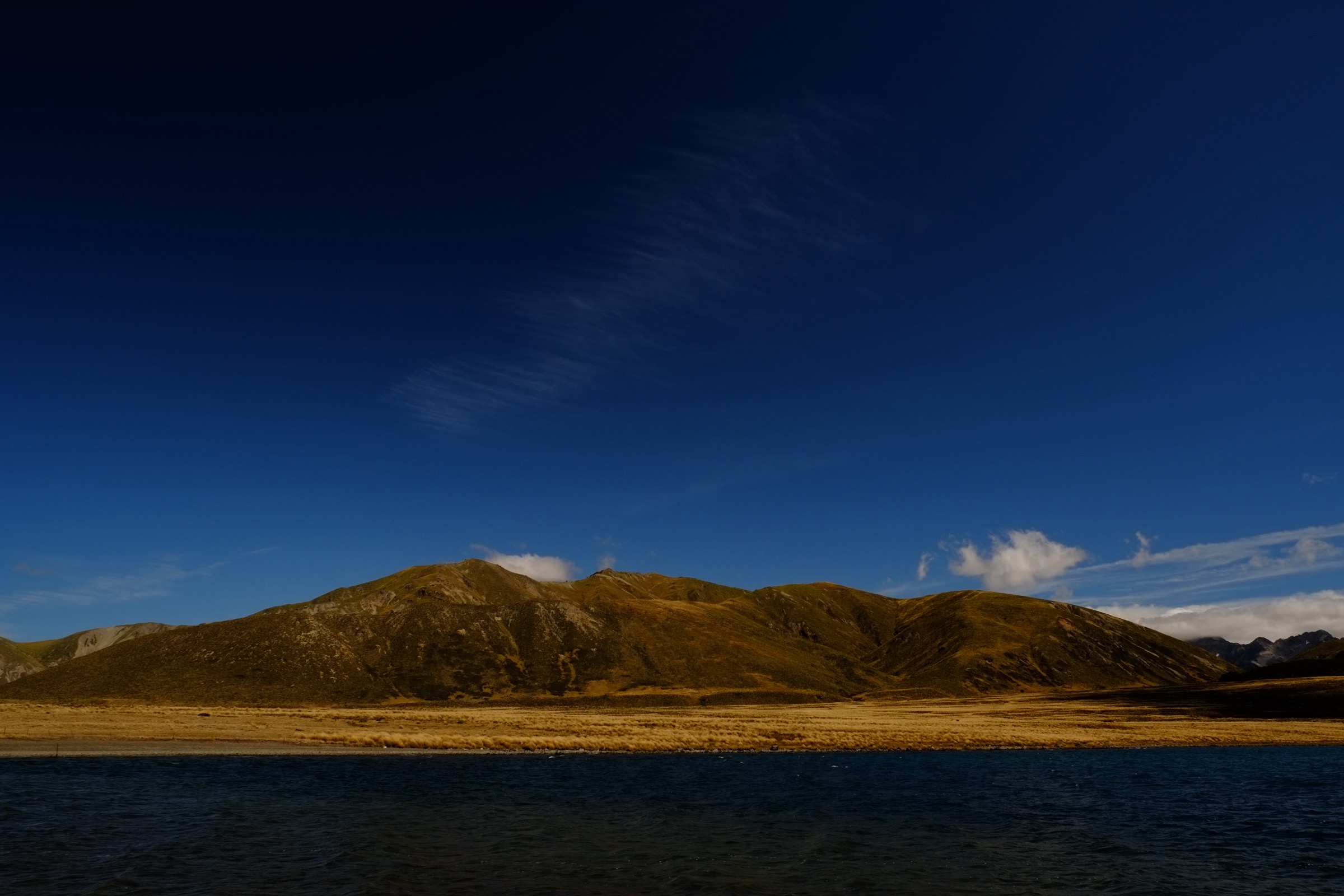
The Spenser Mountains form a compact greywacke range at the head of the Waiau River, running north-west from Lewis Pass toward the junction of the Travers and St Arnaud ranges south of Lake Rotoiti. Mount Una at 2,300 m is the highest point; Faerie Queene, Gloriana and Belvedere sit between 2,000 and 2,200 m. On the northern side the Spensers merge into the southern watershed of Nelson Lakes National Park — the Sabine, East Sabine and D’Urville valleys drain into Lake Rotoroa, the Travers River flows into Lake Rotoiti, and the Ella Range on the western wall of the D’Urville is often treated as a Spenser outlier.
This entry covers the day-walk sector of Nelson Lakes that faces the Spenser divide: the Angelus Basin and Robert Ridge (the northern Travers Range spur that carries the standard approach to the Spensers), the D’Urville side of Lake Rotoroa, the western Ella Range peaks, and the eastern St Arnaud Range above Lake Rotoiti. Access from the north is through St Arnaud village on SH63 — Kerr Bay and West Bay on Lake Rotoiti, and the Mt Robert Road end for the Angelus and Speargrass tracks — and through Rotoroa village at the end of the Gowan Valley Road off SH6, where water taxis run to Sabine Hut and D’Urville Hut on the far shore. Nelson Lakes National Park covers 102,000 hectares and is managed by the Department of Conservation.
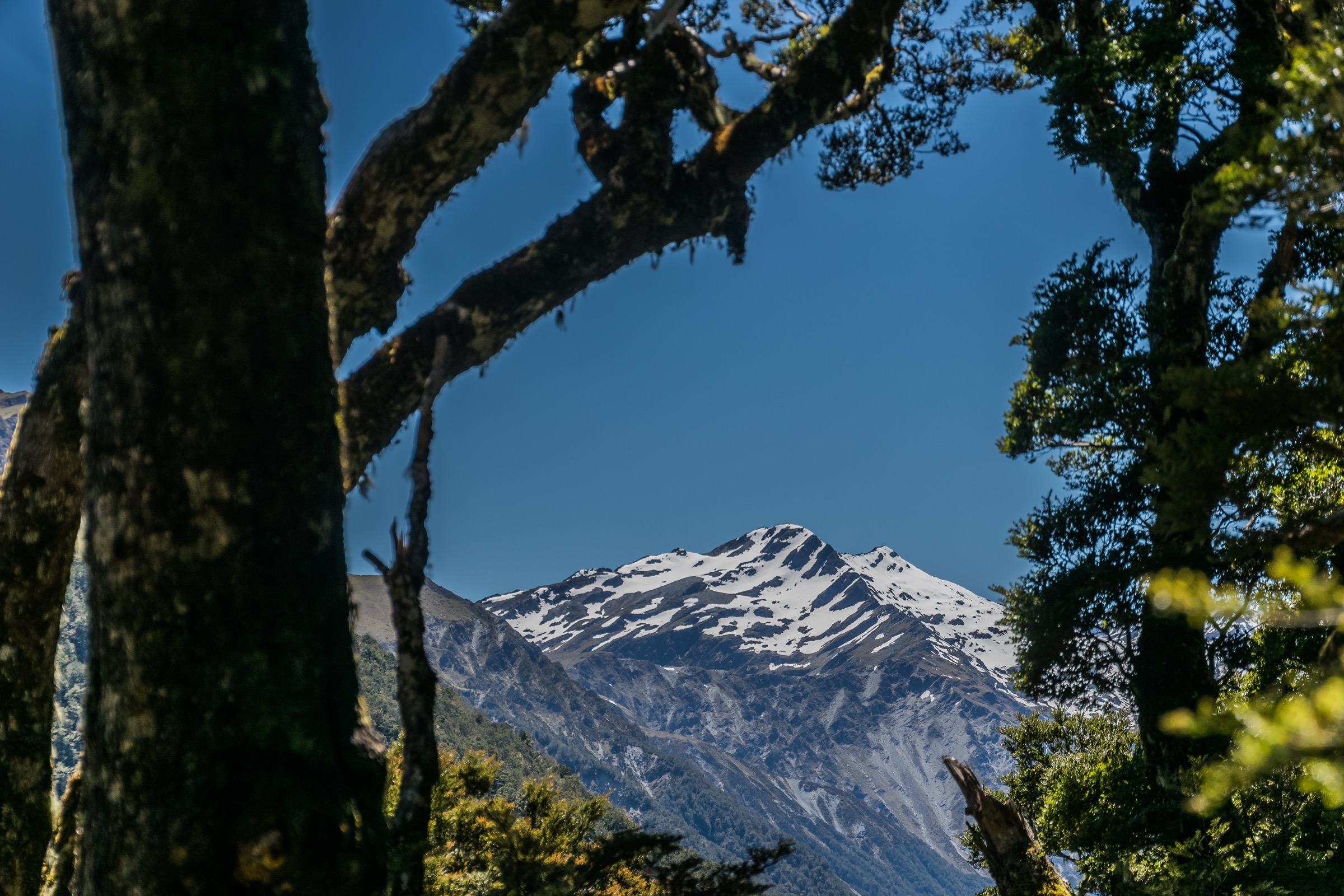
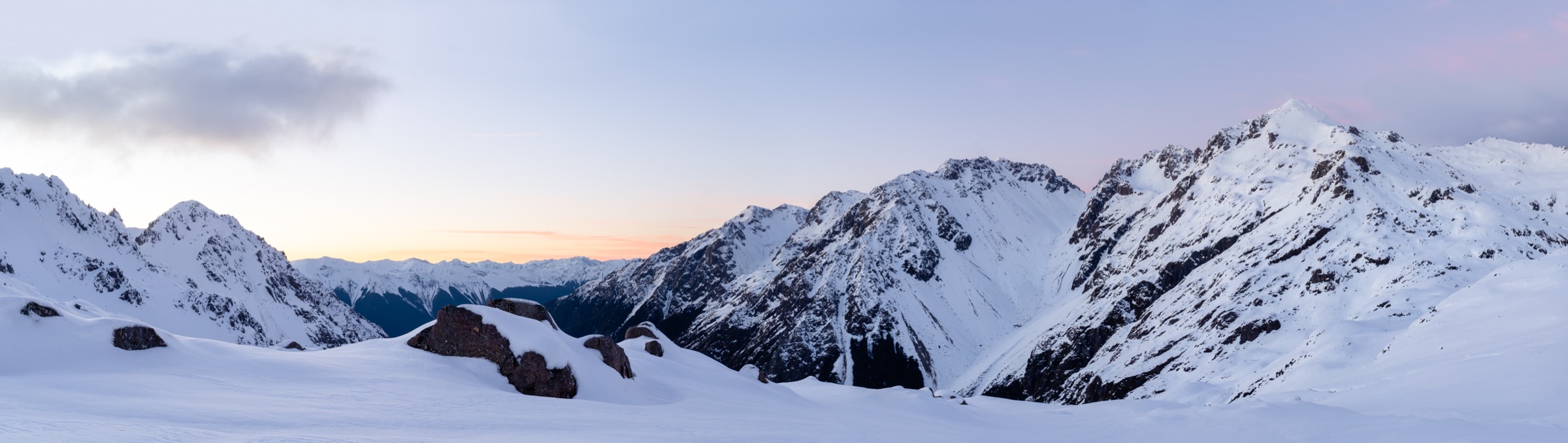
The character is glaciated alpine: U-shaped valleys floored with silver and red beech, hanging cirques with alpine tarns and greywacke summit ridges scoured by strong westerlies. Beech forest reaches roughly 1,400 m; above that the country is tussock, herb-field and scree. Best season for day walks is late November through April. Snow lingers on Robert Ridge and the upper St Arnaud Range into December and returns from May; DOC classifies all above-bushline routes as summer tramping tracks only, with winter attempts requiring alpine skills, ice axe and crampons. Weather is highly changeable, and there is no cell coverage above the bushline anywhere in the park — a personal locator beacon and a completed intentions form via the NZ Mountain Safety Council’s Plan My Walk service are the standard baseline.
Two access wrinkles matter for planning. Angelus Hut (28 bunks) requires a bookable summer fee from roughly late November to late April; day walkers to the ridge do not need a booking but any overnight stay does. The Lake Rotoroa trailheads — Sabine Hut and D’Urville Hut — are water-taxi access only, which means day walks originating from those trailheads require a booked return crossing with Lake Rotoroa Water Taxi. Sibling entries cover the Ada Pass area at the head of the Waiau and the Lewis Pass sector on the southern approach to the range.
Selection rationale
These five hikes represent the day-walk character of the Nelson Lakes southern sector while covering the Spenser Mountains’ approach country. Mount Robert Circuit is the iconic loop with the alpine ridge and Lake Rotoiti view that defines the range from this side. Robert Ridge to Julius Summit is the classic ridge day-hike that puts walkers on the alpine crest leading to Angelus and the Spenser divide. The St Arnaud Range Track is the standard “hard” day walk from Kerr Bay and gives the parallel Torlesse-like eastern range experience. Mt Misery from D’Urville Hut is the only realistic day-hike that reaches a Spenser-adjacent Ella Range summit, using the water taxi to open the D’Urville side. Whisky Falls via the Lakeside Track is the accessible walk representing the beech-podocarp lake shore and the park’s most-photographed waterfall. Multi-day tramps in the sector — Travers–Sabine Circuit, Blue Lake / Rotomairewhenua, Waiau Pass, Moss Pass — sit outside this day-hike catalogue.
Summary
| # | Hike | Trailhead | Route type | Distance | Gain | Max elevation | Difficulty |
|---|---|---|---|---|---|---|---|
| 1 | Mount Robert Circuit | Mt Robert car park, Mt Robert Road | Loop | 9 km | 550–650 m | 1,430 m | Moderate |
| 2 | Robert Ridge Route to Julius Summit | Mt Robert car park, Mt Robert Road | Out-and-back | 14–15 km | 950–1,050 m | 1,794 m | Hard |
| 3 | St Arnaud Range Track to Parachute Rocks | Kerr Bay, Lake Rotoiti | Out-and-back | 10.5 km | 1,080–1,170 m | 1,650–1,787 m | Hard |
| 4 | Mt Misery via D’Urville Hut (water taxi) | D’Urville Hut jetty, southern Lake Rotoroa | Out-and-back | 10 km on foot | 1,100 m | 1,550 m | Hard |
| 5 | Whisky Falls via Lakeside Track | West Bay car park, Lake Rotoiti | Out-and-back | 10.8 km | 150 m | 650 m | Easy |
1. Mount Robert Circuit
Snapshot
Itinerary
The circuit begins at the Mt Robert car park roughly 6 km off SH63 west of St Arnaud. Walked anti-clockwise to save the harder climb for the outbound leg, the route starts up Pinchgut Track, a well-formed zigzag climbing steadily through silver and mountain beech. The first 90 minutes gain most of the day’s elevation and reach the Relax Shelter at the bush edge, a small stone-and-timber refuge from the former Mt Robert Ski Club era. Pinchgut Track then continues out onto open tussock and joins the ridge system near Bushline Hut, a 10-bunk first-come-first-served DOC hut with views south down the Speargrass Valley and east across Lake Rotoiti to the St Arnaud Range.
From Bushline Hut the circuit turns onto Paddy’s Track and traverses the north face of Pourangahau / Mount Robert on an easier gradient, heading east and then north with continuous lake views. The track descends through subalpine scrub before dropping steeply back into beech forest and returning to the car park about 500 m along Mt Robert Road from the start. The loop reverses cleanly clockwise, but the descent of Pinchgut Track is harder on knees than the ascent.
Why it is essential
Mount Robert Circuit is the most-walked day loop in Nelson Lakes National Park and the only well-formed marked-track option that reaches subalpine ridgelines with lake views on this side of the park without requiring hut bookings or route-finding. It is the standard first day-walk recommended by DOC and functions as the natural warm-up for the Robert Ridge Route to Angelus, sharing its first two hours.
Equipment
- Sturdy walking shoes or boots
- Wind and waterproof shell
- Warm layer (mid-weight fleece minimum)
- Hat, gloves outside midsummer
- 1.5–2 L water — no potable water on the track above the Kerr Bay tap
- Sun protection
- Topographic map (NZTopo50 BS24 St Arnaud) or GPS
- Sandfly repellent
Hazards and notes
- Alpine exposure. The ridge section from Relax Shelter to the top of Paddy’s Track is fully exposed to westerlies; weather can change rapidly at any time of year.
- Icy road access. DOC gates Mt Robert Road when it is icy; check the DOC alerts page before travel in shoulder seasons.
- Wasps between December and April.
- Sandflies at the car park and lakeside sections.
- Vehicle break-ins have been reported from the isolated car park; do not leave valuables visible.
- Dogs are prohibited within Nelson Lakes National Park.
2. Robert Ridge Route to Julius Summit
Snapshot
Itinerary
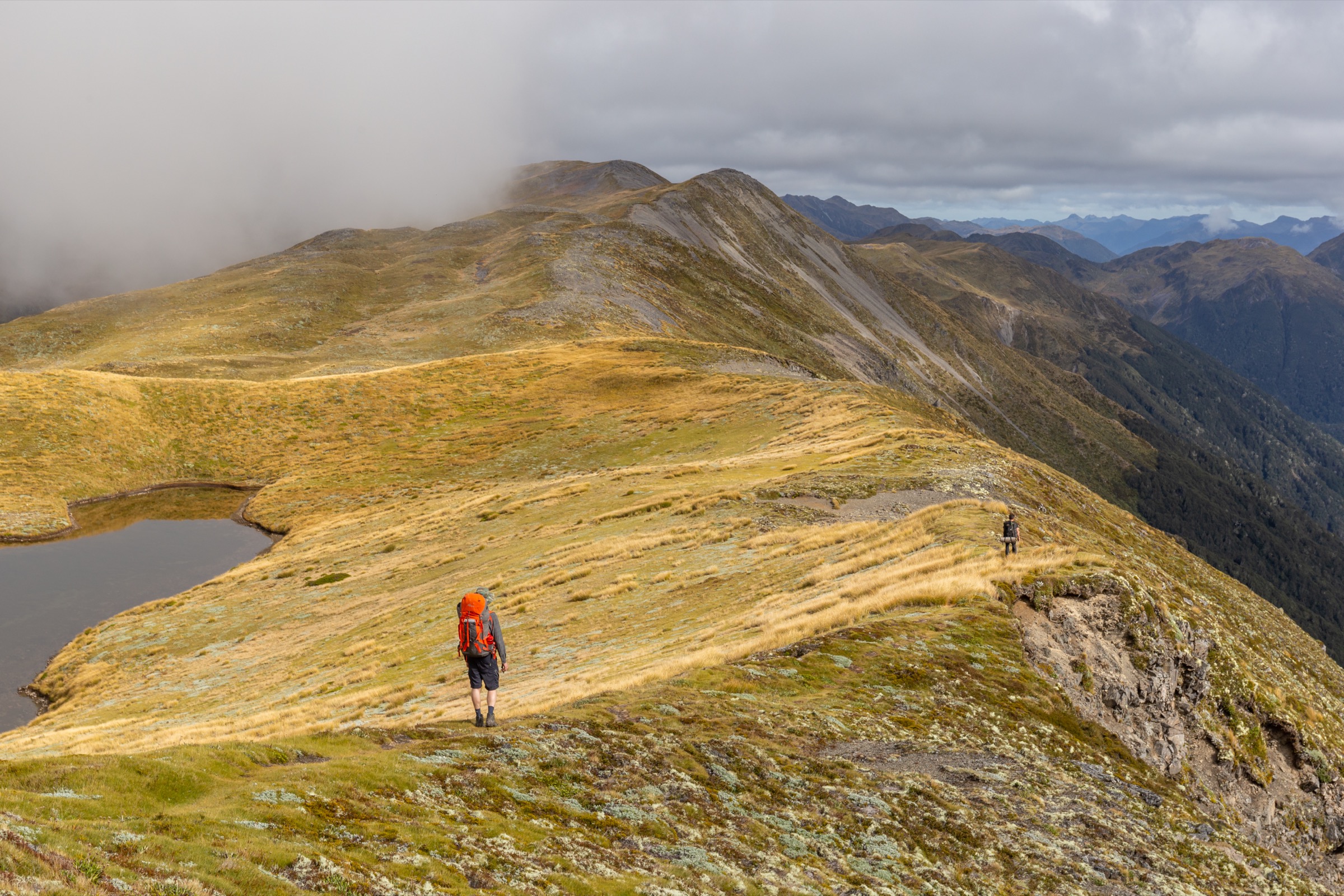
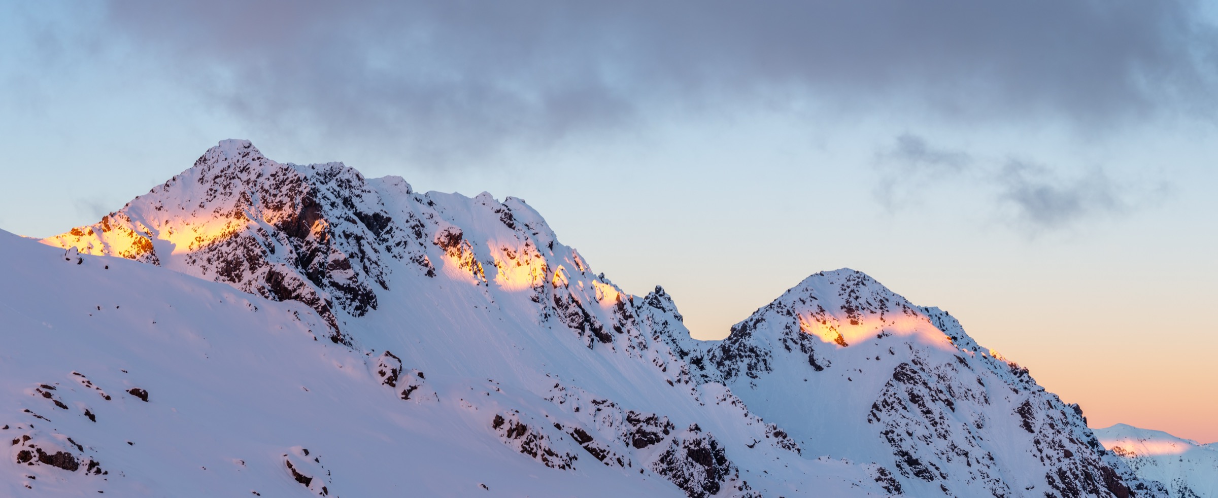
The first 90 minutes follow Pinchgut Track from the Mt Robert car park to Relax Shelter at the bush edge (as for Hike 1). From here the Robert Ridge Route continues along the ridgeline, initially on a broad tussock crest with occasional rocky bumps and intermittent orange poles. The first named high point is Flagtop at about 1,690 m, reached in another 60–90 minutes. Beyond Flagtop the ridge becomes more broken and the walking rockier, with several minor scrambly sections requiring hands. The route continues south along the crest, past sharp drop-offs on the eastern side toward the Speargrass Valley, before rising to Julius Summit at 1,794 m about four hours from the car park.
From Julius the view opens south and west across the Angelus Basin, the Hukere Stream and Shift Creek valleys, and directly into the Spenser Mountains proper — Mount Cedric, Maniniaro / Angelus Peak, and the Sabine watershed. Angelus Hut sits on the shore of Rotomaninitua / Lake Angelus a further two to three hours south, but this is normally an overnight destination. A day-trip party should turn around at or before Julius. The descent of Pinchgut Track is the section most likely to produce fatigue-related slips.
Why it is essential
Robert Ridge to Julius Summit is the classic alpine ridge day-hike of Nelson Lakes and, in DOC’s own description, “the most popular route [to Angelus] in fine weather.” It reaches a fully exposed subalpine ridgeline with views into the Spenser Mountains without requiring hut booking or route-finding, and is the standard training day-tramp for parties preparing for the Angelus overnight, the Travers–Sabine Circuit or the Waiau Pass traverse.
Equipment
- Sturdy boots
- Trekking poles recommended for descent
- Full waterproof shell and warm insulation layer
- Hat and gloves outside midsummer
- 2 L water minimum — no water on the ridge
- Topographic map (NZTopo50 BS24) and compass
- Personal Locator Beacon strongly recommended
- Sun protection — fully exposed
- Headtorch
- Ice axe and crampons if snow lingers on the ridge
Hazards and notes
- Very exposed ridge. DOC states Robert Ridge is subject to high winds and poor visibility at any time of year; a whiteout with unmarked sections between poles is disorienting.
- No water on the route. Carry the full day’s supply.
- Rocky scrambling between Flagtop and Julius; not technical in dry conditions but slippery when wet or icy.
- Convective summer lightning on the exposed ridge; retreat immediately.
- Kea are present and will investigate unattended packs and vehicle wiper rubber.
- Winter avalanche terrain from late autumn onward; DOC lists this as “Route” grade only.
- No permit required — full public conservation land.
3. St Arnaud Range Track to Parachute Rocks and range top
Snapshot
Itinerary
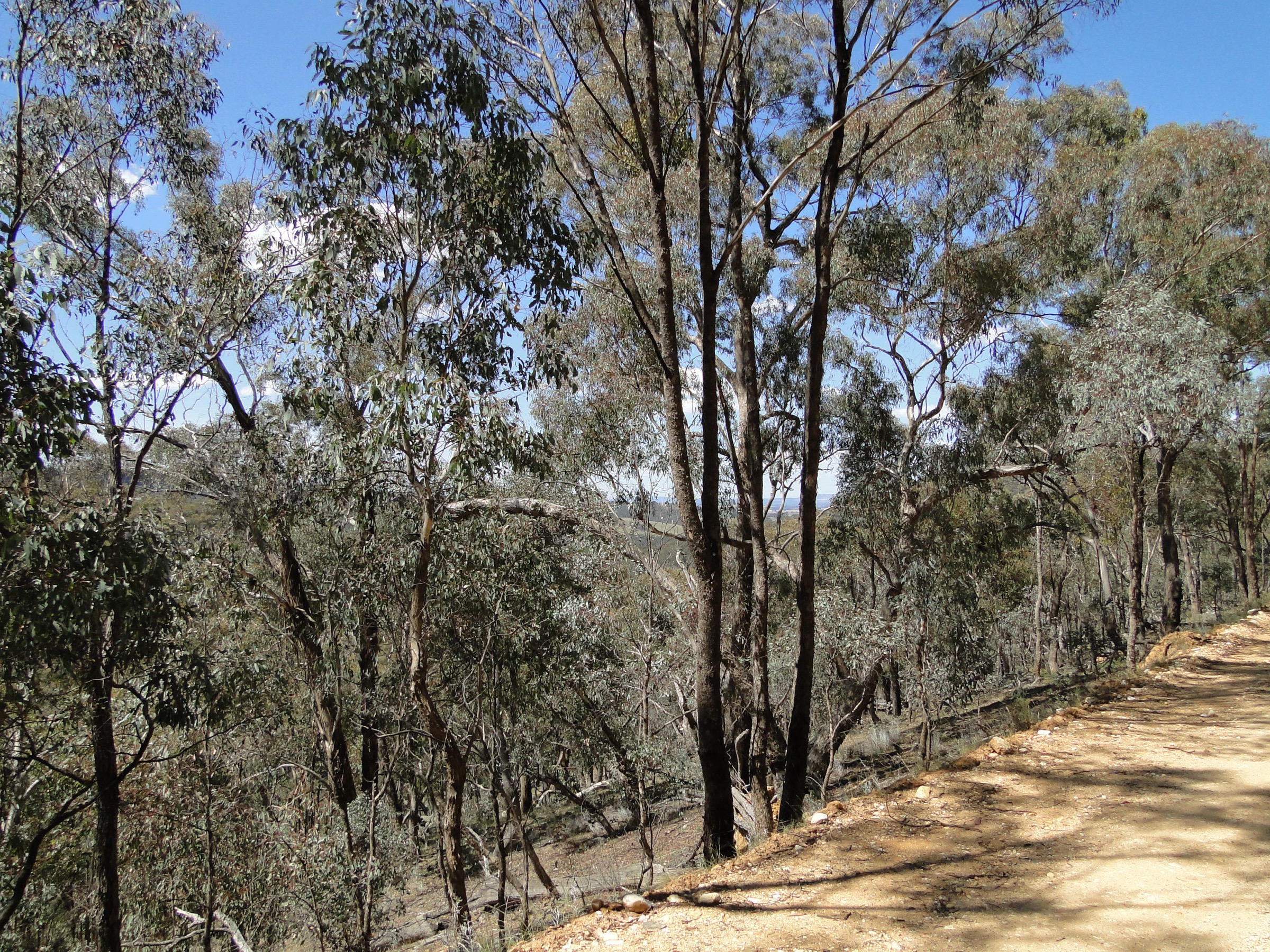
The track begins at the eastern corner of Kerr Bay, adjacent to the campground on the shore of Lake Rotoiti. It leaves the lakeside promptly and enters mixed red and mountain beech, climbing on a well-graded tramping-track surface with steady zigzags. The gradient is relentless from the start; the forest offers shade and shelter but hides the developing view until near the bushline. Roughly two hours of steady climb bring walkers to Parachute Rocks at about 1,400 m, a set of prominent greywacke outcrops just above the bush edge that make a natural rest and turnaround point for less-committed parties.
Above Parachute Rocks the track transitions to a poled route across alpine tussock and herb-field, climbing another 250–400 m to the ridge crest in a further 30–60 minutes. From the ridge the view is west across Lake Rotoiti to Robert Ridge and the Travers Range, and east into the Rainbow Valley and the Freyberg Range. Strong parties often extend along the poled crest for another 20–30 minutes before returning. Descent is by the same route; the beech-forest section can be slippery in wet conditions.
Why it is essential
The St Arnaud Range Track is the eastern counterpart to Mount Robert on the west shore of Lake Rotoiti — the classic hard day walk that gives a fit tramper direct access to a subalpine ridge with 360-degree views in a single day. It is the only tramping-graded day walk on the eastern side of the lake and the standard training walk for parties heading on to the Travers–Sabine Circuit or Angelus Hut.
Equipment
- Sturdy boots
- Trekking poles recommended
- Full waterproof shell and warm insulation
- Hat and gloves outside midsummer
- 2 L water minimum — no water above lakeside
- Topographic map (NZTopo50 BS24 St Arnaud)
- Personal Locator Beacon recommended for the alpine section
- Sun protection — the ridge is fully exposed
- Sandfly repellent for the lakeside sections
Hazards and notes
- Sustained climb. The 1,000 m+ gain over roughly 5 km makes this a genuinely hard day walk; DOC grades it tramping-track / route.
- Alpine exposure. From Parachute Rocks to the ridge crest the route is fully exposed to wind and weather.
- Ice and snow. The upper section can be very slippery in snow or ice and is not recommended without alpine skills outside the summer season.
- Wasps between December and April.
- Sandflies at Kerr Bay lakeside.
- Vehicle theft has been reported from Kerr Bay car park; do not leave valuables visible.
- Kea at higher elevations and weka around the trailhead.
4. Mt Misery via D’Urville Hut (water taxi access)
Snapshot
Itinerary
The trip begins at Rotoroa village at the northern end of Lake Rotoroa, where the Lake Rotoroa Water Taxi departs for D’Urville Hut jetty at the southern end of the lake. The crossing is approximately 30 minutes each way; parties agree a return pickup time with the operator before departure. From the D’Urville Hut jetty the Mt Misery Track begins immediately behind the hut, following the true-right side of Ella Stream up-valley through mixed silver and red beech.
The first kilometre is relatively easy on a well-defined bush track. The gradient then steepens abruptly, climbing roughly 800 m in the next kilometre on a spur through dense beech and moss with occasional slippery roots. At about 1,200 m the ridge becomes better-defined and the track more straightforward underfoot. The bushline is reached at approximately 1,400 m and the poled route continues across an alpine tussock ridge to Mount Misery Hut, a small four-bunk DOC hut at 1,550 m. From the hut the ridge extends south toward Mt Windward with 360-degree views over the D’Urville River, the Travers Range, the Ella Range’s northern spurs and the peaks of the Spenser main divide — Mt Ella, Faerie Queene and Una — to the south. Strong parties often continue 20–40 minutes along the ridge before returning.
Return is by the same route; the descent through the steep bush section is the most fatiguing part of the day and the main source of slips. The water taxi return crossing brings the party back to Rotoroa village.
Why it is essential
Mt Misery is the only realistic day walk that reaches a genuine Ella Range / Spenser outlier summit from the Nelson Lakes side and gives day-visitors direct visual access to the main Spenser divide. It sits at the harder end of what is realistically a day-walk in this sector — one of the steepest maintained bush tracks in the park, and dependent on boat logistics — but represents the “Spenser-facing” character of the range in a way none of the other day options do.
Equipment
- Sturdy boots with grip for the very steep bush section
- Trekking poles strongly recommended for the descent
- Full waterproof shell and warm layer
- Hat and gloves outside midsummer
- 2 L water minimum — no water on the ridge; carry all water from the lake
- Topographic map (NZTopo50 BS24 St Arnaud, BS23 Motupiko as needed)
- Personal Locator Beacon — no cell coverage, remote location
- Water taxi booking with confirmed return time
- Headtorch
- Ice axe and crampons outside summer
Hazards and notes
- Water taxi logistics. Lake Rotoroa Water Taxi is the only commercial operator on the lake; missing the pre-agreed return time means either an unplanned overnight at D’Urville Hut (which requires a DOC ticket) or a long unofficial walk-out. Confirm pickup time in writing before departure.
- Extreme gradient. The bush section between roughly 700 m and 1,500 m is one of the steepest maintained bush tracks in Nelson Lakes; descent is where most injuries occur.
- No water on the route above the lake. Carry the full day’s supply.
- Alpine exposure on the ridge and hut area.
- The upper ridge is avalanche terrain from late autumn to early summer; consult the NZ Mountain Safety Council avalanche advisory.
- No alternative descent — retreat is via the same route to D’Urville Hut.
- Sandflies at both lake landings.
- Wasps between December and April.
- Kea at the tops.
5. Whisky Falls via Lakeside Track
Snapshot
Itinerary
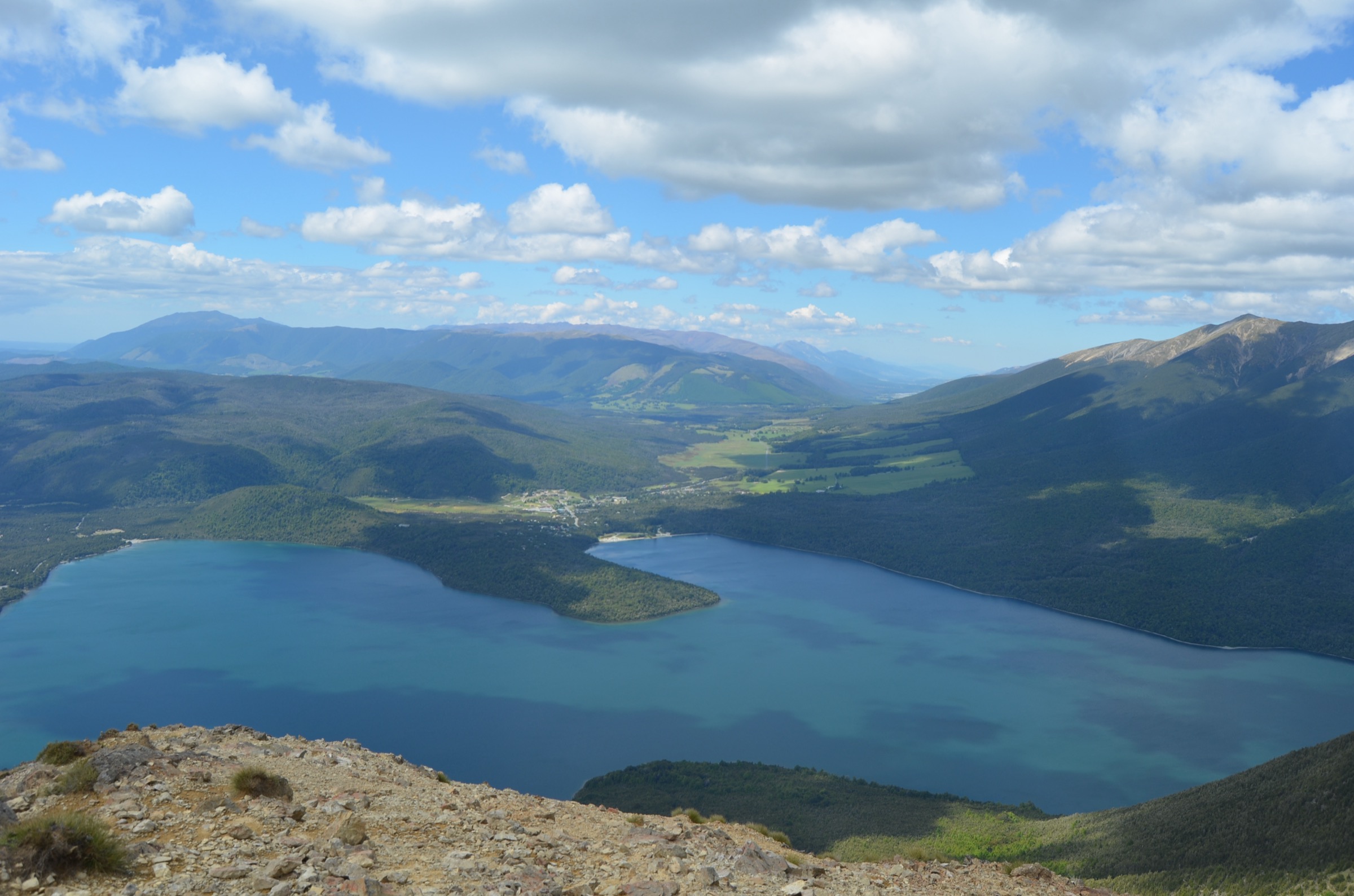
The walk begins at the West Bay car park, where the Lakeside Track leaves the shore and enters mixed beech and podocarp forest. The track follows the western shore of Lake Rotoiti southward, remaining close to the water and passing occasional small beaches and shingle fans. The forest is diverse for a Nelson Lakes lakeside — one of the richest beech-podocarp remnants in the park — and includes rimu, kahikatea and matai among the beech.
After roughly 4 km the track crosses Coquet Stream by rock-hopping (unbridged, tricky after rain), passes the Anglers Access swimming beach, and continues south to Whisky Falls itself — a 40 m plunge dropping into a moss- and fern-clad basalt bowl set back from the lake. The final approach turns inland briefly and follows a short spur to the base of the falls. Return is by the same route. The track continues south beyond the falls toward Coldwater Hut and forms the western half of the Lake Rotoiti Circuit for parties combining it with the Lakehead Track on the eastern shore.
Why it is essential
Whisky Falls is the accessible day walk of the sector: an easy-graded lakeside route through mature beech-podocarp forest ending at the most-photographed waterfall in the park. It complements the four higher, more demanding entries in the catalogue and gives visitors the “big lake” experience of Lake Rotoiti — the lake that anchors St Arnaud village and Nelson Lakes National Park.
Equipment
- Walking shoes or lightweight boots
- Light waterproof
- Warm layer
- 1.5 L water
- Sandfly repellent — essential at the lakeside
- Snack or lunch
- Map (NZTopo50 BS24)
Hazards and notes
- Sandflies are very active year-round at the lakeside.
- Wasps between December and April.
- Coquet Stream is unbridged; not passable safely in heavy rain or freshets. Turn back if uncertain.
- The lake sits at 620 m and can produce sudden cold rain in any month; carry a shell.
- Sun exposure on the beaches.
- Dogs are prohibited within Nelson Lakes National Park.
Further reading
| Resource | Link |
|---|---|
| DOC — Nelson Lakes National Park | doc.govt.nz |
| DOC — Mount Robert Circuit | doc.govt.nz |
| DOC — Angelus Hut via Pinchgut Track and Robert Ridge Route | doc.govt.nz |
| DOC — St Arnaud Range Track | doc.govt.nz |
| DOC — Mount Misery Hut | doc.govt.nz |
| DOC — Lake Rotoiti Circuit (Lakeside Track and Whisky Falls) | doc.govt.nz |
| DOC — Nelson Lakes multi-day hikes brochure (PDF) | doc.govt.nz |
| Plan My Walk — NZ Mountain Safety Council | planmywalk.nz |
| Lake Rotoroa Water Taxi | lakerotoroawatertaxi.co.nz |
| MetService — Nelson-Tasman regional forecast | metservice.com |
| Wikipedia — Spenser Mountains | en.wikipedia.org |
| Wikipedia — Nelson Lakes National Park | en.wikipedia.org |
| Sibling entry — Spenser Mountains: Ada Pass area | storm.ski |
| Sibling entry — Spenser Mountains: Lewis Pass sector | storm.ski |