Regional overview
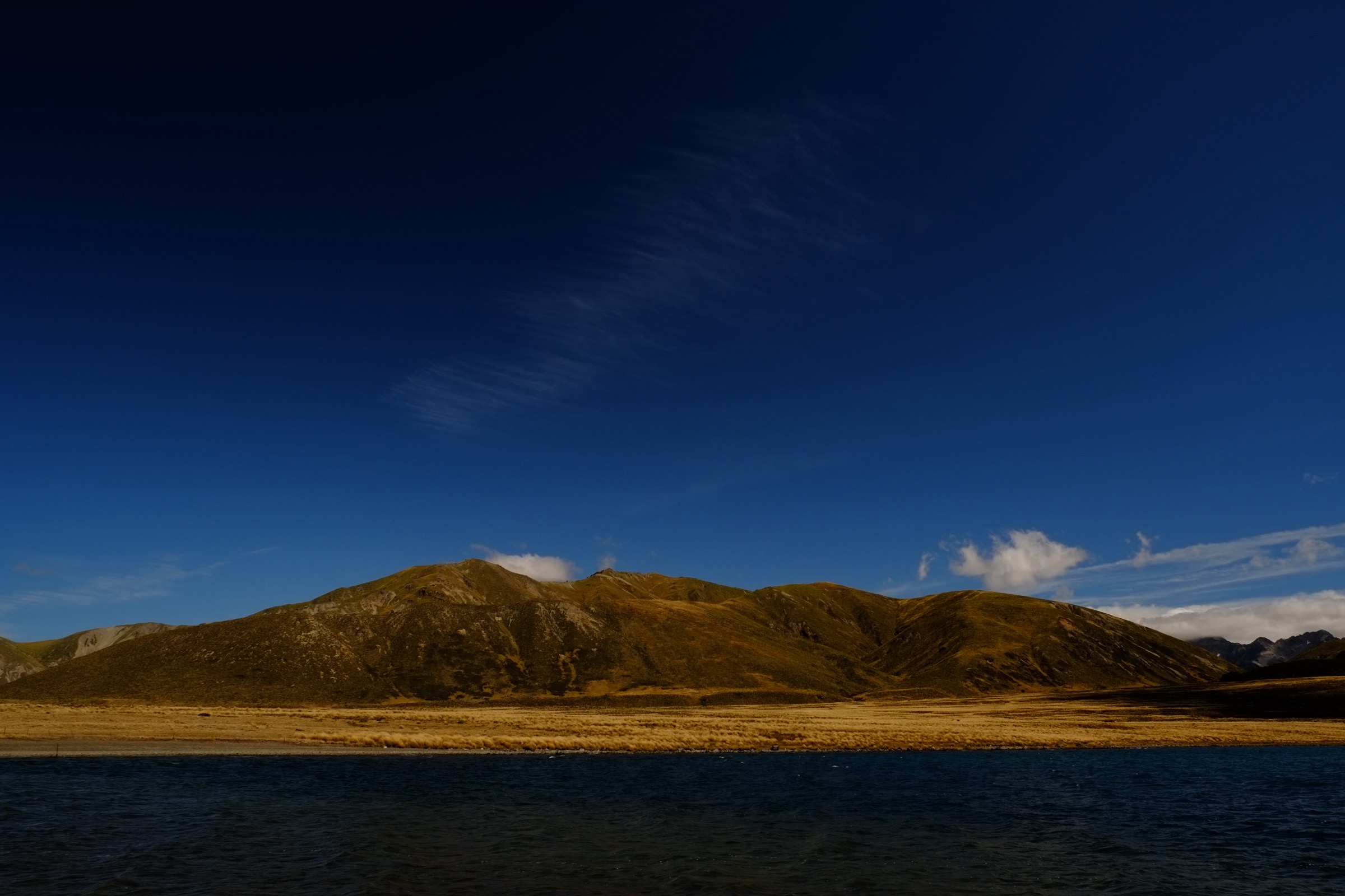
The Lake Tennyson sector sits in remote inland high country between Molesworth / Rainbow Road access and the western St James Conservation Area. The walking character is open, windy, and sparsely serviced — broad lake basins, tussock passes, 4WD roads, old stock routes, and long views to the Spenser, St James, and Inland Kaikoura country. DOC uses “Spenser Mountains” as the official spelling; older sources occasionally render the range as “Spencer”.
This is not a dense day-walk area. DOC verifies the access, campsites, cycle-trail sections, huts, and longer tramping routes more strongly than it verifies neat standalone day hikes. The catalogue below mixes short official or sourceable lake walks, a secondary-source summit near Lake Tennyson, and day-sized sections of the St James network. Best conditions are late spring to autumn; snow, frozen ground, road closures, high winds, isolation, and limited cellphone coverage are the recurring practical issues. The neighbouring Lewis Pass and Nelson Lakes southern sectors are catalogued in their own entries and are excluded here — see the Lewis Pass sector, Ada Pass area, and Nelson Lakes southern sector.
Selection rationale
These five hikes cover the sector’s essential day-hike themes: Lake Tennyson itself, a local high-country summit, a historic St James pass, Lake Guyon, and the more formal Homestead Run loop. Official GPX/KML downloads were not found in this research pass; source-map, brochure, and third-party route links are provided in each entry.
Summary table
| # | Hike | Country | Route type | Distance | Approx. gain | Max elevation | Difficulty |
|---|---|---|---|---|---|---|---|
| 1 | Lake Tennyson Campsite Walk | New Zealand | Out-and-back | ~2.3 km | ~24 m | ~1,120 m | Easy |
| 2 | Lake Tennyson Campsite to Mount McCabe | New Zealand | Out-and-back / unmarked route | ~7.9 km | ~552 m | ~1,602 m | Hard |
| 3 | Maling Pass Track to Maling Pass | New Zealand | Out-and-back | ~13 km | ~250 m (approx.) | ~1,308 m | Moderate |
| 4 | Waiau road end to Lake Guyon Hut | New Zealand | Out-and-back with 4WD access | ~14 km | Low-moderate; unresolved | ~760 m (Lake Guyon basin) | Moderate |
| 5 | Homestead Run Loop | New Zealand | Loop | ~15 km (DOC) | ~200 m (approx.) | ~900 m (Peters Pass) | Moderate |
Before you go
Permits and access
Lake Tennyson sits on the boundary of the Molesworth Recreation Reserve and the St James Conservation Area; access is via gravel roads through Molesworth from the north or Rainbow Road from the south, both of which are seasonally restricted and can be closed by weather or maintenance. The Waiau, Maling Pass, and Homestead Run trailheads sit inside St James; check DOC St James conditions and gate arrangements before travel. Dogs are excluded from many DOC conservation areas here — confirm current local rules before departure. No public transport serves this sector.
Standard Lake Tennyson day-hiking kit
- Mountain hiking kit: boots, waterproof/windproof shell, warm insulating layer, gloves and hat outside summer, food, water and treatment, map and GPS.
- Personal locator beacon (PLB) — cellphone coverage is unreliable to absent across the whole sector.
- Wind protection is a bigger control than temperature: the basins funnel southerly gusts even in fine weather.
- Extra fuel, food, and a warm layer for vehicle emergencies on the access roads.
Common hazards
Open exposure, sudden weather change, cold winds, remote gravel-road access, and low overall traffic in the area. Rivers and streams can rise quickly in rain and snowmelt. Historic 4WD and cycle-trail corridors are shared use; expect bikes and occasional management vehicles. Rain can make the Maling Pass and Waiau access roads impassable to standard vehicles.
1. Lake Tennyson Campsite Walk
Snapshot
Itinerary
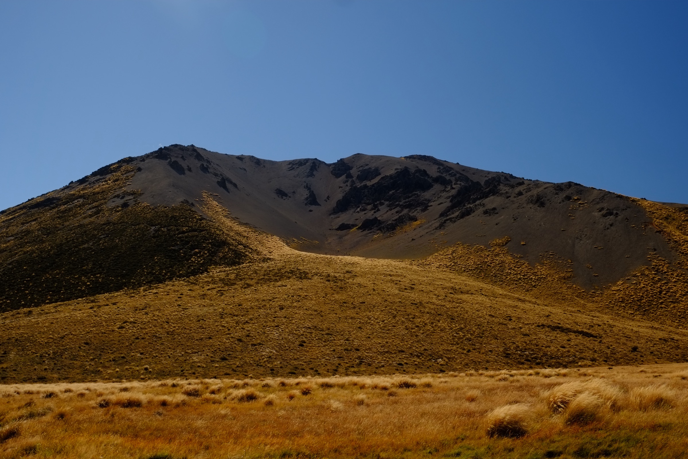
From the Lake Tennyson campsite, follow the lakeshore walking line described by AllTrails for a short out-and-back beside the high-country lake. The route gives the simplest day access to the basin and can be extended only where legal access and ground conditions are clear.
Why it is essential
Lake Tennyson is the sector’s defining landmark and a practical base for the surrounding high-country routes. This short walk is below normal catalogue length, but it is the most accessible lakeshore experience in the area.
Hazards and notes
- Remote gravel-road access; cold wind and sudden weather change are the main practical hazards.
- Confirm DOC Molesworth and Rainbow Road status before travel.
- Verification is secondary-source: DOC verifies the campsite and wider access context rather than a formal walking track for this loop.
GPX / KML links
| Source | URL | Format | Notes |
|---|---|---|---|
| DOC: Lake Tennyson Campsite | doc.govt.nz | Official campsite / access page | DOC website terms; no GPX found |
| DOC: Molesworth Recreation Reserve | doc.govt.nz | Official reserve page | DOC website terms |
| AllTrails cross-check | alltrails.com | Third-party route page | Secondary geometry / stat comparison only |
| OpenStreetMap: Lake Tennyson | openstreetmap.org | OSM area | ODbL; attribution required |
Further reading
2. Lake Tennyson Campsite to Mount McCabe
Snapshot
Itinerary
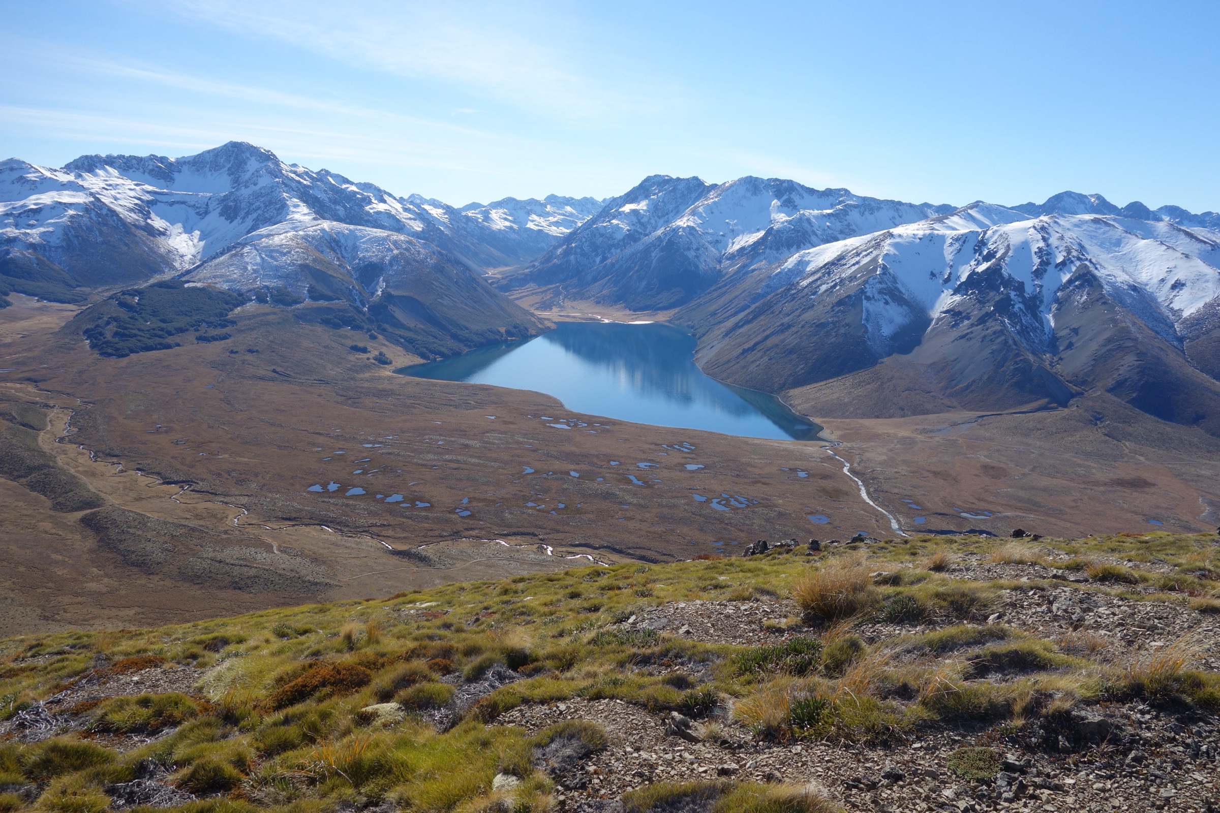
From the Lake Tennyson campsite, the secondary-source route climbs away from the lake through exposed tussock and scree to Mount McCabe. Return by the same line. Treat the ascent as an unmarked high-country route rather than a maintained walking track — no DOC walking-track page was found in this pass.
Why it is essential
Mount McCabe supplies the compact summit objective for the sector: a lake-to-open-tops route with broad views over the basin and the neighbouring St James and Spenser high country.
Hazards and notes
- Unmarked terrain, scree, exposure to wind and poor visibility, and limited shelter.
- Early or late season snow can turn the climb into a mountaineering objective.
- Verify legal access and exact route geometry before creating any derivative GPX.
GPX / KML links
| Source | URL | Format | Notes |
|---|---|---|---|
| AllTrails cross-check | alltrails.com | Third-party route page | Secondary geometry / stat comparison only |
| DOC: Molesworth Recreation Reserve | doc.govt.nz | Official access context | DOC website terms; no route file found |
| OpenStreetMap: Lake Tennyson / Mount McCabe area | openstreetmap.org | OSM area | ODbL; attribution required |
Further reading
3. Maling Pass Track to Maling Pass
Snapshot
Itinerary
Follow the 4WD / cycle-trail corridor from the Maling Pass access toward the pass. The route climbs open high-country terrain to Maling Pass, then returns by the same line. Continuing beyond the pass leads toward the Waiau River and the longer St James routes.
Why it is essential
Maling Pass is one of the key historic and practical gateways between Lake Tennyson access and the St James interior. It gives a compact pass objective without committing to the full cycle trail or hut network.
Hazards and notes
- Open exposure, snow risk, and low walking traffic.
- Shared use with bikes and possible 4WD management access.
- Day-hike distance and gain should be mapped from a legal topographic source before any derivative GPX is created.
GPX / KML links
| Source | URL | Format | Notes |
|---|---|---|---|
| DOC: St James Conservation Area brochure (PDF) | doc.govt.nz PDF | Official brochure / source map | DOC website terms; no GPX found |
| DOC: St James Cycle Trail | doc.govt.nz | Official route / access page | DOC website terms; no GPX found |
| NZ Cycle Trail: St James | nzcycletrail.com | Official cycle-trail page | Site terms; no GPX found |
| OpenStreetMap: Maling Pass | openstreetmap.org | OSM area | ODbL; attribution required |
Further reading
4. Waiau road end to Lake Guyon Hut
Snapshot
Itinerary
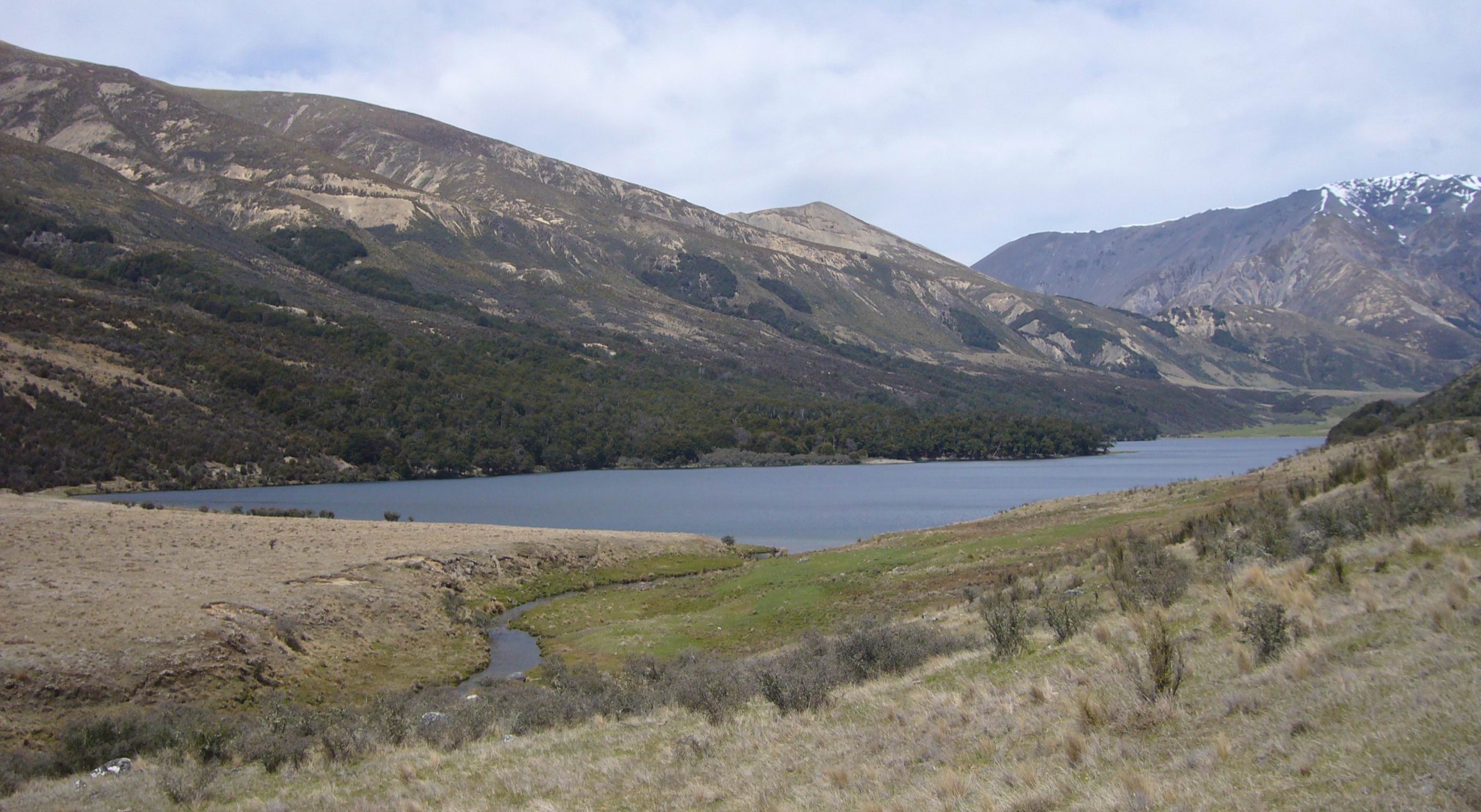
From the Waiau 4WD road end, follow the St James route toward the Lake Guyon junction, then continue to Lake Guyon Hut and the lake shore. Return the same way. This day hike assumes legal vehicle access to the Waiau road end; walking all the way from the Maling Pass trailhead makes a much longer day.
Why it is essential
Lake Guyon is the sector’s classic enclosed lake objective and a key St James landscape: beech margins, open valley floors, and the historic Lake Guyon Hut setting.
Hazards and notes
- Access is the main constraint — confirm the Maling Pass 4WD road and any gate arrangements before travel.
- River and stream conditions, remoteness, sandflies, and sudden weather change are the recurring hazards.
- No official GPX was found.
GPX / KML links
| Source | URL | Format | Notes |
|---|---|---|---|
| DOC: St James Conservation Area brochure (PDF) | doc.govt.nz PDF | Official brochure / source map | DOC website terms; no GPX found |
| DOC: St James Cycle Trail | doc.govt.nz | Official route / access page | DOC website terms; no GPX found |
| OpenStreetMap: Lake Guyon area | openstreetmap.org | OSM area | ODbL; attribution required |
Further reading
5. Homestead Run Loop
Snapshot
Itinerary
From the St James Homestead area, follow the signed Homestead Run loop through Peters Valley, crossing open flats and climbing over Peters Pass before returning to the homestead area. The route is also used by mountain bikers and forms part of the wider St James recreation network.
Why it is essential
Homestead Run is the clearest official loop in the wider St James / Lake Tennyson access area. It gives a full day-sized circuit without relying on hut logistics or an out-and-back pass walk.
Hazards and notes
- Open high-country exposure, shared-use trail, limited shade.
- Confirm current DOC alerts and any access restrictions before departure.
- Dogs and other access rules must be confirmed locally.
GPX / KML links
| Source | URL | Format | Notes |
|---|---|---|---|
| DOC: Homestead Run | doc.govt.nz | Official route page | DOC website terms; no GPX found |
| DOC: St James Conservation Area brochure (PDF) | doc.govt.nz PDF | Official brochure / source map | DOC website terms; no GPX found |
| OpenStreetMap: St James Homestead area | openstreetmap.org | OSM area | ODbL; attribution required |
Further reading
Verification notes
- No official DOC or LINZ GPX/KML downloads were found for any of the five routes in this research pass.
- Maling Pass day-turnaround distance and gain need manual mapping from a legal topographic source.
- Waiau road end to Lake Guyon Hut walking time and gain need manual mapping; access depends on current 4WD and gate conditions.
- Homestead Run gain and loss should be measured from official map geometry if a derivative GPX is later created.
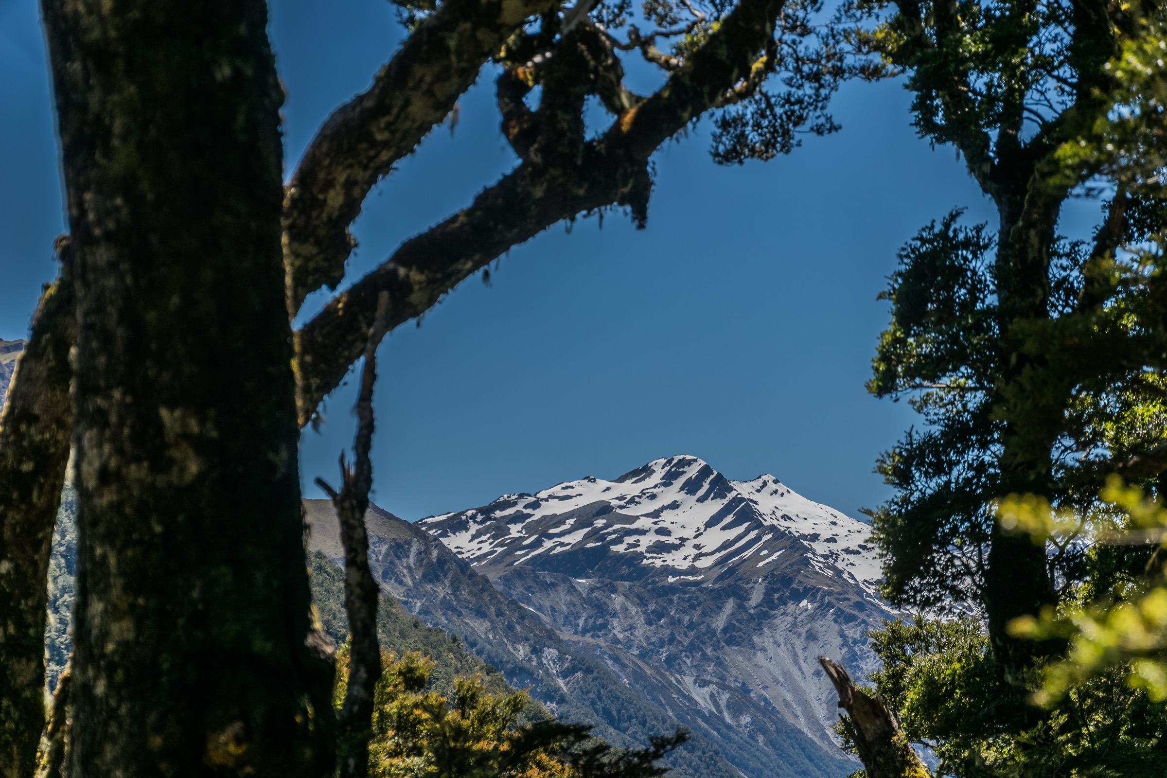
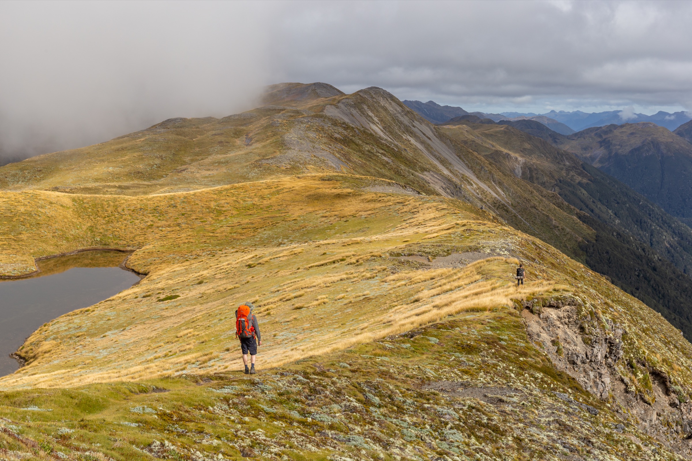
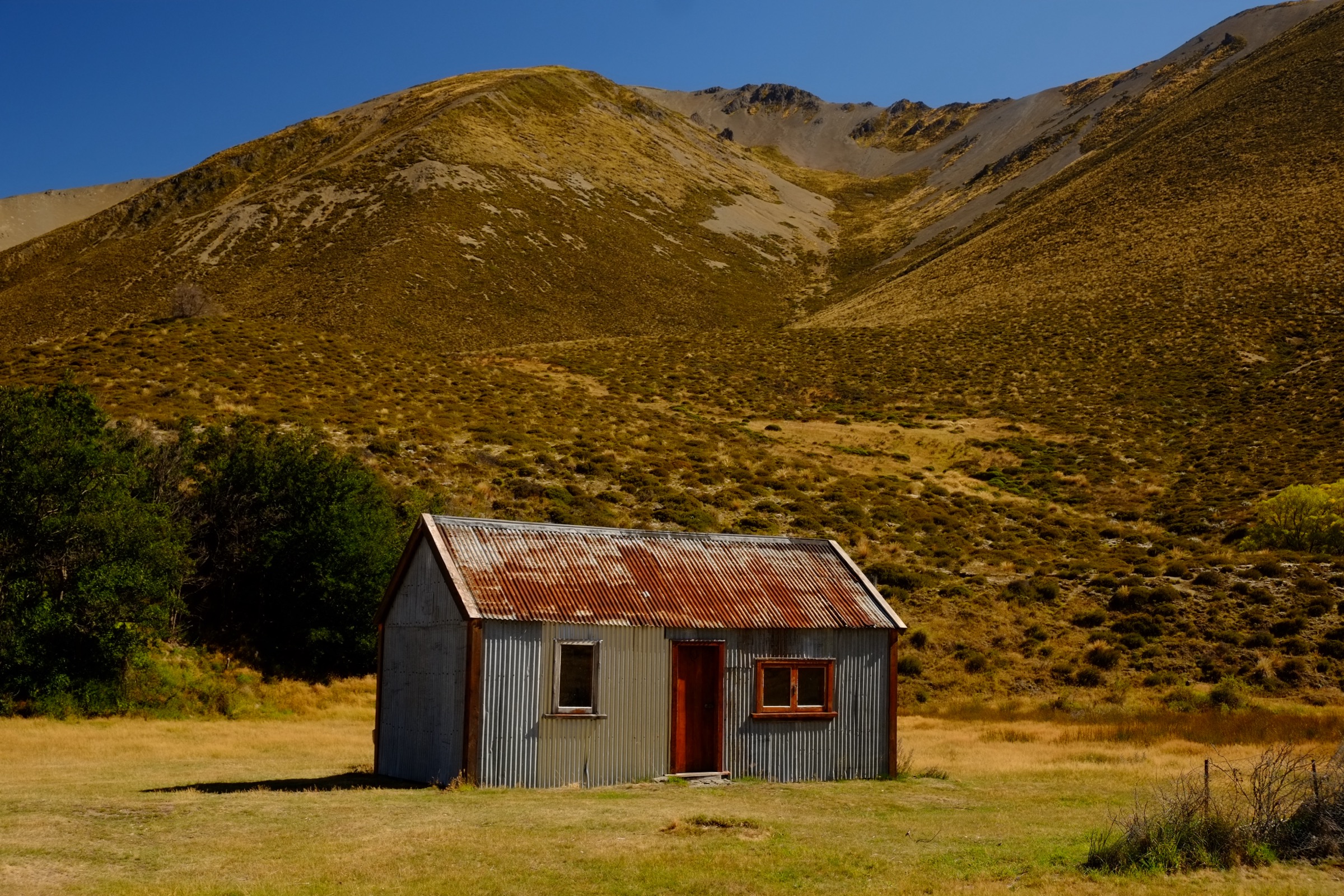
- Licence-compatible route-specific images were not found for Maling Pass or the Homestead Run loop; the hike 3 and hike 5 figures are context photos from the same sector rather than the exact route line.
Further reading
| Source | URL |
|---|---|
| DOC Lake Tennyson Campsite | doc.govt.nz |
| DOC Molesworth Recreation Reserve | doc.govt.nz |
| DOC St James Conservation Area brochure (PDF) | doc.govt.nz PDF |
| DOC St James Cycle Trail | doc.govt.nz |
| DOC Homestead Run | doc.govt.nz |
| NZ Cycle Trail — St James | nzcycletrail.com |
| Storm — Nelson Lakes southern sector, Spenser Mountains | storm.ski article |
| Storm — Ada Pass area, Spenser Mountains | storm.ski article |
| Storm — Lewis Pass sector, Spenser Mountains | storm.ski article |
| Wikipedia — Spenser Mountains | en.wikipedia.org |
| Wikipedia — St James Conservation Area | en.wikipedia.org |