Regional overview
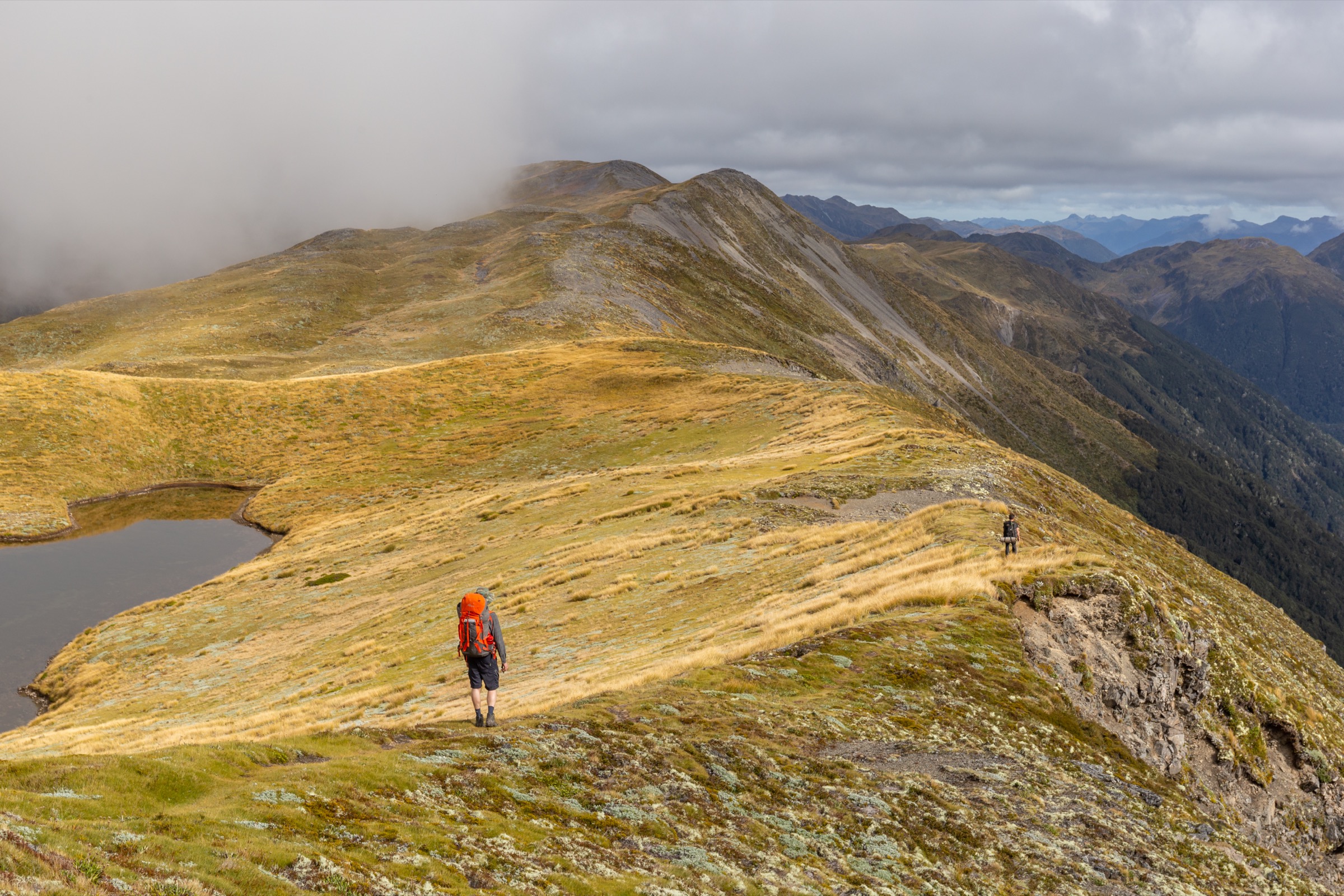
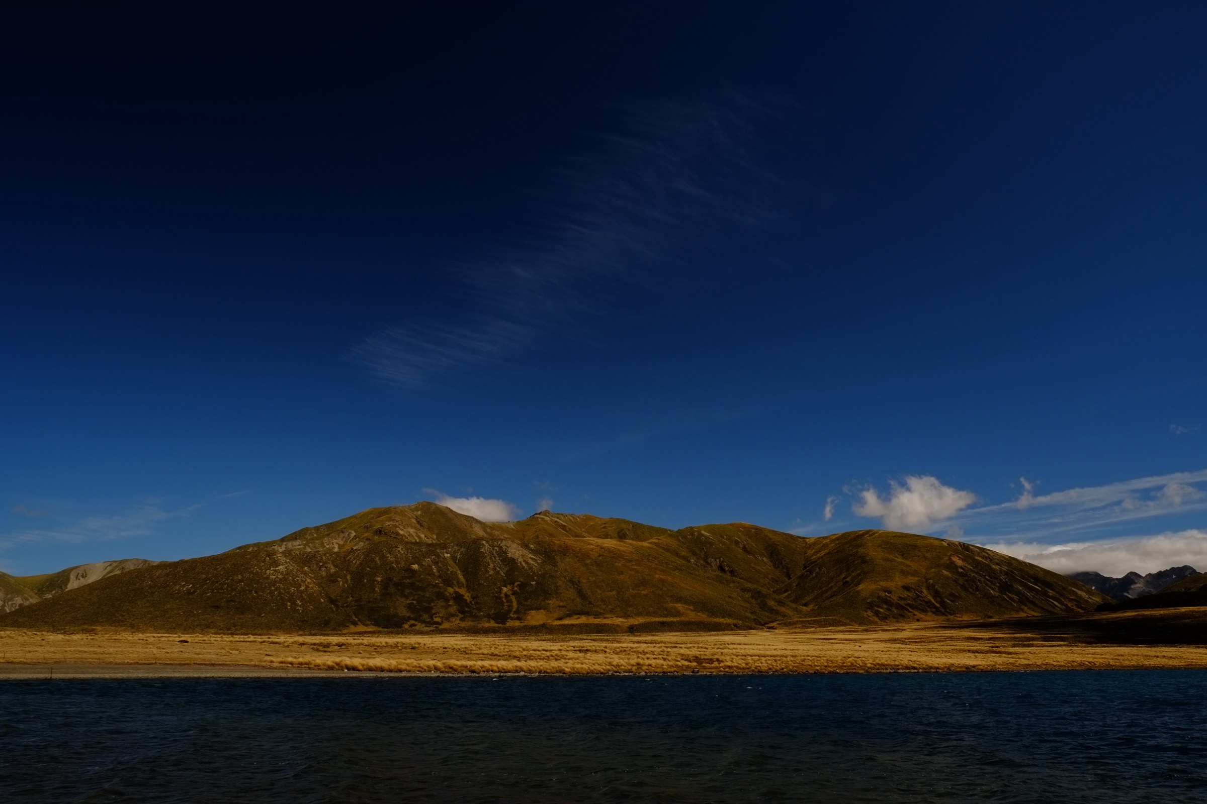
The Spenser Mountains sit at the northern end of the South Island’s main divide, forming the ridge that separates Nelson Lakes National Park from the Lewis Pass / St James country. The Ada Pass area covers the central spine of the range where three catchments converge: the Maruia draining west into Cannibal Gorge and out to the Buller, the Waiau Uwha draining south-east through the St James country toward Boyle Village, and the D’Urville / Sabine draining north into Lake Rotoroa. The landscape is a mix of red and mountain beech forest on the valley walls, broad subalpine grass flats along the Ada and Waiau valleys, and tussock, scree and glacially scoured basins above about 1,300 m. The main range summits stay mostly below 2,300 m and the highest local peaks — Faerie Queene 2,236 m, Gloriana 2,214 m and Mount Una 2,300 m — frame the head of every valley. William Travers named the range and its peaks from Spenser’s The Faerie Queene in the 1860s; the spelling is “Spenser”, not “Spencer”, on LINZ NZTopo50 sheet BT23, in DOC signage and in every other authoritative source.
The principal walking infrastructure is the St James Walkway, DOC’s 66 km subalpine tramping track between Lewis Pass (SH7) and Boyle Village (SH7), commissioned in 1981 as the first purpose-built subalpine walking track in New Zealand. It runs the length of the Ada Pass area: Lewis Pass carpark (863 m) → Cannibal Gorge Hut (890 m) → Ada Pass (1,008 m) and Ada Pass Hut → Christopher Hut → Anne Hut → Anne Saddle (1,136 m) → Boyle Flat Hut → Boyle Village (600 m). Five serviced 14- to 20-bunk huts along the walkway carry firewood, mattresses and non-flush toilets; all require online booking through DOC year-round. The Ada Pass area is also the southern terminus of the Waiau Pass Route, a technical alpine link running north from the walkway over the 1,870 m pass into the head of the D’Urville and thence to Blue Lake and the Sabine — part of Te Araroa.
Best season for standard walking is late November to April, with the highest reliability in January to March. Snow lingers on Ada Pass and the walkway avalanche paths well into December in most years and can return from May onwards. DOC identifies the entire section between Lewis Pass and Christopher Hut as complex avalanche terrain with marked crossings, and its guidance is unambiguous that winter travel here is for experienced parties with avalanche training only. Wasps are common December to April. Weather crosses the range abruptly — the westerly systems that soak the Maruia headwaters can bring gale-force wind and heavy rain to the Ada valley within hours. There is no cellphone coverage on the walkway. Access is by SH7 in a private vehicle from Christchurch (about 2.5 hr to Lewis Pass, 2 hr to Boyle) or by shuttle from St Arnaud, Nelson, Hanmer Springs or Christchurch; there is no scheduled public transport. Hut bookings are administered exclusively via the DOC online booking system.
Two planning nuances matter. First, the whole Ada Pass area (except a narrow strip either side of SH7) lies within the St James Conservation Area or the Lewis Pass Scenic Reserve; all normal DOC rules apply — no dogs, no firearms without a permit, no drones without a permit. Second, only two of the five hikes below are true road-to-road day trips. Hikes 3, 4 and 5 are section walks or hut-based day objectives inside a multi-day trip, and are presented that way. Sibling articles cover the neighbouring country: the Lake Rotoroa, Sabine, Blue Lake and D’Urville headwaters are in the Nelson Lakes Southern Sector entry, and the SH7 lookouts, Nina Valley and Deer Valley approaches on the western side are in the Lewis Pass Sector entry.
Selection rationale
The five selections cover the range of Ada Pass area walking as honestly as possible. Hikes 1 and 2 — Lewis Pass to Cannibal Gorge Hut and Lewis Pass to Ada Pass Hut — are genuine road-return day trips from SH7 and are the standard day-walker introductions to the area. Hikes 3 and 4 are one-day sections of the multi-day St James Walkway and require booked huts at either end; they are included because they deliver the definitive Ada Pass landscape and connect the mountainous core to the Waiau Uwha and Anne catchments, but they are not road-to-road day loops and no attempt is made to pretend otherwise. Hike 5 is Waiau Pass itself — the essential technical objective of the wider area at 1,870 m, the second-highest point on Te Araroa — presented as a day objective from Waiau Hut for parties already inside the mountains rather than a road-return walk. Anyone picking this article up should read the snapshot lines carefully: only Hikes 1 and 2 finish back at a car door.
Summary
| # | Hike | Trailhead | Route type | Distance | Gain | Max elevation | Difficulty |
|---|---|---|---|---|---|---|---|
| 1 | Lewis Pass to Cannibal Gorge Hut | Lewis Pass carpark, SH7 | Out-and-back | 14 km | ~340 m | ~890 m | Easy to moderate |
| 2 | Lewis Pass to Ada Pass Hut via Ada Pass | Lewis Pass carpark, SH7 | Out-and-back | 20 km | ~430 m | 1,008 m | Moderate |
| 3 | Cannibal Gorge Hut to Christopher Hut | Cannibal Gorge Hut | Point-to-point | 13.5 km | ~250 m | 1,008 m | Moderate |
| 4 | Christopher Hut to Anne Hut | Christopher Hut | Point-to-point | 13 km | ~80 m | ~900 m | Moderate |
| 5 | Waiau Pass from Waiau Hut | Waiau Hut | Out-and-back | ~11 km | ~730 m | 1,870 m | Very hard |
1. Lewis Pass to Cannibal Gorge Hut
Snapshot
Itinerary
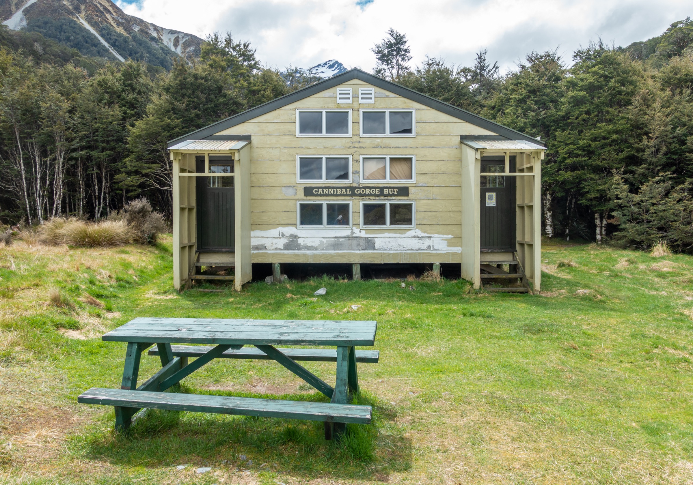
From the St James Walkway carpark on the south side of SH7 at Lewis Pass, boardwalks cross an open subalpine bog past a small tarn used as the “Tarn Nature Walk” viewpoint. The track enters mountain beech forest and descends in a well-graded zig-zag to a suspension bridge across the Right Branch of the Maruia River, at the mouth of Cannibal Gorge (Kōpī o Kaitangata). On the true right (north) bank the track undulates through mature red and mountain beech for approximately 6 km, gaining height gradually with intermittent glimpses of the gorge below and the Spenser Mountains ahead. Several small side streams are bridged. Approximately 500 m before the hut, a second bridge takes the track over the Maruia and out onto an open grassy meadow where Cannibal Gorge Hut (20 bunks, wood stove, serviced) is signposted. Return is by the same route.
Why it is essential
The Lewis Pass to Cannibal Gorge Hut walk is the most-listed day tramp in the Ada Pass area and the standard introduction to the St James Walkway. It is the only fully bridged, road-to-hut walking-track-grade day trip in the area, and the Cannibal Gorge name carries strong cultural weight — Kōpī o Kaitangata is documented as a Māori place-name of significance from historical trans-alpine travel in the Maruia. The hut itself is one of the most photographed on the walkway and the meadow surroundings give one of the classic Spenser Mountains amphitheatre views.
Equipment
- Hiking boots or sturdy trail shoes
- Weatherproof shell — Lewis Pass weather is notoriously changeable
- Warm layer and hat
- 1.5–2 L water; the Maruia and side streams are drinkable when treated
- NZTopo50 map (BT23 Cannibal Gorge) or GPS backup
- Sun protection
- Insect repellent for wasps December to April
- Hut booking and sleeping kit if overnighting
Hazards and notes
- Avalanche. DOC identifies the section between Lewis Pass and Christopher Hut as complex avalanche terrain; paths are marked. Do not attempt in winter or spring without avalanche training and equipment. Check the NZ Avalanche Advisory before entering May to October.
- River level. The Maruia can rise rapidly after heavy rain; the two swing bridges are the only crossings but boots may still get wet on the meadow approach.
- Wasps. Common on beech honeydew December to April; the Cannibal Gorge section is a documented wasp corridor.
- Vehicle break-ins. DOC notes theft from the Lewis Pass carpark. Do not leave valuables in the vehicle.
- Weather. Lewis Pass sits at the head of a heavy-rainfall corridor. Snow is possible any month; below-zero temperatures are common outside midsummer.
- Booking. Cannibal Gorge Hut requires a booking for any overnight stay. Day-use of the hut interior for lunch or shelter is unrestricted.
2. Lewis Pass to Ada Pass Hut via Ada Pass
Snapshot
Itinerary
The route follows Hike 1 to Cannibal Gorge Hut (7 km, ~3.5 h). From the hut the track continues past the meadow and enters open subalpine flats, following the Maruia Right Branch through beech forest interspersed with tussock. This section crosses several signposted avalanche paths. The gradient stays gentle: over the next 3 km the track climbs approximately 100 m to reach Ada Pass at 1,008 m — a broad, forested saddle barely discernible in the field, though it is the recognised watershed between the Maruia (Buller) system and the Ada / Waiau (Waiau Uwha) system. Ada Pass Hut (14 bunks, wood stove) sits just past the pass on the eastern side at approximately 990 m, on the edge of an open grass flat looking north-east to Three Tarns Pass and the Spenser Mountains headwaters. Return is by the same route.
Why it is essential
Ada Pass gives its name to the entire area covered by this catalogue and marks the geographical and hydrological centre of the Spenser district. Reaching the pass and the hut on a day trip from Lewis Pass is the essential experience of the middle third of the St James Walkway without committing to a multi-day tramp. The view from the meadow above Ada Pass Hut across to the Faerie Queene and Gloriana wall is the archetypal Ada Pass panorama photographed for DOC brochures. The hut is also the base for the technical Three Tarns Pass side objective into the Matakitaki (unmarked route, mountain-tramping grade) and for the Waiau Pass approach covered in Hike 5.
Equipment
- Sturdy boots
- Full weatherproof shell and warm insulation layer
- Hat and gloves outside midsummer
- 2 L water minimum; streams frequent (filter or treat)
- NZTopo50 map (BT23) and GPS
- Headtorch — the return leg may run into dusk in shoulder season
- PLB recommended; no cell coverage
- Trekking poles helpful for the sustained walking
- Hut booking and sleeping kit if overnighting
Hazards and notes
- Avalanche. DOC explicitly flags this section as crossing avalanche paths. In winter and spring, avalanches between the Cannibal Gorge bridge and Ada Pass Hut are documented; consult the NZ Avalanche Advisory before entering May to October.
- Weather. The Maruia headwaters catch the leading edge of westerly systems from the Tasman coast; conditions can deteriorate from clear to sustained rain and snow within hours. Snow is possible any month.
- Distance. At ~20 km return, the day is longer than most walkers expect. Start early; in shoulder season, plan for shortening daylight.
- Wasps December to April, particularly on the Cannibal Gorge and Ada River sections.
- Bookings. Both Cannibal Gorge Hut and Ada Pass Hut require online bookings for any overnight stay.
- Wild horses. The upper Ada valley holds a herd descended from St James Station stock, occasionally seen from the walkway. Do not approach.
3. Cannibal Gorge Hut to Christopher Hut
Snapshot
Itinerary
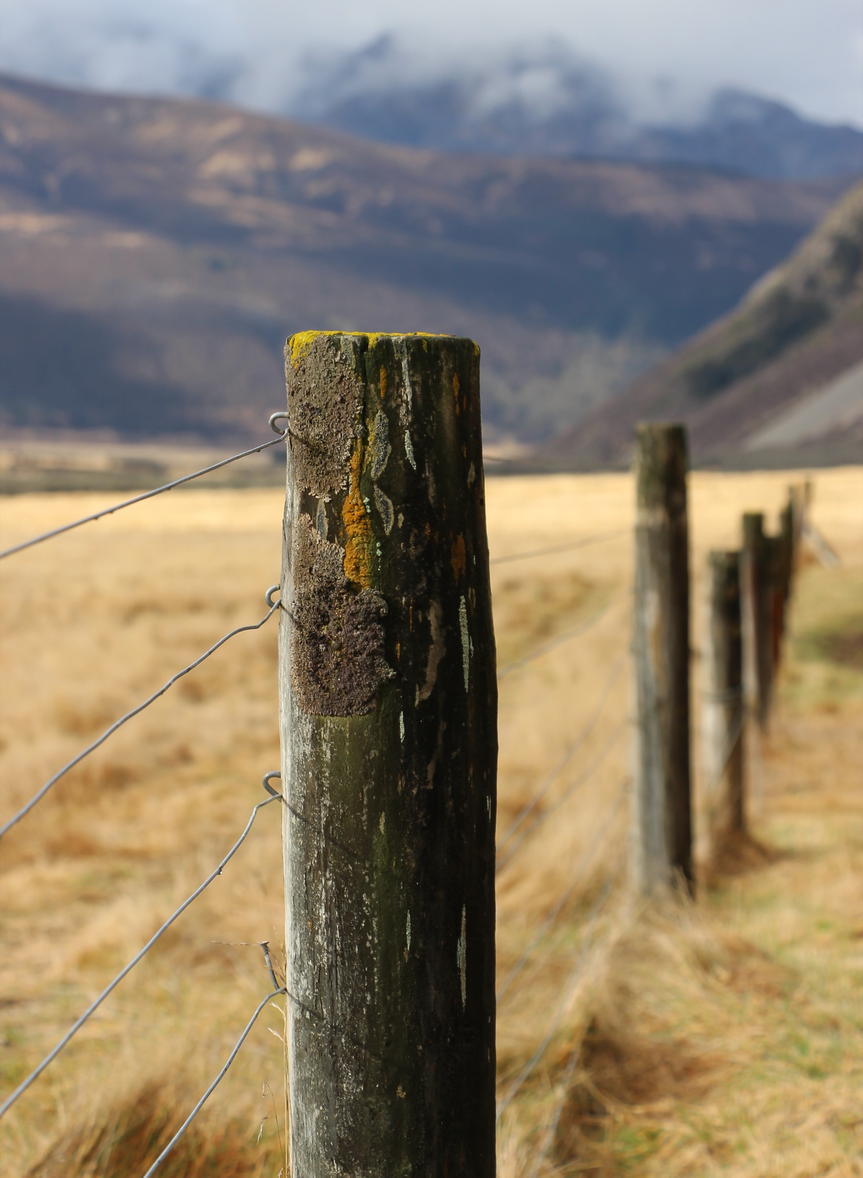
From Cannibal Gorge Hut the walkway follows the Maruia Right Branch upstream through beech forest and periodic subalpine grassy flats, crossing several signposted avalanche paths. Ada Pass Hut is reached in about 30 minutes at approximately 990 m. From the hut the track continues over the Ada Pass saddle (1,008 m) — a low, forested watershed marked by a small change in creek flow direction — and drops onto the true right of the Ada River, now flowing east then south-east. For roughly 7 km the walkway follows the Ada down through open grassy flats with occasional beech patches, framed on the northern side by the main Spenser Mountains crest: Faerie Queene, Gloriana and Mount Una loom over the valley. Approximately 10 km from Ada Pass Hut the historic Christopher (Ada) Cullers Hut (1956, four-bunk basic) is passed near the Christopher / Ada confluence. Christopher Hut (14 bunks, serviced) sits 10 to 15 minutes further, at the edge of the beech forest and roughly 350 m from the Ada River. Guidebooks universally rate this section the visual high point of the walkway.
Why it is essential
This is the middle day of the St James Walkway and the section that delivers the definitive Ada Pass landscape: broad tussock flats with the Spenser Mountains as backdrop, the Ada River winding through, and a pass crossing more symbolic than physical. For walkers doing the walkway in either direction, this is the day rated highest for scenic value. As a one-day section it is within the reach of a moderately fit walker with an early start and a booked bed at each end — but it is not a road-to-road day trip and requires the multi-hut chain to be set up in advance.
Equipment
- Sturdy boots
- Weatherproof shell, warm layer
- Hat and gloves outside midsummer
- Sleeping bag and hut booking confirmations for both huts
- Food for 24 h plus reserve
- Stove and fuel (some huts have wood but not always)
- Water bottle; streams frequent
- NZTopo50 map (BT23), GPS
- Headtorch, PLB
- Insect repellent for wasps December to April
Hazards and notes
- Avalanche paths cross the section between Cannibal Gorge Hut and Ada Pass Hut in winter and spring; consult the NZ Avalanche Advisory before entering May to October.
- River rise. The Ada River can rise quickly in prolonged rain. The walkway does not require unbridged crossings on this section but side streams and drainage can become significant.
- Wasps heavy on beech honeydew December to April.
- Weather. The Ada valley is open and exposed above Ada Pass Hut; wind and rain can be sustained.
- Wild horses. As with Hike 2, the upper Ada herd may be encountered.
- Multi-day booking chain. Both huts at either end require separate DOC bookings.
4. Christopher Hut to Anne Hut
Snapshot
Itinerary
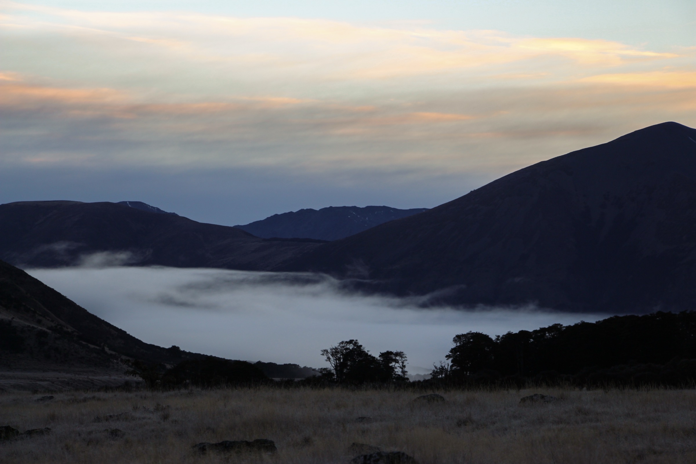
From Christopher Hut the walkway leaves the bush edge onto the open grassy flats of the lower Ada River, following the true right bank downstream. About 1.5 km above the historic Ada homestead site the open flats converge with the toe of the hill; the track skirts the eastern slopes of Mount Federation and enters the historic St James run country. The route crosses grassy flats and matagouri thickets, then reaches the confluence of the Ada River and the Waiau Uwha, where the walkway meets the Waiau Valley Track junction (the Waiau Pass Route and Te Araroa continue upstream on the true left — the way to Waiau Hut and Hike 5). The walkway takes the right-hand turn onto a formed 4WD track. A swing bridge crosses the Henry River (a Waiau tributary) and the track climbs a modest ~30 m up onto the grassy terrace on which Anne Hut (20 bunks, built 2011) sits, in an exposed position with distant views south to Anne Saddle and the Boyle catchment.
Why it is essential
This section links the mountainous core of the Ada Pass area with the Waiau Uwha valley and the historic St James Station country. It passes the site of the 1879–1896 Ada homestead — a physical remnant of the Canterbury high-country pastoral era — and the Waiau Uwha / Ada confluence, which is the geographical hinge of the whole St James Conservation Area. Anne Hut is one of the most-photographed huts on the walkway. For walkers not doing the full traverse, this is the one-day section that connects the Ada Pass area to the more southern Anne and Boyle catchments covered by the Lewis Pass Sector sibling article.
Equipment
- Sturdy boots
- Full weatherproof shell and warm layer — the Anne Hut terrace is fully exposed
- Hat and gloves outside midsummer
- Sleeping bag, hut booking confirmations
- Food for 24 h plus reserve
- Stove and fuel
- Water bottle; Ada, Henry and side streams available
- NZTopo50 map (BT23), GPS
- Headtorch, PLB
Hazards and notes
- Exposure. The Anne Hut terrace and the Ada flats above are fully exposed to wind and weather; DOC and Wilderness both note gale-force westerlies at Anne Hut are common.
- River crossings. All main crossings are bridged. Side streams may require care in rain.
- Wasps and weather as above.
- Bookings required for Anne Hut and either Christopher Hut or the subsequent Anne and Boyle Flat huts.
- Firearms and dogs are prohibited in St James Conservation Area without a permit; check DOC before travelling.
- Section walk only. This is not a road-to-road day trip. It must be planned as part of a two- or three-hut sequence.
- Elevation gain figure. The ~80 m gain is a topographic estimate and is not stated by DOC; walkers focused on total ascent should cross-check against an OSM elevation profile.
5. Waiau Pass from Waiau Hut
Snapshot
Itinerary
From Waiau Hut on the true right of the Waiau Uwha, the Waiau Pass Route follows the river bed and tussock terraces upstream (north-north-west). The route is poled through the valley but the poles are widely spaced; navigation on the valley floor is straightforward in fine weather. The valley narrows and steepens over about 4 km, with the pass first visible as a steep rock-and-scree cleft at the head of the true right cirque. The final 1.5 km climbs approximately 530 m: initially through tussock benches, then a sustained steep scree slope with a diagonal traverse described in trip reports as “the slash”, ending on a small notched saddle at 1,870 m. Views from the pass extend south to the head of the Waiau and the Spenser main range, and (weather permitting) north to Lake Constance and the head of the Sabine — the Nelson Lakes catchment covered in the Nelson Lakes Southern Sector sibling. On a partial-section day trip, descent is by the same route: this avoids the technical descent down the north side toward Lake Constance, which is graded harder still (backward downclimbing on slabby rock, exposed bluff sidles above the lake, and where a fatal fall was recorded in 2013).
Why it is essential
Waiau Pass is the essential technical objective of the Spenser Mountains and one of the classic alpine passes of the northern South Island. It is the second-highest point on the entire 3,000 km Te Araroa Trail. It is included here as a day objective for parties already at Waiau Hut on a multi-day tramp, rather than as a road-to-road day walk; it is not accessible as a genuine day trip from any road end in the Ada Pass area. The pass forms the visual and hydrological hinge between this area and the Nelson Lakes Southern Sector.
Equipment
- Sturdy boots
- Full weatherproof shell and warm insulation even in midsummer — pass altitude keeps temperatures near freezing in strong wind
- Hat, gloves and warm base layer
- Ice axe and crampons if any snow is visible on the pass (common until mid-December and again from May)
- Helmet strongly recommended for rockfall on the scree
- PLB mandatory — no cell coverage; remote
- NZTopo50 maps (BT22 and BS22), compass, GPS
- Additional food and reserves — DOC advises carrying several days’ extra food because trampers are commonly delayed at Blue Lake Hut waiting for conditions to cross
- Hut bookings for Waiau Hut and, if attempting the full crossing, Blue Lake Hut
Hazards and notes
- Snow and ice year-round. DOC and Te Araroa both note hard icy snow can remain on the pass approaches into December and can return any month. Ice axe and crampons are required if any snow is present.
- Avalanche. The southern face of the pass is documented avalanche terrain May to December.
- Rockfall. The scree slope above the pass is unstable; multiple parties above each other significantly raises the risk.
- Weather sensitivity. Fair-weather route only. DOC and Wilderness Magazine both stress consulting weather forecasts and turning back at the first sign of deterioration.
- Documented fatality. A tramper died in 2013 in a fall from the Lake Constance (north) side of the pass. Hike 5 as presented here does not include the north-side descent, but parties attempting the full crossing must be aware of the additional risk.
- Remote. Nearest cellphone coverage is more than 25 km away. Nearest road is more than 30 km. Rescue times will be measured in days.
- Not a road-to-road day walk. All access to Waiau Hut requires a prior full-day walk-in from either the St James Walkway junction (via Anne Hut / Christopher Hut) or from Blue Lake Hut on the Nelson Lakes side.
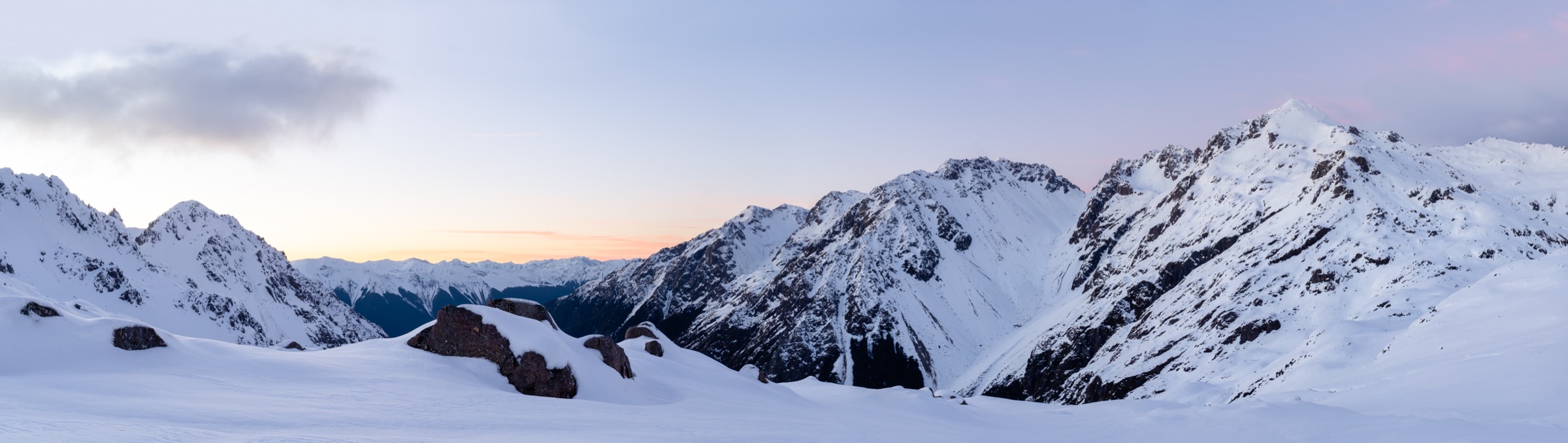
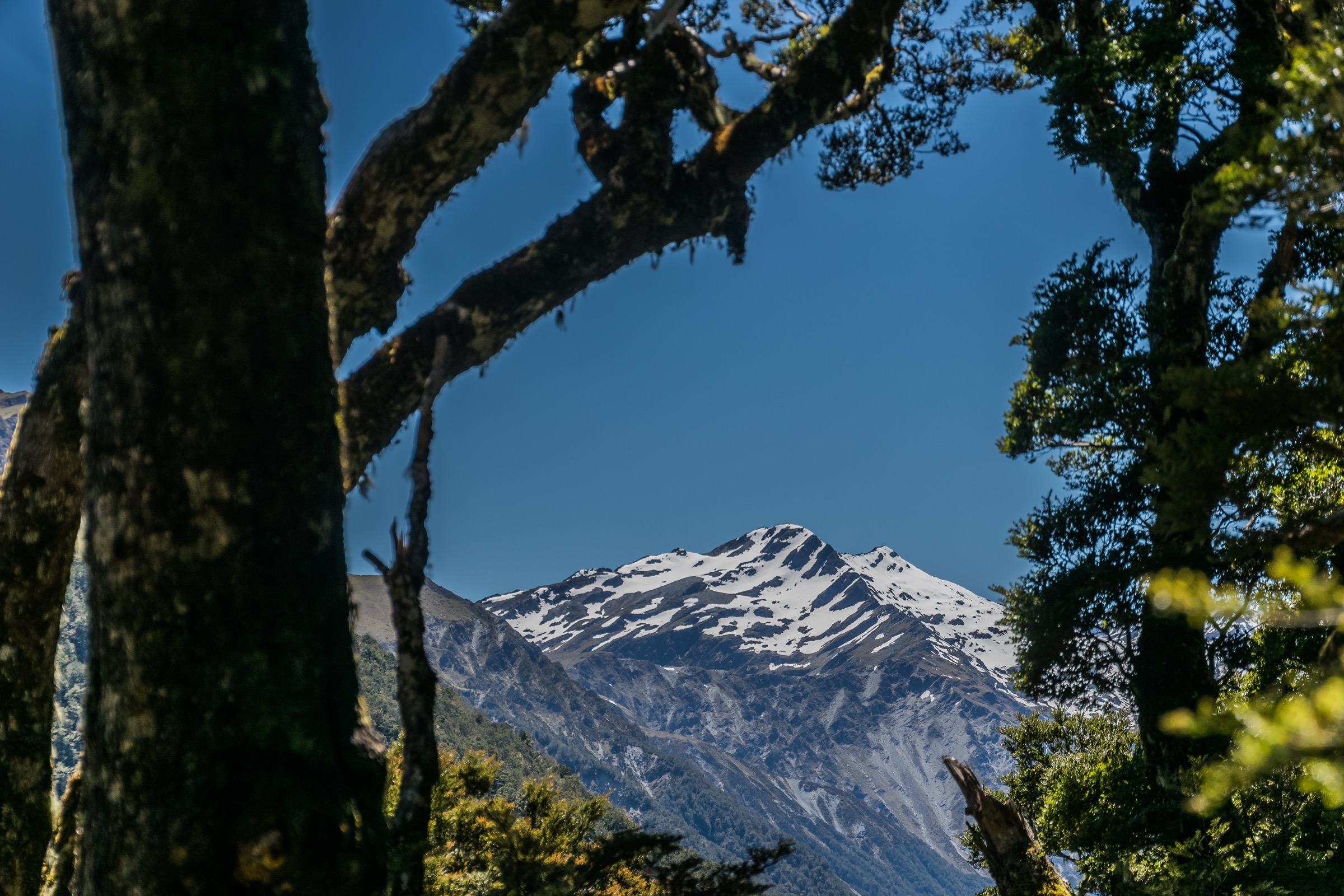
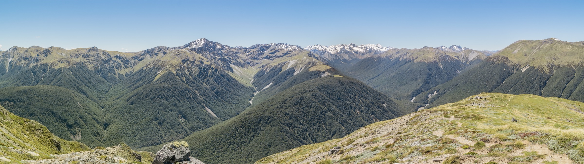
- Photograph. No licence-compatible photograph of Waiau Pass itself or its scree approach was located in this pass; the figure above shows the summit crest into which the pass cuts, from Lewis Tops, and is the closest available substitute.
Further reading
| Resource | Link |
|---|---|
| DOC — St James Walkway | doc.govt.nz |
| DOC — Cannibal Gorge Hut | doc.govt.nz |
| DOC — Ada Pass Hut | doc.govt.nz |
| DOC — Christopher Hut | doc.govt.nz |
| DOC — Anne Hut | doc.govt.nz |
| DOC — Waiau Hut | doc.govt.nz |
| DOC — Waiau Pass Route | doc.govt.nz |
| DOC — St James Conservation Area brochure (PDF) | doc.govt.nz |
| Wilderness Magazine — St James Walkway feature (PDF) | wildernessmag.co.nz |
| Wilderness Magazine — Cannibal Gorge Hut | wildernessmag.co.nz |
| Wilderness Magazine — How scary is Waiau Pass? | wildernessmag.co.nz |
| Nelson Trails — St James Walkway | nelsontrails.co.nz |
| Herenga ā Nuku Aotearoa — Waiau Pass Track | herengaanuku.govt.nz |
| Te Araroa Trust — Trail maps | teararoa.org.nz |
| Plan My Walk — NZ Mountain Safety Council | planmywalk.nz |
| NZ Avalanche Advisory | avalanche.net.nz |
| MetService — Canterbury forecast | metservice.com |
| Wikipedia — St James Walkway | en.wikipedia.org |
| Wikipedia — Spenser Mountains | en.wikipedia.org |
| Wikimedia Commons — St James Walkway category | commons.wikimedia.org |