Regional overview
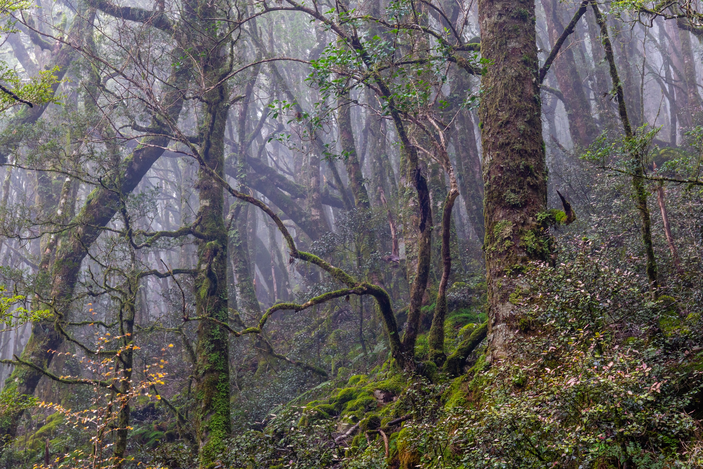
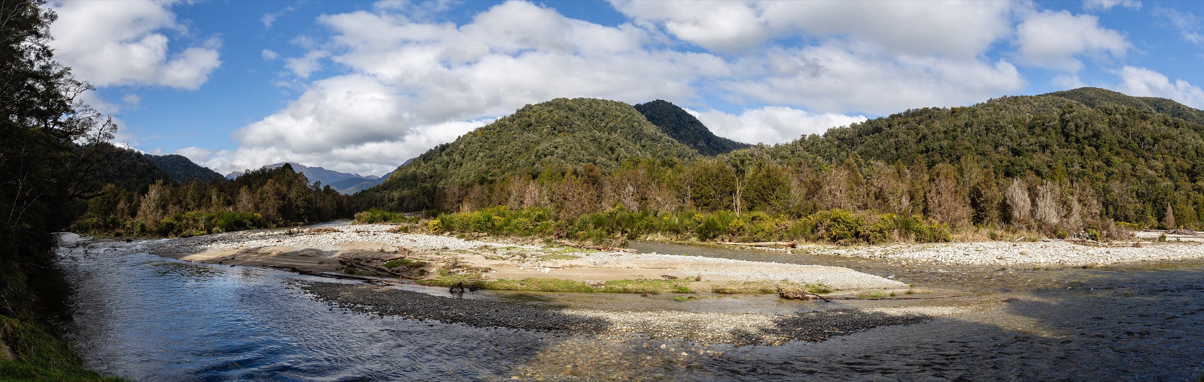
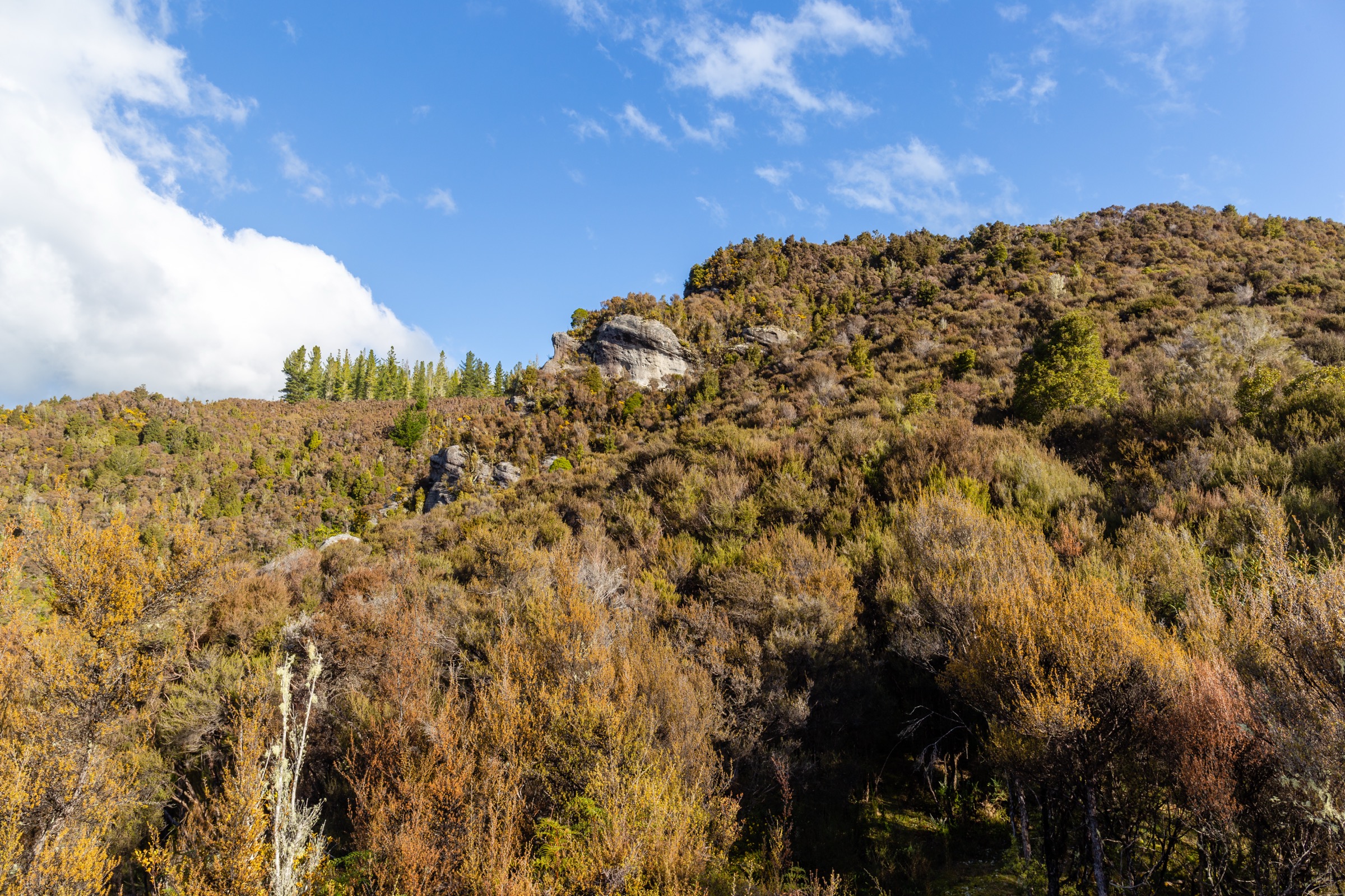
The southern Victoria Range is reached almost entirely from Rahu Saddle on State Highway 7 east of Reefton, where four DOC-listed routes leave the road on the way to the range tops. The character here is West Coast backcountry at compact scale: beech forest, rough valley routes, granite bluffs, tarn basins, and short but demanding climbs onto open ridges above the bushline. DOC’s Reefton Walks brochure is explicit that these are tramping routes rather than manicured walking tracks, that streams rise quickly, that visibility on the tops changes fast, and that wasps are common through December–April.
The five routes below all begin from the Rahu Saddle side. Mt Haast is the sector’s summit objective at 1,587 m. Lake Stream leads into a two-tarn clearing and a basic hut, with an unmarked extension to a saddle above the bushline. Duffy Creek works into an ephemeral-lake basin under granite cliffs. Klondyke Valley is the direct valley route into a tussock basin ringed by granite bluffs. Klondyke Spur climbs the ridge on the opposite side of the same catchment, with expert-only descent options into the valley below. Access is by private vehicle only — no scheduled public transport reaches the Rahu Saddle trailheads.
Selection rationale
Four of these five routes are the Rahu Saddle cluster named in DOC’s brochure; the fifth pairs the two Klondyke lines so that the ridge and valley approaches are covered in the same set. Mt Haast anchors the tops. Lake Stream covers the sector’s lake-and-pass character. Duffy Creek captures the ephemeral-lake and granite-cliff landscape at short scale. Klondyke Valley provides the tussock-basin approach and Klondyke Spur the balcony ridge above it — DOC explicitly warns against attempting a low sidle between them, so the spur is included as a stand-alone objective. Longer expert traverses beyond these day-sized turnarounds sit outside this entry.
Summary
| # | Hike | Trailhead | Route type | Distance | Gain | Max elevation | Difficulty |
|---|---|---|---|---|---|---|---|
| 1 | Mt Haast Route | Rahu Saddle (SH7) | Out-and-back | ~5 km return | ~911 m | 1,587 m | Hard |
| 2 | Lake Stream Route | Rahu Saddle (SH7) | Out-and-back to hut | 7.2 km one way | ~503 m | Unresolved | Hard |
| 3 | Duffy Creek Route | Rahu Saddle (SH7) | Out-and-back | DOC: 4.4 km return | ~575 m (variant) | Unresolved | Hard |
| 4 | Klondyke Valley Route | Rahu Saddle (SH7) | Out-and-back | 4.5 km one way | ~635 m | Unresolved | Hard |
| 5 | Klondyke Spur Route | Rahu Saddle (SH7) | Out-and-back ridge | 2 km one way | ~594 m | Unresolved | Hard |
Before you go
Permits and access
All five routes lie inside Victoria Forest Park, managed by DOC. No permits are required for day walking. Lake Stream Hut is a basic two-bunk backcountry hut on the Lake Stream route; day walkers do not need to book but should still check current DOC alerts. Access is by private vehicle to the Rahu Saddle trailheads on SH7 between Reefton and Springs Junction — no scheduled public transport serves the trailheads, and mobile coverage is limited to absent through Victoria Forest Park.
Standard Rahu Saddle day-hiking kit
- Sturdy tramping boots with grip, waterproof and windproof shell, warm insulating layer, hat and gloves.
- Map and compass with GPS backup; personal locator beacon because cell coverage is unreliable.
- Food, water and treatment for a full day, plus reserve gear in case of a delayed return.
- Sun protection, headtorch, first aid.
- Wasp protection for December–April, especially through the beech-forest sections.
- Poles are useful on the steeper spur and summit ground.
Common hazards
- Sudden weather change: DOC warns that visibility, wind, and precipitation can shift quickly across the Rahu Saddle tops.
- Rising streams: rain-swollen streams close the valley routes and can trap parties above the fords.
- Steep and exposed terrain: the Mt Haast ridge, Klondyke Spur, and the granite bluffs above Klondyke Valley are all unforgiving in poor visibility.
- Route-finding: several of these are tramping routes rather than benched tracks, and DOC specifically warns against low sidles between the Klondyke Spur and the valley below.
- Snow and ice on the upper Mt Haast ridge into late spring; microspikes may be useful in shoulder seasons.
1. Mt Haast Route
Snapshot
Itinerary
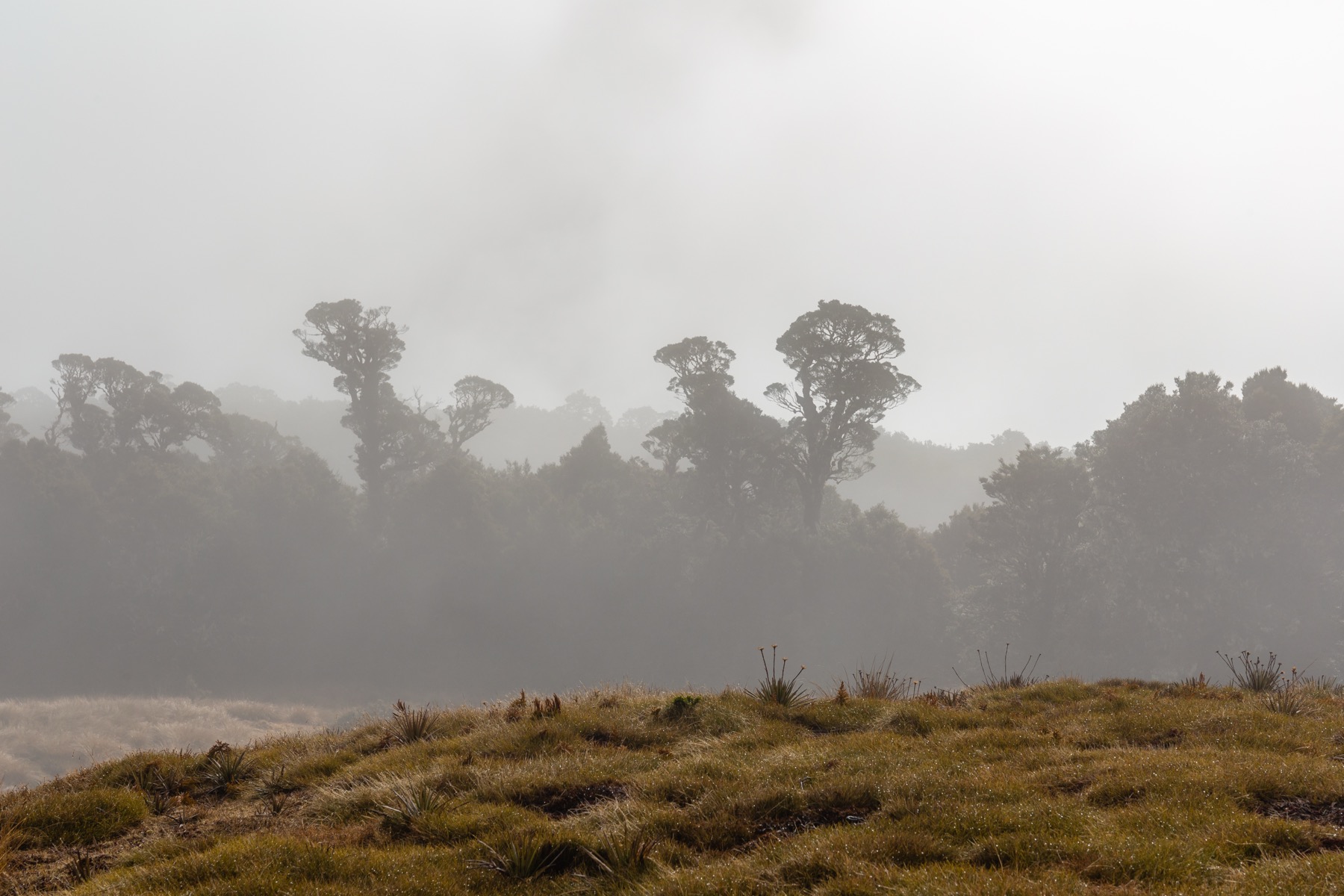
From Rahu Saddle on SH7, climb through beech forest to the bushline — DOC gives roughly two hours to the bushline — then follow the right-hand ridge for another hour to the 1,587 m Mt Haast summit. The views open across glacial valleys to the Main Divide. Return by the same line.
Why it is essential
Mt Haast is the most explicit summit objective in the Rahu Saddle cluster and the best verified high viewpoint on the southern side of the Victoria Range.
Hazards and notes
- Rapid weather change and exposed tops; visibility on the upper ridge can shut down without warning.
- The right-hand ridge is the correct line — poor route choice higher up leads to steep ground.
- Wet roots and rough travel through the forest section; the 5 km return figure understates the commitment.
GPX / KML links
| Source | URL | Format | Notes |
|---|---|---|---|
| DOC Victoria Forest Park | doc.govt.nz | Official park page | DOC website terms; no GPX found |
| DOC Reefton walks brochure | doc.govt.nz PDF | Official brochure | DOC website terms |
| AllTrails cross-check | alltrails.com | Third-party map | Do not redistribute AllTrails GPX without licence confirmation |
Further reading
2. Lake Stream Route
Snapshot
Itinerary
Follow the rough Lake Stream track from the Rahu Saddle side down through beech forest and stream terrain to a clearing with two tarns and the basic two-bunk Lake Stream Hut. DOC notes an unmarked continuation of about 45 minutes to the bushline and another 45 minutes to a saddle with views into the Maruia valley. Turn around at the hut, at the bushline, or at the saddle depending on conditions and time in hand.
Why it is essential
Lake Stream is the clearest lake, tarn, and pass objective in the southern Victoria Range set — an authentic backcountry day into the range’s interior with a hut on the return line if the weather closes in.
Hazards and notes
- Rough track and slow travel through wet bush.
- The continuation above the hut is unmarked; carry map, compass, and GPS.
- Stream conditions can worsen quickly after rain; the tarn basin holds cold air.
- Consider an overnight kit if you plan to push to the saddle.
GPX / KML links
| Source | URL | Format | Notes |
|---|---|---|---|
| DOC Lake Stream Route | doc.govt.nz | Official route page | DOC website terms; no GPX found |
| DOC Reefton walks brochure | doc.govt.nz PDF | Official brochure | DOC website terms |
| AllTrails cross-check | alltrails.com | Third-party map | Do not redistribute AllTrails GPX without licence confirmation |
Further reading
3. Duffy Creek Route
Snapshot
Itinerary
From Rahu Saddle, the Duffy Creek route works up the creek to a large ephemeral lake with views of the granite cliffs at the head of the valley. Return by the same line. Treat the AllTrails 10.6 km line as a variant or extension rather than the official DOC route.
Why it is essential
A short but distinctive granite-cliff and ephemeral-lake objective, representative of the wilder valley character of the southern Victoria Range and the shortest of the four Rahu Saddle DOC lines.
Hazards and notes
- Distance conflict: DOC’s 4.4 km return and AllTrails’ 10.6 km variant do not match — the DOC figure is the official short route; treat any longer line as an experienced-tramper extension.
- Rough, less-used route with likely creek crossings and washouts after rain.
- Wet terrain and slippery rock around the granite; visibility can make the head of the valley hard to read.
GPX / KML links
| Source | URL | Format | Notes |
|---|---|---|---|
| DOC Duffy Creek Route | doc.govt.nz | Official route page | DOC website terms; no GPX found |
| DOC Reefton walks brochure | doc.govt.nz PDF | Official brochure | DOC website terms |
| AllTrails cross-check | alltrails.com | Third-party map | Longer mapped variant; do not redistribute AllTrails GPX without licence confirmation |
Further reading
4. Klondyke Valley Route
Snapshot
Itinerary
The right-hand valley route follows the Klondyke drainage to a tussock basin enclosed by steep granite cliffs. The valley floor is the most direct Rahu Saddle line into open basin scenery below the range tops. Return by the same route, or combine with the Klondyke Spur only if you are prepared for expert route-finding on the connecting ground.
Why it is essential
The most direct Rahu Saddle route into open tussock-basin scenery below the range tops — a distinct experience from Mt Haast’s ridge climb or the Lake Stream tarns.
Hazards and notes
- Granite bluffs ring the head of the basin; avoid attempting to force a line onto the spur above except via the marked route.
- Rain-swollen streams and slow travel through wet valley floor after rain.
- DOC specifically warns against a low sidle between the valley and the spur — the correct link, if you attempt it, is over the ridge, not across the bluffs.
GPX / KML links
| Source | URL | Format | Notes |
|---|---|---|---|
| DOC Klondyke Valley Track | doc.govt.nz | Official route page | DOC website terms; no GPX found |
| DOC Reefton walks brochure | doc.govt.nz PDF | Official brochure | DOC website terms |
| AllTrails cross-check | alltrails.com | Third-party map | Do not redistribute AllTrails GPX without licence confirmation |
Further reading
5. Klondyke Spur Route
Snapshot
Itinerary
The left-hand spur climbs steeply from Rahu Saddle above the bushline onto a ridge with strong views across the Victoria Range. Turn around at the ridge. Only experienced trampers should attempt the continuation along the spur and the drop into the right branch of the Rahu River to join the valley route.
Why it is essential
The best verified balcony-ridge option from Rahu Saddle — a shorter, steeper counterpart to Mt Haast that trades summit for range views in about half the time.
Hazards and notes
- Steep ground and exposed tops; avoid in cloud, high wind, snow, or rain.
- DOC explicitly warns against taking a low sidle off the spur — dangerous bluffs sit below the ridge line.
- The valley-linking option is expert-only and should not be attempted without prior knowledge of the ground.
GPX / KML links
| Source | URL | Format | Notes |
|---|---|---|---|
| DOC Klondyke Valley Track (spur described here) | doc.govt.nz | Official route page | DOC website terms; no GPX found |
| DOC Reefton walks brochure | doc.govt.nz PDF | Official brochure | DOC website terms |
| AllTrails (Rahu Spur Track) | alltrails.com | Third-party map | Do not redistribute AllTrails GPX without licence confirmation |
Further reading
Verification notes
- All five routes are verified in DOC’s Reefton Walks brochure; Lake Stream, Duffy Creek and Klondyke Valley also have individual DOC route pages.
- Elevation gain figures are secondary — AllTrails — for every route; DOC publishes little vertical data for this sector.
- Duffy Creek shows a DOC / AllTrails distance conflict: DOC’s 4.4 km return is the official short route, and the AllTrails 10.6 km line is treated as a longer variant.
- Klondyke Valley and Klondyke Spur are described on the same DOC page as the right- and left-hand branches of the Klondyke route; DOC’s explicit warning against a low sidle between them is retained here.
- Kirwans Track, sometimes associated with the wider Victoria Forest Park, sits on the northern side of the range and is covered in the Northern Victoria Range entry rather than here.
- No official GPX / KML files were found for any of the five routes.
Further reading
| Source | URL |
|---|---|
| DOC Victoria Forest Park | doc.govt.nz |
| DOC Reefton walks brochure (PDF) | doc.govt.nz PDF |
| DOC Lake Stream Route | doc.govt.nz |
| DOC Duffy Creek Route | doc.govt.nz |
| DOC Klondyke Valley Track | doc.govt.nz |
| Storm — Northern Victoria Range | storm.ski article |
| Storm — Central Victoria Range | storm.ski article |
| Wikipedia — Victoria Forest Park | en.wikipedia.org |
| Wikipedia — Reefton | en.wikipedia.org |