Regional overview
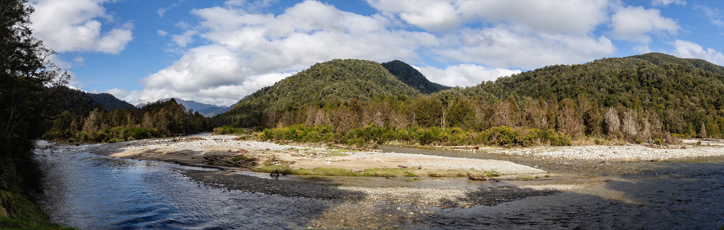
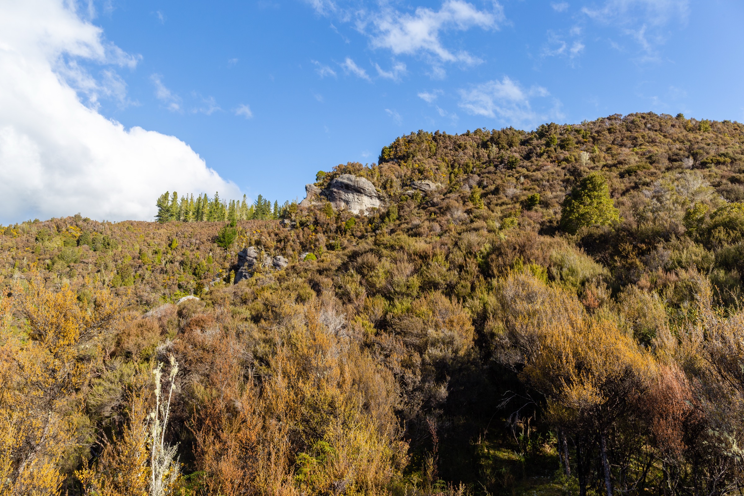
The central Victoria Range around Waiuta, Big River, Blacks Point and Murray Creek is one of New Zealand’s strongest walking landscapes for gold-mining heritage. Sitting inside Victoria Forest Park east and south of Reefton, the terrain here is not primarily about summits — it is about pack tracks, tramways, water races, hut access, battery sites, old shafts and town remains threaded through wet West Coast beech and podocarp forest. The day-walk essential-value of the region is the ability to walk a coherent historic mining landscape rather than to reach a specific peak.
Access clusters around three corridors. Waiuta on the eastern side gives the township walk, Snowy Battery, and the western end of the Waiuta–Big River pack route. Big River on the far side of that pack route holds a DOC hut, the Big River battery remains and the walk out to Golden Lead Battery. Blacks Point on the SH7 side of Reefton is the trailhead for the Murray Creek loop. DOC’s Reefton Walks brochure is the primary route source for all of these; secondary AllTrails records were used only where they clearly matched named tracks and added elevation context.
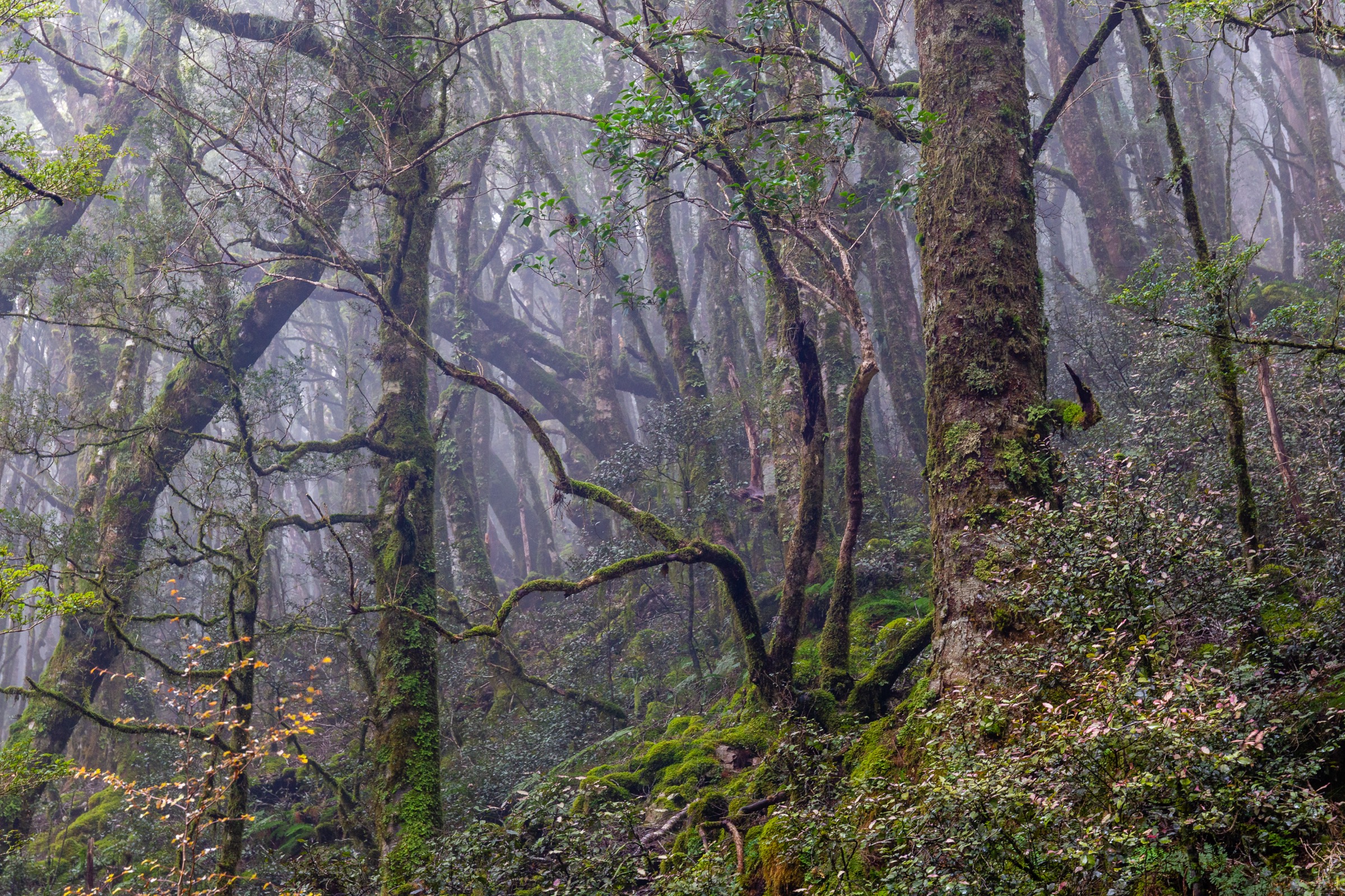
The walking character is West Coast forest, not alpine. Expect mud, wet roots, unbridged stream crossings, and the ever-present rain of Reefton’s rainshadow. Old mine workings mean stay on marked routes near relics and shafts — the ground can be undermined or capped and the timber structures are unstable. Public transport does not run to any of the trailheads; access is by private vehicle from Reefton, itself served by the SH7 corridor between Christchurch and Westport.
Best season is broadly year-round for the shorter Waiuta and Murray Creek walks in settled weather. The longer Waiuta–Big River pack route and the Big River to Golden Lead walk need dry ground and low streams to be comfortable and safe day objectives. Winter adds cold and short daylight; heavy West Coast rain can close streams and turn tracks into channels at any time of year.
Selection rationale
Five day-scale routes are presented across the central Victoria Range. The Waiuta Town Walk anchors the eastern end with the region’s defining heritage site; the Snowy Battery Track links the township to its industrial infrastructure at short walking scale; the Waiuta to Big River Track is the classic point-to-point pack route between the two goldfields; the Big River to Golden Lead Battery walk extends the mining catalogue into deeper forest on the far side; and the Murray Creek Track is the moderate day-loop from Blacks Point that complements the Waiuta point-to-points with a self-contained circuit. Longer through-trips beyond Big River, and any excursion into unstable relic ground, sit outside this day-hike entry.
Summary
| # | Hike | Trailhead | Route type | Distance | Gain | Max elevation | Difficulty |
|---|---|---|---|---|---|---|---|
| 1 | Waiuta Town Walk | Waiuta historic township | Loop | ~2 km | Unresolved | Unresolved | Easy |
| 2 | Snowy Battery Track | Waiuta | Out-and-back | 1–4.2 km | 191 m | Unresolved | Easy–Moderate |
| 3 | Waiuta to Big River Track | Waiuta | Point-to-point | 10.7–13.2 km | 620 m | Unresolved | Hard |
| 4 | Big River to Golden Lead Battery | Big River Hut | Out-and-back | 12.6–14 km | 476 m | Unresolved | Moderate–Hard |
| 5 | Murray Creek Track | Blacks Point | Loop | 9.7–10.9 km | 623 m | Unresolved | Moderate |
1. Waiuta Town Walk
Snapshot
Itinerary
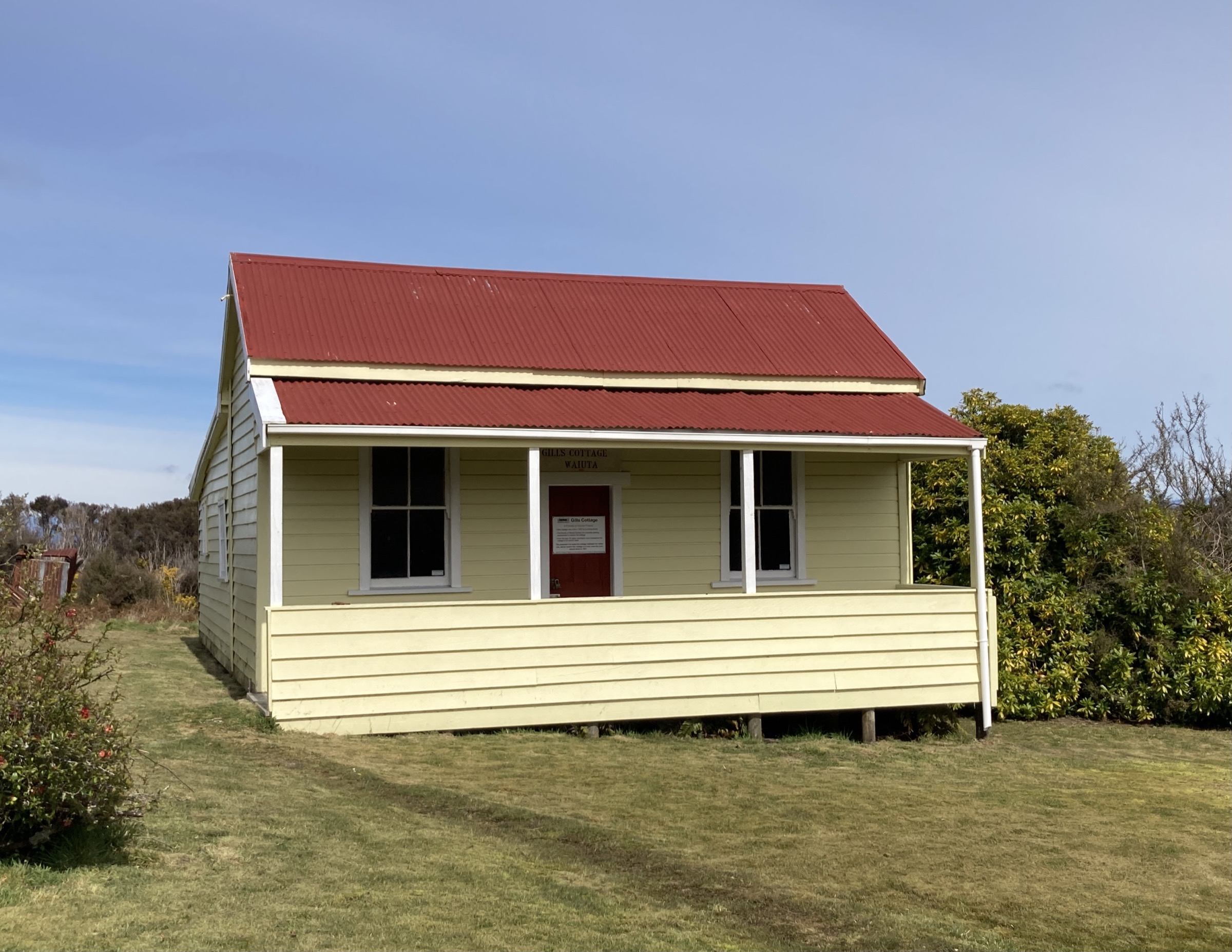
Follow the signed Waiuta township remains loop past building sites, interpretation panels and the historic layout of the former mining settlement. Return to the start via the marked heritage route.
Why it is essential
Waiuta is the central Victoria Range’s defining heritage site. The short walk gives context for the larger Snowy Battery, Waiuta–Big River and Golden Lead routes, and it is the standard first stop for parties visiting the goldfield.
Equipment
- Walking shoes
- Rain layer and warm layer
- 1 L water
- Insect protection
- DOC Reefton Walks brochure or offline map for interpreting the site
Hazards and notes
- Stay on marked routes around historic remains — old mining ground may contain unstable structures, shafts or hidden hazards
- Wet grass and old tracks become slippery after rain
- No shelter or amenities on the loop itself — carry your own water
2. Snowy Battery Track
Snapshot
Itinerary
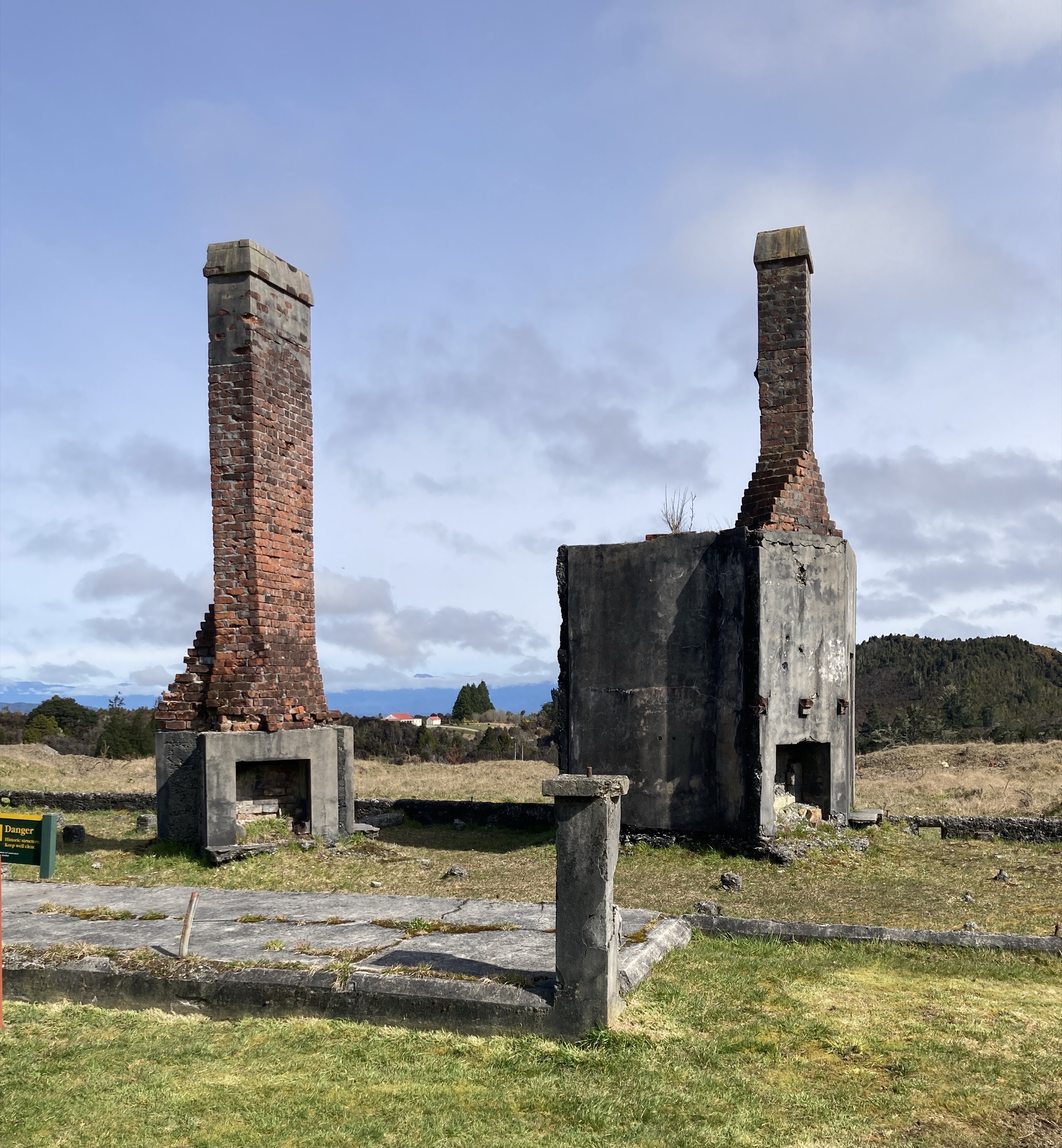
From Waiuta, follow the marked track to Snowy Battery and return by the same track. The route links the township remains with one of the key processing sites in the Waiuta mining landscape.
Why it is essential
Snowy Battery is the shortest walk that connects Waiuta’s township story to its industrial mining infrastructure — the crushing and processing plant that sat at the heart of the goldfield.
Equipment
- Walking shoes or light boots
- Rain layer and warm layer
- 1–1.5 L water
- Insect protection
- Map or DOC Reefton Walks brochure
Hazards and notes
- AllTrails mapped variant is longer than DOC’s 1 km return figure — use the official DOC route unless deliberately mapping a larger loop
- Stay away from unstable relics and shafts at the battery site
- Slippery after rain on old track surface
3. Waiuta to Big River Track
Snapshot
Itinerary
From Waiuta, follow the old pack route through wet West Coast forest toward Big River Hut and the Big River historic area. The route can be walked as a point-to-point day with vehicle logistics at both ends, or extended into a hut-based overnight trip.
Why it is essential
This is the central Victoria Range’s classic through-route — the old goldfield pack track linking Waiuta with Big River and connecting two of the region’s major mining sites in a single day’s walking.
Equipment
- Sturdy tramping boots
- Waterproof shell and warm mid-layer
- Map, compass and offline GPS
- Headlamp with spare batteries — long day, headlamp finish possible
- 2.5 L water and food for a long day
- Personal Locator Beacon
- First-aid kit
Hazards and notes
- Long forest route with mud, roots and unbridged stream crossings
- Limited escape options on the pack track between the two goldfields
- No public transport at either end — shuttle or two-vehicle logistics essential
- A same-day return from Waiuta (out-and-back over 21+ km) would be strenuous and outside the normal day-walk framing for many parties
- Stay clear of unstable mining relics on both ends
4. Big River to Golden Lead Battery
Snapshot
Itinerary
From Big River Hut or the Big River historic area, follow the route toward Golden Lead Battery and return by the same track. The walk is best treated as a remote day objective from Big River, reached by prior hut stay, mountain bike or 4WD logistics where legal, or as a linked leg of a Waiuta–Big River overnight trip.
Why it is essential
Golden Lead Battery extends the central Victoria mining story beyond Waiuta and Big River — a remote industrial relic objective in deep forest, and the deepest walking penetration into the goldfield network that a fit party can make in a day from a Big River base.
Equipment
- Sturdy tramping boots
- Waterproof shell and warm mid-layer
- Map, compass and offline GPS
- Headlamp with spare batteries
- 2 L water and food for a long day
- Personal Locator Beacon
- First-aid kit
Hazards and notes
- The start is remote — this is not a walk to arrive at from a same-day Reefton departure
- DOC and AllTrails distance and time figures differ, likely because of mapped start/turnaround choices — confirm the route line before producing a GPX
- Stay clear of unstable mining relics at the battery site
- River and stream conditions on the way in and out can change quickly after West Coast rain
5. Murray Creek Track
Snapshot
Itinerary
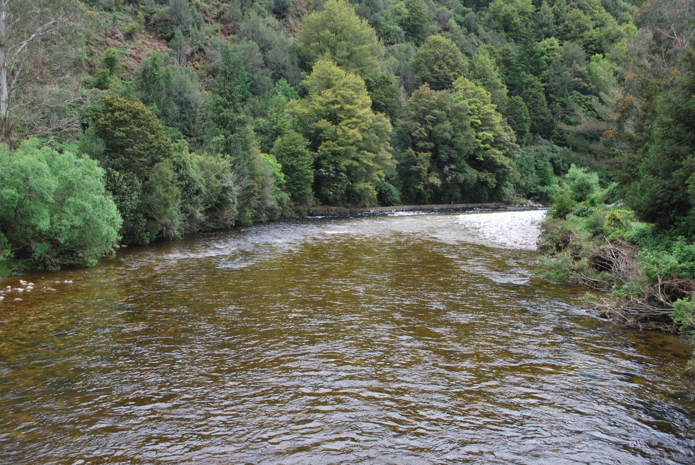
From the Blacks Point / Murray Creek trailhead, follow the Murray Creek Track loop through forest and historic gold-mining country. The route links old workings and forested ridges before returning to the start.
Why it is essential
Murray Creek is the central sector’s best day-sized loop — a self-contained circuit through mining heritage country that complements the Waiuta and Big River point-to-point routes without needing shuttle logistics or a remote base.
Equipment
- Sturdy walking shoes or light tramping boots
- Waterproof shell and warm mid-layer
- Map, compass and offline GPS
- Headlamp with spare batteries
- 2 L water and food
- Insect protection
Hazards and notes
- Wet forest track — mud, roots and stream gullies after rain
- Old mining features — stay on marked routes near workings
- Mountain bikes may be present on some Reefton-area tracks — check current DOC use rules before departure
- 623 m of moderate climbing on the loop — pace conservatively
Further reading
| Resource | Link |
|---|---|
| DOC — Victoria Forest Park | doc.govt.nz |
| DOC — Reefton walks brochure (PDF) | doc.govt.nz |
| DOC — Waiuta historic site | doc.govt.nz |
| DOC — Big River Hut | doc.govt.nz |
| DOC — Murray Creek Track | doc.govt.nz |
| MetService — West Coast / Buller regional forecast | metservice.com |
| Wikipedia — Waiuta | en.wikipedia.org |
| Wikipedia — Reefton | en.wikipedia.org |
| Wikimedia Commons — Waiuta | commons.wikimedia.org |