Barrington Tops — Essential Day-Hikes
Regional overview
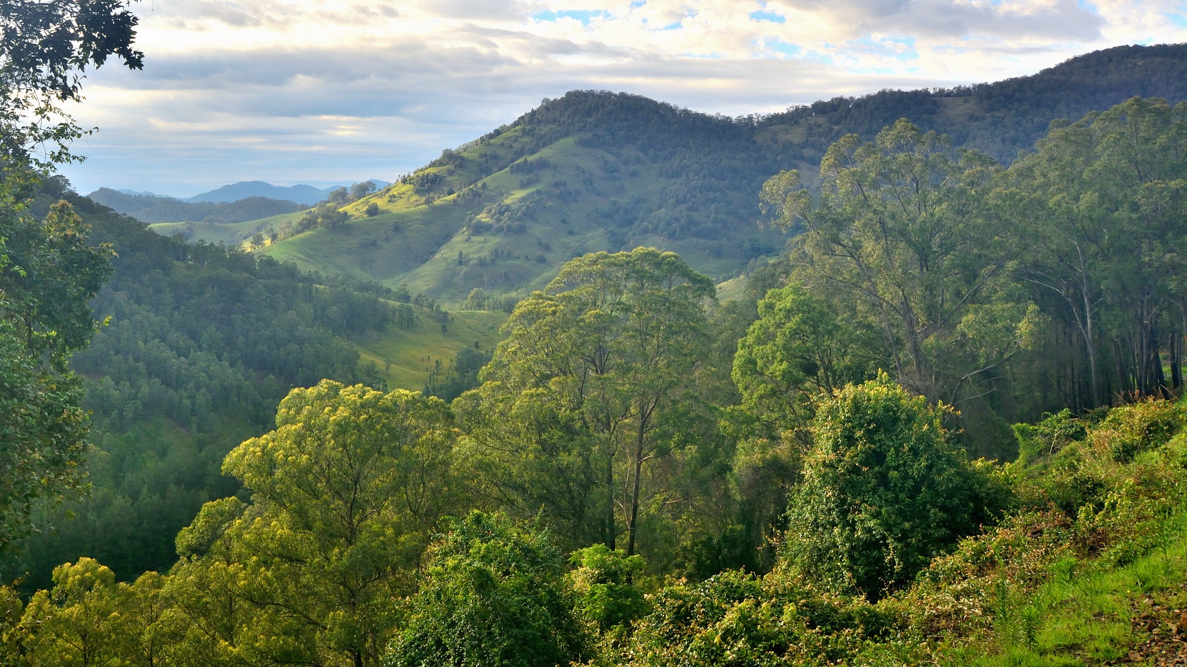
Barrington Tops is a high basalt plateau at the northern end of the Hunter region of New South Wales, roughly 300 km north of Sydney, rising to 1,586 m at Brumlow Top and 1,555 m at Mount Barrington. The plateau sits within Barrington Tops National Park and the adjoining Barrington Tops State Conservation Area, with Copeland Tops State Conservation Area on the eastern rainforest flanks. Together they cover more than 76,000 hectares of subalpine woodland, cool temperate rainforest, sphagnum wetlands and eucalypt forest. The rainforests are part of the Gondwana Rainforests of Australia World Heritage Area, one of the most extensive stands of cool temperate rainforest on mainland Australia.
The plateau lies on the traditional Country of the Worimi, Biripi, Wonnarua and Geawegal peoples, and the wider Barrington–Gloucester–Chichester region has been an area of cultural exchange and travel between coastal and inland groups for many thousands of years. Gloucester and Dungog are the main service towns on the eastern and southern approaches; Scone provides access from the west via the unsealed Barrington Trail. The park is bisected by the Barrington Tops Forest Road (also referred to as the Tubrabucca Road or Barrington Tops Road on some maps), which crosses the plateau via Polblue and Devils Hole.
Terrain on the plateau is gentle by Australian standards — the walking is largely rolling — but the escarpment falls away steeply on the eastern and southern sides, and the Gloucester Tops precinct sits on a distinct spur east of the main plateau. Winter snowfall is common above about 1,300 m from June to September, and snow gum (Eucalyptus pauciflora) woodland is the dominant subalpine cover. The Barrington Trail, which gives internal vehicle access to the Mount Barrington trailhead for Careys Peak, is closed to vehicles from 1 June to 30 September each year to protect the plateau from wet-weather damage; walking access continues year-round via longer approach tracks such as the Corker Trail from Lagoon Pinch.
Weather on the plateau changes quickly. Summer thunderstorms can drop temperatures by 15 °C in an hour, winter snow and freezing rain are regular, and unsealed access roads become impassable after heavy rain. Mobile coverage is patchy to absent across most of the park. The five walks below are chosen to give a rounded picture of the region across a range of fitness levels, from a plateau boardwalk to a full-day escarpment traverse — but each one demands careful attention to the current NPWS alerts before travel.
Selection rationale
The five walks are chosen to represent the main habitats and viewpoints of the Barrington Tops region. Careys Peak is the classic subalpine escarpment day, the Gloucester Tops circuit strings together the flagship Gondwana rainforest and snow gum walks in one loop, Polblue Swamp gives the plateau wetland experience in an easy half-hour, Jerusalem Creek covers the World Heritage rainforest and waterfall on the southern approach from Dungog, and the Basin Loop at Copeland Tops adds a lower-altitude rainforest and mining-heritage circuit reachable without driving up the plateau. The list deliberately mixes short and long walks so that visitors with any single weather window can find a suitable route.
Summary table
| # | Hike | Country | Route type | Distance | Gain | Max elevation | Difficulty |
|---|---|---|---|---|---|---|---|
| 1 | Careys Peak walking track | Australia | Out-and-back | ~14 km | ~380 m | ~1,544 m | Grade 4 (AWTGS) |
| 2 | Gloucester Tops circuit | Australia | Loop | ~8 km | ~250 m | ~1,370 m | Grade 4 (AWTGS) |
| 3 | Polblue Swamp track | Australia | Loop | ~3 km | ~30 m | ~1,460 m | Grade 3 (AWTGS) |
| 4 | Jerusalem Creek trail | Australia | Out-and-back | ~2–4 km | ~200 m | ~700 m | Grade 4 (AWTGS) |
| 5 | Basin Loop track (Copeland Tops) | Australia | Loop | ~7 km | ~250 m | ~600 m | Grade 3 (AWTGS) |
1. Careys Peak walking track
Snapshot
Itinerary
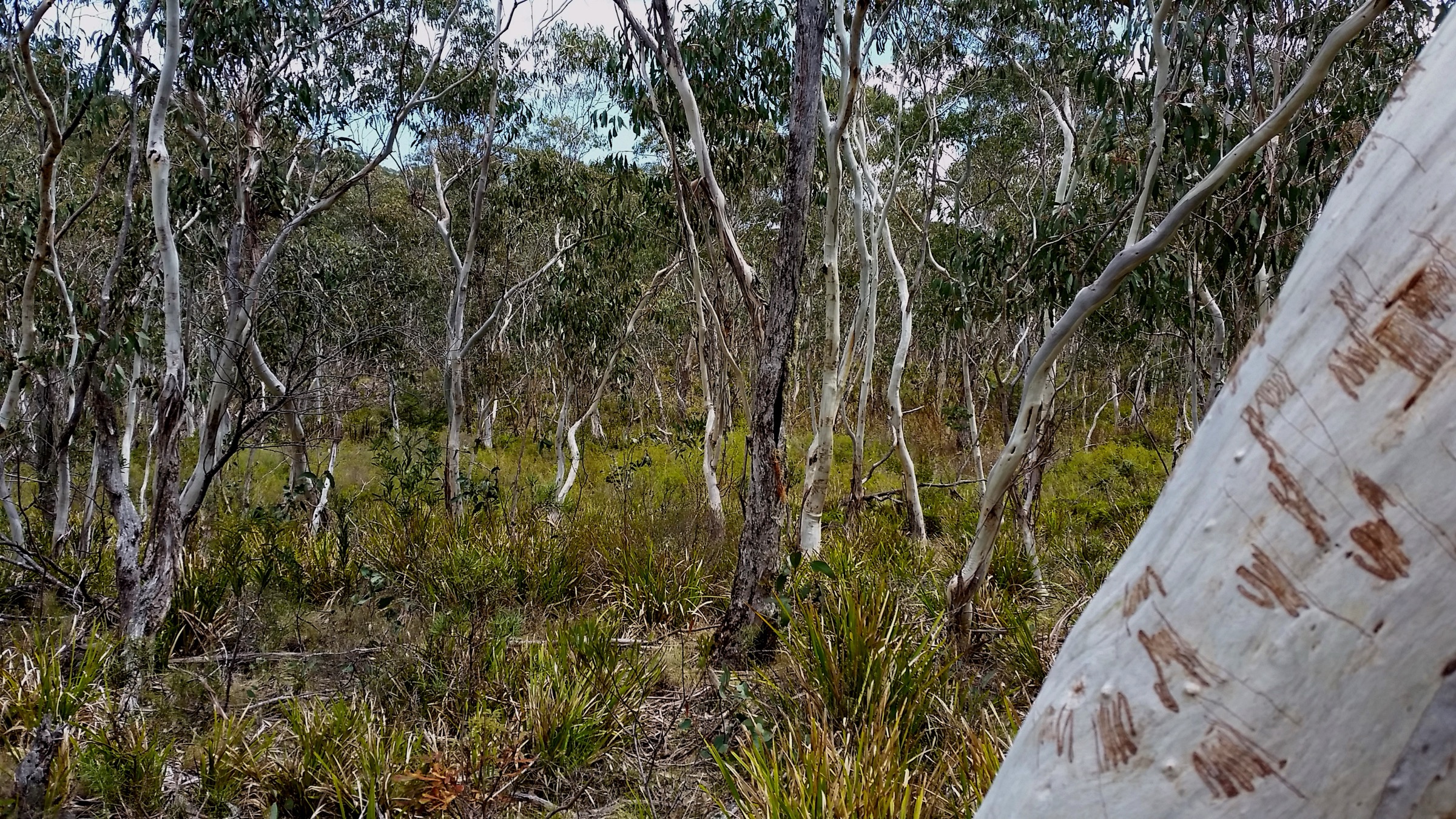
The standard summer route starts from the Mount Barrington trailhead at the end of the unsealed Barrington Trail, deep inside Barrington Tops National Park. From the car park the marked track heads south-east across gently rolling plateau country through open snow gum and mountain gum woodland dotted with subalpine grassland and small sphagnum flushes. The path passes historic Careys Peak Hut, a stone shelter still used by walkers on multi-day traverses, and continues along the eastern rim of the escarpment.
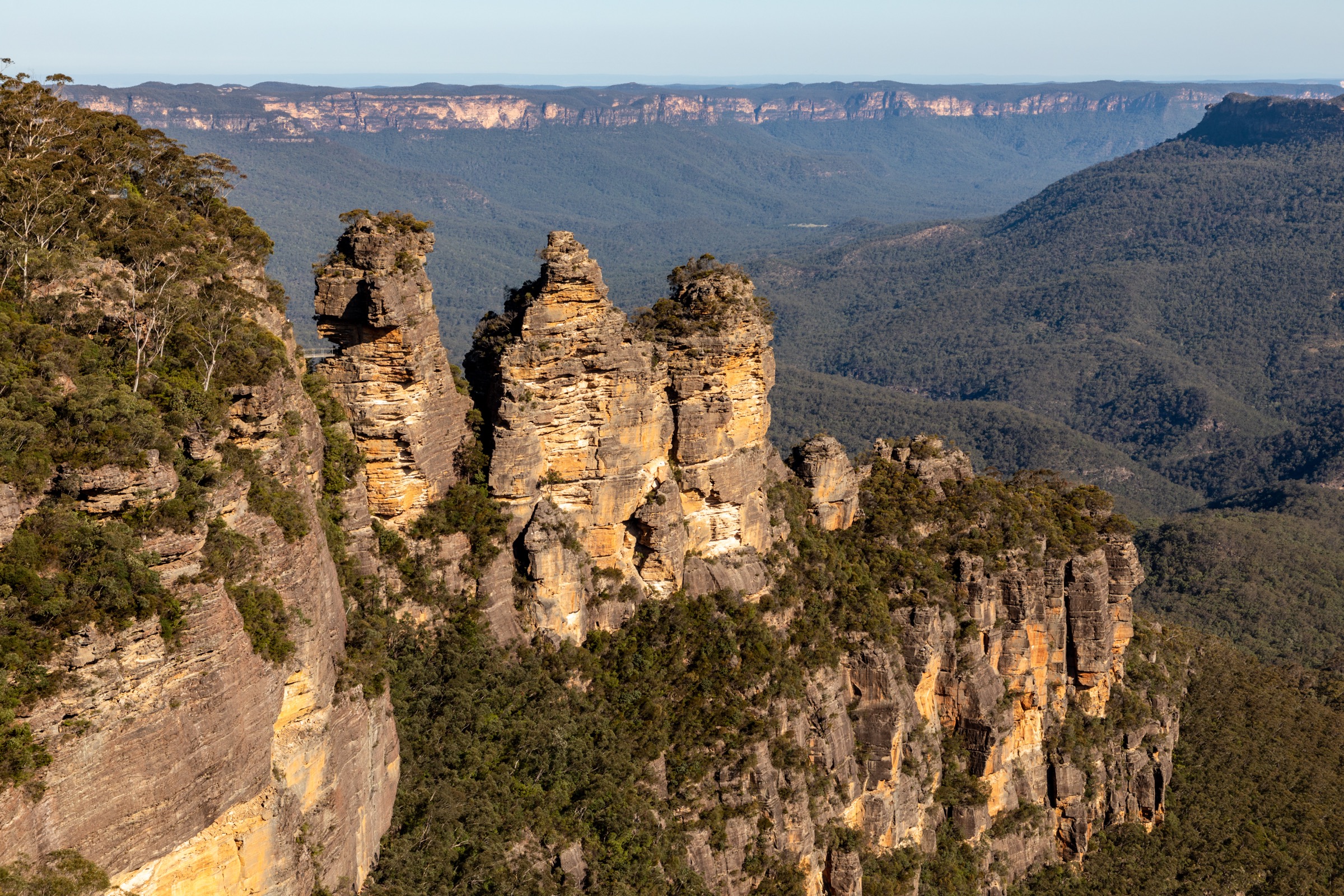
The escarpment section gives the day its character. The track skirts a series of cliff-top openings with Antarctic beech (Nothofagus moorei) growing on the sheltered slopes just below, and reaches Careys Peak lookout at approximately 1,544 m. The view sweeps east and south over the Barrington wilderness, the Manning River catchment and — on clear days — the Hunter Valley towards Newcastle. Return is on the same line back across the plateau to the trailhead.
Walkers approaching from Lagoon Pinch on the Corker Trail add roughly 800 m of ascent on a steep fire trail before joining the plateau route; this variant becomes a very long day (25–30 km return) and is more commonly walked as an overnight trip.
Why it is essential
Careys Peak is the classic Barrington Tops day-walk and the only signposted route that combines the plateau’s subalpine snow gum landscape with a direct view over the Gondwana rainforest and escarpment. It is the standard reference walk against which every other Barrington route is compared.
Equipment
- Sturdy boots (wet, rutted plateau surface even in summer)
- Weatherproof shell and warm mid-layer — plateau temperatures are 10–15 °C cooler than the surrounding lowlands
- Beanie and gloves outside midsummer
- 2–3 L of water (limited reliable water sources on the plateau)
- Map, compass and GPS — cloud can descend rapidly
- PLB recommended given remoteness and patchy mobile coverage
- Insect repellent and leech protection through the warmer months
- Headtorch for a long day
Hazards and notes
- Barrington Trail (vehicle access) is closed each year from 1 June to 30 September; check current NPWS alerts before travel.
- Sudden weather changes are the main hazard — clear plateau mornings can turn to freezing rain by afternoon.
- Winter snow lies on the ridge; the track is unmarked under snow cover.
- Sphagnum flushes are ecologically sensitive; stay on the formed tread.
- No potable water on the plateau; treat any surface water.
- Mobile coverage is intermittent to absent.
GPX / route file
| Source | URL | Format | Notes |
|---|---|---|---|
| NSW National Parks — Careys Peak walking track | nationalparks.nsw.gov.au | Web page | Official route source; no direct GPX download |
| Trail Hiking Australia — Careys Peak Walking Track (14 km) | trailhiking.com.au | Web page | Distance, elevation gain and grade cross-check |
| Barrington Coast — Careys Peak | barringtoncoast.com.au | Web page | Regional tourism source |
Sources
- NSW National Parks — Careys Peak walking track
- NSW National Parks — Careys Peak lookout
- Trail Hiking Australia — Careys Peak Walking Track
- Wikimedia Commons — Snow Gum woodland
2. Gloucester Tops circuit
Snapshot
Itinerary
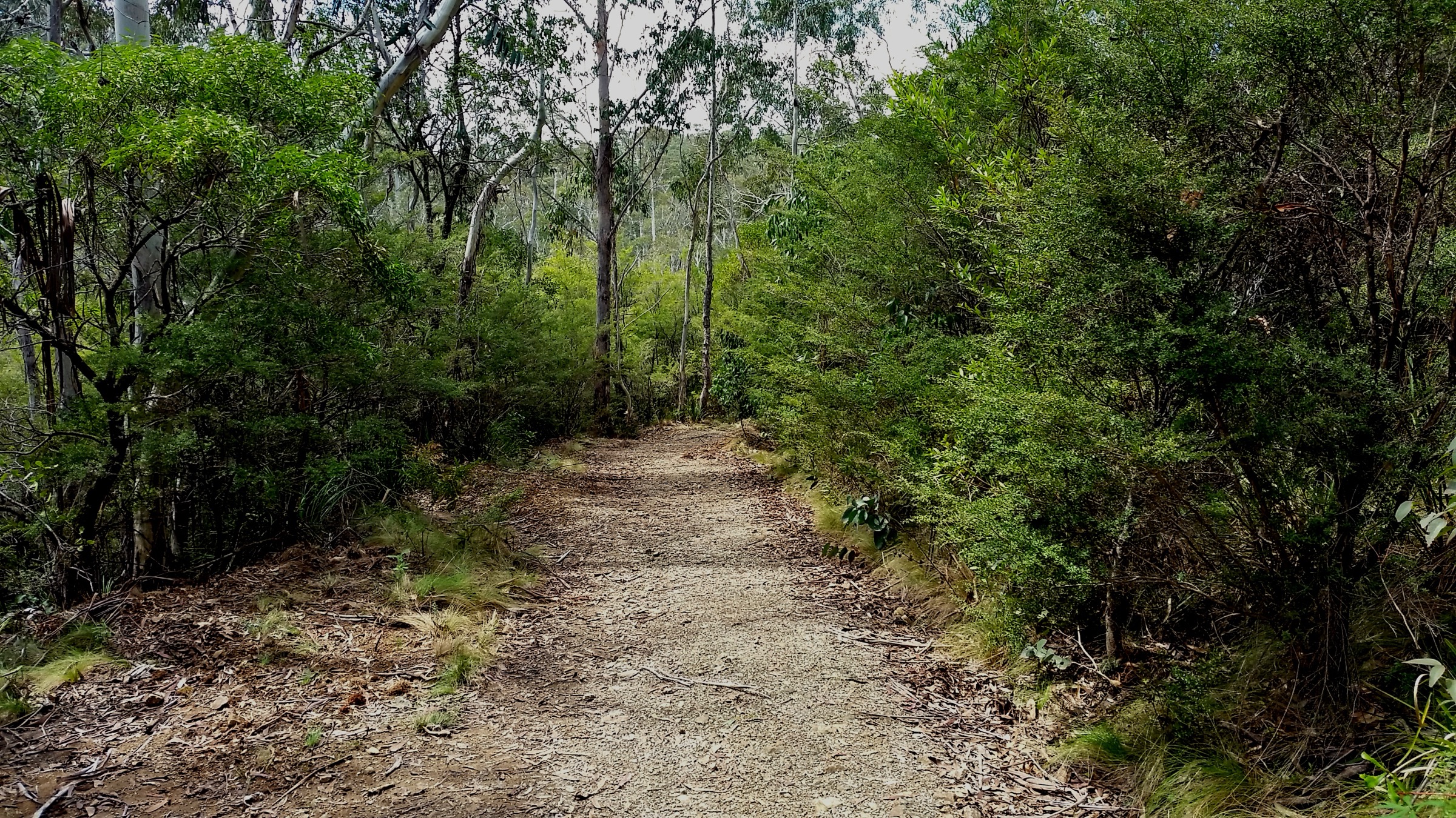
The circuit strings together three of Barrington Tops National Park’s most popular short walks into a single 8 km loop from the Gloucester Falls picnic area. The route leaves the car park through open snow gum woodland on the Gloucester Falls walking track, reaching Andrew Laurie lookout on the edge of the eastern escarpment and then Gloucester Falls lookout, where the Gloucester River drops through a series of cascades into a wooded gorge.
From the falls the loop drops onto the River walking track, following the young Gloucester River upstream through subalpine woodland and sedgeland. This section is the best chance in the park for wildlife — swamp wallabies, eastern grey kangaroos, and, in summer, wildflowers including bluebells, rice flowers and billy buttons. The final leg is the Antarctic Beech Forest walking track, which climbs briefly through snow gum then drops into cool temperate rainforest with a canopy of Antarctic beech (Nothofagus moorei) above tree ferns and moss-covered ground. The rainforest gully is the Gondwana section of the walk and forms part of the World Heritage Area.
The circuit rejoins the Gloucester Falls picnic area on the return. Walkers preferring a shorter option can complete any of the three tracks as a standalone walk — the Antarctic Beech Forest track alone is 2.5 km, Grade 3.
Why it is essential
The Gloucester Tops circuit is the best single walk in the region for showing the range of Barrington Tops habitats — escarpment lookouts, subalpine snow gum, riverine sedgeland and Gondwana rainforest — in one manageable loop. It is the flagship day-walk on the eastern side of the park and the standard recommendation for a single day in the Gloucester Tops.
Equipment
- Sturdy walking shoes or light boots
- Warm layer and weatherproof shell — the plateau is markedly cooler than Gloucester
- Rain jacket year-round
- 2 L water
- Map and GPS
- Insect and leech protection in warmer months
- Camera for the rainforest and lookouts
Hazards and notes
- The final 20 km of Gloucester Tops Road is unsealed and can become impassable after rain; check conditions before driving.
- Leeches are common in the Antarctic Beech section after rain.
- The rainforest can be dim and cool even in midsummer; carry an extra layer.
- No potable water on the loop.
- Mobile coverage is absent.
GPX / route file
| Source | URL | Format | Notes |
|---|---|---|---|
| NSW National Parks — Gloucester Tops circuit | nationalparks.nsw.gov.au | Web page | Official route source |
| NSW National Parks — Antarctic Beech Forest walking track | nationalparks.nsw.gov.au | Web page | Rainforest section source |
| Visit NSW — Gloucester Tops Circuit | visitnsw.com | Web page | Regional tourism cross-check |
Sources
- NSW National Parks — Gloucester Tops circuit
- NSW National Parks — Antarctic Beech Forest walking track
- Wikimedia Commons — Gloucester Falls Walking Track
3. Polblue Swamp track
Snapshot
Itinerary
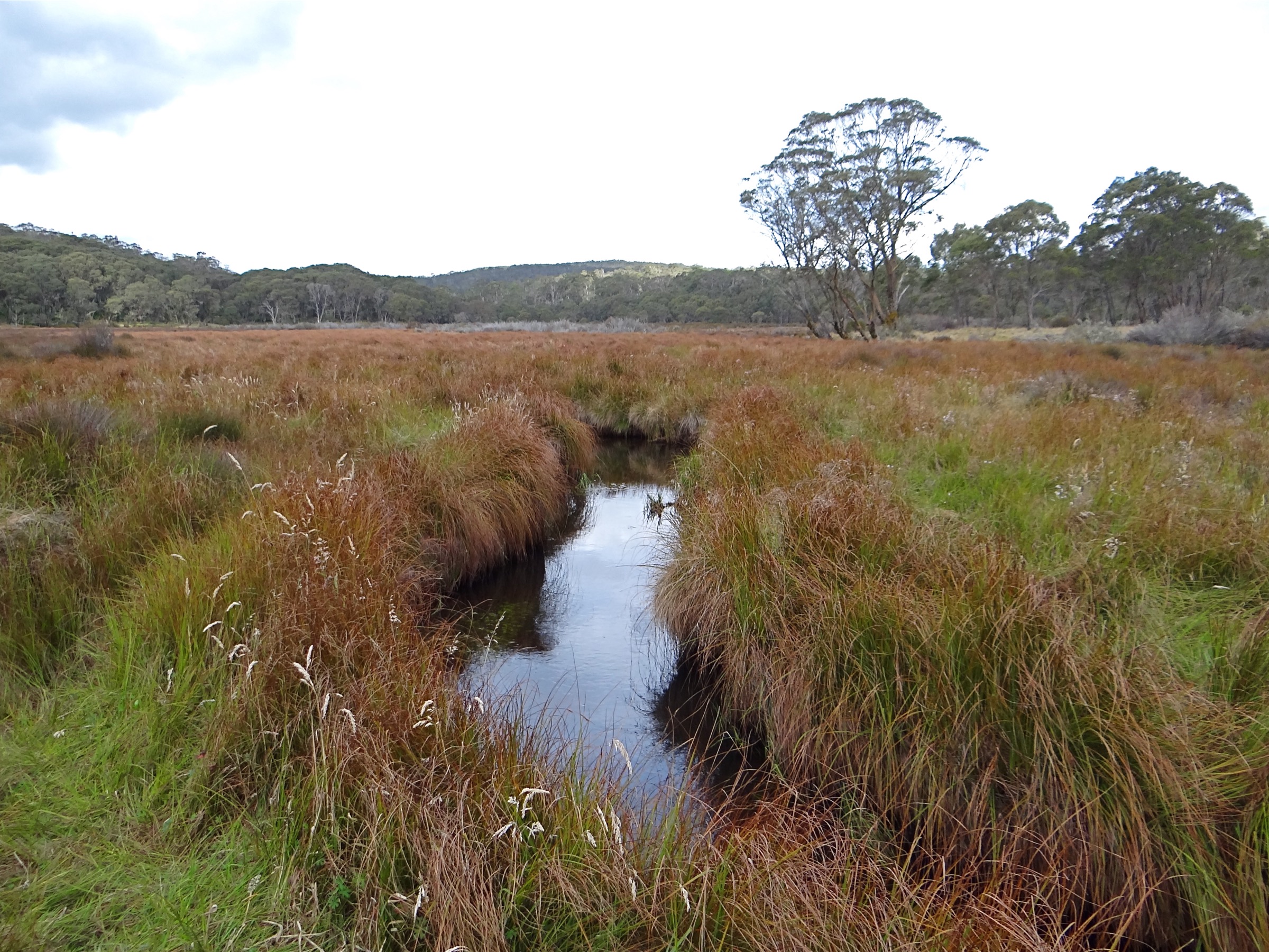
The Polblue Swamp track is a short loop through one of the highest sphagnum wetlands on the New South Wales mainland. From the Polblue campground and picnic area, the marked path leaves the north-east corner of the grassy campground and enters mixed subalpine woodland of snow gum, mountain gum and black sally (Eucalyptus stellulata). The tread is a mix of formed earth path and raised timber boardwalk, with several short bridges over spring-fed creeks.
The loop skirts the edge of Polblue Swamp itself, a broad sphagnum bog fringed by tussock sedgeland. Wombats and eastern grey kangaroos are commonly seen on the swamp margins at dawn and dusk, and rare ground orchids — including Diuris venosa, the veined doubletail, which is largely restricted to the Barrington plateau — flower in spring and early summer. The path returns through open snow gum woodland to the campground.
The walk is short, but the environment is fragile: NPWS asks walkers to stay strictly on the formed tread or boardwalk to protect the swamp margins.
Why it is essential
Polblue Swamp is the accessible short walk of the Barrington Tops plateau and gives the plateau wetland experience — snow gums, sphagnum bog, wombats, orchids — in under an hour. It is the natural short pairing for anyone driving across the plateau to Careys Peak or Devils Hole, and one of very few boardwalked subalpine wetlands in mainland Australia.
Equipment
- Walking shoes or light boots (boardwalk sections can be slippery)
- Warm layer and shell — plateau temperatures drop quickly
- 1 L water
- Sun protection
- Binoculars useful for wildlife
- Insect repellent through summer
Hazards and notes
- Fragile sphagnum wetland — do not leave the formed tread or boardwalk.
- Overnight frosts common through the cooler months; boardwalks can be icy.
- Winter snow is possible; road access via Barrington Tops Forest Road can be closed.
- Mobile coverage is absent.
- Dogs are not permitted in the national park.
GPX / route file
| Source | URL | Format | Notes |
|---|---|---|---|
| NSW National Parks — Polblue Swamp track | nationalparks.nsw.gov.au | Web page | Official route source |
| Trail Hiking Australia — Polblue Swamp Track (3 km) | trailhiking.com.au | Web page | Distance and grade cross-check |
Sources
- NSW National Parks — Polblue Swamp track
- NSW National Parks — Polblue campground and picnic area
- Wikimedia Commons — Polblue Creek
4. Jerusalem Creek trail
Snapshot
Itinerary
The Jerusalem Creek trail is the standard short walk into the World Heritage rainforest on the southern flank of Barrington Tops, reached from Dungog via Salisbury. From the Jerusalem Creek picnic area the path drops away from the ridge on a formed but sometimes muddy tread through subtropical rainforest, with a canopy of coachwood, sassafras and yellow carabeen and an understorey of tree ferns.
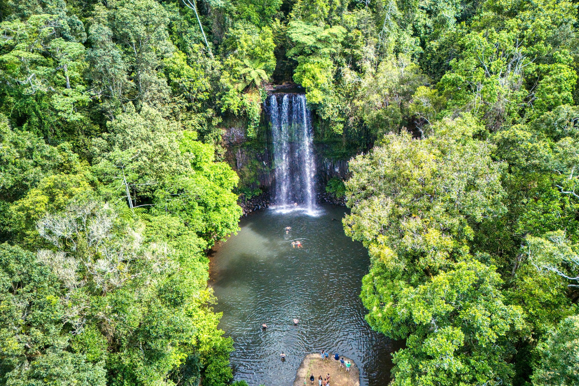
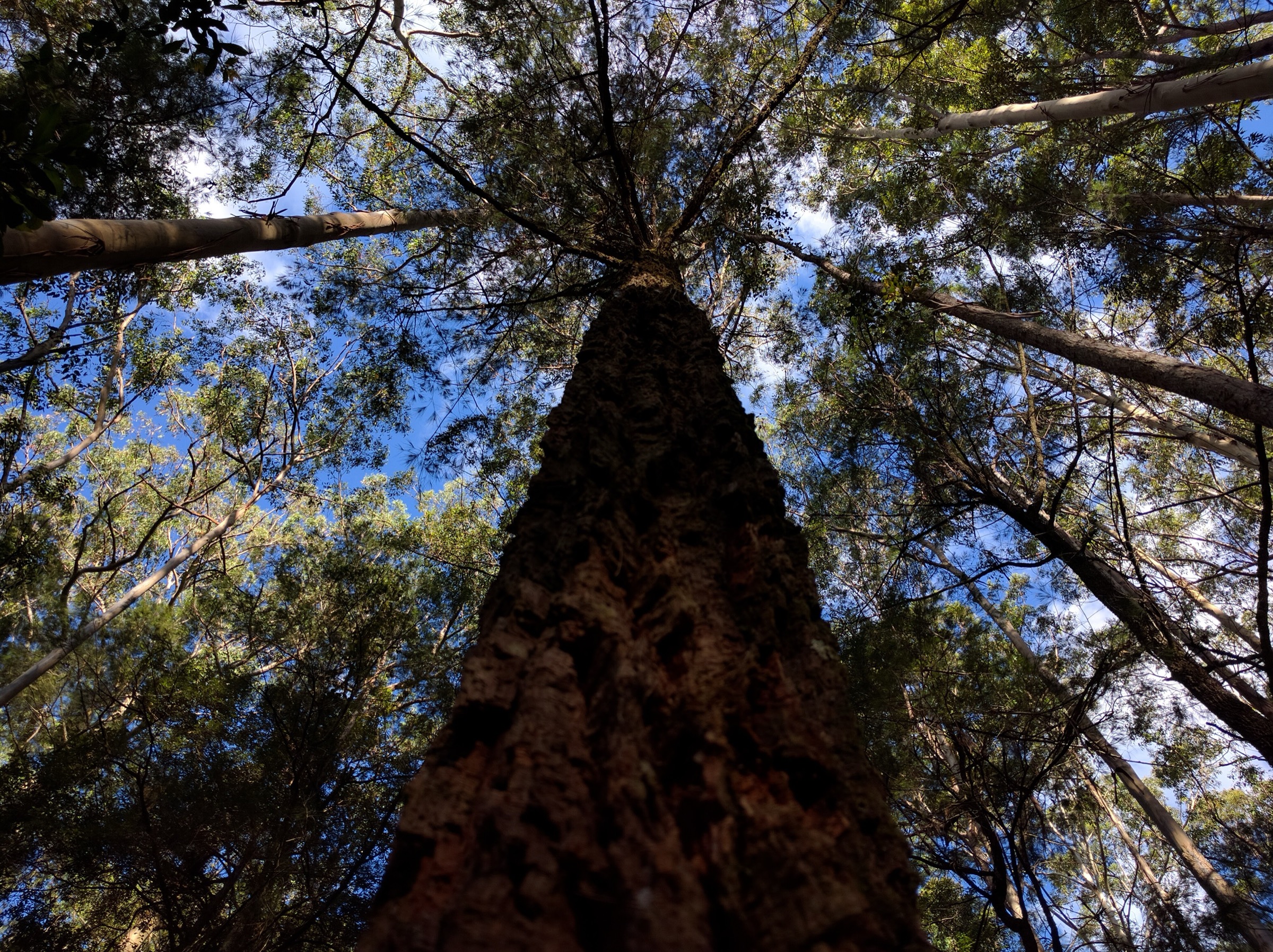
The descent leads to Jerusalem Creek and a series of cascades and rock pools where the creek drops through a narrow gorge. The most-photographed feature is a large multi-stemmed rainforest tree just above the falls, which gives the sense of scale that makes the walk memorable. Walkers can return on the same line, or continue up the far side of the creek to close a small loop back to the picnic area via the access road.
The area is a good introduction to lower-altitude Gondwana rainforest for walkers not intending to drive up onto the plateau.
Why it is essential
Jerusalem Creek is the only NPWS-signposted rainforest and waterfall walk on the southern approach from Dungog and the natural pairing for anyone visiting Barrington Tops from Newcastle without the time or vehicle to reach the plateau. It gives the World Heritage rainforest experience close to sea level.
Equipment
- Sturdy walking shoes with grip — the tread is often wet
- Long trousers and leech protection
- Rain jacket
- 1.5 L water
- Insect repellent
- First-aid kit
Hazards and notes
- Leeches are common in the rainforest section after rain.
- Access via Salisbury Road can be boggy in wet weather.
- The falls area has slippery rocks — no swimming from the top of the cascades.
- Mobile coverage is limited.
- Park may close during high fire danger.
GPX / route file
| Source | URL | Format | Notes |
|---|---|---|---|
| NSW National Parks — Jerusalem Creek trail | nationalparks.nsw.gov.au | Web page | Official route source |
| Trail Hiking Australia — Jerusalem Creek Walking Track (4 km) | trailhiking.com.au | Web page | Alternate distance including road loop |
| Beyond Tracks — Jerusalem Creek Track | beyondtracks.com | Web page | Third-party cross-check |
Sources
- NSW National Parks — Jerusalem Creek trail
- Trail Hiking Australia — Jerusalem Creek Walking Track
- Wikimedia Commons — Majestic Tree Jerusalem Creek
5. Basin Loop track (Copeland Tops)
Snapshot
Itinerary
Copeland Tops State Conservation Area sits on the western flank of the Gloucester Valley and protects a low-altitude dry rainforest and eucalypt landscape with a well-preserved late-nineteenth-century gold-mining heritage. The Basin Loop track is the longest walking route in the reserve and is best walked from the Copeland Tops picnic area.
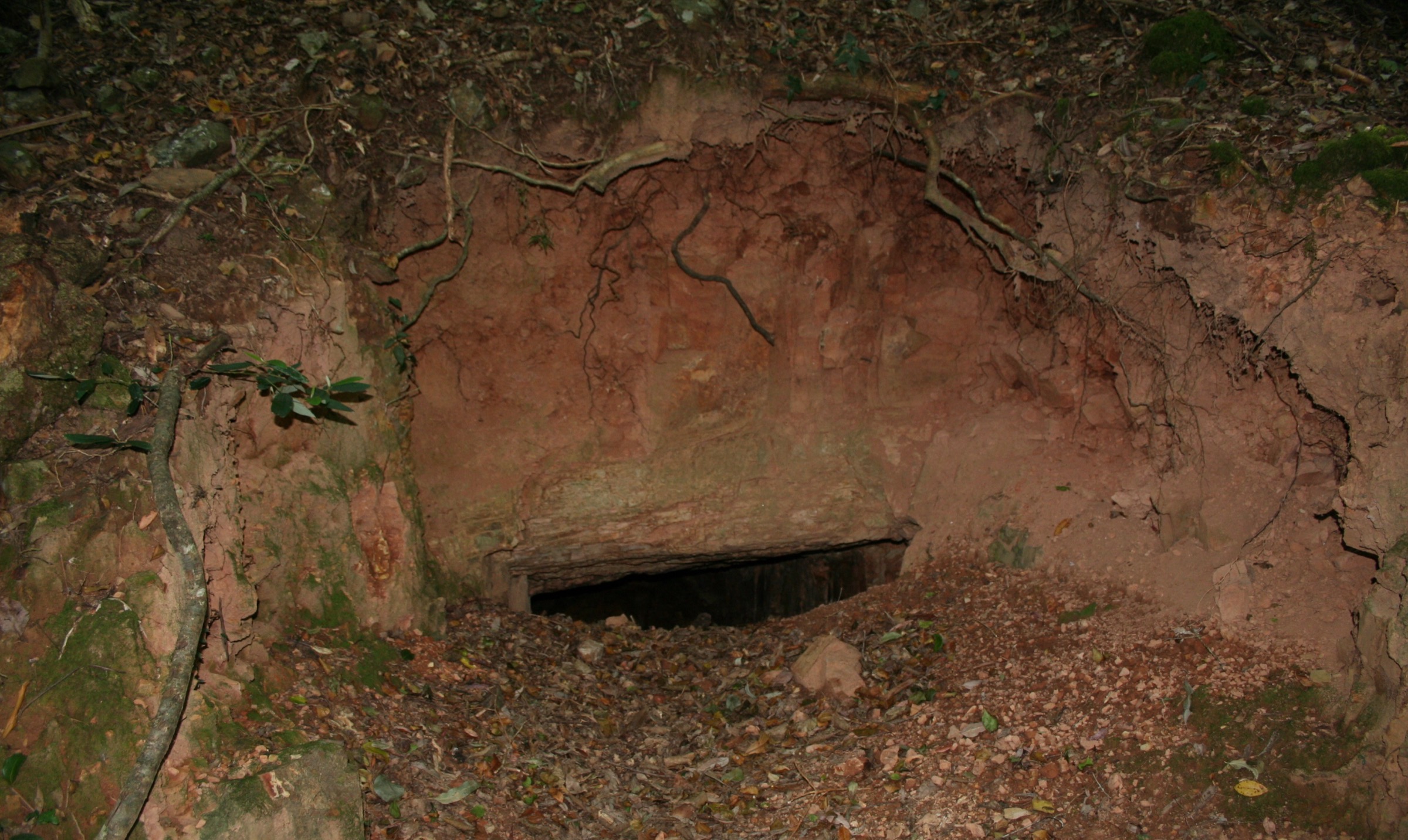
The track begins on the shared start with the Hidden Treasure track, a well-formed path that winds through dry rainforest of coachwood, giant stinging tree and figs. The Basin Loop leaves the shorter track and follows the historic Old Copeland Road along the northern ridge of the loop, passing the remains of gold-mining works — shafts, stamper foundations and levelled tracks — from the 1876 Copeland gold rush. The ridge line gives filtered views east across the Gloucester Valley before the track descends back into rainforest to close the loop at the picnic area.
The reserve is a much lower-altitude counterpoint to the plateau walks and can be visited when the higher tracks are closed or under snow.
Why it is essential
Copeland Tops is the accessible World-Heritage-adjacent rainforest walk of the Barrington Tops region and the only one that combines Gondwana rainforest character with a legible mining-heritage layer. Because it sits at low altitude and is reached on sealed and short unsealed road from Gloucester, it is the reliable winter fallback when the plateau is closed.
Equipment
- Sturdy walking shoes or light boots
- Long trousers and leech protection
- Rain jacket
- 2 L water
- Insect repellent
- Camera for the rainforest and heritage sites
Hazards and notes
- Leeches are abundant in the rainforest sections after rain.
- Historic mine workings are unfenced in places; stay on the formed tread and do not enter shafts.
- Track can be muddy in wet weather.
- Stinging trees (Dendrocnide excelsa) are present — do not brush against large heart-shaped leaves.
- Mobile coverage is patchy.
GPX / route file
| Source | URL | Format | Notes |
|---|---|---|---|
| NSW National Parks — Basin Loop track | nationalparks.nsw.gov.au | Web page | Official route source |
| NSW National Parks — Copeland Tops SCA | nationalparks.nsw.gov.au | Web page | Reserve context |
| Trail Hiking Australia — Basin Loop Track (7 km) | trailhiking.com.au | Web page | Distance and grade cross-check |
Sources
- NSW National Parks — Basin Loop track
- NSW National Parks — Copeland Tops State Conservation Area
- Trail Hiking Australia — Basin Loop Track
- Wikimedia Commons — Abandoned Gold Mine, Copeland Tops
Region-level sources
| Source | URL |
|---|---|
| NSW National Parks — Barrington Tops National Park | nationalparks.nsw.gov.au |
| NSW National Parks — Copeland Tops State Conservation Area | nationalparks.nsw.gov.au |
| NSW National Parks — Careys Peak walking track | nationalparks.nsw.gov.au |
| NSW National Parks — Gloucester Tops circuit | nationalparks.nsw.gov.au |
| NSW National Parks — Polblue Swamp track | nationalparks.nsw.gov.au |
| NSW National Parks — Jerusalem Creek trail | nationalparks.nsw.gov.au |
| Barrington Coast — walks | barringtoncoast.com.au |
| Gloucester Tourism | gloucestertourism.com.au |
| Wikipedia — Barrington Tops National Park | en.wikipedia.org |
Further reading
Nearby Great Dividing Range guides on Storm
- ACT, Namadgi and the Brindabella Ranges
- Atherton Tablelands / Cairns Highlands
- Blue Mountains
- Bunya Mountains / South Burnett
- Barrington Coast — Where to find the best walks
- Australian Geographic — Explore the Barrington Tops region
- Wikipedia — Barrington Tops National Park
Missing data / follow-up work
- No official NPWS GPX or KML downloads exist for any of the five walks; all route files are official web-page sources and third-party GPS traces.
- Cumulative elevation gain for Careys Peak varies between sources (~380 m per Trail Hiking Australia, more if the Corker Trail approach is included); use the higher figure for planning.
- NPWS gives 2 km return for the Jerusalem Creek trail while third-party databases report 4 km including the loop back via the access road; the higher figure is used in the summary table.
- Barrington Trail vehicle access to the Mount Barrington trailhead for Careys Peak is closed 1 June – 30 September each year; walkers wanting a winter summit must approach on foot via the Corker Trail from Lagoon Pinch, which turns Careys Peak into a very long day or overnight trip and is not covered in detail here.
- Antarctic Beech Forest walking track is covered within the Gloucester Tops circuit; a stand-alone entry may be added if reader demand justifies it.