Regional overview
The Yemen Highlands contain some of the most dramatic mountain settlement landscapes in the Arabian Peninsula: fortified ridge towns, stone stairways, terraced Haraz villages, high volcanic and granite massifs, and the 3,666 m Jabal an-Nabi Shu’ayb, the highest mountain in Yemen and the Arabian Peninsula. In ordinary guidebook terms these would be exceptional day-hike candidates.
This catalogue entry must not be read as a current travel recommendation. As checked on 6 June 2026, the U.S. State Department has a Level 4 “Do not travel” advisory for Yemen, dated 19 December 2025, citing terrorism, unrest, crime, health risks, kidnapping, and landmines. The UK FCDO page was still current on 6 June 2026 and advises against all travel to the whole of Yemen due to unpredictable security conditions. The entries below are therefore “candidate only” records for future research or historical catalogue completeness.
Selection rationale
The five candidates cover the best-known highland walking identities: the Kawkaban-Shibam stone stairway, Haraz village walking around Manakhah and Al-Hajjarah, the Shaharah Bridge ridge village setting, Jabal an-Nabi Shu’ayb as the country high point, and Jabal Bura as the forested highland/biosphere-reserve candidate. None has publication-grade current access, safety, or reusable GPX data in this pass.
Summary table
| # | Hike | Country | Route type | Distance | Gain | Max elevation | Difficulty | Photo status |
|---|---|---|---|---|---|---|---|---|
| 1 | Kawkaban to Shibam stone stairway | Yemen | Out and back / descent-ascent | Short; 1,050 steps and about 586 m vertical separation | About 586 m if reascending | Kawkaban plateau, exact elevation not resolved | Moderate-hard | Not resolved |
| 2 | Manakhah to Al-Hajjarah / Haraz village walk | Yemen | Out and back / village path variant | Not resolved; Al-Hajjarah noted 5 km SW of Manakhah by Yemen Tourism | Not resolved | Not resolved | Moderate | Not resolved |
| 3 | Shaharah Bridge ridge walk | Yemen | Out and back / village circuit | Not resolved; short ridge/village walk | Not resolved | About 2,600 m bridge setting in secondary source | Moderate | Not resolved |
| 4 | Jabal an-Nabi Shu’ayb summit approach | Yemen | Out and back / road-track variant | Not resolved | Not resolved | 3,666 m | Hard / access dependent | Not resolved |
| 5 | Jabal Bura forest and terrace walk | Yemen | Out and back / guided local variant | Not resolved | Not resolved | 2,200-2,271 m depending source | Moderate-hard | Not resolved |
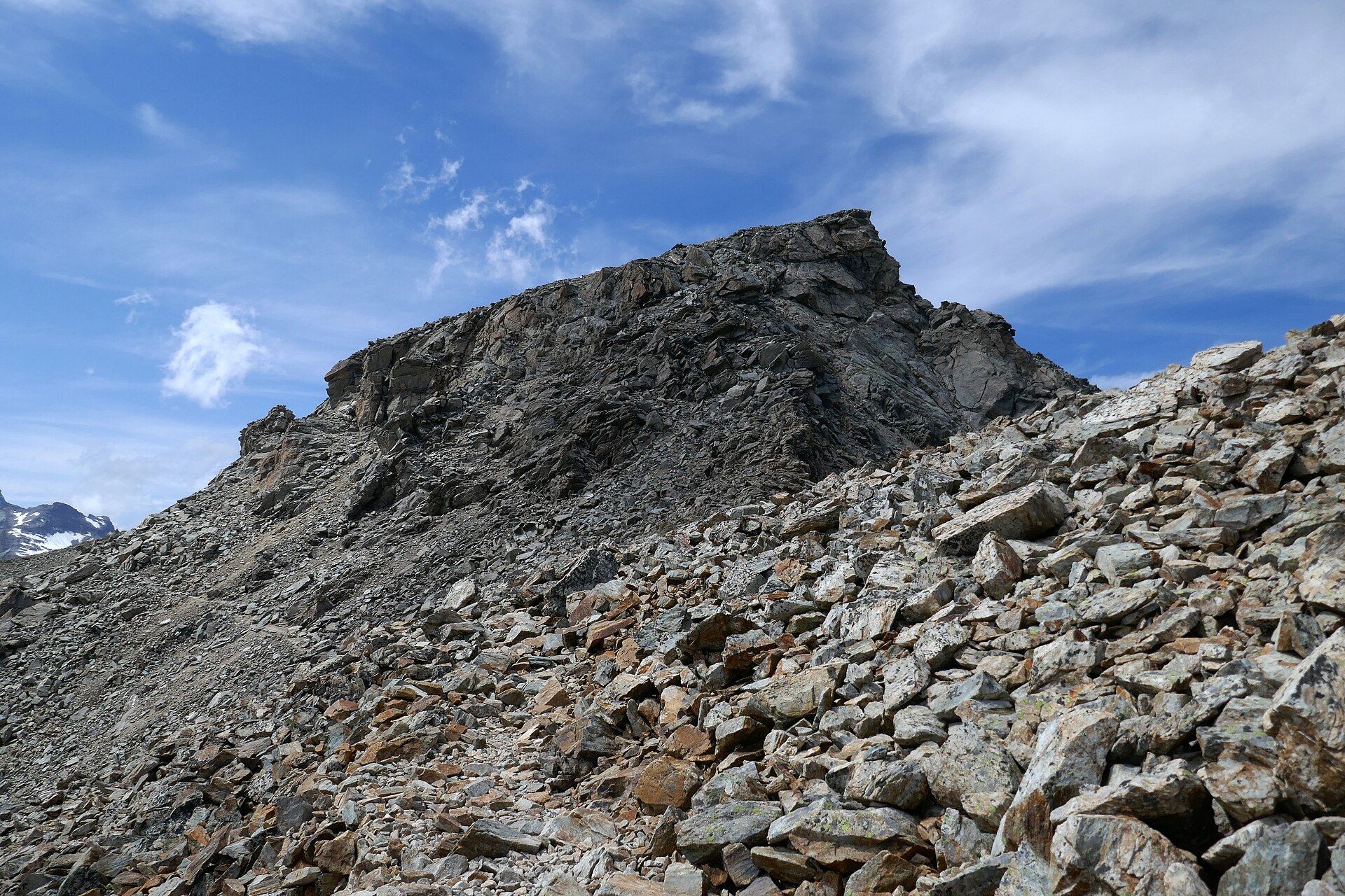
1. Kawkaban to Shibam Stone Stairway
Snapshot
Itinerary
The historic Shibam Kawkaban candidate links the lower city of Shibam with the fortified upper city of Kawkaban by a stone stairway. UNESCO’s tentative-list page describes the two cities as separated by approximately 586 m of steep vertical elevation and connected by a paved stairway of 1,050 stone steps.
Until security and access conditions change, this should remain a historical route candidate, not a suggested self-guided walk.
Why it is essential
The stairway is one of the purest highland walking images in Yemen: a functional historic pedestrian link between a valley settlement and a cliff-top stronghold.
Equipment
If future conditions allow: sturdy shoes, sun protection, water, modest clothing, local guide/permissions, and current security support. Under current advisories, recreational equipment lists are secondary to the travel warning.
Hazards and notes
- Current security, checkpoints, conflict, kidnapping, landmines, medical access, legal/visa uncertainty, and lack of consular support are overriding hazards.
- Physical hazards include steep steps, cliff exposure, heat, and loose stone.
Photos
Photo status: No licence-compatible image found in this pass.
| Image | Source | Author | Licence | Reuse notes | Attribution |
|---|---|---|---|---|---|
| Unresolved | Unresolved | Unresolved | Unresolved | Search Wikimedia Commons for Kawkaban / Shibam Kawkaban and capture exact metadata before publication | Unresolved |
GPX / KML links
| Source | URL | Format | Licence / terms | Reuse status |
|---|---|---|---|---|
| OpenStreetMap search | openstreetmap.org | Map/search | OSM data is ODbL | Orientation only; no route geometry selected |
External links
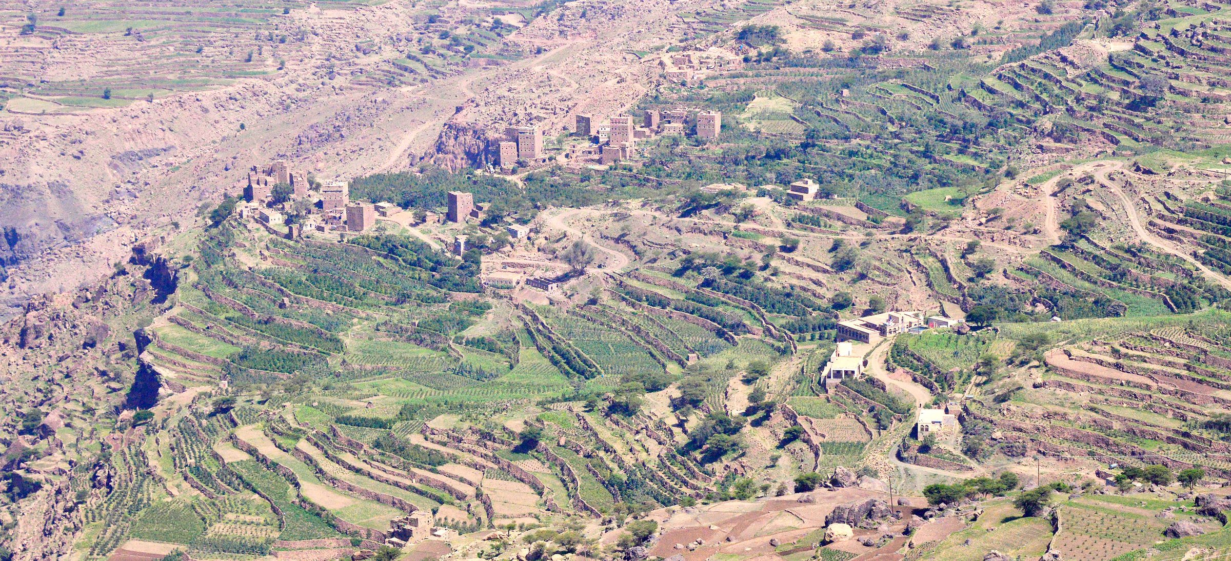
2. Manakhah to Al-Hajjarah / Haraz Village Walk
Snapshot
Itinerary
This Haraz candidate would link Manakhah with the stone village landscape around Al-Hajjarah, using old footpaths, terrace edges, and local lanes where access is permitted. Yemen Tourism’s hiking page identifies the Haraz Mountains as especially powerful mountain scenery and notes Al-Hajjarah about 5 km southwest of Manakhah.
No current safe route line or legal GPX was confirmed, so this remains a place-based candidate.
Why it is essential
Haraz is one of Yemen’s defining highland cultural landscapes: stone tower houses, terraced slopes, and mountain settlements that make walking part of the historic fabric of the region.
Equipment
Future-use only: local guide, permission from communities, sturdy shoes, water, sun protection, modest dress, and emergency communications. Current travel advisories supersede hiking planning.
Hazards and notes
- Security risk is the controlling hazard.
- Physical concerns include heat, cliff/terrace exposure, loose paths, dogs/livestock, and the need to respect private and community spaces.
Photos
Photo status: No licence-compatible image found in this pass.
| Image | Source | Author | Licence | Reuse notes | Attribution |
|---|---|---|---|---|---|
| Unresolved | Unresolved | Unresolved | Unresolved | Search Wikimedia Commons for Haraz, Manakhah, and Al-Hajjarah before publication | Unresolved |
GPX / KML links
| Source | URL | Format | Licence / terms | Reuse status |
|---|---|---|---|---|
| OpenStreetMap search | openstreetmap.org | Map/search | OSM data is ODbL | Orientation only |
External links
3. Shaharah Bridge Ridge Walk
Snapshot
Itinerary
The Shaharah candidate is a short but highly distinctive highland walk around the stone arch bridge that links two mountain-village sections across a deep gorge. Yemen Tourism has a dedicated Shaharah Bridge attraction page, and secondary sources consistently identify it as one of Yemen’s best-known mountain landmarks.
The exact public walking line, access route, and safe approach were not verified.
Why it is essential
Shaharah Bridge is an iconic mountain-engineering landmark. A careful ridge/village walk would be an essential Yemen Highlands entry if safe, legal access ever becomes realistic again.
Equipment
Future-use only: local guide, sturdy shoes, sun protection, water, modest clothing, and current security arrangements.
Hazards and notes
- Security conditions override all recreational planning.
- Physical hazards include cliff exposure, narrow bridge/paths, rockfall, heat, and remote medical access.
Photos
Photo status: No licence-compatible image found in this pass.
| Image | Source | Author | Licence | Reuse notes | Attribution |
|---|---|---|---|---|---|
| Unresolved | Unresolved | Unresolved | Unresolved | Search Wikimedia Commons for Shaharah Bridge and capture metadata before publication | Unresolved |
GPX / KML links
| Source | URL | Format | Licence / terms | Reuse status |
|---|---|---|---|---|
| OpenStreetMap search | openstreetmap.org | Map/search | OSM data is ODbL | Orientation only |
External links
4. Jabal an-Nabi Shu’ayb Summit Approach
Snapshot
Itinerary
Jabal an-Nabi Shu’ayb is the country high point and the highest mountain in the Arabian Peninsula. This pass verified the summit elevation and prominence context through peak/reference sources, but did not confirm a safe, legal, current hiking route.
The eventual publication version should identify whether the route is a road walk, a true footpath, or a restricted/telecom/military-access area before inclusion.
Why it is essential
Any Yemen Highlands list needs the country’s highest mountain. Its elevation, prominence, and position in the Haraz-Sarawat highlands make it topographically essential even though the walking route is not currently publishable.
Equipment
Future-use only: warm layer for altitude, wind shell, water, sun protection, navigation, local guide/permissions, and current security support.
Hazards and notes
- Security, restricted access, checkpoints, altitude, cold/wind, lightning, and lack of emergency services are primary hazards.
- Do not infer access from summit elevation alone.
Photos
Photo status: No licence-compatible image found in this pass.
| Image | Source | Author | Licence | Reuse notes | Attribution |
|---|---|---|---|---|---|
| Unresolved | Unresolved | Unresolved | Unresolved | Search Wikimedia Commons for Jabal an-Nabi Shu’ayb / Haraz and capture metadata before publication | Unresolved |
GPX / KML links
| Source | URL | Format | Licence / terms | Reuse status |
|---|---|---|---|---|
| OpenStreetMap search | openstreetmap.org | Map/search | OSM data is ODbL | Orientation only |
External links
5. Jabal Bura Forest and Terrace Walk
Snapshot
Itinerary
Jabal Bura is a forest-and-terrace candidate rather than a single confirmed trail. UNESCO describes Bura’a as a rugged mountainous area named after Jabal Bura’a, ranging from 200 m to 2,200 m, with deep valleys, rare and endemic plants, and traditional agroforestry. Yemen Tourism describes the southwestern slopes as one of the last extensive subtropical forest remnants in the Arabian Peninsula.
The exact day-hike line must be obtained from a local conservation authority or community guide when conditions permit.
Why it is essential
Jabal Bura adds ecological breadth to the Yemen Highlands list. It is not only stone villages and high summits; the highlands also hold rare forest refugia, terraced agriculture, and biodiversity of regional importance.
Equipment
Future-use only: local guide, sturdy shoes, water, insect protection, sun/rain protection, modest clothing, and current security arrangements.
Hazards and notes
- Security conditions are the overriding blocker.
- Physical and environmental hazards include heat at lower elevations, dense vegetation, rough terraces, wildlife/livestock, and fragile conservation areas.
Photos
Photo status: No licence-compatible image found in this pass.
| Image | Source | Author | Licence | Reuse notes | Attribution |
|---|---|---|---|---|---|
| Unresolved | Unresolved | Unresolved | Unresolved | Search Wikimedia Commons / UNESCO media for Jabal Bura or Bura’a before publication | Unresolved |
GPX / KML links
| Source | URL | Format | Licence / terms | Reuse status |
|---|---|---|---|---|
| OpenStreetMap search | openstreetmap.org | Map/search | OSM data is ODbL | Orientation only |
External links
- UNESCO Silk Roads — Bura’a biosphere reserve profile
- UNESCO MAB — Bura’a
- UNESCO World Heritage tentative list — Jabal Bura
- Yemen Tourism Promotion Board — Jabal Bura
External links
| Source | URL |
|---|---|
| U.S. State Department — Yemen travel advisory | travel.state.gov |
| UK FCDO — Yemen travel advice | gov.uk |
| UNESCO tentative list — Shibam Kawkaban | whc.unesco.org |
| UNESCO tentative list — Jabal Bura | whc.unesco.org |
| UNESCO Silk Roads — Bura’a biosphere reserve profile | en.unesco.org |
| UNESCO MAB — Bura’a | unesco.org |
| Yemen Tourism Promotion Board — Trekking and Hiking | yementourism.com |
| Yemen Tourism Promotion Board — Shaharah Bridge | yementourism.com |
| Yemen Tourism Promotion Board — Jabal Bura | yementourism.com |
| Peakbagger — Jabal an Nabi Shu’ayb | peakbagger.com |
| Mapy — Jabal an-Nabi Shu’ayb summit context | mapy.com |