The West Highland Way is a 96-mile / 154-km long-distance walking route from Milngavie, north of Glasgow, to Fort William in the Scottish Highlands. The route is normally walked from south to north, allowing the gentler southern stages to build towards the more remote and demanding Highland terrain.
Key facts
Overview
The West Highland Way passes through country parks, loch shores, oak woodland, open moorland, old military roads, and mountain passes. It is divided into eight main sections, but these should be treated as planning units rather than fixed walking days. Daily distances should be chosen according to fitness, accommodation availability, transport options, and time available for detours or points of interest.
Getting to and from the route
The traditional start is the obelisk on Douglas Street in Milngavie. The finish is marked by the West Highland Way Walker statue in Gordon Square, Fort William.
Milngavie has regular train services from Glasgow, while Fort William is linked to Glasgow by train and coach. Intermediate transport points include Ardlui, Crianlarich, Tyndrum, Bridge of Orchy, Inverarnan, Glen Coe, and Ballachulish, making it possible to split the route into shorter sections.
Parking is limited. There is no dedicated long-stay car park at either end. Walkers using a vehicle should arrange parking in advance with accommodation providers where possible, or use public transport for the start and finish.
Suggested itinerary
| Day | Section | Distance |
|---|---|---|
| 1 | Milngavie to Drymen | 12 miles / 19 km |
| 2 | Drymen to Rowardennan | 15 miles / 24 km |
| 3 | Rowardennan to Inverarnan | 14 miles / 22.5 km |
| 4 | Inverarnan to Tyndrum | 12 miles / 19.5 km |
| 5 | Tyndrum to Inveroran | 9 miles / 14.5 km |
| 6 | Inveroran to Kinlochleven | 19 miles / 30.5 km |
| 7 | Kinlochleven to Fort William | 15 miles / 24 km |
The official site suggests common schedules of 5, 6, or 7 days, with shorter weekend and 3 – 4 day section options also possible. Accommodation can be limited in some areas, so advance booking is strongly recommended. The northern Loch Lomond section, particularly Inversnaid to Inverarnan, is slower and rougher than many walkers expect and should be allowed extra time.
Route sections
1. Milngavie to Drymen — 12 miles / 19 km
Character: A gentle opening stage on footpaths, tracks, lanes, and low-level countryside.
Terrain: Relatively easy, with no major climbs; height range 19 – 140 m.
Services: Milngavie, Mugdock Country Park, Dumgoyne, Drymen.
Highlights: Mugdock Country Park, Dumgoyach Standing Stones, Glengoyne Distillery.
Notes: Drymen lies just off the official through-route but is commonly used for accommodation, food, and supplies. Leaving Drymen enters the Loch Lomond & The Trossachs National Park camping management zone, where camping and firelighting byelaws apply from 1 March to 30 September.
2. Drymen to Rowardennan — 15 miles / 24 km
Character: A transition from farmland and forest into classic Loch Lomond scenery.
Terrain: Mostly good paths and tracks, with the main ascent over Conic Hill; a low-level alternative exists. Height range 9 – 325 m.
Services: Drymen, Balmaha, Rowardennan.
Highlights: Conic Hill, the Highland Boundary Fault, Balmaha, Inchcailloch, Ben Lomond, Ardess Hidden History Trail.
Notes: Camping byelaws apply in this area from 1 March to 30 September. Dogs are not allowed in the two enclosed fields on the east approach to Conic Hill during lambing season, even on a lead.
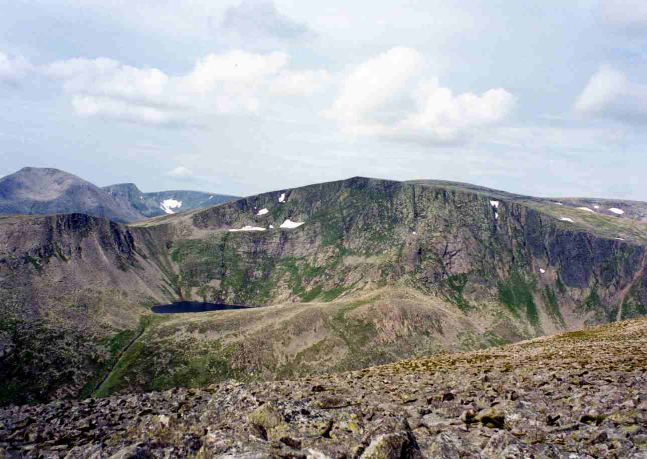
3. Rowardennan to Inverarnan — 14 miles / 22.5 km
Character: The wildest and most difficult Loch Lomond section.
Terrain: Begins on forestry track, then becomes rougher with rocky path, crags, boulders, and awkward footing north of Inversnaid. Height range 7 – 105 m.
Services: Rowardennan, Inversnaid, Ardlui, Inverarnan.
Highlights: Inversnaid waterfall, Rob Roy's Prison, Rob Roy's Cave, Inversnaid RSPB reserve.
Notes: Burn crossings may be impassable during or after heavy rain. The terrain north of Inversnaid requires care and is slow-going. Seasonal waterbus and ferry options can help with accommodation on the western shore of Loch Lomond.
4. Inverarnan to Tyndrum — 12 miles / 19.3 km
Character: A change from lochside roughness to glen walking, riverside paths, and mountain views.
Terrain: Mainly well-surfaced paths and old military road, with moderate hills. Height range 17 – 336 m.
Services: Inverarnan, Crianlarich, Tyndrum.
Highlights: River Falloch, Falls of Falloch, Crianlarich spur path, St Fillan's Priory, River Cononish.
Notes: Crianlarich is bypassed by the main route but reached by a spur path for shops, accommodation, and transport.
5. Tyndrum to Inveroran — 9 miles / 14.5 km
Character: A shorter, scenic glen stage leading into more remote Highland country.
Terrain: Good path throughout, with a few climbs and descents. Height range 157 – 329 m.
Services: Tyndrum, Bridge of Orchy, Inveroran.
Highlights: Beinn Odhar, Beinn Dorain, Kinglass Viaduct, Loch Tulla.
Notes: Tyndrum is the final major resupply point before Kinlochleven, 28 miles farther along the route.
6. Inveroran to Kingshouse — 10 miles / 16 km
Character: A classic crossing of Rannoch Moor, exposed and remote.
Terrain: Good track on old road surfaces, but very exposed in poor weather. Height range 168 – 446 m.
Services: Glencoe Mountain Resort, Kingshouse Hotel and Bunkhouse.
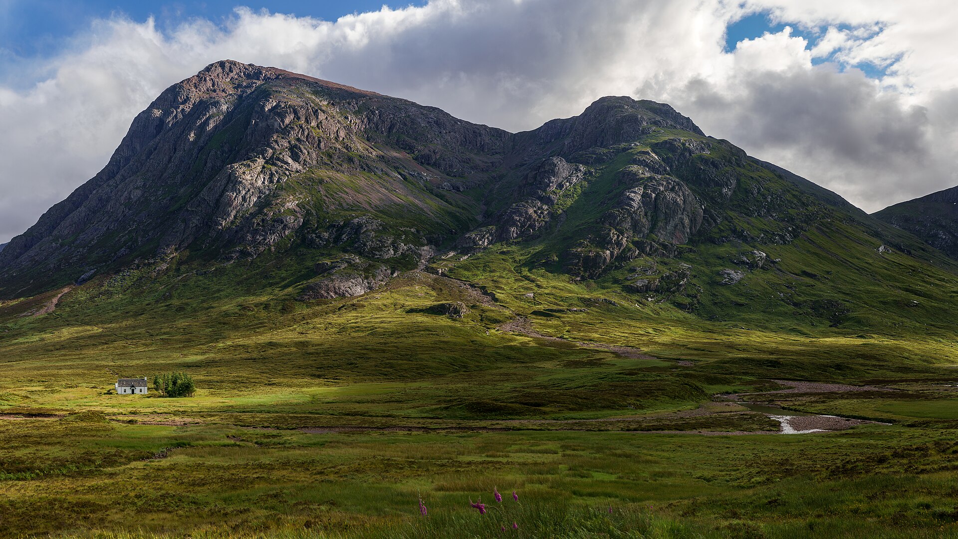
Highlights: Rannoch Moor, Ba Bridge, Black Rock Cottage, Buachaille Etive Mòr.
Notes: There is little shelter across Rannoch Moor until the ski centre area, so weather and clothing matter more here than the modest distance suggests.
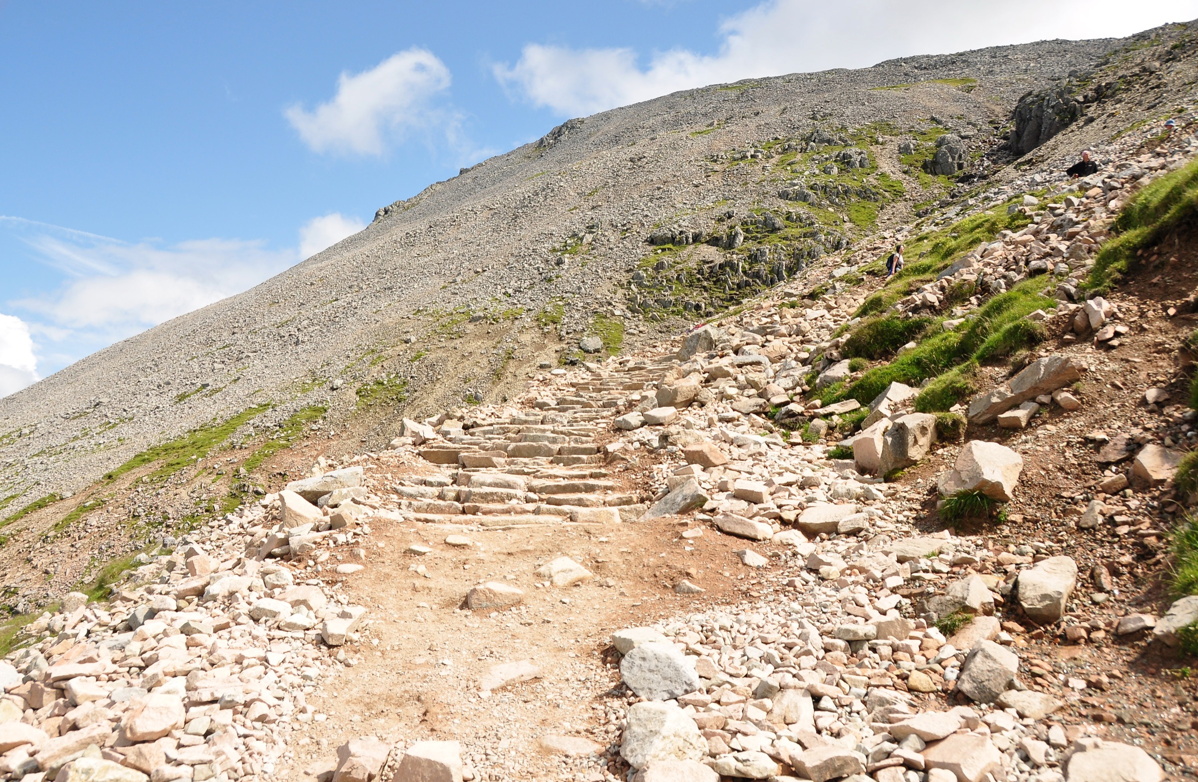
7. Kingshouse to Kinlochleven — 9 miles / 14.5 km
Character: A dramatic mountain stage crossing the highest point of the West Highland Way.
Terrain: Clear and generally good underfoot, but stony and exposed, especially before the descent to Kinlochleven. Height range 5 – 551 m.
Services: Kinlochleven.
Highlights: Buachaille Etive Mòr, Glen Coe, Devil's Staircase, Mamores views, Ice Factor in Kinlochleven.
Notes: The Devil's Staircase climbs to roughly 550 m and is the route's high point. Conditions can change quickly on the exposed moorland beyond.
8. Kinlochleven to Fort William — 15 miles / 24 km
Character: A final mountain-pass stage through Lairigmor and Glen Nevis to Fort William.
Terrain: Steep initial climb, rougher walking through Lairigmor, undulating path through Lundavra and Glen Nevis, then tarmac into Fort William. Height range 5 – 336 m.
Services: Fort William.
Highlights: Loch Leven views, Lairigmor, Dun Deardail, Ben Nevis, Glen Nevis, Gordon Square finish.
Notes: The finish is in the centre of Fort William, marked by the bronze walker statue.
Multi-use access
The West Highland Way was created as a walking route, although cyclists and horse riders have access rights in Scotland when used responsibly. Not every section is suitable for multi-use. The north-east Loch Lomond path is especially restrictive, with the Inversnaid to Inverarnan section described as impassable with a horse and very difficult by bike.
Other sections, such as parts of the Tyndrum to Bridge of Orchy route and the old drove road across Rannoch Moor, are more suitable. Official multi-use notes highlight local restrictions and alternatives, including the Conic Hill alternative for horses, the public-road alternative between Balmaha and Rowardennan, and the improved multi-use accessibility on the Kinlochleven to Fort William section.
Route notices and seasonal restrictions
Before setting out, walkers should check the official notices page for temporary closures, wildfire risk, water guidance, bridge works, lambing restrictions, and path diversions.
Camping and firelighting byelaws apply in parts of Loch Lomond & The Trossachs National Park from 1 March to 30 September. Seasonal lambing restrictions affect the area near Conic Hill. Burn crossings can become impassable during or after heavy rain. Exposed conditions are common on Rannoch Moor and the Devil's Staircase.
Route files and downloads
| Section | GPX | KMZ |
|---|---|---|
| Milngavie to Drymen | GPX | KMZ |
| Drymen to Rowardennan | GPX | KMZ |
| Rowardennan to Inverarnan | GPX | KMZ |
| Inverarnan to Tyndrum | GPX | KMZ |
| Tyndrum to Inveroran | GPX | KMZ |
| Inveroran to Kingshouse | GPX | KMZ |
| Kingshouse to Kinlochleven | GPX | KMZ |
| Kinlochleven to Fort William | GPX | KMZ |
The GPX links are hosted by Walkhighlands and may require acceptance of download terms before the route file is provided. KMZ exports are available for Google Earth.
Official PDF
A full downloadable PDF route map was not found on the official route pages checked.