Regional overview
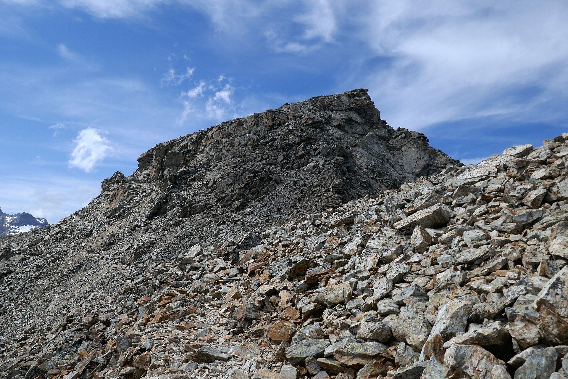
The Annamite Range forms a long, biodiverse mountain spine along Vietnam and Laos, with day-hiking concentrated in national parks, protected karst, and highland forest reserves rather than on one continuous public trail network. The strongest day walks come from Vietnam’s Bach Ma, Bidoup Nui Ba / Lang Biang, Pu Luong, and Phong Nha-Ke Bang areas, plus Laos’ Hin Nam No Houay Hok Trail.
UNESCO’s Phong Nha-Ke Bang and Hin Nam No listing is especially relevant because the 2025 transboundary extension connects Vietnam’s karst World Heritage landscape with Laos’ Hin Nam No National Park. The region’s key hiking cautions are tropical heat, slippery wet-season trails, leeches, flash floods, cave safety, protected-area permits, and guide requirements.
Selection rationale
The five hikes below give a spread across wet forest waterfall walking, highland summit/viewpoint walking, limestone karst, village-supported conservation trekking, and northern Annamite-adjacent rice/forest terrain. Four routes have AllTrails source-map statistics; the Hin Nam No route is documented by the protected-area website and requires a village guide.
Summary table
| # | Hike | Country | Route type | Distance | Gain | Max elevation | Difficulty |
|---|---|---|---|---|---|---|---|
| 1 | Bach Ma: Five Lakes / Do Quyen Waterfall | Vietnam | Out and back | 4.7 km | 730 m | Not resolved | Hard |
| 2 | Lang Biang via Radar Peak | Vietnam | Out and back | 11.9 km | 833 m | Not resolved | Hard |
| 3 | Pu Luong Loop | Vietnam | Loop | 20.3 km | 831 m | Not resolved | Hard |
| 4 | Phong Nha Botanical Garden Loop | Vietnam | Loop | 3.2 km | 190 m | Not resolved | Moderate |
| 5 | Hin Nam No: Houay Hok Long Trail | Laos | Loop / guided village trail | 12 km | Not resolved | Not resolved | Moderate-hard |
1. Bach Ma: Five Lakes / Do Quyen Waterfall
Snapshot
Itinerary
The route links the Five Lakes stream section with the descent/viewing area for Do Quyen Waterfall in Bach Ma National Park. Expect wet rock, stream pools, forest, steep stairs or ladders/ropes depending the current trail condition, and a humid tropical microclimate.
AllTrails currently labels its Do Quyen Waterfall entry as closed. Before publication or use, confirm with Bach Ma National Park whether the exact trail, waterfall stairway, and road access are open.
Why it is essential
Bach Ma is one of the clearest day-hike expressions of the Vietnamese Annamites: cloud forest, streams, waterfalls, and steep protected-area trails close to the coast.
Equipment
- Grippy shoes that can get wet
- Rain shell
- Dry bag
- Insect protection
- Water
- Snacks
- Headlamp backup
- Trekking poles may help but can be awkward on ladders or fixed sections
Hazards and notes
- Slippery rock, flash flooding, leeches, broken steps/handrails, cliff exposure near waterfall viewpoints, and closure status are the main hazards.
- Do not enter closed trail sections.
GPX / KML links
| Source | URL | Format / access | Reuse status |
|---|---|---|---|
| AllTrails: Do Quyen Waterfall [CLOSED] | alltrails.com | Source map / app route | AllTrails terms apply; GPX reuse not verified; statistics and closure flag only |
| OpenStreetMap search | openstreetmap.org | Map / search | OSM data is ODbL; geometry cross-check only |
External links
- AllTrails — Do Quyen Waterfall
- Central Vietnam Guide — Bach Ma National Park
- Phong Nha Locals — Do Quyen / Five Lakes
2. Lang Biang via Radar Peak
Snapshot
Itinerary
This route climbs from the Lang Biang tourist area through pine/highland forest and road or trail sections to the Radar Peak viewpoint. The walking line should be checked locally because vehicle roads, tourist access, and hiking paths may overlap or change.
The route is long enough to feel like a real highland hike, but close enough to Da Lat to be a practical day trip.
Why it is essential
Lang Biang is the accessible highland emblem of the southern Annamite fringe: cooler air, pine forest, views over Da Lat’s plateau country, and a clear contrast to the humid limestone parks farther north.
Equipment
- Trail shoes
- Sun/rain protection
- Water
- Snacks
- Light warm layer for wind or cloud at the top
Hazards and notes
- Traffic on shared road sections, mud after rain, slippery roots, heat on exposed stretches, and tourist-area access rules are the main issues.
GPX / KML links
| Source | URL | Format / access | Reuse status |
|---|---|---|---|
| AllTrails: Lang Biang via Radar Peak | alltrails.com | Source map / app route | AllTrails terms apply; GPX reuse not verified; statistics and source-map only |
| OpenStreetMap search | openstreetmap.org | Map / search | OSM data is ODbL; geometry cross-check only |
External links
3. Pu Luong Loop
Snapshot
Itinerary
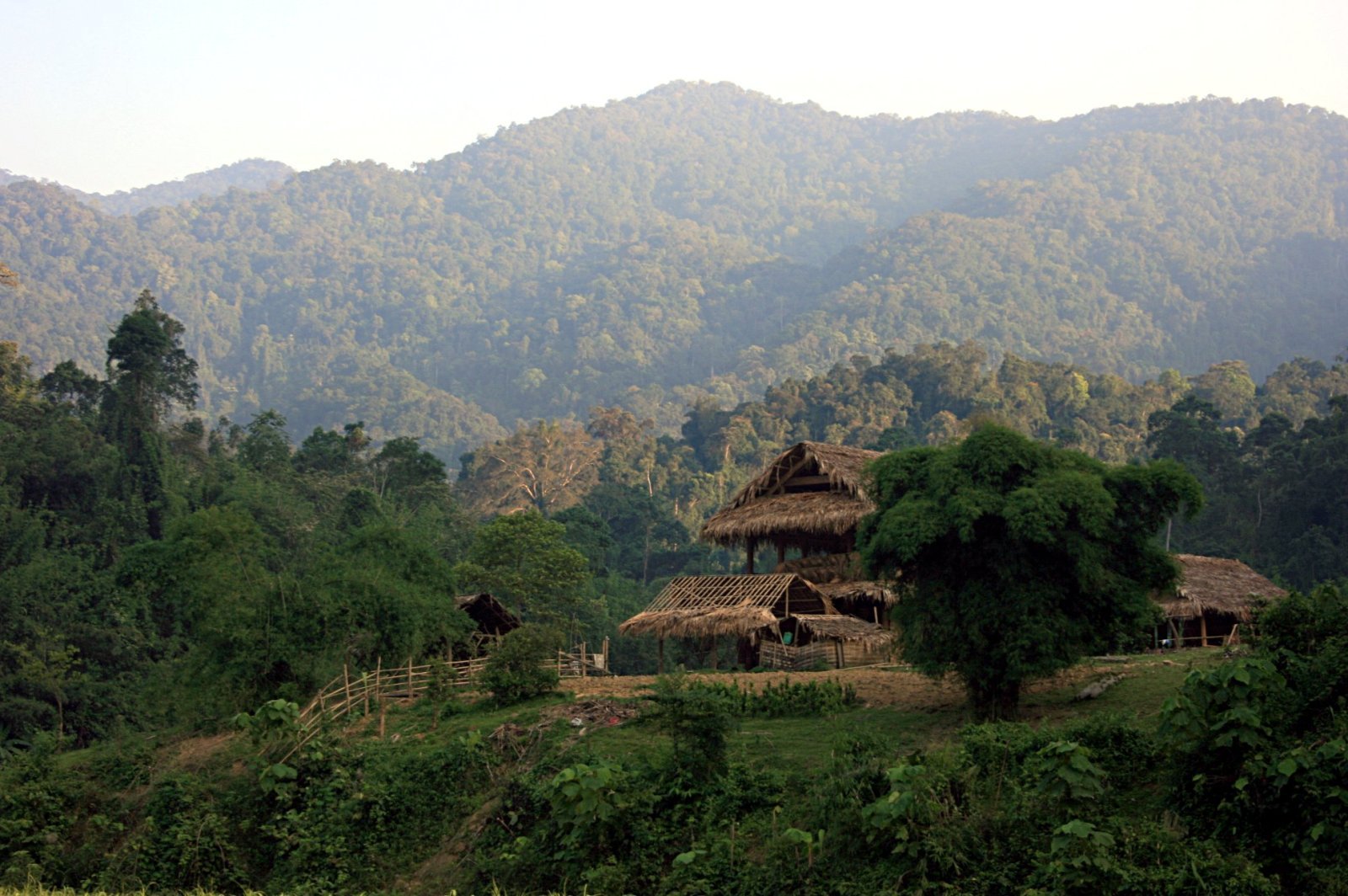
The Pu Luong loop uses village paths, forest sections, terraced-valley climbs, and partially paved links through the reserve landscape. With more than 20 km and over 800 m of gain, it is a long day rather than a casual village stroll.
The exact route should be checked with accommodation or local guides because footpaths through villages and fields can change, and responsible access matters.
Why it is essential
Pu Luong adds the human landscape of the Annamite margins: terraced valleys, forested limestone hills, village routes, and a full-day walking rhythm distinct from national-park viewpoint hikes.
Equipment
- Breathable hiking clothes
- Rain protection
- Grippy shoes
- Insect protection
- 2 litres or more water
- Snacks/lunch
- Offline navigation
Hazards and notes
- Heat, humidity, slippery clay, dogs, leeches, stream crossings, and village/field access sensitivity are the main issues.
- Ask before crossing private yards or active agricultural areas.
GPX / KML links
| Source | URL | Format / access | Reuse status |
|---|---|---|---|
| AllTrails: Pu Luong Loop | alltrails.com | Source map / app route | AllTrails terms apply; GPX reuse not verified; statistics and source-map only |
| OpenStreetMap search | openstreetmap.org | Map / search | OSM data is ODbL; geometry cross-check only |
External links
4. Phong Nha Botanical Garden Loop
Snapshot
Itinerary
The Botanical Garden loop is shorter than the usual 5-25 km target, but it is one of the most accessible marked forest walks inside the Phong Nha-Ke Bang karst landscape. The loop visits forest, stream/waterfall features, and wildlife/plant interpretation around the visitor site.
It should be treated as a short essential walk, especially useful for travellers who cannot join longer cave treks or who need a lower-commitment Annamite karst forest route.
Why it is essential
Phong Nha-Ke Bang is central to any Annamite catalogue. This loop is not the longest route, but it gives a legal, repeatable, national-park walking experience inside the World Heritage landscape.
Equipment
- Grippy shoes
- Rain layer
- Insect protection
- Water
- Camera/binoculars if watching wildlife
Hazards and notes
- Slippery boardwalks/rocks, leeches, wet-season water levels, and park opening hours are the main concerns.
- Stay on marked paths and follow park guidance.
GPX / KML links
| Source | URL | Format / access | Reuse status |
|---|---|---|---|
| AllTrails: Phong Na Botanical Garden Loop | alltrails.com | Source map / app route | AllTrails terms apply; GPX reuse not verified; statistics and source-map only |
| OpenStreetMap search | openstreetmap.org | Map / search | OSM data is ODbL; geometry cross-check only |
External links
5. Hin Nam No: Houay Hok Long Trail
Snapshot
Itinerary
The Houay Hok Long Trail follows the stream system from Ban Thong Xam, crosses a sandstone ridge, reaches the Nam Awk / Nam Ork resurgence cave, then returns downstream through cave and stream features including Tham Nok Aen and Tham Pak Tham. Hin Nam No’s route page states that a village guide is required.
The trail is a conservation tourism product: guide fees support village participation in forest protection. It is not a self-guided cave walk.
Why it is essential
This is the strongest Laos entry for the Annamite catalogue: a protected-area trail where limestone karst, caves, langur habitat, stream walking, and village co-management all shape the day.
Equipment
- Closed footwear that can get wet
- Headlamp/flashlight
- Spare batteries
- Dry bag
- Water
- Lunch
- Insect protection
- Clothing suitable for cave and stream sections
Hazards and notes
- Caves, cold water, flash floods, slippery rock, wildlife disturbance, and wet-season closure are the main hazards.
- The official page asks visitors to hire a local guide, pack out rubbish, avoid taking plants or wildlife products, and keep noise down around wildlife and bats.
GPX / KML links
| Source | URL | Format / access | Reuse status |
|---|---|---|---|
| Hin Nam No: Nature Trails on foot | hinnamno.org | Official route description | Site terms apply; no downloadable GPX found; distance/time and access rules only |
| OpenStreetMap search | openstreetmap.org | Map / search | OSM data is ODbL; orientation only |
External links
- Hin Nam No — Nature Trails on foot / Houay Hok Trail
- UNESCO — Phong Nha-Ke Bang and Hin Nam No World Heritage listing
- Hin Nam No — Co-Management Plan 2016-2020 (PDF)
Missing data / follow-up work
- Confirm Bach Ma trail reopening/closure status directly with the park before publication.
- Capture exact photo metadata for all five hikes.
- Resolve maximum elevations and descent figures for AllTrails-sourced routes.
- Confirm whether Pu Luong loop footpaths cross private or seasonally restricted land.
- Obtain any official Phong Nha and Hin Nam No route files only if licence allows reuse.
External links
| Source | URL |
|---|---|
| UNESCO — Phong Nha-Ke Bang and Hin Nam No National Park | whc.unesco.org |
| Hin Nam No — Nature Trails on foot | hinnamno.org |
| Hin Nam No — Co-Management Plan 2016-2020 (PDF) | hinnamno.org |
| AllTrails — Do Quyen Waterfall | alltrails.com |
| AllTrails — Lang Biang via Radar Peak | alltrails.com |
| AllTrails — Pu Luong Loop | alltrails.com |
| AllTrails — Phong Na Botanical Garden Loop | alltrails.com |
| Central Vietnam Guide — Bach Ma National Park | centralvietnamguide.com |
| Phong Nha Locals — Do Quyen / Five Lakes | phongnhalocals.com |