Regional overview
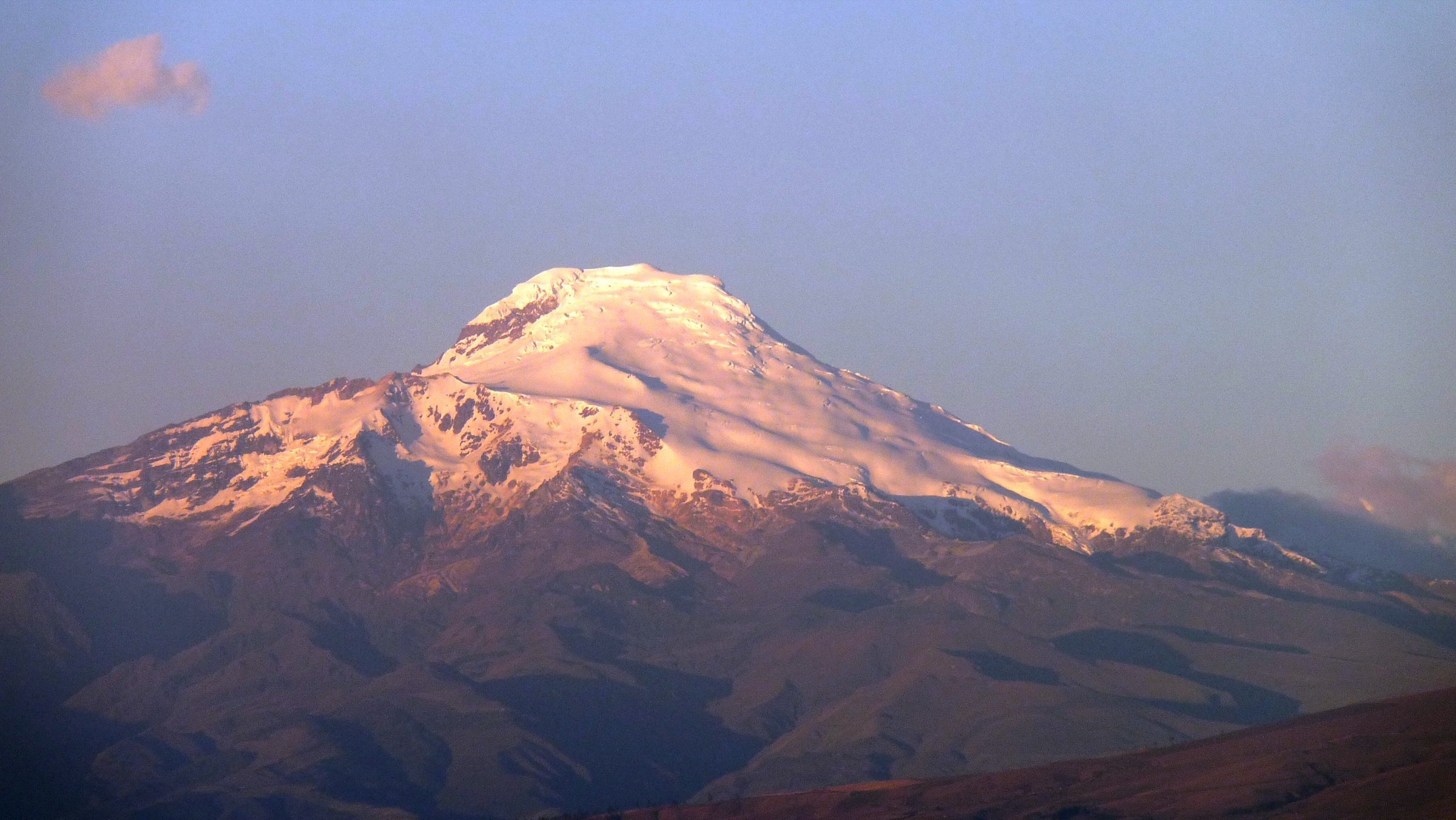
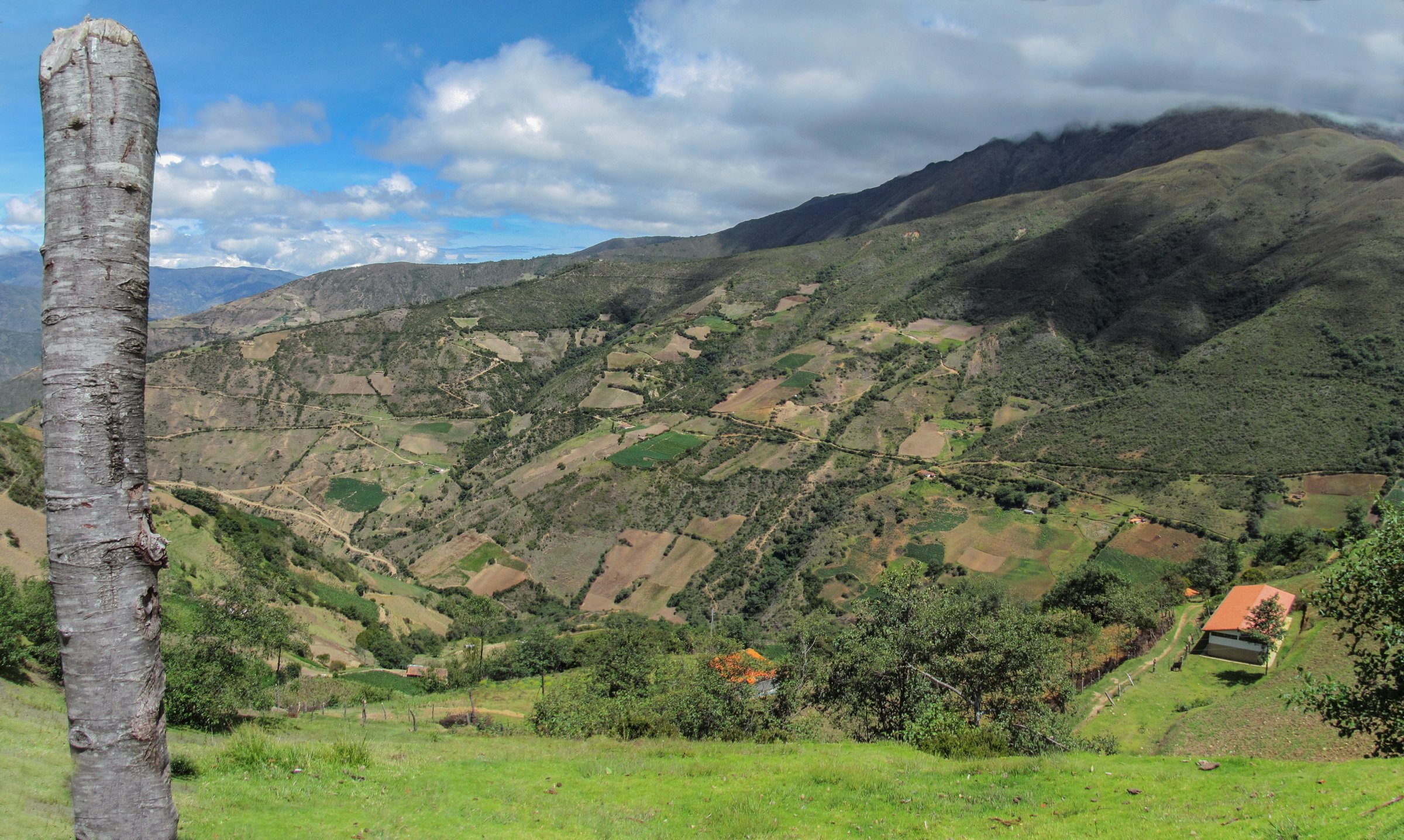
The Sierra Nevada de Mérida is Venezuela’s highest mountain group, with glaciated and formerly glaciated peaks, deep cloud-forest valleys, paramo, high lakes and the Mukumbarí cable-car corridor above Mérida city. The main walking gateways are La Mucuy, Laguna de Mucubají / Apartaderos, Gavidia, Los Nevados and the Loma Redonda / Pico Espejo cable-car stations.
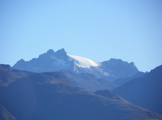
The hiking character is high-altitude and weather-sensitive. Several day routes begin above 3,500 m, and cable-car assisted walks can reach 4,700 m very quickly. Cloud, hail, cold wind, poor visibility and altitude illness are normal planning factors. Snow, ice or summit terrain around Pico Bolívar, Humboldt, Bonpland, La Concha, El Toro and El León is outside this day-hike selection unless approached only as distant scenery.
Selection rationale
The five hikes below represent the core Sierra Nevada experiences: a classic roadside paramo lake walk, the La Mucuy cloud-forest-to-lagoon ascent, the old cultural traverse between Los Nevados and Loma Redonda, the cable-car high-mountain lake zone, and the remote Gavidia / Laguna Santo Cristo landscape. Technical peak ascents and multi-day traverses are excluded.
Summary table
| # | Hike | Country | Route type | Distance | Gain | Max elevation | Difficulty |
|---|---|---|---|---|---|---|---|
| 1 | Laguna de Mucubají - Laguna Negra | Venezuela | Out-and-back / extension possible | approx. 6-8 km to Laguna Negra; 20.46 km for Los Patos source variant | approx. 150-400 m main route; 686 m source variant | approx. 3,741 m on source variant | Moderate by altitude |
| 2 | La Mucuy - Laguna La Coromoto | Venezuela | Out-and-back | approx. 22 km if returning to La Mucuy | approx. 1,420 m | approx. 3,300-3,500 m, to verify | Hard |
| 3 | Loma Redonda - Los Nevados Traverse | Venezuela | Point-to-point | approx. 14 km | approx. 240 m ascent / 1,590 m descent if descending from Loma Redonda | approx. 4,231 m | Hard |
| 4 | Loma Redonda / Pico Espejo - Laguna Los Anteojos | Venezuela | Flexible out-and-back | approx. 3-5 km, route to confirm | approx. 100-300 m | 4,045 m from Loma Redonda; 4,765 m if using Pico Espejo station | Moderate-hard by altitude |
| 5 | Gavidia - Laguna Santo Cristo | Venezuela | Loop / out-and-back variants | 22.4 km source loop | 1,076 m | 4,092 m | Hard |
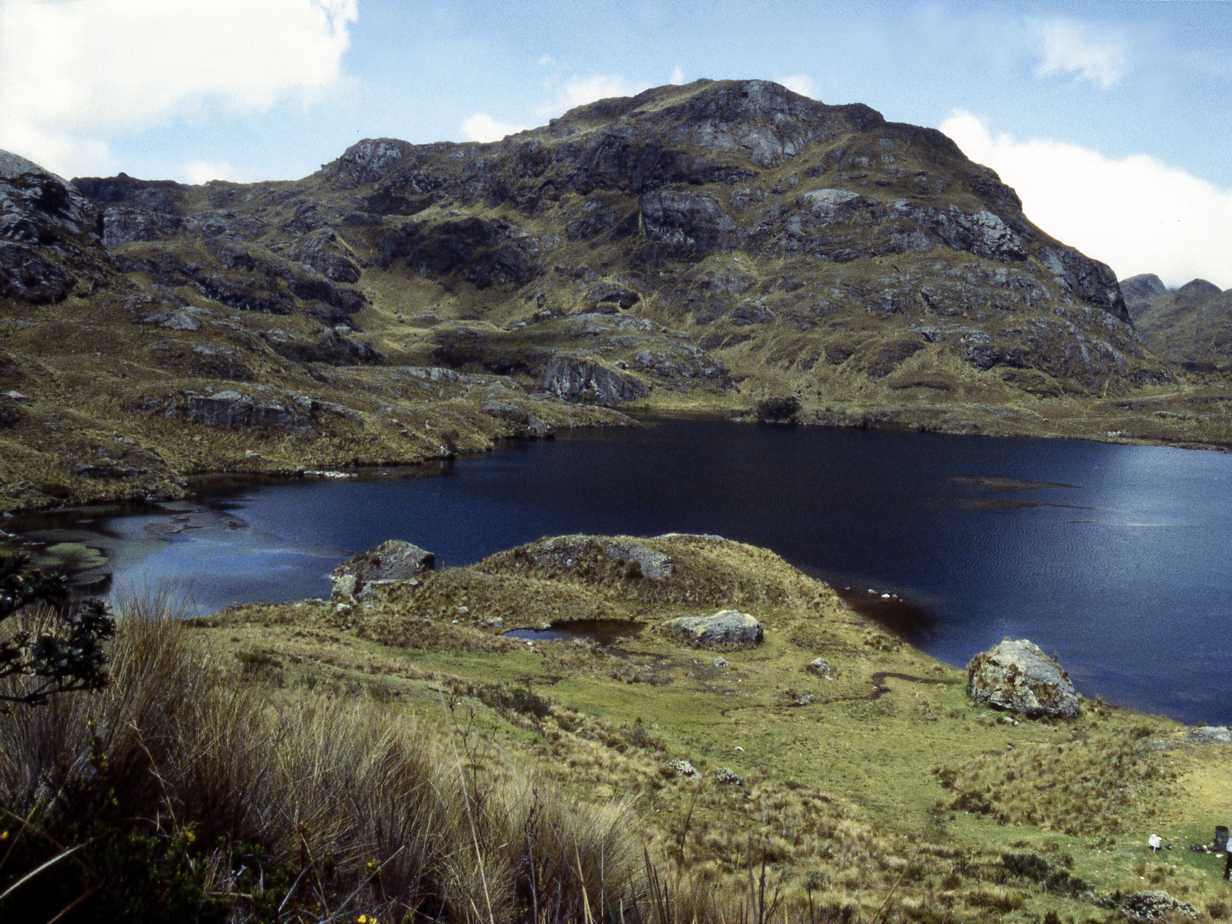
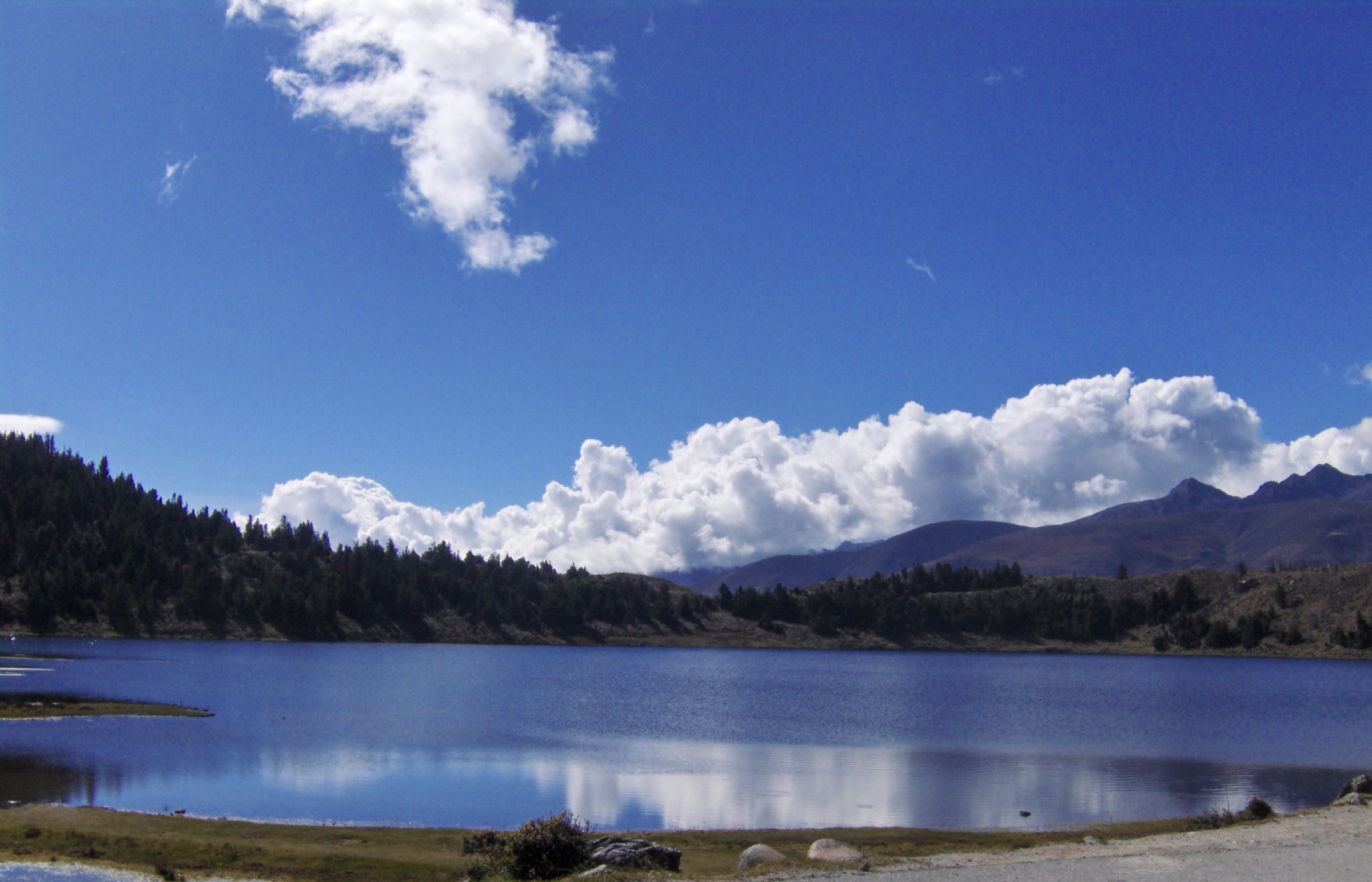
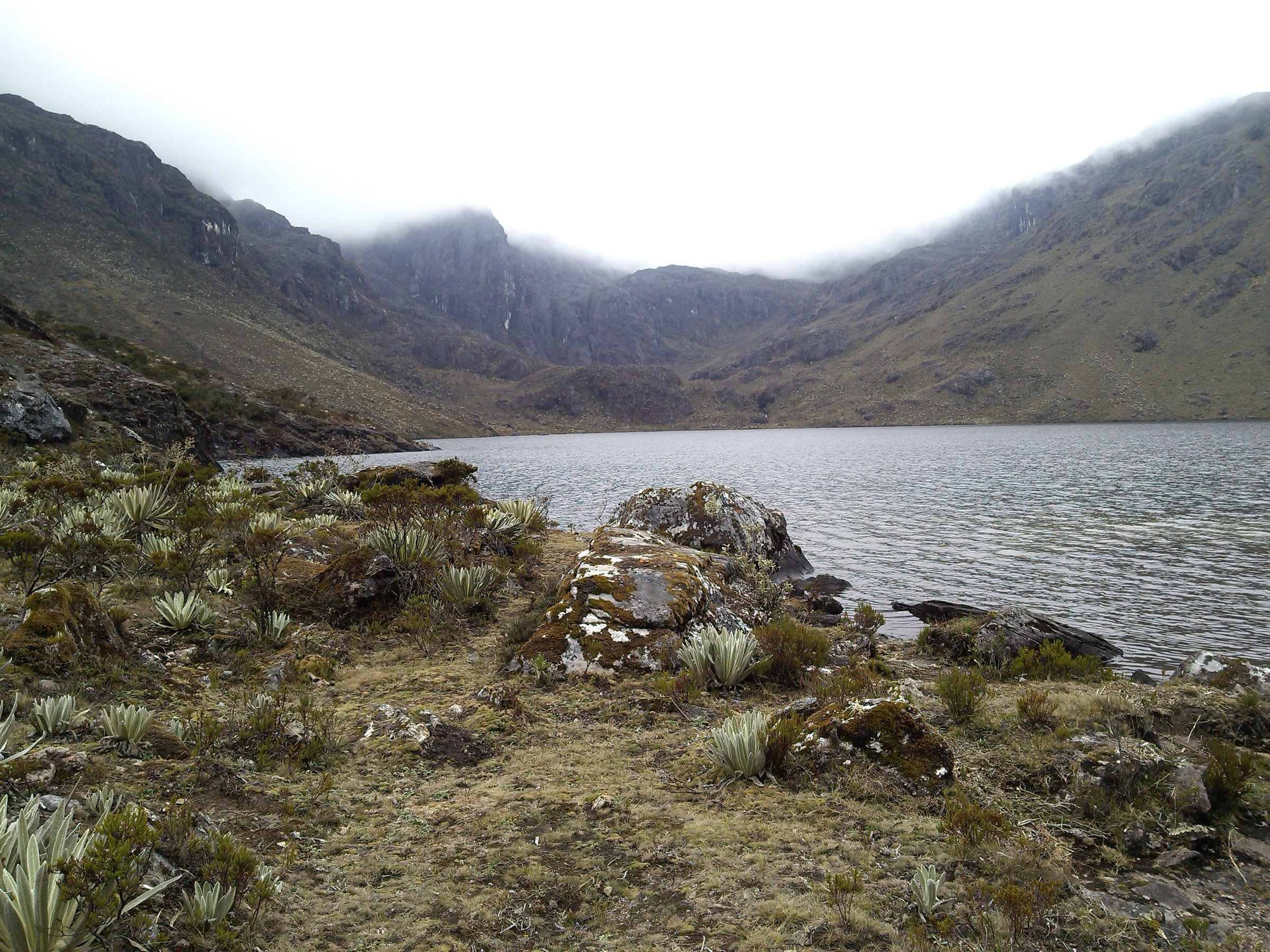
1. Laguna de Mucubají - Laguna Negra
Snapshot
Itinerary
From the Mucubají recreation area, follow the established lake route through open paramo and morainic ground toward Laguna Negra. The normal day objective is the return walk between the two lakes. The longer Wikiloc route continues toward Laguna Los Patos, but the route author notes route-finding issues and slippery rock/stream sections; it should not be treated as the standard family lake walk.
Why it is essential
Mucubají and Laguna Negra are the best-known accessible paramo lakes in the Sierra Nevada, giving a concise introduction to frailejones, glacial landforms and cold high-Andean weather without committing to a remote summit route.
Equipment
Waterproof hiking footwear, warm layer, windproof/waterproof shell, sun hat, gloves, water, food, offline map/GPS and cash for local access services. Trekking poles are useful on wet ground.
Hazards and notes
Altitude, cold wind, fog and boggy ground are the main issues. Do not assume the Los Patos extension is waymarked or suitable for beginners. Confirm current access, guides, horses and protected-area requirements at Mucubají.
GPX / KML links
| Source | URL | Format / access | Reuse status |
|---|---|---|---|
| Wikiloc: Laguna de Mucubají - Laguna la Negra - Laguna los Patos | es.wikiloc.com | Source map / downloadable route via Wikiloc | Wikiloc terms apply; source-map reference only |
| OpenStreetMap search: Laguna de Mucubají | openstreetmap.org | Map geometry cross-check | OSM data is ODbL; geometry cross-check only |
External links
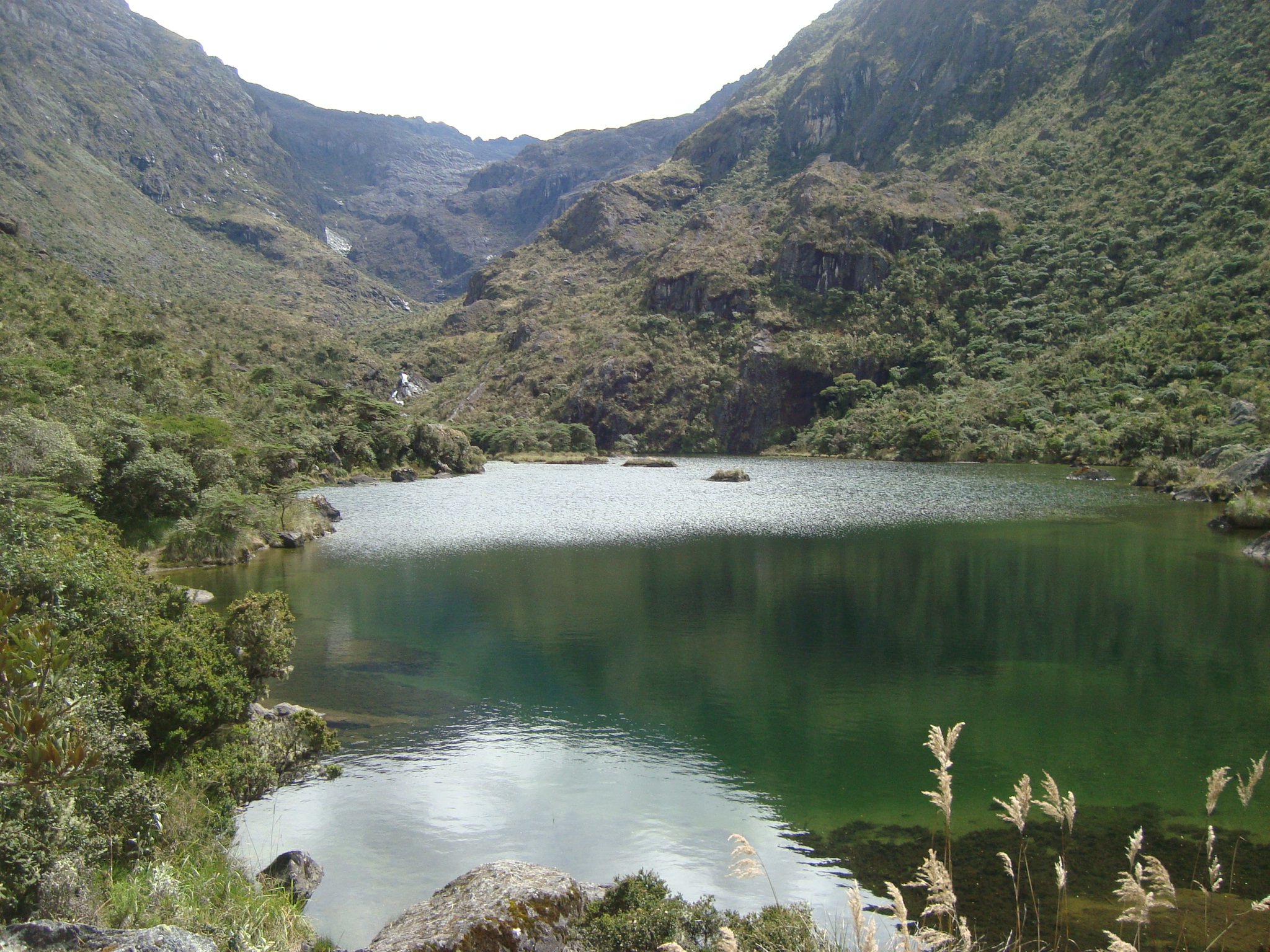
2. La Mucuy - Laguna La Coromoto
Snapshot
Itinerary
The route climbs from the La Mucuy recreation area through humid montane forest and upper valley terrain toward Laguna La Coromoto. Strong parties sometimes continue toward Laguna Verde and the Humboldt / Bonpland approaches, but those continuations are mountaineering or multi-day objectives and are excluded here.
Why it is essential
This is the classic Sierra Nevada ascent from cloud forest to a high glacial lake. It shows the vertical ecological transition of the range better than the road-accessed paramo lake walks.
Equipment
Full mountain day kit: boots, waterproofs, warm clothing, sun protection, headtorch, food, water treatment, offline map/GPS and emergency layer. A local guide is strongly recommended unless the party already knows the route.
Hazards and notes
The ascent is long, humid lower down and cold higher up. River crossings, mud, fog and route-finding errors are possible. Start early and confirm INPARQUES access, camping restrictions and local guide availability.
GPX / KML links
| Source | URL | Format / access | Reuse status |
|---|---|---|---|
| Wikiloc: La Isla area listings including Laguna La Coromoto | es.wikiloc.com | Source-map / listing | Wikiloc terms apply; source-map reference only |
| OpenStreetMap search: La Mucuy Laguna Coromoto | openstreetmap.org | Map geometry cross-check | OSM data is ODbL; geometry cross-check only |
External links
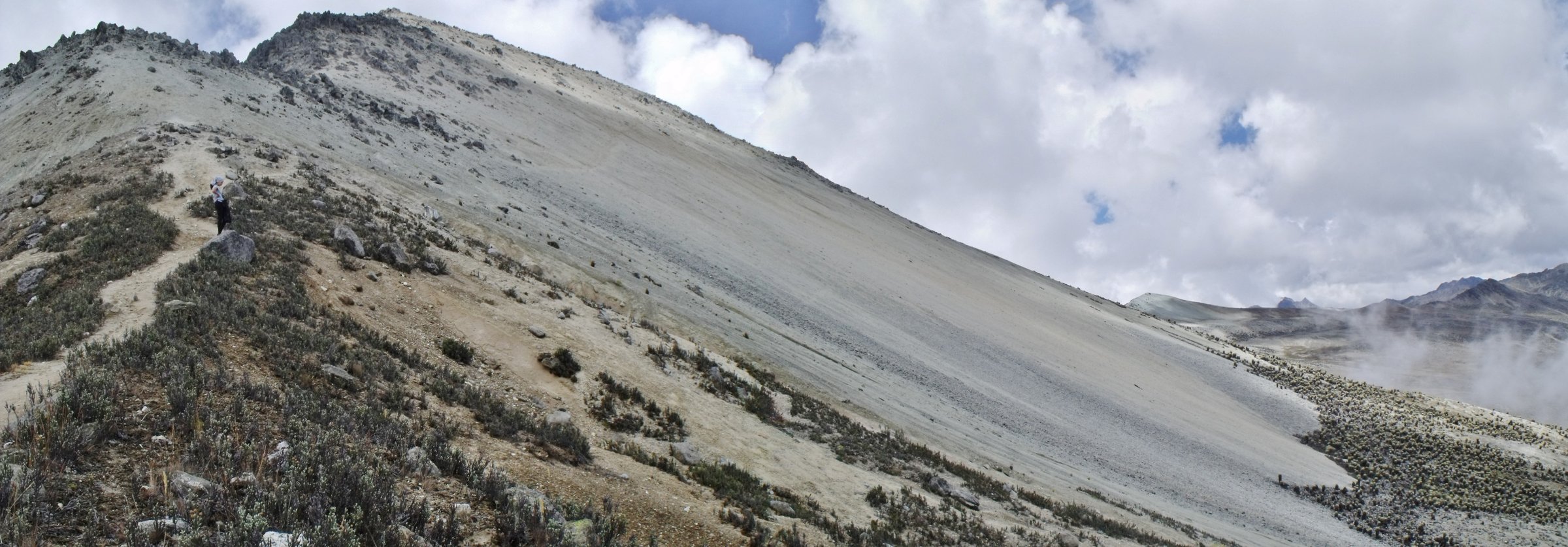
3. Loma Redonda - Los Nevados Traverse
Snapshot
Itinerary
Using the cable car, start high at Loma Redonda and walk the traditional route over the high paramo divide toward Alto de la Cruz and Los Nevados. The reverse direction is a severe uphill day from the village to the cable-car station. Several Wikiloc tracks record this route in reverse or as part of longer multi-day Sierra Nevada traverses, so the day-hike statistics have been normalised for a Loma Redonda-to-Los Nevados descent.
Why it is essential
This is the signature cultural traverse of the range: a high paramo crossing linking the modern cable-car system with one of the best-known mountain villages in Mérida.
Equipment
Mountain hiking kit, warm clothing, waterproof shell, sun protection, offline map/GPS, headtorch and enough food/water for a long descent. Arrange transport from Los Nevados in advance.
Hazards and notes
Cable-car opening, last descent times and weather can change the day. Fog can make navigation serious. The route involves sustained descent and remote sections; do not rely on being able to improvise transport from Los Nevados.
GPX / KML links
| Source | URL | Format / access | Reuse status |
|---|---|---|---|
| Wikiloc: De los Nevados Mérida hasta la estación del teleférico Loma Redonda | es.wikiloc.com | Source map / downloadable route via Wikiloc | Wikiloc terms apply; source-map reference only |
| Wikiloc: Los Nevados area listings | es.wikiloc.com | Source-map / listing | Wikiloc terms apply; source-map reference only |
External links
4. Loma Redonda / Pico Espejo - Laguna Los Anteojos
Snapshot
Itinerary
This is the short high-altitude walking option around the upper Mukumbarí stations, using the Loma Redonda / Pico Espejo corridor to view or approach Laguna Los Anteojos. Sources confirm that the lake is visible from the Loma Redonda - Pico Espejo section and lies near the upper cable-car terrain, but a public, official GPX for a permitted walking circuit was not found in this pass.
Why it is essential
For walkers with limited time or limited acclimatisation, this is the most direct way to experience the Sierra Nevada’s highest accessible landscape: rocky high paramo, lakes, the Pico Bolívar skyline and extreme altitude reached by cable car rather than a long approach.
Equipment
Warm clothing, windproof/waterproof shell, gloves, hat, sunglasses, sunblock, water and footwear suitable for rocky paths. Move slowly because of the sudden altitude gain by cable car.
Hazards and notes
Altitude illness can occur even during a short walk. Respect all cable-car and INPARQUES limits; do not leave permitted visitor zones in poor visibility or toward technical peak terrain.
GPX / KML links
| Source | URL | Format / access | Reuse status |
|---|---|---|---|
| OpenStreetMap search: Laguna Los Anteojos | openstreetmap.org | Map geometry cross-check | OSM data is ODbL; geometry cross-check only |
| Wikiloc: Los Nevados - Loma Redonda route with Laguna Los Anteojos waypoint | es.wikiloc.com | Source map including waypoint / itinerary mention | Wikiloc terms apply; source-map reference only |
External links
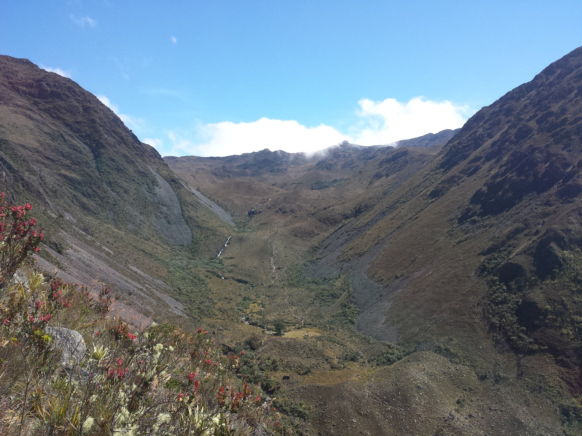
5. Gavidia - Laguna Santo Cristo
Snapshot
Itinerary
From Gavidia / Las Piñuelas, the source route climbs through high paramo, crosses Alto de Santo Cristo and visits a sequence of small high lakes before reaching Laguna Santo Cristo. The route returns as a loop on the recorded Wikiloc track. Other approaches and longer traverses exist, so the exact line should be checked locally before publication.
Why it is essential
Laguna Santo Cristo is one of the most photographed remote lake basins in the Sierra Nevada de Mérida and represents the quieter, less road-accessed side of the range.
Equipment
Full mountain day kit, warm layers, waterproofs, gloves, hat, sun protection, headtorch, offline map/GPS, emergency layer and water treatment. A local guide is recommended.
Hazards and notes
This is a long high-altitude day with possible fog, cold rain, boggy ground and route-finding issues. Start very early and confirm access through Gavidia communities and INPARQUES requirements.
GPX / KML links
| Source | URL | Format / access | Reuse status |
|---|---|---|---|
| Wikiloc: Gavidia (Las Piñuelas) Laguna Santo Cristo | es.wikiloc.com | Source map / downloadable route via Wikiloc | Wikiloc terms apply; source-map reference only |
| OpenStreetMap search: Laguna Santo Cristo | openstreetmap.org | Map geometry cross-check | OSM data is ODbL; geometry cross-check only |
External links
External links
| Source | URL |
|---|---|
| INPARQUES — Parque Nacional Sierra Nevada | inparques.gob.ve |
| INPARQUES — Sierra Nevada 66th anniversary | inparques.gob.ve |
| Wikipedia — Teleférico de Mérida | es.wikipedia.org |
| GeoView — Laguna de Los Anteojos | ve.geoview.info |
| Wikiloc — Mucubají - Laguna la Negra - Laguna los Patos | es.wikiloc.com |
| Wikiloc — La Isla area listings | es.wikiloc.com |
| Wikiloc — De Los Nevados a Loma Redonda | es.wikiloc.com |
| Wikiloc — Los Nevados area listings | es.wikiloc.com |
| Wikiloc — Gavidia (Las Piñuelas) Laguna Santo Cristo | es.wikiloc.com |