Regional overview
The Imbabura-Cayambe hiking region is high Andean volcano country around Otavalo, Ibarra, Cotacachi and Cayambe: crater lakes, open páramo, cultural landscapes and acclimatisation summits. It is less glaciated than the central Avenue of Volcanoes, except around Cayambe, but still demands altitude awareness and fast-changing weather judgement.
Core verification sources include Imbabura Geopark pages for Cotacachi-Cuicocha, Mojanda-Fuya Fuya and Imbabura-Cubilche; GAD Angochagua for Cubilche; Ecuador protected-area sources for Cotacachi-Cayapas and Cayambe-Coca; and trail databases for source-route geometry.
Selection rationale
The selection covers the essential day-hike range of the Imbabura-Cayambe region: the Cuicocha crater rim, the Fuya Fuya páramo summit above the Mojanda lakes, the long Taita Imbabura ascent, the Cubilche community-access crater walk, and the high non-technical approach to the Ruales-Oleas-Bergé Refuge on Cayambe.
Summary table
| # | Hike | Country | Route type | Distance | Gain | Max elevation | Difficulty |
|---|---|---|---|---|---|---|---|
| 1 | Cuicocha Lagoon Rim Loop | Ecuador | Loop | 12.7-14 km | 678 m | approx. 3,400 m | Moderate-hard / hard |
| 2 | Fuya Fuya Summit from Lagunas de Mojanda | Ecuador | Out-and-back | 4.7 km | 608 m | approx. 4,263 m | Hard |
| 3 | Taita Imbabura Summit | Ecuador | Out-and-back | 10.5 km | 1,473 m | 4,609-4,621 m | Hard |
| 4 | Laguna / Volcán Cubilche | Ecuador | Out-and-back (optional crater loop) | 5.1 km | 485 m | approx. 3,819 m | Moderate |
| 5 | Cayambe Ruales-Oleas-Bergé Refuge Approach | Ecuador | Out-and-back | Approx. 7.9 km | Approx. 1,183 m | Refuge around 4,600 m | Strenuous |
1. Cuicocha Lagoon Rim Loop
Snapshot
Itinerary
Circuit of the crater rim above Laguna Cuicocha, passing multiple viewpoints over the lake, its islets, Volcán Cotacachi and the Imbabura highlands.
Why it is essential
The classic crater-lake hike of northern Ecuador and one of the most recognisable landscapes in Imbabura.
Equipment
- Hiking shoes
- Rain shell
- Warm layer
- Sun protection
- Water
- Trekking poles useful
Hazards and notes
- Altitude.
- Exposed sun/wind.
- Mud and eroded path sections.
- Steep rim slopes.
- No technical equipment normally required.
GPX / KML links
| Source | URL | Format / access | Reuse status |
|---|---|---|---|
| AllTrails: Laguna Cuicocha | alltrails.com | Source map / route statistics; AllTrails terms apply | Not verified; treat as non-reusable except as a reference for manual redrawing |
External links
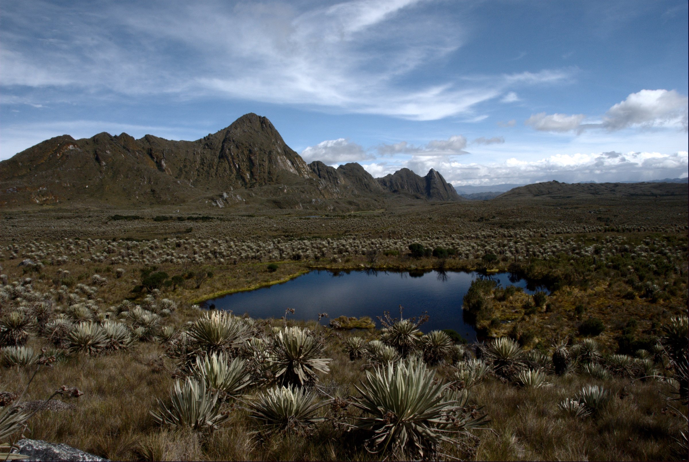
2. Fuya Fuya Summit from Lagunas de Mojanda
Snapshot
Itinerary
Steep páramo ascent from the Mojanda lakes to Fuya Fuya’s summit area, with a short rocky final section and views over Otavalo, Imbabura and the lake basin.
Why it is essential
A short but serious high-altitude acclimatisation summit and a signature Otavalo-area hike.
Equipment
- Warm layer
- Waterproof shell
- Grippy footwear
- Water
- Trekking poles useful
Hazards and notes
- Altitude.
- Mud, wind, poor visibility.
- Short easy scramble near the summit.
GPX / KML links
| Source | URL | Format / access | Reuse status |
|---|---|---|---|
| AllTrails: Fuya Fuya Trail | alltrails.com | Source map / route statistics; AllTrails terms apply | Not verified; treat as non-reusable except as a reference for manual redrawing |
External links
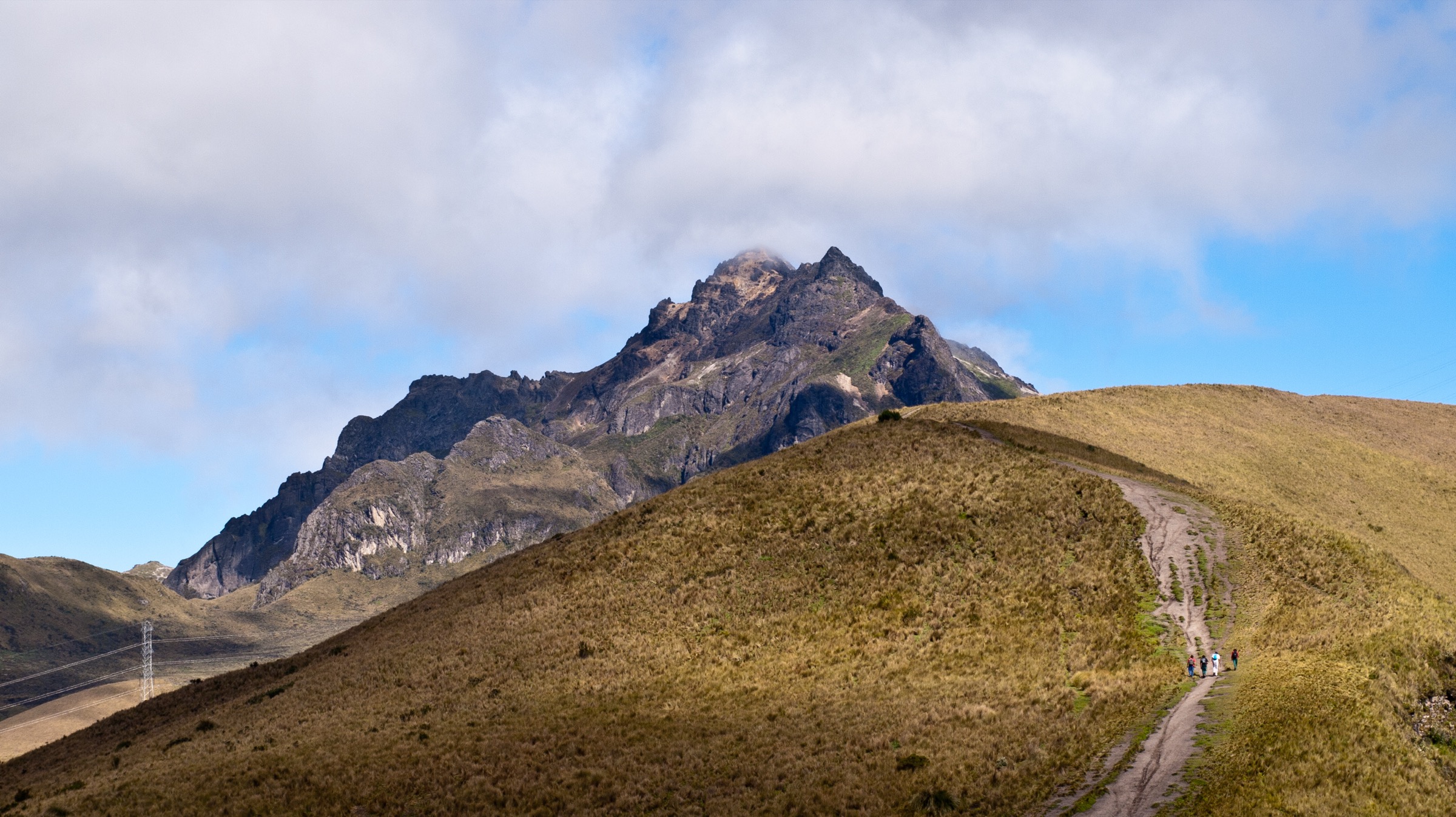
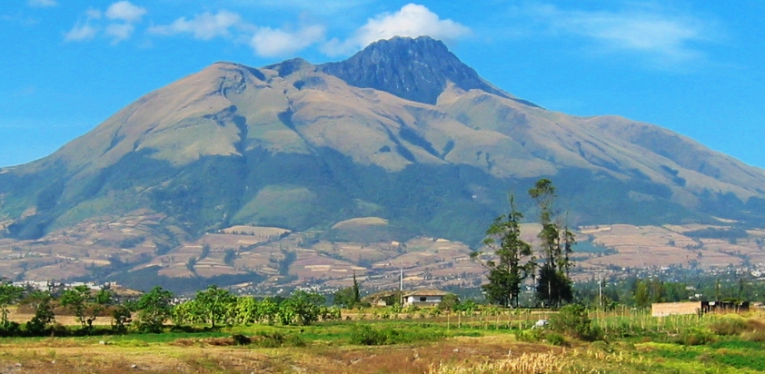
3. Taita Imbabura Summit
Snapshot
Itinerary
Long ascent through farmland edge and páramo to the summit ridge of Volcán Imbabura / Taita Imbabura.
Why it is essential
The province’s namesake volcano, a major cultural landmark and one of northern Ecuador’s classic non-glaciated volcano ascents.
Equipment
- Full mountain day kit
- Waterproofs
- Warm layers
- Navigation
- Trekking poles
- Sun protection
Hazards and notes
- Altitude.
- Fog, loose volcanic ground, steep grass.
- Navigation uncertainty.
- Local guide recommended if unfamiliar with the route.
GPX / KML links
| Source | URL | Format / access | Reuse status |
|---|---|---|---|
| AllTrails: Imbabura Summit | alltrails.com | Source map / route statistics; AllTrails terms apply | Not verified; treat as non-reusable except as a reference for manual redrawing |
External links
4. Laguna / Volcán Cubilche
Snapshot
Itinerary
Páramo walk to Cubilche’s crater-lake area, with views over Angochagua and the Imbabura highlands.
Why it is essential
A locally important volcanic lake geosite and community-access hike that broadens the region beyond the better-known Otavalo routes.
Equipment
- Hiking shoes
- Rain shell
- Warm layer
- Navigation
- Trekking poles useful
Hazards and notes
- Trails may be unmarked or only lightly marked; local guide recommended by geosite sources.
GPX / KML links
| Source | URL | Format / access | Reuse status |
|---|---|---|---|
| GAD Angochagua: Laguna Cubilche | gadangochagua.gob.ec | Local government tourism page; route/download terms not stated | Unresolved |
External links
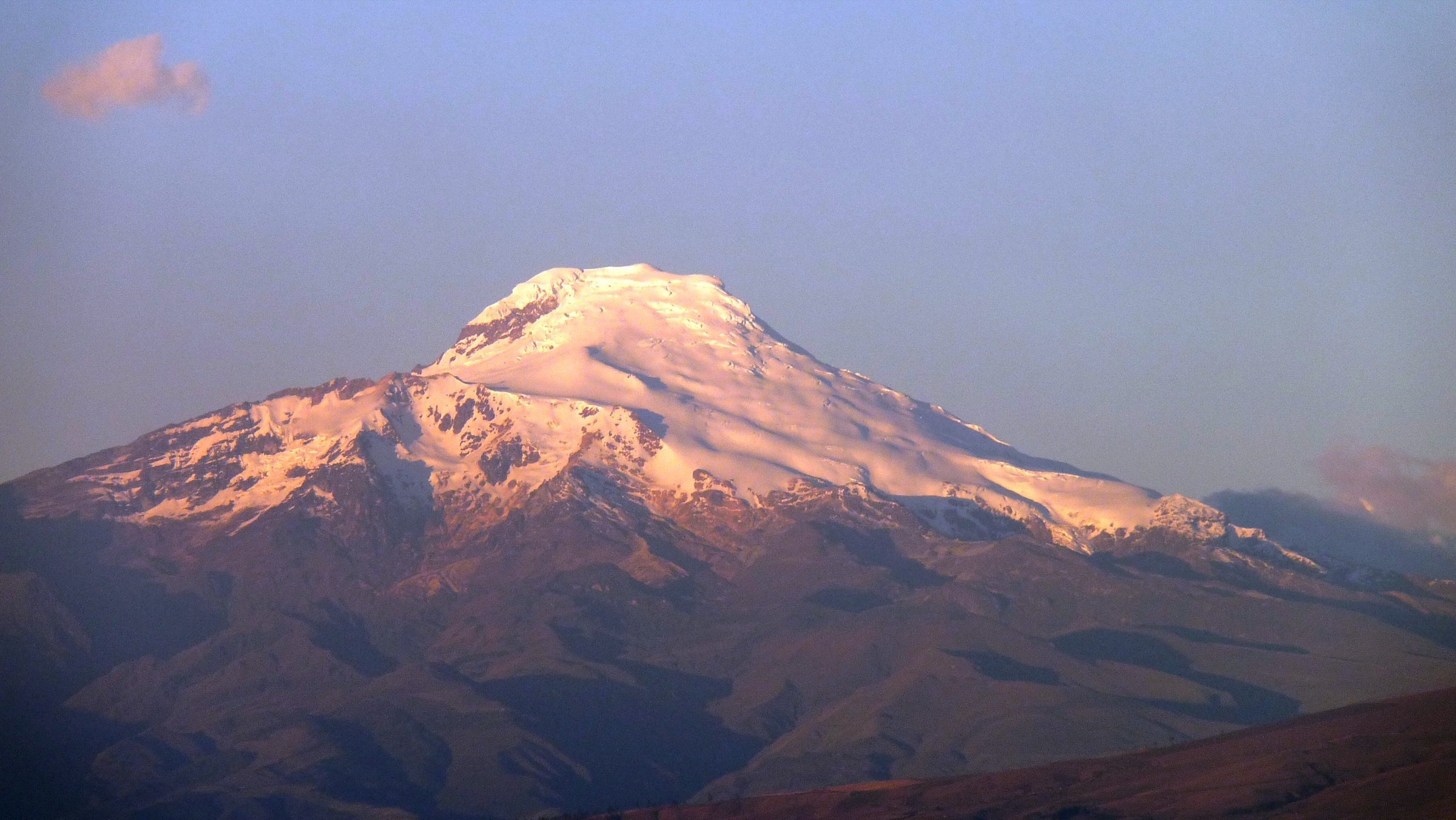
5. Cayambe Ruales-Oleas-Bergé Refuge Approach
Snapshot
Itinerary
High-altitude approach toward the Cayambe refuge and glacier-view zone, without glacier travel.
Why it is essential
The safest non-technical way to experience Cayambe, Ecuador’s third-highest volcano and a major glaciated Andean landmark.
Equipment
- High-altitude clothing, gloves, hat
- Waterproof shell
- Sun protection
- Navigation
- Glacier gear and certified guiding required if going beyond non-glacier terrain
Hazards and notes
- Altitude sickness.
- Wind and cold.
- Poor road condition.
- Snow/ice near glacier approaches.
GPX / KML links
| Source | URL | Format / access | Reuse status |
|---|---|---|---|
| AllTrails: Refugio Oleas-Ruales Cayambe | alltrails.com | Source map / route statistics; AllTrails terms apply | Not verified; treat as non-reusable except as a reference for manual redrawing |
External links
External links
| Source | URL |
|---|---|
| AllTrails — Laguna Cuicocha | alltrails.com |
| AllTrails — Fuya Fuya Trail | alltrails.com |
| AllTrails — Imbabura Summit | alltrails.com |
| AllTrails — Refugio Oleas-Ruales Cayambe | alltrails.com |
| GAD Angochagua — Laguna Cubilche | gadangochagua.gob.ec |