Regional overview
The Eastern Cordillera around Bogota is a high Andean walking region of urban pilgrim paths, protected eastern-hill forests, cloud forest on the western escarpment, and paramo lake routes in Chingaza and the Cundiboyacense highlands. The hiking character is access-sensitive: several routes require reservations, daily quotas, registered guides, or fixed opening hours.
Altitude is the defining factor. Most routes begin above 2,600 m and the paramo routes reach roughly 3,600-3,700 m. Weather can change quickly from clear urban morning to cold fog, rain and wind on the ridges. Sumapaz was excluded because Parques Nacionales has stated that ecotourism is not permitted there and that the Chisaca sector has no public tourist infrastructure.
Selection rationale
The five selected hikes balance Bogota’s iconic pilgrim summit, a classic Cerros Orientales forest route, Chingaza’s essential sacred-lagoon paramo, the Muisca sacred lake of Iguaque, and the Chicaque cloud forest on the edge of the Sabana de Bogota. All route statistics should be treated as route-source figures, not surveyed values.
Summary table
| # | Hike | Country | Route type | Distance | Gain | Max elevation | Difficulty |
|---|---|---|---|---|---|---|---|
| 1 | Monserrate via Pilgrims’ Way | Colombia | Out-and-back | 6.0 km AllTrails; official pedestrian ascent 2.35 km one-way | 868 m AllTrails | 3,140 m AllTrails / summit area approx. 3,150 m | Hard |
| 2 | Quebrada La Vieja - Alto de la Cruz | Colombia | Out-and-back | 6.6 km | 470 m | 3,052 m | Hard |
| 3 | Lagunas de Siecha, Chingaza | Colombia | Out-and-back | 13.8 km AllTrails; official Siecha trail leaflet 5.18 km for core trail | 1,060 m | 3,669 m | Hard |
| 4 | Sendero Bachue to Laguna Sagrada de Iguaque | Colombia | Out-and-back | 9.5 km AllTrails; official 4.7 km one-way / 9.2 km return | 915 m | 3,640 m official | Hard |
| 5 | Parque Natural Chicaque main cloud-forest circuit | Colombia | Loop | 7.6 km | 599 m | 2,634 m | Hard |
1. Monserrate via Pilgrims’ Way
Snapshot
Itinerary
The classic route climbs the stone-and-stair pilgrim path from the city edge to the Monserrate sanctuary. The path is managed by IDRD and is one of Bogota’s best-known public exercise and pilgrimage routes. Views open progressively over the city before the final sanctuary terraces.
Why it is essential
Monserrate is Bogota’s signature hill, combining pilgrimage, city viewpoint, colonial religious history and a direct high-altitude workout from the capital.
Equipment
- Water
- Sun/rain protection
- Light warm layer
- Grippy shoes
- No technical equipment
Hazards and notes
- Crowds, steep steps, slippery paving in rain, altitude, heat/sun when exposed.
- Follow IDRD opening hours.
GPX / KML links
| Source | URL | Format / access | Reuse status |
|---|---|---|---|
| AllTrails: Monserrate via Pilgrims’ Way | alltrails.com | Source map / downloadable route via account | AllTrails terms apply; source-map reference only |
| IDRD Sendero de Monserrate | idrd.gov.co | Official trail information | Government website; reuse terms not checked; official access reference, not route-file source |
External links
- IDRD — Sendero de Monserrate
- Bogota.gov — Monserrate trail length/steps/opening notes
- AllTrails — Monserrate via Pilgrims’ Way
2. Quebrada La Vieja - Alto de la Cruz
Snapshot
Itinerary
The route enters Quebrada La Vieja from Chapinero and climbs through the protected eastern-hill forest. EAAB identifies four associated sections: Ingreso-Claro de Luna, Claro de Luna-La Virgen, Claro de Luna-Paramo and Claro de Luna-La Cruz. The catalogue route uses the Alto de la Cruz branch as the most complete hill-viewpoint option.
Why it is essential
Quebrada La Vieja is the classic Bogota city-edge ecological trail: it shows how close the capital sits to high Andean forest, streams and steep ridgelines.
Equipment
- Hiking shoes
- Water
- Rain shell
- Sun protection
- Reservation/ID where required
Hazards and notes
- Mud, steep forest paths, erosion, wet roots.
- Security/access restrictions and cloud/fog can affect the route.
GPX / KML links
| Source | URL | Format / access | Reuse status |
|---|---|---|---|
| AllTrails: Quebrada La Vieja - Alto de la Cruz | alltrails.com | Source map / downloadable route via account | AllTrails terms apply; source-map reference only |
| EAAB Sendero Quebrada La Vieja | acueducto.com.co | Official trail page | Reuse terms not checked; official access reference |
External links
- EAAB / Acueducto — Sendero Quebrada La Vieja
- EAAB / Acueducto — Senderos Cerros Orientales overview
- AllTrails — Quebrada La Vieja - Alto de la Cruz
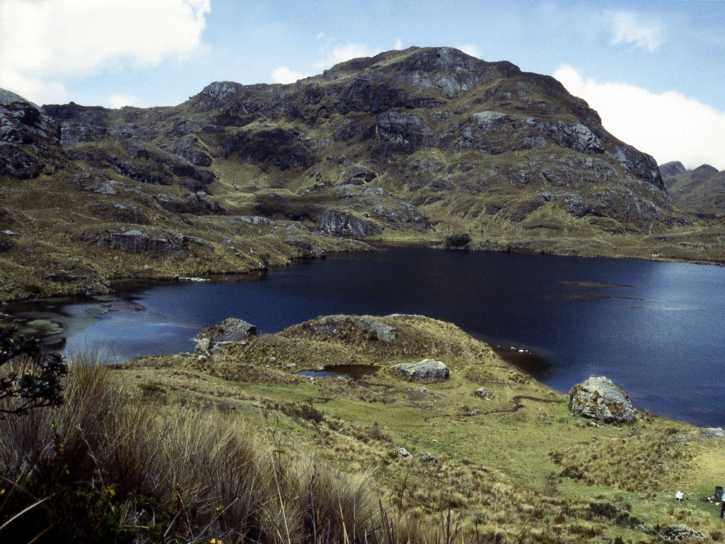
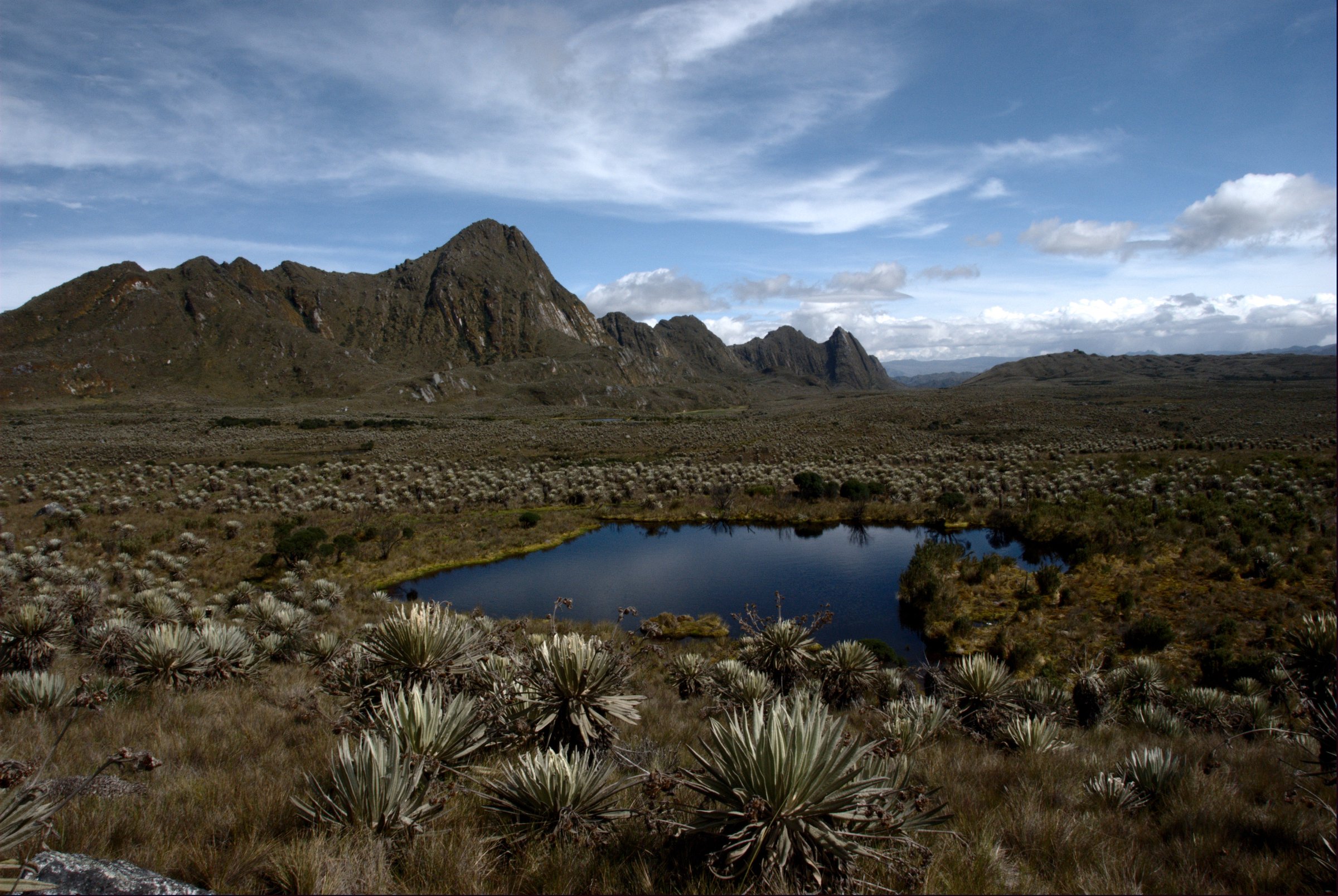
3. Lagunas de Siecha, Chingaza
Snapshot
Itinerary
From the Siecha sector, the route climbs into high paramo to the sacred lagoon complex usually described as Lagunas de Siecha: Siecha, Guasca and De los Patos. Parques Nacionales lists Lagunas de Siecha and Cuchillas de Siecha among Chingaza’s visitor trails and identifies the sector as an ecotourism area with capacity and access controls.
Why it is essential
This is the defining Chingaza day hike near Bogota: an open paramo route to sacred Muisca lakes with frailejones, high ridges and the water-source landscape that supplies the capital region.
Equipment
- Warm/waterproof layers
- Hat/gloves
- Boots
- Food/water
- GPS/map
- Guide/interpreter and reservation where required
Hazards and notes
- Altitude, boggy paramo, fog/navigation, lightning.
- Fragile vegetation.
- Reservation/guide requirements.
GPX / KML links
| Source | URL | Format / access | Reuse status |
|---|---|---|---|
| AllTrails: Lagunas de Siecha | alltrails.com | Source map / downloadable route via account | AllTrails terms apply; source-map reference only |
| Parques Nacionales PDF: Sendero Las Lagunas de Siecha | parquesnacionales.gov.co | Official PDF/map leaflet | Reuse terms not checked; official route reference; map reuse unresolved |
External links
- Parques Nacionales — PNN Chingaza
- Parques Nacionales — Chingaza special ecotourism page
- Parques Nacionales — Sendero Las Lagunas de Siecha PDF
- AllTrails — Lagunas de Siecha
4. Sendero Bachue to Laguna Sagrada de Iguaque
Snapshot
Itinerary
The Bachue trail starts at Carrizal, passes through Andean forest and high Andean vegetation, and climbs to the paramo lake of Iguaque. Parques Nacionales describes the lake as sacred and asks visitors to view it from a distance, without contact or offerings.
Why it is essential
Laguna de Iguaque is one of the great cultural hikes of the Eastern Cordillera: a demanding ascent to a sacred Muisca origin landscape in a protected paramo sanctuary.
Equipment
- Boots
- Rain shell
- Warm layer
- Water/food
- Guide/interpreter where required
- Visitor insurance as required
Hazards and notes
- Steep muddy trail, high altitude, no cell signal.
- Fragile sacred lagoon environment.
- Daily capacity limits.
GPX / KML links
| Source | URL | Format / access | Reuse status |
|---|---|---|---|
| AllTrails: Laguna Iguaque Road | alltrails.com | Source map / downloadable route via account | AllTrails terms apply; source-map reference only |
| Parques Nacionales old map: Mapa Sendero Laguna | parquesnacionales.gov.co | Official map PDF | Reuse terms not checked; official route-map reference; reuse unresolved |
External links
- Parques Nacionales — SFF Iguaque
- Parques Nacionales — old Iguaque ecotourism page
- AllTrails — Laguna Iguaque Road
5. Parque Natural Chicaque main cloud-forest circuit
Snapshot
Itinerary
The main circuit descends from the upper entrance through Chicaque’s cloud forest using the old Camino Real and waterfall-route sectors. It can connect with Bosque de Robles, El Roquedal, the refugio area and Pico del Aguila depending on park conditions and route choice.
Why it is essential
Chicaque gives the Bogota highlands a different face: humid western-slope cloud forest, moss, oak woodland, birdlife, waterfalls and views toward the Tequendama/Magdalena side of the Cordillera Oriental.
Equipment
- Hiking shoes
- Rain layer
- Water
- Insect protection
- Cash/card for park entry
- Map/GPS
Hazards and notes
- Slippery mud, steep descents/ascents, low visibility.
- Private park rules apply.
GPX / KML links
| Source | URL | Format / access | Reuse status |
|---|---|---|---|
| AllTrails: Parque Natural Chicaque | alltrails.com | Source map / downloadable route via account | AllTrails terms apply; source-map reference only |
| Chicaque official senderismo page | chicaque.com | Official trail descriptions | Reuse terms not checked; official trail-network reference |
External links
- Parque Natural Chicaque — senderos
- Parque Natural Chicaque — home / Pico del Aguila note
- AllTrails — Parque Natural Chicaque
Regional source notes
- Sumapaz exclusion: Parques Nacionales stated that ecotourism in PNN Sumapaz is not permitted and that the Chisaca sector’s trails are closed to the public: old.parquesnacionales.gov.co.
- OpenStreetMap can be used later for geometry cross-checking of the public approach routes, subject to ODbL terms: openstreetmap.org.
External links
| Source | URL |
|---|---|
| IDRD — Sendero de Monserrate | idrd.gov.co |
| Bogota.gov — Monserrate trail page | bogota.gov.co |
| EAAB / Acueducto — Sendero Quebrada La Vieja | acueducto.com.co |
| EAAB / Acueducto — Senderos Cerros Orientales overview | acueducto.com.co |
| Parques Nacionales — PNN Chingaza | parquesnacionales.gov.co |
| Parques Nacionales — Chingaza special ecotourism page | parquesnacionales.gov.co |
| Parques Nacionales — Sendero Las Lagunas de Siecha PDF | parquesnacionales.gov.co |
| Parques Nacionales — SFF Iguaque | parquesnacionales.gov.co |
| Parques Nacionales — old Iguaque ecotourism page | parquesnacionales.gov.co |
| Parques Nacionales — Mapa Sendero Laguna Iguaque PDF | parquesnacionales.gov.co |
| Parques Nacionales — Sumapaz ecotourism statement | parquesnacionales.gov.co |
| Parque Natural Chicaque — senderismo | chicaque.com |
| Parque Natural Chicaque — home | chicaque.com |
| AllTrails — Monserrate via Pilgrims’ Way | alltrails.com |
| AllTrails — Quebrada La Vieja - Alto de la Cruz | alltrails.com |
| AllTrails — Lagunas de Siecha | alltrails.com |
| AllTrails — Laguna Iguaque Road | alltrails.com |
| AllTrails — Parque Natural Chicaque | alltrails.com |