Regional overview
The Sierra Nevada de Santa Marta is a unique coastal mountain massif rising from Caribbean beaches to Colombia’s highest peaks. For hiking, however, the legal and cultural boundaries are decisive: the current Parques Nacionales page lists PNN Sierra Nevada de Santa Marta as closed, and Parques Nacionales has explicitly stated that the park is not open to ecotourism and that tourism packages in that protected area are illegal. The high sacred lakes, paramos and nevados are therefore excluded.
This catalogue entry focuses on the legal foothill/coastal hiking area associated with the massif: Tayrona’s authorised trails and Minca’s community/private foothill routes. As of 5 June 2026, PNN Tayrona is inside its scheduled 1-15 June 2026 “Respira Tayrona” closure, so Tayrona routes are catalogue essentials but currently unavailable until the park reopens and any sector restrictions are lifted.
Selection rationale
The selection balances Tayrona’s iconic coast-forest walking, a quieter Calabazo/Playa Brava Tayrona option, and three Minca foothill/mid-slope routes: Los Pinos, Cerro Kennedy, and La Candelaria. Pueblito / Chairama is not selected because reliable current public access is unresolved and multiple sources report long-term closure or restrictions.
Summary table
| # | Hike | Country | Route type | Distance | Gain | Max elevation | Difficulty | Photo status |
|---|---|---|---|---|---|---|---|---|
| 1 | Tayrona: Canaveral / Arrecifes / Cabo San Juan | Colombia | Out-and-back | 12.2 km | 205 m | 45 m | Moderate | Commons category found |
| 2 | Tayrona: Calabazo - Playa Brava | Colombia | Out-and-back | 15.6 km | 812 m | 463 m | Hard | Commons category/search found |
| 3 | Minca - Los Pinos Circuit | Colombia | Loop | 16.1 km | 866 m | 1,340 m | Hard | Commons/search only |
| 4 | Cerro Kennedy from Minca / upper road approach | Colombia | Out-and-back / long road ascent | 21-28 km depending start | approx. 1,500 m from lower trailhead; less with vehicle approach | approx. 3,100 m | Hard / very long | Commons/search only |
| 5 | Minca - La Candelaria Circuit | Colombia | Loop | 9.2 km | 528 m | 1,033 m | Moderate | Commons/search only |
1. Tayrona: Canaveral / Arrecifes / Cabo San Juan
Snapshot
Itinerary
The standard Tayrona day walk follows the authorised coastal forest route through the Canaveral / Arrecifes corridor, passing Arrecifes and La Piscina toward Cabo San Juan del Guia, then returns the same way. Old Parques Nacionales material describes the Arrecifes-Boca del Saco route via Arrecifes, La Piscina and Cabo San Juan as a medium/high-difficulty two-hour segment.
Why it is essential
This is the iconic accessible hike where the Sierra Nevada meets the Caribbean: dry/wet coastal forest, boulder beaches, wildlife and the famous Cabo San Juan headland.
Equipment
- Water
- Sun/rain protection
- Insect protection
- Swimwear where permitted
- Cash
- Park ticket/insurance requirements
Hazards and notes
- Heat, humidity, mud.
- Beach currents/no-swim areas.
- Wildlife.
- Crowding.
- Current sector restrictions.
Photos
| Image | Source | Author | Licence | Reuse notes | Attribution |
|---|---|---|---|---|---|
| Tayrona National Natural Park Commons category | commons.wikimedia.org | Various / file-specific | File-specific Commons licences | Select compatible file before publication | File-specific attribution required |
| Cabo San Juan Commons search | commons.wikimedia.org | Various / file-specific | File-specific Commons licences | Candidate search only | File-specific attribution required |
GPX / KML links
| Source | URL | Format | Licence / terms | Reuse status |
|---|---|---|---|---|
| AllTrails: Cabo San Juan via Tayrona Entrance | alltrails.com | Source map / downloadable route via account | AllTrails terms apply | Source-map reference only |
| Parques Nacionales Tayrona official page | parquesnacionales.gov.co | Official access/closure context | Reuse terms not checked | Official access reference |
External links
- Parques Nacionales — PNN Tayrona
- Parques Nacionales — Respira Tayrona closure 1-15 June 2026
- Old Parques Nacionales — Tayrona activities page
- AllTrails — Cabo San Juan via Tayrona Entrance
2. Tayrona: Calabazo - Playa Brava
Snapshot
Itinerary
The route starts at Calabazo and climbs inland through Tayrona forest before descending to Playa Brava, a quieter beach sector with strong waves. It avoids relying on the old Pueblito / Chairama route for the catalogue version.
Why it is essential
Calabazo-Playa Brava gives a more strenuous, less crowded Tayrona walking experience, with a proper hill crossing between forest and coast.
Equipment
- Water
- Sun/rain protection
- Insect protection
- Good shoes
- Cash
- Park ticket/insurance where required
Hazards and notes
- Heat.
- Steep muddy climbs.
- Strong surf at Playa Brava.
- Remoteness compared with Cabo San Juan.
Photos
| Image | Source | Author | Licence | Reuse notes | Attribution |
|---|---|---|---|---|---|
| Tayrona National Natural Park Commons category | commons.wikimedia.org | Various / file-specific | File-specific Commons licences | Select compatible file before publication | File-specific attribution required |
| Playa Brava Tayrona Commons search | commons.wikimedia.org | Various / file-specific | File-specific Commons licences | Candidate search only | File-specific attribution required |
GPX / KML links
| Source | URL | Format | Licence / terms | Reuse status |
|---|---|---|---|---|
| AllTrails: Calabazo - Brava Beach | alltrails.com | Source map / downloadable route via account | AllTrails terms apply | Source-map reference only |
External links
3. Minca - Los Pinos Circuit
Snapshot
Itinerary
The circuit climbs from Minca toward the Los Pinos ridge, linking forest, waterfalls/streams and higher viewpoints. On clear days the ridge can give views toward Santa Marta, the Caribbean and the higher Sierra Nevada.
Why it is essential
Los Pinos is the most complete Minca day circuit: a real climb above the foothill village, with forest, water and ridge views.
Equipment
- Hiking shoes
- Rain protection
- Water
- Sun/insect protection
- Map/GPS
- Early start
Hazards and notes
- Heat/humidity lower down.
- Steep climbs.
- Overgrown/narrow paths.
- Motorbike/shared road sections.
Photos
| Image | Source | Author | Licence | Reuse notes | Attribution |
|---|---|---|---|---|---|
| Minca Commons search | commons.wikimedia.org | Various / file-specific | File-specific Commons licences | Candidate search only | File-specific attribution required |
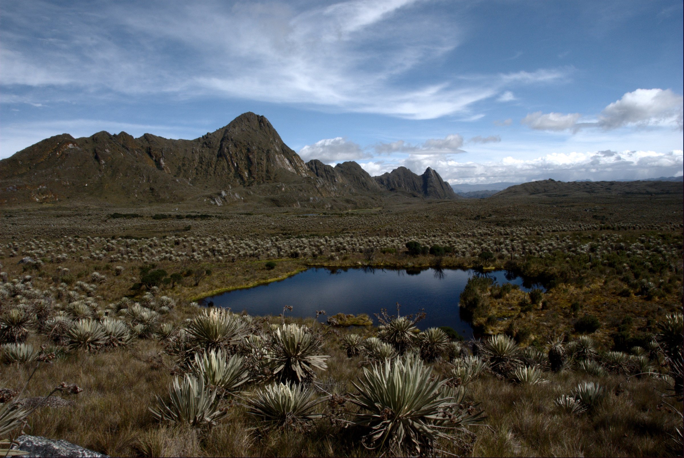
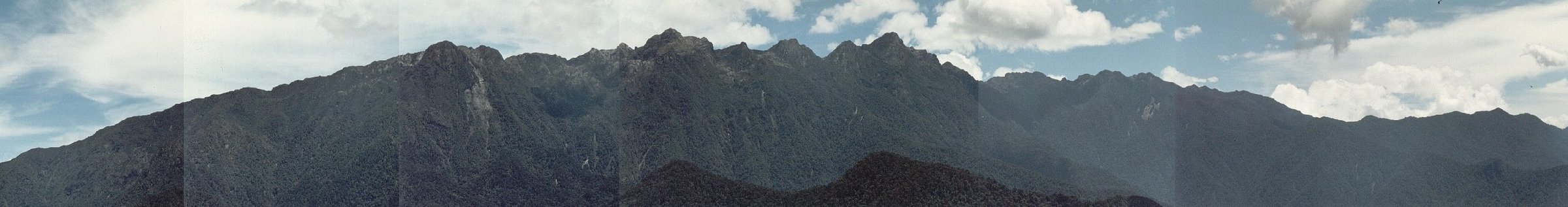
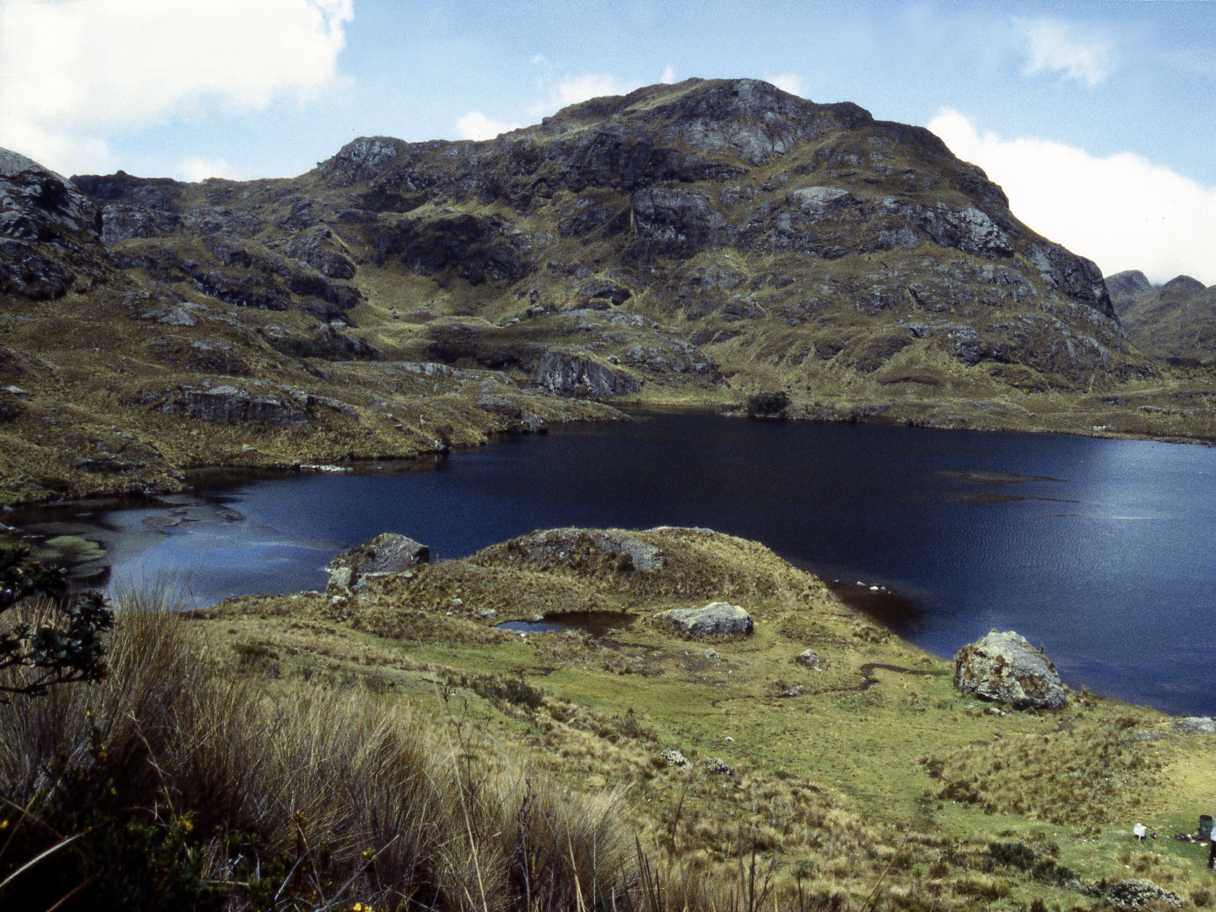
| Sierra Nevada de Santa Marta Commons category | commons.wikimedia.org | Various / file-specific | File-specific Commons licences | Contextual images only | File-specific attribution required |
GPX / KML links
| Source | URL | Format | Licence / terms | Reuse status |
|---|---|---|---|---|
| AllTrails: Minca - Los Pinos Circuit | alltrails.com | Source map / downloadable route via account | AllTrails terms apply | Source-map reference only |
External links
- AllTrails — Minca - Los Pinos Circuit
- Discover Santa Marta — tourism guide PDF (Minca trekking context)
4. Cerro Kennedy from Minca / upper road approach
Snapshot
Itinerary
The route climbs the road/trail system above Minca toward Cerro Kennedy, one of the best known viewpoints toward the snowy high peaks of the Sierra Nevada de Santa Marta. The full lower-start ascent is at the edge of what fits as a day hike; many parties use an overnight or vehicle-supported approach.
Why it is essential
Cerro Kennedy is the essential mountain-view objective above Minca, famous for sunrise views toward Colombia’s highest peaks and the Caribbean slope below.
Equipment
- Early start/headtorch
- Guide or trusted local route advice
- Rain/warm layers
- Food/water
- GPS/map
- Cash for local services
Hazards and notes
- Long distance.
- Major ascent.
- Vehicle-road traffic.
- Remoteness.
- Weather.
- Private/local access changes.
Photos
| Image | Source | Author | Licence | Reuse notes | Attribution |
|---|---|---|---|---|---|
| Cerro Kennedy Commons search | commons.wikimedia.org | Various / file-specific | File-specific Commons licences | Candidate search only | File-specific attribution required |
| Sierra Nevada de Santa Marta Commons category | commons.wikimedia.org | Various / file-specific | File-specific Commons licences | Contextual images only | File-specific attribution required |
GPX / KML links
| Source | URL | Format | Licence / terms | Reuse status |
|---|---|---|---|---|
| Wikiloc: Minca - Cerro Kennedy - Sierra Nevada Santa Marta | wikiloc.com | Source route / downloadable via Wikiloc account | Wikiloc terms apply | Source-map reference only; biking/long-loop variant, not final hiking line |
| Wikiloc: Cerro Kennedy hiking trail | wikiloc.com | Source route / downloadable via Wikiloc account | Wikiloc terms apply | Source-map reference only |
External links
- A World Over — Cerro Kennedy hike guide
- BnB Colombia — Day Hikes Minca
- Wikiloc — Minca - Cerro Kennedy - Sierra Nevada Santa Marta
5. Minca - La Candelaria Circuit
Snapshot
Itinerary
The loop climbs from Minca to the La Candelaria coffee-farm area and returns by local tracks/roads through forest, streams and viewpoints. The route is often combined with birding and coffee stops.
Why it is essential
This is the cultural foothill walk of the Minca set: coffee landscape, birdlife, forest edges and views, without the length of Cerro Kennedy or Los Pinos.
Equipment
- Hiking shoes
- Water
- Rain/sun/insect protection
- Cash for coffee/farm stops if used
Hazards and notes
- Heat.
- Bugs.
- Occasional unclear paths.
- Shared tracks with motorbikes.
Photos
| Image | Source | Author | Licence | Reuse notes | Attribution |
|---|---|---|---|---|---|
| Minca Commons search | commons.wikimedia.org | Various / file-specific | File-specific Commons licences | Candidate search only | File-specific attribution required |
GPX / KML links
| Source | URL | Format | Licence / terms | Reuse status |
|---|---|---|---|---|
| AllTrails: Minca - La Candelaria Circuit | alltrails.com | Source map / downloadable route via account | AllTrails terms apply | Source-map reference only |
External links
External links
| Source | URL |
|---|---|
| Parques Nacionales — PNN Sierra Nevada de Santa Marta | parquesnacionales.gov.co |
| Parques Nacionales — PNN Sierra Nevada de Santa Marta not open to ecotourism | parquesnacionales.gov.co |
| Parques Nacionales — PNN Tayrona | parquesnacionales.gov.co |
| Parques Nacionales — Respira Tayrona closure 1-15 June 2026 | parquesnacionales.gov.co |
| Old Parques Nacionales — Tayrona activities page | old.parquesnacionales.gov.co |
| AllTrails — Cabo San Juan via Tayrona Entrance | alltrails.com |
| AllTrails — Calabazo - Brava Beach | alltrails.com |
| AllTrails — Minca - Los Pinos Circuit | alltrails.com |
| AllTrails — Minca - La Candelaria Circuit | alltrails.com |
| A World Over — Cerro Kennedy hike guide | aworldover.com |
| BnB Colombia — Day Hikes Minca | bnbcolombia.com |
| Wikiloc — Minca - Cerro Kennedy - Sierra Nevada Santa Marta | wikiloc.com |
| Wikiloc — Cerro Kennedy hiking trail | wikiloc.com |
| Discover Santa Marta — tourism guide PDF | discoversantamarta.travel |