Regional overview
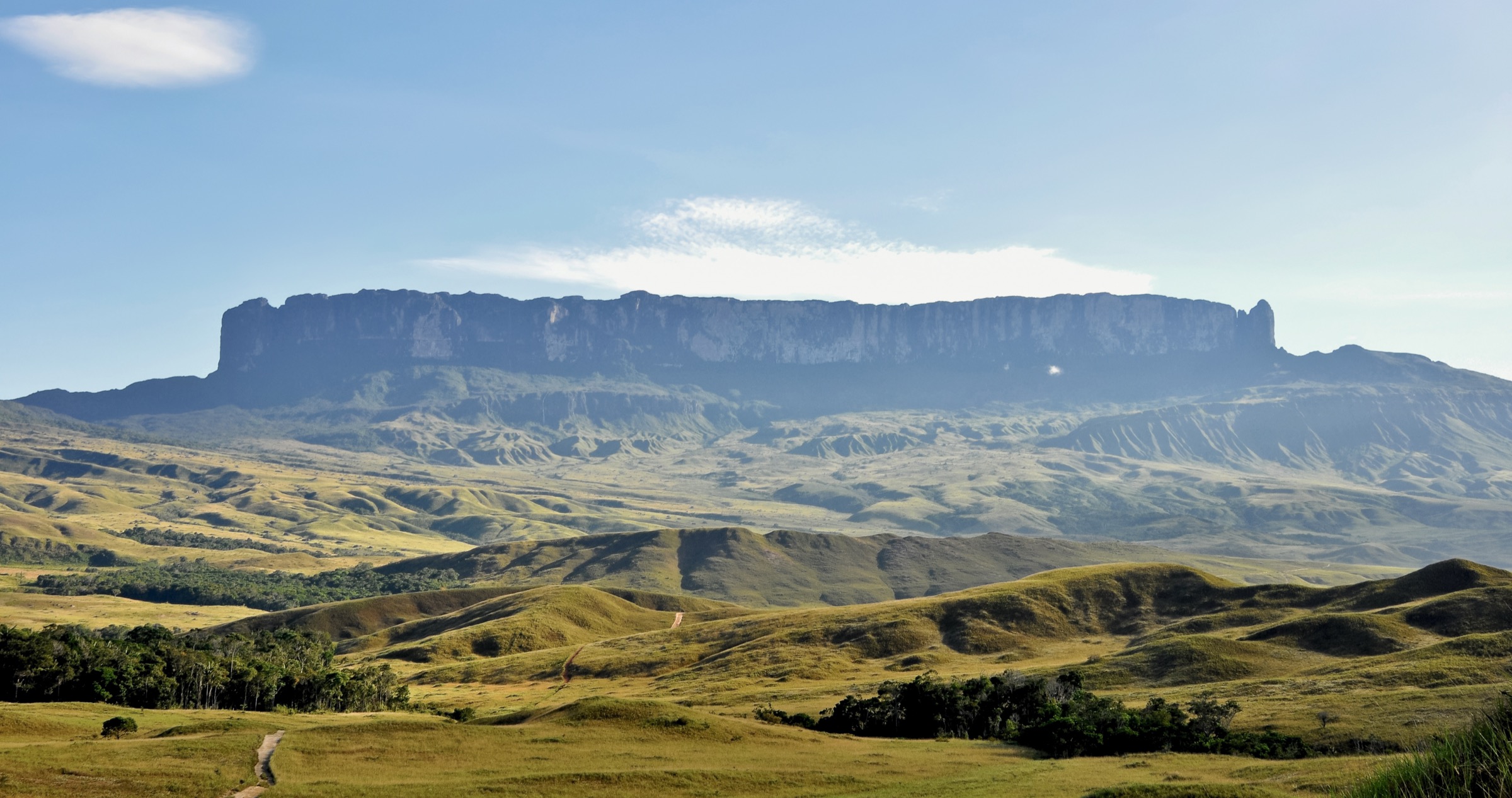
The Venezuelan Gran Sabana is the savanna, river, waterfall and tepui country of southeastern Bolívar State, largely within Canaima National Park. It is one of the classic landscapes of the Guiana Shield: ancient quartzite table mountains, blackwater rivers, jasper creek beds, high rainfall, remote Pemón communities, air/river logistics and a small number of roads around Santa Elena de Uairen and the eastern Gran Sabana.
This is not a conventional waymarked day-hiking region. Roraima and Kukenan are treated in a separate catalogue entry, and most other tepui summit routes require local permissions, guides, aircraft/river logistics or expedition planning. The five hikes below therefore mix short but essential tepui-country walks with candidate tepui objectives. Several entries need local field confirmation before a final guidebook edition.
Selection rationale
The selection avoids duplicating the Roraima/Kukenan trek and instead represents the wider Venezuelan Gran Sabana/Canaima walking character: a climbable minor tepui candidate at Sororopan, the red jasper creek of Quebrada de Jaspe, the Aponwao/Chinak Meru waterfall approach, Kavac Canyon below Auyan-tepui, and the Mirador Laime / Angel Falls base trail below Auyan-tepui. These are the best-supported non-technical walking experiences found in this pass, but public GPX-grade route data remains poor.
Summary table
| # | Hike | Country | Route type | Distance | Gain | Max elevation | Difficulty |
|---|---|---|---|---|---|---|---|
| 1 | Sororopan-tepui ascent / Ptari Massif candidate | Venezuela | Guided out-and-back candidate | Unresolved | Unresolved | 2,050 m summit area | Candidate only |
| 2 | Quebrada de Jaspe / Kako Paru walk | Venezuela | Short out-and-back / local walk | Unresolved | Minimal, unresolved | Unresolved | Easy-moderate |
| 3 | Salto Aponwao / Chinak Meru viewpoint and river approach | Venezuela | Boat-assisted short out-and-back / local walk | Unresolved | Minimal-moderate, unresolved | Unresolved | Easy-moderate |
| 4 | Kavac Canyon / Cuevas de Kavac | Venezuela | Guided canyon out-and-back | Unresolved | Minimal, unresolved | Unresolved | Moderate, water/canyon |
| 5 | Angel Falls Mirador Laime from Isla Raton | Venezuela | Guided jungle out-and-back | Unresolved | Unresolved | Approx. 700 m viewpoint area, unresolved | Moderate tropical |
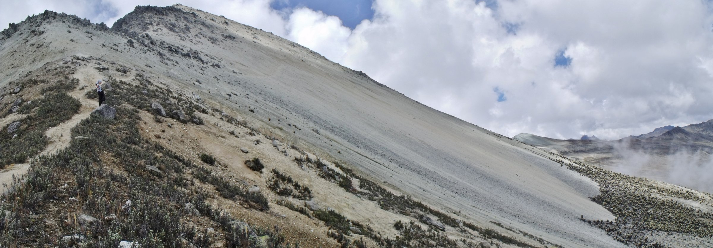
1. Sororopan-tepui ascent / Ptari Massif candidate

Snapshot
Itinerary
Sororopan-tepui is described as a long ridge in Bolívar State, part of the Ptari Massif and lying within Canaima National Park. Gran Sabana sources note that Sororopan-tepui is tilted and can be climbed, but this pass did not verify a legal public day route, trailhead, distance, gain or GPX source.
Why it is essential
If locally verified, Sororopan would provide the best non-Roraima example of a climbable Gran Sabana tepui objective. It is retained as a high-priority research candidate rather than a fully publishable route.
Equipment
Full tropical mountain day kit: guide, permission/park arrangements, boots, long trousers, rain shell, sun protection, insect repellent, 2-3 litres of water, food, offline map/GPS, headtorch and emergency communication plan.
Hazards and notes
Access legality, Indigenous/community permission, route existence, exposure, dense vegetation, heat, rain and navigation are unresolved. Do not publish as verified until checked with local operators or park/community authorities.
GPX / KML links
| Source | URL | Format / access | Reuse status |
|---|---|---|---|
| OpenStreetMap search — Sororopan-tepui | openstreetmap.org | Map data / search | OSM data is ODbL; broad geography only, no verified route line |
| Wikipedia — Sororopan-tepui | en.wikipedia.org | Reference page | CC BY-SA text; route data not provided |
External links
2. Quebrada de Jaspe / Kako Paru walk

Snapshot
Itinerary
Quebrada de Jaspe, also known as Kako Paru, is a protected natural monument/river-and-waterfall site in the eastern sector of Canaima National Park. The walk follows local access to the smooth red-and-black jasper bedrock and cascades. Exact permitted walking line, distance and access controls were not verified in this pass.
Why it is essential
This is one of the most recognizable short walks in the Gran Sabana: blackwater flowing over polished red jasper, a landscape feature that is small in distance but highly representative of the region’s geology and water.
Equipment
Grippy shoes or sandals with traction, water, sun/rain protection, insect repellent and dry bag for camera/phone. Avoid walking on fragile or prohibited surfaces if signs/guides restrict access.
Hazards and notes
Slippery wet rock, sudden runoff and crowding/impact are the main issues. Treat it as a protected natural site rather than a swimming stop unless local rules explicitly allow it.
GPX / KML links
| Source | URL | Format / access | Reuse status |
|---|---|---|---|
| Wikimedia Commons category — Quebrada de Jaspe | commons.wikimedia.org | Category with coordinates/OSM node context | Files under individual licences; structured data CC0; location reference only |
| OpenStreetMap search — Quebrada de Jaspe | openstreetmap.org | Map data / search | OSM data is ODbL; point/geography only, no route line |
External links
3. Salto Aponwao / Chinak Meru viewpoint and river approach

Snapshot
Itinerary
The usual visit combines dirt-road access to the Liworiwo/Iboriwo side, a curiara boat trip on the Aponwao River and short walking to viewpoints of Salto Aponwao, also called Chinak Meru. Commons/Wikidata context lists Aponwao Falls as part of Canaima National Park and gives a height of 98 m; the Gran Sabana source describes the curiara approach.
Why it is essential
Aponwao is the signature waterfall outing of the road-accessible Gran Sabana, pairing Pemón river logistics with one of the region’s best-known falls.
Equipment
Shoes with grip, rain shell, sun protection, water, insect repellent and dry bag for boat travel. Confirm life jackets/boat arrangements locally.
Hazards and notes
Road conditions, river levels, slippery viewpoint paths and boat safety are the main issues. Treat the route as community/guide-managed, not a self-guided walk.
GPX / KML links
| Source | URL | Format / access | Reuse status |
|---|---|---|---|
| Wikimedia Commons category — Aponwao Falls | commons.wikimedia.org | Category with coordinates/OSM node context | Files under individual licences; structured data CC0; location reference only |
| OpenStreetMap search — Aponwao Falls | openstreetmap.org | Map data / search | OSM data is ODbL; point/geography only, no route line |
External links
4. Kavac Canyon / Cuevas de Kavac

Snapshot
Itinerary
From the Kavac village/camp area, the guided walk enters the rocky gorge at the southeast side of Auyan-tepui. The Cuevas de Kavac source describes 150 m rock walls, a 235 m total gorge/cave length and deep pools that visitors must cross with local Indigenous guides to reach the outlet/waterfall area.
Why it is essential
Kavac is the accessible canyon-walk expression of Auyan-tepui: red/yellow rock walls, amber water, Pemón guiding and a close look at the erosional landscape below one of the world’s great tepuis.
Equipment
Water shoes or shoes that can get wet, swimwear if permitted, dry bag, rain/sun protection, insect repellent and guide-provided safety instructions. Non-swimmers should confirm conditions before entering.
Hazards and notes
Deep pools, slippery rock, confined canyon terrain, water level and air/remote logistics are the critical issues. This should be treated as a guided water-canyon hike, not a dry trail.
GPX / KML links
| Source | URL | Format / access | Reuse status |
|---|---|---|---|
| Wikimedia Commons category — Kavac | commons.wikimedia.org | Category with coordinates | Files under individual licences; structured data CC0; location reference only |
| OpenStreetMap search — Kavac Canaima | openstreetmap.org | Map data / search | OSM data is ODbL; geography only, no verified route line |
External links
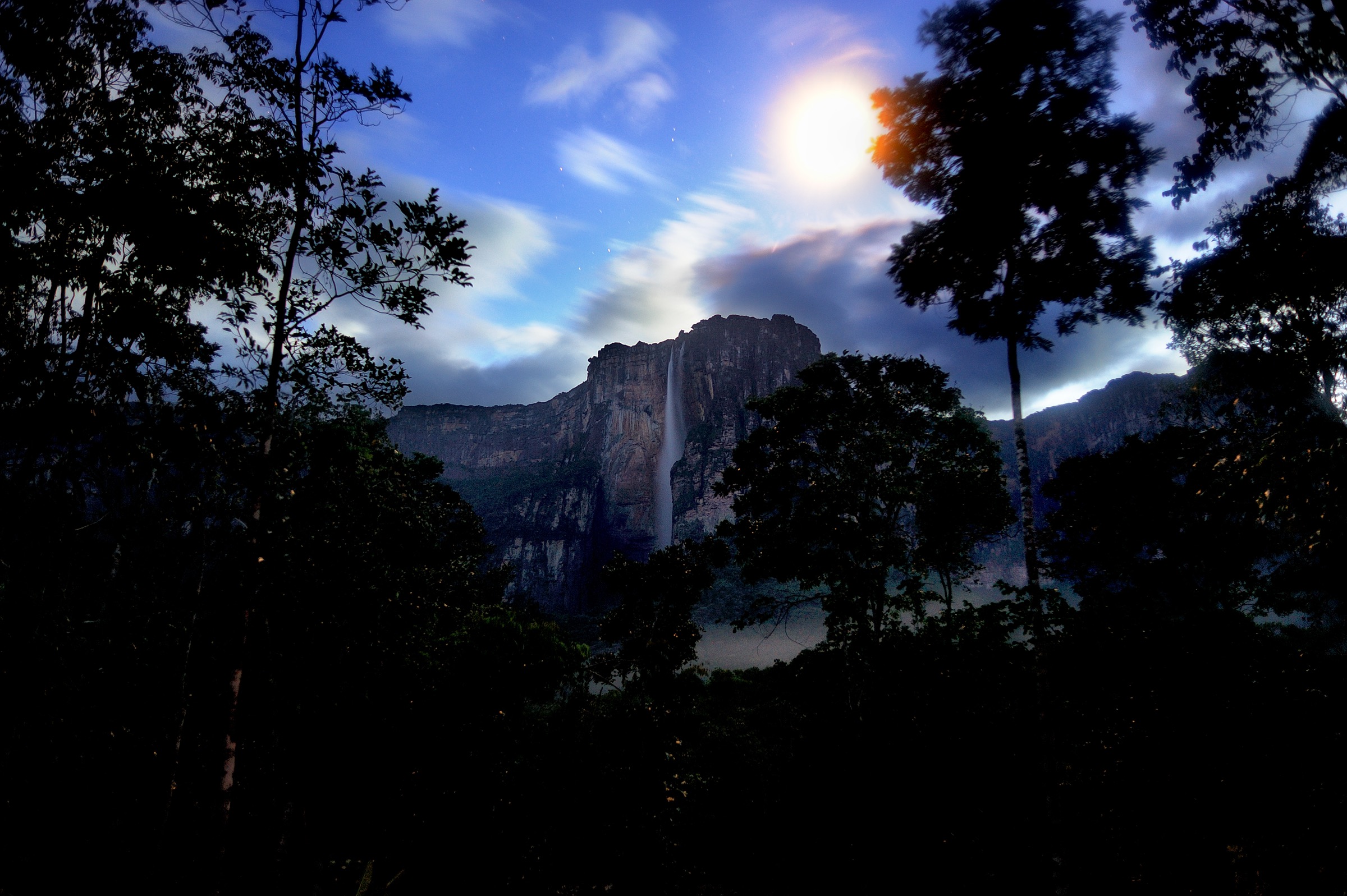
5. Angel Falls Mirador Laime from Isla Ratón

Snapshot
Itinerary
After air and river travel to the Angel Falls/Churun River area, the walking route leaves the Isla Ratón camp/landing and follows the forest trail cleared by Aleksandrs Laime toward the common viewing clearing below Angel Falls. Sources identify this as the tourist trail used to reach Mirador Laime and the base-view area.
Why it is essential
This is the most famous waterfall-base walk in Venezuelan tepui country, giving the pedestrian experience below Auyan-tepui and Angel Falls rather than only an overflight or boat view.
Equipment
Light boots or trail shoes, rain shell, insect repellent, water, camera dry bag, quick-dry clothing and guide/operator safety gear for the river approach.
Hazards and notes
Remote jungle logistics, river depth, slippery trail, heat/humidity, insects and cloud obscuring the falls are normal planning factors. The walk is only a day section within a flight/river expedition, not a standalone trailhead day hike.
GPX / KML links
| Source | URL | Format / access | Reuse status |
|---|---|---|---|
| OpenStreetMap search — Mirador Laime Angel Falls | openstreetmap.org | Map data / search | OSM data is ODbL; geography only, no verified route line |
| OpenStreetMap search — Isla Raton Angel Falls | openstreetmap.org | Map data / search | OSM data is ODbL; geography only, no verified route line |
External links
External links
| Source | URL |
|---|---|
| Wikipedia — Sororopan-tepui | en.wikipedia.org |
| Wikipedia — Ptari-tepui | en.wikipedia.org |
| Wikipedia — Gran Sabana | en.wikipedia.org |
| Wikimedia Commons — Quebrada de Jaspe | commons.wikimedia.org |
| Wikimedia Commons — Aponwao Falls | commons.wikimedia.org |
| Wikipedia (ES) — Cuevas de Kavac | es.wikipedia.org |
| Wikipedia — Auyán-tepui | en.wikipedia.org |
| Wikipedia — Angel Falls | en.wikipedia.org |
| UNESCO — Canaima National Park | whc.unesco.org |
| Wikipedia — Canaima National Park | en.wikipedia.org |