Regional overview
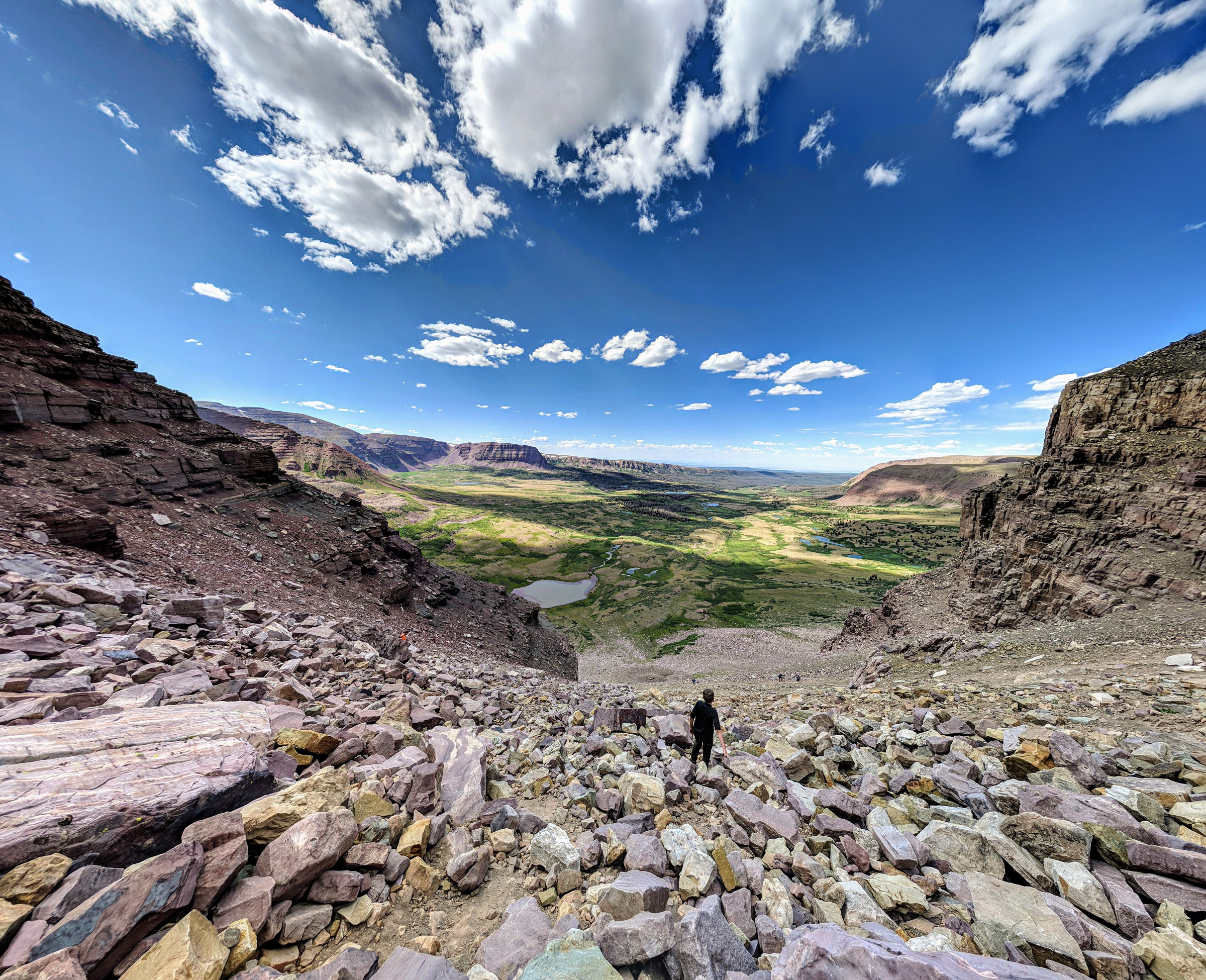
The High Uintas Wilderness is the high, remote core of Utah’s Uinta Mountains — a broad east–west alpine range of lakes, basins, passes, talus summits, lodgepole forest and long approaches. The Ashley National Forest describes the wilderness as about 453,900 acres, the largest wilderness in Utah, with elevations from about 7,500 ft to 13,528 ft on Kings Peak, hundreds of lakes and streams and roughly 545 miles of trails. Permits are not required for ordinary wilderness entry, but normal wilderness rules, fire restrictions, dog/stock rules and local closures still need checking before travel.
The walking character is big-country mountain hiking rather than short viewpoint walking. Most classic routes are long, high and exposed to afternoon thunderstorms, lingering snow, altitude, navigation problems, water crossings and rough dirt-road access. Some “day hikes” here are famous long-day exceptions that many parties sensibly split into an overnight backpack.
Selection rationale
Five hikes represent the essential High Uintas themes: the state high point, the Red Castle basin, one western high-lake basin from the Highline corridor, a south-side lake basin, and an east-side cirque below the Ostler Peak skyline. Kings Peak and Red Castle exceed normal day-hike distance but are included because they are defining routes for the region; only fit, acclimatised parties should attempt them in a single day under stable summer conditions.
Summary
| # | Hike | Route type | Distance | Gain | Max elevation | Difficulty |
|---|---|---|---|---|---|---|
| 1 | Kings Peak via Henrys Fork Trail | Out-and-back | 41.2 km | 1,285 m | 4,123 m | Very strenuous |
| 2 | Lower Red Castle Lake via East Fork Smiths Fork | Out-and-back | 31.2 km | 438 m | Unresolved | Moderate grade, strenuous distance |
| 3 | Naturalist Basin via Highline / Naturalist Basin / Blue Lake Trails | Out-and-back | 23.7 km | 606 m | Unresolved | Hard |
| 4 | Grandaddy Lake via Hades Pass Trail | Out-and-back | 11.9 km | 397 m | Unresolved | Moderate |
| 5 | Amethyst Lake via Stillwater Fork | Out-and-back | ~20–21 km | ~550–650 m | Unresolved | Hard |
1. Kings Peak via Henrys Fork Trail
Snapshot
Itinerary
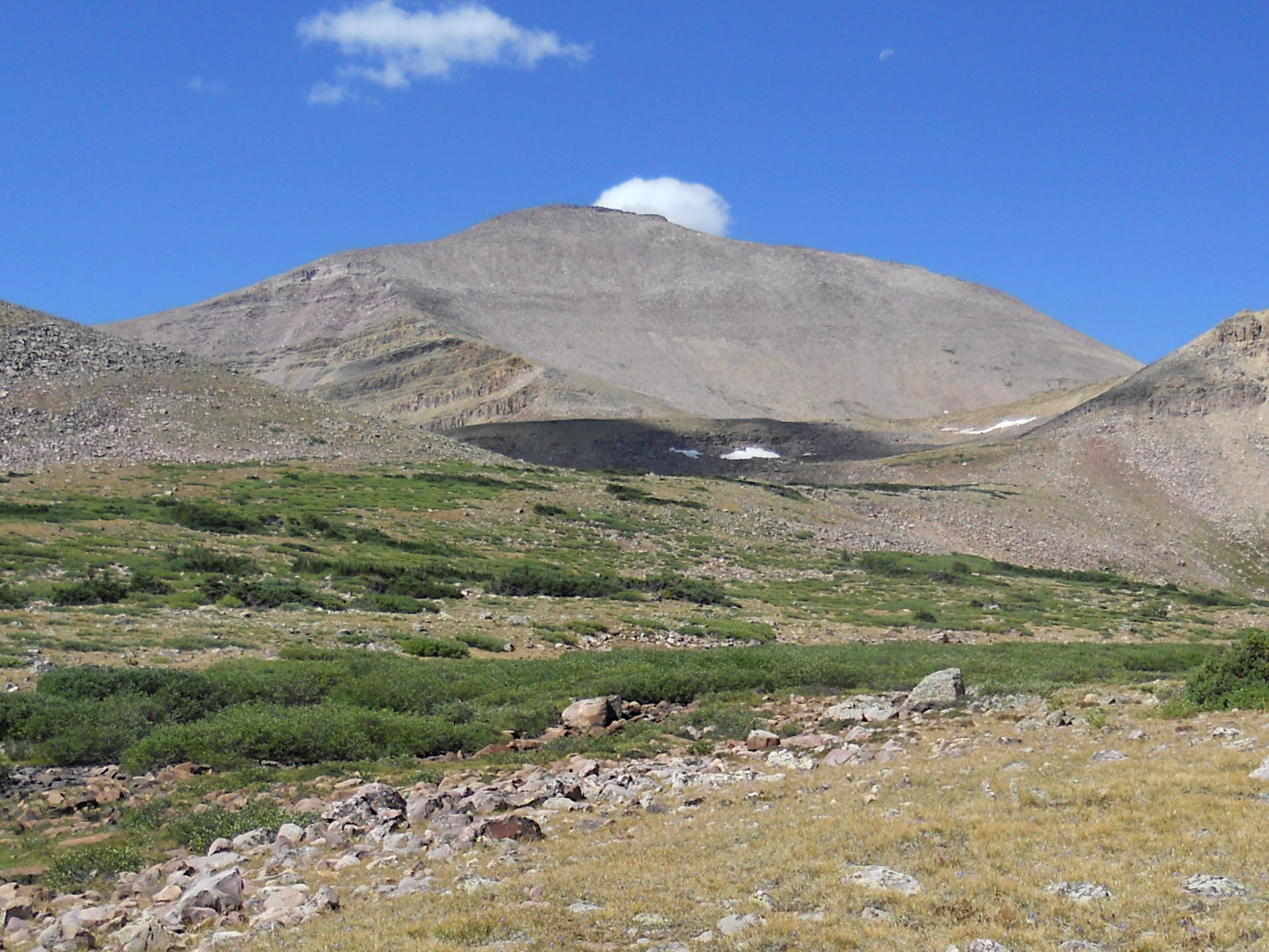
From Henrys Fork Trailhead, follow the Henrys Fork drainage into the high basin, past Dollar Lake and up toward Gunsight Pass. The common route then drops toward Upper Painter Basin, swings toward Anderson Pass, and follows the summit ridge and talus to Kings Peak. The final summit section is not a groomed path — expect boulder-hopping, exposure to weather and slower progress than the mileage alone suggests.
Why it is essential
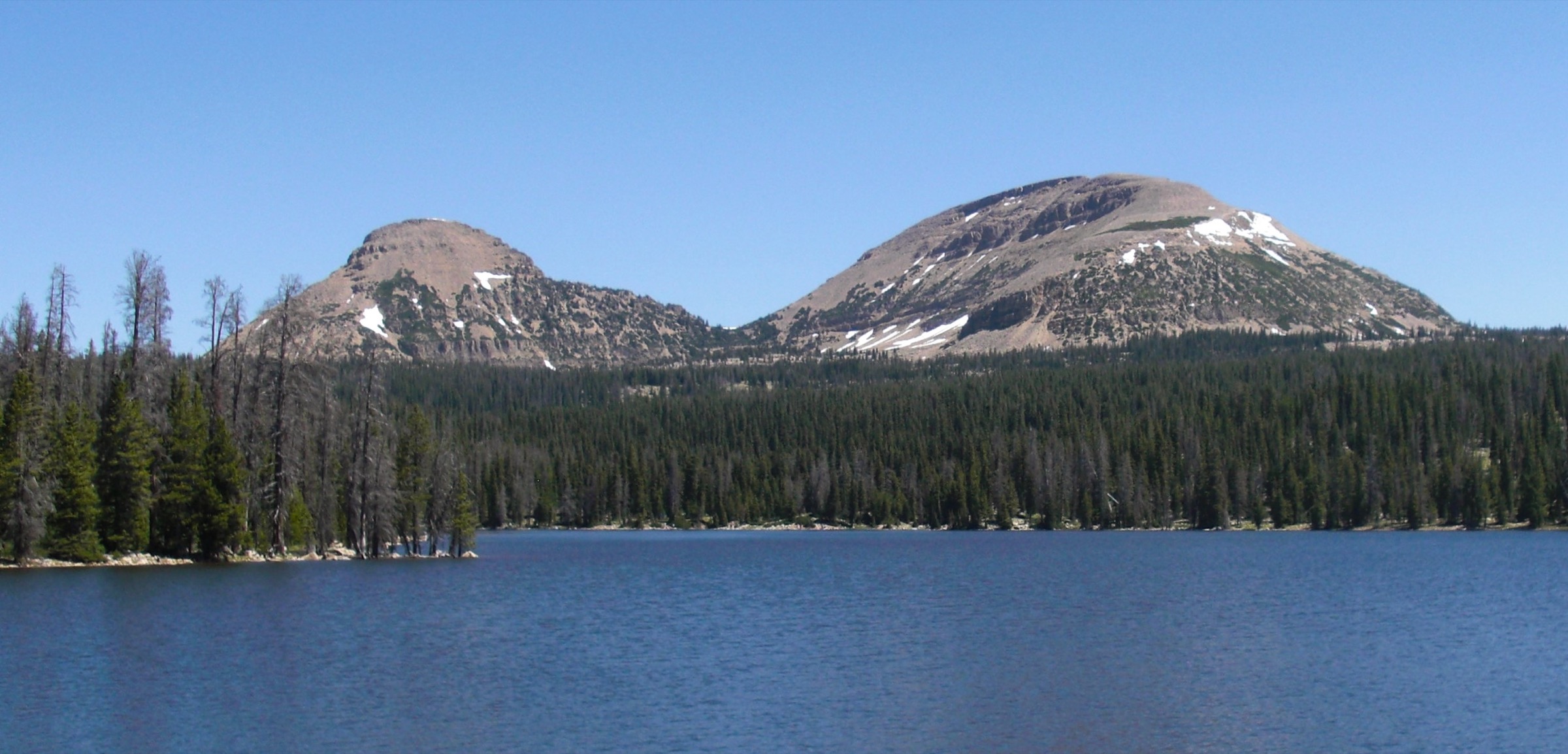
Kings Peak is Utah’s highest summit and the symbolic objective of the High Uintas. The route also gives a full cross-section of the wilderness — forested approach, meadow basin, high pass, tundra, talus and a broad roof-of-Utah summit.
Equipment
- Map and offline navigation
- Wind/rain shell and warm hat/gloves
- 3+ L water with treatment; high-energy food
- Sun protection, headtorch and first-aid kit
- Footwear suitable for talus; trekking poles helpful
- Traction and extra insulation if snow remains
Hazards and notes
- Altitude, distance and afternoon lightning above treeline are all serious.
- Cold wind, snowfields, boulder-hopping and route-finding near the pass and summit slow progress.
- Cell service is limited; carry a satellite messenger for emergency comms.
- Start before dawn if attempting the route in a single day.
GPX / route file
| Source | URL | Format | Notes |
|---|---|---|---|
| USFS TrailNFS — Henrys Fork Trail 4117 | apps.fs.usda.gov | USFS GeoJSON | Official approach-corridor geometry; reuse terms should be checked |
| USFS TrailNFS — Henrys Fork Basin Trail 4116 | apps.fs.usda.gov | USFS GeoJSON | Basin trail geometry; summit ridge still needs manual creation |
| AllTrails — Kings Peak (Utah high point) | alltrails.com | Third-party track | Do not redistribute AllTrails GPX without licence confirmation |
2. Lower Red Castle Lake via East Fork Smiths Fork
Snapshot
Itinerary
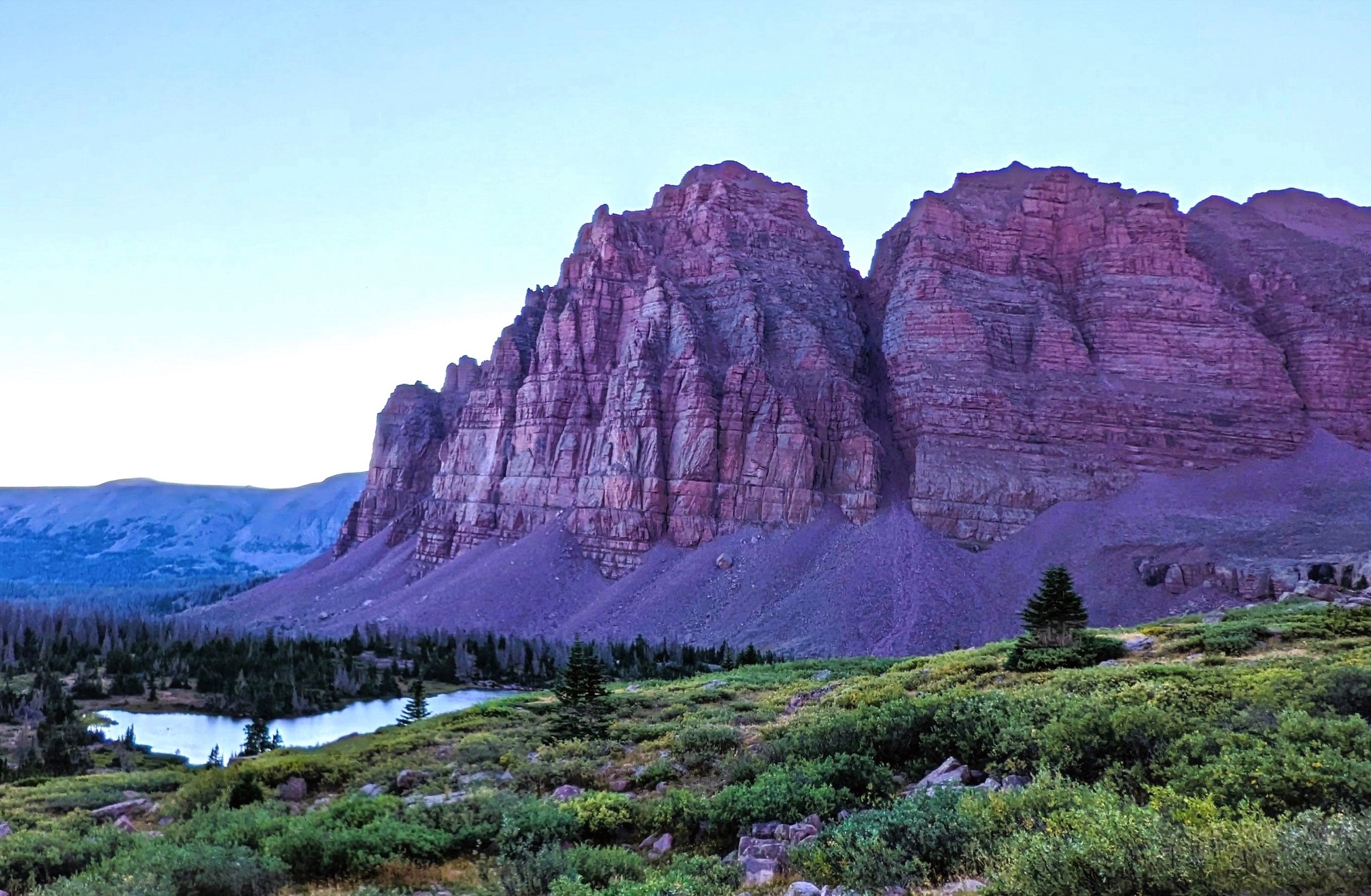
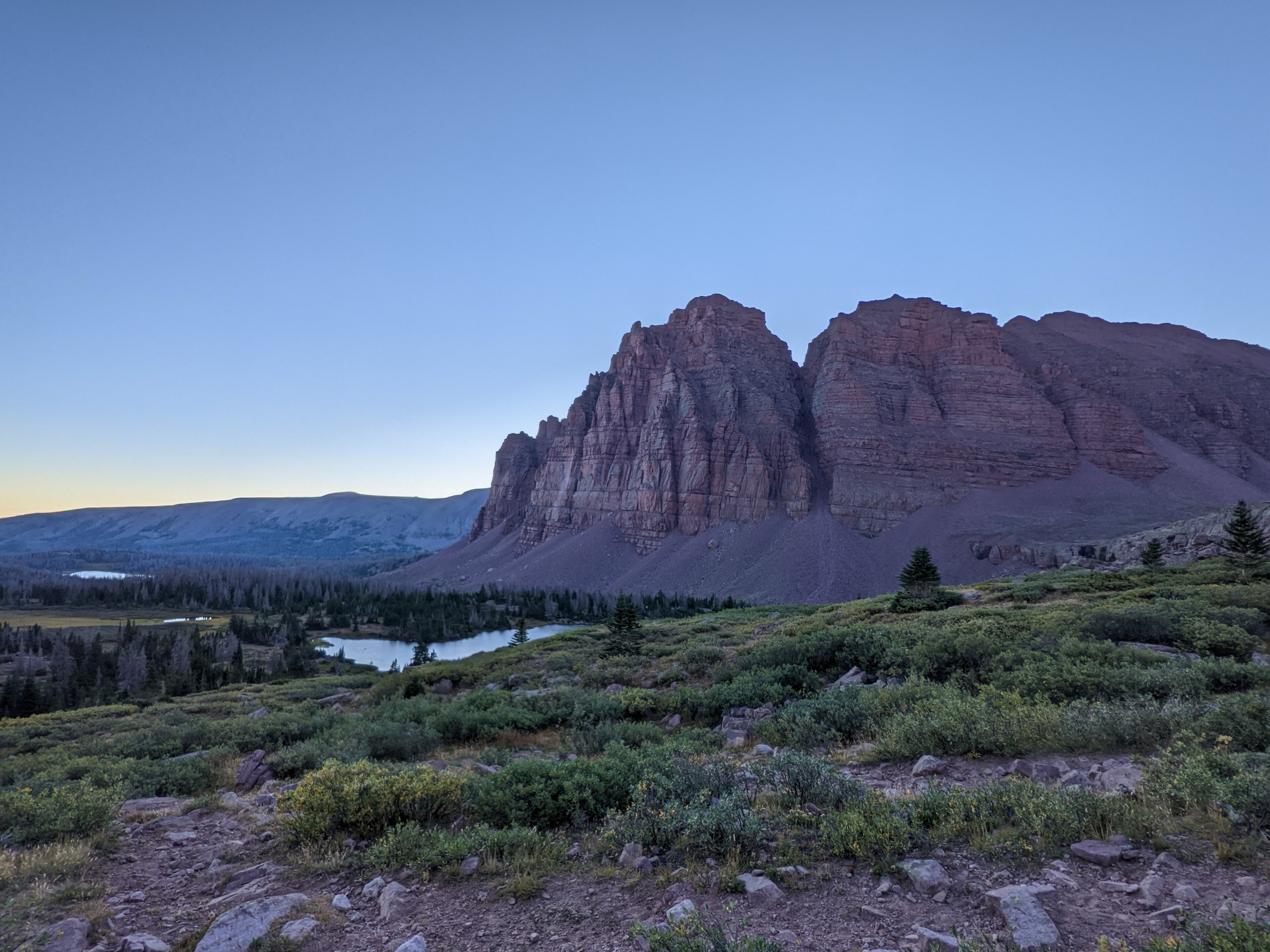
From China Meadows Trailhead, follow the East Fork Smiths Fork corridor gradually south into the Red Castle basin. The route climbs gently for much of the way, with open early sections, shaded forest, river travel, minor water crossings and boggy stretches before reaching Lower Red Castle Lake below the red quartzite walls.
Why it is essential
Red Castle is one of the most recognisable High Uintas lake basins and a classic introduction to the wilderness’s long, glacially carved valleys. The grade is forgiving compared with most summit hikes; the distance is the challenge.
Equipment
- Map / offline navigation
- Water treatment
- Rain shell, warm layer and sun protection
- Insect protection in summer
- Footwear that tolerates wet trail sections
- Headtorch for a long return
Hazards and notes
- Long distance, afternoon storms, water crossings, bogs and limited communications.
- Moose are present; give them a wide berth on the trail.
- Trailhead services (parking, campsites, water, toilets, corrals, stock ramp) reported by AllTrails but should be reconfirmed with Ashley National Forest.
GPX / route file
| Source | URL | Format | Notes |
|---|---|---|---|
| USFS TrailNFS — East Fork Smiths Fork Trail 4110 | apps.fs.usda.gov | USFS GeoJSON | Official main-corridor geometry |
| AllTrails — Lower Red Castle Lake via E. Fork Smiths Fork | alltrails.com | Third-party track | Do not redistribute AllTrails GPX without licence confirmation |
3. Naturalist Basin via Highline, Naturalist Basin and Blue Lake Trails
Snapshot
Itinerary
From the Highline Trailhead near Hayden Pass, the Highline Trail heads east through rolling high country before dropping toward the Naturalist Basin turn-off. The route enters Naturalist Basin and continues to the lake shelves — with options toward Jordan Lake, Blue Lake and the benches holding Shaler, Faxon and LeConte Lakes. AllTrails notes that the Highline Trail drops and climbs early rather than simply contouring, so the return keeps some real work.
Why it is essential
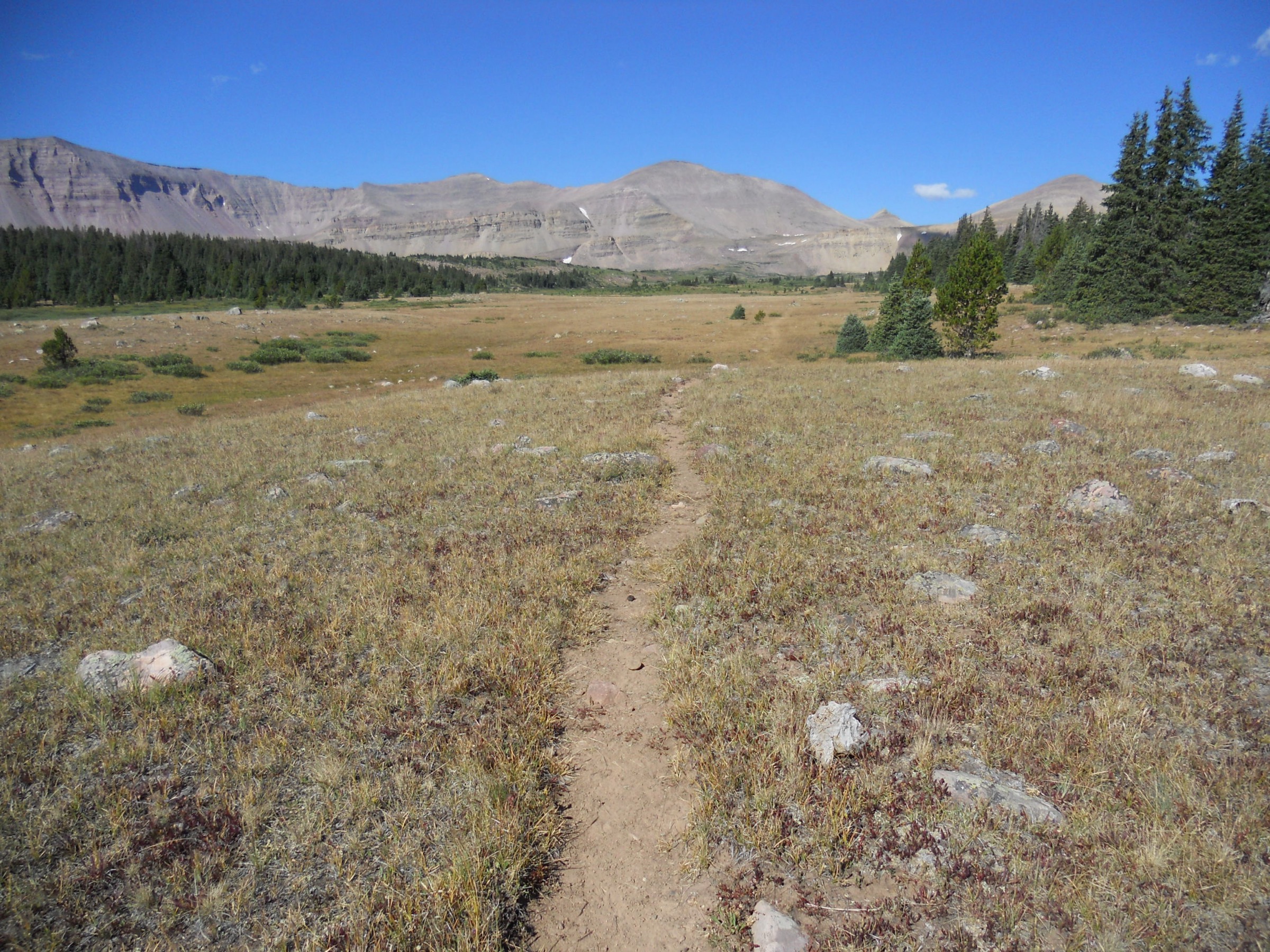
Naturalist Basin samples one of the western High Uintas’ best-known high-lake basins without committing to the full Highline traverse. It is a compact way to experience the lake shelves, open basins and high-elevation feel of the range.
Equipment
- Map / offline navigation
- Rain shell and insulation
- Sun protection, water treatment and mosquito protection
- Footwear for rocky trail
- Headtorch if adding lake detours
Hazards and notes
- Altitude and rapidly changing weather; afternoon lightning is a real risk.
- Rough / rocky trail and boggy lake-basin sections in early season.
- Navigation complexity if exploring side lakes.
- Trailhead sits inside the Mirror Lake Scenic Corridor fee area — check current fees and closures.
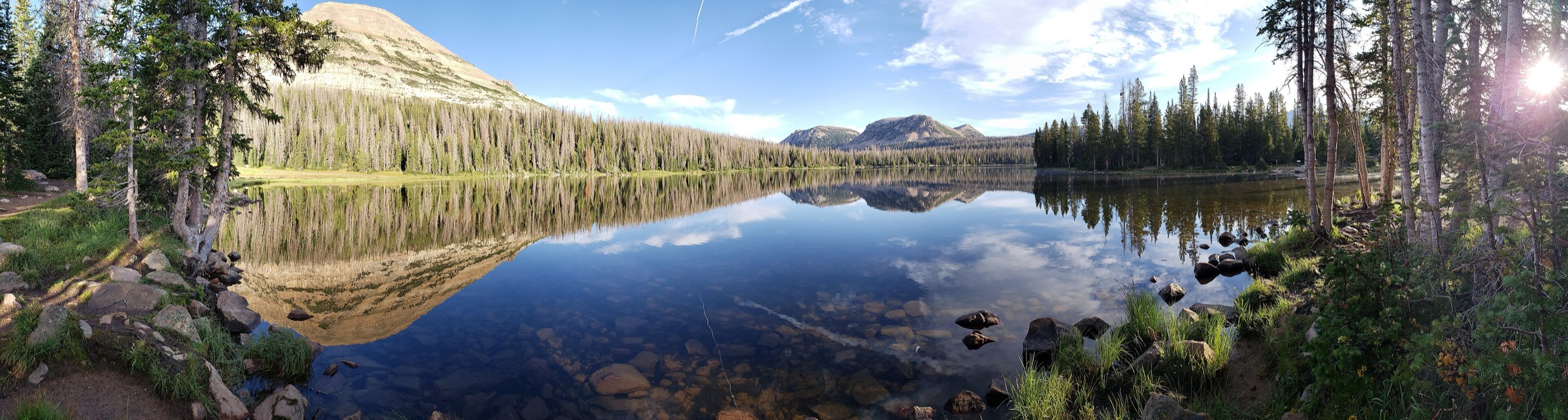
- The figure above is a Highline Trail corridor image (Painter Basin), not a route-exact Naturalist Basin photo.
GPX / route file
| Source | URL | Format | Notes |
|---|---|---|---|
| USFS TrailNFS — Highline Trail 3105 | apps.fs.usda.gov | USFS GeoJSON | Official approach-corridor geometry |
| USFS TrailNFS — Naturalist Basin Trail 3106 | apps.fs.usda.gov | USFS GeoJSON | Basin trail geometry |
| USFS TrailNFS — Blue Lake Trail 3101 | apps.fs.usda.gov | USFS GeoJSON | Useful for lake-side geometry |
| AllTrails — Naturalist Basin | alltrails.com | Third-party track | Do not redistribute AllTrails GPX without licence confirmation |
4. Grandaddy Lake via Hades Pass Trail
Snapshot
Itinerary
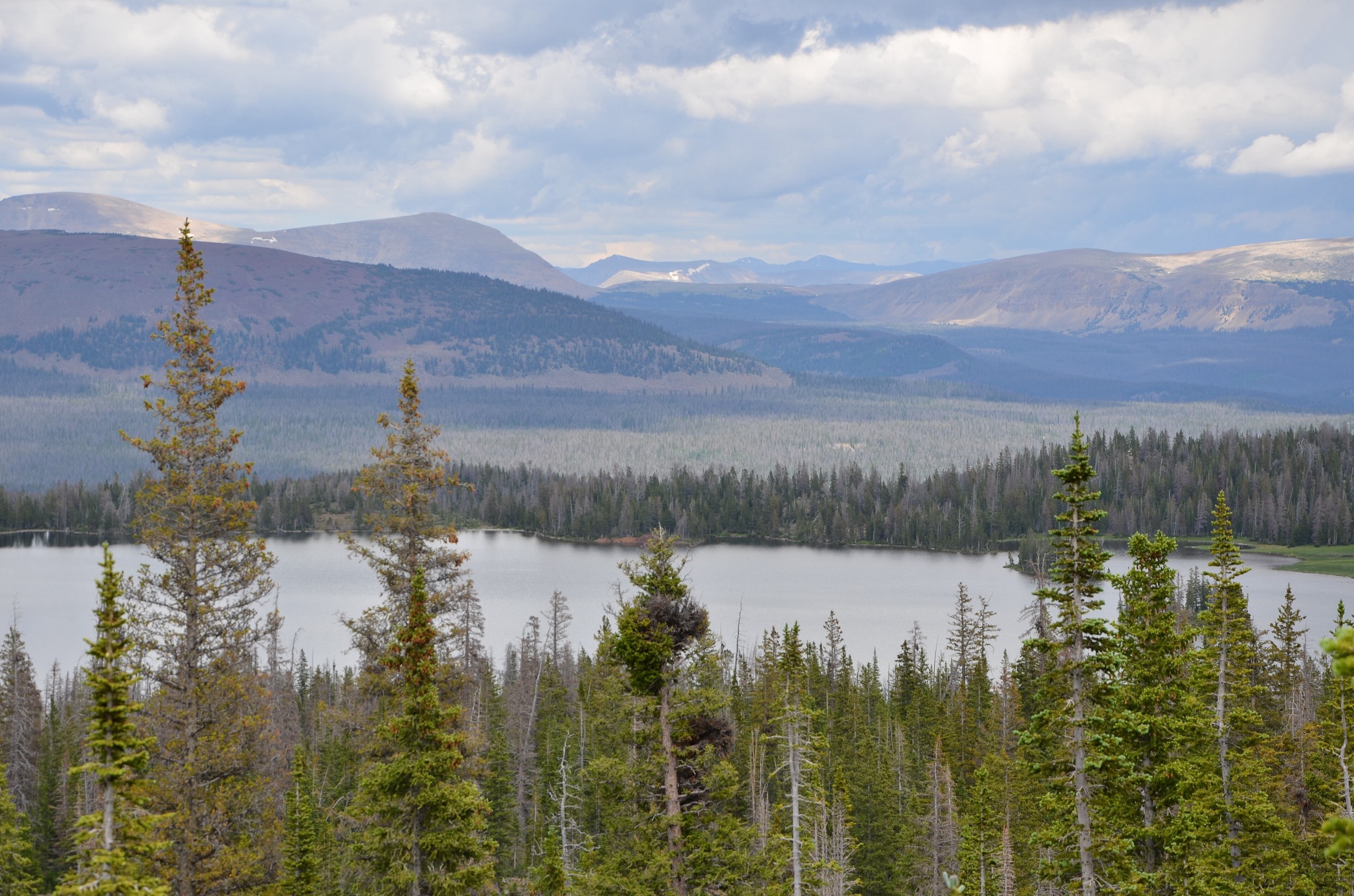
From Grandview Trailhead, the route climbs steadily toward Hades Pass and then descends toward Grandaddy Lake, one of the major lake basins on the south side of the High Uintas. AllTrails notes rocky and sandy trail sections and a rough access road.
Why it is essential
Grandaddy gives the south side of the High Uintas a place in the set — a classic lake destination reached from the Duchesne / Hanna approach rather than the Mirror Lake Highway or the Wyoming side.
Equipment
- Offline map
- Rain shell and warm layer
- Water treatment and sun protection
- Sturdy footwear
- High-clearance vehicle strongly recommended for the Grandview access road
Hazards and notes
- Rough road access can be muddy, snow-covered or impassable outside the main season.
- Altitude, thunderstorms, rocky tread and limited cell service.
- Remote rescue logistics — carry a satellite messenger.
GPX / route file
| Source | URL | Format | Notes |
|---|---|---|---|
| USFS TrailNFS — Hades / Rocky Sea Pass Trail 1074 | apps.fs.usda.gov | USFS GeoJSON | Official pass-corridor geometry |
| USFS TrailNFS — Fish Creek / Grandaddy Trail 1076 | apps.fs.usda.gov | USFS GeoJSON | South-side basin geometry |
| AllTrails — Grandaddy Lake via Grandview Trail | alltrails.com | Third-party track | Do not redistribute AllTrails GPX without licence confirmation |
5. Amethyst Lake via Stillwater Fork
Snapshot
Itinerary
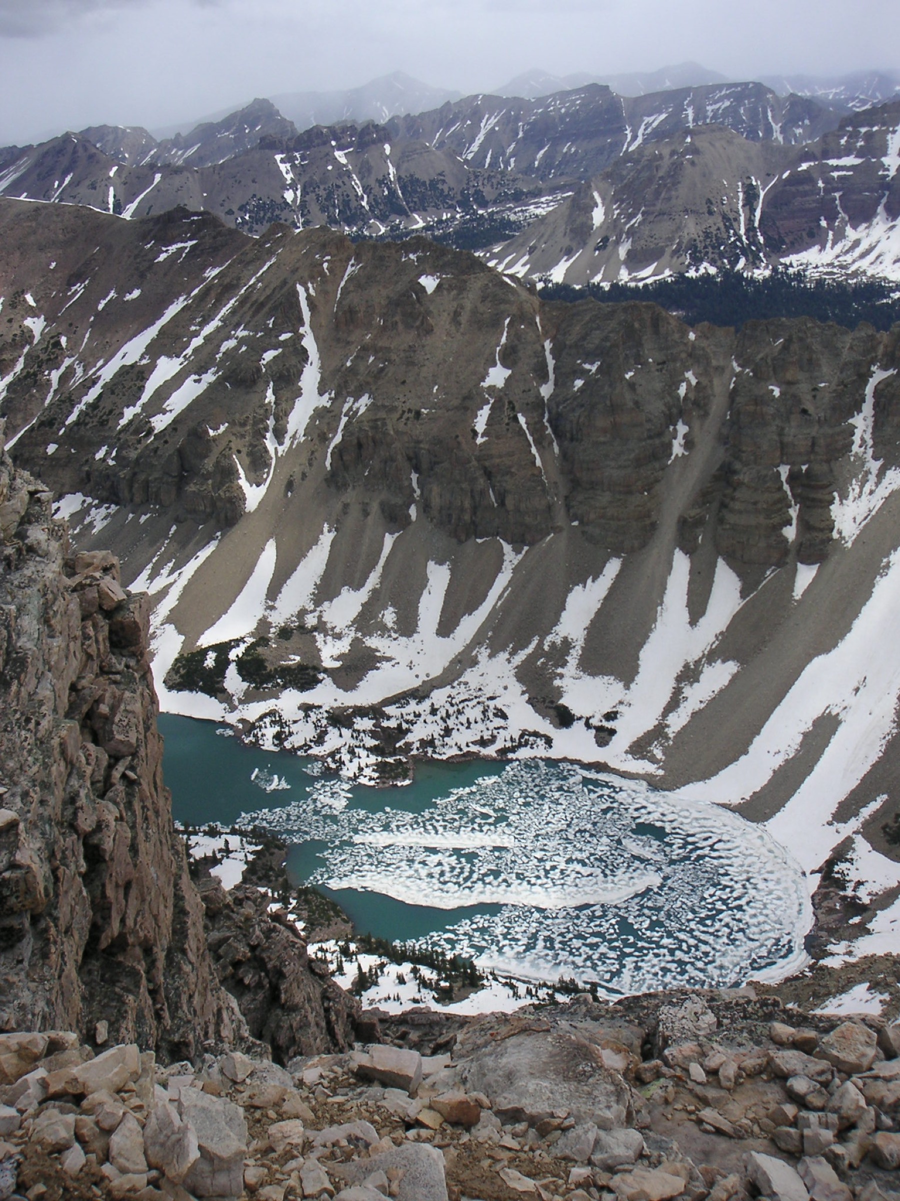
From the Christmas Meadows / Stillwater Fork approach, the route follows the Stillwater Fork trail into the high valley and takes the Amethyst Lake branch into the cirque below Ostler Peak, Spread Eagle Peak and the surrounding Uinta skyline. Return the same way. The basin is one of the classic east-side alpine lake destinations in the wilderness.
Why it is essential
Amethyst Lake and the Ostler Peak cirque are among the most distinctive eastern High Uintas landscapes. The route balances the region list with a high alpine lake / cirque outing that is not based on the Henrys Fork, Red Castle or Mirror Lake Highway corridors.
Equipment
- Offline navigation and water treatment
- Rain shell and insulation
- Sun protection and insect protection
- Footwear for rocky / wet trail
- Enough food and a headtorch for a long remote day
Hazards and notes
- Remoteness, altitude, thunderstorms, wet trail and navigation at junctions.
- Wildlife encounters (including moose) are possible.
- Route statistics here are approximate — replace with a measured GPX / DEM calculation before publishing a precise profile.
GPX / route file
| Source | URL | Format | Notes |
|---|---|---|---|
| USFS TrailNFS — Stillwater Trail 4098 | apps.fs.usda.gov | USFS GeoJSON | Official approach-corridor geometry |
| USFS TrailNFS — Amethyst Lake Trail 4149 | apps.fs.usda.gov | USFS GeoJSON | Official geometry for the Amethyst Lake branch |
Further reading
| Source | URL |
|---|---|
| Ashley National Forest — recreation | fs.usda.gov |
| Ashley National Forest — High Uintas Wilderness | fs.usda.gov |
| Uinta-Wasatch-Cache National Forest — recreation | fs.usda.gov |
| Mirror Lake Scenic Byway | fs.usda.gov |
| USFS TrailNFS ArcGIS service | apps.fs.usda.gov |
| Wikimedia Commons — Category: Uinta Mountains | commons.wikimedia.org |
| OpenStreetMap (ODbL 1.0) | openstreetmap.org |