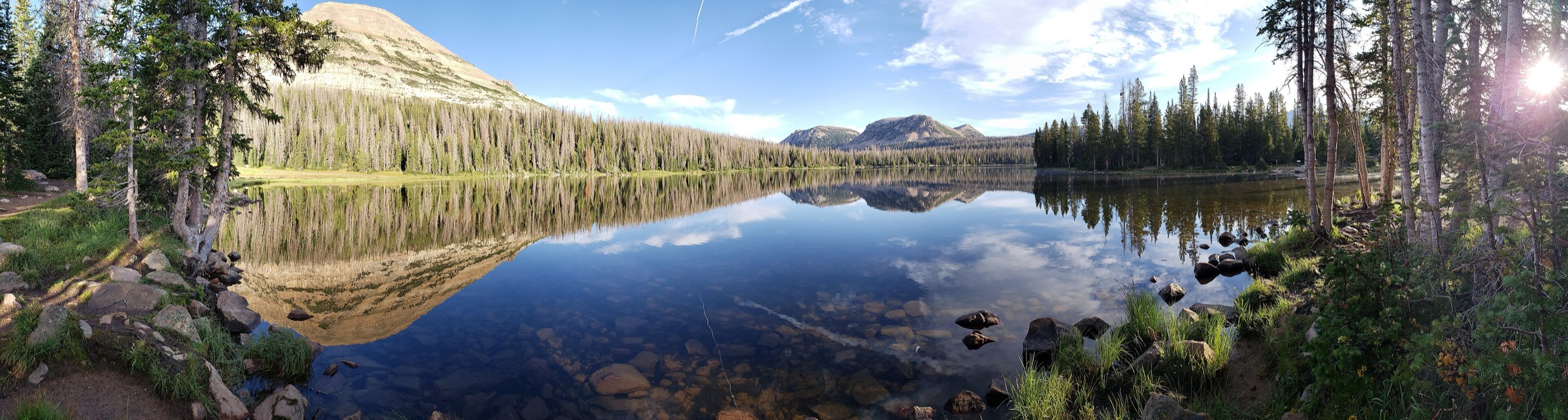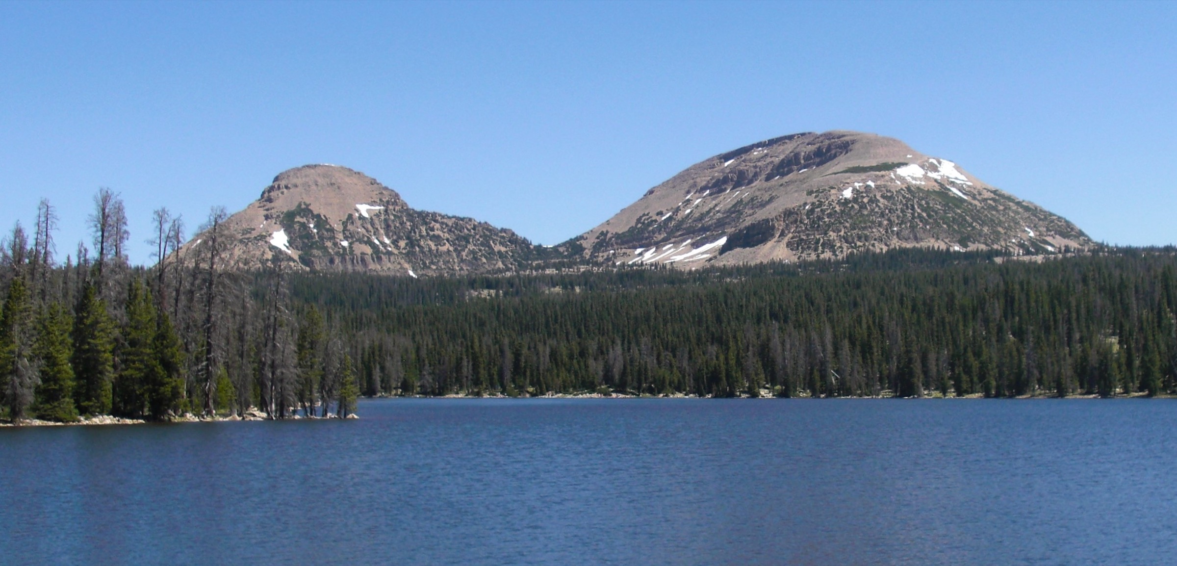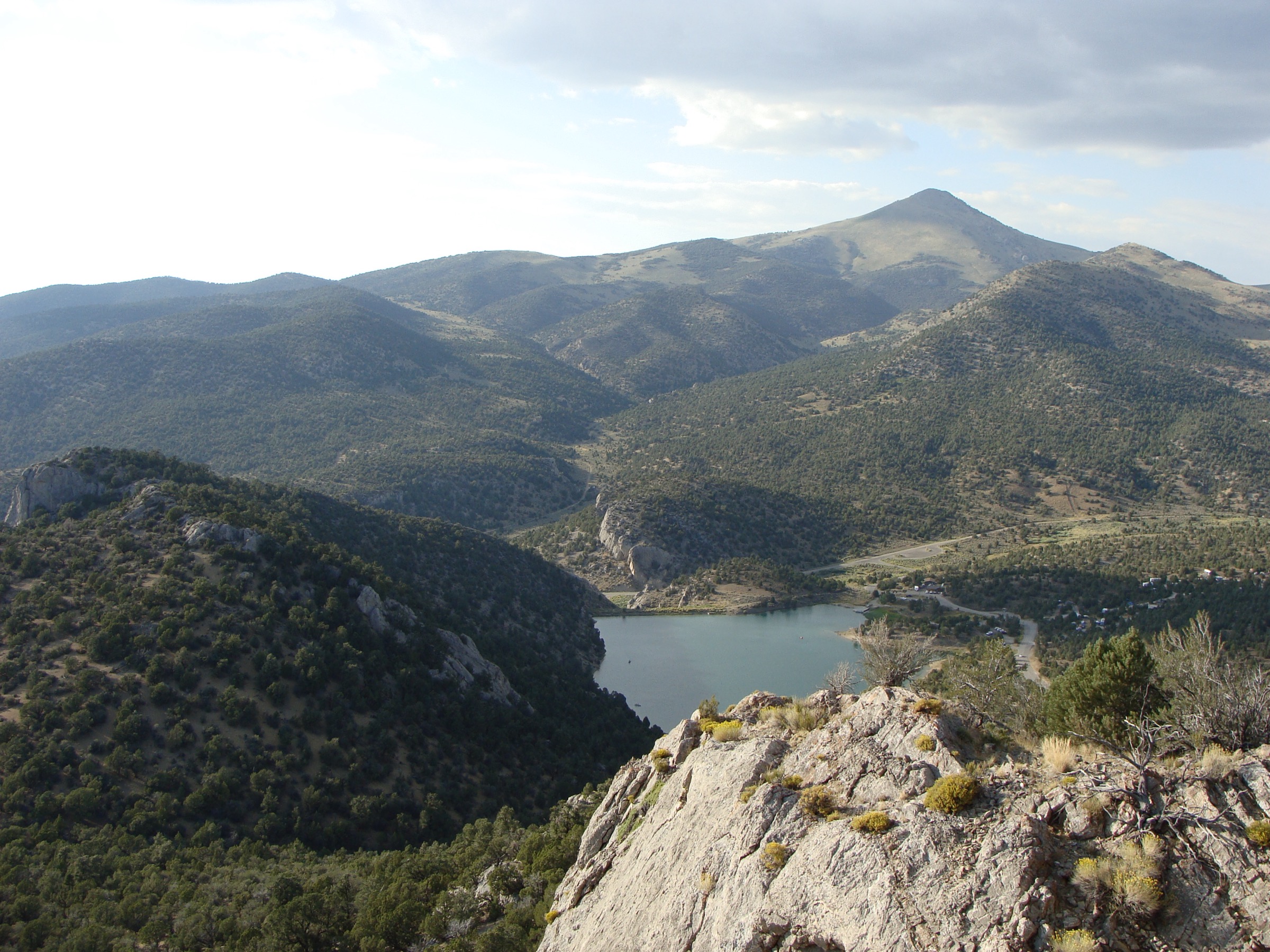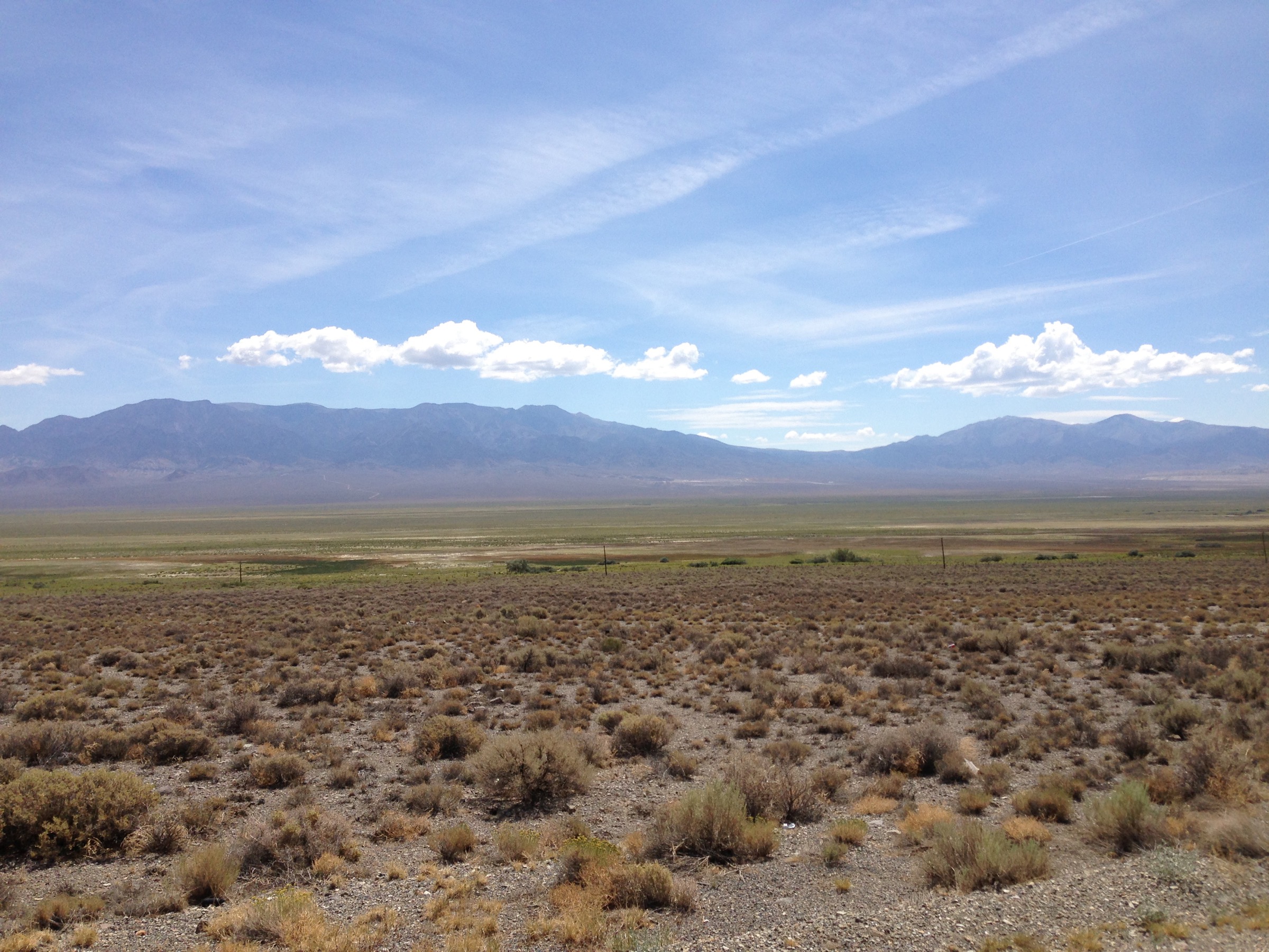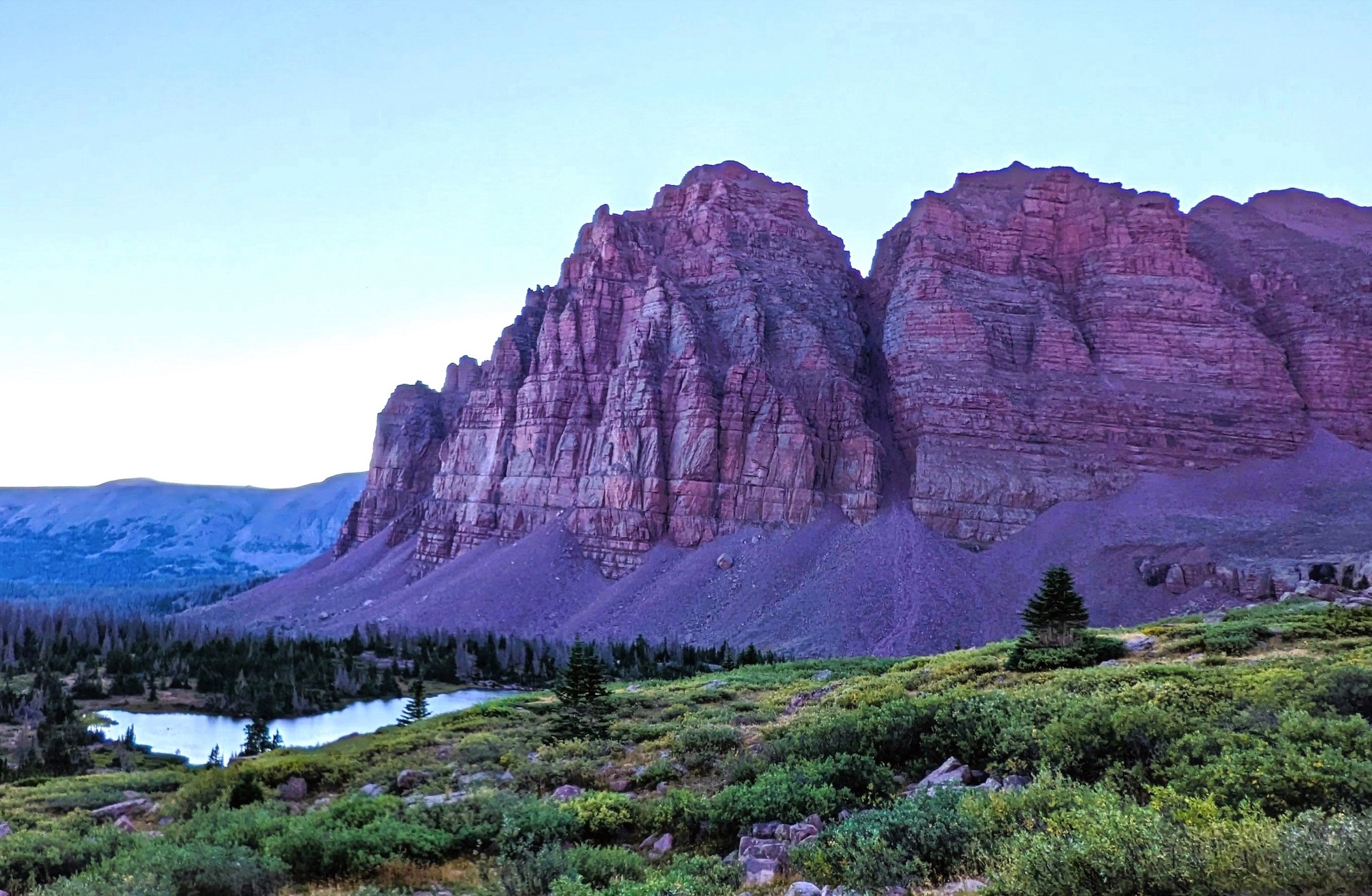
Regional overview
The eastern Uintas are the longer, remoter side of the range: Ashley National Forest, the High Uintas Wilderness east of the Mirror Lake Highway core, the Henrys Fork and China Meadows approaches from the north, the Grandview / Hades Pass approach from the south and the Chepeta / Whiterocks side of the eastern Highline. The country is high, lake-filled and comparatively remote, with rough roads, long approaches and fewer short roadside options than the western Uintas.
Day hikes here often sit at the upper end of the catalogue limits. Kings Peak is included as a famous strenuous exception because it is Utah’s highest point and the defining summit of the range; many parties still treat it as an overnight. Red Castle, Grandaddy Lake, Burnt Fork / Round Lake and Whiterocks Lake balance that summit objective with major lake basins and eastern Highline terrain.
Typical hiking season is July through September, with snow possible earlier and storms possible throughout summer. Public transport was not verified for any trailhead. Private vehicle access, seasonal road checks, offline navigation and conservative turnaround planning are essential.
For neighbouring Utah / Great Basin ranges in the same broader taxonomy, see the sister catalogues on the Wasatch Range — Salt Lake City Wasatch and Northern Wasatch.
See also: Salt Lake City Wasatch · Northern Wasatch · Big and Little Cottonwood Canyons.
Selection rationale
The five hikes were selected to represent the eastern Uintas without making the list only a Kings Peak approach variant: the state high point via Henrys Fork, the iconic Red Castle lake basin, the Grandaddy Basin classic from Grandview, the rough Burnt Fork route to Round Lake and a shorter eastern Highline day to Whiterocks Lake. All five have checked route statistics from current trail databases or route guides, with official USFS TrailNFS geometry found for the key named trail segments.
Summary
| # | Hike | Trailhead | Route type | Distance | Gain | Max elevation | Difficulty |
|---|---|---|---|---|---|---|---|
| 1 | Kings Peak via Henrys Fork | Henrys Fork Trailhead | Out-and-back summit | 40–41 km | ~1,280–1,285 m | 4,123 m (13,528 ft) | Hard / very strenuous |
| 2 | Lower Red Castle Lake via East Fork Smiths Fork | East Fork Smiths Fork / China Meadows | Out-and-back lake | 31.2 km | 438 m | ~3,281 m (10,764 ft) | Moderate–hard / long |
| 3 | Grandaddy Lake via Hades Pass Trail | Grandview Trailhead | Out-and-back lake | 11.9 km | 397 m | ~3,242 m (10,636 ft) at Hades Pass | Moderate |
| 4 | Round Lake via Burnt Fork | Burnt Fork Trail access, Hoop Lake Road | Out-and-back lake | 21.1 km | 468 m | Unresolved | Hard |
| 5 | Whiterocks Lake via Uinta Highline Trail | Chepeta / eastern Highline access | Out-and-back lake | 13.1–13.2 km | 267 m | 3,219 m (10,561 ft) | Moderate |
1. Kings Peak via Henrys Fork
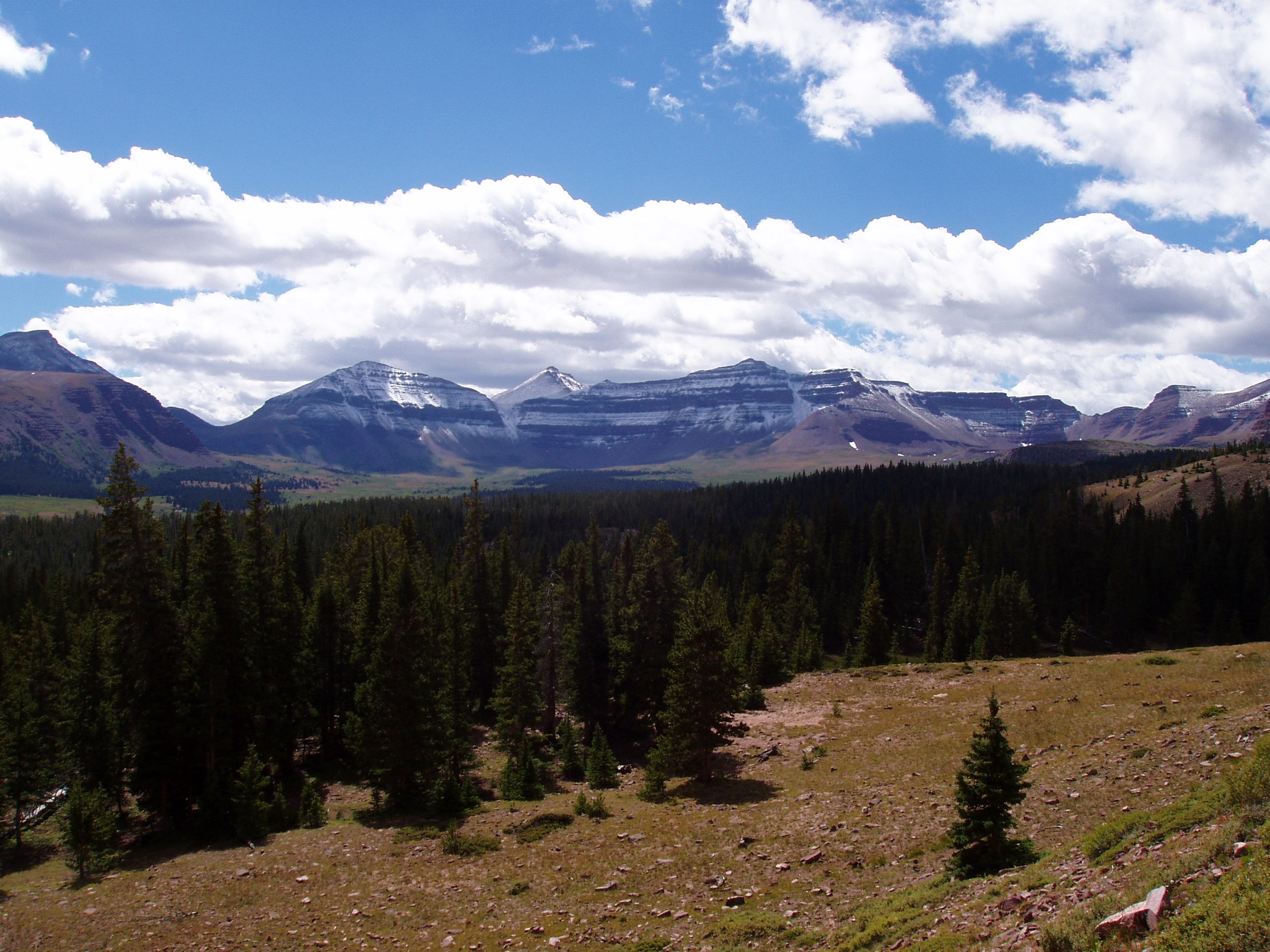
Snapshot
Itinerary
From Henrys Fork Trailhead, follow the Henrys Fork Trail past Dollar Lake and Henrys Fork Lake toward Gunsight Pass. Cross Gunsight Pass, descend into Upper Painter Basin, then continue toward Anderson Pass. From Anderson Pass, leave the easier trail walking and climb the north ridge of Kings Peak over rough boulders to Utah’s highest summit. Return by the same route unless deliberately using a mapped variant.
Why it is essential
Kings Peak is Utah’s highest mountain and the defining objective of the High Uintas. It is retained as a strenuous exception because of its national and regional significance, not because it is an ordinary day hike.
Equipment
- Sturdy boots
- Headlamp
- Water treatment
- Substantial food
- Rain shell and warm layer
- Gloves and hat
- Offline map and GPS
- Emergency insulation
- Sun protection
- Trekking poles
- Microspikes, snowshoes, crampons or ice axe outside the snow-free summer window
Hazards and notes
- Extreme distance and altitude.
- Storm and lightning exposure on the summit ridge.
- Off-trail boulder travel on the north ridge.
- Route-finding near passes.
- Limited water on some upper variants.
- Dogs may struggle or injure paws on the summit boulders.
GPX / route file
| Source | URL | Format | Notes |
|---|---|---|---|
| AllTrails — Kings Peak via Henrys Fork Trail | alltrails.com | Source route map | AllTrails terms apply; direct GPX not retrieved |
| USFS TrailNFS — Henrys Fork #4117 | apps.fs.usda.gov | GeoJSON | Official geometry for the Henrys Fork approach segment |
| USFS TrailNFS — Henrys Fork Basin #4116 | apps.fs.usda.gov | GeoJSON | Official geometry for Henrys Fork Basin segments; summit boulder route remains a manual assembly task |
Sources
- AllTrails — Kings Peak via Henrys Fork Trail
- AllTrails — High Uintas Wilderness trail index
- Wikipedia — Kings Peak (Utah)
- Wikipedia — Uinta Highline Trail
- USDA Forest Service — TrailNFS public GIS layer
- Wikimedia Commons — Kings Peak, Uinta Mountains
2. Lower Red Castle Lake via East Fork Smiths Fork
Snapshot
Itinerary
From the East Fork Smiths Fork trailhead area, follow the East Fork Smiths Fork corridor on a gradual high-country approach toward Red Castle. The route passes exposed early miles, river and forest sections, minor crossings and boggy ground before reaching Lower Red Castle Lake below the red-walled Red Castle massif. Return by the same route.
Why it is essential
Red Castle is one of the most recognisable formations in the High Uintas, and Lower Red Castle Lake is the most practical day-hike objective in that basin for very fit hikers.
Equipment
- Sturdy boots
- Headlamp
- Rain shell and warm layer
- Water treatment and food
- Sun protection
- Insect protection
- Offline map and GPS
- Trekking poles for wet or boggy sections and the long return
Hazards and notes
- Long day despite relatively modest elevation gain.
- Heat and sun exposure in the early miles.
- Thunderstorms and lightning in the afternoons.
- River crossings and boggy ground.
- Mosquitoes and remote wildlife.
- Start early and carry a headlamp.
GPX / route file
| Source | URL | Format | Notes |
|---|---|---|---|
| AllTrails — Lower Red Castle Lake via East Fork Smiths Fork | alltrails.com | Source route map | AllTrails terms apply; direct GPX not retrieved |
| USFS TrailNFS — East Fork Smiths Fork #4110 | apps.fs.usda.gov | GeoJSON | Official geometry for the East Fork Smiths Fork trail corridor |
Sources
- AllTrails — Lower Red Castle Lake via East Fork Smiths Fork
- Wikipedia — Red Castle (Utah)
- Mapcarta — Lower Red Castle Lake
- USDA Forest Service — TrailNFS public GIS layer
- Wikimedia Commons — Red Castle in the Uinta Mountains
3. Grandaddy Lake via Hades Pass Trail
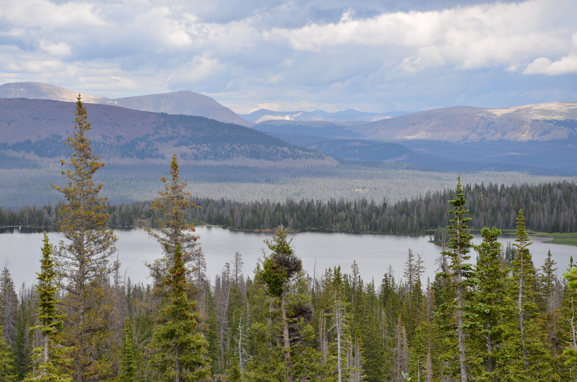
Snapshot
Itinerary
From Grandview Trailhead, follow the Hades Pass / Grandaddy Lake approach over Hades Pass into the Grandaddy Basin. The route descends toward Grandaddy Lake, with options to view nearby Heart and Betsy Lakes if time and conditions allow. Return over Hades Pass to the same trailhead.
Why it is essential
Grandaddy Lake is one of the classic Ashley National Forest lake-basin day hikes: a manageable distance, a real high pass and access to a broad basin of lakes without the extreme length of Kings Peak or Red Castle.
Equipment
- Sturdy footwear
- Warm and rain layers
- Water and food
- Sun protection
- Insect protection
- Offline navigation
- Trekking poles for the pass descent and return climb
Hazards and notes
- Trailhead is remote and reached by a sequence of paved, dirt and steep forest roads.
- AllTrails notes 50 parking places, toilets and stock facilities at Grandview, but current facilities and road condition should be checked before departure.
- Snow, mosquitoes and thunderstorms are normal seasonal concerns.
GPX / route file
| Source | URL | Format | Notes |
|---|---|---|---|
| AllTrails — Grandaddy Lake via Grandview Trail | alltrails.com | Source route map | AllTrails terms apply; direct GPX not retrieved |
| USFS TrailNFS — Hades-Rocky Sea Pass #1074 | apps.fs.usda.gov | GeoJSON | Official geometry for the Hades Pass corridor; exact AllTrails route assembly still needs final GIS work |
Sources
- AllTrails — Grandaddy Lake via Grandview Trail
- AnyPlace America — Grandaddy Lake elevation
- YellowMaps — Hades Pass / Grandaddy Lake USGS topo
- USDA Forest Service — TrailNFS public GIS layer
- Wikimedia Commons — Grandaddy Lake, Ashley NF
4. Round Lake via Burnt Fork
Snapshot
Itinerary
From the Burnt Fork access near Hoop Lake Road, follow the Burnt Fork Trail south. The 10Adventures route guide describes following the trail for about 4.7 km before branching southwest toward Round Lake. Return by the same route. This is a rougher, less-developed eastern-Uinta lake objective than the main Mirror Lake Highway hikes.
Why it is essential
Round Lake via Burnt Fork represents the more secluded eastern-Uinta hiking character: longer access, rougher tread, less frequent traffic and a high lake reached by a route where navigation matters.
Equipment
- Sturdy boots
- Map and GPS
- Rain shell and warm layer
- Water treatment
- Headlamp
- Food
- Sun protection
- Insect protection
- Trekking poles recommended
Hazards and notes
- 10Adventures specifically notes rugged trail and route-finding needs, and recommends a map / GPS.
- The route is long enough that a late finish is possible; carry a headlamp.
- Remote access, poor signage, mosquitoes, storms and possible wet or muddy travel.
- Exact maximum elevation and publication-ready route geometry need follow-up.
GPX / route file
| Source | URL | Format | Notes |
|---|---|---|---|
| AllTrails — Round Lake via Burnt Fork | alltrails.com | Source route map | AllTrails terms apply; direct GPX not retrieved |
| 10Adventures — Round Lake via Burnt Fork | 10adventures.com | Route guide / map page | 10Adventures terms apply; GPS-file reuse not assessed |
| USFS TrailNFS — Burnt Fork #4125 | apps.fs.usda.gov | GeoJSON | Official geometry for Burnt Fork segments; the offshoot to Round Lake needs route assembly |
Sources
- AllTrails — Round Lake via Burnt Fork
- 10Adventures — Round Lake via Burnt Fork
- USDA Forest Service — TrailNFS public GIS layer
- Wikimedia Commons — High Uintas Wilderness
5. Whiterocks Lake via Uinta Highline Trail
Snapshot
Itinerary
From the eastern Highline / Chepeta access, follow the Uinta Highline corridor toward Whiterocks Lake. The route is a shorter eastern-Uinta Highline sample than the full multi-day Highline traverse, reaching a high lake / reservoir setting before returning the same way.
Why it is essential
Whiterocks Lake gives the eastern-Uintas article a true east-end Highline day hike: shorter than the major overnight traverses, but still representative of Ashley National Forest’s high lake country and the range’s east-side access.
Equipment
- Sturdy footwear
- Water and food
- Rain shell and warm layer
- Sun protection
- Insect protection
- Offline navigation
- Extra layers for high, exposed terrain
Hazards and notes
- Route is high and remote despite moderate distance.
- Weather exposure at all times.
- Snow or wet ground outside peak season.
- Rough road access to the Chepeta trailhead.
- Navigation on the Highline corridor.
- Limited services in the eastern Uintas.
GPX / route file
| Source | URL | Format | Notes |
|---|---|---|---|
| AllTrails — Whiterocks Lake / West Fork Whiterocks listing | alltrails.com | Source route map | AllTrails terms apply; direct GPX not retrieved |
| Hiiker — Whiterocks Lake via Uinta Highline Trail | hiiker.app | Route page | GPX export advertised; reuse terms not assessed |
| Hiiker — route stages / export page | hiiker.app | Route stage page | Potential GPX source; reuse terms unresolved |
| USFS TrailNFS — Whiterocks Lake #0124 | apps.fs.usda.gov | GeoJSON | Official geometry for the Whiterocks Lake Trail segment |
| USFS TrailNFS — Uinta Highline #1025 | apps.fs.usda.gov | GeoJSON | Official geometry for eastern Highline segments |
Sources
- AllTrails — West Fork Whiterocks / nearby Whiterocks Lake route card
- Hiiker — Whiterocks Lake via Uinta Highline Trail
- Hiiker — route stages / export page
- TopoZone — Whiterocks Lake
- USDA Forest Service — TrailNFS public GIS layer
- Wikimedia Commons — High Uintas Wilderness
Region-level sources
| Source | URL |
|---|---|
| USFS — Ashley National Forest overview | fs.usda.gov |
| USFS TrailNFS ArcGIS service | apps.fs.usda.gov |
| AllTrails — High Uintas Wilderness trail index | alltrails.com |
| AllTrails — Kings Peak via Henrys Fork | alltrails.com |
| AllTrails — Lower Red Castle Lake via East Fork Smiths Fork | alltrails.com |
| AllTrails — Grandaddy Lake via Grandview Trail | alltrails.com |
| AllTrails — Round Lake via Burnt Fork | alltrails.com |
| 10Adventures — Round Lake via Burnt Fork | 10adventures.com |
| Hiiker — Whiterocks Lake via Uinta Highline Trail | hiiker.app |
| Wikipedia — Uinta Mountains | en.wikipedia.org |
| Wikipedia — Uinta Highline Trail | en.wikipedia.org |
| Wikimedia Commons — Red Castle in the Uinta Mountains (cover) | commons.wikimedia.org |
| Wikimedia Commons — Kings Peak, Uinta Mountains | commons.wikimedia.org |
| Wikimedia Commons — Grandaddy Lake, Ashley NF | commons.wikimedia.org |
| Wikimedia Commons — High Uintas Wilderness | commons.wikimedia.org |
Further reading
- Salt Lake City Wasatch — essential day-hikes — the front-range trail system directly west across Parleys and Emigration Canyons
- Northern Wasatch — essential day-hikes — the Ogden and Bear River divide corridor north of the Uintas
- Big and Little Cottonwood Canyons — essential day-hikes — the classic Wasatch lake and ridge days south-west of Park City
Missing data / follow-up work
- No fully cleared downloadable GPX files were retrieved; Hiiker advertises export for Whiterocks Lake and USFS TrailNFS provides GeoJSON trail-segment geometry, but final project geometry should be assembled and licence-reviewed.
- Maximum elevation for Round Lake via Burnt Fork remains unresolved.
- Route-specific photos for Round Lake and Whiterocks Lake are not licence-compatible in this pass; only regional High Uintas imagery is listed.
- Kings Peak day-hike time varies widely by fitness, route line, snow and whether hikers camp; treat the time field as a planning range, not a stable official statistic.
- Current access-road conditions, seasonal snowpack, trailhead services and any fee or pass requirements need local confirmation before travel.