Regional overview
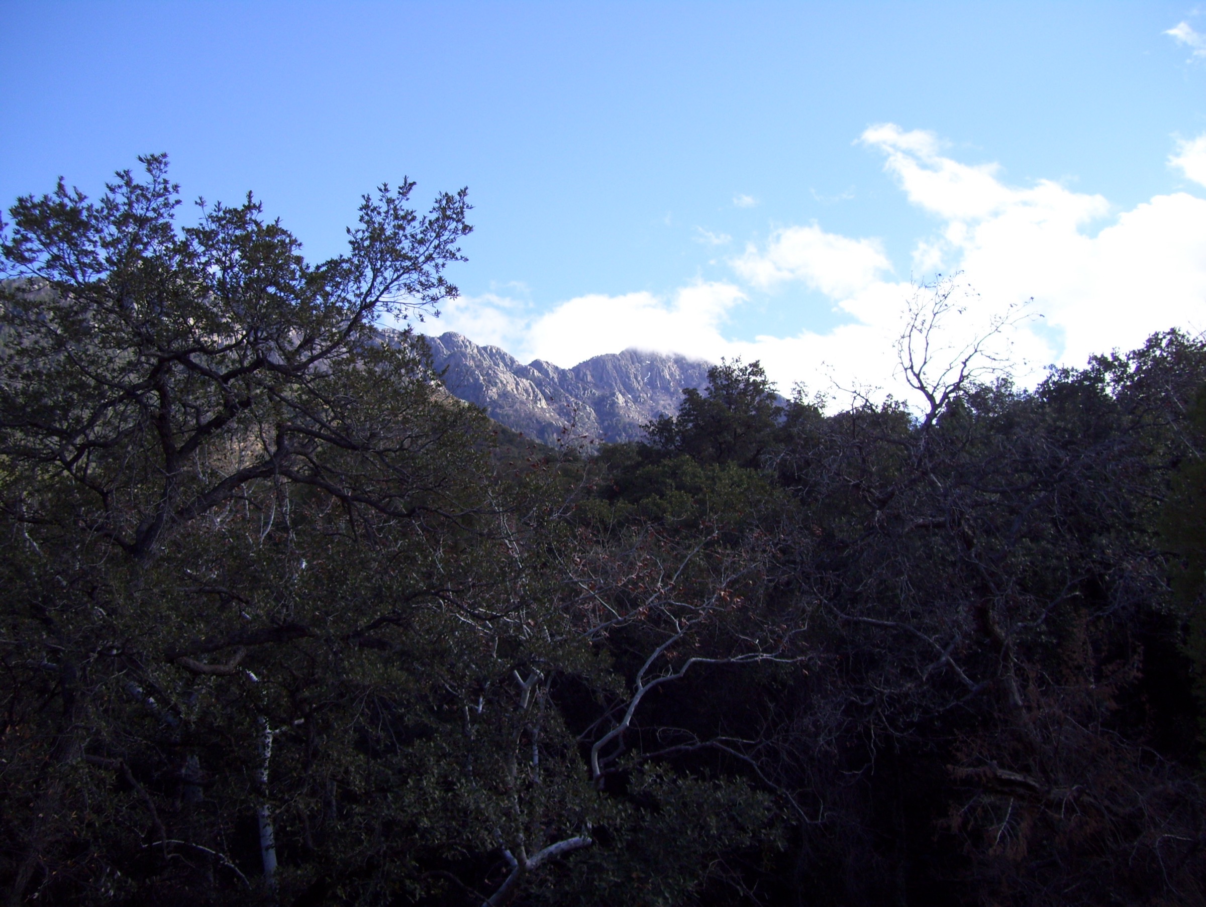
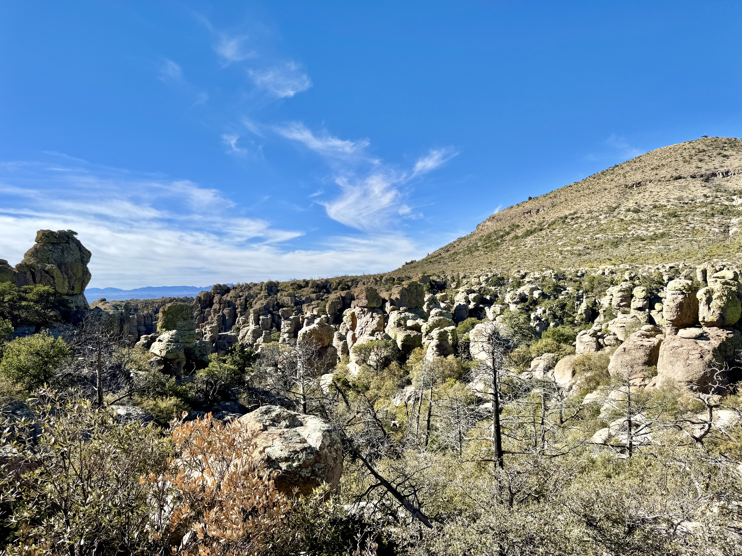
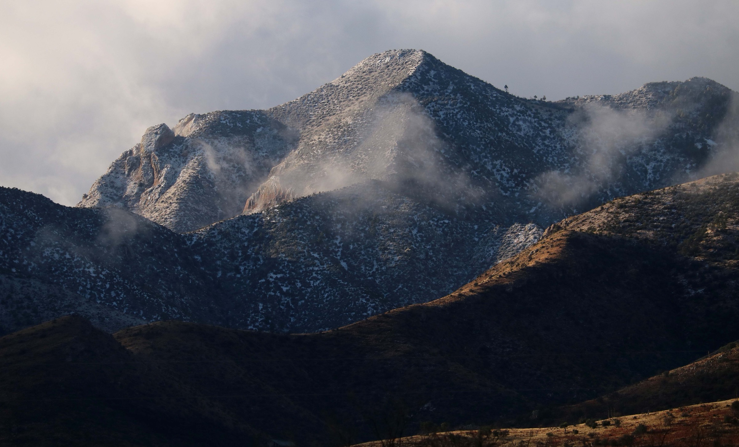
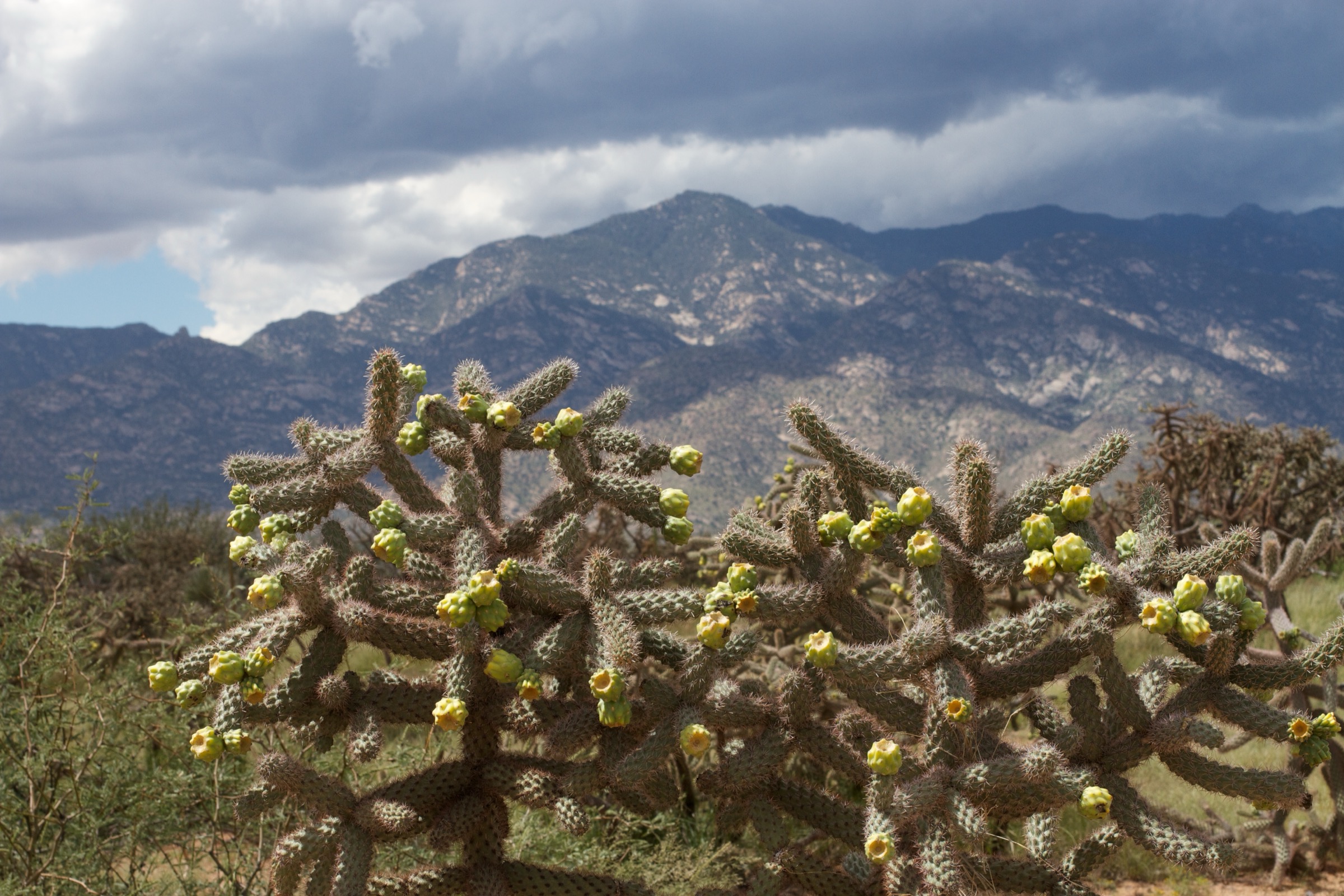
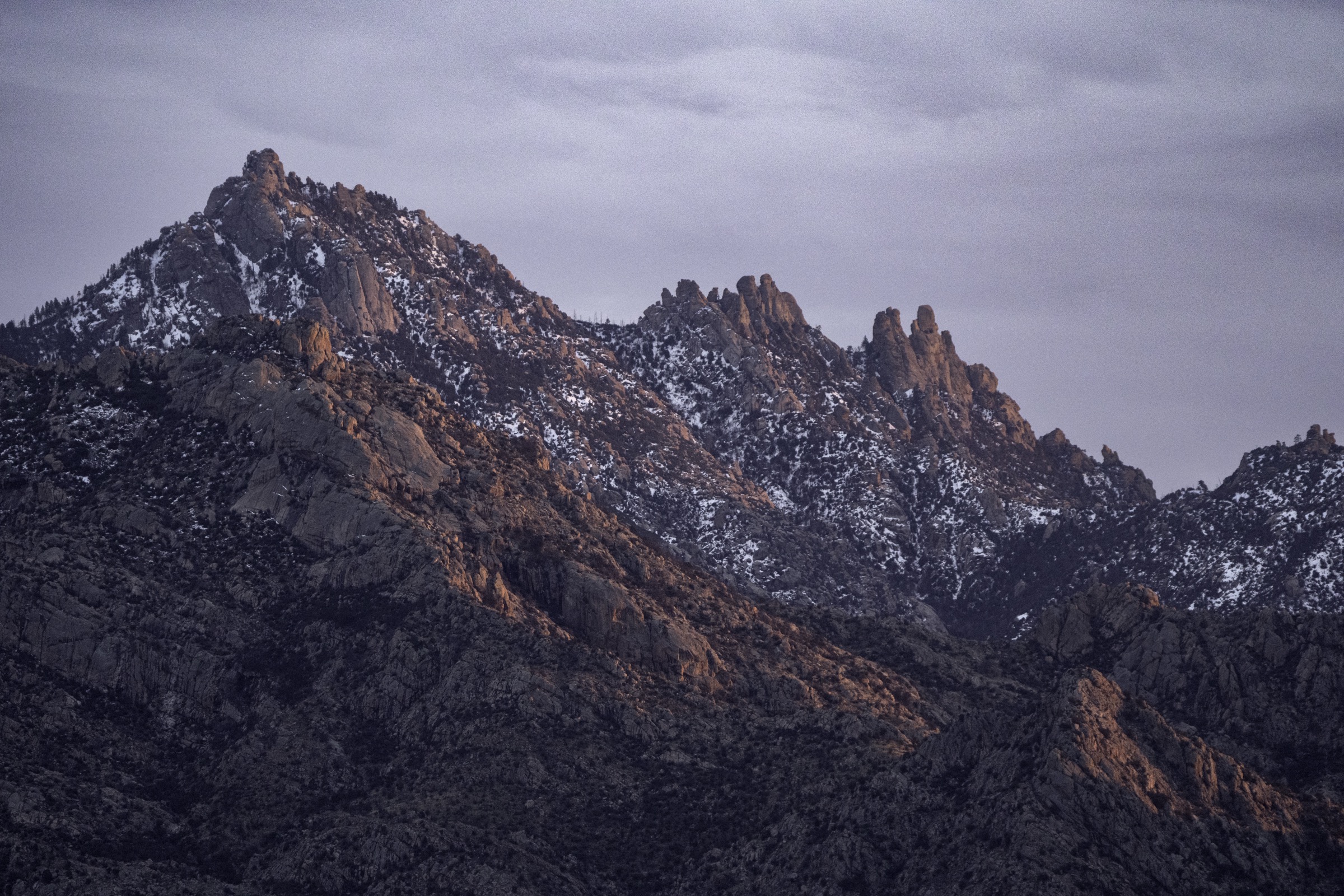
The Santa Catalina Mountains are the largest and most-visited of the Arizona Sky Islands, rising immediately north of Tucson in Pima County from Sonoran Desert bajadas near 820 m at the Sabino Canyon entrance to Mount Lemmon (2,791 m / 9,157 ft) on the range crest. The elevation span — roughly 2,000 m over about 15 km horizontally — compresses six major life zones into a single day’s drive: saguaro–palo verde desert on the foothills, mesquite and desert riparian in the canyons, Madrean pine-oak woodland at mid-elevations, and mixed-conifer and quaking aspen forest around Summerhaven and Mount Lemmon. The U.S. Forest Service describes the range as spanning from Sabino Canyon (2,724 ft / 830 m) to Mount Lemmon (9,157 ft / 2,791 m), with steep granitic cliffs, desert vegetation, riparian corridors and high-elevation recreation infrastructure.
Management is split. The Coronado National Forest — Santa Catalina Ranger District administers almost all of the range, including the Pusch Ridge Wilderness (56,933 acres / 23,040 ha, designated 1978) which covers the western and south-western flank between Pusch Ridge, Finger Rock Canyon and Sabino Canyon. Sabino Canyon Recreation Area on the south side is the range’s principal fee-collected entry, with a large visitor centre, an interpretive shuttle system into the canyon, and the trailheads for Bear Canyon, Blackett’s Ridge and the Phoneline Trail. Catalina State Park on the north-west side is the second major access point, providing developed trailheads for the Romero Canyon, Sutherland and Canyon Loop routes and giving foot access into the Pusch Ridge Wilderness. The southern half of the range is served by the Catalina Highway (Sky Island Scenic Byway), a paved 44-km road climbing from the desert to Summerhaven and Mount Lemmon Ski Valley — the southernmost ski area in the continental United States — with dozens of trailheads along the way.
The range’s biogeographic significance is comparable to that of the Chiricahuas and Huachucas — a Madrean sky-island supporting bighorn sheep, black bear, mountain lion, coati and over 200 recorded bird species — but the Santa Catalinas are notable for the sheer scale of their vertical relief, the granite dome-and-cliff scenery around Mount Lemmon and Windy Point, and the immediate juxtaposition of Tucson’s metropolitan edge with wilderness terrain. The Pusch Ridge Bighorn Sheep Management Area applies to a specific block of front-range trails and imposes real seasonal restrictions: no dogs at any time inside the management area, and off-trail travel prohibited 1 January – 30 April on named routes including Finger Rock, Pima Canyon and Ventana Canyon to protect lambing habitat. Group size in the Pusch Ridge Wilderness is limited to fifteen.
Fire history is a defining feature. The 2003 Aspen Fire burned 84,750 acres (34,300 ha) across the Mount Lemmon high country, destroyed roughly 340 structures in Summerhaven, and continues to shape trail conditions on the Aspen, Marshall Gulch, Mint Spring and Sutherland routes twenty years later. The 2020 Bighorn Fire burned 119,978 acres (48,554 ha) across the western and northern flanks — including much of Pusch Ridge, Cathedral Rock and the upper Romero Canyon watershed — with debris-flow and deadfall risk still elevated on affected trails. Both fires have been officially cited in ongoing Forest Service trail closures and reroutes.
The typical hiking season is dictated by elevation. October to April is the working season on the desert-canyon routes (Bear Canyon, Blackett’s Ridge, Romero Canyon), when daytime temperatures below 30 °C make sustained walking viable and creek pools hold water after winter rain. May to October is the working season on the Mount Lemmon high-country routes (Marshall Gulch, Aspen Trail, Wilderness of Rocks), when snow has cleared from the ridge and daytime temperatures at 2,500 m sit in a comfortable 15–25 °C range while Tucson bakes at 40 °C below. Summer (mid-July to early September) brings monsoon thunderstorms with severe lightning risk on exposed ridges and flash-flood risk in every canyon on the south side of the range — Sabino Canyon in particular. Winter can bring snow above about 2,000 m, and it lingers on north aspects of Mount Lemmon into April in wetter years.
For the neighbouring Arizona Sky Islands see the sister entries on the Huachuca Mountains and the Chiricahua Mountains — the two other principal Madrean ranges of south-eastern Arizona, both with lower peaks but comparable ecological compression and a shared fire history.
See also: Santa Rita Mountains, Arizona day-hikes · Pinaleño Mountains and Mount Graham, Arizona day-hikes.
Selection rationale
The five day-hikes below cover the essential range types of the Santa Catalinas across the two principal land managers and both major access points: a famous low-elevation waterfall canyon out of Sabino Canyon, the signature Catalina State Park canyon-and-pools walk, a short-but-hard Sabino Canyon ridge viewpoint, a major front-range non-technical summit day, and a compact high-country forest loop near the top of the Catalina Highway. Official Forest Service, National Park Service and Arizona State Parks sources were used for access and restrictions; route statistics are from checked AllTrails records unless an official source is noted.
Routes excluded as out of scope — including the Mount Lemmon summit via the Wilderness of Rocks, Ventana Canyon and multi-day Bighorn-Fire-affected traverses — are discussed at the end of the article.
Summary
| # | Hike | Trailhead | Route type | Distance | Gain | Max elevation | Difficulty |
|---|---|---|---|---|---|---|---|
| 1 | Bear Canyon to Seven Falls | Sabino Canyon / Bear Canyon access | Out-and-back | 13.7 km | 325 m | 1,043 m | Moderate |
| 2 | Romero Canyon Trail to Romero Pools | Catalina State Park Main Trailhead | Out-and-back | 9.0–9.8 km | 400 m | 1,147 m | Moderate–strenuous |
| 3 | Blackett’s Ridge from Bear Canyon | Sabino Canyon / Bear Canyon access | Out-and-back | 10.9 km | 596 m | 1,341 m | Strenuous |
| 4 | Mount Kimball via Finger Rock Trail | Finger Rock Trailhead | Out-and-back | 15.4 km | 1,286 m | 2,211 m | Strenuous |
| 5 | Aspen Trail and Marshall Gulch Loop | Marshall Gulch Trailhead | Loop | 6.3 km | 260 m | 2,488 m | Moderate |
1. Bear Canyon to Seven Falls
Snapshot
Itinerary
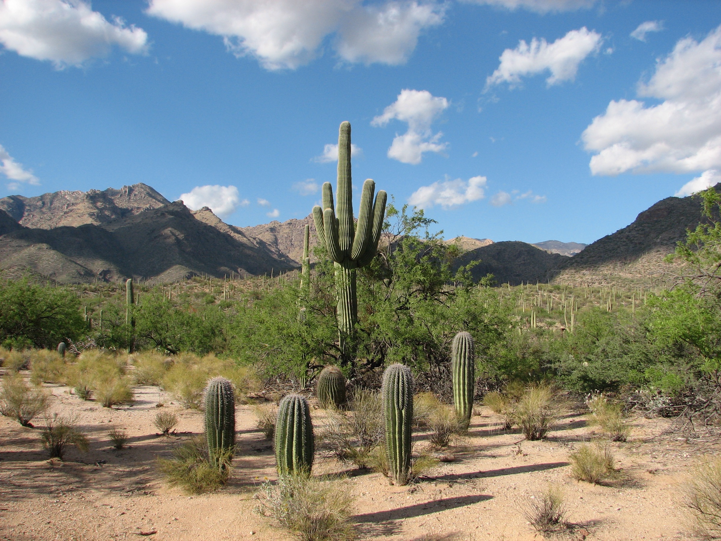
From the Sabino Canyon Visitor Center most hikers take the paid Bear Canyon tram to the Bear Canyon shuttle stop; the same walk can be done from the visitor centre on foot along the paved Bear Canyon Road, which adds roughly 4 km round-trip on tarmac. From the shuttle stop, the Bear Canyon Trail heads north-north-east up the canyon on a well-established path, immediately dropping into the dry desert wash and crossing Bear Creek repeatedly — seven times in the first three kilometres in most water years. The route stays low in the canyon, with saguaro-and-palo-verde slopes above and mesquite riparian cover along the creek, gaining elevation gently until the canyon narrows.
At approximately 5 km the trail climbs onto a bench on the east side of the creek and switchbacks up to the Seven Falls viewpoint, above a chain of seven waterfall drops and polished-granite plunge pools in the upper canyon. Water flow is highly seasonal, with the falls at their strongest after winter rain and monsoon storms and often reduced to a trickle in late spring and early summer. Descent reverses the route. Parties intending to catch the last tram back to the visitor centre must confirm current departure times at the visitor centre before setting out.
Why it is essential
Seven Falls is the best-known low-elevation waterfall hike in the Santa Catalinas and the most compact expression of the range’s desert-canyon character: saguaro slopes, repeated live-water crossings, and a genuine waterfall chain within an hour’s walk of central Tucson. The route also serves as the natural introduction to Sabino Canyon Recreation Area, and pairs with Blackett’s Ridge above (Hike 3) as the two definitive Sabino days.
Equipment
- Sturdy trail shoes or light boots — the tread is rocky and the wash crossings can be wet
- 2–3 L water minimum — no reliable potable water on route
- Sun hat, sunscreen, wide-brim protection for the exposed canyon-mouth section
- Trekking poles useful for stability on wet-cobble wash crossings
- Small dry-bag for wallet and phone in higher water
- Offline map and GPS
- Cash or card for the Sabino Canyon Recreation Area day-use fee and the Bear Canyon tram
Hazards and notes
- Flash-flood risk is the principal hazard: the Bear Canyon route has no elevated bypass of the wash crossings, and thunderstorms upstream can raise the creek to impassable levels within minutes. Do not enter the canyon if monsoon storms are forecast on the range.
- Heat kills every summer in the Sabino/Bear Canyon area — start at dawn May to September, and reverse the route early if daytime temperatures exceed forecasts.
- Polished granite around Seven Falls is slick when wet; the pool basins are deep and cold.
- Dogs are not permitted on the Bear Canyon Trail (checked with the AllTrails route source); the wider Sabino Canyon Recreation Area has confusing dog rules — check current signage at the visitor centre.
- Bicycles are prohibited on the Bear Canyon Trail.
- The Sabino Canyon Recreation Area day-use fee applies to the parking lot; the Bear Canyon tram is a separately-ticketed service run by the concessionaire.
2. Romero Canyon Trail to Romero Pools
Snapshot
Itinerary
From the Catalina State Park Main Trailhead, follow the signed Romero Canyon Trail north-east across the foothill approach. The lower kilometre is easy graded walking through mesquite–palo verde bajada and crosses the seasonal Sutherland Wash and Cañada del Oro Wash — both of which can be knee-deep or higher after storms and are the primary trip-blocker after winter rain. At about 1.6 km the trail passes the Forest Service boundary gate, beyond which dogs and bicycles are prohibited, and enters the Pusch Ridge Wilderness a short distance further.
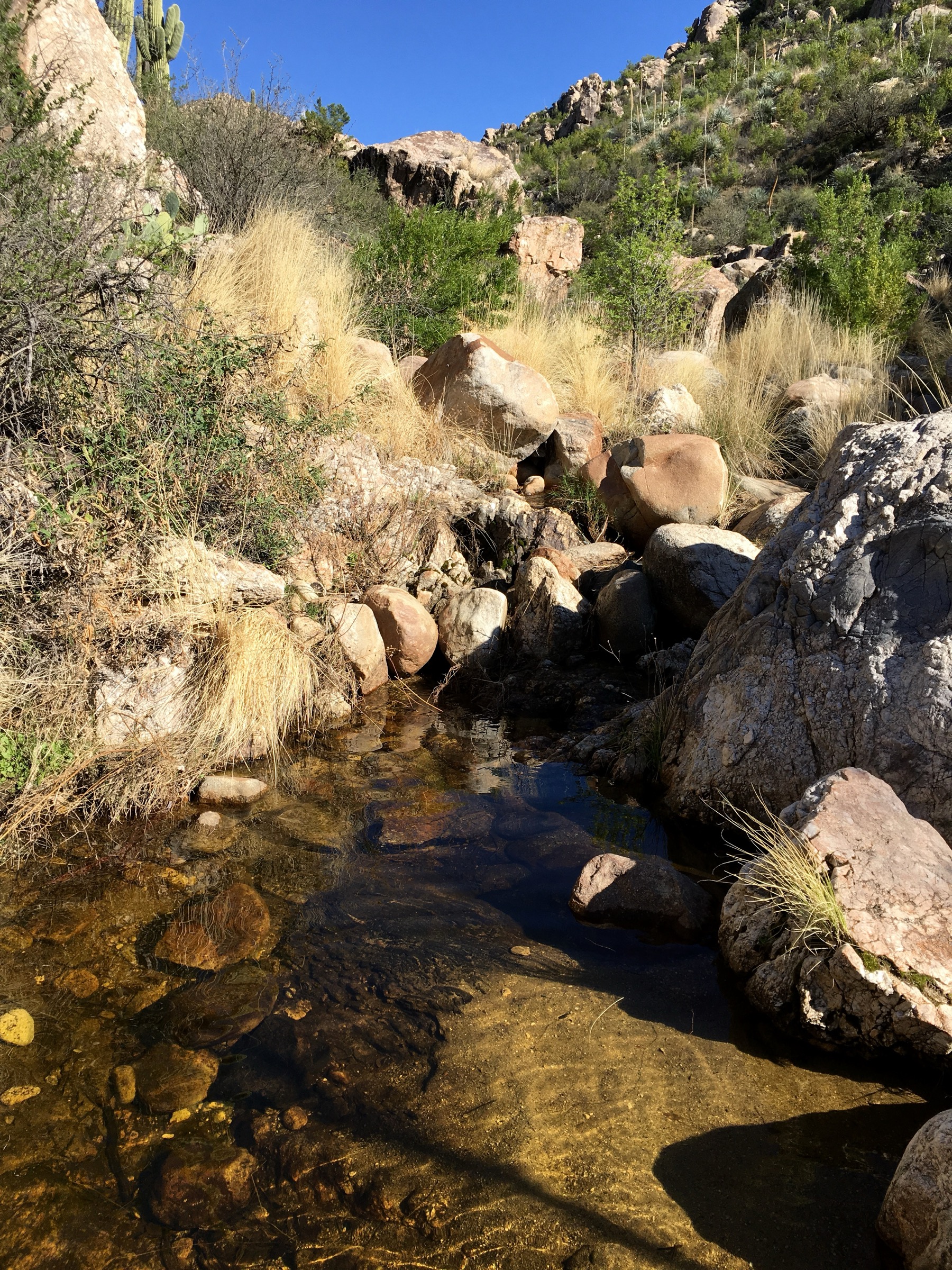
The route then steepens noticeably, climbing on a rocky and loose granite-cobble tread through low-desert cover, with the Catalinas rising directly ahead. The upper approach is the difficult section that the park page flags: sustained uphill on uneven ground, a short scramble in one or two places, and full exposure. Around 4.5–5 km the trail crests a saddle and drops into the upper canyon, reaching Romero Pools — a chain of granite plunge pools and seasonal waterfalls in a shaded canyon amphitheatre. Descent reverses the route. Strong parties can continue up-canyon to Romero Pass (add roughly 6 km round-trip and 500 m of gain) or beyond to Mount Lemmon on a multi-day itinerary; those extensions are out of scope for this day.
Why it is essential
Romero Pools is Catalina State Park’s signature canyon hike and the most accessible example of the Santa Catalinas’ desert-to-canyon transition from the north-west side of the range. It delivers a genuine wilderness experience within a state-park drive-up trailhead, and — unlike the Sabino-side routes — approaches the pools from above rather than up-canyon, which makes it a very different walk from Seven Falls even though the two are geologically similar.
Equipment
- Sturdy trail shoes or light boots — rocky tread on the upper approach
- 2.5–3 L water minimum
- Trekking poles for the rocky descent
- Sun hat and high-SPF protection
- Warm layer in cool months, particularly for time spent at the shaded pools
- Offline map and GPS
- Cash or card for the Catalina State Park day-use fee
Hazards and notes
- Sutherland Wash and Cañada del Oro Wash on the approach can be uncrossable after winter rain or monsoon storms; check park social media before setting out.
- Rocky, exposed tread on the upper approach; a fall is the primary injury mechanism.
- Dogs and bicycles are prohibited beyond the Forest Service boundary gate (~1.6 km / 1 mi from the trailhead); Catalina State Park itself allows dogs on the lower trails on leash.
- The upper canyon is inside the Pusch Ridge Bighorn Sheep Management Area — the seasonal 1 January – 30 April off-trail restriction does not apply on Romero Canyon Trail itself (which is not in the specifically named restricted list) but adjacent side canyons are affected.
- Flash-flood risk in the canyon during monsoon storms; do not linger at the pools if thunder is audible.
- Pool water is not potable and should not be relied on for drinking or filter refill.
3. Blackett’s Ridge from Bear Canyon
Snapshot
Itinerary
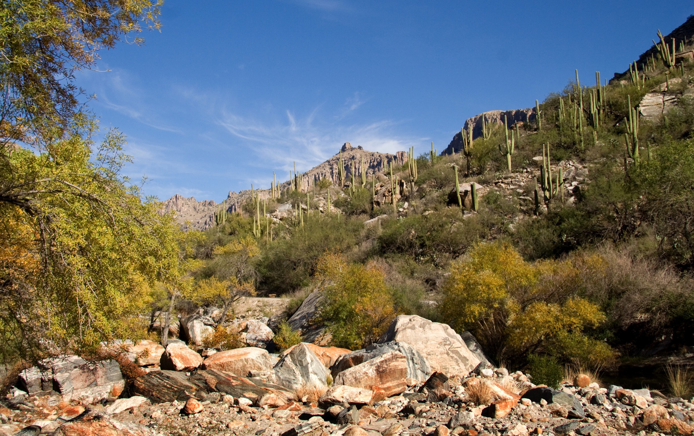
From the Bear Canyon shuttle stop (or from the visitor centre on foot), follow the approach up the Bear Canyon Road for a short distance to the signed Blackett’s Ridge Trail turn-off on the north side. The route climbs directly up the ridge separating Bear Canyon from Sabino Canyon, gaining elevation almost immediately on a rocky, exposed and largely shadeless tread. The gradient is sustained — there is no significant flat interval — and the trail crosses several loose, cobbled sections that require deliberate footwork.
Higher up, the ridge broadens and the view opens progressively west into Sabino Canyon and east into Bear Canyon, with Thimble Peak to the north-east and central Tucson filling the plain to the south. The route ends at an unmarked viewpoint on the ridge crest above the point where the ridge merges into the broader Catalina front. There is no summit as such and no clear turnaround marker beyond the viewpoint; the ridge continues into more technical ground and is not the intended route. Descent reverses the climb, and is the harder half of the day because of the loose ground.
Why it is essential
Blackett’s Ridge is the classic short-but-hard Santa Catalina balcony hike, trading the waterfall scenery of neighbouring Bear Canyon for a sustained climb onto an exposed ridge crest and one of the most dramatic wide-angle desert views in the range. The route sits directly opposite the Rincon Mountains across Tucson and gives arguably the range’s best single overlook of the Sabino Canyon system.
Equipment
- Sturdy mountain hiking shoes with good grip — the descent on loose granite cobble is the hardest part of the day
- Trekking poles strongly recommended for the descent
- 2–3 L water minimum — no water on route
- Full sun protection (hat, sunscreen, sunglasses) — the ridge is exposed for the entire climb
- Warm layer for the ridge in cool months
- Offline map and GPS
- Cash or card for the Sabino Canyon Recreation Area day-use fee
Hazards and notes
- Heat is the principal hazard: full sun exposure for the entire climb, no shade and no water. Start at dawn from May to September; consider deferring in extreme heat.
- Loose granite cobble on the ridge makes the descent significantly harder than the climb — a fall is the main injury mechanism.
- Dogs are not permitted on the Blackett’s Ridge Trail (checked with the AllTrails route source); this is separate from wilderness rules and applies to the trail itself.
- Bicycles are prohibited.
- The ridge is fully exposed to lightning in monsoon storms — turn back at the first sign of building weather.
- No cell coverage on much of the ridge and the descent is slow; leave adequate daylight buffer.
- Bear Canyon tram schedule can constrain returns; confirm times at the visitor centre before setting out.
4. Mount Kimball via Finger Rock Trail
Snapshot
Itinerary
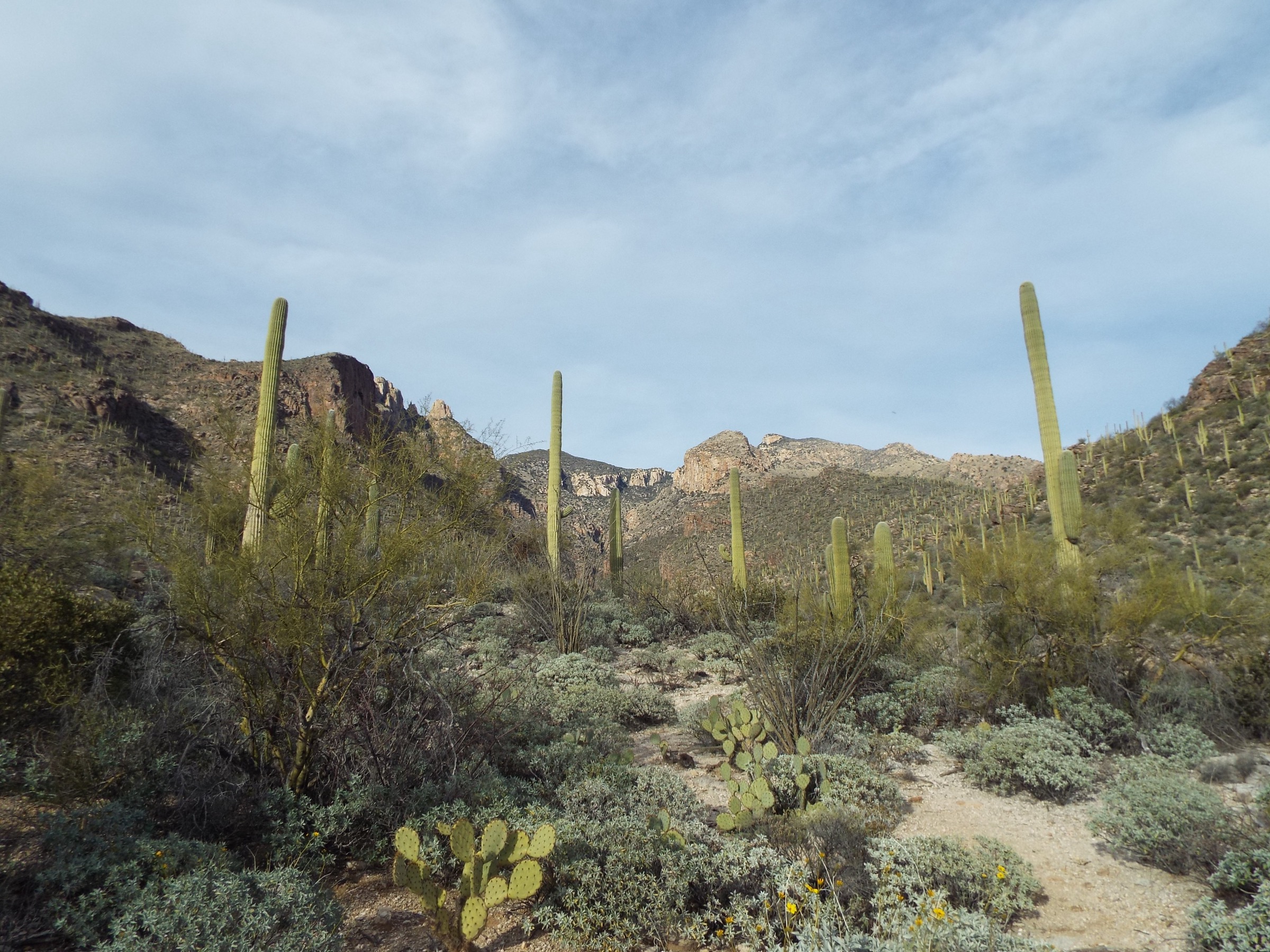
The Finger Rock Trailhead sits at the very top of Alvernon Way in the residential Tucson foothills; parking is limited and the lot fills early on cool-season weekends. Finger Rock Trail #42 heads north-east into the mouth of Finger Rock Canyon, entering the Pusch Ridge Wilderness at a signed boundary a short distance from the trailhead and immediately entering the Pusch Ridge Bighorn Sheep Management Area — no dogs at any time, and off-trail travel prohibited 1 January – 30 April.
The climb starts on a well-established desert tread through saguaro and ocotillo, then narrows and steepens as the canyon closes in. Finger Rock — the eponymous granite spire — appears on the west skyline and dominates the first hour of the climb. The route gains steadily on rocky switchbacks through Madrean woodland, with several sections of loose cobble and one or two brief scrambling steps. Water in the canyon is intermittent and should not be relied upon.
Roughly 5.5 km from the trailhead the trail reaches a signed junction at the Finger Rock Saddle / Linda Vista Saddle area, where Pima Canyon Trail #62 ties in from the west. From this junction a short spur trail climbs the last 200 m to the summit of Mount Kimball. The summit view runs north across the Pusch Ridge crest, west to the Tortolita Mountains, south over Tucson to the Rincon and Santa Rita ranges, and east toward the Mount Lemmon massif. The upper trail between the saddle and the summit can be overgrown with catclaw and manzanita in some seasons — check trip reports before travel. Descent reverses the route, and — as on Blackett’s Ridge — the descent is the harder half of the day on loose cobble.
Why it is essential
Mount Kimball is one of the major non-technical front-range summit hikes in the Catalinas, giving a full desert-to-montane climb of over 1,200 m without leaving the Tucson side of the range. It sits directly at the head of the largest single canyon on the south face of the Pusch Ridge Wilderness and delivers the range’s most sustained wilderness front-range experience without requiring an overnight commitment. The route is also the natural training day for the harder Cathedral Rock, Mount Lemmon-via-Pima and Pusch Peak objectives.
Equipment
- Sturdy mountain hiking boots — the tread is rocky throughout and loose on descent
- Trekking poles strongly recommended
- Minimum 3–4 L water — no reliable on-route water
- Full sun protection plus a warm layer for the summit
- Offline map and GPS with the Finger Rock Trail and the Pima Canyon connection loaded
- Gaiters or long trousers if catclaw/manzanita reports are current above the saddle
- Headtorch for the descent — the walk out routinely takes longer than parties plan for
- Microspikes if winter ice has been reported on the shaded upper switchbacks
Hazards and notes
- Pusch Ridge Bighorn Sheep Management Area rules apply: no dogs at any time on Finger Rock and Pima Canyon, and off-trail travel prohibited 1 January – 30 April. These are federal regulations and are actively enforced.
- Sustained continuous climb of over 1,200 m from the trailhead — heat and dehydration are the principal hazards outside the winter months.
- Bighorn Fire (2020) burn scar on the upper canyon: watch for standing dead trees in wind and post-fire debris on the tread.
- Loose granite cobble on the descent — a fall is the main injury mechanism.
- Wilderness rules apply above the boundary sign (no bicycles, no drones, group-size limit 15).
- Cell coverage is patchy above the canyon mouth and effectively absent on the upper trail.
- Trailhead parking fills before dawn on cool-season weekends; there is no legal overflow area in the residential streets.
5. Aspen Trail and Marshall Gulch Loop
Snapshot
Itinerary
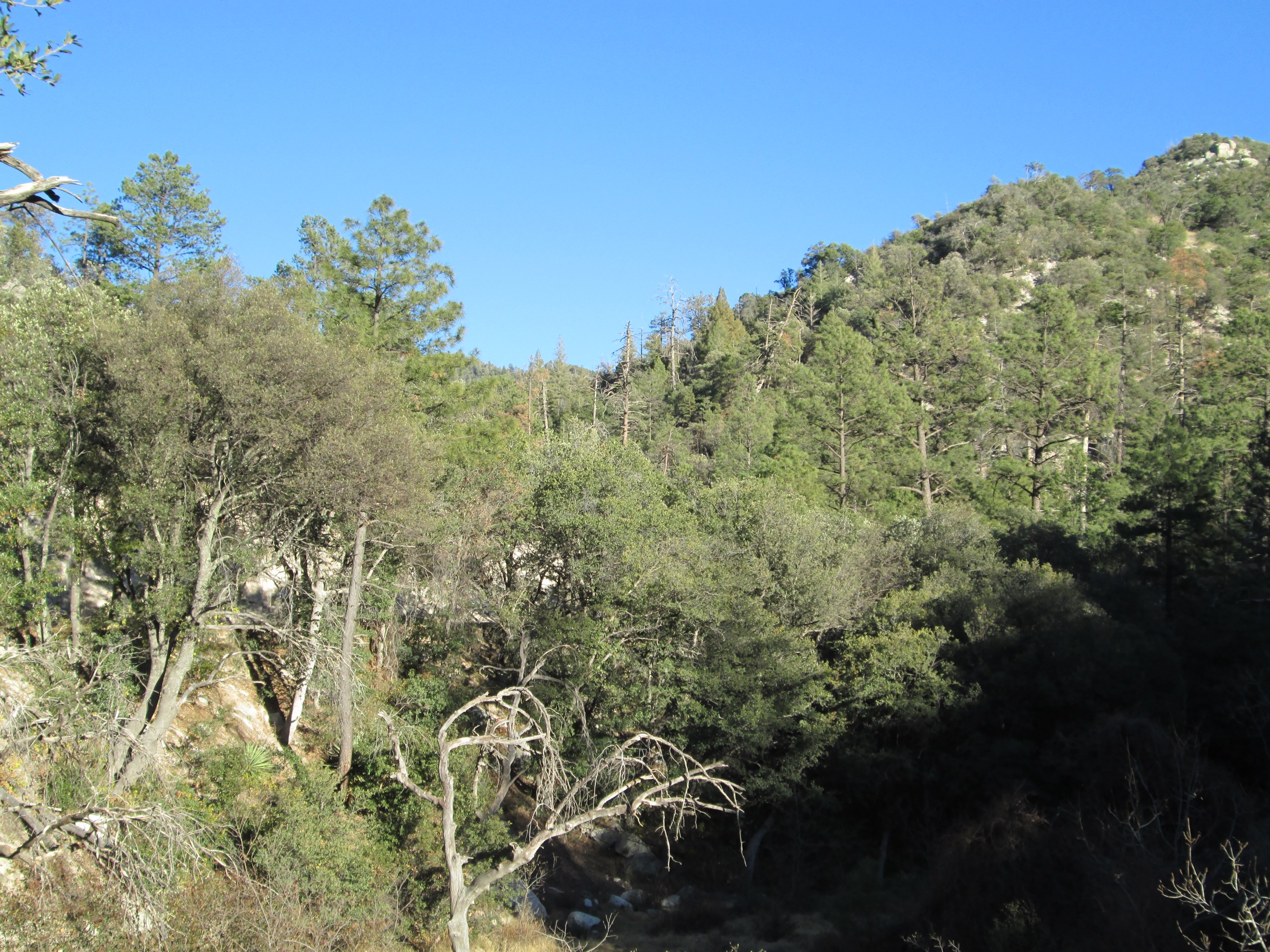
From the Marshall Gulch Trailhead at the top of the Sabino Canyon Parkway above Summerhaven, most parties walk the loop clockwise: up the Aspen Trail #93 and down Marshall Gulch Trail #3. The Aspen Trail leaves the picnic area on the west side and climbs through mixed ponderosa pine, Douglas fir and quaking aspen — the aspen stands here are among the most southern in the western United States, and are the reason for the trail name. The forest is punctuated by standing dead timber and open patches from the 2003 Aspen Fire, with regenerating aspen in the burn scar creating strong autumn colour in late October.
The climb reaches Marshall Saddle at approximately 2,488 m, the loop’s high point and the junction with the Wilderness of Rocks Trail (which continues south-west and is out of scope for this day). Turn east/north-east on Marshall Gulch Trail #3 and descend the drainage back to the trailhead. The upper Marshall Gulch is a shaded, rocky watercourse with several small waterfalls in wet weather and an intact conifer canopy that largely escaped the Aspen Fire. The tread is rocky and can be slick when wet or icy; the lower half of the descent is gentler and follows the creek back to the picnic area.
Why it is essential
This is the most efficient way to include the Santa Catalinas’ high-elevation forest zone in a day-hike catalogue otherwise dominated by lower desert canyons. It is the range’s essential summer-heat-escape walk from Tucson — a 40 °C temperature swing from the desert floor is normal in July — and its combination of Aspen-Fire-scarred and unburned forest is a compact case study in mid-elevation fire ecology.
Equipment
- Hiking shoes or light boots — the upper Marshall Gulch descent is rocky
- Warm layer and rain shell — mountain thunderstorms build quickly on the ridge in monsoon season
- 1.5–2 L water
- Sun protection (the burn scar sections are open)
- Trekking poles helpful on the Marshall Gulch descent
- Winter traction (microspikes) and warm layers December to March if snow-covered
- Offline map and GPS
Hazards and notes
- Altitude: the trailhead sits at ~2,280 m and the loop tops out at ~2,488 m — visitors coming straight from Tucson may notice mild altitude effects.
- Monsoon lightning on the exposed sections around Marshall Saddle from July to early September; start early and be off the saddle by lunchtime.
- Post-fire deadfall from the 2003 Aspen Fire persists on the upper Aspen Trail — watch for standing dead trees in wind.
- Trailhead parking is very limited and often full on summer weekends; dated route reports have flagged intermittent summer 2026 construction or parking closures near Marshall Gulch — verify before travel with the Santa Catalina Ranger District.
- Winter road access on the Catalina Highway is weather-dependent above Windy Point; check ADOT conditions before setting out.
- Dogs are permitted on leash on the loop (checked with the AllTrails route source); this section is outside the Bighorn Sheep Management Area.
- Black bears are present in the Mount Lemmon high country and increasingly food-conditioned around Summerhaven — do not leave food or scented items unattended.
Routes excluded as out of scope
The following sit inside or adjacent to the Santa Catalina Mountains but fall outside a day-hike catalogue, require permissions most visitors will not hold, or are better understood as multi-day trips.
- Mount Lemmon summit via the Meadow Trail / Mount Lemmon Trail. The paved-approach summit “walk” from the ski area lodge is short and not really a hiking objective; the summit itself is developed with observatory infrastructure and is closed to general access in places.
- Wilderness of Rocks Trail. Superb granite dome country beyond Marshall Saddle, but the classic loop is longer than a comfortable day for most parties from the Marshall Gulch trailhead, and is often paired with a car-shuttle from Marshall Gulch to Aspen Draw.
- Ventana Canyon Trail to Maiden Pools and beyond. A major front-range canyon route, but access via the Loews Ventana Canyon Resort trailhead is complicated by resort-guest parking priority and the upper canyon has been affected by post-Bighorn-Fire debris flows.
- Cathedral Rock and Pusch Peak. Classic front-range summit objectives inside the Pusch Ridge Wilderness with substantial route-finding and scrambling; deserve dedicated coverage with a rock-scramble skills note.
- Pima Canyon Trail to Pima Canyon Dam. Fine canyon walk but strongly affected by the Pusch Ridge Bighorn Sheep Management Area (no dogs, seasonal off-trail restriction) and by ongoing Bighorn Fire trail work; better covered separately.
- Butterfly Trail and the upper Green Mountain / Bear Canyon high-country routes. Long point-to-point options along the Catalina Highway that need a car shuttle to walk sensibly as a day.
- Mount Lemmon Trail #5 from Sabino Canyon (full range traverse). A range through-hike from Sabino to the summit; effectively a two- or three-day backpack.
Further reading
| Source | URL |
|---|---|
| USFS Coronado NF — Santa Catalina Mountains | fs.usda.gov |
| USFS Coronado NF — Pusch Ridge Wilderness | fs.usda.gov |
| USFS Sabino Canyon Recreation Area | fs.usda.gov |
| Sabino Canyon Crawler (tram concessionaire) | sabinocanyon.com |
| Arizona State Parks — Catalina State Park | azstateparks.com |
| Arizona State Parks — Catalina trails | azstateparks.com |
| Catalina State Park trail map (PDF) | arizona-content.usedirect.com |
| AllTrails — Bear Canyon to Seven Falls Trail | alltrails.com |
| AllTrails — Romero Canyon Trail to Romero Pools | alltrails.com |
| AllTrails — Blackett’s Ridge Trail from Bear Canyon | alltrails.com |
| AllTrails — Mount Kimball via Finger Rock and Pima Canyon | alltrails.com |
| AllTrails — Aspen Trail and Marshall Gulch Loop | alltrails.com |
| Mount Lemmon SkyCenter (University of Arizona) | skycenter.arizona.edu |
| Wilderness Connect — Pusch Ridge Wilderness | wilderness.net |
| Wikipedia — Santa Catalina Mountains | en.wikipedia.org |
| Wikipedia — Mount Lemmon | en.wikipedia.org |
| Wikipedia — Sabino Canyon | en.wikipedia.org |
| Wikipedia — Aspen Fire (2003) | en.wikipedia.org |
| Wikipedia — Bighorn Fire (2020) | en.wikipedia.org |
| Wikimedia Commons — Santa Catalina Mountains category | commons.wikimedia.org |
| OpenStreetMap (ODbL 1.0) | openstreetmap.org |