Regional overview
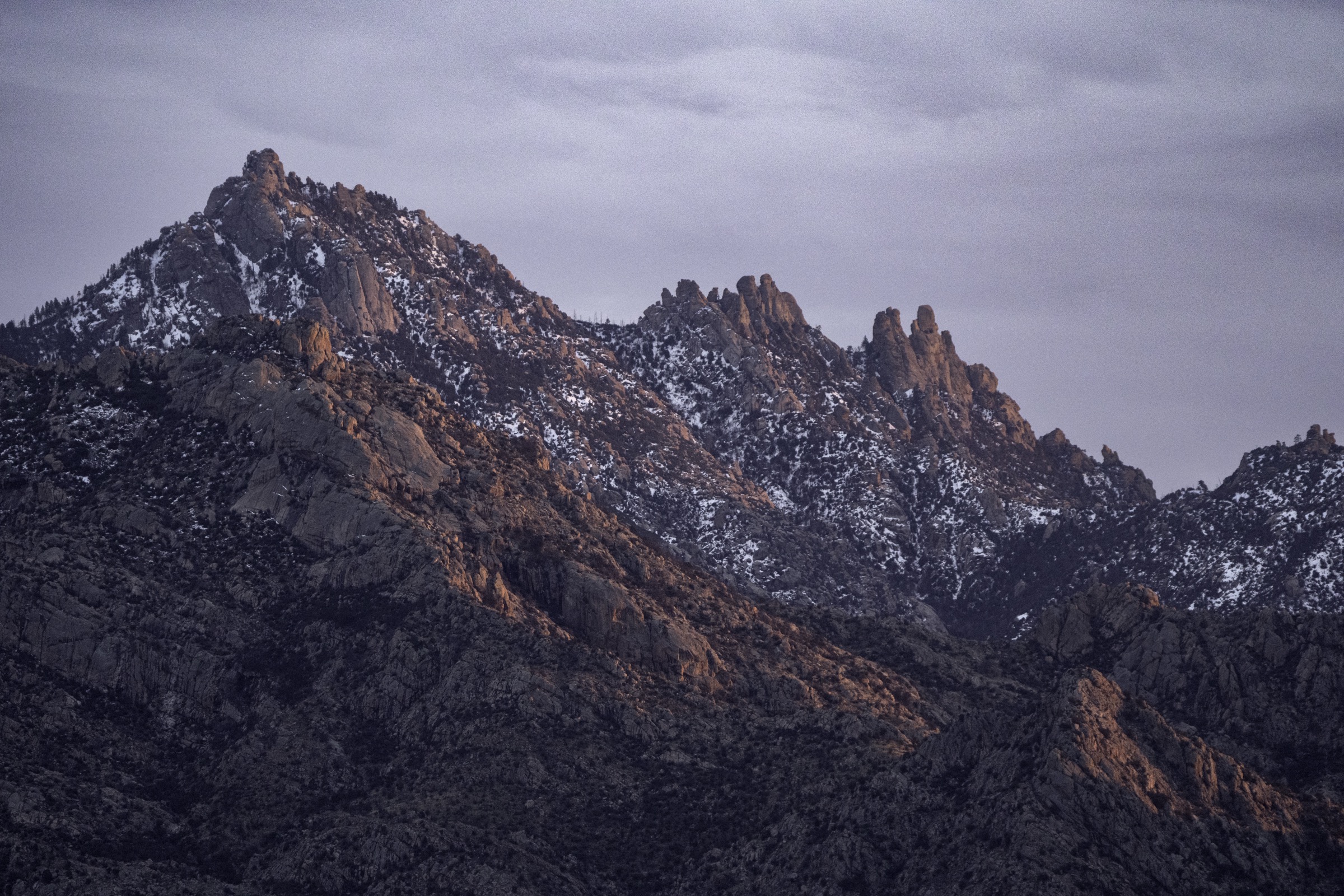
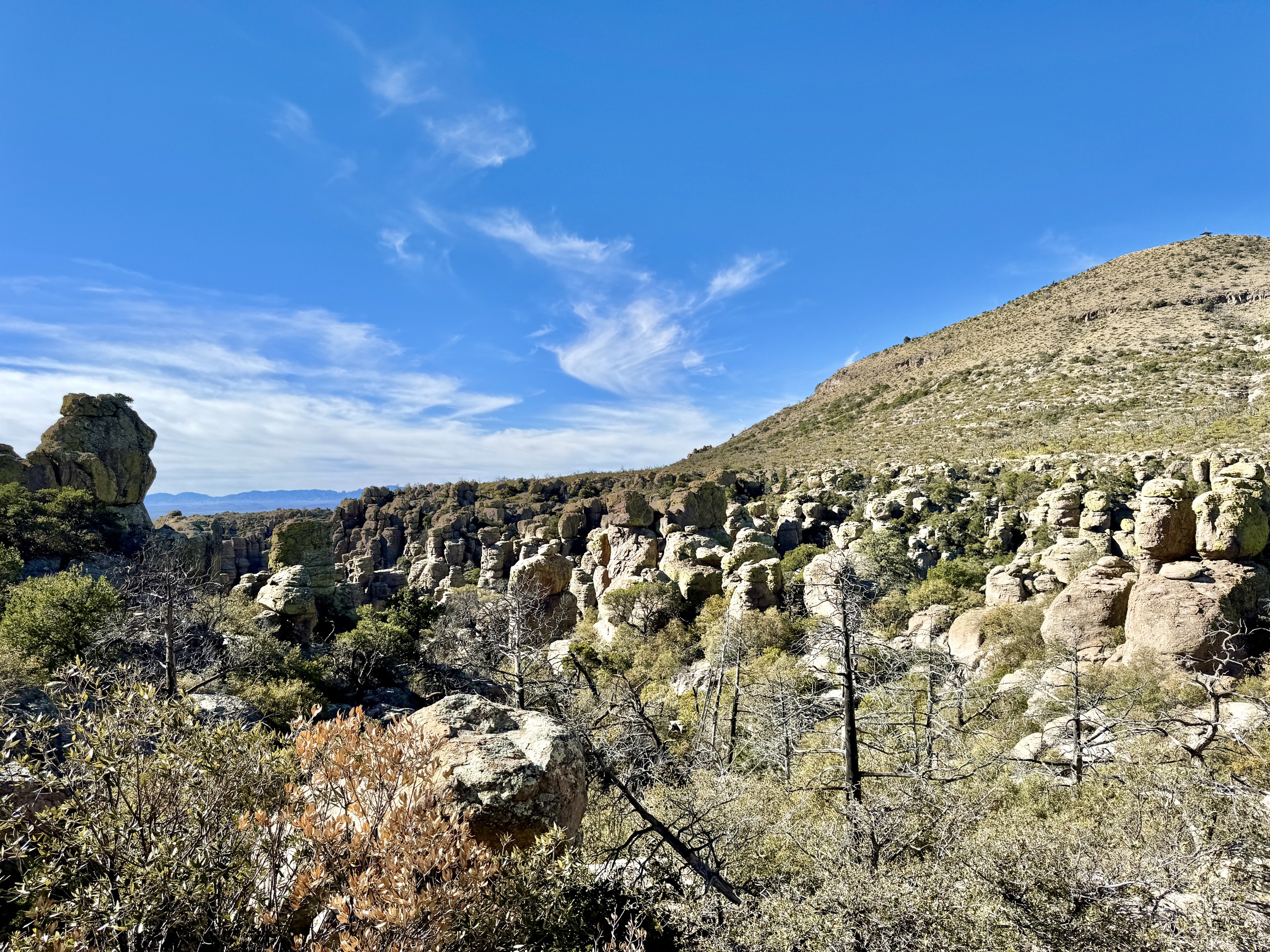
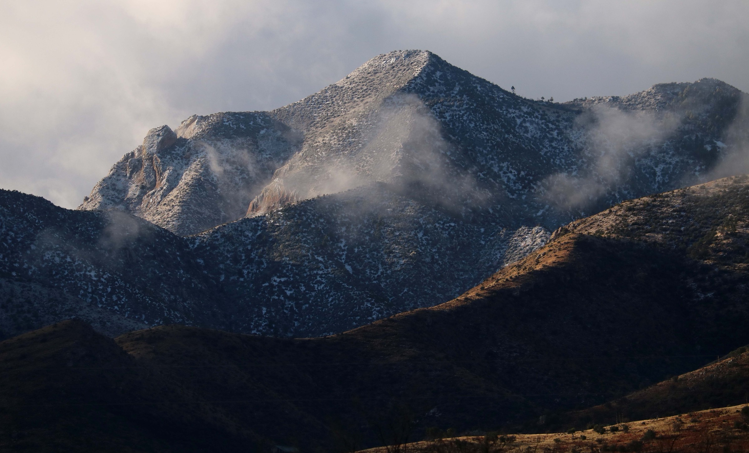
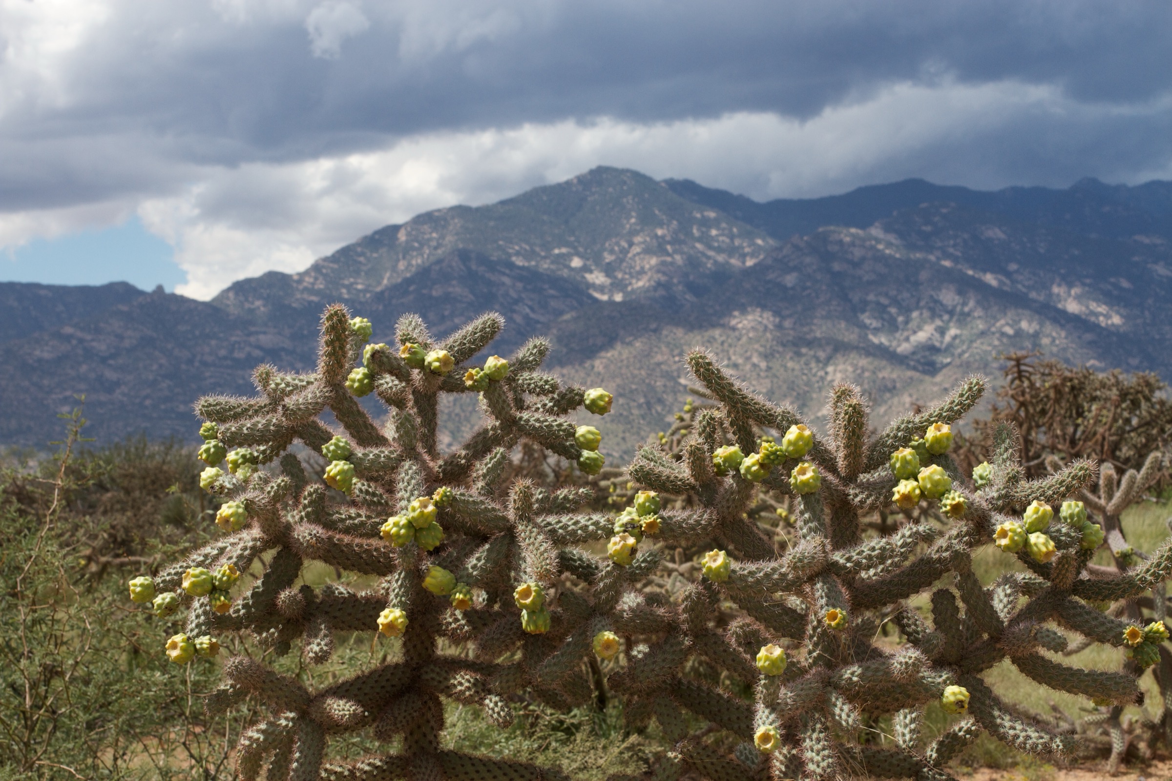
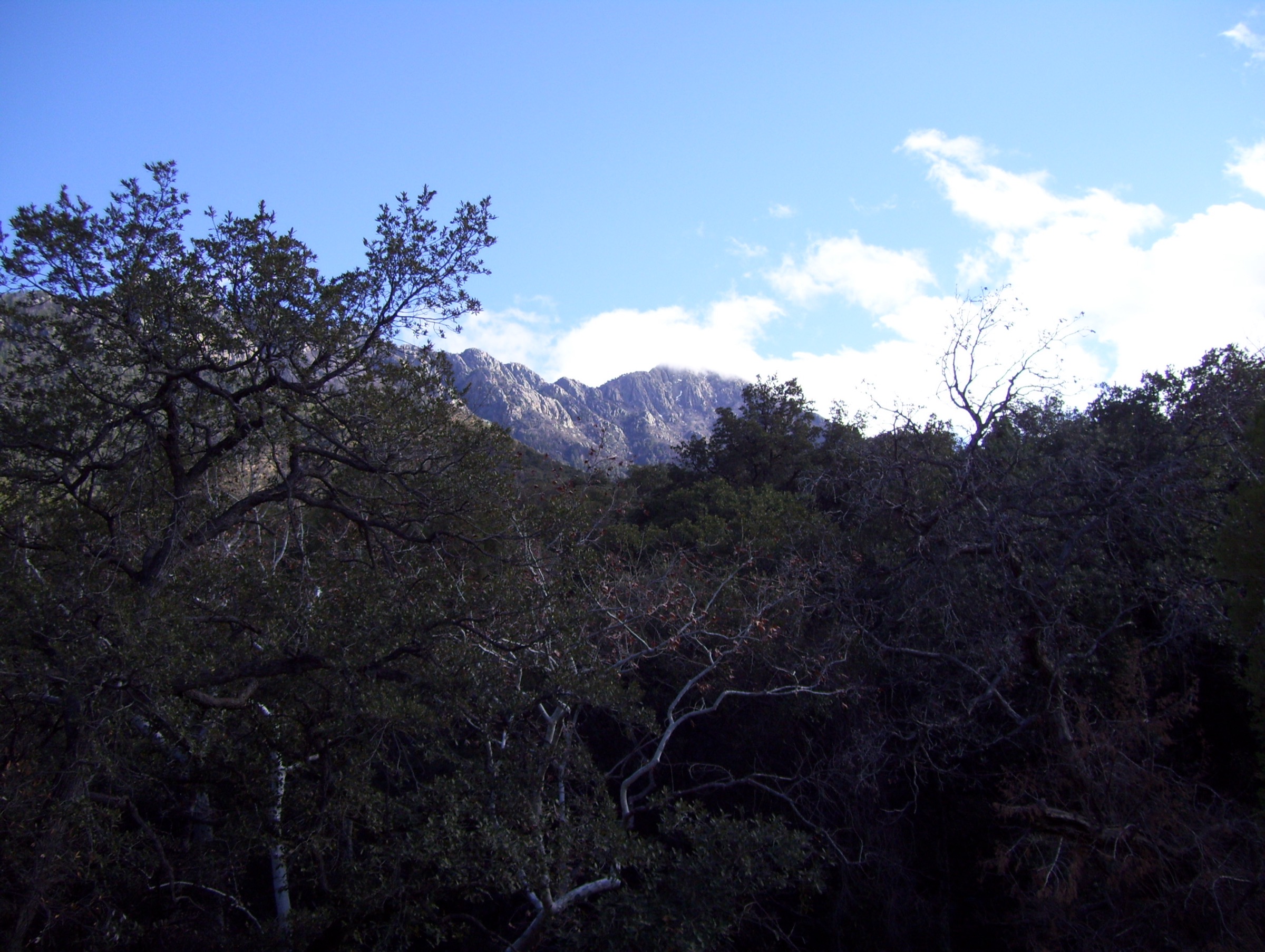
The Santa Rita Mountains are one of the classic Madrean Sky Islands of south-east Arizona, rising abruptly some 1,800 m above the desert grasslands south of Tucson. The range crests at Mount Wrightson (2,882 m / 9,456 ft), the highest summit in the Santa Ritas and one of the great viewpoint peaks of southern Arizona — Baboquivari, the Chiricahuas, the Rincons, the Huachucas and, on clear days, the volcanoes of northern Mexico all appear from its summit block. The U.S. Forest Service manages almost the entire range as part of the Coronado National Forest, with the high country protected as the Mount Wrightson Wilderness (approximately 25,260 acres, designated 1984).
The walking character divides into three zones. Madera Canyon, on the north-west flank, is the range’s best-known access and holds most of the classic day-hikes: perennial water, mixed conifer and oak forest, the historic Bog Springs and Sylvester Spring, and the two main lines up Wrightson (the Old Baldy Trail and the longer Super Trail). Above the canyon, the wilderness crest is a linked network of trails — Old Baldy #372, Super Trail #134, Agua Caliente #140, Crest Trail #144 — that thread through Josephine Saddle, Baldy Saddle and the summit block. Lower down, the western foothills open into rolling grassland and oak-juniper savanna around Elephant Head, one of the range’s most recognisable landmarks, and the Arizona Trail crosses the eastern foothills through Passage 5 between Apache Springs and Kentucky Camp.
Madera Canyon is also one of the top birding destinations in the United States, with over 250 species recorded and several southern Arizona specialities — the elegant trogon, painted redstart and several hummingbird species — reliably found in the canyon between April and September. The canyon’s small lodges and picnic areas were built by the Forest Service and the CCC and remain in use.
The reliable hiking season runs from about October to May across the range. Winter can bring snow and ice to the upper Wrightson trails, sometimes for weeks at a time; the summer monsoon, roughly July to early September, delivers strong afternoon thunderstorms with lightning risk on the exposed crest and flash-flood risk in the canyons. Water is scarce on the summit routes and treated water is not available at trailheads; the springs in the canyon are seasonal and should be treated. Access is by private vehicle only — no public transport reaches Madera Canyon or any other Santa Rita trailhead — and a Coronado National Forest day-use fee applies at Madera Canyon (America the Beautiful passes accepted).
See also: Santa Catalina Mountains, Arizona day-hikes · Pinaleño Mountains and Mount Graham, Arizona day-hikes.
Selection rationale
Five day-hikes are presented across the Santa Ritas’ principal landscape types. Mount Wrightson via the Old Baldy / Super Trail Loop is the range’s iconic strenuous summit day and the reason most hikers come to the range. Bog Spring to Sylvester Spring Loop is the compact Madera Canyon forest route, giving the archetypal canyon walk in a fraction of the time and effort of the summit day. The Vault Mine / Agua Caliente / Super Trail Loop delivers a demanding high-canyon traverse without the full Wrightson summit commitment. Arizona Trail Passage 5 from Apache Springs to Kentucky Camp is the official long-distance-trail day, running the eastern foothills through grassland, oak-juniper and the historic Kentucky Camp mining site. Elephant Head Foothill Trail closes the set with the western-foothill landmark route, contrasting Madera Canyon forest with open desert-grassland country under the range’s most photographed spire.
Summary
| # | Hike | Trailhead | Route type | Distance | Gain | Max elevation | Difficulty |
|---|---|---|---|---|---|---|---|
| 1 | Old Baldy / Super Trail Loop to Mount Wrightson | Mount Wrightson Picnic Area (Madera Canyon) | Loop with summit spur | 19.0 km | 1,222 m | 2,882 m | Hard |
| 2 | Bog Spring to Sylvester Spring Loop | Bog Springs Campground (Madera Canyon) | Loop | 7.4 km | 480 m | 2,021 m | Moderate–strenuous |
| 3 | Vault Mine / Agua Caliente / Super Trail Loop | Mount Wrightson Picnic Area (Madera Canyon) | Loop | 12.7 km | 642 m | 2,254 m | Moderate–strenuous |
| 4 | Arizona Trail Passage 5: Apache Springs to Kentucky Camp | Apache Springs Trailhead | Point-to-point (shuttle) | 22.7–27.2 km | 533 m | 1,783 m | Hard |
| 5 | Elephant Head Foothill Trail | Elephant Head access, Green Valley | Out-and-back | 10.5 km | 204 m | 1,228 m | Moderate |
1. Old Baldy / Super Trail Loop to Mount Wrightson
Snapshot
Itinerary
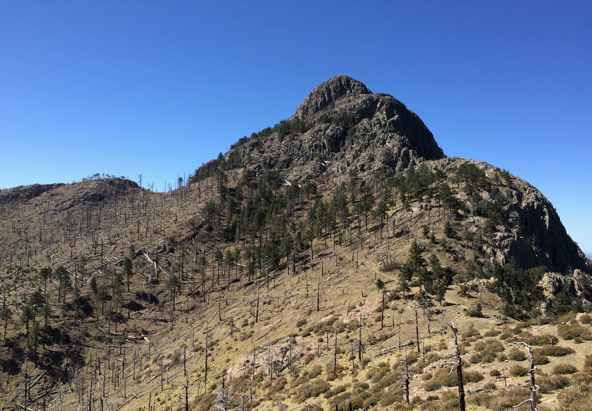
From the Mount Wrightson Picnic Area at the head of Madera Canyon Road, the classic circuit ascends the Old Baldy Trail (#372) — the direct, steeper line — climbing through oak, pine and mixed conifer to Josephine Saddle (approximately 2,300 m). From the saddle the route continues north-east on the Old Baldy Trail to Baldy Saddle at roughly 2,650 m and then takes the Crest Trail (#144) for the final summit push over exposed rocky ground to the summit block of Mount Wrightson. Return is made via the longer, more graded Super Trail (#134), dropping through switchbacks past Sprung Spring and the upper Josephine Canyon before rejoining the outbound line just above the picnic area. Old Baldy up, Super Trail down is the standard direction — the Super Trail’s gentler grades make it a more comfortable descent for tired legs.
Why it is essential
This is the defining strenuous day in the Santa Ritas. Mount Wrightson is both the range’s high point and its most complete viewpoint, taking in almost every other Sky Island in south-east Arizona from a single summit. The circuit is a full mountain day — sustained climb, exposed crest and one of the great southern Arizona summits — and any serious hiking catalogue for the range has to begin here.
Equipment
- Sturdy boots and trekking poles for the sustained ascent and descent
- 3–4 L of water — no reliable on-route water, and treated water is not available at the trailhead
- Wind and warm layer for the summit, even in shoulder-season heat
- Sun protection and offline map
- Winter traction (microspikes) if snow or ice is reported on the upper mountain
Hazards and notes
- Lightning on the exposed crest is the single most serious summer hazard; start at dawn during monsoon season and be off the summit by early afternoon
- Winter ice on the upper Old Baldy Trail and on the summit block can persist for weeks; check current conditions with the ranger district before travel
- No potable water at the trailhead or on route — carry everything
- Wilderness regulations prohibit bikes and mechanised use throughout the Mount Wrightson Wilderness
- Madera Canyon day-use fee applies at the trailhead (America the Beautiful passes accepted)
Sources and route files
| Source | URL | Format | Reuse note |
|---|---|---|---|
| U.S. Forest Service — Super #134 Loop | fs.usda.gov | Official route context | Public information |
| AllTrails — Old Baldy and Mount Wrightson Summit | alltrails.com | Source route map | AllTrails terms; reference only |
| OpenStreetMap | openstreetmap.org | OSM XML / GPX export | ODbL 1.0; reusable with attribution |
2. Bog Spring to Sylvester Spring Loop
Snapshot
Itinerary
From the Bog Springs Campground area, the loop climbs the wooded lower slope of the canyon on a well-worn trail, gaining elevation steadily to reach Bog Spring and then continuing higher to Sylvester Spring. Both springs sit in small forested basins on the north-west flank of the range. Above Sylvester Spring the trail traverses across side slopes with occasional views out over the canyon before dropping back down through pine and oak to the trailhead. The loop is compact but has more sustained climbing than its length suggests.
Why it is essential
This is the archetypal Madera Canyon forest walk — short enough for a half-day, with two named springs, mixed conifer and oak, and the canyon’s characteristic shaded feel. It gives a full sense of the range’s forested lower zone without the long day and altitude commitment of the summit routes.
Equipment
- Hiking shoes with grip for the loose rocky tread
- 2 L water — springs are seasonal and should be treated if used
- Sun protection for open stretches
- Trekking poles helpful on the steep descents
- Offline map — trail junctions in the canyon can be busy but not always signed
Hazards and notes
- Loose rock and steep grades on the shorter route mean the effort per kilometre is higher than the distance suggests
- Spring flow is not guaranteed; do not plan the day around water at Bog or Sylvester springs
- Summer heat and monsoon storms — start early in warmer months and be off exposed slopes by early afternoon
- Madera Canyon day-use fee applies
Sources and route files
| Source | URL | Format | Reuse note |
|---|---|---|---|
| AllTrails — Bog Spring to Sylvester Spring Loop | alltrails.com | Source route map | AllTrails terms; reference only |
| U.S. Forest Service — Santa Rita Mountains | fs.usda.gov | Official area context | Public information |
| OpenStreetMap | openstreetmap.org | OSM XML / GPX export | ODbL 1.0; reusable with attribution |
3. Vault Mine / Agua Caliente / Super Trail Loop
Snapshot
Itinerary
From the Mount Wrightson Picnic Area, the loop begins by climbing the Vault Mine (“Very Steep”) route, which the Forest Service notes gains approximately 1,400 ft in just over 0.5 mi — one of the steepest maintained approaches in the Santa Ritas. The route reaches Agua Caliente Saddle and continues along the Agua Caliente Trail (#140) across the upper flanks of the range toward Josephine Saddle, passing high forest and open ridge with views back down Madera Canyon. From Josephine Saddle the loop descends the lower Super Trail (#134), giving up altitude on graded switchbacks back to the picnic area.
Why it is essential
This is the demanding high-canyon traverse in the set: enough climbing to feel like a full mountain day but without the summit commitment of Wrightson. The Very Steep / Vault Mine approach is a distinctive line in its own right, and the Agua Caliente ridge samples the upper wilderness in a way that the Old Baldy summit route bypasses.
Equipment
- Sturdy footwear and trekking poles for the steep initial climb
- 3 L water — no on-route water
- Sun protection and wind layer for the exposed ridge
- Offline map for junctions at Agua Caliente and Josephine Saddles
- Winter traction if snow is present higher on the mountain
Hazards and notes
- Very steep initial climb — the Vault Mine route is essentially a scramble on tread in places
- Navigation at the Agua Caliente / Josephine Saddle junction requires attention
- Monsoon lightning on the upper ridge in summer
- Winter ice possible above Agua Caliente Saddle
- Wilderness rules prohibit bikes and mechanised use
Sources and route files
| Source | URL | Format | Reuse note |
|---|---|---|---|
| U.S. Forest Service — Agua Caliente #140 | fs.usda.gov | Official trail page | Public information |
| AllTrails — Vault Mine, Agua Caliente, Super Trail Loop | alltrails.com | Source route map | AllTrails terms; reference only |
| OpenStreetMap | openstreetmap.org | OSM XML / GPX export | ODbL 1.0; reusable with attribution |
4. Arizona Trail Passage 5: Apache Springs to Kentucky Camp
Snapshot
Itinerary
From Apache Springs Trailhead on the east flank of the range, Passage 5 of the Arizona Trail climbs north through open oak, juniper and manzanita country, crossing minor drainages and ridges with intermittent views back toward Mount Wrightson. The route passes through the historic Kentucky Camp — a preserved late-19th-century mining settlement now managed by the Forest Service as a heritage site — and continues north toward Oak Tree Canyon and the northern trailhead. Kentucky Camp is usually a reliable water source, but the ATA notes that all water on the passage must be treated. The passage is walked here as a single point-to-point day, which requires two vehicles or a shuttle arrangement.
Why it is essential
This is the official long-distance-trail day in the Santa Ritas and the only route in the set that samples the eastern foothill ecology. It combines Sky Island grassland and oak-juniper woodland with the cultural landmark of Kentucky Camp, and gives a completely different portrait of the range from the Madera Canyon summit routes.
Equipment
- Full navigation kit — the passage crosses remote foothill country with intermittent tread
- 4 L water — plan resupply at Kentucky Camp only, and always treat
- Sun protection; the passage is largely exposed
- Layers for cool morning starts in the shoulder seasons
- Two vehicles or a pre-arranged shuttle
Hazards and notes
- Scarce water — Kentucky Camp is the only usually-reliable source; treat everything
- Heat exposure on the open foothills; avoid summer entirely
- Remote dirt-road access at both trailheads — check conditions after monsoon rain
- Distance discrepancy between sources — plan for the longer 27.2 km figure and shorten if the trail on the ground is shorter
- Reroute notes — ATA occasionally reroutes segments; confirm the current alignment before travel
Sources and route files
| Source | URL | Format | Reuse note |
|---|---|---|---|
| Arizona Trail Association — Passage 5 | aztrail.org | Official passage page | Public information; attribution recommended |
| ATA — Passage 5 GPX (track) | aztrailmedia.s3 | GPX | Terms unresolved; verify before redistribution |
| ATA — Passage 5 map | aztrailmedia.s3 | PDF map | Terms unresolved; verify before redistribution |
| AllTrails — Arizona Trail Passage 5 | alltrails.com | Source route map | AllTrails terms; reference only |
5. Elephant Head Foothill Trail
Snapshot
Itinerary
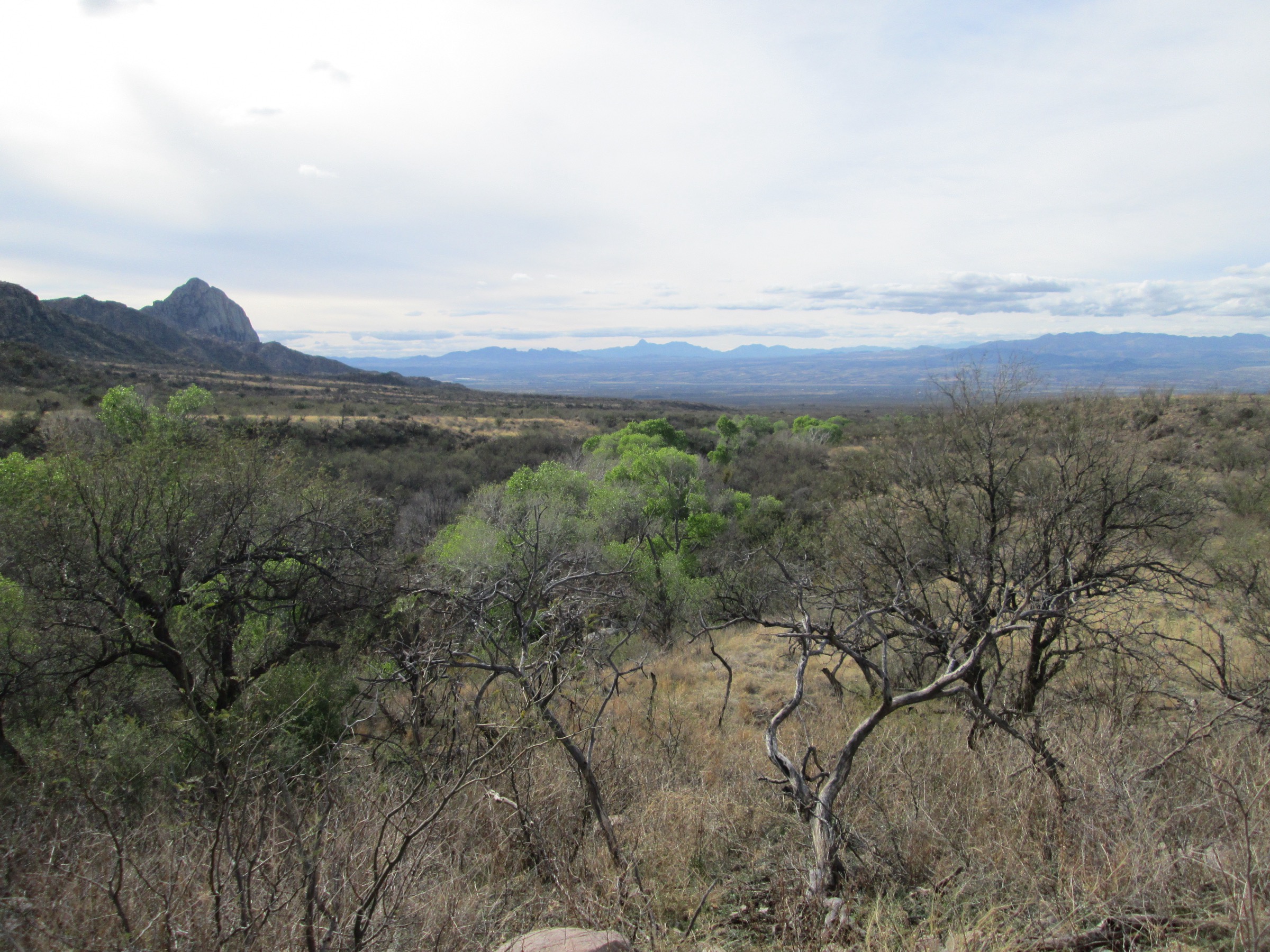
From the Elephant Head access in the west foothills near Green Valley, the shared-use foothill trail contours through rocky desert grassland and scrub below the distinctive Elephant Head landmark. The route winds along stony tread, gaining and losing minor elevation with intermittent views up toward the western Santa Rita bluffs. The turnaround for the day-hike version is on the foothill trail well below the summit block — the actual top of Elephant Head is a technical scramble on exposed rock and is not the objective of this entry. Return by the same route.
Why it is essential
Elephant Head is the most recognisable western Santa Rita landmark, and this route adds the range’s lower desert-grassland face to a catalogue otherwise centred on Madera Canyon forest and the Wrightson crest. It also fills the “shorter, drier, non-Madera” slot in the set and gives a very different view of the range from the summit routes on the east side.
Equipment
- Sun protection, brimmed hat
- 2–3 L water; no on-route water
- Sturdy trail shoes — the tread is rocky and winding
- Offline map; junctions with unofficial spur tracks are common
- Consider a high-clearance vehicle for the access road after storms
Hazards and notes
- Full sun exposure and desert heat; not a summer route
- Rocky, winding tread with route-finding attention needed at junctions
- Shared-use trail — mountain bikers use the same tread; yield conventions apply
- Do not confuse the foothill trail with the summit scramble — the top of Elephant Head is exposed Class 3+ terrain
- Access road can be rough or briefly impassable after monsoon rain
Sources and route files
| Source | URL | Format | Reuse note |
|---|---|---|---|
| AllTrails — Elephant Head Mountain Bike Trail | alltrails.com | Source route map | AllTrails terms; reference only |
| U.S. Forest Service — Santa Rita Mountains | fs.usda.gov | Official regional context | Public information |
| OpenStreetMap | openstreetmap.org | OSM XML / GPX export | ODbL 1.0; reusable with attribution |
Region-wide cautions
- Water is scarce everywhere in the Santa Ritas, including the trailheads. Do not rely on trailhead taps at Madera Canyon; carry all treated water for the day.
- Monsoon lightning on the upper Wrightson crest, roughly July to early September, is the most serious summer hazard. Start at first light and be off exposed ridges by early afternoon.
- Winter ice and snow persist on the Old Baldy, Super and Crest trails above Josephine Saddle. Check current conditions with the Nogales Ranger District before travelling.
- Fees and passes — Madera Canyon is a day-use fee area under the Coronado National Forest. America the Beautiful passes are accepted; standard Forest Service day-use fees apply otherwise.
- Cell coverage is limited to non-existent above the canyon floor. Carry offline maps and a printed backup for the summit routes and the Arizona Trail passage.
- Wilderness regulations apply throughout the Mount Wrightson Wilderness: no bikes, no mechanised transport, and standard Leave No Trace principles.
- Dogs — leash rules apply on Coronado National Forest land; check current orders before travel, particularly during fire restrictions.
Further reading
Sibling articles on the surrounding Madrean Sky Islands cover the geologically distinct Chiricahua Mountains to the east, the Huachuca Mountains to the south, and the Pinaleño Mountains to the north-east. Each Sky Island has a different balance of desert, canyon and high forest, and the four together give the fullest portrait of the range chain.