Regional overview
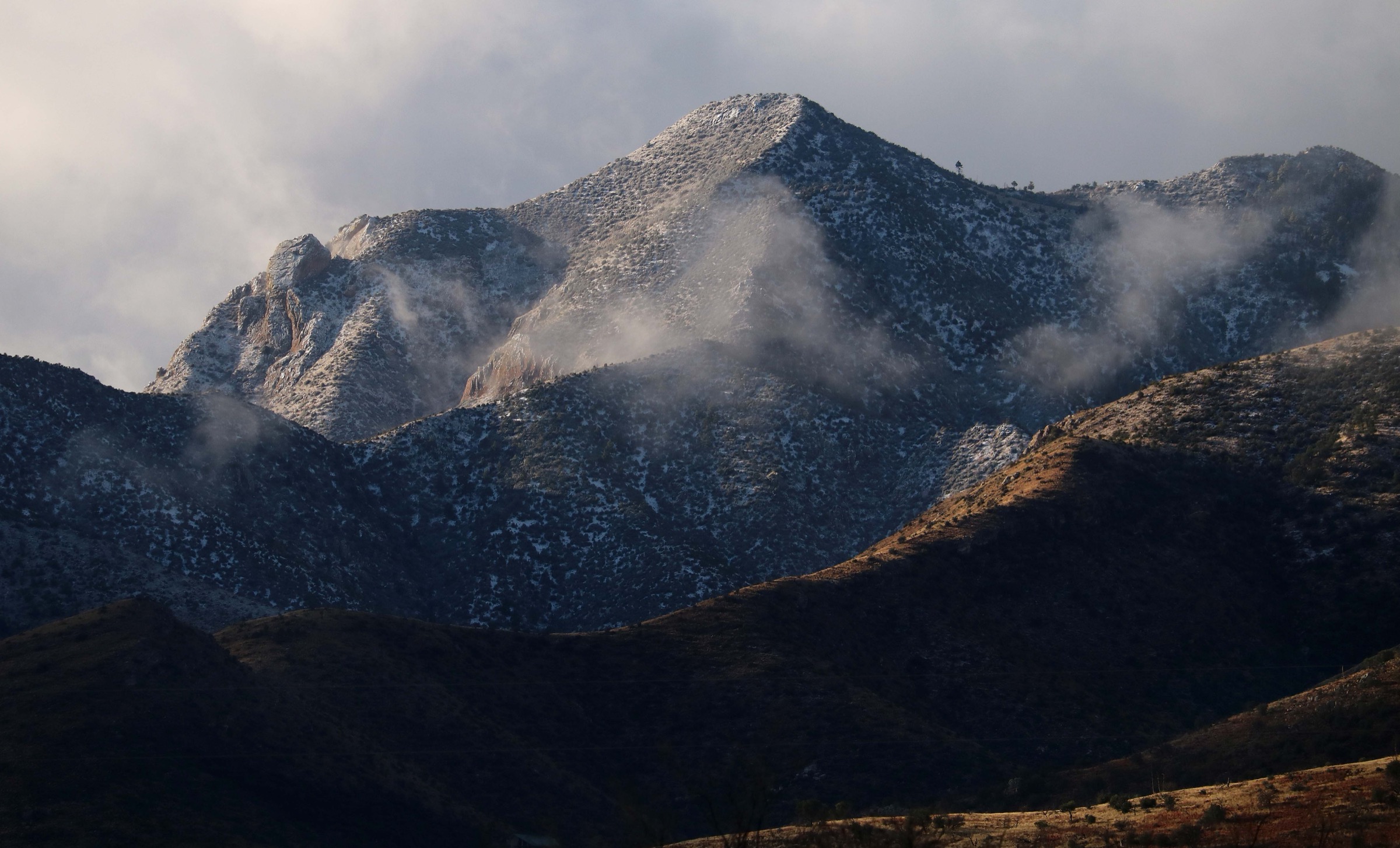
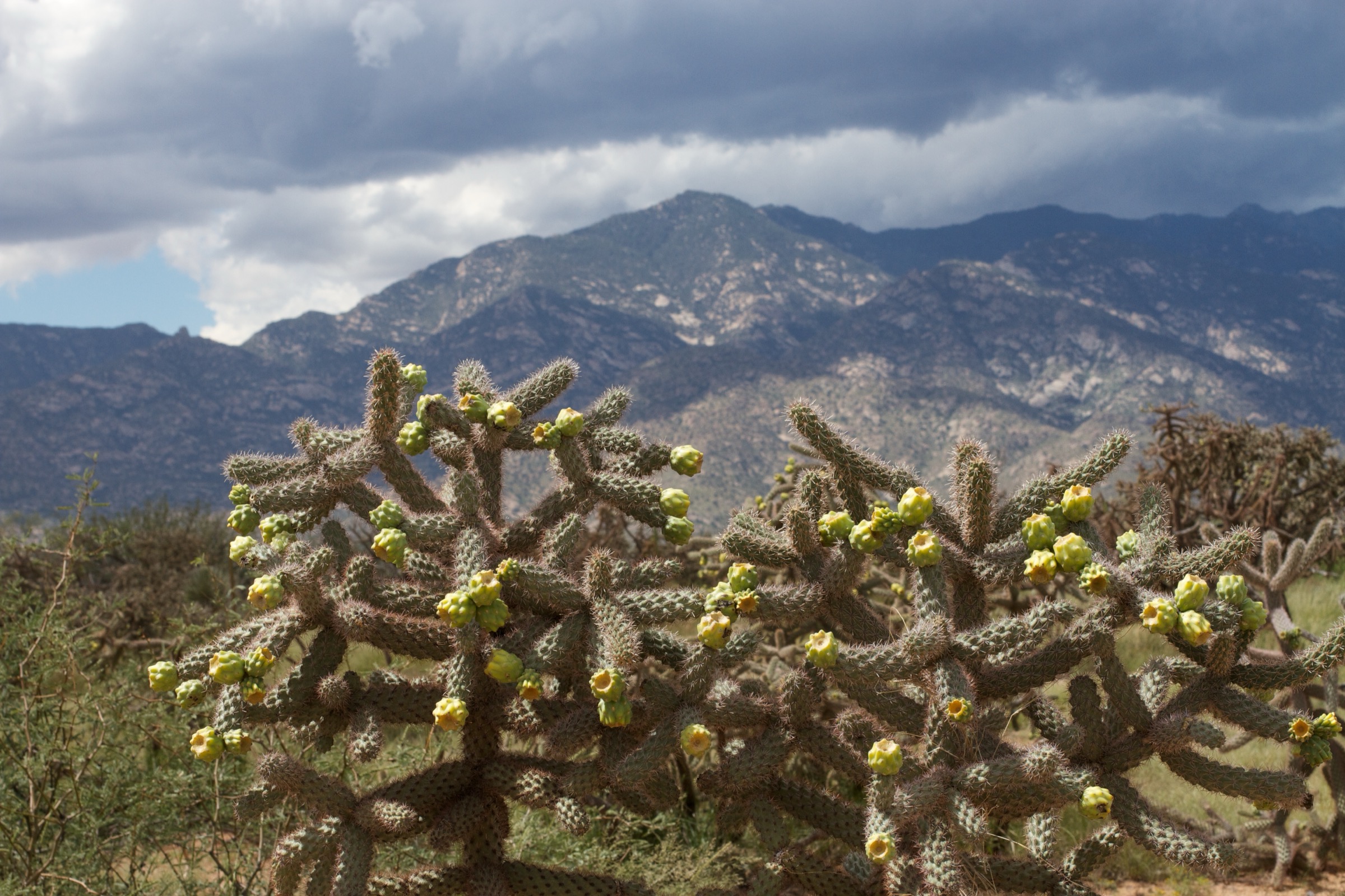
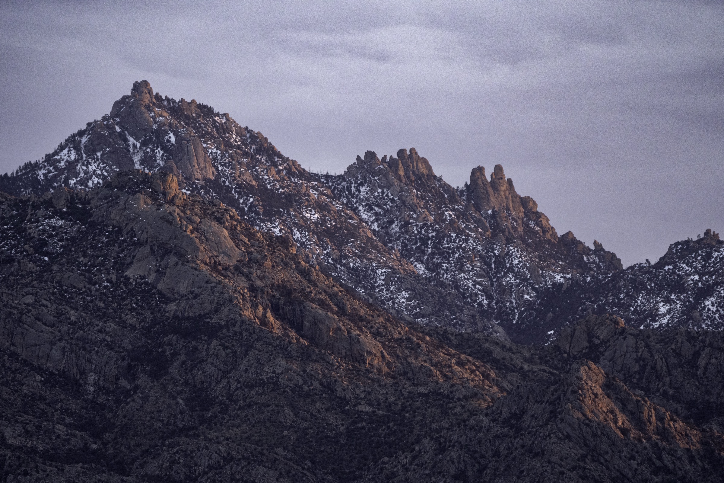
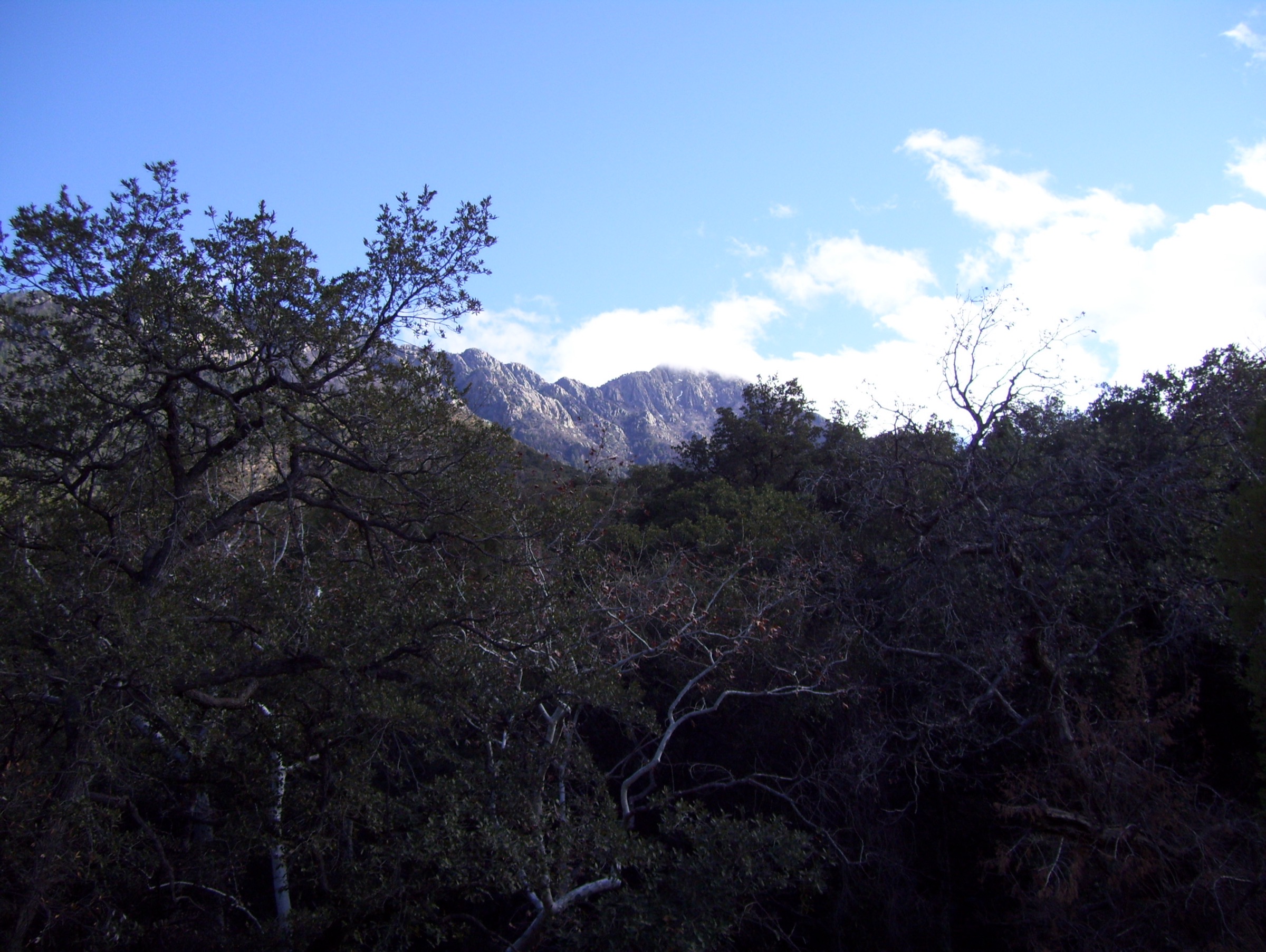
The Chiricahua Mountains are the largest and most biologically diverse of the Madrean Sky Islands — the chain of isolated, forested mountain ranges that rise from the Sonoran and Chihuahuan desert grasslands of south-east Arizona, southern New Mexico and northern Mexico. The range extends roughly 65 km north–south through Cochise County and culminates at Chiricahua Peak (2,975 m / 9,759 ft), the county high point and one of the classic Arizona summits. Because the range projects far enough south to catch the northern edge of the Sierra Madre Occidental biota, it holds an extraordinary concentration of species at the northern or southern edge of their ranges: the historical jaguar and thick-billed parrot both crossed here, and the eastern canyons remain one of the top birding destinations in the United States.
Two distinct hiking landscapes dominate. Chiricahua National Monument, on the west side of the range, protects the rhyolite hoodoo country informally known as the “Wonderland of Rocks”: a maze of balanced rocks, pinnacles, columns and slot-like grottoes formed when pyroclastic flows from the Turkey Creek caldera eruption, approximately 27 million years ago, laid down thick beds of welded rhyolite tuff that have since eroded into fantastical shapes. The monument’s trail network was almost entirely built by the Civilian Conservation Corps in the 1930s and remains one of the most complete CCC hiking systems in the National Park System. Immediately east and south, the Chiricahua Wilderness (~87,700 acres, designated 1964) in the Coronado National Forest protects the higher, forested crest, with mixed conifer and aspen on the ridges, deep canyons such as Cave Creek Canyon on the east side, and open oak-juniper woodland lower down.
The range’s human history is inseparable from the late Apache wars. It was the heart of Cochise’s territory, and the neighbouring Cochise Stronghold in the Dragoon Mountains and Fort Bowie National Historic Site at Apache Pass mark the principal Apache strongholds and their eventual capture. Cochise himself is buried somewhere in the range; the exact location has never been made public.
The 2011 Horseshoe Two Fire — one of the largest wildfires in Arizona history at the time — burned roughly 223,000 acres of the range, including much of the Chiricahua Wilderness and adjoining forest. Recovery is well under way, but the fire’s mark is still visible on the higher Coronado National Forest trails: reduced canopy, faint tread in places, occasional blowdown, and standing dead timber. The National Monument was largely spared. Access between the two hiking zones is by Forest Road 42 (Pinery Canyon Road), unpaved and unreliable in winter and after monsoon rain; a high-clearance vehicle is strongly preferred. Best hiking is April–May and September–early November across the range as a whole; the monument’s lower hoodoo trails are effectively year-round, while the wilderness high country needs to be timed against snow (May to October). The summer monsoon, roughly July to early September, delivers frequent afternoon thunderstorms with serious lightning risk on the exposed rhyolite ridges and flash-flood risk in the canyons.
The NPS operates a seasonal hikers’ shuttle inside Chiricahua National Monument, which allows one-way descents from Massai Point or Echo Canyon to the Visitor Center. The provisional 2026 schedule runs Friday, Saturday and Sunday from January to mid-April; the shuttle did not run in autumn 2025, and its operation is staff-dependent, so status should be reconfirmed with the park before planning a one-way traverse. There is no public transport to the range, and cell coverage is essentially absent across the entire area.
See also: Santa Rita Mountains, Arizona day-hikes · Santa Catalina Mountains, Arizona day-hikes.
Selection rationale
Five day-hikes are presented across the two principal sub-ranges and the range’s main landscape types: the signature hoodoo circuit through the Wonderland of Rocks (Heart of Rocks Loop), a short and iconic grotto-and-pinnacle loop (Echo Canyon Loop), a family-scale summit with an original CCC fire lookout (Sugarloaf Mountain), the wilderness high point of the range (Chiricahua Peak from Rustler Park), and the classic east-side canyon climb from Cave Creek (Silver Peak Trail). The mix balances the National Monument’s rhyolite formations against the wilderness high country and the Cave Creek east-side character, and provides one short family-friendly option among longer, more strenuous days.
Routes excluded as out of scope are discussed at the end of the article.
Summary
| # | Hike | Trailhead | Route type | Distance | Gain | Max elevation | Difficulty |
|---|---|---|---|---|---|---|---|
| 1 | Heart of Rocks Loop | Echo Canyon (Chiricahua NM) | Lollipop loop | 12.0 km | 490 m | 2,100 m | Strenuous |
| 2 | Echo Canyon Loop | Echo Canyon (Chiricahua NM) | Loop | 5.5 km | 170 m | 2,068 m | Moderate |
| 3 | Sugarloaf Mountain | Sugarloaf TH (Chiricahua NM) | Out-and-back | 2.9 km | 150 m | 2,228 m | Easy–moderate |
| 4 | Chiricahua Peak | Rustler Park (Coronado NF) | Out-and-back | 17.5 km | 650 m | 2,975 m | Strenuous |
| 5 | Silver Peak Trail | Cave Creek Canyon (FR 42) | Out-and-back | 15.3 km | 950 m | 2,428 m | Strenuous |
1. Heart of Rocks Loop
Snapshot
Itinerary
From the Echo Canyon parking area on Bonita Canyon Drive, the Ed Riggs Trail drops gently through ponderosa pine and Arizona cypress into the head of Rhyolite Canyon. At the junction with the Mushroom Rock Trail the route turns south and climbs about 186 m up the opposite side of the canyon, passing named formations including Mushroom Rock itself. The trail then joins the Big Balanced Rock Trail along the ridge, undulating through columns and pinnacles and passing Big Balanced Rock — the eponymous perched block that gives the trail its name — before dropping into the Heart of Rocks Loop.
The NPS recommends walking the loop clockwise (bearing left at the loop junction) for the best views and easiest grade. The circuit passes many of the monument’s signature named hoodoos, among them Pinnacle Balanced Rock, Duck on a Rock, Camel’s Head, Kissing Rocks, Thor’s Hammer and Punch and Judy. Rock-cut steps and short, uneven descents between formations are frequent throughout. Rejoining the Big Balanced Rock Trail, the route retraces the outbound line via Mushroom Rock and Ed Riggs to the Echo Canyon Trailhead.
A longer variant, the Big Loop (15.4 km), extends the day to include Inspiration Point, Upper Rhyolite Canyon and Sarah Deming, combining almost every major National Monument highlight into a single circuit — but at the cost of a substantially longer day and no additional named hoodoos.
Why it is essential
This is the signature hike of Chiricahua National Monument and one of the most distinctive hoodoo circuits in North America. It threads together the majority of the named rock formations that define the Wonderland of Rocks and reaches both Big Balanced Rock and the Heart of Rocks basin, the two iconic geological set-pieces of the range. Any list of essential Chiricahua day-hikes has to include this loop.
Equipment
- Sturdy hiking shoes with grip for the many rock-cut steps
- 2–3 L water per person — no water on trail
- Sun protection for the exposed ridge sections
- Offline map (NPS hiking guide) — cell service is unreliable
- Trekking poles helpful on the descent from Mushroom Rock
Hazards and notes
- Rock steps and uneven surfaces are frequent throughout; slips on the steps are the most common injury.
- Summer monsoon lightning is a serious hazard on the exposed ridges from July to early September — start early and be off the ridge by early afternoon.
- Snow and ice can linger in shaded sections in winter.
- No pets on any Chiricahua National Monument trail.
- A federal-lands entrance fee applies (America the Beautiful passes accepted); check nps.gov/chir for current amounts.
- Echo Canyon parking fills by mid-morning on peak days; arrive early.
2. Echo Canyon Loop
Snapshot
Itinerary
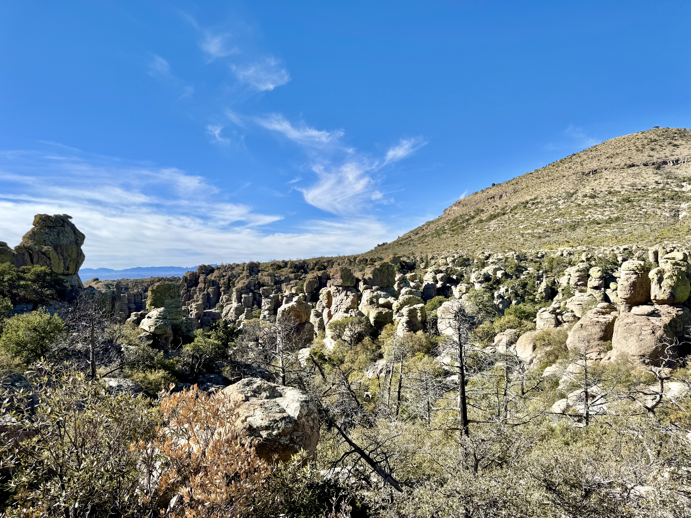
From the Echo Canyon parking area, the NPS recommends walking the loop counter-clockwise. The Echo Canyon Trail heads west and within about 800 m enters The Grottoes, a series of tall, intertwined arches worn between jagged rhyolite boulders, and then Wall Street, a narrow slot-like passage between vertical columns. Steep, engineered CCC switchbacks then descend approximately 120 m through pinnacles and hoodoos into Echo Park, a wooded flat of Arizona cypress and ponderosa pine at the base of the formations.
At the west end of Echo Park the route turns onto the Hailstone Trail, contouring south-east along the south-facing wall of Rhyolite Canyon through drier vegetation — yucca, agave and hedgehog cactus — for just under 1.6 km. The Ed Riggs Trail then climbs about 120 m north-east through open pine woodland back to the trailhead. NPS notes that the counter-clockwise direction is preferred so that the steepest, most exposed section is descended rather than ascended.
Why it is essential
Short enough to fit into any Chiricahua visit and containing the most concentrated stretch of grottoes, slot-like passages and pinnacle scenery in the monument, this loop is the most reliable single introduction to the Wonderland of Rocks. It is the most walked trail in the monument and consistently ranks as a must-do on official NPS materials — a compact, near-perfect sampler of the range’s geological character.
Equipment
- Sturdy hiking shoes — trainers are inadequate on the loose rock steps
- 1.5–2 L water per person; no water on trail
- Sun protection
- Trekking poles helpful for the descent into Echo Park
Hazards and notes
- Steep drop-offs and uneven rocky tread throughout; the switchback section into Echo Park has significant exposure.
- NPS notes grades of 1–25 % with cross-slopes to 50 % in places.
- Winter ice is possible in the shaded switchbacks; check current conditions.
- Monsoon-season lightning on the upper canyon rim; start early in July and August.
- No pets, bikes or drones on any monument trail.
- Parking may fill on winter weekends and spring break days.
3. Sugarloaf Mountain
Snapshot
Itinerary
The trail climbs steadily on a well-graded, wide path through pine and oak woodland on the north side of Sugarloaf Mountain. The tread is largely stable, with occasional stone steps built by the Civilian Conservation Corps in the 1930s. After roughly 800 m the route contours through a short tunnel-like cutting and continues on easy switchbacks to the rocky summit dome. The dark summit rock is dacite — a younger lava flow that erupted on top of the surrounding welded rhyolite tuff, and which the softer tuff has since eroded around, leaving Sugarloaf as an isolated cap.
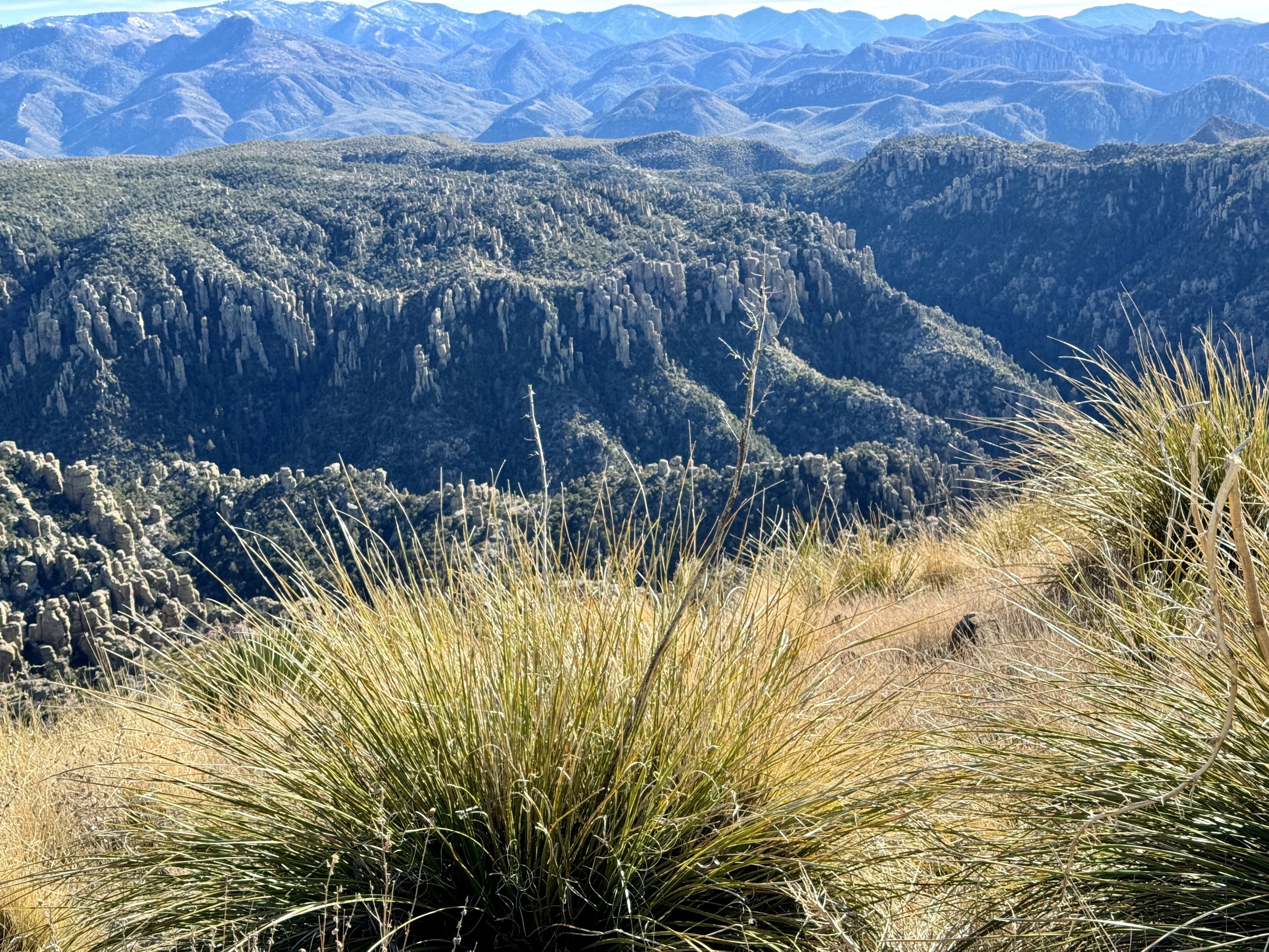
The summit hosts the 1935 CCC-built Sugarloaf Fire Lookout, a 14-foot square wooden cabin on a stone base, listed on the National Historic Lookout Register. From the summit the view extends across Bonita Canyon and Rhyolite Canyon, the pinnacle country south towards Heart of Rocks, and — on clear days — the Dragoon and Dos Cabezas mountains and out to the Chihuahuan Desert grasslands. Return by the same route.
Why it is essential
Sugarloaf is the highest maintained point in the monument, the shortest summit walk in the range, and one of the very few historic staffed fire lookouts still standing on a hiking summit in southern Arizona. It provides a quick 360° orientation to the entire Chiricahua landscape and is realistic for families and less-experienced walkers — a short, high-yield route that pairs well with any of the longer entries.
Equipment
- Trail shoes are adequate for the well-graded tread
- Sun protection for the exposed summit rock
- 1 L water per person
- Light jacket for wind at the summit
Hazards and notes
- Minor exposure on the summit block; supervise children on the rocks.
- Lightning is a serious hazard during monsoon storms — this is a rocky high point and should be descended at the first sign of thunderstorm activity.
- No pets.
- The Sugarloaf Fire Lookout is staffed seasonally; the 2022 NPS hiking guide states “the fire lookout is not used”, but seasonal staffing has resumed in some years — confirm current status with the park before assuming access.
4. Chiricahua Peak from Rustler Park
Snapshot
Itinerary
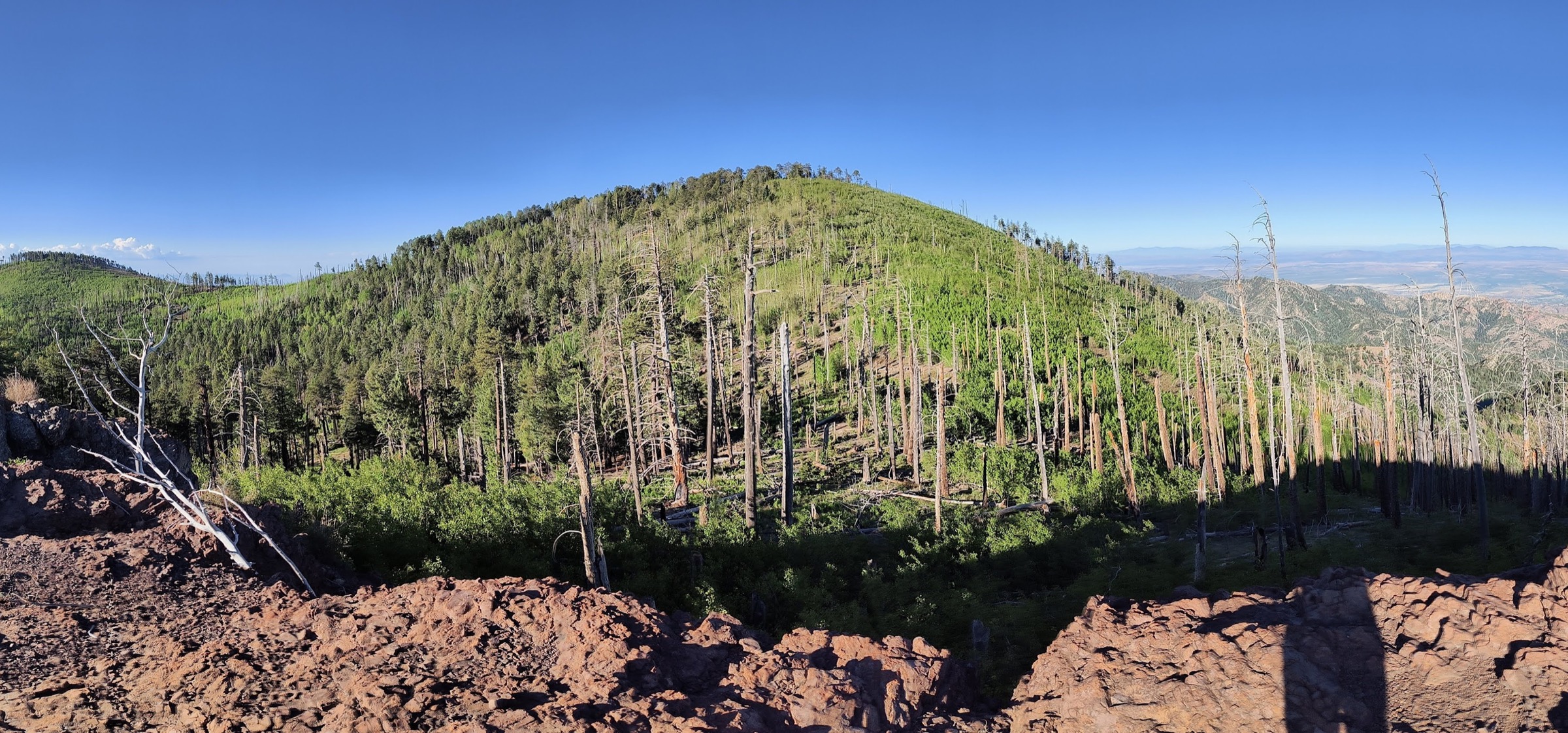
From the Rustler Park Trailhead — the site of a former ski lift and campground on the western crest of the range — Crest Trail #270 begins in mixed conifer and aspen and climbs gently south-east along the divide. The trail passes Bootlegger Saddle and skirts Long Park before reaching the north shoulder of the Chiricahua massif. The route undulates over a series of high saddles with recovering forest and open, sun-exposed sections where the 2011 Horseshoe Two Fire removed shade cover; blowdown and faint tread are occasional through these stretches, and the ground can be surprisingly slow going.
Approaching Junction Saddle, the Crest Trail passes below the summits of Flys Peak (2,957 m) and Chiricahua Peak itself. A short spur — Chiricahua Peak Trail #270A — climbs the final ~50 m to the wooded summit, which offers limited views through recovering forest but partial vistas across the wilderness. Parties with time and energy commonly add a detour over Fly Peak on the return, which extends the day by roughly 1 km and adds one of the range’s other named crest summits. Return is by the outbound route.
Why it is essential
Chiricahua Peak is the range high point, the highest summit in Cochise County, and one of the classic Arizona Sky Island summits. The route traverses the Chiricahua Wilderness crest — a landscape unlike anything else in Arizona at this latitude — and stands in complete contrast to the hoodoo country of the National Monument to the north. It is the essential high-country day-hike of the range.
Equipment
- Mountain hiking boots for the long day and rough tread through burn areas
- Extra warm layer for altitude — afternoon storms can drop temperatures sharply
- 3 L water minimum per person — no reliable water on route
- Navigation backup (offline map and GPS track) — trail can be faint in burn areas
- Headtorch for a long summer day
- Bear-aware food storage (black bear is present in the wilderness)
- Tick protection in early season
- Trekking poles for the return descent
Hazards and notes
- Faint tread, occasional blowdown and eroded sections through the 2011 Horseshoe Two Fire scar; volunteer maintenance is limited and route-finding is at times required.
- Afternoon lightning risk on the exposed crest during monsoon (July to early September) — start early and treat any building cumulus as a signal to descend.
- Snow can linger on north-facing slopes into late May.
- FR 42 (Pinery Canyon Road) to the trailhead is unpaved, rough and frequently closed or unsafe in winter and after heavy rain — verify road status with the Douglas Ranger District before travel.
- No permits are required for day use of the Chiricahua Wilderness at time of research; group-size limits and wilderness regulations (no mechanised transport, no drones, no motorised equipment) apply.
- Cell service is essentially absent throughout the route.
5. Silver Peak Trail from Cave Creek Canyon
Snapshot
Itinerary
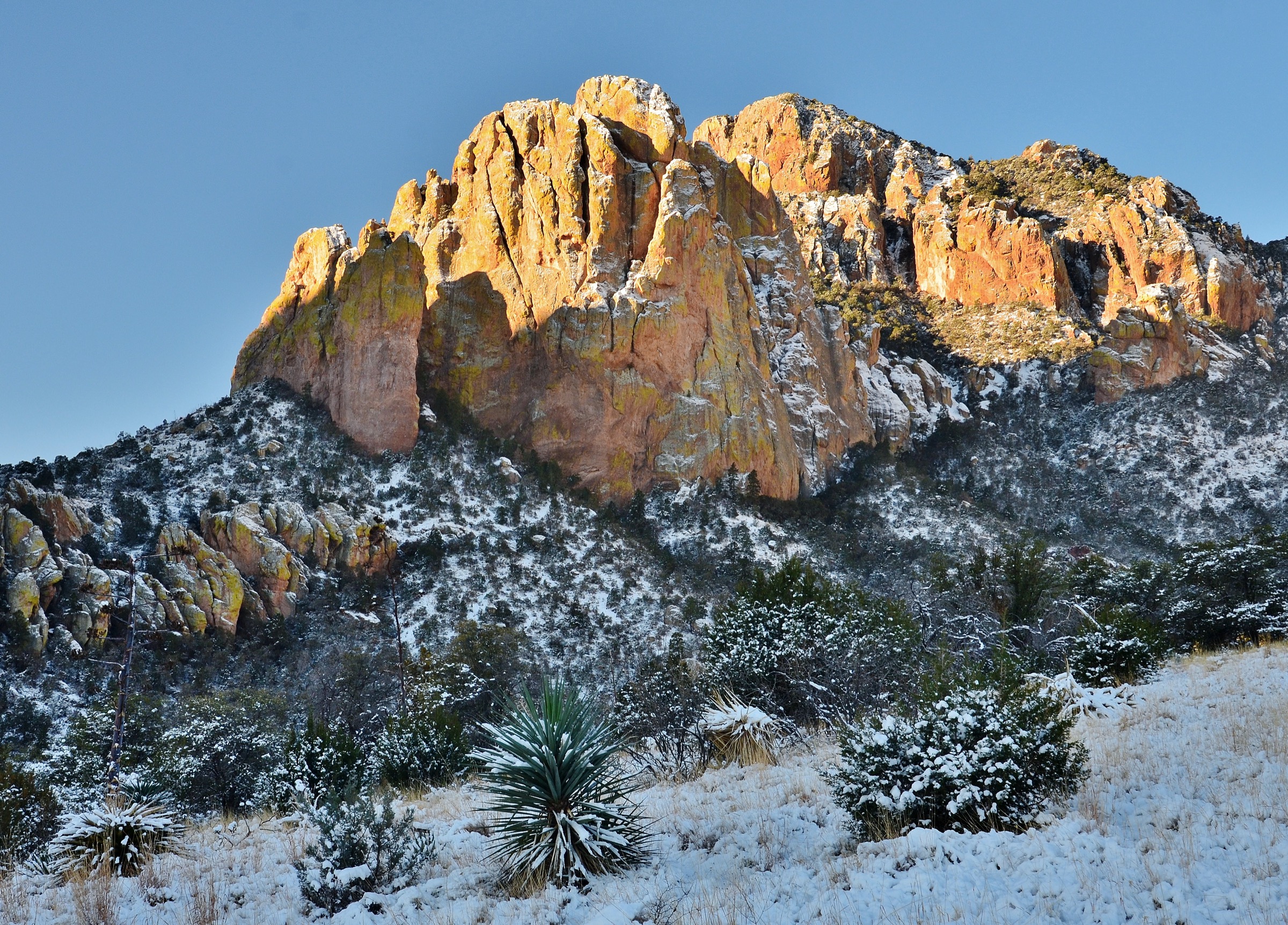
From the paved Silver Peak trailhead on Forest Road 42 in Cave Creek Canyon, the trail crosses through a livestock gate and climbs steadily north-west via long, engineered switchbacks up the south-east flank of Silver Peak. The lower section passes through desert scrub, juniper and mountain oak, with striking views of the coloured rhyolite cliffs of Cave Creek Canyon — a canyon system so vertical that it is sometimes called the “Yosemite of Arizona”. Higher up the trail passes The Fingers, a small group of tuff pinnacles, and a large alligator juniper.
Above roughly 2,100 m the trail enters pine-oak forest and stone-cut steps steepen the final approach to the summit ridge. A set of 51 concrete steps built for the historic Silver Peak fire lookout — the structure itself burned in 1992 and only the foundation remains — leads to the summit. The view opens across Cave Creek Canyon, over Portal Peak, the Southwestern Research Station (a well-known field station operated by the American Museum of Natural History), and north-east across the San Simon Valley. Return by the outbound route.
Why it is essential
Silver Peak is the classic and most-walked east-side day-hike in the Chiricahuas. It offers the fullest experience of Cave Creek Canyon’s geology and Sky Island ecological zonation — desert scrub through juniper and pine-oak to upper conifer forest — in a single day, and it is the natural counterpart to the crest walk from Rustler Park on the west side. Together the two hikes bookend the range.
Equipment
- Mountain hiking boots for the sustained climb and descent
- 3+ L water per person — no water on trail; the south-facing lower slopes are hot
- Sun protection and a wide hat for the exposed switchbacks
- Trekking poles recommended for the descent
- Tick protection in warmer months
- Offline map — cell coverage is essentially absent
Hazards and notes
- Sustained heat exposure on the lower switchbacks; start at dawn in warmer months, avoid the route between late May and mid-September.
- Loose tread on some switchbacks in the middle section.
- Post-Horseshoe Two Fire recovery affects portions of the upper trail; check current condition with the Douglas Ranger District before travel.
- Rattlesnakes are possible on the lower slopes; watch foot placement on warm rocks.
- Very little shade below 2,000 m; the day is essentially a sun-exposed climb until the pine-oak forest.
- No permits required for day use; bear-aware food storage recommended in Cave Creek Canyon overnight.
Routes excluded as out of scope
The following sit inside or adjacent to the Chiricahua Mountains but fall outside a day-hike entry, are too duplicative of the five above, or are better understood as backpacks or informal trips.
- Cochise Head. A striking summit at the north end of the range, but the approach is via a rough, unofficial route with poor tread and route-finding; better suited to experienced range regulars than a general day-hike catalogue.
- Snowshed Peak. A worthwhile crest summit close to Chiricahua Peak, but redundant with the Crest Trail day out of Rustler Park and typically combined with Chiricahua Peak on an overnight rather than as a stand-alone day.
- Monte Vista Peak Lookout. A functioning fire lookout with a fine view, but the direct road access has been variable and the walking approach from the Coronado NF side is best treated as a backpack rather than a day-hike.
- NM Big Loop (15.4 km). The full monument circuit from the Visitor Center adds Inspiration Point, Upper Rhyolite and Sarah Deming to the Heart of Rocks route, but essentially duplicates entry 1 when started from the Echo Canyon trailhead; the extra distance is rarely worth the loss of ridge time.
- Cave Creek Canyon roadside walks. The short paved and gravel walks around the Southwestern Research Station, Cathedral Vista and the John Hands campground are excellent for birding and family strolls but sit below the day-hike threshold used elsewhere in this catalogue.
Further reading
| Source | URL |
|---|---|
| NPS Chiricahua National Monument — official page | nps.gov/chir |
| NPS Chiricahua National Monument Hiking Guide (2022, PDF) | npshistory.com |
| NPS — Heart of Rocks Loop | nps.gov |
| NPS — Echo Canyon Loop Trail | nps.gov |
| NPS — Sugarloaf Mountain Trail | nps.gov |
| USFS Coronado NF — Chiricahua Wilderness | fs.usda.gov |
| USFS Coronado NF — Silver Peak #280 | fs.usda.gov |
| Chiricahua Trails — Crest Trail #270 | chiricahuatrails.com |
| Chiricahua Trails — Silver Peak Trail #280 | chiricahuatrails.com |
| Outdoor Pilgrim — Chiricahua Peak | outdoorpilgrim.com |
| American Southwest — Chiricahua National Monument | americansouthwest.net |
| Friends of Cave Creek Canyon | friendsofcavecreekcanyon.com |
| Wikipedia — Chiricahua Mountains | en.wikipedia.org |
| Wikipedia — Chiricahua Peak | en.wikipedia.org |
| Wikimedia Commons — Chiricahua National Monument | commons.wikimedia.org |
| Wikimedia Commons — Chiricahua Mountains | commons.wikimedia.org |
| OpenStreetMap (ODbL 1.0) | openstreetmap.org |