Regional overview
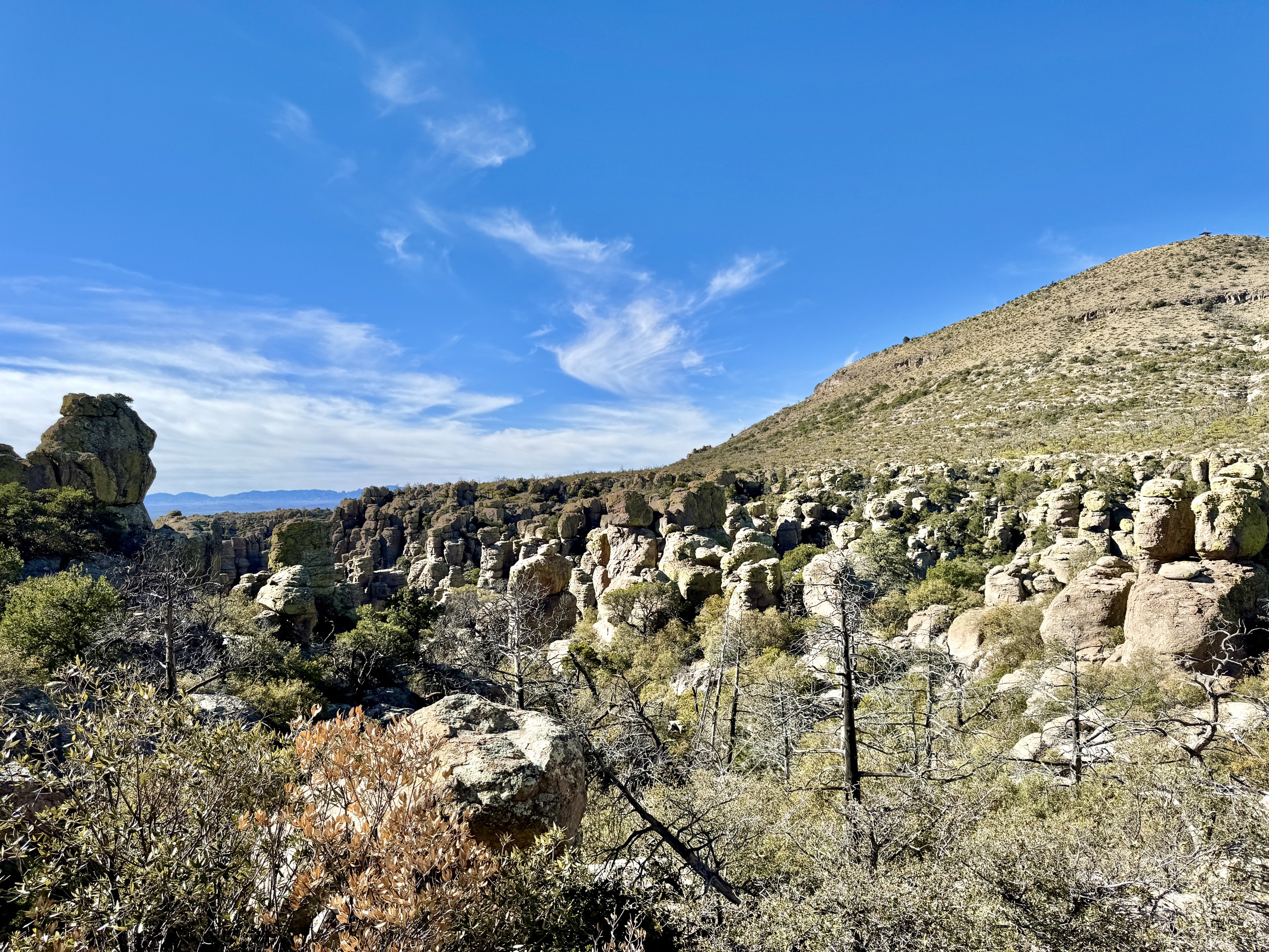
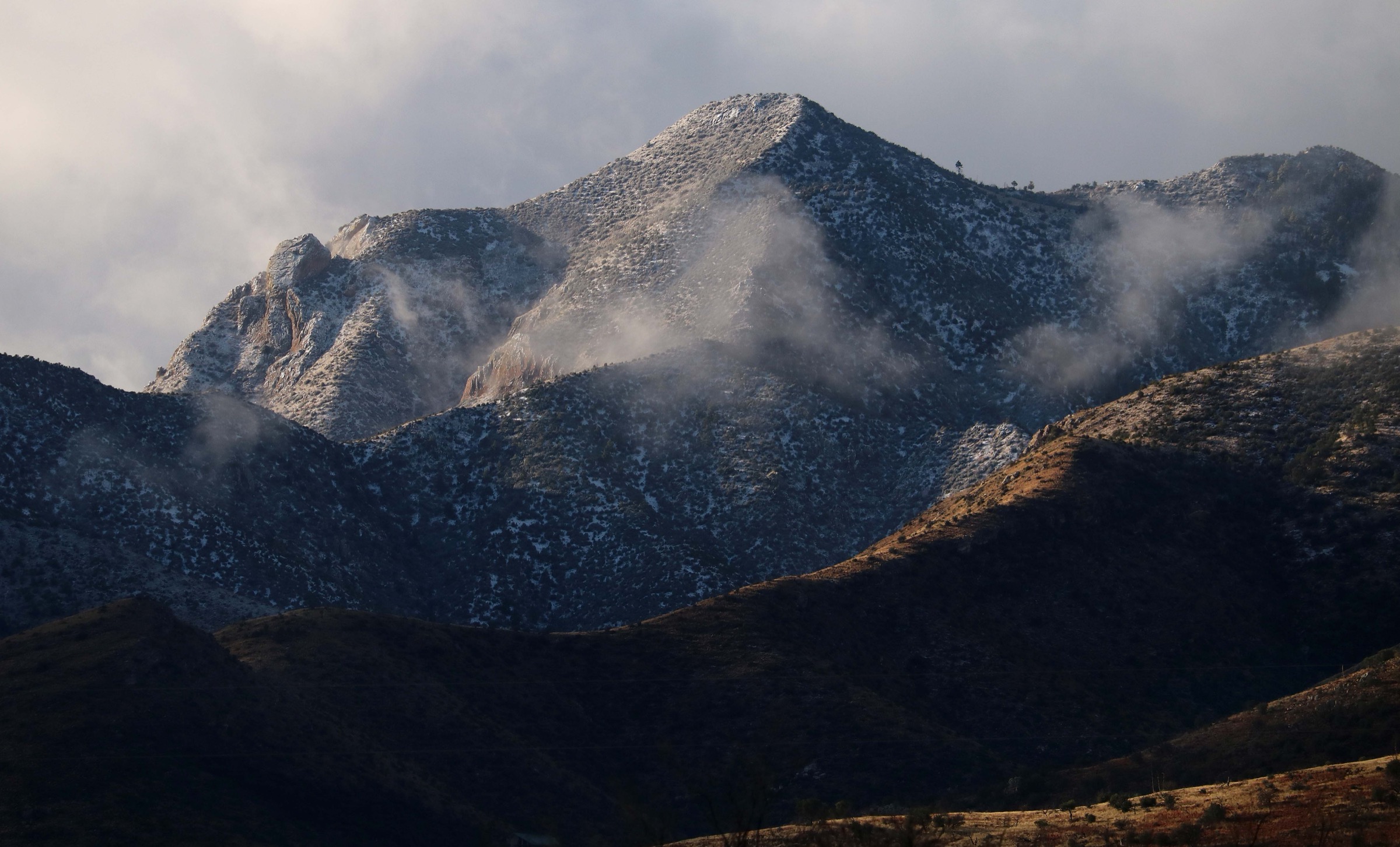
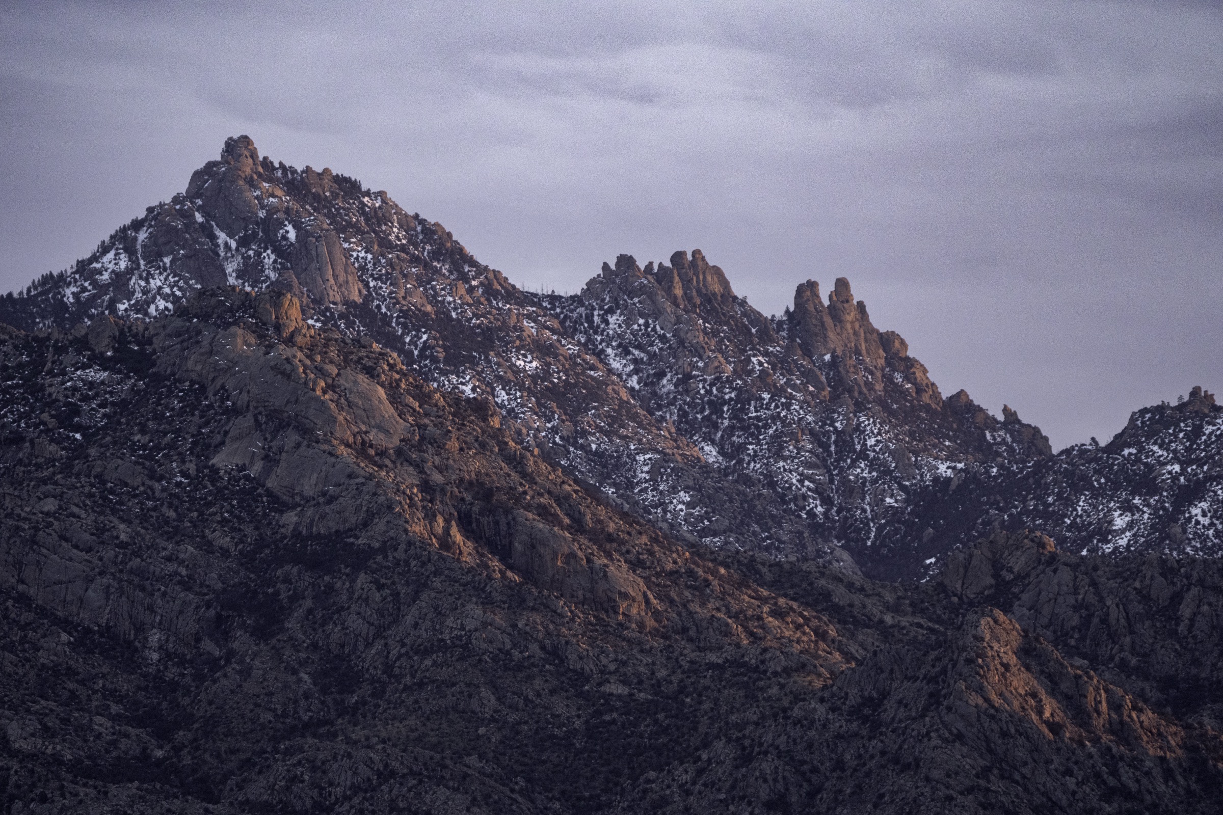
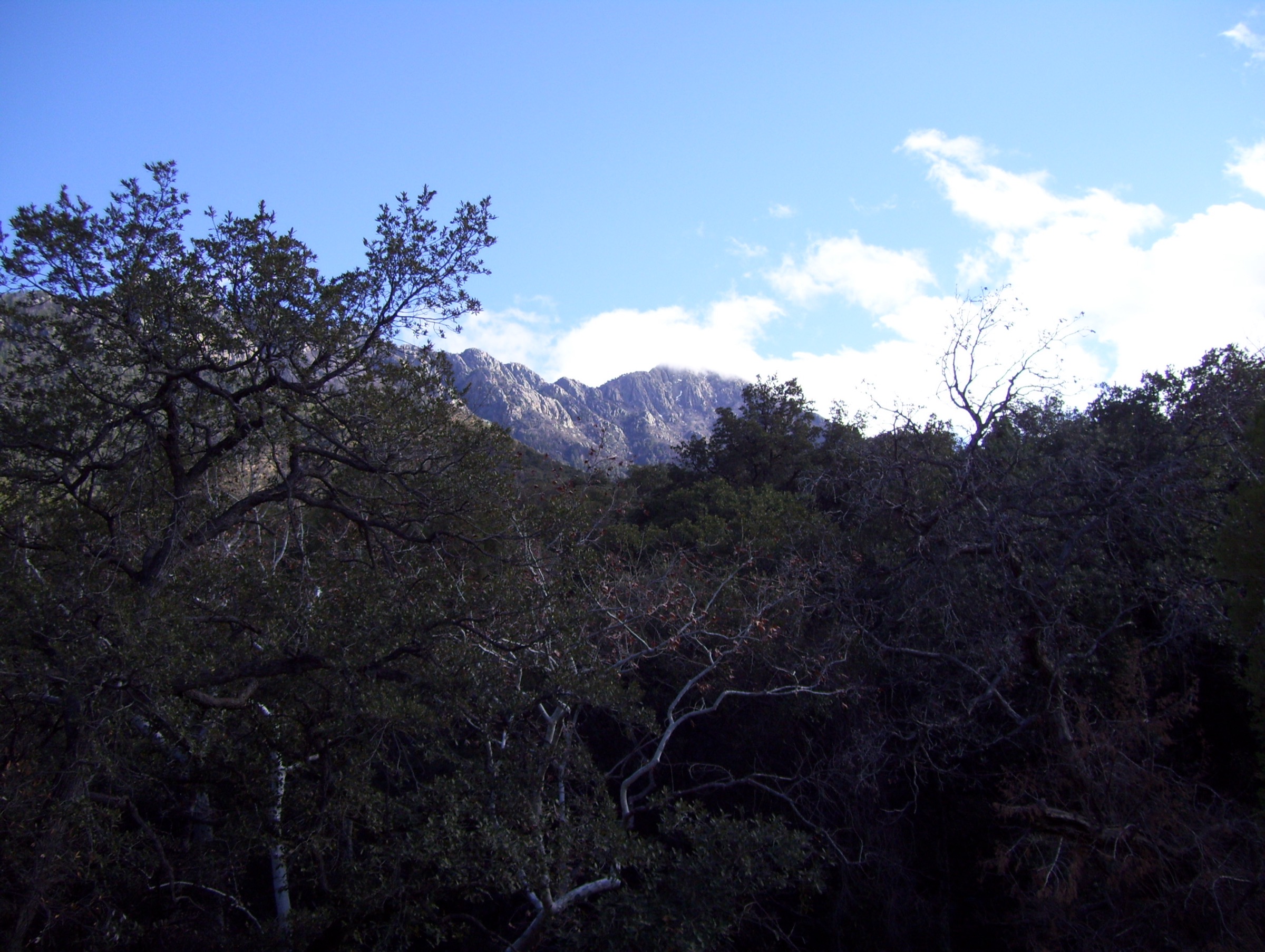
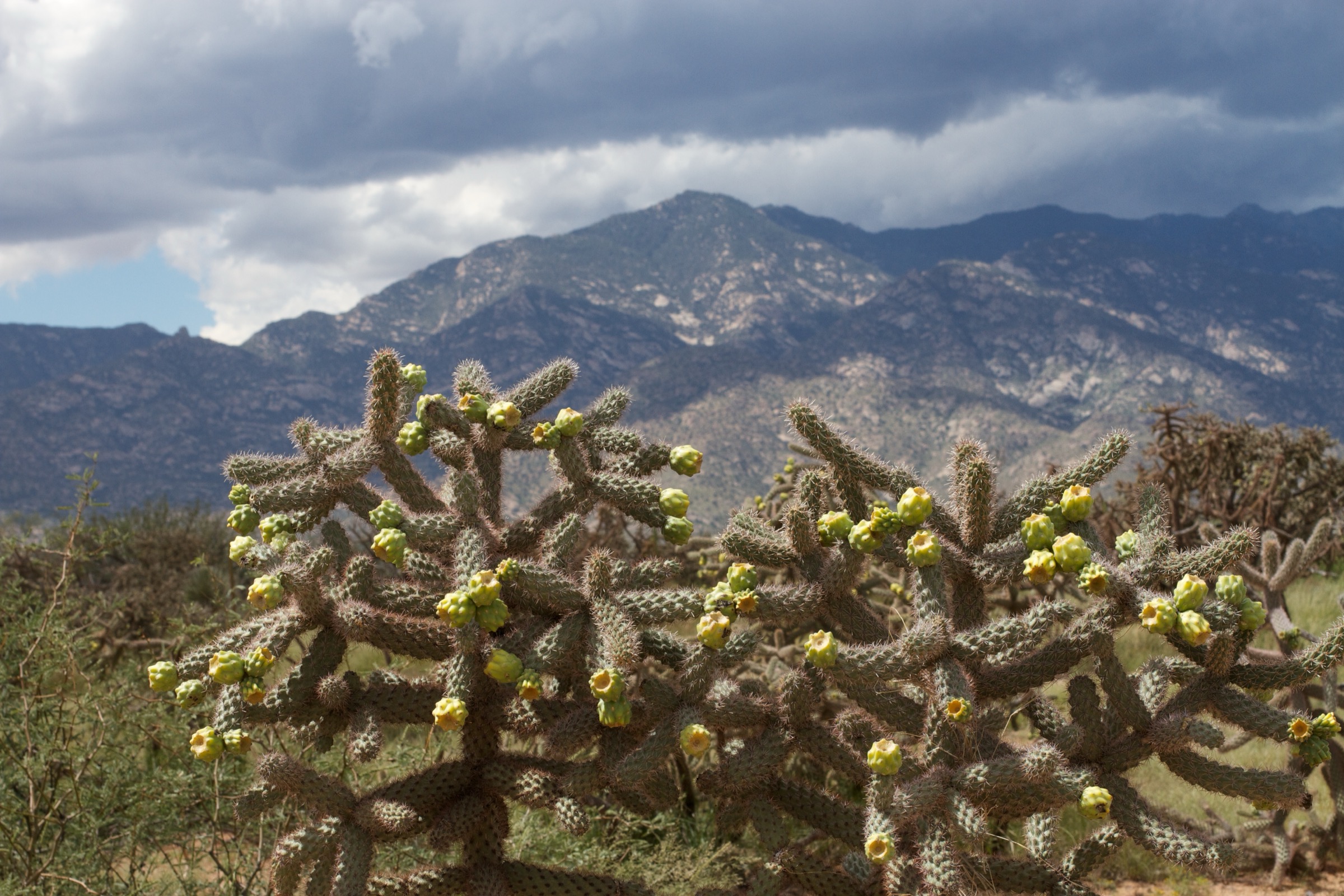
The Pinaleño Mountains rise abruptly from the Sulphur Springs and San Simon valleys of south-eastern Arizona to the summit of Mount Graham (3,269 m / 10,720 ft), the range high point and the highest of all the Madrean Sky Islands. From the desert floor near Safford at roughly 1,100 m to the summit, the range presents the greatest vertical relief of any US sky island — more than 2,150 m over a horizontal distance of only a handful of kilometres. The Nature Conservancy describes the range as containing the highest concentration of habitats of any mountain range in North America, sequencing Sonoran desert grassland, oak-juniper woodland, ponderosa pine, Douglas-fir and white fir, and Arizona’s most extensive Engelmann spruce and corkbark fir forest into a single vertical band. The spruce-fir belt on the summit ridge is a boreal remnant marooned on a desert-surrounded island, and its ecological isolation is the reason the range shelters an endemic mammal found nowhere else on Earth.
Almost all foot access is from Arizona State Route 366, the Swift Trail Parkway, which climbs south-west out of Safford and gains more than 2,100 m over about 56 km before becoming Forest Road 803 above Columbine. The upper Swift Trail is closed by seasonal gate every winter, typically from mid-November to mid-April — the Arizona Department of Transportation confirmed the gate would close on 15 November 2025 for the 2025–2026 season — removing vehicle access to Columbine, Riggs Flat, the high trailheads and the observatory. Below Shannon Campground the road stays open year-round, and the lowest trailheads remain reachable outside the summer monsoon.
The true summit of Mount Graham lies inside the Mount Graham Red Squirrel Refugium, a closed protected area of roughly 690 ha (1,700 acres) above about 3,050 m (10,000 ft) that shelters the endangered Mount Graham red squirrel (Tamiasciurus fremonti grahamensis), an endemic subspecies confined entirely to this range. The refugium also encloses the Mount Graham International Observatory (MGIO), jointly operated by the University of Arizona and the Vatican Observatory, whose Large Binocular Telescope is one of the world’s largest optical instruments. Hikers turn back at the posted refugium boundary; the only legal way to reach the summit is a seasonal guided MGIO tour, booked in advance. Three separate named subpeaks — Webb Peak, Heliograph Peak and Clark Peak — sit outside the refugium and remain open to walkers.
Recent fire history dominates trail planning. The 2004 Nuttall Complex burned more than 12,000 ha of the mid-elevation forest, and the 2017 Frye Fire burned roughly 19,000 ha through the same belt, taking down long stretches of maintained tread. The Round the Mountain Trail (#302) — historically one of the range’s great walks — has essentially ceased to exist as tread and has been excluded from this catalogue for that reason; Ash Creek, Frye Canyon and several other lines were closed for years and were only partially rehabilitated by USFS and state inmate crews into the 2020s. Verify current trail status with the Safford Ranger District before travel. Water is scarce on ridge and road routes and must be carried in. Monsoon thunderstorms build almost daily from July to early September and produce dangerous lightning on the exposed lookouts and ridges.
For the neighbouring sub-range, see the Chiricahua Mountains, whose Sierra Madre affinity and hoodoo-and-crest contrast make the strongest companion to a Pinaleño trip. The Pinaleños are the higher and colder island of the two — Arizona’s clearest example of vegetation zonation from desert grassland through pinyon-juniper and ponderosa to Douglas-fir and white fir and finally into spruce-fir over ~2,000 m of relief — and the two ranges together bracket the range of Madrean Sky Island landscapes accessible from Safford and Willcox. There is no public transport to any Pinaleño trailhead, and cell coverage is essentially absent on the Swift Trail above Shannon.
See also: Santa Rita Mountains, Arizona day-hikes · Santa Catalina Mountains, Arizona day-hikes.
Selection rationale
Five day-hikes are presented across the range’s principal life zones and along the length of the Swift Trail: the signature canyon and waterfall route (Ash Creek Trail to Ash Creek Falls), a short spruce-fir summit at a staffed lookout (Webb Peak), the historic heliograph-station summit reached on a National Recreation Trail (Heliograph Peak via Arcadia NRT), a mid-elevation forest loop through the mixed-conifer and aspen belt (Grant Hill Loop #322), and a short interpretive walk around the range’s only true alpine lake (Riggs Flat Lakeshore Trail #340). None of the five includes the range high point: the summit of Mount Graham sits inside the closed red squirrel refugium and can only be reached on an MGIO tour, not on foot.
Round the Mountain Trail #302, Dutch Henry Trail, Clark Peak #301 and the direct Mount Graham summit walk were considered but rejected. Round the Mountain has largely ceased to exist as maintained tread after the Frye Fire; Dutch Henry’s post-fire status remains uncertain; Clark Peak is a long, rough ridge better treated as a backpack from the Wet Canyon approach; and the direct approach to the summit crosses the closed refugium. These are discussed in more detail at the end of the article.
Summary
| # | Hike | Trailhead | Route type | Distance | Gain | Max elevation | Difficulty |
|---|---|---|---|---|---|---|---|
| 1 | Ash Creek Trail to Ash Creek Falls | Columbine Corrals (Swift Trail) | Out-and-back | 9–11 km | 450–550 m | 2,830 m | Moderate |
| 2 | Webb Peak Lookout (Trail #345) | Columbine Corrals (Swift Trail) | Out-and-back | 3.2–5.8 km | 245–300 m | 3,050 m | Easy–moderate |
| 3 | Heliograph Peak via Arcadia NRT + #328A | Shannon Campground (Swift Trail) | Out-and-back | 6.4–7.5 km | 330–460 m | 3,055 m | Moderate |
| 4 | Grant Hill Loop #322 | Grant Hill Loop trailhead (Swift Trail) | Loop | 9.0 km | 230 m | 2,720 m | Easy–moderate |
| 5 | Riggs Flat Lakeshore Trail #340 | Riggs Flat Campground (FR 287) | Loop | 1.0–1.5 km | 15 m | 2,700 m | Easy |
1. Ash Creek Trail to Ash Creek Falls
Snapshot
Itinerary
From the Columbine Corrals trailhead, opposite the Columbine Visitor Information Station on the Swift Trail, the route drops north-west through spruce-fir and mixed conifer along the Ash Creek drainage. About 2.7 km in, the Webb Peak Trail #345 branches south-west to Webb Peak; the Ash Creek route continues descending along the creek. The path passes historic remnants of the range’s short-lived early-twentieth-century logging era — a rusted boiler, sawmill debris and old flume traces near the Old Columbine site — as it works down through Douglas-fir, Engelmann spruce and aspen. Below Slick Rock the original tread was rebuilt as the Ash Creek Detour Trail #307A after the slick granite slabs of the direct line proved too dangerous; the detour is the officially recommended way past this section.
The Ash Creek Falls viewpoint sits at roughly 4.5–5.5 km from the trailhead, above a multi-tier waterfall down a granite headwall. LiDAR-derived cumulative drop is about 80 m (265 ft), traditionally reported locally as “200 feet”. Continuing past the falls, the trail loses roughly 1,430 m (4,700 ft) over the next 11 km to Oak Flat at the desert edge — a legitimate one-way section hike with a car shuttle, but far beyond a comfortable day out-and-back. Most day walkers turn round at or just below the falls and return by the outbound route.
Why it is essential
Ash Creek is the range’s signature canyon route. It offers the fullest cross-section of sky-island life zones on any single Pinaleño walk — spruce-fir at the trailhead down toward oak-juniper at the falls — a rare Arizona multi-tier waterfall on a granite headwall, and Apache trout habitat in a perennial creek. It is the hike most commonly cited by the Coronado National Forest and Graham County tourism as the classic Pinaleño day out.
Equipment
- Sturdy boots — post-fire tread is rough
- Trekking poles for the return climb
- 3 L water minimum; only drink from the creek if filtered
- Long trousers and gaiters for brushy blowdown sections
- Offline map and GPS backup — tread is indistinct in burn areas
- Warm layer for the trailhead at ~2,800 m
- Insect repellent in July and August
Hazards and notes
- The trail passed through the 2017 Frye Fire scar; expect deadfall, blown-out sections, poor tread and slow route-finding, especially through the middle miles.
- Slick Rock on the original alignment is genuinely dangerous — do not attempt the old direct line; take Ash Creek Detour #307A around it.
- Trailhead access requires the Swift Trail winter gate to be open (typically ~15 April to ~15 November).
- Monsoon thunderstorms can produce flash flooding in Ash Creek from July to early September — do not descend when storms are building.
- No permit or fee. Dogs are permitted on-leash; this trail stays outside the Mount Graham Red Squirrel Refugium.
- Verify current trail status with the Safford Ranger District before travel.
2. Webb Peak Lookout (Trail #345)
Snapshot
Itinerary
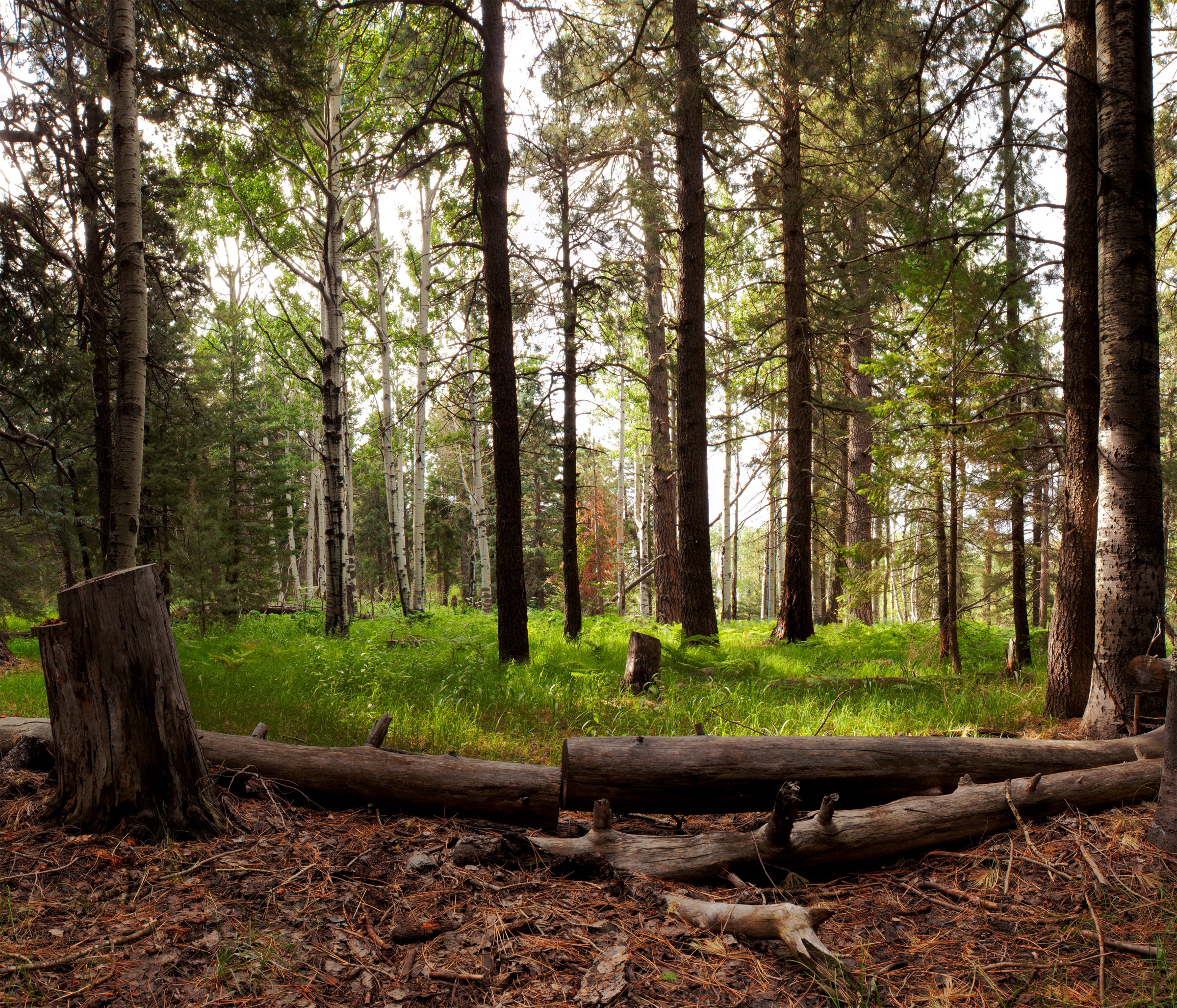
From the Columbine Corrals trailhead opposite the Columbine Visitor Information Station — roughly 46 km up the Swift Trail from US 191 — the route follows the closed FR/Trail #345 through spruce-fir and aspen. The Forest Service lists the trail as one mile (1.6 km) one way to the lookout, gaining a little over 245 m (800 ft) on a steady grade. Just below the summit a spur, also numbered #345, drops 2.7 km north-east to the Ash Creek Trail #307 junction, allowing a longer loop-style day for those with time.
The summit is capped by the Webb Peak fire lookout tower, staffed in fire season, with panoramic views over the Ash Creek drainage, Heliograph Peak, the Sulphur Springs Valley and — on clear days — Mount Wrightson in the Santa Ritas some 130 km to the south-west. The final approach passes through recovering burn from 2017; young aspen has re-established heavily since the Frye Fire, and the trail’s character is now a bright regenerating stand rather than the dark spruce canopy that stood before.
Why it is essential
Webb Peak is the most accessible true summit in the Pinaleños that lies outside the Mount Graham Red Squirrel Refugium. Its staffed fire lookout provides the range’s classic 360-degree sky-island panorama at a distance and effort well within reach of most walkers, and — together with Heliograph and Clark — it is one of only three legally hikeable named peaks in the high country. As the shortest way to stand on a spruce-fir summit in Arizona, it earns its place in any Pinaleño catalogue.
Equipment
- Sturdy boots
- Warm layer even in summer at 3,000 m
- Wind shell for the lookout summit
- 2 L water — no reliable source above Columbine
- Sun protection
Hazards and notes
- Trailhead access depends on the Swift Trail winter gate being open (mid-April to mid-November).
- Afternoon monsoon lightning is a serious hazard at the exposed summit and metal lookout — start early and clear the peak by early afternoon in July and August.
- Burn-area deadfall may block the tread; verify current status with the Safford Ranger District.
- The lookout tower is a working structure; ask before climbing when it is staffed.
- Dogs permitted on-leash — Webb Peak sits outside the red squirrel refugium.
3. Heliograph Peak via the Arcadia NRT and #328A
Snapshot
Itinerary
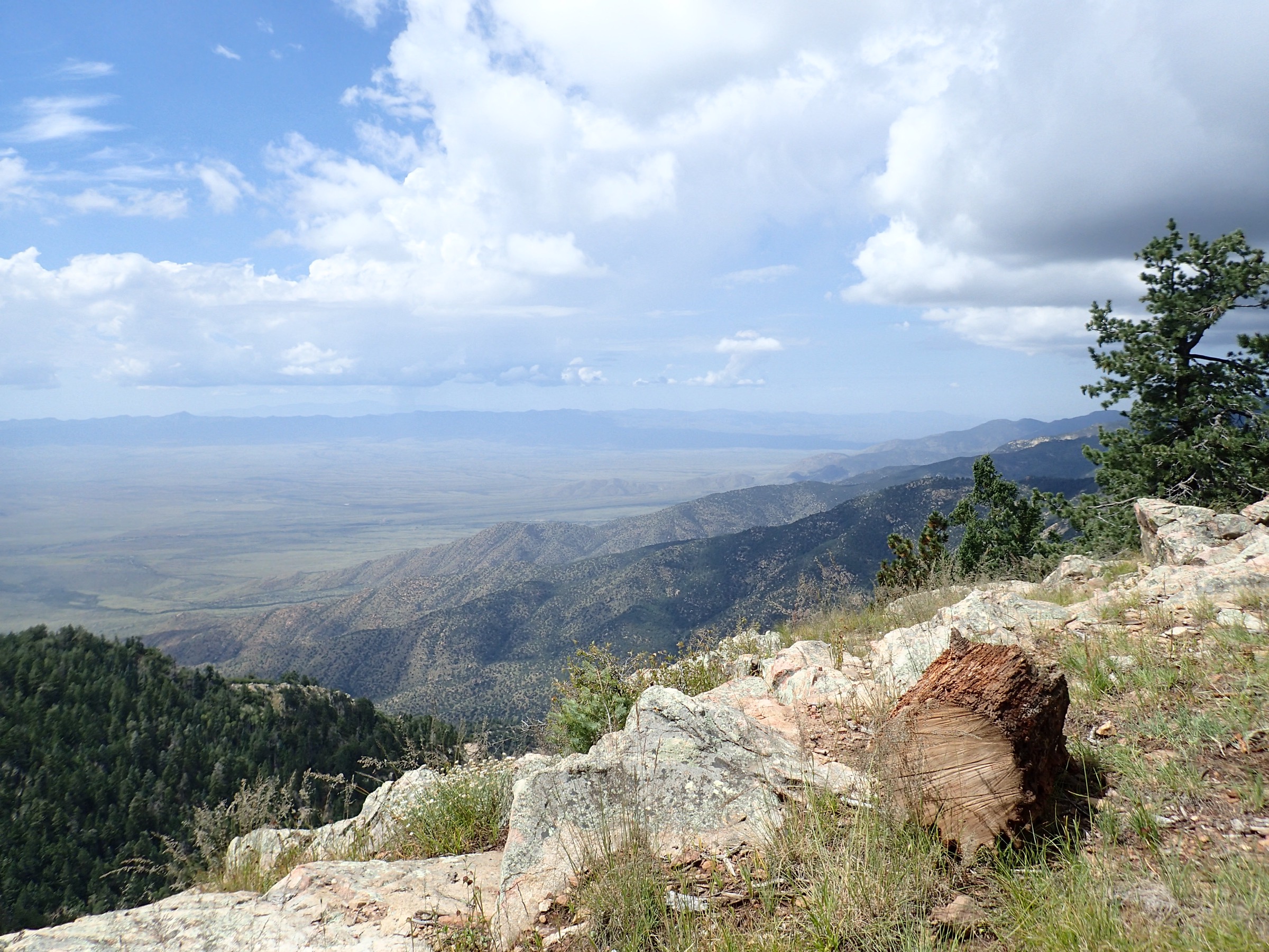
From Shannon Campground — about 35 km (22 mi) up the Swift Trail — the Arcadia National Recreation Trail #328 heads south-east through Douglas-fir, Engelmann spruce and aspen. Roughly 1.6 km in, after a series of switchbacks, Heliograph Trail #328A branches left (east) and climbs a steady ridge to the summit. Aspen has regenerated vigorously through the Frye Fire burn along this segment, and the ridge is often a brighter, greener line than either the Arcadia continuation or the direct fire road.
The peak carries a 30 m (99 ft) steel-framed fire lookout tower — the tallest in the Coronado National Forest — plus a 1933-vintage CCC-built cabin, communication antennas and interpretive signage on the range’s military heliograph history. For a semi-loop, descend the Heliograph service road (FR 328) roughly 3 km north-west back to Shannon; the road is a slog with less shade and heavier burn scarring than the Arcadia approach, and most day-hikers prefer the out-and-back on the Arcadia line. The full Arcadia NRT continues past the #328A junction as a 16.4 km (10.2 mi) one-way route down to Upper Arcadia Campground, losing about 860 m — a strenuous car-shuttle traverse worth flagging but outside this day-hike entry.
Why it is essential
Heliograph Peak is the range’s most historically distinctive hike. The US Army established a heliograph station on the summit in 1889 as part of Lt. Eggleston’s tests of a mirror-signalling network between Fort Grant and Fort Bowie — post-dating but directly derived from the 1886 Geronimo-campaign heliograph system, which briefly linked the Chiricahua, Dragoon and Pinaleño summits by flashes of reflected sunlight. The CCC-built lookout tower and cabin remain, the ascent uses part of the officially designated Arcadia National Recreation Trail, and the peak sits outside the red squirrel refugium and is legally hikeable.
Equipment
- Sturdy boots
- Warm layer and wind shell at the summit
- Sun protection
- 2 L water minimum — no reliable source
- Offline map and GPS — the #328A junction can be easy to miss
Hazards and notes
- Frye Fire burn scarring is heavy along the Heliograph service road and moderate on the upper Arcadia section; expect burned snags and possible deadfall.
- Afternoon monsoon lightning is dangerous on the exposed summit and metal lookout tower — clear the peak by early afternoon from July to early September.
- Trailhead access requires the Swift Trail seasonal gate to be open.
- No permit or fee. The lookout tower is staffed during fire season; do not enter unannounced.
- Dogs permitted on-leash — Heliograph Peak lies outside the refugium.
4. Grant Hill Loop #322
Snapshot
Itinerary
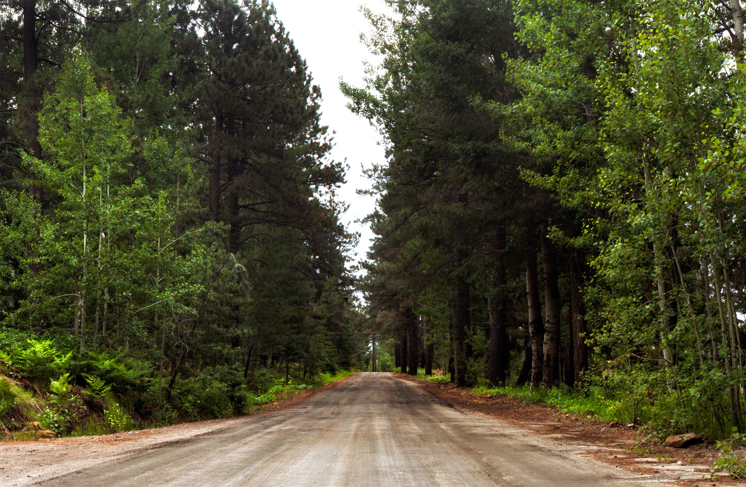
The Grant Hill Loop trailhead sits at approximately 51 km (32 mi) up the Swift Trail from US 191, on the north side of AZ-366. The route stitches together a network of closed logging roads and short connector trails re-purposed for foot and mountain-bike use. Travelled clockwise, it climbs gently through Douglas-fir, white fir, Engelmann spruce and aspen groves interspersed with small meadows, and gains a viewpoint over the Sulphur Springs Valley, Fort Grant and the Galiuro Mountains at the end of the first old logging road. From there it swings around the flank of Grant Hill and drops back to the trailhead. The Cunningham Loop #316 branches off internally and can add or shorten the walk to taste. Aspen colour in late September and early October is the best in the range, and the loop is the one Pinaleño walk consistently recommended for that window.
Why it is essential
Grant Hill is the range’s most representative easy-to-moderate walk through the classic mixed-conifer and aspen belt of a sky island, on a well-graded, well-signed loop that suits a wide range of fitness. It is one of the few Pinaleño trails that survived the Frye Fire relatively intact, and — because it lies within the red squirrel’s broader forested range but outside the refugium boundary — it offers a genuine possibility of glimpsing the endangered Mount Graham red squirrel in habitat where the subspecies is legally observable.
Equipment
- Hiking shoes or light boots
- Warm layer at ~2,700 m
- 2 L water — no reliable source on the loop
- Sun protection
- Optional trekking poles
Hazards and notes
- Trailhead access requires the Swift Trail winter gate to be open (~15 April to ~15 November); early or late snow can extend closures.
- The loop sees mountain-bike use; listen for descending riders.
- Black bears and mountain lions are present — food storage and standard awareness apply.
- Dogs permitted on-leash outside the refugium; the loop stays outside.
- No fee.
5. Riggs Flat Lakeshore Trail #340
Snapshot
Itinerary
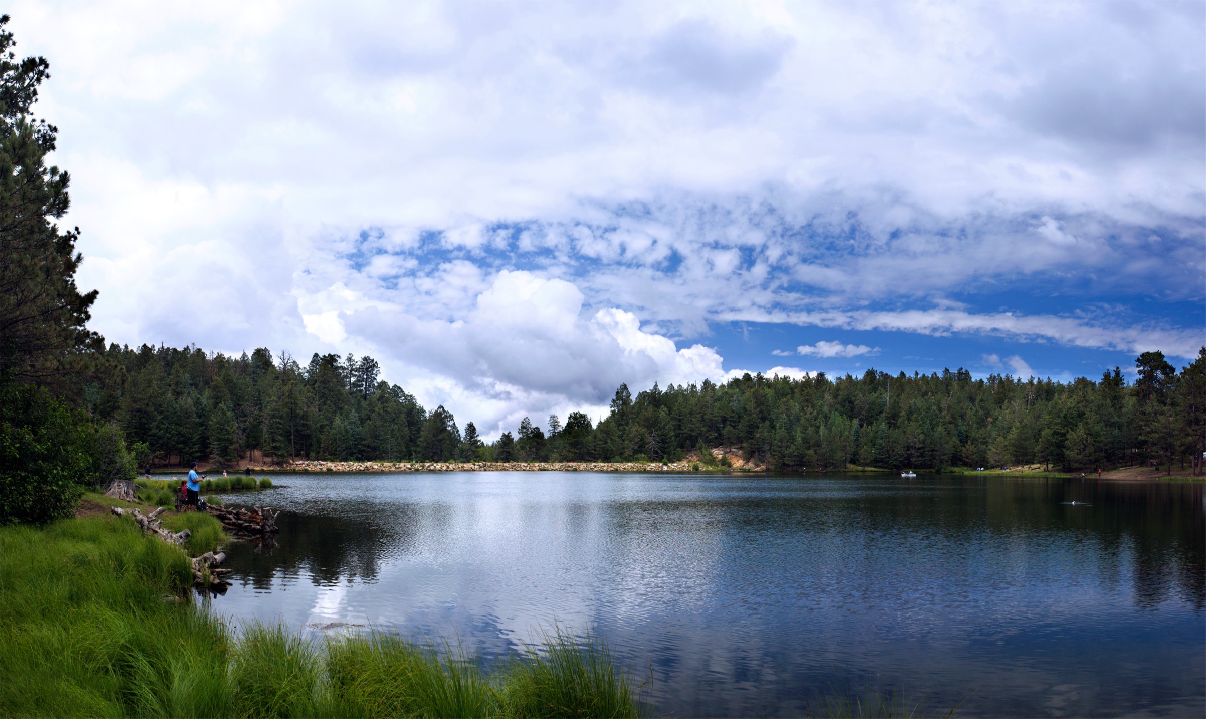
From the Columbine Visitor Information Station, continue past the paved end of the Swift Trail onto FR 803 for about 8 km, then FR 287 for another 3.2 km to Riggs Flat Campground. The Lakeshore Trail #340 begins where the paved campground loop makes a 180-degree turn; a short concrete sidewalk descends to the shore. The path circles the 4.5-hectare (11-acre) lake in mixed conifer and meadow, crossing the earthen dam at the outlet before returning through the campground loop. Fishing platforms and interpretive signage on the lake’s alpine ecology are placed at intervals along the shore.
Why it is essential
Riggs Flat is the only true alpine-style lake in the Pinaleños and the only sky-island lake in south-eastern Arizona. The short loop is the most accessible high-elevation walk in the range, well suited to families, first-time visitors, or a rest day between longer hikes, and it delivers the classic sky-island contrast in its purest form: an open water body sitting in Engelmann spruce a vertical 1,800 m directly above Sonoran desert grassland.
Equipment
- Trainers or light hiking shoes
- Warm layer — mornings and evenings are cold at 2,700 m
- Sun protection
- 1 L water
Hazards and notes
- Access is strictly seasonal — the Swift Trail winter gate typically closes ~15 November and reopens ~15 April (15 November 2025 for the 2025–2026 season).
- A day-use vehicle fee applies at Riggs Flat; the reported figure is US$8 per vehicle, but current amounts should be reconfirmed with the Safford Ranger District.
- Afternoon monsoon lightning and hail from July to early September.
- The campground can be busy on weekends; walk early or in the evening for quiet.
- Dogs permitted on-leash. Fishing is subject to Arizona Game & Fish licence rules.
- Freeze conditions can arrive as early as October at this elevation.
Routes excluded as out of scope
The following sit inside or adjacent to the Pinaleños but fall outside this day-hike entry, are duplicative of the five above, or cannot be legally walked as a hike.
- Round the Mountain Trail #302. Historically one of the range’s great walks and long included in Pinaleño reading lists, but the tread was largely destroyed by the 2017 Frye Fire and has not been rebuilt. Excluded because it is no longer a maintained line.
- Dutch Henry Trail. Post-Frye status is uncertain and the line is only intermittently walkable; unsafe to recommend without a current on-the-ground report from the Safford Ranger District.
- Clark Peak #301. One of the three legally hikeable named peaks in the range, but the practical Wet Canyon approach is long and rough with faint tread, better treated as a backpack than a day-hike.
- Arcadia National Recreation Trail (through-route). The full 16.4 km one-way descent from Shannon to Upper Arcadia is a strong car-shuttle traverse but overlaps the Heliograph Peak entry and is not a comfortable day-hike out-and-back.
- Mount Graham true summit. Closed to hikers above approximately 3,050 m (10,000 ft) as part of the Mount Graham Red Squirrel Refugium. The only legal way to reach the summit is a seasonal guided Mount Graham International Observatory tour, which is not a hike and cannot be booked as one.
Further reading
| Source | URL |
|---|---|
| USFS Coronado NF — Pinaleño Mountains | fs.usda.gov |
| USFS Coronado NF — Swift Trail Parkway (SR 366) | fs.usda.gov |
| ADOT — SR 366 winter closure announcement (2025–2026) | azdot.gov |
| USFS Coronado NF — Ash Creek Trail #307 | fs.usda.gov |
| USFS Coronado NF — Ash Creek Detour Trail #307A | fs.usda.gov |
| USFS Coronado NF — Webb Peak #345 | fs.usda.gov |
| USFS Coronado NF — Arcadia National Recreation Trail #328 | fs.usda.gov |
| USFS Coronado NF — Heliograph #328A | fs.usda.gov |
| USFS Coronado NF — Grant Hill Loop #322 | fs.usda.gov |
| USFS Coronado NF — Riggs Flat Lake | fs.usda.gov |
| Mount Graham International Observatory | mgio.arizona.edu |
| MGIO — Mount Graham red squirrel | mgio.arizona.edu |
| USFWS — Mount Graham red squirrel recovery | fws.gov |
| Discover Southeast Arizona — The Heliograph in the Apache Wars | discoverseaz.com |
| Wikipedia — Pinaleño Mountains | en.wikipedia.org |
| Wikipedia — Mount Graham red squirrel | en.wikipedia.org |
| Wikipedia — Frye Fire | en.wikipedia.org |
| Wikimedia Commons — Mount Graham | commons.wikimedia.org |
| Wikimedia Commons — Pinaleno Mountains | commons.wikimedia.org |
| OpenStreetMap (ODbL 1.0) | openstreetmap.org |