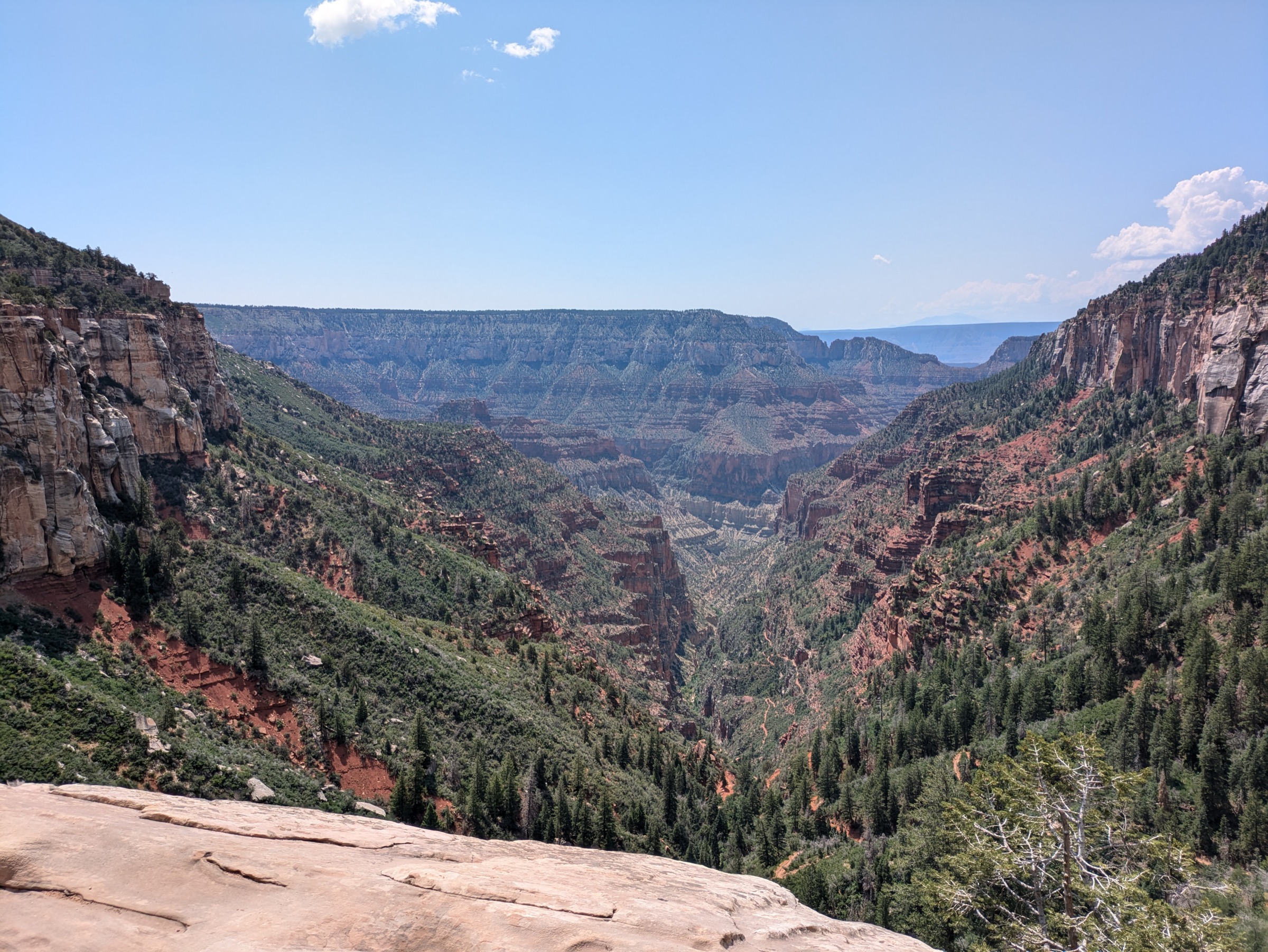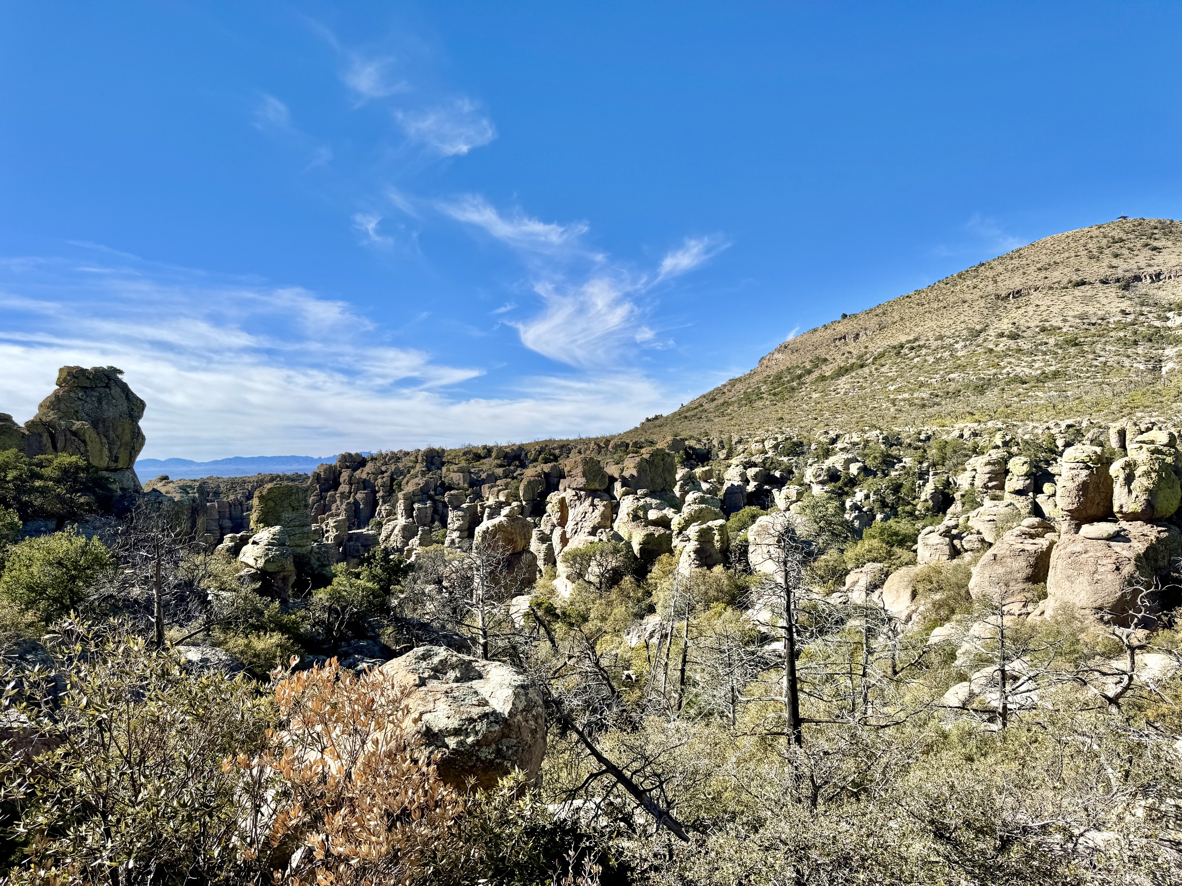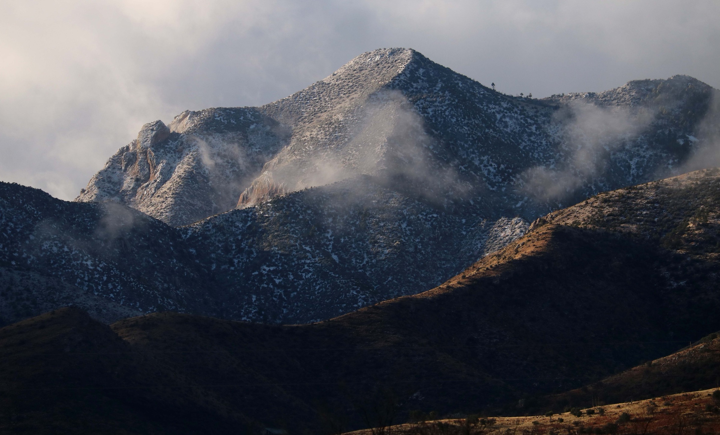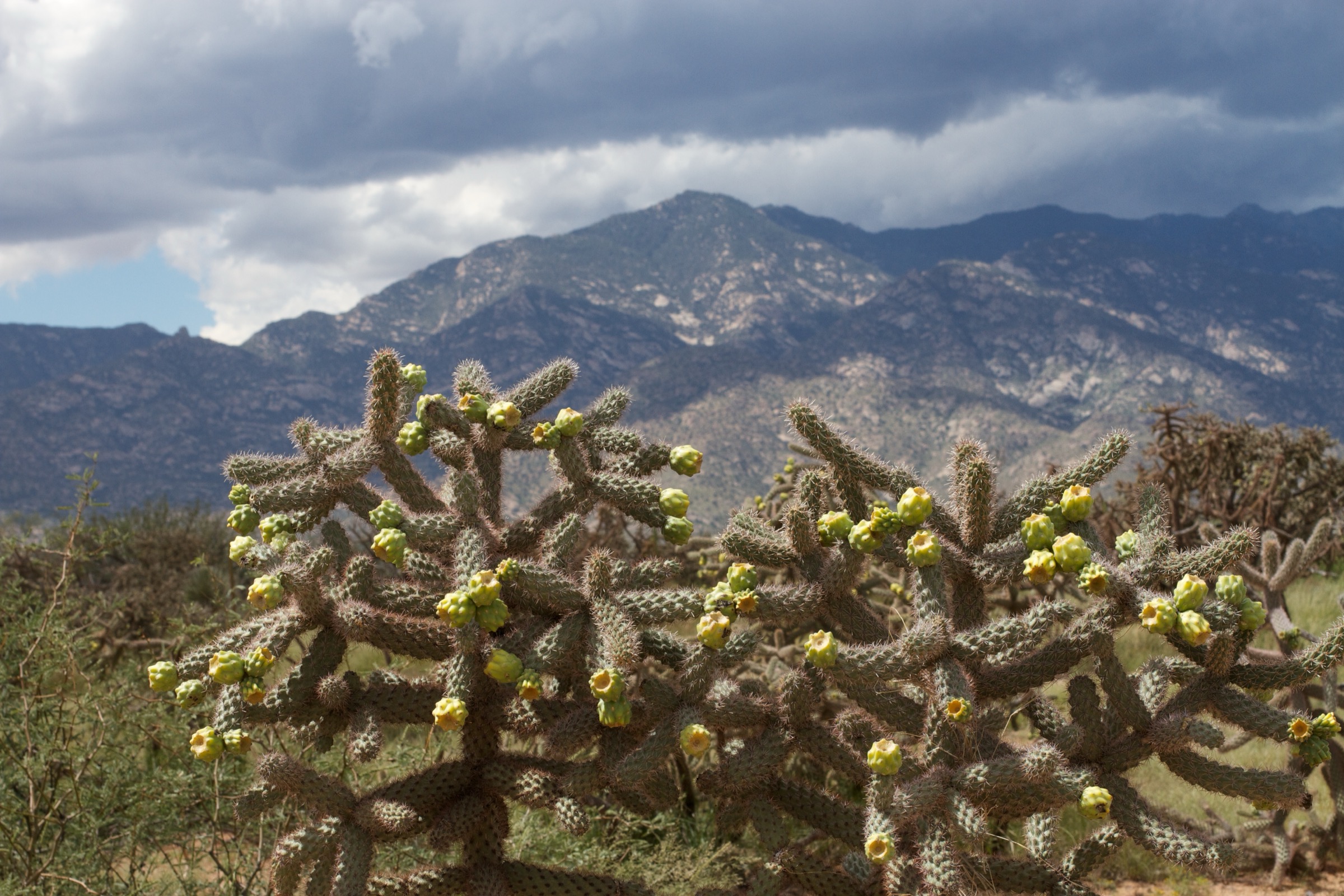
Regional overview
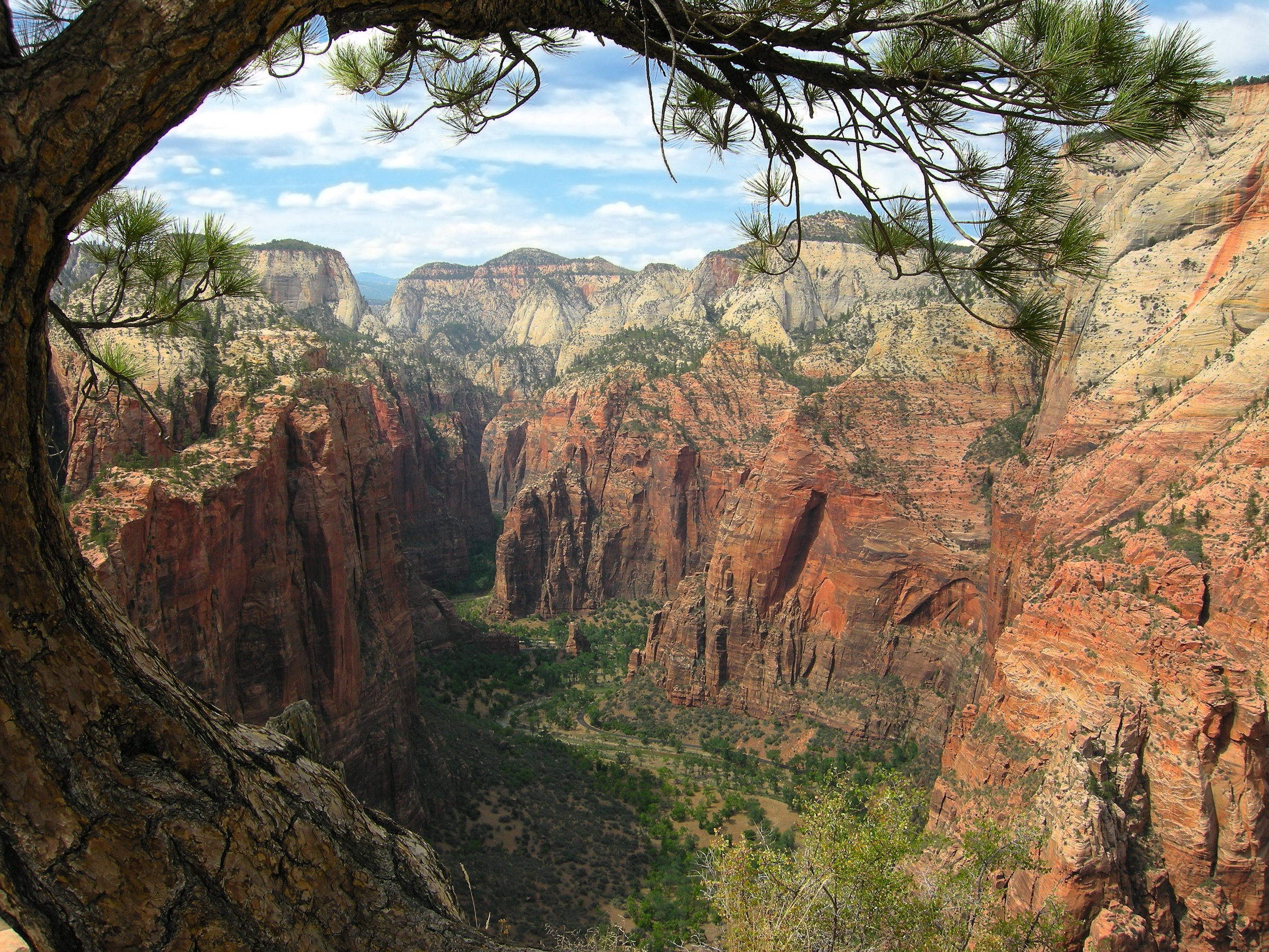
Zion National Park sits on the south-western edge of the Colorado Plateau in south-west Utah — 593 km² of Navajo Sandstone architecture across three operational districts: the developed Zion Canyon on the North Fork of the Virgin River (Springdale entrance from SR-9), the quieter Kolob Canyons in the north-west corner (I-15 exit 40, no road connection to the main canyon), and a small Kolob Terrace middle district reached from Virgin. About 84 per cent of the park is designated Wilderness under the 2009 Omnibus Public Land Management Act.
The park’s dominant geological signature is the Navajo Sandstone, deposited around 180 million years ago in a Jurassic dune field and here forming cliffs up to 670 m thick. Cross-bedded sandstone stained red and orange by iron oxides at the base grades into cream-white at the top, and the classic Zion Canyon architecture — vertical walls above a narrow river corridor — is the product of Colorado Plateau uplift beginning about 80 million years ago that steepened stream gradients and let the Virgin River rapidly cut down to today’s canyon 800 m deep. The Narrows is the same river actively cutting a slot into the sandstone above Temple of Sinawava. Uplift and river cutting continue; rockfalls are frequent and have closed several trails permanently over the past decade.
Elevations span the desert-to-forest gradient in a small footprint. The lowest point at Coal Pits Wash sits at 1,117 m / 3,666 ft; the Zion Canyon floor is at 1,220–1,400 m; the East Rim, West Rim and Observation Point sit at 1,980–2,150 m; and the park high point Horse Ranch Mountain in Kolob Canyons rises to 2,662 m / 8,733 ft. That relief supports four documented life zones — desert, riparian, woodland and coniferous forest — and the park’s position at the intersection of the Colorado Plateau, Great Basin and Mojave Desert biotas gives it more than 1,000 recorded plant species and 289 bird species.
The two rims of Zion Canyon are managed through a mandatory shuttle system for most of the year: from 7 March to 28 November 2026 and again 26 December 2026 to 2 January 2027, private vehicles are banned from Zion Canyon Scenic Drive and the free NPS shuttle carries visitors between nine numbered stops from the Visitor Center to Temple of Sinawava. Between 29 November and 25 December private vehicles are again permitted up the canyon. Kolob Canyons and Kolob Terrace are car-access districts with no shuttle. Kolob Terrace Road closes each winter; Kolob Canyons Road may close briefly for snow.
Two of Zion’s most famous trails carry ongoing planning constraints. Angels Landing has required a permit at all hours since 1 April 2022 for any travel past Scout Lookout onto the chained ridge — a lottery on recreation.gov with a seasonal and a day-before track. The Narrows is closed to hikers when Virgin River flow exceeds 150 cfs or a Flash Flood Warning is posted; the bottom-up day-hike up to Big Spring does not require a permit, but any top-down or overnight travel does. Two long-standing closures also shape the route selection: Hidden Canyon has been closed since 2018, and the classic East Rim / Weeping Rock route to Observation Point has been closed since a 2019 rockfall with no reopening planned. An advisory for cyanobacteria in the North Fork of the Virgin River remains active — do not drink untreated river water and avoid submerging your head.
Best hiking season depends on the route. Spring (March–May) is pleasant but snowmelt often keeps the Narrows closed into June. Summer brings 35–40 °C canyon-floor heat, peak crowds and mid-July-to-September monsoon flash-flood risk in the slots. Autumn (mid-September to late October) is the classic best window — mild temperatures, low river flow, fall colour. Winter is the quietest season, with private-car access to Zion Canyon in the closure window, but with snow and ice on the East Rim, West Rim and Kolob Canyons.
Selection rationale
The five day-hikes below span the two accessible districts and the four characteristic Zion experiences — the exposed sandstone-fin ridge (Angels Landing), the in-river slot (the Narrows), the high rim view (Observation Point via East Mesa) and the finger-canyon creek walk (Taylor Creek to Double Arch Alcove) — with a short east-side viewpoint (Canyon Overlook Trail) added to capture the Zion–Mount Carmel corridor. Two are strenuous with heavy planning constraints — Angels Landing requires the recreation.gov lottery and the Narrows requires a live check of river flow — and three are moderate. The selection deliberately favours the Kolob Canyons and East Mesa alternatives over duplicating three trails inside the main shuttle corridor, and avoids permanently closed routes (Weeping Rock East Rim, Hidden Canyon).
Routes excluded as out of scope are discussed at the end of the article.
Summary table
| # | Hike | Country | Route type | Distance | Gain | Max elevation | Difficulty |
|---|---|---|---|---|---|---|---|
| 1 | Angels Landing via West Rim Trail | USA | Out-and-back | ~7.7 km RT | ~532 m | ~1,765 m | Strenuous / exposed |
| 2 | The Narrows bottom-up to Big Spring | USA | Out-and-back (in-river) | ~15 km RT | ~266 m | ~1,450 m | Moderate–strenuous |
| 3 | Observation Point via East Mesa Trail | USA | Out-and-back | ~11.3 km RT | ~215 m | ~2,070 m | Moderate |
| 4 | Canyon Overlook Trail | USA | Out-and-back | 1.6 km RT | 47 m | ~1,600 m | Moderate |
| 5 | Taylor Creek Trail to Double Arch Alcove | USA | Out-and-back | 8.6 km RT | 243 m | ~1,814 m | Moderate |
1. Angels Landing via West Rim Trail
Snapshot
Itinerary
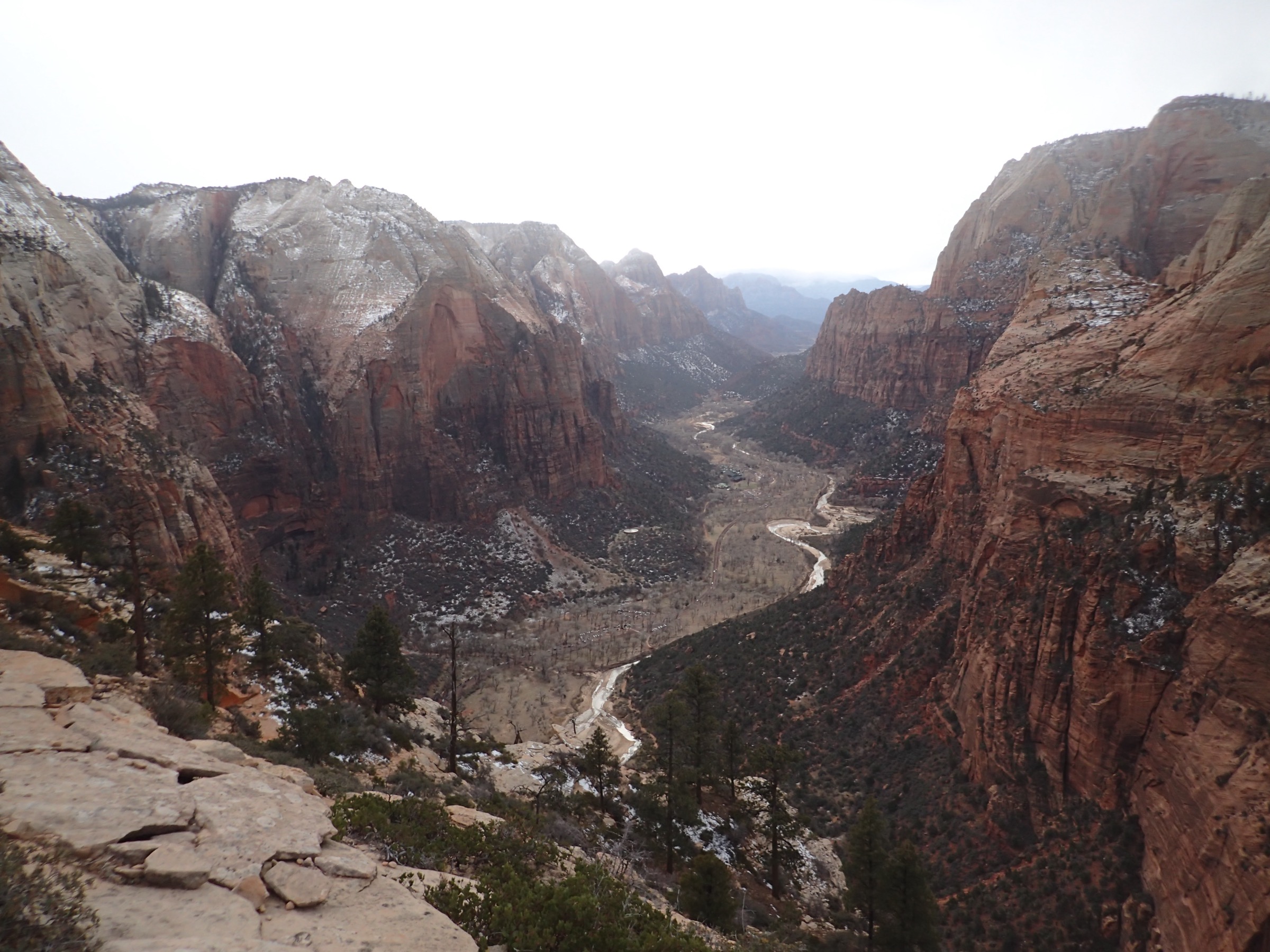
From The Grotto, cross the Virgin River footbridge and turn right onto the paved West Rim Trail. The trail contours gently past cottonwoods at the base of Cathedral Mountain before angling into a set of open switchbacks up sunny slickrock, gaining the shaded corridor of Refrigerator Canyon at about 1.6 km. The canyon offers a welcome reprieve before the 21 tight paved switchbacks of Walter’s Wiggles — engineered in 1926 — lift the trail to the exposed shelf of Scout Lookout at 3.0 km. This is the natural turnaround for anyone without an Angels Landing permit and the reason NPS is careful to distinguish it from Angels Landing itself.
From Scout Lookout the West Rim Trail continues left toward Cabin Spring and the West Rim; the Angels Landing spur breaks right along a narrow sandstone spine. The next 0.8 km is the famous chained section: a sequence of scrambles over sandstone humps with drops of nearly 300 m to either side and heavy anchor chains bolted along the exposed edges. Uphill traffic etiquette applies — one direction at a time through the narrow pinches, and clip a hand on the chain wherever possible. The ridge opens onto the summit table at ~1,765 m, a broad Navajo Sandstone slab with 360-degree views straight down Zion Canyon to the Court of the Patriarchs and up-canyon toward the Great White Throne and Observation Point. Descent reverses the route and typically takes as long as the ascent because of two-way flow on the ridge.
Why it is essential
Angels Landing is the emblem of Zion — an aerial view of the Navajo Sandstone architecture from a fin that has stood at the head of the canyon since the last Ice Age, and the definitive Colorado Plateau ridge scramble. Even without a summit permit, Scout Lookout is a superb ridge-top destination in its own right and delivers most of the day’s gain.
Equipment
- Sturdy mountain hiking boots with sticky rubber; a poor grip on sandstone is the leading cause of falls
- Trekking poles for the switchbacks (stow before the chains)
- 2.5–3 L water — nothing on the trail; refill at The Grotto only
- Gloves are useful on the chains in cold weather
- Sun hat, high-SPF sun protection and warm layer for the rim
- Offline map, GPS and headtorch
- Angels Landing permit printout / on-device confirmation from recreation.gov
Hazards and notes
- The Angels Landing permit is mandatory past Scout Lookout at all hours; rangers check on the ridge.
- Ice on the chains in winter and early spring is dangerous and has caused fatalities; the route is not recommended when snow is present on the ridge.
- Two-way traffic on the chained ridge slows progress; plan a full day and start early.
- Storms and lightning drive rapid retreats — leave the ridge at the first thunder.
- Dogs are not allowed anywhere on this trail.
GPX / route file
| Source | URL | Format | Notes |
|---|---|---|---|
| NPS — Hike Angels Landing | nps.gov | Web page | Official permit, access and hazard details |
| NPS — Hike to Scout Lookout | nps.gov | Web page | Official approach details |
| AllTrails — Angels Landing Trail | alltrails.com | Source map | Full round-trip distance and gain; reuse terms unresolved |
Sources
2. The Narrows bottom-up to Big Spring
Snapshot
Itinerary
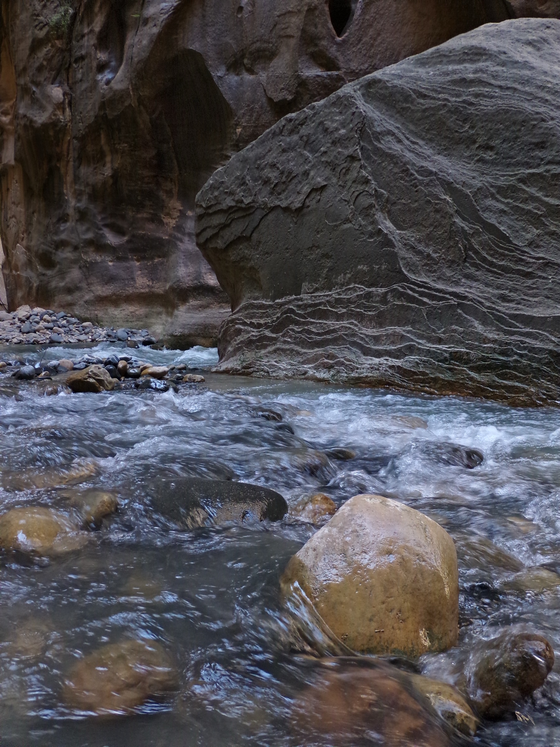
From Temple of Sinawava, follow the paved Riverside Walk 1.6 km along the North Fork of the Virgin River as the canyon walls close in — a superb warm-up in itself, with hanging gardens seeping from the sandstone. At the end of the pavement the maintained trail ends; step into the river and the hike properly begins. Wade upstream against a moderate current, following the deepest side of each meander to find the flattest cobble beds. Rented neoprene socks, canyoneering shoes and a sturdy walking stick from an outfitter in Springdale make the difference between an enjoyable day and a bruised one.
About 2 km above the paved trail the canyon narrows dramatically. Another ~2 km up you reach the Orderville Canyon confluence on the right (only the first 400 m of Orderville can be entered without a wilderness permit); step past it and enter Wall Street — a mile-long slot where the river fills a corridor of sheer 500-metre walls in glowing red and cream. Strong parties continue through pools and small cascades to Big Spring, a lush emergence of clear water pouring from the base of the canyon and the boundary of day-hike travel (beyond this point a wilderness permit is required). Return the same way; downstream is faster but requires care on submerged boulders.
Why it is essential
The Narrows is the defining slot canyon of the American Southwest — the Colorado Plateau’s most intimate encounter with cross-bedded Navajo Sandstone, walked from within the water that carved it. The bottom-up day-hike is one of the few great slot experiences accessible without a technical permit.
Equipment
- Canyoneering shoes, neoprene socks and a walking stick — rented in Springdale (multiple outfitters)
- Dry bag for camera, keys and warm layers
- 2–3 L drinking water; do not drink or filter river water in 2026 due to the cyanobacteria advisory
- Warm insulating layer for post-hike (water is cold even in summer)
- High-SPF sun protection for exposed river stretches
- Trekking pole or wooden stick — third point of contact on slippery cobbles
Hazards and notes
- Flash floods are the leading hazard: the river can rise 10–15 ft in minutes. NPS closes the route when flow exceeds 150 cfs or a Flash Flood Warning is posted; check nps.gov the morning of the hike and reassess if any thunderstorm shows on the forecast.
- Hypothermia — water rarely exceeds 18 °C even in summer; a body immersion in a pool can chill quickly.
- Cyanobacteria advisory: do not drink, filter or submerge your head in river water.
- Slippery cobbles make sturdy footwear and a stick essential; expect bruises and lost balance.
- No permit needed for day travel up to Big Spring; beyond Big Spring or overnight requires a Zion Wilderness Permit.
- Dogs are not allowed anywhere on this trail.
- Snowmelt often keeps the Narrows closed into May and early June — plan around it.
GPX / route file
| Source | URL | Format | Notes |
|---|---|---|---|
| NPS — The Narrows | nps.gov | Web page | Official route rules and hazards |
| NPS — Current conditions | nps.gov | Web page | Live flow and closure status |
| AllTrails — Narrows to Imlay Temple and Big Spring | alltrails.com | Source map | Full round-trip distance and gain; reuse terms unresolved |
Sources
3. Observation Point via East Mesa Trail
Snapshot
Itinerary
The route uses a private-land approach because the historic climb from Weeping Rock has been closed since 2019 and is not planned to reopen. From SR-9 about 2.7 km east of the park’s east boundary, turn north onto North Fork Road, drive to a signed dirt-road turnoff near Zion Ponderosa Ranch, and follow it to the small East Mesa parking area at approximately 2,070 m. Note that AllTrails and other trail-report sources indicate 4WD may be required on the access track and warn against parking outside marked boundaries.
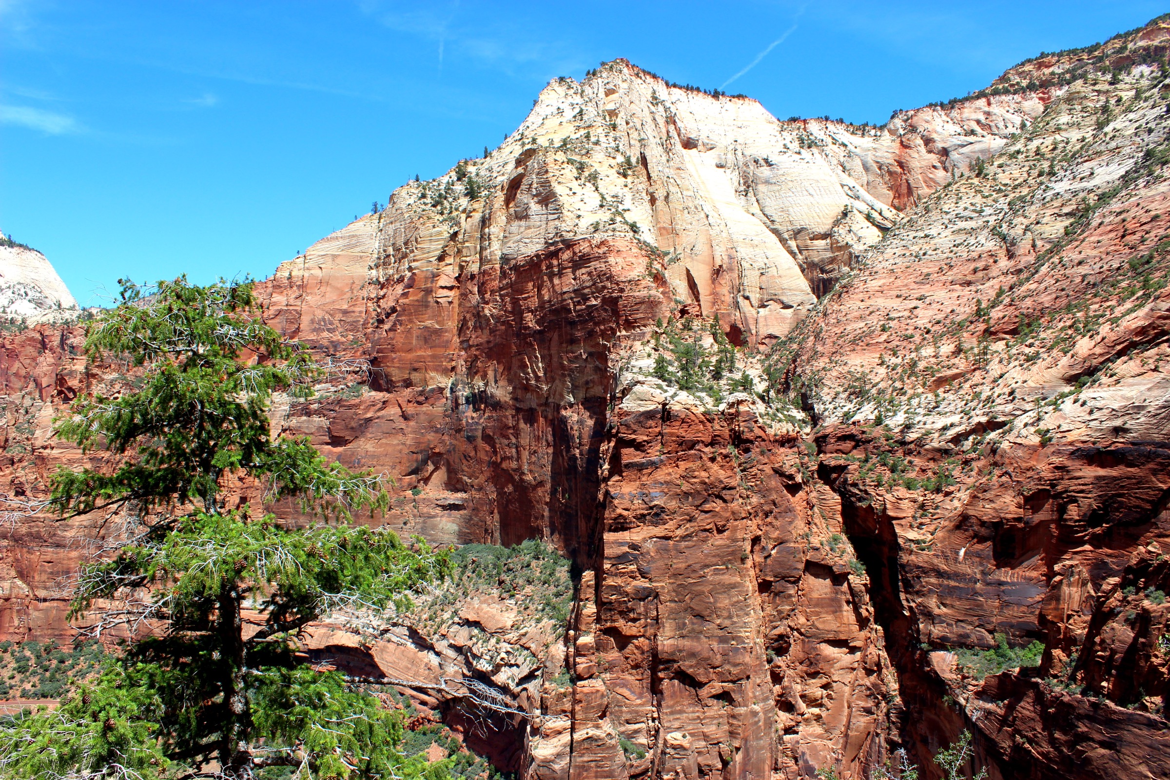
The trail leaves the mesa top through open ponderosa pine and Gambel oak, contouring gently west across a plateau. After about 4 km you meet the old East Rim Trail at a junction on the rim; take the left branch signed for Observation Point. A short spur descends to the viewpoint — a jutting slab of white Navajo Sandstone directly above Angels Landing, staring straight down Zion Canyon to the Court of the Patriarchs, and up-canyon into the Narrows corridor. This is one of the great high views of the Colorado Plateau. Return by the same route.
Why it is essential
The best aerial view in Zion — you look down onto Angels Landing itself. The East Mesa approach turns what was a 655 m grind from Weeping Rock into a manageable rim walk suitable for a much wider range of hikers, and is the only currently available way to reach the viewpoint.
Equipment
- Sturdy trail shoes; poles helpful but not essential
- 2 L water — nothing on trail or at the trailhead; fill up in Springdale
- Sun protection and a wide-brim hat for the mesa
- Warm layer for the exposed rim
- Offline map, GPS and headtorch
- Full fuel and a spare tire — the dirt access road is remote and unreliable in wet conditions
Hazards and notes
- Exposed cliff edge at the viewpoint — a ~600 m sheer drop into Zion Canyon; there is no railing. Keep children close and stay well back from the edge.
- The dirt access road is rutted; high-clearance is recommended and 4WD is useful in wet conditions.
- No cellular coverage on the mesa; leave an itinerary before setting out.
- Trailhead parking is limited and can fill by mid-morning on peak-season weekends.
- Dogs are not allowed inside the park boundary; the East Mesa approach reaches the boundary within a few hundred metres.
- The classic Weeping Rock / Echo Canyon route to Observation Point remains closed indefinitely — do not attempt it.
GPX / route file
| Source | URL | Format | Notes |
|---|---|---|---|
| NPS — Current conditions / closure | nps.gov | Web page | Confirms Weeping Rock / East Rim closure |
| AllTrails — East Mesa Trail to Observation Point | alltrails.com | Source map | Distance and gain; reuse terms unresolved |
Sources
4. Canyon Overlook Trail
Snapshot
Itinerary
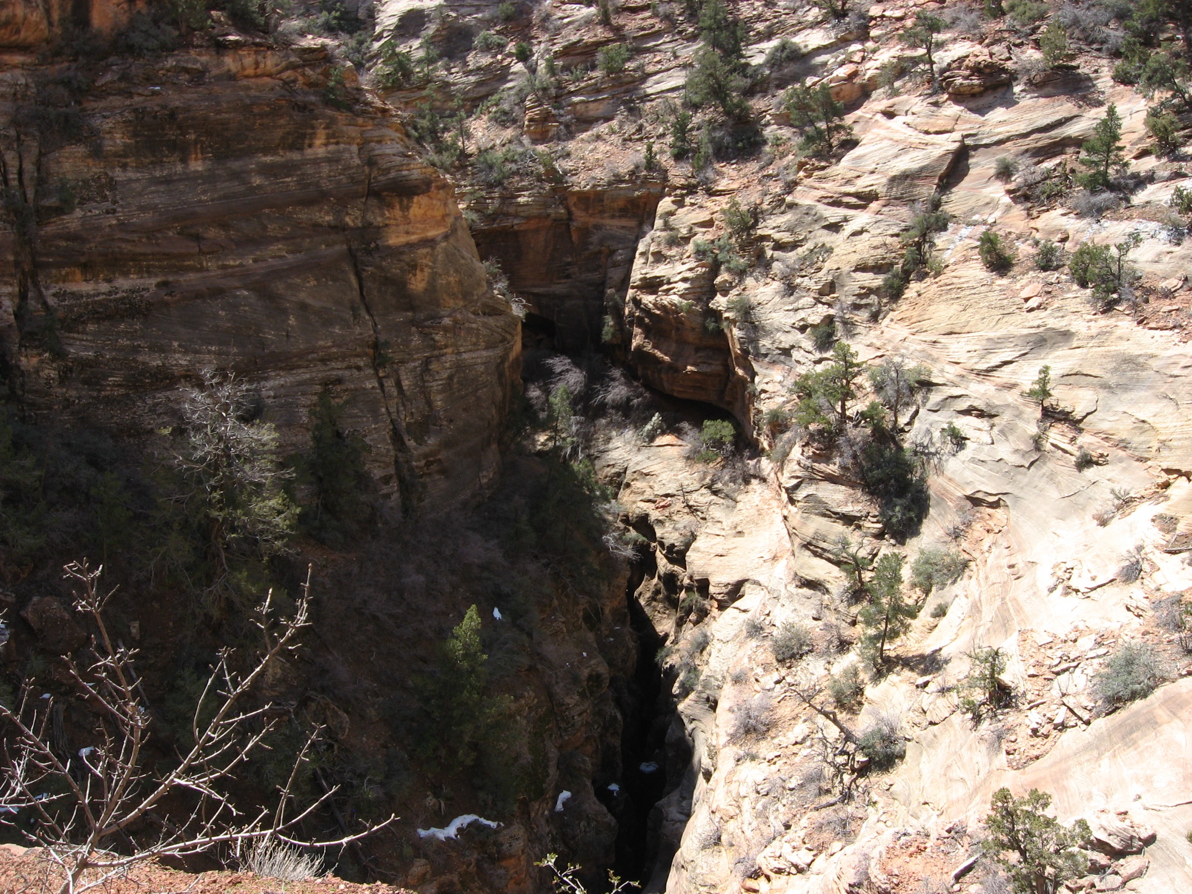
Just east of the Zion–Mount Carmel Tunnel, a small paved pull-out on the north side of SR-9 marks the Canyon Overlook trailhead. The tread climbs sandstone steps and constructed shelves above Pine Creek Canyon, passing under short overhangs and along fenced traverses. The route is short but full-value — a compact showcase of NPS trail engineering across slickrock. It ends at a fenced viewpoint with a wide look down lower Zion Canyon toward the Towers of the Virgin and the West Temple massif. Return by the same route.
Why it is essential
Canyon Overlook is the shortest headline hike in Zion — a high-value east-side viewpoint reached by one of the park’s finest short-course constructed trails. It captures the Zion–Mount Carmel side of the park that the shuttle system never touches and rewards a modest 1.6 km of walking with a Zion Canyon view many long hikes cannot match.
Equipment
- Sturdy trail shoes or approach shoes with grippy soles for the rocky steps
- 1 L water
- Sun protection
- Light rain shell during monsoon afternoons
- Headtorch if attempting the trail near dusk for sunset
Hazards and notes
- Long drop-offs either side of the trail — mostly but not entirely fenced. Keep children close and stay on tread.
- The constructed rock trail is uneven; NPS notes a minimum tread width of 30.5 cm (12 in) in its accessibility assessment.
- Parking is extremely limited — the small pull-out fills quickly, and the tunnel restricts oversized vehicles; consider alternative timing.
- Snow, ice or rockfall can affect the Zion–Mount Carmel Highway; check conditions.
- Dogs are not allowed anywhere on this trail.
GPX / route file
| Source | URL | Format | Notes |
|---|---|---|---|
| NPS — Hike Canyon Overlook | nps.gov | Web page | Official distance, gain and time |
| AllTrails — Canyon Overlook Trail | alltrails.com | Source map | Secondary route; reuse terms unresolved |
Sources
5. Taylor Creek Trail to Double Arch Alcove
Snapshot
Itinerary
From the trailhead lot at 1,707 m, the trail drops through pinyon and juniper into the shaded bottom of Taylor Creek’s Middle Fork. The walk is a rhythm of small stream crossings between rust-and-cream sandstone walls that steadily draw closer. About 1 km in you pass the Larsen Cabin, a 1930 homesteader’s cabin left by the family who once ran cattle here. A further kilometre brings you to the Fife Cabin — another well-preserved 1930s structure — and just beyond it the trail passes between the sheer buttresses of Tucupit Point on the north and Paria Point on the south, each rising some 500 m above the creek.
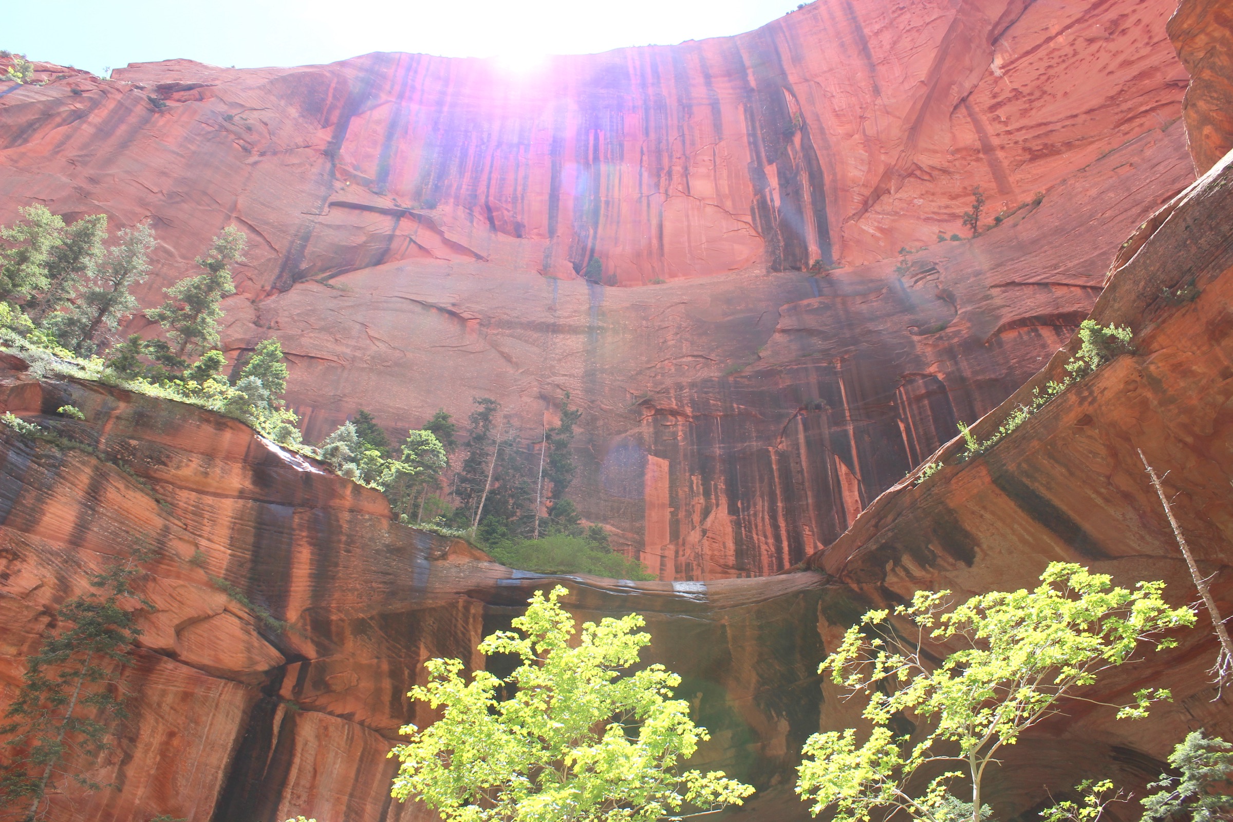
The canyon narrows to a corridor of shattered boulders and hanging gardens fed by seep springs. At 4.3 km the maintained trail ends in the enormous Double Arch Alcove — a stacked-cave hollow eroded into the base of the Navajo Sandstone. The upper “arch” is a shallow blind alcove; the lower is a curving amphitheatre streaked black and red-brown by mineral-laden water. In spring, moss and columbine drape the walls. Return by the same route.
Why it is essential
The most representative day-hike in Kolob Canyons — an intimate creek walk through the crimson “finger canyons” that give this district its identity, ending at one of the finest sandstone alcoves in the park with only a fraction of the main-canyon crowds. It is the natural pairing with any Zion Canyon trip that has a day to spare.
Equipment
- Sturdy waterproof hiking boots or trail-runners you don’t mind getting wet
- Trekking poles for the stream crossings
- 2 L water filled at Kolob Canyons Visitor Center; Taylor Creek requires treatment if used
- Sun protection and warm layer for the alcove (deep shade is cool even in summer)
- Insect repellent in warmer months
- Offline map and GPS
- Waste pack-out supplies if needed
Hazards and notes
- Frequent stream crossings on slippery stones cause most of the falls on this trail; poles help.
- Flash flood risk during monsoon — do not enter the canyon if thunderstorms are forecast anywhere in the drainage.
- Icy winter tread; the Kolob Canyons Road can close briefly.
- Day hikes require no permit; overnight camping requires a Zion Wilderness Permit, which is not sold at the Kolob Canyons Visitor Center — obtain in advance on recreation.gov or at the Zion Canyon Visitor Center Wilderness Desk.
- Wilderness group limit of 12 people sharing the same affiliation; no pets.
GPX / route file
| Source | URL | Format | Notes |
|---|---|---|---|
| NPS — Taylor Creek Trail | nps.gov | Web page | Official distance, gain/loss, time and hazards |
Sources
Routes excluded as out of scope
The following sit inside or adjacent to Zion National Park but fall outside a day-hike entry, are permanently closed, or require dedicated technical planning.
- Angels Landing without a permit past Scout Lookout. Not a legal option. Scout Lookout itself is a fine short-day objective — reached under the itinerary above.
- East Rim / Observation Point via Weeping Rock and Echo Canyon. Closed since 2019 rockfall — no reopening planned. The East Mesa Trail (Hike 3 above) is the current route.
- Hidden Canyon Trail. Closed since 2018 and remains closed.
- The Narrows top-down (Chamberlain’s Ranch to Temple of Sinawava). A 25 km one-way through-hike requiring a monthly-lottery wilderness permit; usually done in a long day or overnight, and outside the “no-permit day-hike” scope of this guide.
- The Subway (Kolob Terrace). A wilderness-permit slot-canyon route on Kolob Terrace Road; part hike, part canyoneering swim; outside the scope of a maintained-trail day-hike catalogue.
- La Verkin Creek Trail to Kolob Arch. A superb non-technical route to the world’s second-largest natural arch, but at 24 km RT and typically done overnight from a wilderness campsite, better treated as a backpack.
- West Rim Trail through-hike from Lava Point to The Grotto. 26 km one-way with a car shuttle; a great long day but outside the scope of this catalogue.
- Emerald Pools loop via Kayenta Trail. A short, popular Zion Canyon walk with hanging gardens and waterfalls; excellent as a family or short-afternoon add-on but excluded here in favour of the Zion–Mount Carmel side (Canyon Overlook).
Further reading
| Source | URL |
|---|---|
| NPS Zion — Planning Guide | nps.gov |
| NPS Zion — Current Conditions | nps.gov |
| NPS Zion — Zion Canyon Shuttle System | nps.gov |
| NPS Zion — Angels Landing hiking permits | nps.gov |
| NPS Zion — The Narrows | nps.gov |
| NPS Zion — Narrows bottom-up | nps.gov |
| NPS Zion — Flash Floods | nps.gov |
| NPS Zion — East Rim wilderness trails | nps.gov |
| NPS Zion — Kolob Canyons | nps.gov |
| NPS Zion — Kolob Canyons wilderness trails | nps.gov |
| NPS Zion — Wilderness overview | nps.gov |
| NPS Zion — Pets | nps.gov |
| Recreation.gov — Angels Landing lottery | recreation.gov |
| Recreation.gov — Zion Wilderness Permits | recreation.gov |
| Storm — Grand Canyon / Kaibab Plateau | /guidebooks/usa-colorado-plateau-grand-canyon-kaibab-plateau-essential-day-hikes |
| Storm — Chiricahua Mountains, Arizona Sky Islands | /guidebooks/usa-southwest-mountains-and-sky-islands-arizona-sky-islands-chiricahua-mountains-essential-day-hikes |
| Storm — Franklin Mountains, West Texas | /guidebooks/usa-southwest-mountains-and-sky-islands-west-texas-mountains-franklin-mountains-essential-day-hikes |
| Wikipedia — Zion National Park | en.wikipedia.org |
| Wikipedia — Geology of the Zion and Kolob canyons area | en.wikipedia.org |
| Wikipedia — Angels Landing | en.wikipedia.org |
| Wikipedia — Horse Ranch Mountain | en.wikipedia.org |
| Wikimedia Commons — Zion National Park | commons.wikimedia.org |
| OpenStreetMap (ODbL 1.0) | openstreetmap.org |
Missing data / follow-up work
- AllTrails reuse terms for the source maps referenced above are unresolved; the geometry is useful for planning but direct republication should be treated cautiously until terms are confirmed.
- NPS does not publish a full-route elevation-gain figure for the Narrows bottom-up; the ~266 m figure above is drawn from an AllTrails secondary source and should be replaced with a GIS-measured value.
- Maximum-elevation values for the Narrows (Big Spring), Canyon Overlook, Taylor Creek (Double Arch Alcove) and East Mesa are not officially published by NPS; the values given are approximations from route context and should be confirmed against NPS or a resolved GIS source.
- No downloadable NPS-endorsed GPX or KML was located for the Taylor Creek Trail; a GIS-derived track should be added on a subsequent pass.
- Current NPS closures — including any change of status for the East Rim / Weeping Rock route to Observation Point and Hidden Canyon — should be rechecked immediately before travel.
- The Angels Landing permit lottery windows and any operational closures for maintenance are updated seasonally; verify the current recreation.gov schedule before travel.