Regional overview
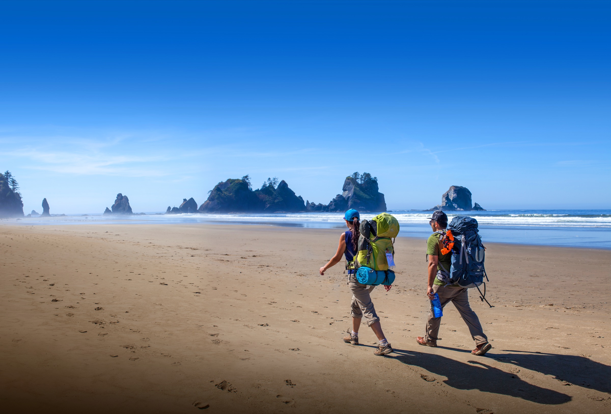
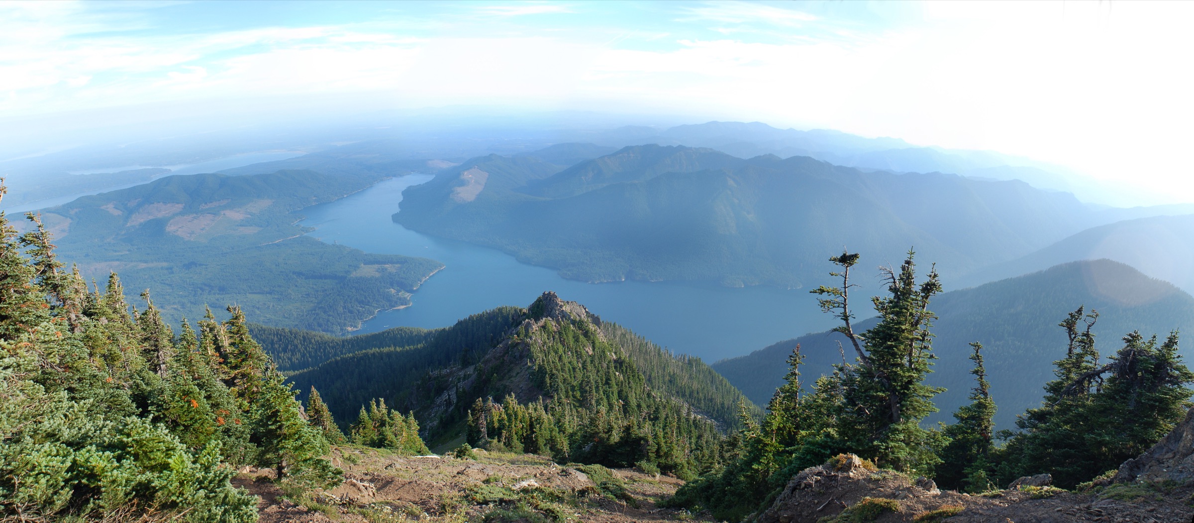
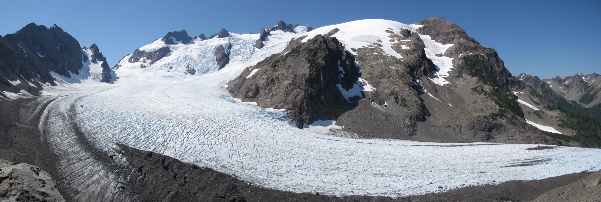
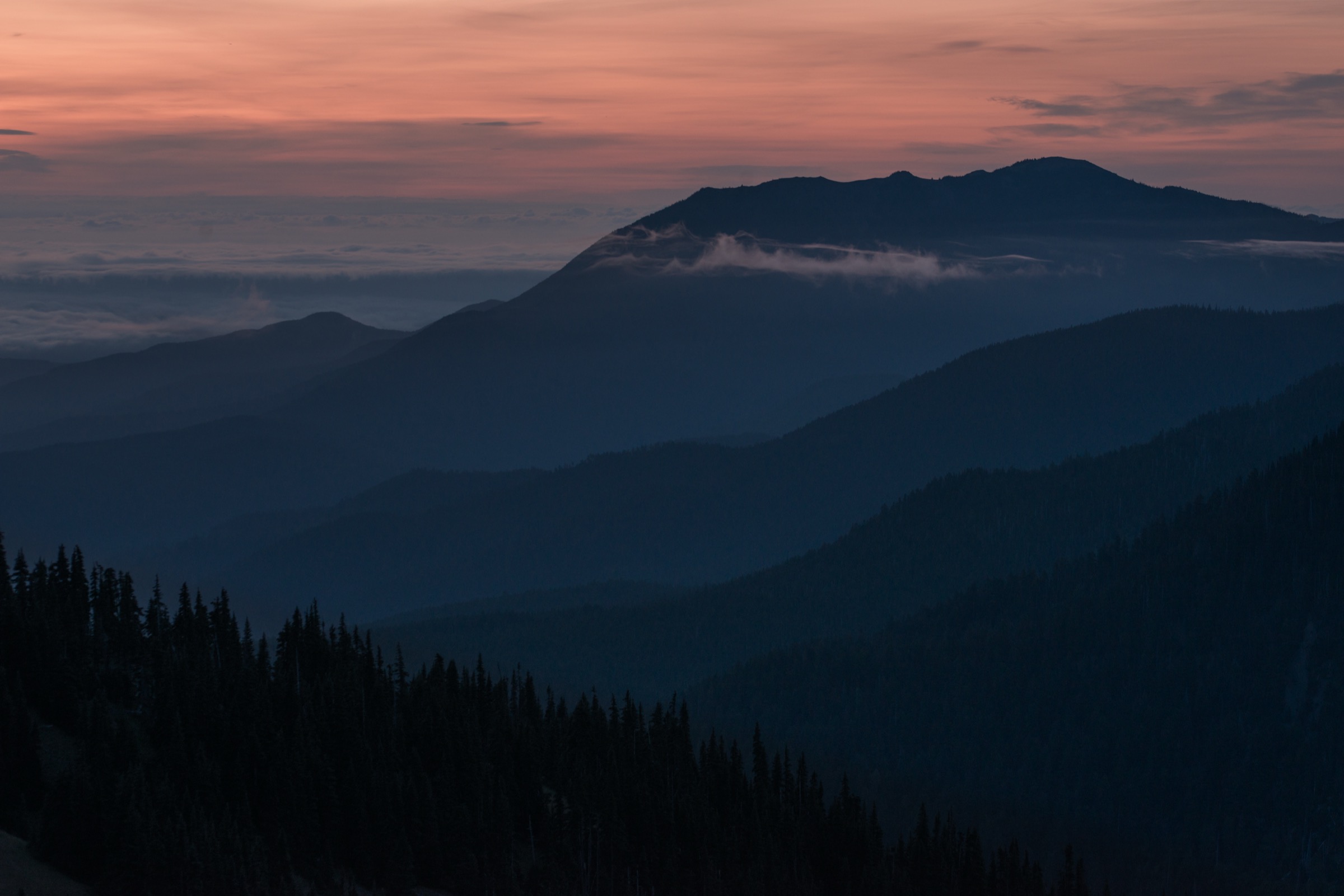
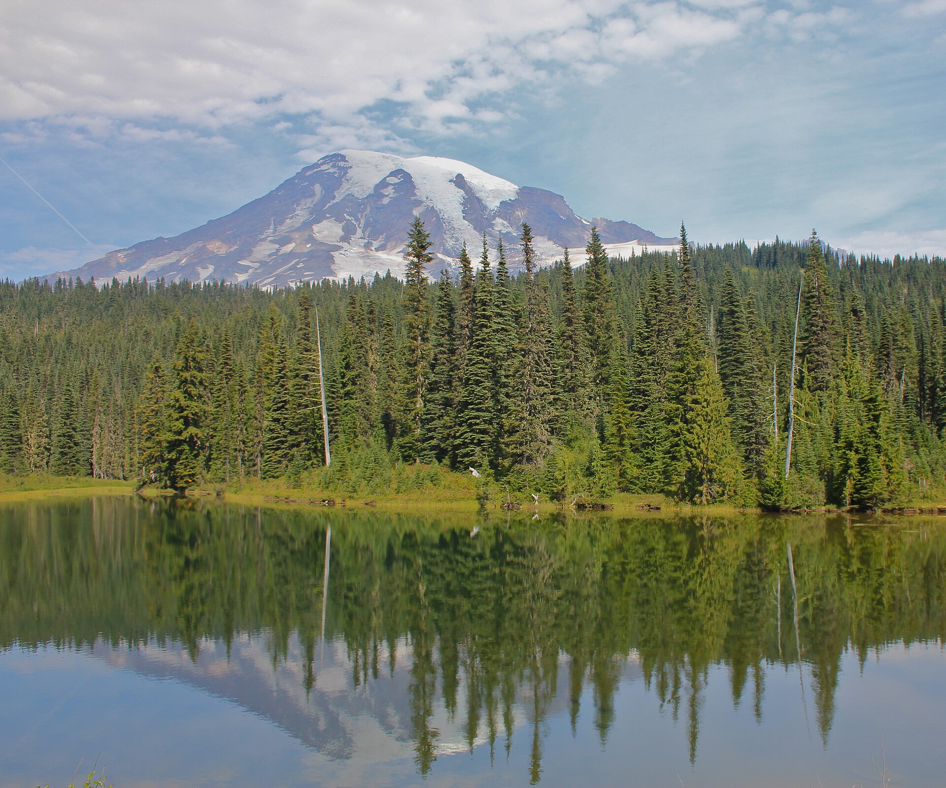
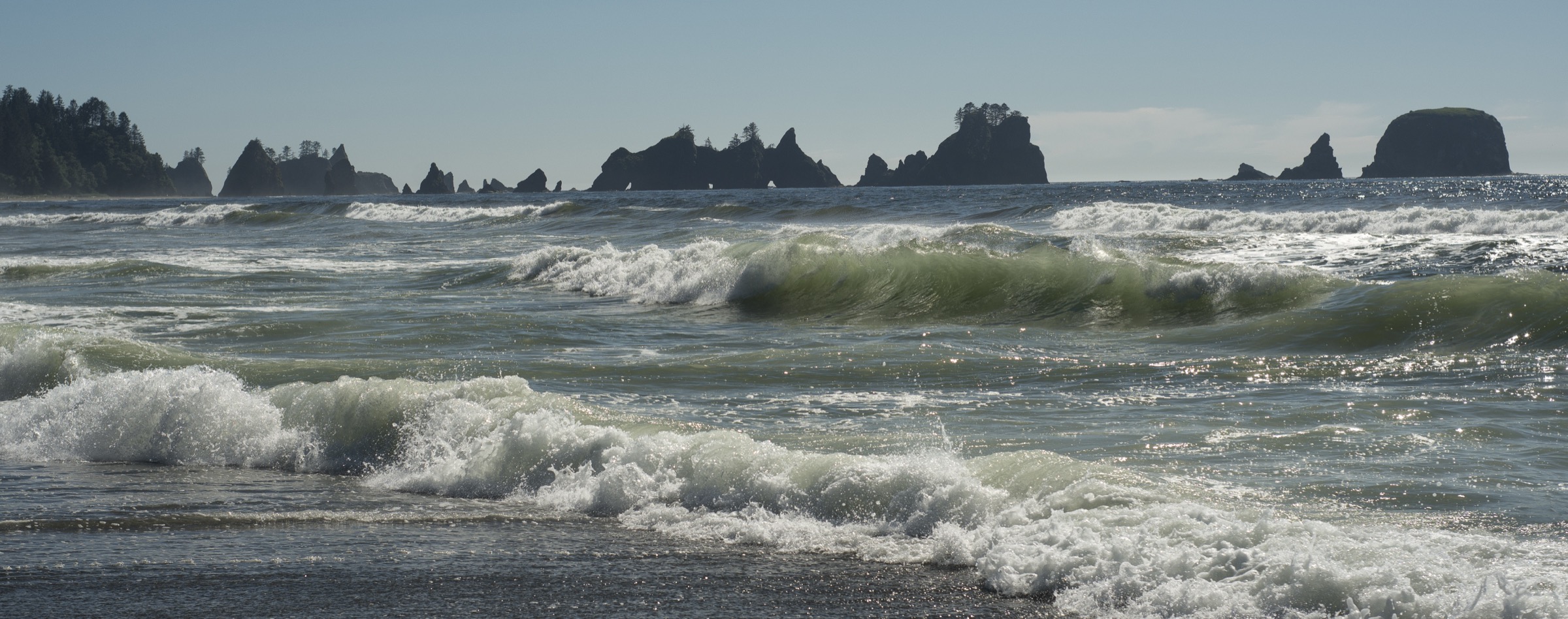
Olympic National Park protects two very different but interlocking landscapes on the west side of Washington State’s Olympic Peninsula: a 117 km (73 mi) strip of wild Pacific coast — the longest undeveloped coastline in the contiguous United States — and the temperate rainforest valleys of the Hoh, Queets and Quinault rivers, which drain the west-facing slopes of the interior Olympic Mountains. Together they form the wettest lowland environment in the Lower 48, with the Hoh Rain Forest recording roughly 3,500 mm (140 in) of rainfall a year and the coastal strip sitting perpetually inside the Pacific storm track. The federal designation is stacked: the coastal beaches and offshore waters lie within Olympic National Park, adjacent to the Olympic Coast National Marine Sanctuary, and the north end of the strip — Shi Shi Beach and Cape Flattery — sits on the Makah Indian Reservation, with access controlled by the Makah Tribe.
The rainforest walks concentrate around three visitor sub-hubs. The Hoh Rain Forest Visitor Center at the end of the 29 km (18 mi) Upper Hoh Road hosts the Hall of Mosses and Spruce Nature Trail loops, the two most famous introductions to the temperate rainforest anywhere on the planet. The Quinault valley, an hour further south, is split between Olympic National Park (north shore) and the Olympic National Forest / Quinault Indian Nation lands on the south shore, where the USFS-maintained Quinault National Recreation Trail system loops through some of the largest Sitka spruce and Douglas fir in the world. The Queets Rain Forest Trail is the third of the great river trails, but the mandatory Queets River ford at the trailhead — often waist-deep even in late summer — keeps most day-walkers on the other two valleys.
The coastal walks fall into three access clusters. The Makah end — Shi Shi Beach and Point of the Arches — is reached from Neah Bay and requires the Makah Recreation Pass. The La Push cluster — Rialto Beach and Hole-in-the-Wall to the north, and Second and Third Beaches to the south — is the most-visited stretch, an hour’s drive from Forks. The Ozette Triangle in the far north-west — Cape Alava, Sand Point and Ozette Lake — is the classic full-day coastal loop, reached from the tiny Ozette Ranger Station at the west end of Hoko-Ozette Road. Between them lie the Kalaloch beaches, Ruby Beach and the Hoh coastal strip, which see mostly day-users and photographers.
The practical walking season on the coast is year-round in the sense that the trails do not close for snow, but the coastal environment is aggressively wet: winter storms from October to April push driftwood logs into the surf zone at hazardous speed, spring produces some of the year’s biggest tides and swell, and summer fog is routine. The driest and warmest walking window is late June to mid-October. In the rainforest valleys the same window applies for firm underfoot conditions, though rain in any month is normal and expected. Above the beaches, cell coverage is patchy at trailheads and absent on the trail; on the Ozette Triangle and the Shi Shi headland even the trailhead has no signal.
Hazards on the coast are unlike any other US mountain region. Tide is the dominant one: several key headlands between Rialto and the Hoh are impassable at high water, and hikers must plan every coastal walk around a printed NOAA tide table (available at every Olympic National Park visitor center). Sneaker waves and cold-water hypothermia are the leading causes of coastal fatalities in the park. Rip currents, unstable driftwood, and slick algae-covered rock at the tidepools are constant risks. Bears — mainly American black bears — are present in every rainforest valley and on all overnight coastal camps; the National Park Service requires an approved bear canister for coastal overnight use, and canisters are strongly encouraged even for long day walks. Cougars are present but rarely seen. The rainforest trails are less objectively dangerous but demand rain-ready equipment year-round and generate a surprisingly high number of slip injuries on wet boardwalks and root steps.
Access is by private vehicle. There is no public transport into the western Olympic Peninsula: Jefferson Transit connects Port Angeles and Forks via US-101, but no fixed route serves the Hoh Road, the Quinault south shore, La Push or the Ozette Road. The Olympic National Park entrance pass — US$30 per private vehicle for 7 days, or US$55 annual, is required at the Hoh entrance station and on the Ozette approach; the Makah Recreation Pass (US$20 per vehicle, valid the calendar year) is required for Shi Shi. Olympic National Park wilderness camping permits, booked through recreation.gov, are needed for overnight use on any coastal segment but not for day hikes.
Selection rationale
The five walks below span the two defining experiences of the western Olympic Peninsula. Shi Shi Beach and Point of the Arches is the archetypal wild-coast day, the longest of the true beach walks and the one that most walkers describe as the finest coastal landscape in the Lower 48. Rialto Beach to Hole-in-the-Wall is the shorter, harder-to-time tidal walk from the La Push side — the classic first coastal outing for any visitor to Olympic. The Ozette Triangle is the region’s signature loop, an all-day boardwalk-and-beach circuit that visits Cape Alava (the westernmost point of the contiguous US), the Wedding Rocks petroglyphs, and Sand Point. The Hoh Hall of Mosses paired with the Spruce Nature Trail is the essential rainforest sampler at the Hoh Visitor Center, and the Quinault National Recreation Trail Loop delivers the same rainforest experience with less crowding and access to the biggest trees on the peninsula. The Queets Rain Forest Trail is noted in the follow-up section — its river ford makes it a specialist option rather than a general essential.
Summary table
| # | Hike | Country | Route type | Distance | Gain | Max elevation | Difficulty |
|---|---|---|---|---|---|---|---|
| 1 | Shi Shi Beach and Point of the Arches | USA | Out-and-back | ~12.9 km (~8.0 mi) | ~180 m | ~90 m | Moderate (tide-dependent) |
| 2 | Rialto Beach to Hole-in-the-Wall | USA | Out-and-back | ~5.3 km (~3.3 mi) | ~15 m | ~10 m | Easy (tide-critical) |
| 3 | Ozette Triangle (Cape Alava — Sand Point) | USA | Loop | ~15.1 km (~9.4 mi) | ~110 m | ~30 m | Moderate (tide-critical) |
| 4 | Hoh Hall of Mosses and Spruce Nature Trail | USA | Two loops | ~3.2 km (~2.0 mi) | ~50 m | ~180 m | Easy |
| 5 | Quinault National Recreation Trail Loop | USA | Loop | ~6.8 km (~4.25 mi) | ~110 m | ~250 m | Easy to moderate |
1. Shi Shi Beach and Point of the Arches
Snapshot
Itinerary
The trail leaves the Makah Reservation trailhead just south of Neah Bay and enters a dense coastal spruce–hemlock forest on a wide, historically muddy woods track that has been progressively improved with cedar boardwalk and stone-set drainage. The first 3.2 km (2.0 mi) undulate through the forest with almost no view, crossing several small creeks and passing the Olympic National Park wilderness boundary marker at the top of the coastal bluff. From the boundary the trail drops steeply on a rope-assisted mud and root staircase — the crux of the walk in wet conditions — down about 60 m to the north end of Shi Shi Beach. Once on the sand the character changes completely: 3.2 km (2.0 mi) of open beach walk south past the driftwood zone, tidepools, and offshore islets to Point of the Arches, a dense cluster of sea stacks and natural arches that gives the walk its name. The final approach to the Arches passes through the mouth of Petroleum Creek — an easy step-across in summer, a knee-deep wade after rain — and reaches the base of the arches themselves, where tidepools at low tide expose one of the richest intertidal zones on the Pacific coast. Return by the same route.
Why it is essential
Shi Shi Beach and Point of the Arches are widely rated as the finest coastal landscape in the contiguous United States. The beach is 3.2 km of open Pacific sand backed by rainforest cliffs, terminated by a spectacular cluster of arch-drilled sea stacks that carry the beach’s name. The walk crosses two management regimes — Makah Reservation forest and Olympic National Park wilderness — and delivers on both the primordial forest and the wild coast in a single day. It is also one of the few coastal walks in the park where a fit day-hiker can reach the iconic scenery from a trailhead without any tide-locked headland to cross.
Equipment
- Waterproof boots — the forest track is a mud bath most of the year
- Full waterproof shell and rain trousers
- Warm insulating layer even in summer
- 2 L water — treat any Petroleum Creek water; the forest creeks are stained but drinkable when filtered
- Sun protection for the open beach
- Trekking poles for the bluff descent
- Printed NOAA tide chart for the day
- Bear canister recommended for lunch storage on the beach
- Makah Recreation Pass (US$20/vehicle, valid the calendar year) — buy at any Neah Bay retailer or online
- Olympic National Park wilderness permit only if camping overnight
Hazards and notes
- Steep, rope-assisted bluff descent between the forest and the beach; slick after rain, exceptionally so with a full pack
- Tide governs any Southern approach to Point of the Arches — the boulder field south of the arches becomes impassable above ~1.5 m tide
- Sneaker waves — freak surge waves — are the leading cause of coastal fatalities on the Pacific Northwest coast; do not turn your back on the sea and stay above the wet high-tide line
- Cold-water hypothermia risk year-round; the ocean stays around 8–12 °C
- Petroleum Creek can become uncrossable after heavy rain
- Makah Reservation trailhead parking is a small lot; overnight parking requires a Makah Wilderness Camping Permit and a separate Makah Recreation Pass
- Bear canisters required for any overnight camping between Yellow Banks and Shi Shi
GPX / KML links
| Source | URL | Format | Notes |
|---|---|---|---|
| NPS Olympic National Park — Shi Shi Beach | nps.gov | Official page | No official GPX; describes route, permits and hazards |
| Washington Trails Association — Shi Shi Beach and Point of Arches | wta.org | Guidebook page | Distance and description; no downloadable GPX |
| Waymarked Trails / OpenStreetMap | hiking.waymarkedtrails.org | OSM data | Shi Shi Beach Trail mapped in OSM; export via relation or JOSM |
Sources
- NPS — Shi Shi Beach and Olympic Wilderness
- Washington Trails Association — Shi Shi Beach
- Makah Tribe — Recreation Pass information
2. Rialto Beach to Hole-in-the-Wall
Snapshot
Itinerary
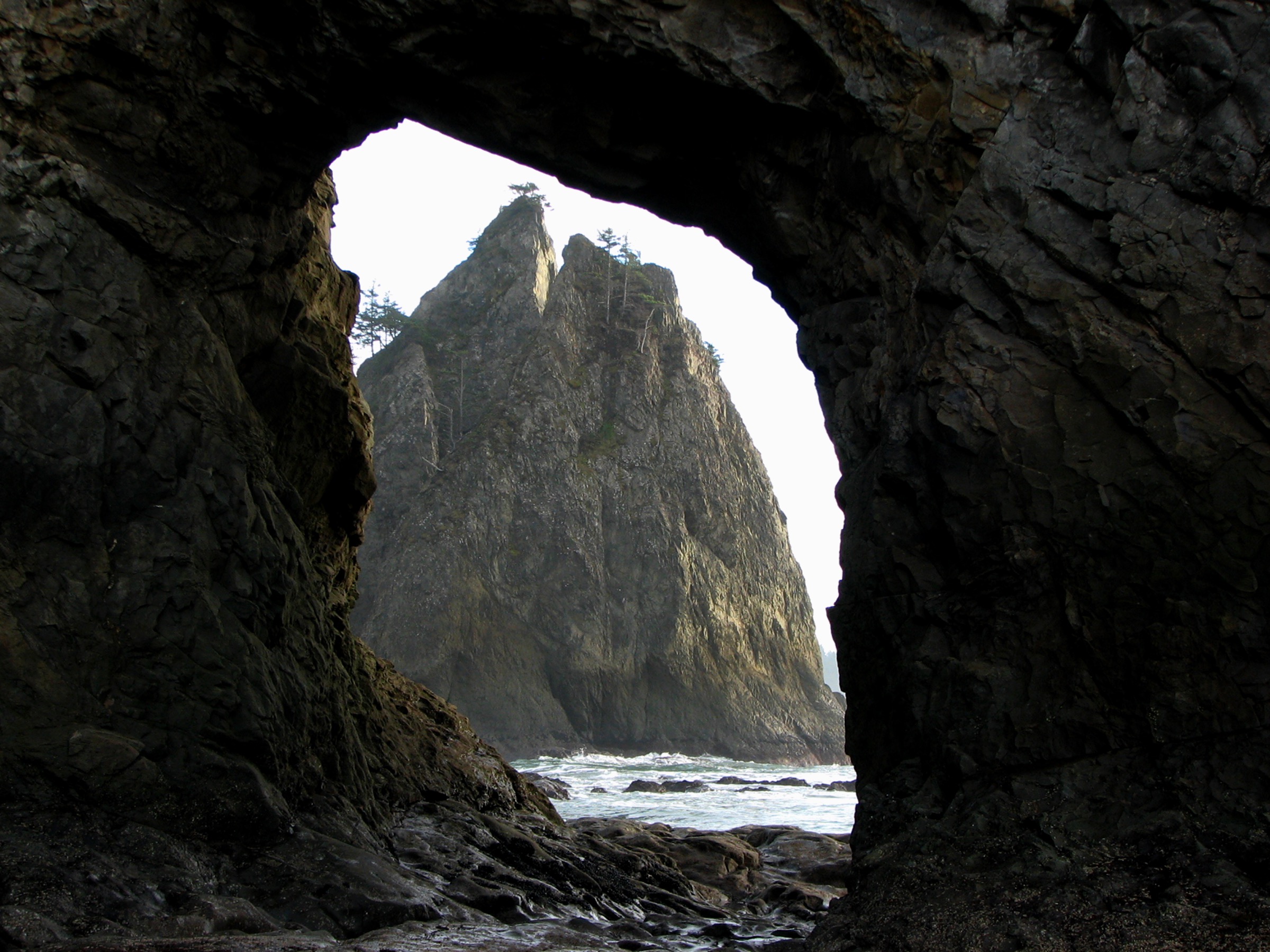
The trail — really a beach walk — leaves the Rialto Beach picnic area at the mouth of the Quillayute River, opposite the fishing village of La Push. The first 800 m north to Ellen Creek is flat sand and driftwood, the only stretch open to leashed dogs. Past Ellen Creek — a shallow step-across at low tide, a wade in high water — the beach walk continues north for another 1.8 km past Cake Rock and a series of small tidepool ledges. The final approach to Hole-in-the-Wall crosses a wide boulder cobble that becomes progressively harder to walk on and is submerged at high tide. The arch itself, a 20 m sea stack pierced by a high tidal arch, is passable on foot only within a tide window of roughly 2 hours before low tide to 30 minutes after; at any higher water the boulder base fills and the passage closes. Beyond the arch, the beach continues north to Chilean Memorial and Cape Johnson for backpackers on multi-day trips. Day walkers usually explore the tidepools around the arch — some of the richest and most accessible on the coast — and return by the same route.
Why it is essential
Rialto Beach with Hole-in-the-Wall is the archetypal short introduction to the Olympic Coast. It is drivable from any west-side accommodation, walkable in half a day, and delivers the two defining coastal features of the park — a massive driftwood beach and a tidal sea arch — in a single low-effort outing. It also functions as the practical case study for tide planning: any hiker who plans this walk correctly is equipped to plan the harder tide-locked segments north to Cape Johnson or south to Second and Third Beach.
Equipment
- Waterproof boots or sturdy trainers with grip
- Waterproof shell
- Warm layer even in summer
- 1 L water
- Sun protection
- Printed NOAA tide chart for Rialto Beach for the day of walking
- Reef-safe tidepool footwear if planning to wade
- Bear canister not required for day walks; strongly recommended for any overnight
Hazards and notes
- Tide-critical: the arch is passable only within roughly a 2-hour window either side of low tide; monitor the incoming tide when returning
- Sneaker waves are a documented fatal hazard on this coastline — stay above the wet high-tide line
- Slick algae-covered rock in the tidepool zone; do not step on live mussels or barnacles
- Do not climb the driftwood — heavy logs shift with the surf
- Wilderness camping between Ellen Creek and Chilean Memorial requires an NPS wilderness permit; bear canisters required for coastal overnight use
- Cell coverage patchy at the trailhead and absent on the beach
GPX / KML links
| Source | URL | Format | Notes |
|---|---|---|---|
| NPS Olympic National Park — Rialto Beach | nps.gov | Official page | Route, tide advice, permit rules; no downloadable GPX |
| Washington Trails Association — Rialto Beach / Hole-in-the-Wall | wta.org | Guidebook page | Route stats and current reports |
| Waymarked Trails / OpenStreetMap | hiking.waymarkedtrails.org | OSM data | Coastal route in OSM; export via relation |
Sources
- NPS — Rialto Beach
- NPS — Tidepool Activities on the Olympic Coast
- Washington Trails Association — Rialto Beach / Hole-in-the-Wall
3. Ozette Triangle (Cape Alava — Sand Point)
Snapshot
Itinerary
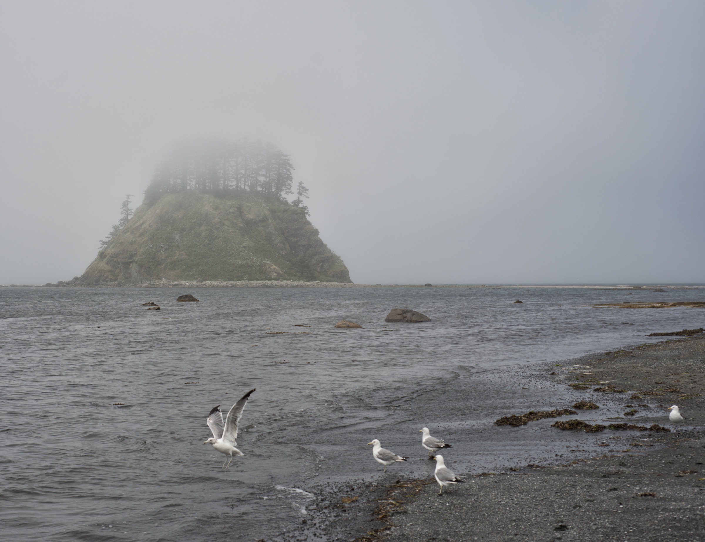
From the Ozette Ranger Station at the west end of Hoko-Ozette Road, the loop crosses the Ozette River on an arched footbridge and enters the coastal cedar–spruce forest on the Cape Alava Trail. The trail is almost entirely on elevated cedar boardwalk for the 4.8 km (3.0 mi) walk out to Cape Alava — a rare and unusual construction that was rebuilt in stages over the last 25 years and requires very careful footing when wet, especially on the downhill sections where the cedar planks become slick. The Cape Alava Trail emerges from the forest at Cape Alava itself, the westernmost point of the contiguous United States, with Tskawahyah Island and the Ozette Island group offshore. The middle leg runs south for 4.8 km (3.0 mi) along the beach and cobble headlands, passing the Wedding Rocks petroglyphs at roughly the halfway mark — a cluster of Makah rock carvings, some dated to more than 300 years old, that must not be touched. Several headlands between Wedding Rocks and Sand Point require timing against low tide; consult a printed tide chart before starting. From Sand Point the loop returns 4.8 km (3.0 mi) inland on the Sand Point Trail, again mostly on boardwalk, back to the Ozette Ranger Station.
Why it is essential
The Ozette Triangle is the region’s signature coastal day-loop, the longest of the true day walks and the only one that combines cedar-boardwalk rainforest, a tide-locked beach middle leg, ancient Makah petroglyphs and the westernmost point of the contiguous US in a single loop. It is also the flattest of the coastal walks, which makes the long distance surprisingly manageable for a broad range of walkers. Cape Alava was the site of the Ozette Village archaeological excavations of 1970–81, which recovered one of the most significant Native American artefact collections in North America — the Makah Cultural and Research Center in Neah Bay houses the collection today.
Equipment
- Waterproof boots with strong grip — the boardwalk is genuinely slippery
- Full waterproof shell
- Warm layer even in summer
- 3 L water; treat any beach-side stream water
- Sun protection
- Trekking poles helpful on the boardwalk descents
- Printed NOAA tide chart for Cape Alava for the day
- Headtorch — the full loop takes long enough that shoulder-season parties should be prepared to finish in low light
- Bear canister recommended for day walkers; required for overnight camping between Yellow Banks and Sand Point
Hazards and notes
- Wet cedar boardwalk is the single most common source of slip injuries on this loop — the older sections in particular develop moss
- Several headlands between Wedding Rocks and Sand Point are impassable at high tide; carry a tide chart and plan to walk the middle leg around low water
- Sneaker waves are documented on this stretch; stay well above the wet high-tide line
- Do not touch or chalk the Wedding Rocks petroglyphs — Makah cultural site protected under NPS regulation and tribal law
- Wilderness camping between Yellow Banks and Sand Point is limited year-round and requires an NPS wilderness permit booked via recreation.gov
- Ozette Road parking is small and can fill on peak summer weekends — arrive early
- Cell coverage is absent from the trailhead onwards
GPX / KML links
| Source | URL | Format | Notes |
|---|---|---|---|
| NPS Olympic National Park — Ozette Loop | nps.gov | Official page | Route, tide advice, permit rules; no downloadable GPX |
| Washington Trails Association — Cape Alava Loop (Lake Ozette) | wta.org | Guidebook page | Distance and description |
| Waymarked Trails / OpenStreetMap | hiking.waymarkedtrails.org | OSM data | Full Ozette Triangle mapped in OSM |
Sources
- NPS — Ozette Loop
- Washington Trails Association — Lake Ozette / Cape Alava Loop
- Makah Cultural and Research Center — Ozette Village collection
4. Hoh Hall of Mosses and Spruce Nature Trail
Snapshot
Itinerary
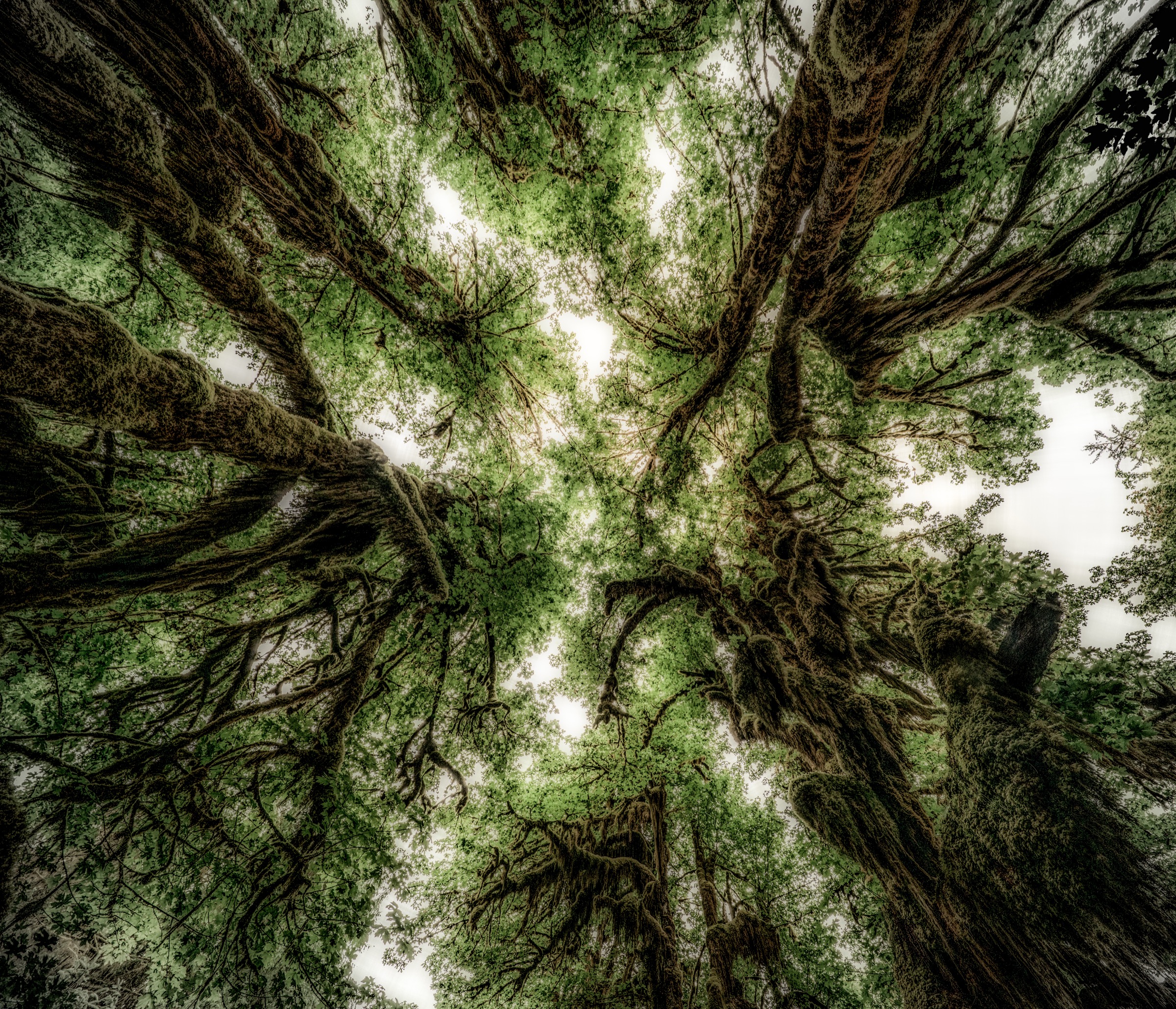
Both loops start from the wooden deck outside the Hoh Rain Forest Visitor Center at the end of Upper Hoh Road. The Hall of Mosses loop heads east across a small bridge and climbs gently through an old-growth stand of Sitka spruce and western hemlock to a raised bench where the trail enters the grove that gives the loop its name — a small stand of bigleaf maples so densely draped in club mosses (mainly Selaginella oregana and Isothecium myosuroides) that the branches appear woven with green fabric. The loop closes back to the visitor center at 1.3 km. The Spruce Nature Trail heads west from the same deck, descends gently through a mixed spruce–hemlock–maple forest to a bench above the Hoh River, and returns along the river-terrace nurse-log community that is the classic textbook illustration of temperate rainforest succession. Interpretive signs along both loops explain the mosses, the nurse-log ecology, and the periodic Roosevelt elk grazing that shapes the understory. Elk are frequently seen along the Spruce loop in early morning.
Why it is essential
The Hoh Hall of Mosses and Spruce Nature Trail together form the most-visited introduction to temperate rainforest in the world. Ten kilometres of trail here — the two short loops and the first section of the Hoh River Trail — see roughly a million visits a year; the two nature-trail loops carry the bulk of them. For a walker without a full day for the Ozette Triangle or Shi Shi, these two loops are the essential short introduction to the west-side rainforest character of Olympic National Park. Both loops are wheelchair-permissible with assistance on the level sections.
Equipment
- Standard walking shoes; waterproof recommended
- Rain jacket year-round — the visitor center receives approximately 3,500 mm (140 in) of rain a year
- Warm layer
- 0.5–1 L water
- Bug repellent in early summer
- Olympic National Park entrance pass (US$30 per vehicle, 7 days; US$55 annual) at the Hoh entrance station
Hazards and notes
- Wet roots and boardwalk sections can be surprisingly slick — walk deliberately
- Roosevelt elk are large, wild animals; keep a distance of at least 25 m
- Upper Hoh Road is prone to seasonal closure due to flooding, wildfire smoke, or wildlife activity — check the NPS Olympic road status page before travel
- Hoh entrance station parking is capacity-limited on summer weekends; arrive before 09:00 or after 15:00
- No permit required for day use; bear canisters required for any overnight
GPX / KML links
| Source | URL | Format | Notes |
|---|---|---|---|
| NPS Olympic National Park — Hoh Rain Forest | nps.gov | Official page | Route and trail descriptions; no downloadable GPX |
| Washington Trails Association — Hall of Mosses | wta.org | Guidebook page | Distance and description |
| Waymarked Trails / OpenStreetMap | hiking.waymarkedtrails.org | OSM data | Both loops mapped in OSM |
Sources
- NPS — Hoh Rain Forest
- Washington Trails Association — Hall of Mosses
- Olympic Peninsula Visitor Bureau — Hoh Rainforest hikes
5. Quinault National Recreation Trail Loop
Snapshot
Itinerary
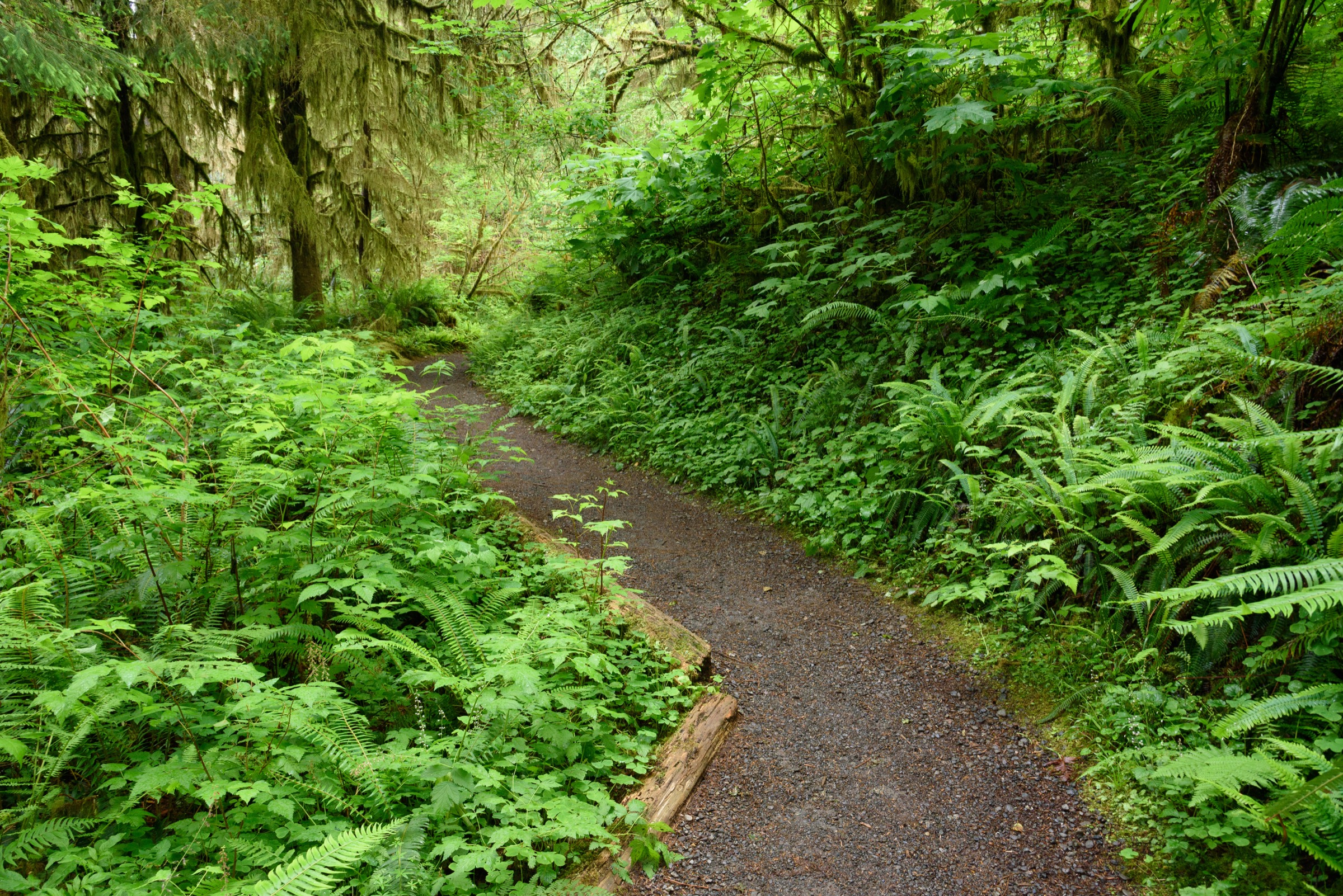
The Quinault National Recreation Trail system is a network of interconnected USFS-maintained loops on the south shore of Lake Quinault, in the Olympic National Forest rather than Olympic National Park. The standard circuit — Quinault Loop Trail #854 — leaves the Rain Forest Nature Trail lot opposite the Lake Quinault Lodge and heads inland through an old-growth forest of Sitka spruce, western hemlock and Douglas fir, some over 500 years old. The trail passes several signposted “giant tree” specimens, most notably a very large Sitka spruce that is signposted from the loop. From the highest point the trail descends past Cascade Falls — a spring-fed 15 m veil — and rejoins the shore-parallel section that runs alongside Willaby Creek and Falls Creek back to the lodge and trailhead. The full circuit visits four separate old-growth stands, two waterfalls, and the shore of Lake Quinault. The 0.9-mile (1.4 km) Rain Forest Nature Trail is a short educational loop from the same lot that can be walked as a half-hour introduction.
Why it is essential
The Quinault south-shore forest is one of the least-crowded of the great rainforest sites on the peninsula and delivers the same experience as the Hoh with several distinctive advantages: it sits in Olympic National Forest (no park entrance fee, though a Northwest Forest Pass at some trailheads or a National Park entrance pass is honoured), holds some of the largest documented Sitka spruce and western hemlock in the world within a short walk of the road, and links two waterfalls into the same loop. It also puts the Lake Quinault Lodge — a 1926 National Register historic lodge — at the start and finish. For a walker with a car and half a day, the Quinault Loop is the most complete rainforest sampler in the region.
Equipment
- Standard walking shoes; waterproof recommended
- Rain jacket year-round
- Warm layer
- 1 L water
- Bug repellent in early summer
- No permit required for day use on the loop; some adjacent USFS trailheads require a Northwest Forest Pass (US$5/day or US$30/annual) — confirm on the current USFS Olympic National Forest passes page
Hazards and notes
- Wet roots and log crossings can be slick after rain
- The system is a working USFS trail with occasional windthrow blow-downs — check current condition on the USFS or WTA pages
- Roosevelt elk are present in the Quinault valley; keep 25 m distance
- The full loop crosses the boundary between Olympic National Forest and Olympic National Park briefly in some variants — pass rules follow the segment
- Bear canisters not required for day walks
GPX / KML links
| Source | URL | Format | Notes |
|---|---|---|---|
| USFS Olympic National Forest — Quinault Loop Trail #854 | fs.usda.gov | Official page | Loop map and status; no downloadable GPX |
| Washington Trails Association — Quinault National Recreation Trails | wta.org | Guidebook page | Distance and description |
| Waymarked Trails / OpenStreetMap | hiking.waymarkedtrails.org | OSM data | Loop mapped in OSM |
Sources
- USFS Olympic National Forest — Quinault Loop Trail #854
- Washington Trails Association — Quinault National Recreation Trails
- Olympic Peninsula Visitor Bureau — Rainforests
Missing data / follow-up work
- Queets Rain Forest Trail — not included in the essential five because the mandatory Queets River ford at the trailhead is commonly waist-deep even in late summer and closes the trail to most day-walkers. Feasible as a specialist late-summer / early-autumn day-hike for parties equipped for a swift-water ford. NPS advises a maximum ford flow of ~800 cfs; check the Queets River gauge and NPS Olympic road/river status before travel.
- Second Beach and Third Beach (La Push) — two shorter, less tide-critical alternatives to Rialto for parties based at La Push. Second Beach is ~6.9 km return with a small bluff descent; Third Beach is ~2.7 km return to a driftwood beach. Both are worth adding to a multi-day itinerary but overlap in character with Rialto.
- Ruby Beach and Kalaloch — day-user beaches with short bluff-to-sand walks (~1 km return each) rather than full day-hikes; ideal for a short stop between the Hoh and Quinault.
- Cape Flattery — the northern tip of the contiguous US, on the Makah Reservation, ~2.4 km return on well-built boardwalks. Excellent short walk but not a full day-hike; requires the same Makah Recreation Pass as Shi Shi.
- Colonel Bob Peak (~2,000 m ascent, ~23 km return) — a signature summit above Quinault. Long, arduous, and often washed out or overgrown; suitable as a strenuous specialist ascent rather than a standard essential day-hike, and better sourced against USFS status pages before attempting.
- Upper Hoh Road status — closed by seasonal flooding, wildfire smoke, or wildlife events in some recent years. Always confirm with the NPS Olympic road-status page before travel; alternative visitor access is not available.
- Ozette wilderness camping permits — booked via recreation.gov, mandatory year-round for overnight coastal use; day walkers on the Ozette Triangle do not need a permit but do need the standard NPS entrance pass.
- Coastal tide charts — pick up the official NPS tide chart at any Olympic visitor center or ranger station; the NPS-issued booklet includes the recommended safe passage windows for each headland north of the Quillayute.
Further reading
| Source | URL |
|---|---|
| NPS Olympic National Park — main page | nps.gov/olym |
| NPS Olympic National Park — Fees and Passes | nps.gov |
| NPS Olympic — Wilderness Backpacking Reservations | nps.gov |
| NPS Olympic — Shi Shi Beach | nps.gov |
| NPS Olympic — Rialto Beach | nps.gov |
| NPS Olympic — Ozette Loop | nps.gov |
| NPS Olympic — Hoh Rain Forest | nps.gov |
| NPS Olympic — Tidepool Activities on the Coast | nps.gov |
| USFS Olympic National Forest — Passes | fs.usda.gov |
| USFS Olympic National Forest — Quinault Loop Trail #854 | fs.usda.gov |
| Washington Trails Association — Olympic Peninsula hikes | wta.org |
| Makah Tribe — official site | makah.com |
| Makah Cultural and Research Center | makahmuseum.com |
| Olympic Coast National Marine Sanctuary (NOAA) | olympiccoast.noaa.gov |
| Olympic Peninsula Visitor Bureau | olympicpeninsula.org |
| Recreation.gov — Olympic National Park wilderness permits | recreation.gov |