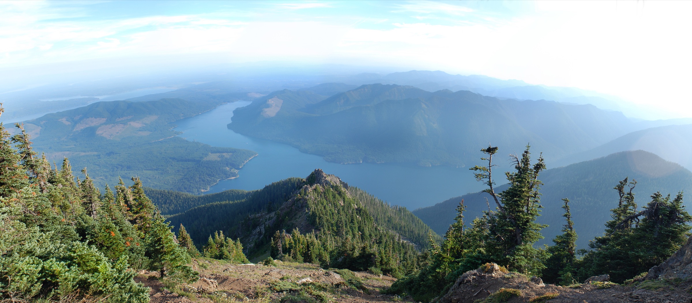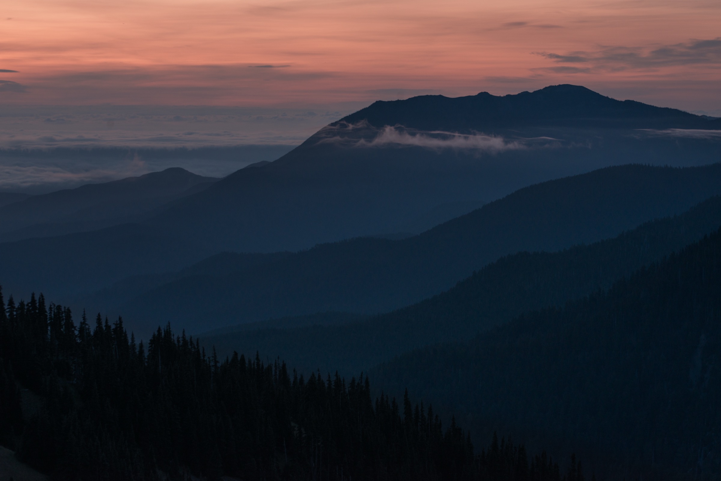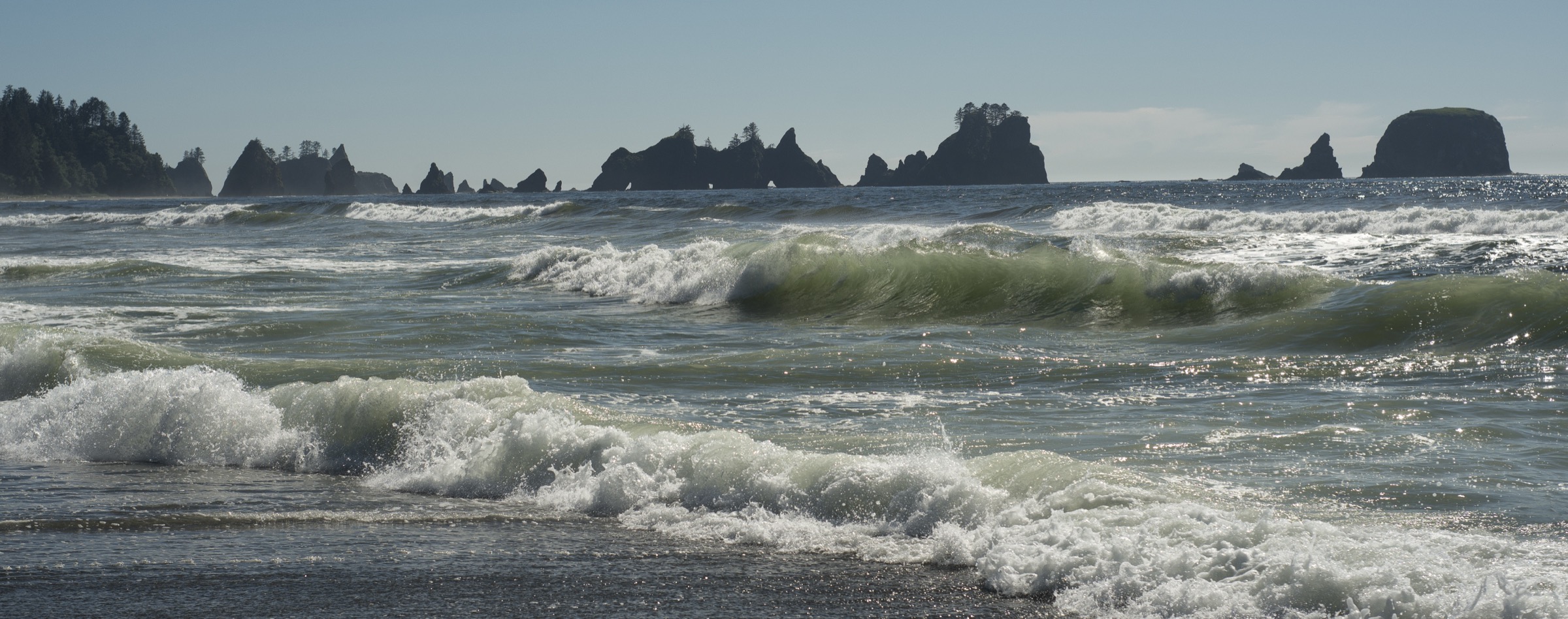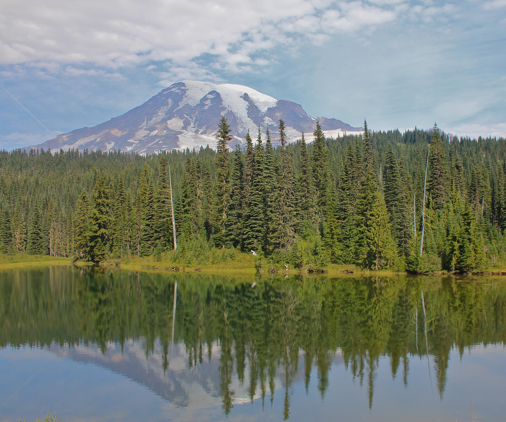
Regional overview
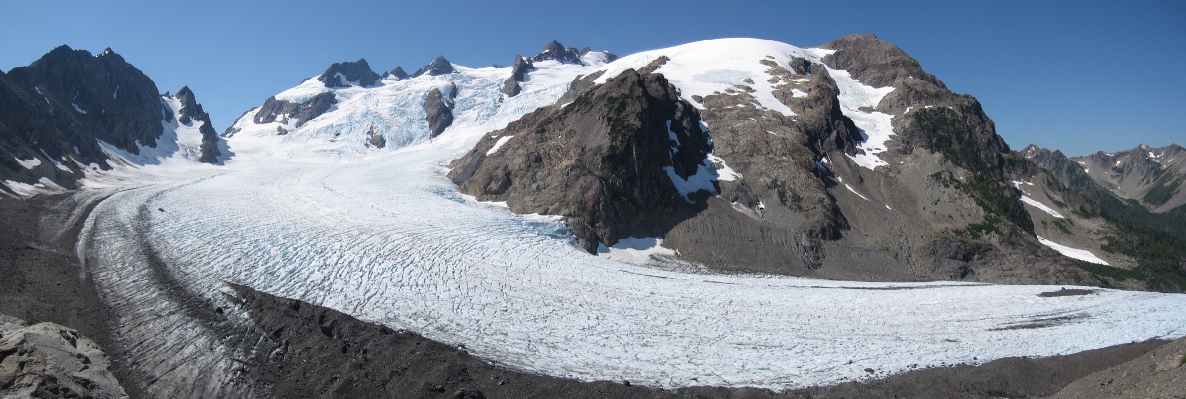
The High Olympics sit at the alpine core of Olympic National Park in Washington State — a compact, heavily glaciated cluster of ridges, cirques and horn peaks radiating from Mount Olympus (2,432 m / 7,980 ft), the range’s highest summit and the wettest non-polar mountain in the contiguous United States. Uplifted from marine sediments and volcanic rocks and sculpted by successive Pleistocene ice caps, the massif still carries active glaciers on almost every aspect: the Blue Glacier on the north face is the range’s longest at roughly 4.3 km, and the Hoh, Humes, White and Jeffers glaciers drape the surrounding cirques. Mount Olympus itself sits only about 55 km from the Pacific — close enough that maritime cloud regularly caps the summit for weeks at a time.
The main walking approaches into this interior come from three sides. On the north-west, Sol Duc Hot Springs Road runs south off US-101 to the Sol Duc trailhead — the launching point for Sol Duc Falls, the High Divide / Seven Lakes Basin loop, Deer Lake, Mink Lake, and the Sol Duc approach to Appleton Pass. On the west, Upper Hoh Road runs from Forks up the Hoh River into the temperate rainforest and terminates at the Hoh Visitor Center, from which the Hoh River Trail runs 27–28 km east into the range to Glacier Meadows and the Blue Glacier moraine — the standard mountaineering approach to Mount Olympus. On the north, the Elwha Valley provided the historic Boulder Lake / Appleton Pass approaches, but a series of flood washouts on Olympic Hot Springs Road, in place since around 2016, mean vehicle access has now stopped at the Madison Falls parking area for years and remains closed for the foreseeable future.
The practical dry-hike season for the High Olympics runs from mid-July, once winter snow finally clears the passes above 1,400 m, through late September when the first serious autumn storms return. Sol Duc Road itself is a normally-plowed all-season road but is subject to storm closures. Sol Duc Falls and the lower rainforest trails are walkable most of the year, but the interior alpine belt — the High Divide, Seven Lakes Basin, Bogachiel Peak, Appleton Pass — is genuinely under snow into July and receives fresh snowfall from October. On the Hoh side, the lower rainforest trail is walkable year-round; the upper approach past Elk Lake into Glacier Meadows and the Blue Glacier moraine is an alpine environment above 1,200 m and holds snow late.
Access rules are structured but light. Day hiking anywhere in Olympic National Park requires only the standard park entry pass (US$30 per vehicle for 7 days as of the 2026 season — verify at nps.gov/olym). Overnight travel across the boundary requires a wilderness camping permit booked through recreation.gov, plus a mandatory approved bear canister in the Sol Duc / Seven Lakes Basin quota area. Day walkers do not need overnight permits, but the High Divide loop is regulated for overnight groups and is normally treated as a two- or three-day trip; parties doing it in a single very long day should still respect the food-storage and Leave No Trace rules that apply on the trail. The Sol Duc parking lot fills by mid-morning on peak weekends; a 06:00–07:00 start is common practice.
Hazards for the interior High Olympics are those of a genuine North American mountain range with maritime weather. Storm cells can build fast off the Pacific and rake the alpine ridges with rain, wind and low cloud in any summer month. Snowfields linger on Bogachiel Peak, the High Divide traverse and Appleton Pass into July; parties before mid-July should carry an ice axe and be prepared for steep snow. Mountain goat encounters, once a significant risk after a fatal 2010 goring on Klahhane Ridge, have been largely resolved by the NPS/USDA translocation project of 2018–2020, but hikers should still give any remaining goats space. Cellular coverage is essentially absent throughout the interior; the wilderness starts at every trailhead and search-and-rescue times are measured in days, not hours, for parties in trouble on the Blue Glacier moraine or in Seven Lakes Basin.
Mount Olympus itself is not a day-hike. The summit is a mountaineering objective requiring roped travel across the Blue Glacier and Snow Dome, crevasse rescue kit, and typically a two- to three-day approach with an overnight at Glacier Meadows. None of the five walks below reach the summit; instead they view or approach it as day-feasible walks. The Hoh River Trail entry, taken to Five Mile Island or a little further, is offered as the classic valley approach — a genuine day out that turns back well below the alpine boundary.
Selection rationale
The five walks below cover the four defining experiences of the High Olympics day-hiker: an old-growth cathedral to a signature waterfall, an alpine loop with the region’s finest Olympus panorama, a specific summit above Seven Lakes Basin, a classic pass into the interior, and the great rainforest valley approach toward the mountain itself. Sol Duc Falls is the accessible short walk that every visitor to the Sol Duc side does; the High Divide / Seven Lakes Basin loop is the classic mid-summer alpine circuit and the essential Mount Olympus viewpoint from a hiking-only route; Bogachiel Peak is the natural specific summit off that loop; Appleton Pass by the Sol Duc side is the interior pass day-walk that avoids the closed Elwha access; and the Hoh River Trail to Five Mile Island is the essential valley approach along the greatest of the Olympic rainforest rivers, entering the range from the west toward Mount Olympus and its Blue Glacier. Deer Lake, Mink Lake and the shorter Sol Duc trails are noted in the follow-up section as strong alternatives; Boulder Lake is excluded for as long as Olympic Hot Springs Road remains closed to vehicles.
Summary table
| # | Hike | Country | Route type | Distance | Gain | Max elevation | Difficulty |
|---|---|---|---|---|---|---|---|
| 1 | Sol Duc Falls (and optional Deer Lake) | USA | Out-and-back | ~2.6 km (~1.6 mi) or ~12.9 km with Deer Lake | ~60 m or ~500 m with Deer Lake | ~595 m falls; ~1,140 m Deer Lake | Easy / Moderate |
| 2 | High Divide / Seven Lakes Basin loop | USA | Loop | ~30.6 km (~19.0 mi) | ~1,220 m (~4,000 ft) | ~1,560 m (5,120 ft) | Very strenuous — often overnight |
| 3 | Bogachiel Peak from Sol Duc via Deer Lake | USA | Out-and-back | ~24.5 km (~15.2 mi) | ~1,150 m | ~1,555 m (5,100 ft) | Strenuous |
| 4 | Appleton Pass from the Sol Duc | USA | Out-and-back | ~23.8 km (~14.8 mi) | ~1,200 m | ~1,555 m (5,100 ft) | Strenuous |
| 5 | Hoh River Trail to Five Mile Island | USA | Out-and-back | ~17.1 km (~10.6 mi) | ~90 m | ~245 m | Easy — long |
1. Sol Duc Falls (and optional Deer Lake)
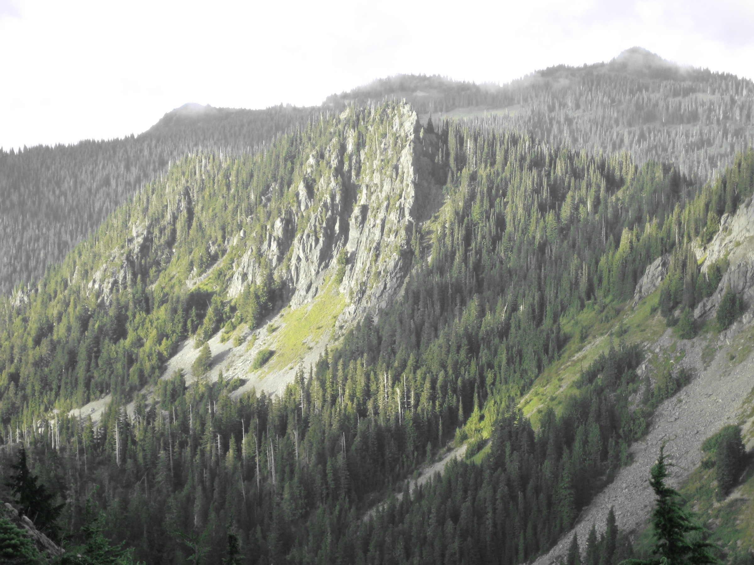
Snapshot
Itinerary
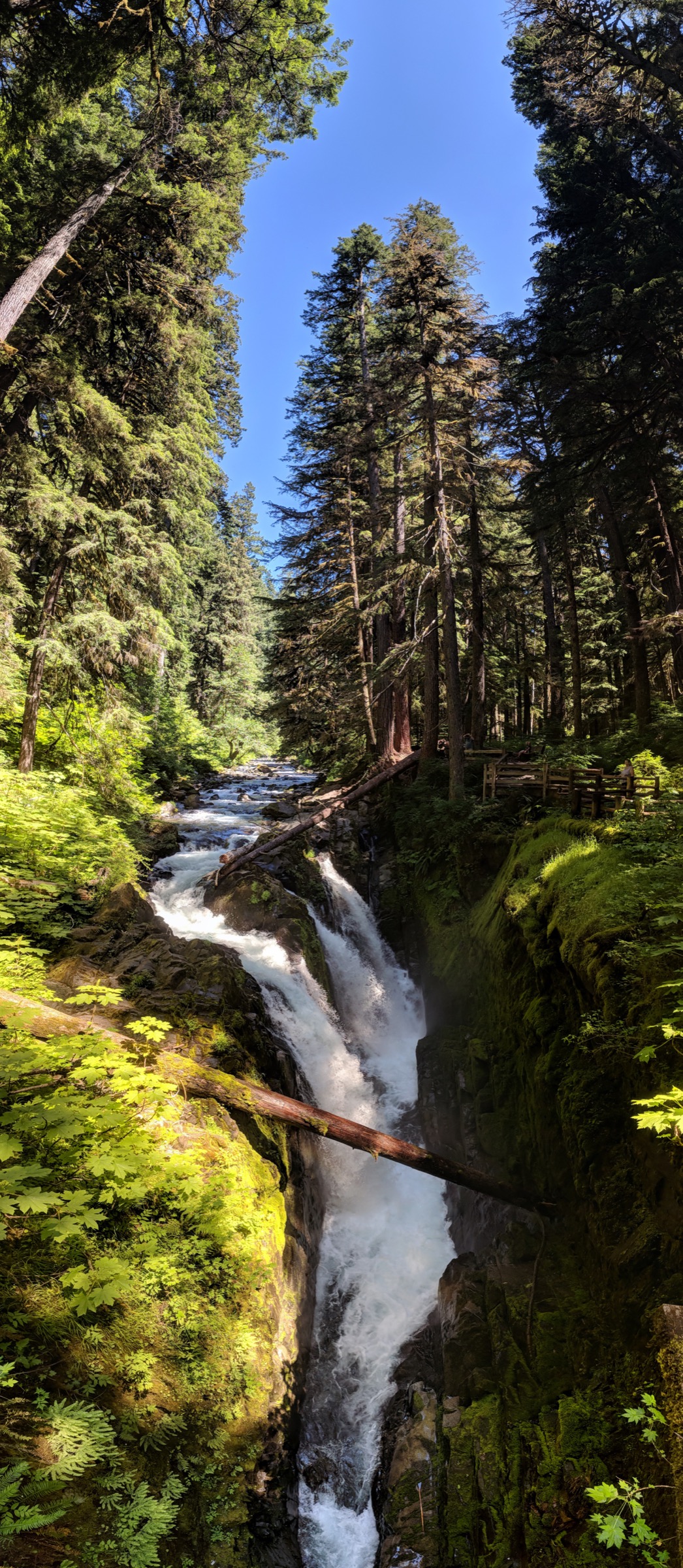
From the Sol Duc trailhead at the end of the paved road above Sol Duc Hot Springs Resort, a broad, near-level trail runs east through cathedral-scale old-growth western hemlock and Douglas fir to reach the Sol Duc Falls footbridge at about 1.3 km. The falls themselves drop over a sandstone lip into a narrow slot canyon, splitting into three or four braided plumes at high water and joining again at the bottom — a compact, unusually photogenic waterfall that draws every Sol Duc visitor. The bridge crosses the river directly over the drop; a short side path continues to the Canyon Creek shelter for a slightly different vantage.
For a moderate day the Deer Lake extension continues past the footbridge on the Canyon Creek Trail, climbs steadily on switchbacks through hemlock and silver fir, and reaches Deer Lake at about 6.4 km from the trailhead — a subalpine lake set in an open meadow bowl at approximately 1,140 m, with camping platforms and a signed junction where the Bogachiel Peak / High Divide trail continues to climb south. Deer Lake is a natural turnaround for a moderate day; a full loop back via the Sol Duc River Trail is longer than the direct return and is described under the High Divide loop.
Why it is essential
Sol Duc Falls is the signature waterfall of the Olympic interior and the accessible entry point to the Sol Duc / High Divide alpine system. In under three kilometres it delivers old-growth rainforest of the same character as the Hoh, a compact and dramatic waterfall in a slot canyon, and — with the Deer Lake extension — a subalpine lake within striking distance of the High Divide. It is the natural first walk on the Sol Duc side for any visitor.
Equipment
- Standard hiking shoes or boots
- Weatherproof layer — Sol Duc rainfall is measured in metres
- Warm layer (light in summer; heavier for shoulder season)
- 1–2 L water; carry more for Deer Lake
- Sun protection
- Trekking poles helpful on the descent for the Deer Lake extension
- Bear-aware food handling if extending — Sol Duc bears are habituated to trailhead lots
- Microspikes and gaiters for the Deer Lake trail into early July for lingering snow
Hazards and notes
- The Sol Duc Falls footbridge deck can be slick with spray in any season — hold children, keep camera straps around necks
- The lower falls trail can flood in heavy autumn rain; check NPS conditions before travel
- Sol Duc parking lot fills by 09:00 on peak summer weekends
- Sol Duc Hot Springs Road is normally plowed but subject to storm closures — verify with NPS if travelling in winter
- Bear activity is routine in the Sol Duc valley — do not leave food unattended at picnic tables or in view in cars
- The Deer Lake extension crosses a wilderness boundary; day walkers do not need permits but the standard park entry pass applies
GPX / KML links
| Source | URL | Format | Notes |
|---|---|---|---|
| NPS — Sol Duc Valley | nps.gov | Official page | Trail description and current status; no official GPX |
| Washington Trails Association — Sol Duc Falls | wta.org | Trail database | Distance, gain, seasonal notes |
| Waymarked Trails — Sol Duc Falls trail | hiking.waymarkedtrails.org | OSM route relations | Trail segments mapped in OSM; GPX exportable via the relation |
Sources
2. High Divide / Seven Lakes Basin loop
Snapshot
Itinerary
The classic direction is anticlockwise. From the Sol Duc trailhead, the route follows the Sol Duc Falls trail to the footbridge at 1.3 km, then turns south on the Canyon Creek Trail and climbs through hemlock and silver fir on switchbacks to Deer Lake at about 6.4 km (1,140 m). From Deer Lake the trail continues to climb south-west through open subalpine meadows scattered with heather and Cascade huckleberry, reaches the Bogachiel Peak junction at about 11.9 km (an optional 0.6 km spur to the summit — described separately below), and gains the High Divide crest itself at roughly 1,560 m. The next 3–4 km of ridge walking is the scenic climax of the loop: the whole Mount Olympus massif fills the southern skyline, the Blue and Hoh glaciers visible on clear days, the Bailey Range in the middle distance, and Seven Lakes Basin dropping steeply north into the Sol Duc drainage.
The route drops off the High Divide crest at a signed junction and descends steeply into Seven Lakes Basin — an open lake-scattered bowl at about 1,340 m with Lunch, Long, Clear, Round, Sol Duc, Morgenroth, No Name and Heart lakes threaded together by connector trails. Most parties spend the middle of the day here. From Heart Lake, the trail climbs briefly back to intersect the Sol Duc River Trail and drops steadily north through hemlock forest, past the Bridge Creek and Deer Lake junctions, and rejoins the Sol Duc Falls trail below the footbridge for the return to the trailhead.
Why it is essential
The High Divide / Seven Lakes Basin loop is the essential hiking-only view of Mount Olympus. From the alpine crest the whole massif — Blue Glacier, Hoh Glacier, the Snow Dome and the summit horns — is laid out on the southern horizon, with Seven Lakes Basin sitting like a hanging valley to the north. The route is the classic mid-summer alpine circuit of the Sol Duc side, and combines the region’s finest ridge walk, the most concentrated cluster of alpine lakes in the range, and one of the great glacier views of the North American west.
Equipment
- Sturdy hiking boots — many kilometres of rugged trail
- Weatherproof shell — the ridge is fully exposed to Pacific weather
- Warm layer and hat/gloves for the exposed High Divide even in July/August
- 3–4 L water capacity; filter or treat lake and stream water
- Sun protection — the ridge is fully open
- Trekking poles
- Map, compass and downloaded NPS map; GPS backup
- Headtorch — a single-day loop finishes near dark for most parties
- Bear canister if camping overnight (mandatory in the Sol Duc / Seven Lakes Basin quota area)
- Ice axe and appropriate skills before mid-July for the snow traverse on the north side of Bogachiel Peak / High Divide
Hazards and notes
- Length: this is the region’s classic overnight route; parties choosing to do it in a single day should start no later than 06:00, carry a headtorch and be prepared to walk the last hour or two in the dark
- Steep lingering snow on the north-facing High Divide traverse into July — ice axe skills and self-arrest confidence recommended before mid-July
- Full alpine exposure on the High Divide crest — storms build quickly off the Pacific, and there is no shelter above the treeline for more than an hour
- Wilderness camping permit and approved bear canister required for any overnight; book through recreation.gov well in advance
- No cellular coverage above the Sol Duc trailhead
- Sol Duc parking lot fills by mid-morning on peak weekends; overnight parties should aim for a very early arrival
GPX / KML links
| Source | URL | Format | Notes |
|---|---|---|---|
| NPS — High Divide Loop | nps.gov | Official page | Distance 18.2 mi, gain 3,050 ft per NPS |
| WTA — High Divide / Seven Lakes Basin Loop | wta.org | Trail database | Distance 19.0 mi, gain 4,000 ft per WTA |
| Waymarked Trails — Sol Duc / High Divide routes | hiking.waymarkedtrails.org | OSM route relations | Loop segments mapped in OSM |
Sources
- NPS — High Divide Loop (7 Lakes Basin)
- WTA — High Divide / Seven Lakes Basin Loop
- NPS — Wilderness Camping Permits
3. Bogachiel Peak from Sol Duc via Deer Lake
Snapshot
Itinerary
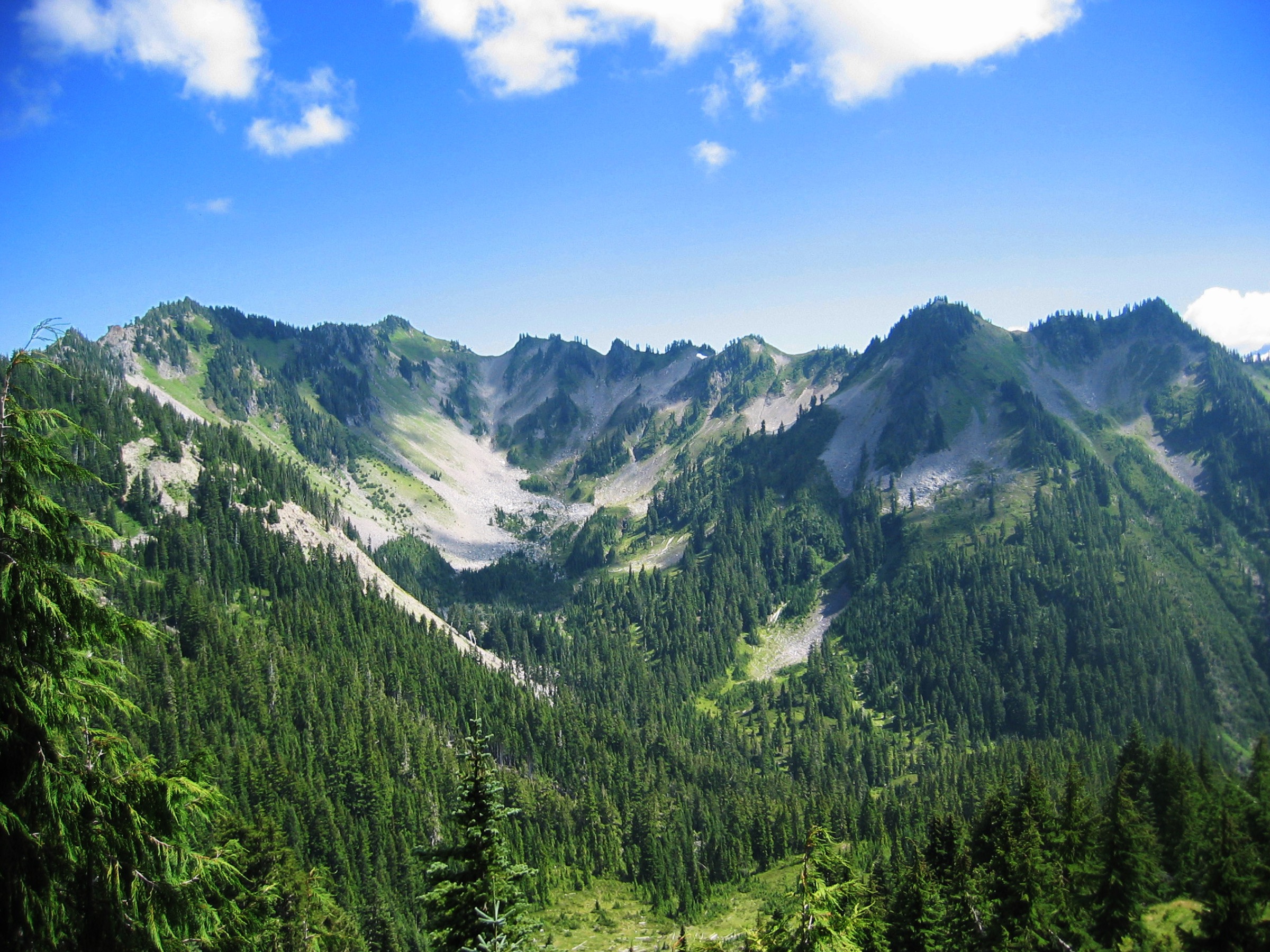
Bogachiel Peak is the specific summit at the western end of the High Divide, dropping steeply south into the Hoh drainage and marking the corner where the Bogachiel, Hoh and Sol Duc rivers all take their headwaters. The standard day-hike approach follows the first arm of the High Divide loop as far as the summit spur, then turns around.
From the Sol Duc trailhead the route runs east along the Sol Duc Falls trail to the footbridge at 1.3 km, turns south on the Canyon Creek Trail and climbs steadily through old-growth hemlock and silver fir to Deer Lake at about 6.4 km (1,140 m). Above the lake the trail continues to climb south-west through open subalpine meadows on the Bogachiel Peak / High Divide alignment, gaining the crest of the ridge with growing views south to Mount Olympus and the Blue Glacier. At the High Divide junction (approximately 11.9 km from the trailhead), a short signed spur breaks left and climbs about 0.3 km to the open Bogachiel Peak summit at approximately 1,555 m. The summit is a compact rock knob with a 360-degree view: Mount Olympus and its glaciers filling the south, the Bailey Range south-east, Seven Lakes Basin dropping steeply north, and the deeply forested Bogachiel valley running west toward the Pacific. Return by the same route.
Why it is essential
Bogachiel Peak is the essential named summit accessible as a day-hike from the Sol Duc side, and provides the same view of Mount Olympus and the Blue Glacier as the High Divide loop with roughly a quarter less distance. For fit parties unable or unwilling to commit to the full Seven Lakes Basin loop as a single day, Bogachiel Peak is the practical way to reach the alpine crest, gain the Olympus view, and return the same way in one long day.
Equipment
- Sturdy hiking boots
- Weatherproof shell — the summit and upper ridge are fully exposed
- Warm layer and hat/gloves for the summit
- 3 L water; filter or treat any stream water
- Sun protection
- Trekking poles for the sustained descent
- Map, compass and downloaded NPS map
- Headtorch — 10-hour days are common
- Ice axe and self-arrest skills before mid-July for the snow flank below the summit
- Microspikes into July for the shaded northern approach
Hazards and notes
- Steep lingering snow on the north-facing approach to Bogachiel Peak into July — the snow slope above Deer Lake can hold ice into early summer
- Full alpine exposure on the summit — turn back at the ridge if lightning or heavy weather threatens
- Wilderness camping permit and bear canister required if converting to an overnight; day walkers do not need permits
- Sol Duc parking fills early; aim for a first-light arrival
- No cellular coverage above the trailhead
- Trail navigation is straightforward but the summit spur is unmarked on some older maps — follow the well-worn use path from the High Divide junction
GPX / KML links
| Source | URL | Format | Notes |
|---|---|---|---|
| NPS — High Divide Loop | nps.gov | Official page | Bogachiel Peak spur described in the loop context |
| WTA — Seven Lakes Basin | wta.org | Trail database | Distance and gain for the wider loop |
| Waymarked Trails — High Divide segments | hiking.waymarkedtrails.org | OSM route relations | Trail segments mapped in OSM |
Sources
- NPS — High Divide Loop (7 Lakes Basin)
- WTA — High Divide / Seven Lakes Basin Loop
- Wikipedia — Bogachiel Peak
4. Appleton Pass from the Sol Duc
Photo status: No licence-compatible image found in this pass.
Snapshot
Itinerary
Since the Elwha-side approach via Olympic Hot Springs Road has been closed to vehicles for years by successive flood washouts, the practical day-hike to Appleton Pass now runs from the Sol Duc trailhead. From the trailhead the route follows the Sol Duc Falls trail east to the footbridge at 1.3 km, then joins the Sol Duc River Trail south, following the river upstream through old-growth hemlock and past the Deer Lake and Bridge Creek junctions. At about 8.4 km the signed Appleton Pass Trail branches right and begins a long, sustained climb north-east through subalpine parkland and open meadow bowls, gaining the pass at approximately 11.9 km from the trailhead. The pass itself is a broad saddle at about 1,555 m between the Sol Duc and Boulder Creek drainages, with views south to the summit horns of Mount Olympus and north across the Boulder Creek basin toward Cat Peak. Return by the same route.
An Elwha-side variant from the Madison Falls parking area — 8+ km of closed road walk plus the traditional Appleton Pass trail — is theoretically possible but pushes the round-trip beyond a normal day at roughly 32 km. It is not recommended as a day-hike while the road remains closed.
Why it is essential
Appleton Pass is the classic interior pass day-hike of the western Olympics — a genuine alpine saddle with a direct view of Mount Olympus and the option to continue north on the Boulder Creek trail into what is normally a two- or three-day loop. As a day-hike it is the essential pass walk on the Sol Duc side, and — since the Elwha access is closed — the only practical way for a day walker to reach it. The upper meadow section, with cotton grass, marsh marigolds and glacier lilies in June/July, is one of the finest alpine flower displays in the range.
Equipment
- Sturdy hiking boots
- Weatherproof shell — the upper pass is exposed to Pacific weather
- Warm layer and hat/gloves for the summit even in July
- 3 L water; filter or treat any stream water
- Sun protection
- Trekking poles for the descent
- Map, compass and downloaded NPS map
- Headtorch — a full-day out-and-back finishes near dark
- Ice axe and self-arrest skills before mid-July for the steep snow flank below the pass
- Bear canister if extending into an overnight (mandatory across the Sol Duc quota area)
Hazards and notes
- Steep lingering snow on the north-east approach into July — cornices can persist above the pass
- The Elwha-side trailhead (Madison Falls) is now the closed-road walk start; the Sol Duc approach is significantly longer than the historic Elwha figure of 7.7 mi
- Sol Duc parking fills early
- No cellular coverage above the trailhead
- Wilderness camping permit and bear canister required for overnight
- Water is available at several stream crossings until August; pack extra by late season
GPX / KML links
| Source | URL | Format | Notes |
|---|---|---|---|
| NPS — Appleton Pass Trail | nps.gov | Official page | Sol Duc distance 7.4 mi one way; elevation range 2,000–5,100 ft |
| WTA — Appleton Pass | wta.org | Trail database | Currently describes the Madison Falls (Elwha) approach due to Olympic Hot Springs Road closure |
| Waymarked Trails — Appleton Pass Trail | hiking.waymarkedtrails.org | OSM route relations | Trail segments mapped in OSM |
Sources
5. Hoh River Trail to Five Mile Island
Snapshot
Itinerary
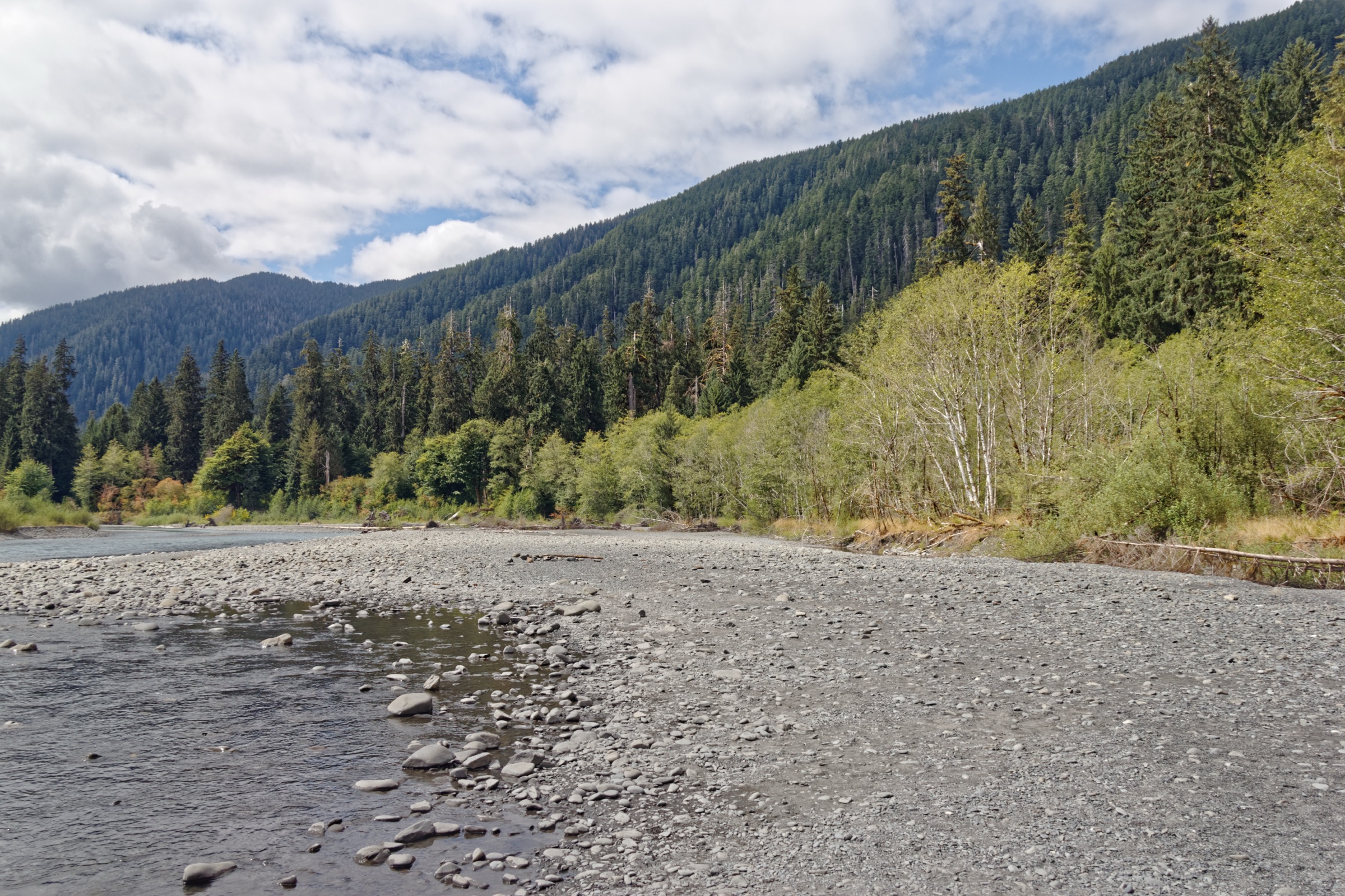
The Hoh River Trail leaves the Hoh Visitor Center at the end of Upper Hoh Road and follows the north bank of the Hoh River east into the range, moving through what may be the most concentrated cathedral of Sitka spruce, western hemlock and bigleaf maple in North America — the classic temperate rainforest of the Olympic Peninsula. The trail is nearly flat for the first 13 miles / 21 km of its total length, gaining only 60–90 m in the first 5 miles to Five Mile Island, and passes through several distinct forest stands including the Hall of Mosses corridor and the older-growth cathedral beyond Mineral Creek.
Five Mile Island itself is a large gravel bar in the river channel, reached at approximately 8.5 km from the trailhead, with an open braided-river landscape and — on clear days — views south-east up the valley toward Bogachiel Peak and the western outliers of the Mount Olympus massif. It is a natural lunch spot and the standard turnaround for a day-hike; the trail continues another ~14 km east to Olympus Guard Station, Elk Lake and eventually Glacier Meadows and the Blue Glacier moraine at 27.4 km (17.4 mi) — country that is emphatically not a day-hike from the Hoh trailhead.
The trail is fully accessible to competent walkers of any age; children and older walkers regularly complete the round-trip. Bicycles are not permitted. The route is the classic west-side valley approach to Mount Olympus — the standard mountaineering route to the summit follows this same path all the way to Glacier Meadows before turning onto the Blue Glacier for the roped alpine ascent.
Why it is essential
The Hoh River Trail is the great west-side valley approach into the High Olympics — the classic entry to the range from Mount Olympus’s Pacific-facing rainforest side. As a day walk to Five Mile Island it delivers the essential temperate rainforest experience of the Olympic Peninsula in a flat, low-elevation trail that is walkable year-round, without ever approaching alpine terrain. It is the natural companion piece to the Sol Duc / High Divide alpine walks, giving a genuine sense of the scale of the mountain from below.
Equipment
- Hiking shoes or lightweight boots — the trail is well-graded but muddy in the wet months
- Weatherproof shell (essential — Hoh rainfall exceeds 3,500 mm per year)
- Warm layer
- 1.5–2 L water; filter or treat river water if extending
- Sun protection (surprisingly bright on the gravel bars)
- Trekking poles helpful for muddy sections
- Map, compass or offline GPS
- Bear-aware food handling — Hoh valley bears are habituated to visitors
- Insect repellent in June/July
Hazards and notes
- Muddy in the wet months (October–May); the trail can flood in extreme events
- Roosevelt elk are common in the valley; keep a respectful distance
- Bear activity is routine — do not leave food unattended at trail junctions or campsites
- Upper Hoh Road is a mixed-jurisdiction corridor; road conditions can be affected by winter storms
- The Hoh Visitor Center parking fills by mid-morning on peak summer weekends; a first-light arrival is common
- Cellular coverage is absent above the visitor center
- Timed entry or vehicle reservations have not applied to the Hoh in past seasons but should be verified with NPS for 2026
GPX / KML links
| Source | URL | Format | Notes |
|---|---|---|---|
| NPS — Hoh River Trail | nps.gov | Official page | Full trail description to Glacier Meadows |
| WTA — Hoh River | wta.org | Trail database | Five Mile Island turnaround stats |
| Waymarked Trails — Hoh River Trail | hiking.waymarkedtrails.org | OSM route relations | Trail mapped in OSM |
Sources
Missing data / follow-up work
- Appleton Pass — no licence-compatible photo: no Wikimedia Commons or Flickr Creative Commons image of Appleton Pass itself could be found in this pass; the section carries a
Photo status: No licence-compatible image found in this pass.note. A future pass should try to source a Flickr CC image of the pass meadows in July or August. - High Divide loop distance and gain — genuine source discrepancy: NPS gives 18.2 mi / 3,050 ft; WTA gives 19.0 mi / 4,000 ft. The difference reflects whether the drop into and out of Seven Lakes Basin (and the specific Bogachiel Peak spur) is counted. Both figures are cited inline.
- Olympic Hot Springs Road / Elwha access: the road remains closed to vehicles beyond Madison Falls, as it has been since the 2016 washout, with no timetable published for reopening. Boulder Lake and the Elwha-side Appleton Pass approach are effectively not day-feasible in the 2026 season. Verify status with NPS current road conditions before travel.
- Sol Duc Road 2026 season: normally-plowed all-season road but subject to storm closures. Sol Duc Hot Springs Resort typically operates late March through late October — verify 2026 dates.
- Wilderness camping quotas: 1 May – 30 September quota season for the Sol Duc / Seven Lakes Basin area; day walkers do not need permits but overnight parties for High Divide should book well in advance on recreation.gov.
- Timed entry / vehicle reservations: NPS has not applied timed entry to Olympic National Park in past years, but verify with NPS for the 2026 summer season, particularly for the Hoh corridor which sees the highest visitor pressure.
- Bogachiel Peak stats: elevation, spur distance and gain from the High Divide junction are widely reported in trip-report form but not in official park stats; the article uses cross-checked WTA/NPS figures with the acknowledgement that the summit spur itself is not officially quantified.
Further reading
| Source | URL |
|---|---|
| NPS — Olympic National Park | nps.gov/olym |
| NPS — Visiting the Sol Duc Valley | nps.gov |
| NPS — High Divide Loop (7 Lakes Basin) | nps.gov |
| NPS — Hoh River Trail | nps.gov |
| NPS — Appleton Pass Trail | nps.gov |
| NPS — Wilderness camping permits | nps.gov |
| NPS — Current road conditions | nps.gov |
| Washington Trails Association | wta.org |
| WTA — Sol Duc Falls | wta.org |
| WTA — High Divide / Seven Lakes Basin | wta.org |
| WTA — Appleton Pass | wta.org |
| WTA — Hoh River | wta.org |
| Waymarked Trails — hiking | hiking.waymarkedtrails.org |
| Recreation.gov — Olympic wilderness permits | recreation.gov |