Regional overview
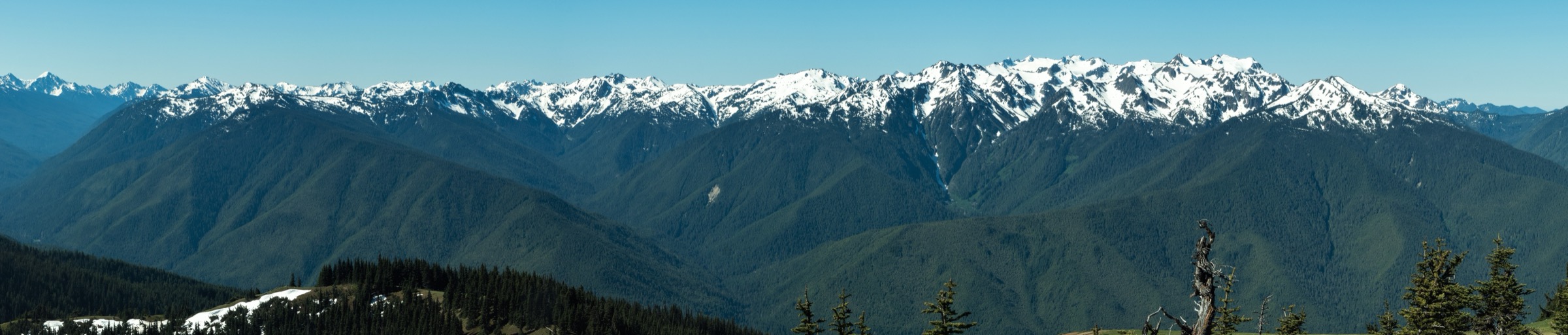
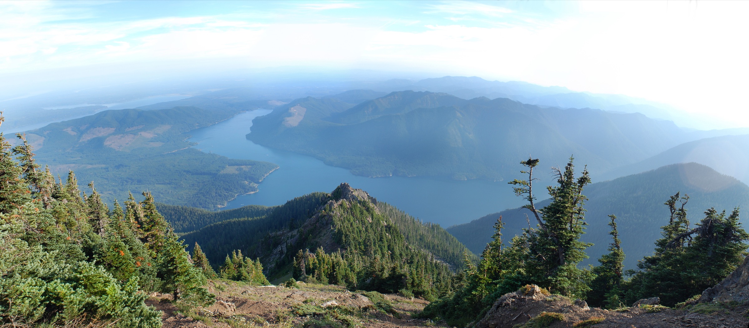
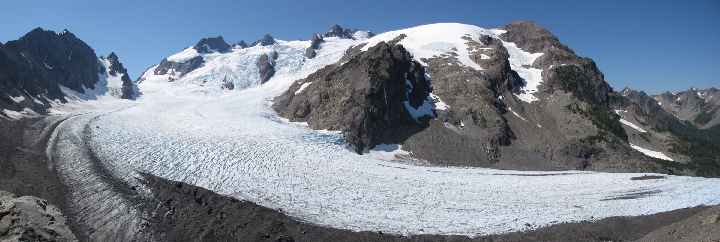
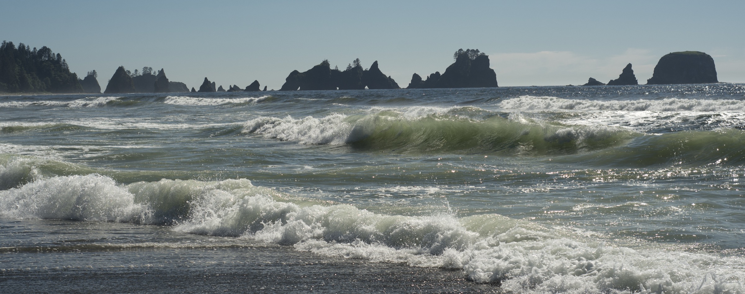
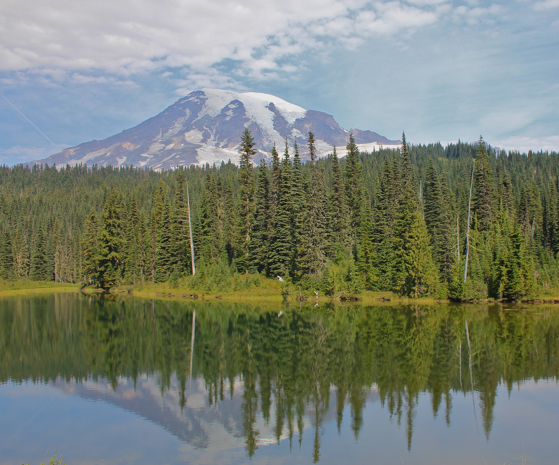
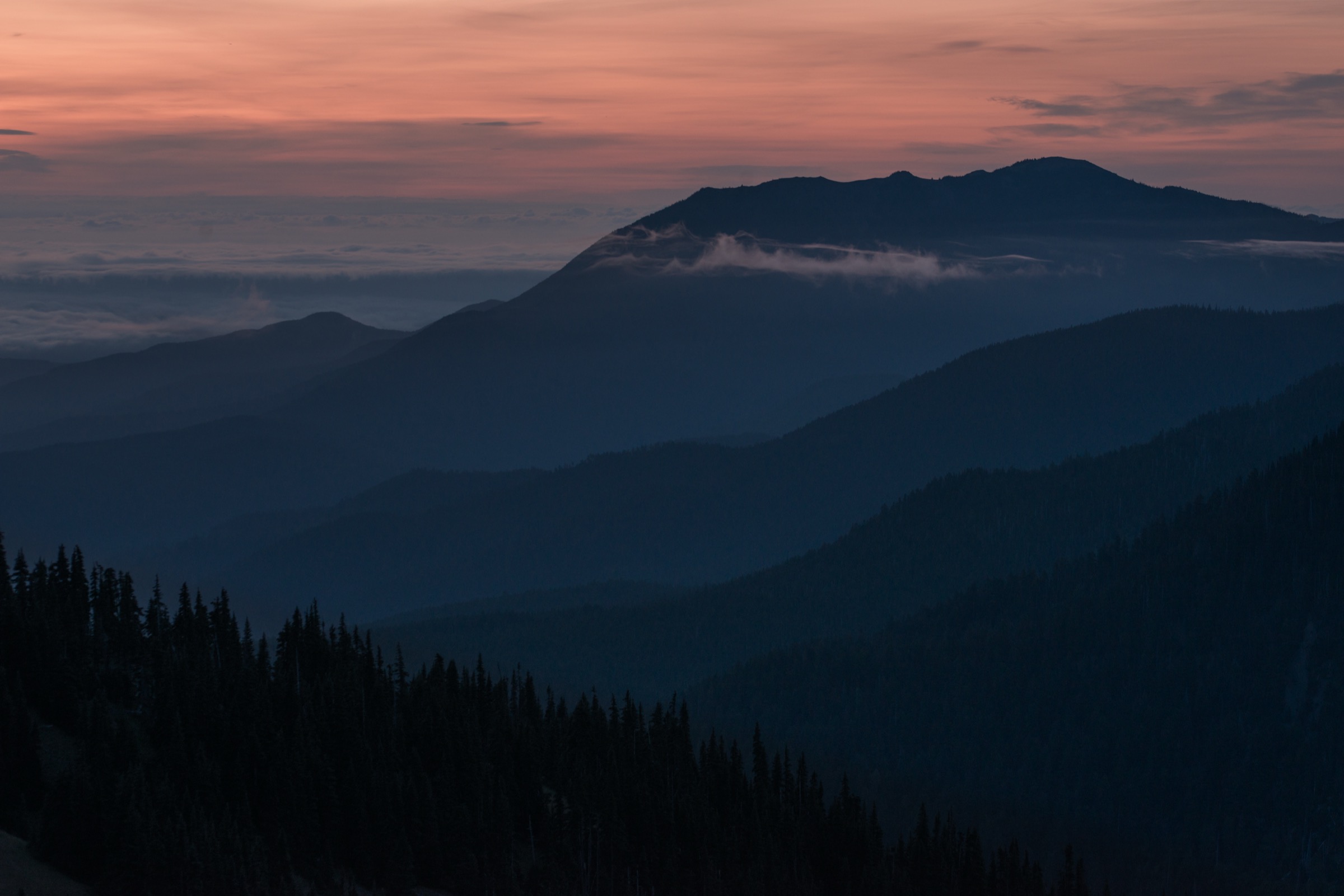
The northern Olympic Mountains are the closest to the sea and the closest to Seattle of any range in the Pacific Northwest — a compact, glacier-carved crest that rises straight from Puget Sound and the Strait of Juan de Fuca to nearly 2,000 m within a horizontal distance of barely 30 km. This is Olympic National Park at its most accessible: an 27 km paved drive from the Port Angeles ferry terminal delivers walkers to Hurricane Ridge at 1,600 m, where a network of short trails, ridge walks, summit scrambles and lake basin routes fans out across the subalpine meadows of the Elwha and Lillian drainages. The rain shadow effect from Mount Olympus keeps this side of the range about half as wet as the west-side rainforest, and the meadows here bloom in a wildflower flush from early July into August that draws walkers from across the region.
The main hiking centres are Port Angeles on the Strait of Juan de Fuca — the gateway town for ferries from Victoria, British Columbia, and the closest services to every trailhead in this article — the Hurricane Ridge complex at the end of Hurricane Ridge Road, the Obstruction Point trailhead 12.5 km east of Hurricane Ridge at the end of a narrow gravel road, and Deer Park at the head of the 27 km Deer Park Road above Blyn on US-101. Three roads shape the day-hike menu here: Hurricane Ridge Road, paved and open year-round (with winter operations reduced to Friday–Sunday plus certain holidays); Obstruction Point Road, an 12.5 km unpaved single-lane road along the crest of Lillian Ridge, typically open from late June or early July into October depending on snowpack; and Deer Park Road, a 27 km gravel mountain road climbing to Blue Mountain at nearly 1,850 m, also open only in the summer months.
Access status changed materially in May 2023 when the Hurricane Ridge Day Lodge — the visitor centre, food service and warming hut for both winter and summer users — burned to the ground in an overnight fire. As of the 2026 season the lodge has not been rebuilt; the National Park Service operates a temporary trailer visitor contact station and portable restrooms in the parking area, and the reconstruction project remains in planning. There is no indoor shelter at Hurricane Ridge and no indoor food service; walkers must self-provision from Port Angeles. The main road is closed on weekdays (Monday–Thursday) for several weeks after Memorial Day 2026 for utility and water-system work — plan on weekends during June — and construction impacts to meadow trails continue through July and August. No timed-entry reservation system is in place at Hurricane Ridge for the 2026 season, but the standard entrance fee (US$30 per vehicle for a 7-day pass, or the annual America the Beautiful pass) applies at the ranger station on the way up. Verify current road status via the Hurricane Ridge NPS X/Twitter feed and the park’s road-conditions page before travel.
The dry-hike season for the alpine routes here runs from mid-July, once the north-side snow patches clear on Grand Ridge and the switchbacks below Klahhane, through late September and into early October. Snow can linger in shaded gullies below Klahhane and on the north-facing scree below Mount Angeles into August in heavy years, and the summit scramble on Angeles is a genuine Class 3 rock route that should not be attempted with snow on the upper slabs. Weather on Hurricane Ridge changes fast — the ridge sits at exactly the boundary between the Pacific storm track and the Olympic rain shadow, and marine cloud can spill over the crest from the Strait in minutes even when the interior is clear. Cell coverage is patchy at the Hurricane Ridge parking area, absent along Obstruction Point Road and on the trails themselves.
Hazards are typical of a low-latitude alpine range: exposed ridge sections above 1,700 m, thunderstorm risk on hot afternoons, snowfields lingering into midsummer on north-facing aspects, and scree-and-scramble terrain on the summit routes. Wildlife is the second family of hazards: the Olympic marmot (endemic to the range) is common in the meadows and generally habituated, but black bears are seen every summer in the Grand Valley and along the Deer Park approach, and mountain goats — historically translocated to the Olympics from the Cascades in the 1920s — were largely removed in a 2018–2020 helicopter capture programme, so persistent goat encounters on Klahhane Ridge and Mount Angeles are now rare but not impossible. Dogs are prohibited on all national-park trails covered here. Public transport is limited: the Clallam Transit “Strait Shot” bus links Bainbridge Island / Seattle-area ferry terminals to Port Angeles, and a summer shuttle from Port Angeles to Hurricane Ridge has operated in some past seasons but its 2026 status should be confirmed with the park before travel.
Selection rationale
The five walks below cover the essential experiences from the roads out of Port Angeles. Hurricane Hill is the archetypal Hurricane Ridge short walk — paved for its first stretch, family-friendly, and delivering the classic panorama across the Bailey Range and Mount Olympus. Klahhane Ridge via the Switchback Trail is the shortest way onto the alpine crest above the Ridge, and the standard approach for a big-view half-day. Mount Angeles adds a genuine Class 3 summit scramble to the same trailhead and answers the question of what to do on a clear, dry afternoon with a competent party. Grand Valley from Obstruction Point drops off Lillian Ridge into the finest lake basin in the northern Olympics — Grand, Moose and Gladys lakes strung along a subalpine meadow at 1,450 m — and delivers the region’s finest wildflower walk. Grand Ridge from Deer Park is the longest and highest of the standard traverses, running the crest of the range at over 1,900 m from Deer Park to Obstruction Point, and gives a full alpine day at the highest continuous trail elevation in the Olympics. Blue Mountain and Sunrise Ridge are noted in the follow-up section as strong alternates.
Summary table
| # | Hike | Country | Route type | Distance | Gain | Max elevation | Difficulty |
|---|---|---|---|---|---|---|---|
| 1 | Hurricane Hill | USA | Out-and-back | ~5.1–5.3 km (~3.2 mi) | ~245 m | 1,758 m | Easy–moderate |
| 2 | Klahhane Ridge via Switchback Trail | USA | Out-and-back | ~8.0 km (~5.0 mi) | ~520 m | ~1,845 m | Moderate–strenuous |
| 3 | Mount Angeles via Switchback Trail | USA | Out-and-back | ~10.0 km (~6.2 mi) | ~615 m | 1,967 m | Strenuous, Class 3 scramble |
| 4 | Grand Valley from Obstruction Point (Grand, Moose, Gladys lakes) | USA | Out-and-back | ~13.2 km (~8.2 mi) | ~760 m | 1,890 m | Strenuous |
| 5 | Grand Ridge — Deer Park to Obstruction Point traverse | USA | Point-to-point | ~12.1 km (~7.5 mi) one-way; ~24 km (~15 mi) return | ~215 m one-way / ~945 m return | 2,020 m | Strenuous |
1. Hurricane Hill
Snapshot
Itinerary
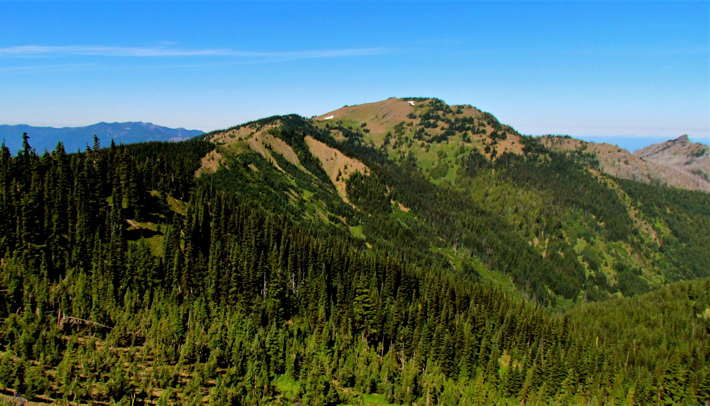
The Hurricane Hill Trail leaves the parking area at the end of Hurricane Hill Road (paved, 2.4 km beyond the main Hurricane Ridge parking) and immediately climbs an exposed subalpine meadow ridge on a paved surface that is largely wheelchair-accessible for the first 400 m. Beyond that first section the trail narrows to a wide gravel path and climbs steadily through krummholz and open flower meadow, with growing panoramas east across the Bailey Range and south to Mount Olympus and its glaciers. A signed junction at about 1.5 km marks the Elwha spur (a longer point-to-point down the north side to Whiskey Bend) — the day-walker route continues straight on the wide summit ridge. The final 800 m climb a rocky path onto the open summit dome at 1,758 m, marked by an interpretive sign and small rock cairn.
From the top the view runs south across the entire High Olympics massif, west across the Elwha canyon to Mount Carrie and the Bailey Range, north-west to Vancouver Island and the Strait of Juan de Fuca, and east along the Hurricane Ridge crest back to Klahhane Ridge and Mount Angeles. Return by the same route.
Why it is essential
Hurricane Hill is the archetypal Olympic subalpine walk — short enough for any fit visitor, high enough for a full alpine panorama, and paved for its first section so that families and less-mobile walkers can share the meadow. In July and August the wildflower display along the ridge is among the best in the range: paintbrush, lupine, phlox, glacier lilies, and avalanche lily in a compressed subalpine flush. The trail is the standard first walk for park visitors and remains the region’s introduction to what the Olympics offer.
Equipment
- Standard hiking shoes or trail runners
- Weatherproof shell — the ridge is fully exposed to marine cloud that spills over from the Strait
- Warm layer — the summit is exposed and can be 10 °C cooler than Port Angeles
- 1.5 L water — no reliable source on the ridge
- Sun protection — the meadow has no cover
- Trekking poles helpful but not required
- Map and downloaded NPS Olympic map
- Microspikes for the shoulder season (June and October)
Hazards and notes
- Weather turns fast — marine cloud can spill over the ridge in minutes
- Exposure on the upper ridge in wind and lightning; turn back below the summit if a storm builds
- Wildflower meadow is fragile — stay on the trail
- Do not feed marmots or deer, which are habituated to human food and pose a nuisance to walkers
- Dogs are prohibited on all national-park trails
- Parking at the Hurricane Hill trailhead fills by mid-morning on peak summer weekends; overflow forces walkers to start from the main Hurricane Ridge lot (adds ~2.4 km each way)
- Cell coverage is patchy at the Hurricane Ridge lot, absent on the trail
GPX / KML links
| Source | URL | Format | Notes |
|---|---|---|---|
| NPS Olympic National Park — Hurricane Hill Trailhead | nps.gov | Official page | No official GPX published; park map PDF available |
| Waymarked Trails — Olympic routes | hiking.waymarkedtrails.org | OSM route relations | Hurricane Hill Trail segment mapped in OSM; GPX exportable via the relation |
| AllTrails — Hurricane Hill via Hurricane Ridge | alltrails.com | Third-party track | Do not redistribute AllTrails GPX without licence confirmation |
Sources
- NPS Olympic National Park — Hurricane Hill Trailhead
- NPS Olympic National Park — Visiting Hurricane Ridge
- NPS Olympic National Park — Current Road Conditions
2. Klahhane Ridge via the Switchback Trail
Snapshot
Itinerary
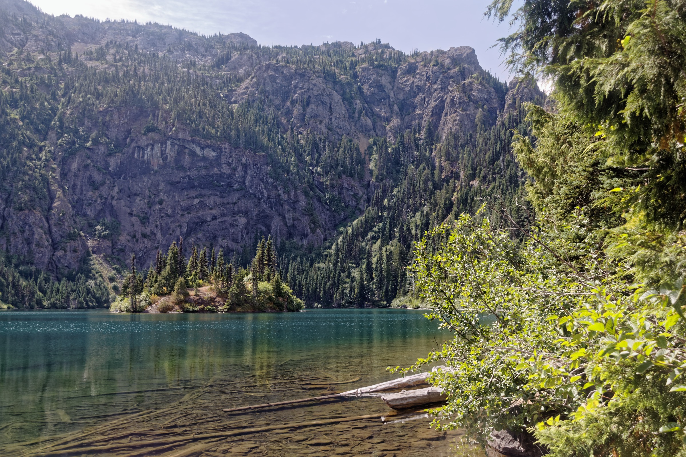
The Switchback Trail leaves a small pull-off on the north side of Hurricane Ridge Road about 1.6 km below the main Hurricane Ridge parking area and climbs steeply — as its name promises — through a series of tight switchbacks in the subalpine forest of mountain hemlock and Alaska yellow-cedar. The trail gains 460 m in the first 2.4 km, breaks out of the forest into a series of open meadow shelves, and reaches Klahhane Ridge proper at a signed junction after about 2.5 km from the road. The panorama opens northward across the Strait of Juan de Fuca to Vancouver Island, west along the Hurricane Ridge crest, and south into the interior Olympic peaks.
Beyond the junction the ridge trail continues east and north-east toward Victor Pass (about 1.5 km further, with an added ~60 m of climb), where the trail traces narrow sections blasted out of the north face of the ridge — a genuinely exposed section with a considerable drop. Turnaround at the ridge top delivers a 5.0 mi round-trip; continuing to Victor Pass and back adds about 3 km. The Klahhane Ridge Trail continues from Victor Pass down to Lake Angeles in the Heart of the Hills drainage — a full traverse from the Switchback trailhead to Lake Angeles ends at the Lake Angeles Trailhead (a car shuttle route of roughly 10 km one-way, longer and more strenuous). Return by the same route to the Switchback lot.
Why it is essential
Klahhane Ridge is the standard alpine ridge walk of the northern Olympics — the shortest way to walk from the road to an open subalpine crest with a big panorama. The Switchback Trail is the steep direct approach, and the ridge itself is the obvious next step for any walker who has done Hurricane Hill and wants a bigger day. In late July the ridge meadows carry a compressed wildflower flush; mountain goats were formerly common here but were largely removed in the 2018–2020 helicopter capture programme.
Equipment
- Sturdy hiking boots or trail shoes with grip for scree
- Weatherproof shell — the ridge is fully exposed
- Warm layer for the exposed crest even mid-summer
- 2 L water — no source on the ridge
- Sun protection — the upper meadow has no cover
- Trekking poles for the steep descent
- Map and downloaded NPS Olympic map
- Microspikes into mid-July for lingering snow on north-facing sections above Victor Pass
Hazards and notes
- Steep switchbacks with loose scree in places; descent is harder on the knees than the ascent is on the lungs
- Exposed narrow sections above Victor Pass — do not attempt with lingering snow on the traverse
- Rapid weather changes on the crest — marine cloud spills over from the Strait in minutes
- Thunderstorm risk on hot afternoons; the ridge is fully exposed
- Dogs prohibited on all park trails
- Parking at the small Switchback pull-off fills early; overflow lines the road shoulder on peak weekends
- Cell coverage absent on the trail
GPX / KML links
| Source | URL | Format | Notes |
|---|---|---|---|
| Washington Trails Association — Klahhane Ridge | wta.org | Official trail description | No downloadable GPX; sketch map only |
| Waymarked Trails — Olympic routes | hiking.waymarkedtrails.org | OSM route relations | Switchback / Klahhane Ridge Trail mapped in OSM |
| AllTrails — Klahhane Ridge via Switchback Trail | alltrails.com | Third-party track | Do not redistribute AllTrails GPX without licence confirmation |
Sources
- Washington Trails Association — Klahhane Ridge
- NPS Olympic National Park — Visiting Hurricane Ridge
- ProTrails — Klahhane Ridge via Hurricane Ridge
3. Mount Angeles via the Switchback Trail
Snapshot
Itinerary
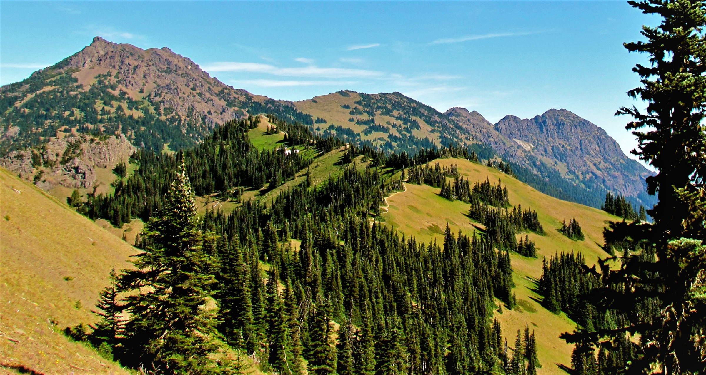
The Switchback Trail is the same steep 2.4 km approach as for Klahhane Ridge; at the ridge junction turn left (east) onto the Klahhane Ridge Trail and follow it around the north side of the summit block toward the Mount Angeles saddle. From the saddle at about 1,750 m an unmaintained climbers’ path breaks up and left onto the Mount Angeles summit block. The final ~150 m of climb is a Class 3 scramble up loose scree, fractured basaltic rock, and exposed ridge sections; several published route descriptions warn that the trail is hard to follow, the rock is loose, and the drop-offs are considerable. The true summit at 1,967 m is a small rock platform with 360-degree views to Vancouver Island, the Strait of Juan de Fuca, the Cascades in the east and the interior Olympic peaks in the south.
An alternative approach uses the Sunrise Ridge Trail from the main Hurricane Ridge parking area — a longer and steeper route through the Sunrise picnic area that meets the same summit scramble from the south-west; the Sunrise variant is about 9 km return with ~700 m of gain, but the summit scramble itself is unchanged. Return by the same route in both cases.
Why it is essential
Mount Angeles is the highest summit on the north Olympic crest that can be attempted as a competent-party day hike from Hurricane Ridge. Its sharp horn-like summit block is the visual signature of the drive up from Port Angeles, and the Class 3 scramble to the true summit is the classic non-technical highpoint challenge of the northern Olympics. It should only be attempted by parties comfortable with route-finding on loose Class 3 rock; anyone unsure should stop at the Klahhane Ridge junction and enjoy the same panorama without the scramble.
Equipment
- Sturdy hiking boots with good grip on rock
- Weatherproof shell
- Warm insulating layer for the summit
- 2.5 L water — no source on the ridge
- Sun protection
- Trekking poles for the descent below the summit block
- Helmet strongly recommended for the summit scramble — the rock is loose and rockfall from parties above is a real hazard
- Map, compass and downloaded NPS map — the summit route is unmarked and the ridge has no cairns above the last trail sign
- Do not attempt with snow on the summit slabs
Hazards and notes
- The summit scramble is off-trail, unmaintained, and includes Class 3 sections with meaningful exposure — Class 3 in the standard American rating means hands are needed and a fall would be serious
- Loose scree and rockfall are the dominant hazards on the summit block; a helmet is strongly recommended
- Turnaround discipline required — many parties reach the base of the scramble and reasonably decide to turn back
- The Switchback Trail approach shares the same wet-weather and lightning risk as the Klahhane Ridge route
- Do not descend the summit block by a different route — several published trip reports describe loose gullies that end at cliffs
- Dogs prohibited on all park trails
- Cell coverage absent on the summit
GPX / KML links
| Source | URL | Format | Notes |
|---|---|---|---|
| Washington Trails Association — Mount Angeles | wta.org | Official trail description | No official GPX; sketch map only |
| Waymarked Trails — Olympic routes | hiking.waymarkedtrails.org | OSM route relations | Klahhane Ridge Trail mapped; final summit scramble not mapped |
| AllTrails — Mount Angeles via Switchback Trail | alltrails.com | Third-party track | Do not redistribute AllTrails GPX without licence confirmation |
Sources
- Washington Trails Association — Mount Angeles
- NPS Olympic National Park — Visiting Hurricane Ridge
- 10Adventures — Mount Angeles via Switchback Trail
4. Grand Valley from Obstruction Point (Grand, Moose and Gladys lakes)
Photo status: No licence-compatible image found in this pass.
Snapshot
Itinerary
From the Obstruction Point parking area — a small dirt lot at 1,860 m at the end of a narrow 12.5 km gravel road along the crest of Lillian Ridge — the Grand Pass Trail (also signposted as Lillian Ridge Trail at the start) sets off south along the open subalpine crest. The first 1.5 km climbs slightly onto the ridge to about 1,890 m with immediate 360-degree views: Mount Olympus and the Bailey Range south-west, the Cascades east, the Strait of Juan de Fuca north, and the Grand Valley bowl opening below to the south-east. From the ridge shoulder the trail begins its long steady descent through open meadow, dwarf conifer and finally subalpine forest, dropping 430 m over 3.6 km to reach Grand Lake at 1,449 m.
Beyond Grand Lake the trail passes the Badger Valley junction and continues south through the valley floor to Moose Lake (approximately 700 m further, at ~1,450 m) and then to Gladys Lake (a further 1.9 km beyond Moose). The lake string threads through subalpine meadow, tarns and small stream crossings — the finest wildflower valley of the northern Olympics, with paintbrush, lupine, glacier lily and heather blooming in a compressed July flush. Marmots are common, black bear tracks are occasionally seen, and the endemic Olympic marmot is often visible near Moose Lake.
The classic day return is Obstruction Point → Grand Lake → Moose Lake and back, roughly 13 km with a punishing 430 m climb on the return leg. A more scenic loop uses the Badger Valley Trail from Grand Lake back to Obstruction Point via a lower drainage — roughly 12–13 km total with slightly less descent but a longer overall day. Return by the reverse of the ascent.
Why it is essential
Grand Valley is the most complete lake basin walk in the northern Olympics — three subalpine lakes strung along a single meadow valley, all reached in a single day from the highest paved-and-gravel trailhead in the range. The Lillian Ridge crest is arguably the finest short ridge in Olympic National Park, and the descent into Grand Valley delivers what many local guidebooks describe as the region’s best wildflower display. It cannot be attempted before Obstruction Point Road opens in late June or early July, and the climb back out from the lakes to the trailhead is the sting in the tail — plan accordingly.
Equipment
- Sturdy hiking boots
- Weatherproof shell — the ridge is exposed at 1,890 m
- Warm layer for the ridge crest
- 3 L water — filter refill available at Grand or Moose lakes (treat)
- Sun protection — the crest has no cover
- Trekking poles strongly recommended for the return climb
- Map and downloaded NPS Olympic map
- Bear-aware food storage — the Grand Valley is a bear-canister zone for overnight users (day walkers should not leave food unattended)
- Microspikes into mid-July for lingering snow on Lillian Ridge
Hazards and notes
- The return climb from Moose Lake to Obstruction Point is 430 m in 5 km — start early to avoid the afternoon heat and thunder
- Weather on Lillian Ridge changes fast; marine cloud can obscure the trail
- Wilderness permits and bear canisters are required for overnight use in Grand Valley (day walkers exempt); check for current quota status via the park before the trip
- Campfires are prohibited throughout Grand Valley to protect the fragile vegetation
- Dogs prohibited on all park trails
- Obstruction Point Road is narrow, unpaved and unsuitable for RVs or trailers; drive with care and yield to uphill traffic
- Cell coverage absent along the road and in the valley
GPX / KML links
| Source | URL | Format | Notes |
|---|---|---|---|
| NPS Olympic National Park — Grand Valley | nps.gov | Official page | Route description; no downloadable GPX |
| Washington Trails Association — Moose Lake | wta.org | Official trail description | Sketch map only |
| Waymarked Trails — Olympic routes | hiking.waymarkedtrails.org | OSM route relations | Grand Pass Trail mapped in OSM |
| AllTrails — Grand Lake via Badger Valley Trail | alltrails.com | Third-party track | Do not redistribute AllTrails GPX without licence confirmation |
Sources
- NPS Olympic National Park — Grand Valley
- Washington Trails Association — Moose Lake
- Washington Trails Association — Grand Valley via Grand Pass
- ProTrails — Grand Lake, Obstruction Point Trailhead
5. Grand Ridge — Deer Park to Obstruction Point
Snapshot
Itinerary
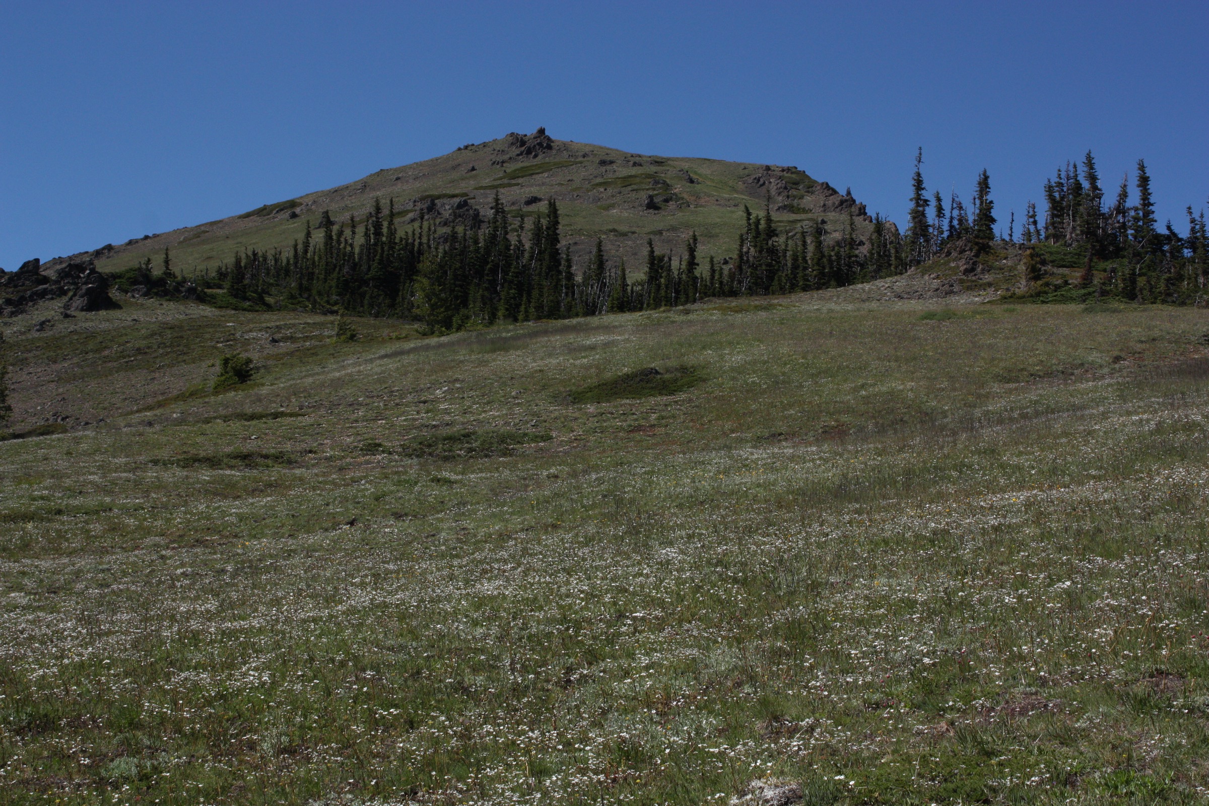
The Grand Ridge Trail is the highest continuous trail in the Olympic Mountains — a 12 km ridge walk between the Deer Park campground at the head of Deer Park Road and the Obstruction Point trailhead at the end of Obstruction Point Road, staying almost entirely above 1,800 m. The classic direction is east-to-west, starting from Deer Park (the shorter and higher approach road), following the ridge west-and-southwest to Obstruction Point, and using a pre-arranged car shuttle at the other end. Done as an out-and-back it becomes one of the more strenuous ridge days in the park at roughly 24 km with nearly 950 m of cumulative gain due to the ridge’s continuous undulation.
From the Deer Park campground at 1,600 m the trail rises immediately to the ridge crest above 1,800 m and then undulates west along an increasingly narrow and exposed alpine ridge. The high point of the day is around 2,020 m (6,625 ft) near the western end of the ridge — the highest continuous trail elevation in the Olympics. The 360-degree view runs from the interior Olympic peaks and Mount Olympus south, the Strait of Juan de Fuca and Vancouver Island north, the Cascades east, and the Bailey Range and Elwha canyon west. There is no reliable water along the crest — carry all you need.
The last section descends across a shallow saddle and rises again to the Obstruction Point parking area at 1,860 m. A lingering high-angle snowfield sits on the north side just east of Obstruction Point and can be dangerous without traction into mid-July; check current conditions with the park before travel.
Reservations are required for the Roaring Winds backcountry campsite at the midpoint of the traverse (about 7 km from Deer Park); this campsite is the only overnight option on the ridge itself, and permits go quickly. Day walkers are unaffected.
Why it is essential
Grand Ridge is the finest sustained alpine ridge walk in Olympic National Park — the only trail in the range that stays continuously above 1,800 m for its full length, and one of the few walks in the northern Cascades / Olympic corridor where a full day is spent almost entirely above treeline on a maintained path. The car-shuttle option converts a demanding out-and-back into a manageable point-to-point traverse; the return-trip option is a long, hard day that pays for itself with the finest north-Olympic panorama available on foot.
Equipment
- Sturdy hiking boots
- Weatherproof shell — full ridge exposure
- Warm layer for the crest even in July
- 3 L water — no reliable source on the ridge
- Sun protection — the ridge has no cover
- Trekking poles for the undulations
- Map, compass and downloaded NPS Olympic map — the ridge is broadly obvious but can be disorienting in cloud
- Microspikes into mid-July for the snowfield east of Obstruction Point
- Headtorch for a late finish
- Pre-arranged car shuttle for the one-way variant
Hazards and notes
- The lingering snowfield on the north side just east of Obstruction Point is a genuine hazard without traction — it has been the site of the ridge’s most significant incidents
- Thunderstorm risk on the fully exposed crest — turn back if a storm builds
- Dogs prohibited on all park trails
- Both Deer Park Road and Obstruction Point Road are narrow, unpaved and slow — allow 45 min from US-101 to Deer Park and 45 min from Hurricane Ridge to Obstruction Point
- Roaring Winds campsite reservations required for overnight use
- No cell coverage on the ridge or either road
- Best done east-to-west (Deer Park → Obstruction Point) for the descending net grade and morning-to-afternoon sun position
GPX / KML links
| Source | URL | Format | Notes |
|---|---|---|---|
| NPS Olympic National Park — Obstruction Point to Deer Park | nps.gov | Official page | Route description; no downloadable GPX |
| Washington Trails Association — Grand Ridge | wta.org | Official trail description | Sketch map only |
| Waymarked Trails — Olympic routes | hiking.waymarkedtrails.org | OSM route relations | Grand Ridge Trail mapped in OSM |
| AllTrails — Obstruction Point / Deer Park Trail | alltrails.com | Third-party track | Do not redistribute AllTrails GPX without licence confirmation |
Sources
- NPS Olympic National Park — Obstruction Point to Deer Park
- Washington Trails Association — Grand Ridge
- The Mountaineers — Grand Ridge (Olympics)
Missing data / follow-up work
- Grand Valley photograph — no licence-compatible image of Grand Lake, Moose Lake or Gladys Lake was found on Wikimedia Commons in this pass; the hike section carries the standard “Photo status: No licence-compatible image found in this pass.” note. A future pass could source from NPS Flickr (public-domain government imagery) or the Olympic National Park media library if reuse terms are clear.
- Hurricane Ridge Day Lodge reconstruction — the 1953 Day Lodge burned in May 2023 and had not been rebuilt as of the 2026 season. Reconstruction planning is under way but no completion date has been announced; walkers should not expect any indoor shelter, food service or ticketed visitor amenities at the ridge in 2026.
- Hurricane Ridge Road weekday closures — Monday–Thursday closures for utility and water-system work were scheduled for several weeks after Memorial Day 2026; walkers travelling in June should plan on weekends only and confirm on the day via the Hurricane Ridge NPS feed or (360) 565-3131.
- Obstruction Point Road 2026 opening date — the road was reported open as of 17 June 2026 in the NPS road-conditions log, but opening is highly snow-dependent and can slip into July in heavy snow years. Confirm before travel.
- Deer Park Road 2026 opening date — reported open as of 9 June 2026. Suitability of the road for lower-clearance vehicles varies with grading; verify current conditions.
- Trailhead shuttle from Port Angeles 2026 — a summer shuttle from Port Angeles to Hurricane Ridge has operated in some past seasons under a park partnership; the 2026 operating status is not confirmed at time of writing and should be verified with the NPS Olympic National Park headquarters.
- Mount Angeles summit rating — the Class 3 scramble is described consistently across sources (Wikipedia, WTA, 10Adventures) but is unmaintained and unmarked at the top; parties should treat the summit block as a serious scramble, not a hiking route.
- Wilderness permits and Grand Valley quotas — day walkers do not need permits, but Grand Valley is a quota area for overnight use with mandatory bear canisters. Verify current quota rules before adding a night at the lakes.
Further reading
| Source | URL |
|---|---|
| NPS Olympic National Park — official park site | nps.gov/olym |
| NPS Olympic National Park — Visiting Hurricane Ridge | nps.gov |
| NPS Olympic National Park — Hurricane Ridge Post-Fire | nps.gov |
| NPS Olympic National Park — Grand Valley | nps.gov |
| NPS Olympic National Park — Obstruction Point to Deer Park | nps.gov |
| NPS Olympic National Park — Current Road Conditions | nps.gov |
| NPS Olympic National Park — Hurricane Ridge Day Lodge Reconstruction | nps.gov |
| NPS Olympic National Park — Deer Park Area Brochure | nps.gov |
| Washington Trails Association — Klahhane Ridge | wta.org |
| Washington Trails Association — Mount Angeles | wta.org |
| Washington Trails Association — Grand Ridge | wta.org |
| Washington Trails Association — Moose Lake | wta.org |
| Washington Trails Association — Lillian Ridge | wta.org |
| Olympic Peninsula tourism — MyOlympicPark | myolympicpark.com |
| Waymarked Trails — Olympic hiking routes | hiking.waymarkedtrails.org |
| Hurricane Ridge NPS (X/Twitter) — road status | twitter.com/hrwinteraccess |