Regional overview
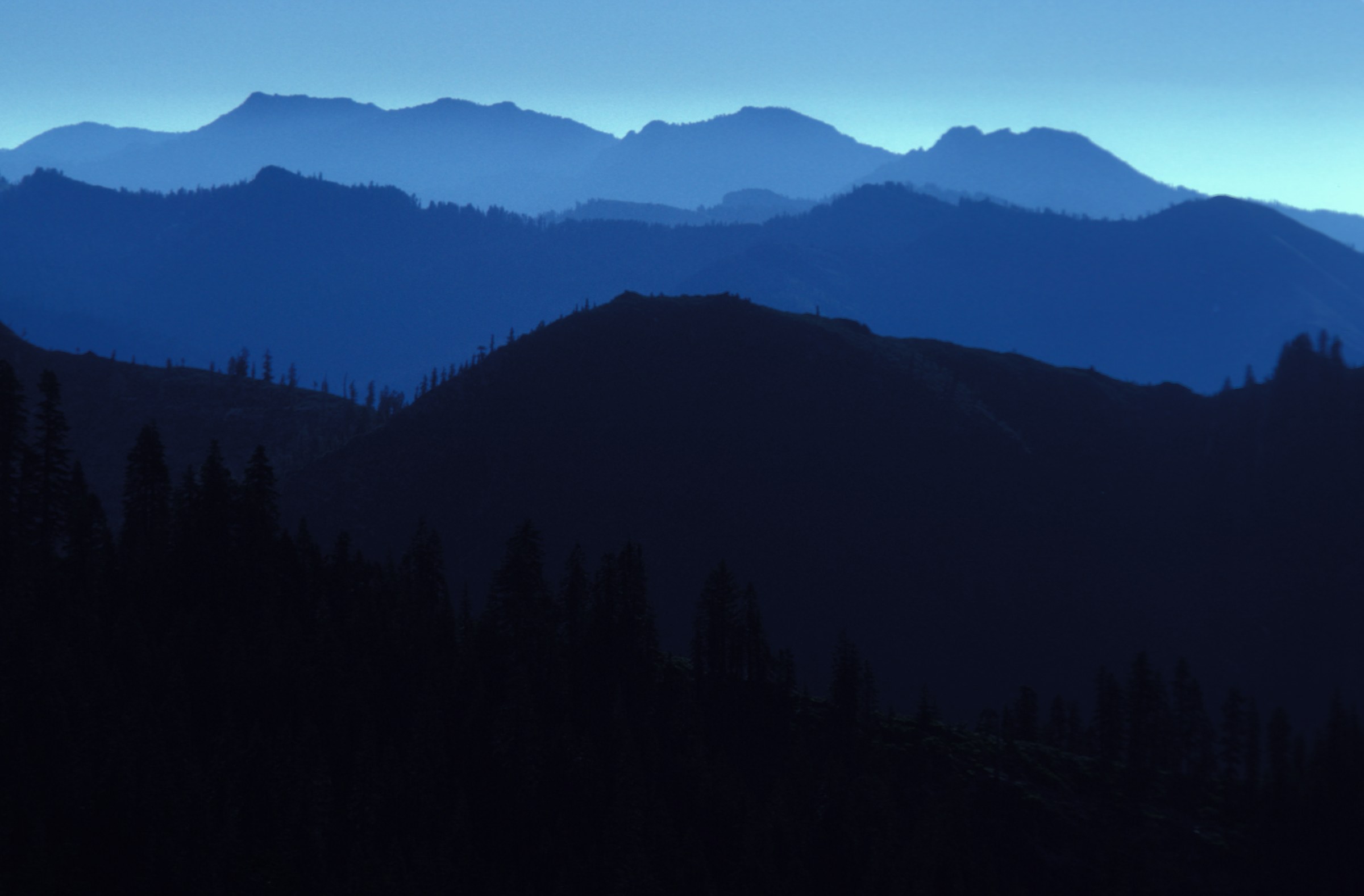
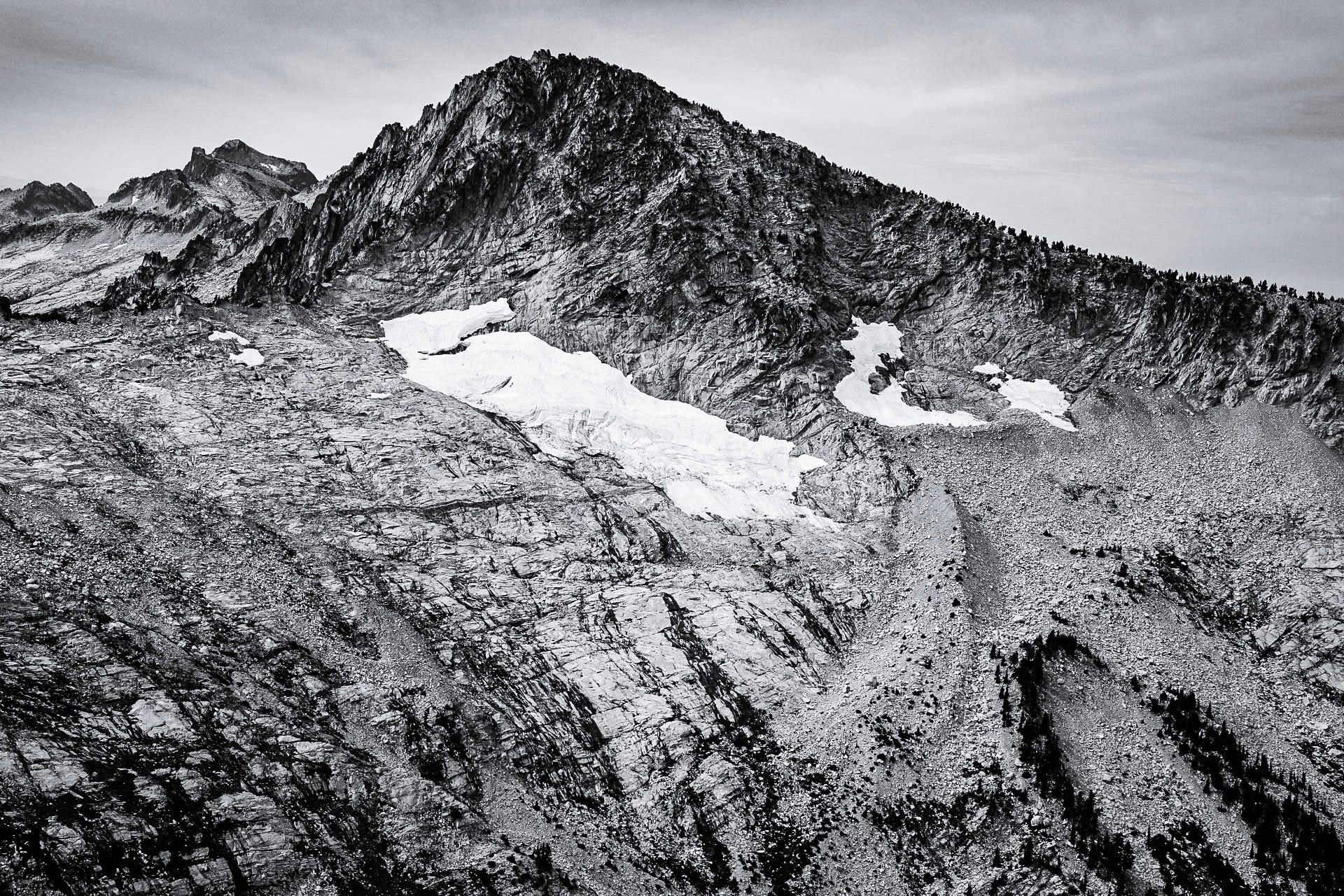
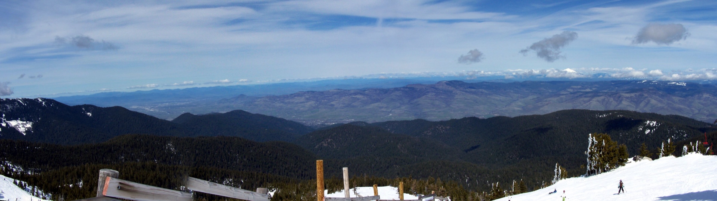
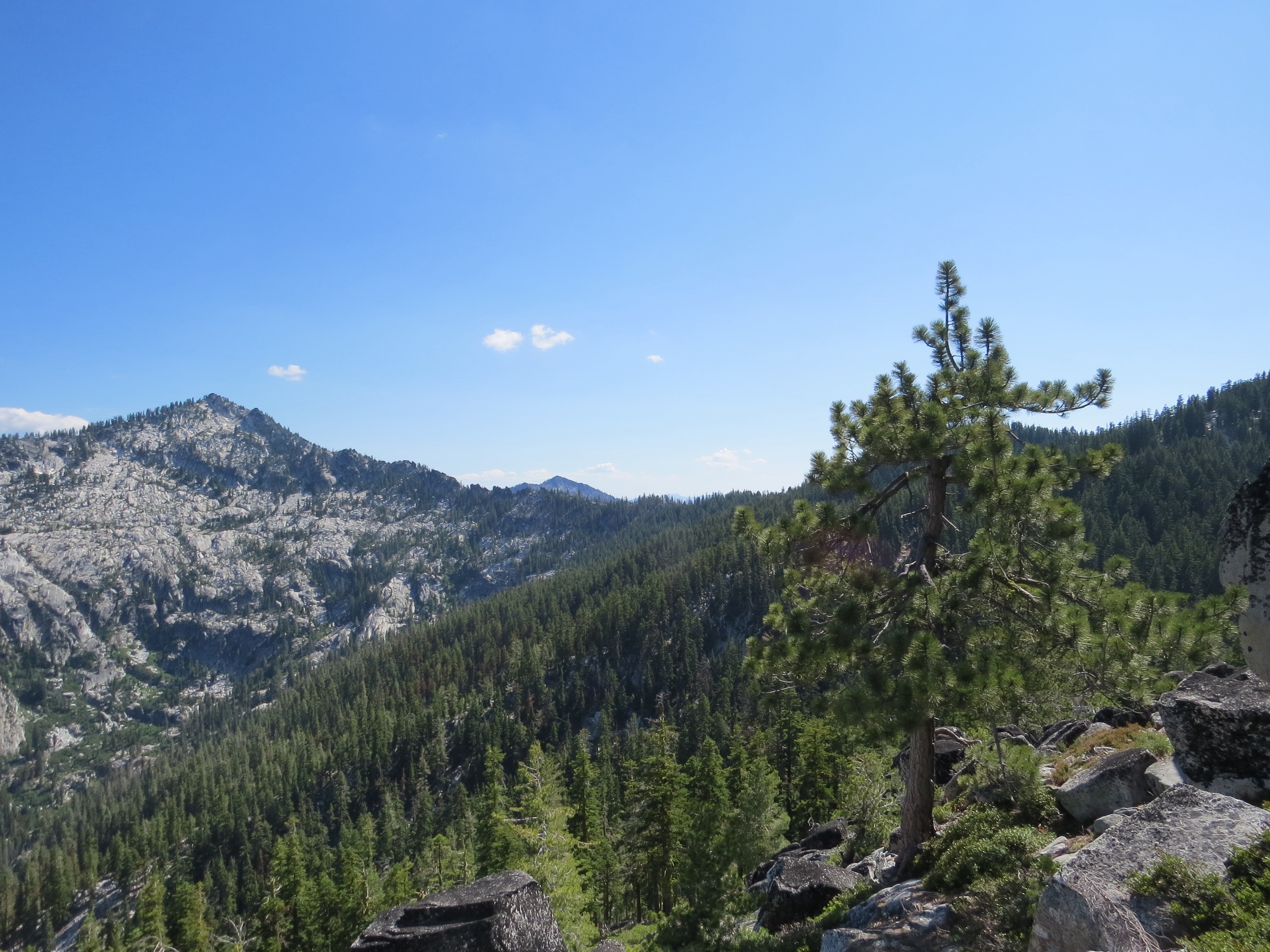
This entry covers the mountain transition zone where the Klamath Mountains, the Siskiyou Mountains, the Trinity Divide, Mount Shasta’s high country, Castle Crags, the Cascade-Siskiyou National Monument and the southern Cascades meet. The walking character changes quickly from ridge to ridge: volcanic summit trails on Lassen and Shasta, red-fir and mountain-hemlock forest, ultramafic and granitic Klamath terrain, spring-fed meadows, alpine lakes, dry ecotone ridges and prominent volcanic plugs.
The practical hiking season is usually late spring through autumn at lower elevations, and summer through early autumn on the high routes. Snow can linger into July on Lassen Peak, Mount Eddy and the Mount Shasta shoulder trails. Summer heat, smoke, lightning, rough forest-road access, lack of water, loose volcanic rock, poison oak at lower elevations and seasonal fire restrictions are all common planning issues here.
Primary verification sources for this pass were NPS pages for Lassen Peak and Lassen trail conditions, the California State Parks page for Castle Crags, and BLM Cascade-Siskiyou National Monument pages including the official Pilot Rock PDF. Route statistics were checked against NPS for Lassen Peak, AllTrails route records for all five hikes, and Hike Mt. Shasta pages for South Gate Meadows, Deadfall Lakes and Castle Dome. Forest Service recarea pages for the Shasta-Trinity National Forest were blocked during this pass, so official Forest Service route-page details for Mount Shasta and Mount Eddy remain unresolved. No directly reusable official GPX or KML downloads were confirmed; route-map and source-map links are listed instead.
See also: Siskiyou Mountains · Marble Mountains · Trinity Alps.
Selection rationale
The five hikes below balance the defining forms of the transition zone: a major southern Cascade volcanic summit, Mount Shasta’s high meadow country, the Klamath / Trinity Divide high summit and lake basin, the Castle Crags granite landmark and the Cascade-Siskiyou ecotone around Pilot Rock. Lassen Peak is included as the Southern Cascades anchor of the region; the other four routes sit closer to the Klamath–Siskiyou / Mount Shasta boundary. Pilot Rock is also treated in the Siskiyou Mountains article, and is retained here as the natural cultural landmark for this ecotone.
Summary
| # | Hike | Country | Route type | Distance | Gain | Max elevation | Difficulty |
|---|---|---|---|---|---|---|---|
| 1 | Lassen Peak Trail | USA | Out-and-back | 8.0 km | 596 m | 3,187 m | Strenuous |
| 2 | South Gate Meadows via Panther Meadow / Gray Butte | USA | Out-and-back | 8.2 km | 313 m | 2,465 m | Moderate |
| 3 | Mount Eddy via Deadfall Lakes Trail | USA | Out-and-back | 12.9 km | 787 m | 2,751 m | Hard |
| 4 | Crags Trail to Castle Dome | USA | Out-and-back | 9.0 km | 632 m | 1,429 m | Hard |
| 5 | Pilot Rock via PCT access | USA | Out-and-back | 5.5 km | 188 m | 1,609 m (non-scramble) | Moderate |
1. Lassen Peak Trail
Snapshot
Itinerary
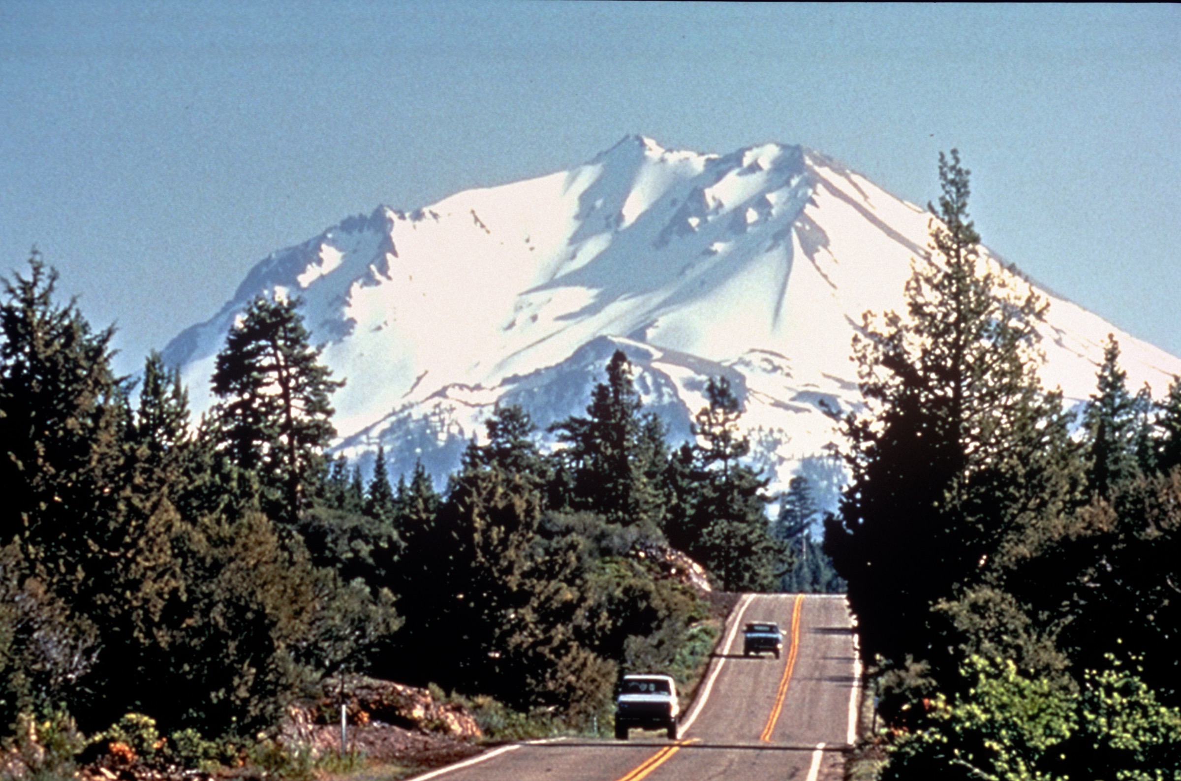
From the Lassen Peak parking area at about 2,590 m, the maintained trail climbs through sparse mountain-hemlock and whitebark-pine forest, then rises on sandy cinders and rocky switchbacks with increasingly open views across the park. The maintained trail reaches the first summit area, with interpretive signs and panoramic views. Parties may continue toward the true summit in suitable conditions, but snow, wind, altitude and loose volcanic ground can make the final section feel more serious than the mileage suggests.
Why it is essential
Lassen Peak is the obvious Southern Cascades anchor for this transition region: an active volcanic summit, one of the largest plug-dome volcanoes in the world and the classic non-technical high point of Lassen Volcanic National Park.
Equipment
- Sturdy boots
- Trekking poles
- Sun protection and warm layers
- 2–3 L of water
- Navigation
- Boot spikes advised for snowy sections early in the season (per NPS)
Hazards and notes
- Considerable sun exposure and sudden weather changes; snow is possible in any month.
- Winter avalanche danger on the mountain.
- High-elevation effects for many parties.
- On 2026-07-17 the NPS trail-condition page listed Lassen Peak as partially snow-covered, with boot spikes and trekking poles advised.
- Pets are not allowed on the trail.
Routes and maps
| Source | URL | Format / access | Reuse status |
|---|---|---|---|
| NPS — Hike Lassen Peak | nps.gov | Official route description | NPS material is generally public domain unless otherwise noted; no GPX found |
| NPS — Trail Conditions (May–October) | nps.gov | Official current-condition page | Check again before field use |
| AllTrails — Lassen Peak Trail | alltrails.com | Source map / route page | AllTrails terms; reference only |
| OpenStreetMap search — Lassen Peak Trail | openstreetmap.org | Map geometry cross-check | ODbL 1.0; reusable with attribution |
No official downloadable GPX or KML was found for this route.
Further reading
- NPS — Hike Lassen Peak
- NPS — Hiking Lassen Volcanic National Park
- NPS — Trail Conditions (May–October)
2. South Gate Meadows via Panther Meadow / Gray Butte
Snapshot
Itinerary
From Panther Meadow, the route crosses the meadow area, enters red-fir forest and continues toward the open South Gate / former Squaw Meadow basin on Mount Shasta’s south side. Hike Mt. Shasta describes both Panther Meadow and Old Ski Bowl approaches; the catalogue route uses the Panther Meadow approach and follows the South Gate route toward the spring-fed meadow complex below Shastarama Point, Thumb Rock, Red Butte and the Konwakiton Glacier side of Mount Shasta.
Why it is essential
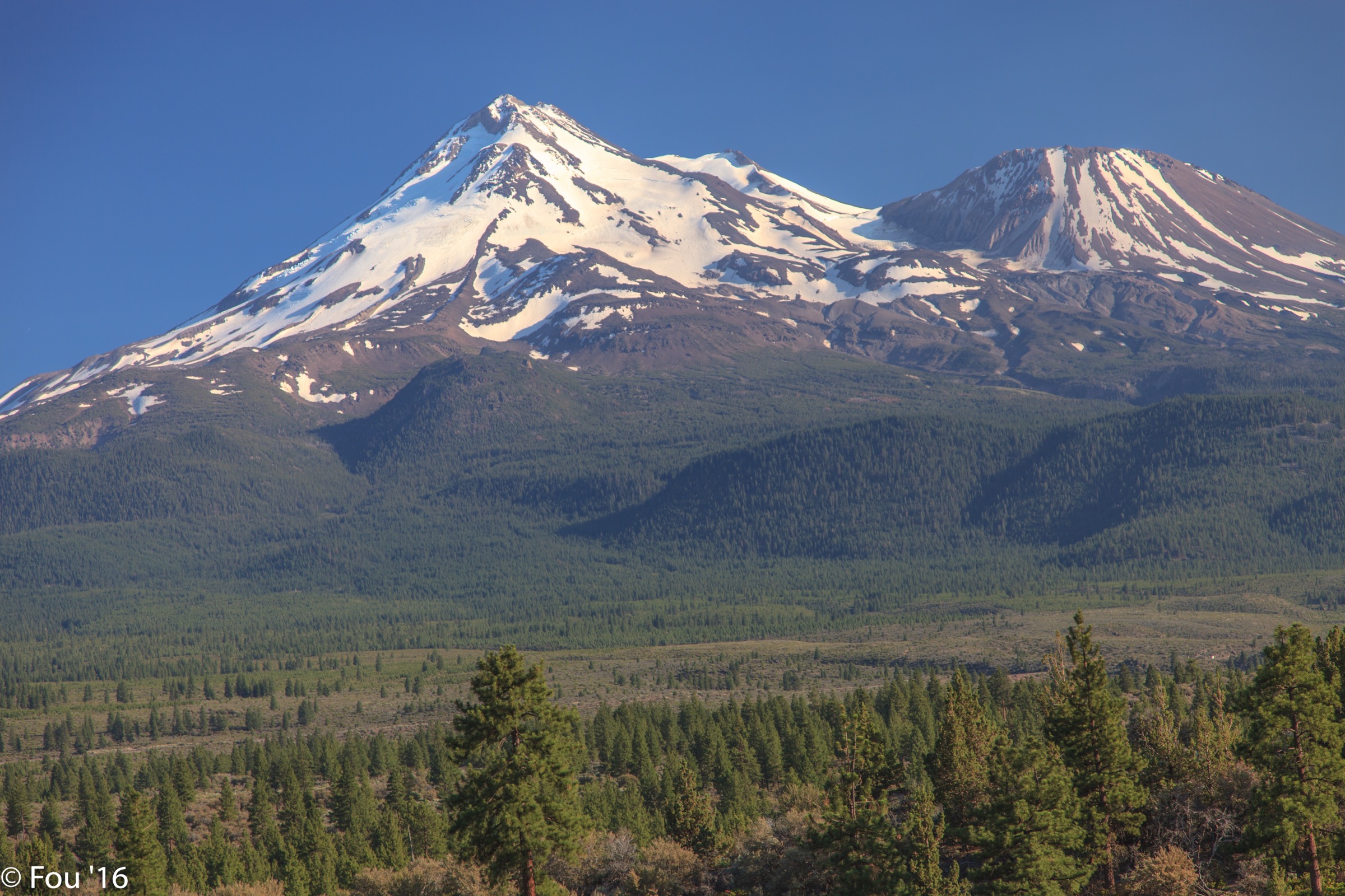
This is the best day-hike expression of Mount Shasta’s high meadow landscape without turning the outing into a mountaineering climb. It gives the volcanic shoulder, sacred-meadow sensitivity, spring-fed water, red-fir forest and open Shasta views that define this part of the transition zone.
Equipment
- Sturdy footwear
- 2 L of water
- Sun protection
- Warm and wind layers for the exposed meadow area
- Offline navigation
Hazards and notes
- AllTrails notes the route is not always well marked; navigation care is warranted.
- Stay on durable tread through meadow areas and avoid trampling springs and wet ground.
- Snow or blocked road access outside the summer season.
- Dogs are listed as not allowed on the AllTrails route record.
Routes and maps
| Source | URL | Format / access | Reuse status |
|---|---|---|---|
| AllTrails — South Gate Trail via Gray Butte and The Gate Trail | alltrails.com | Source map / route page | AllTrails terms; reference only |
| Hike Mt. Shasta — South Gate / Squaw Meadow Trail | hikemtshasta.com | Local guide-style route notes | Site terms not checked for geometry reuse; no GPX found |
| OpenStreetMap search — South Gate Meadows Mount Shasta | openstreetmap.org | Map geometry cross-check | ODbL 1.0; reusable with attribution |
Photo status: no route-specific licence-compatible image was confirmed in this pass. The regional Mount Shasta image used as the article cover is the closest open-licence substitute.
Further reading
- AllTrails — South Gate Trail via Gray Butte and The Gate Trail
- Hike Mt. Shasta — South Gate / Squaw Meadow Trail
3. Mount Eddy via Deadfall Lakes Trail
Snapshot
Itinerary
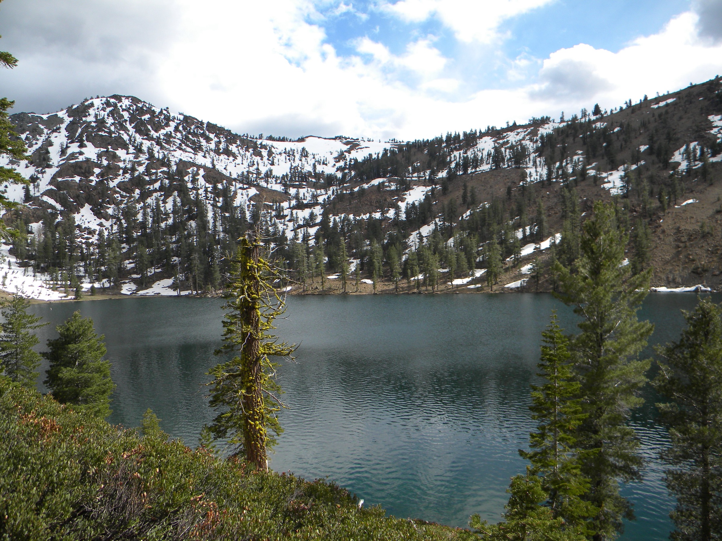
From the Deadfall Meadow Trailhead, cross into the meadow and follow Deadfall Creek through open meadow and forest to the junction with the Pacific Crest Trail / Sisson-Callahan route. Continue into the Deadfall Lakes basin, then climb the summit switchbacks to Mount Eddy — the high point of the Klamath Mountains and the Trinity Divide. The summit view takes in Mount Shasta, the Trinity Alps, Castle Crags and the broader Klamath–Southern Cascade junction.
Why it is essential
Mount Eddy is the Klamath-side counterpart to Mount Shasta: less famous, but arguably the best single day-hike for understanding the Klamath / Trinity Divide high country. The route combines meadows, lakes, PCT context, wildflowers and a major summit view.
Equipment
- Mountain hiking gear
- Trekking poles for the final switchbacks
- 3 L of water or a filter
- Sun protection and layers
- Navigation
Hazards and notes
- Mud in meadow sections early in the season.
- Exposed high slopes; afternoon thunderstorms are common.
- Lingering snow on the summit slopes into July.
- Rough access-road conditions.
- AllTrails states dogs are welcome, but local rules and wilderness restrictions should be checked before relying on that.
Routes and maps
| Source | URL | Format / access | Reuse status |
|---|---|---|---|
| AllTrails — Mount Eddy Trail via Deadfall Lakes Trail | alltrails.com | Source map / route page | AllTrails terms; reference only |
| Hike Mt. Shasta — Deadfall Lakes Trail | hikemtshasta.com | Local guide-style route notes | Site terms not checked for geometry reuse; no GPX found |
| OpenStreetMap search — Mount Eddy Deadfall Lakes | openstreetmap.org | Map geometry cross-check | ODbL 1.0; reusable with attribution |
No official downloadable GPX or KML was confirmed for this route.
Further reading
4. Crags Trail to Castle Dome
Snapshot
Itinerary
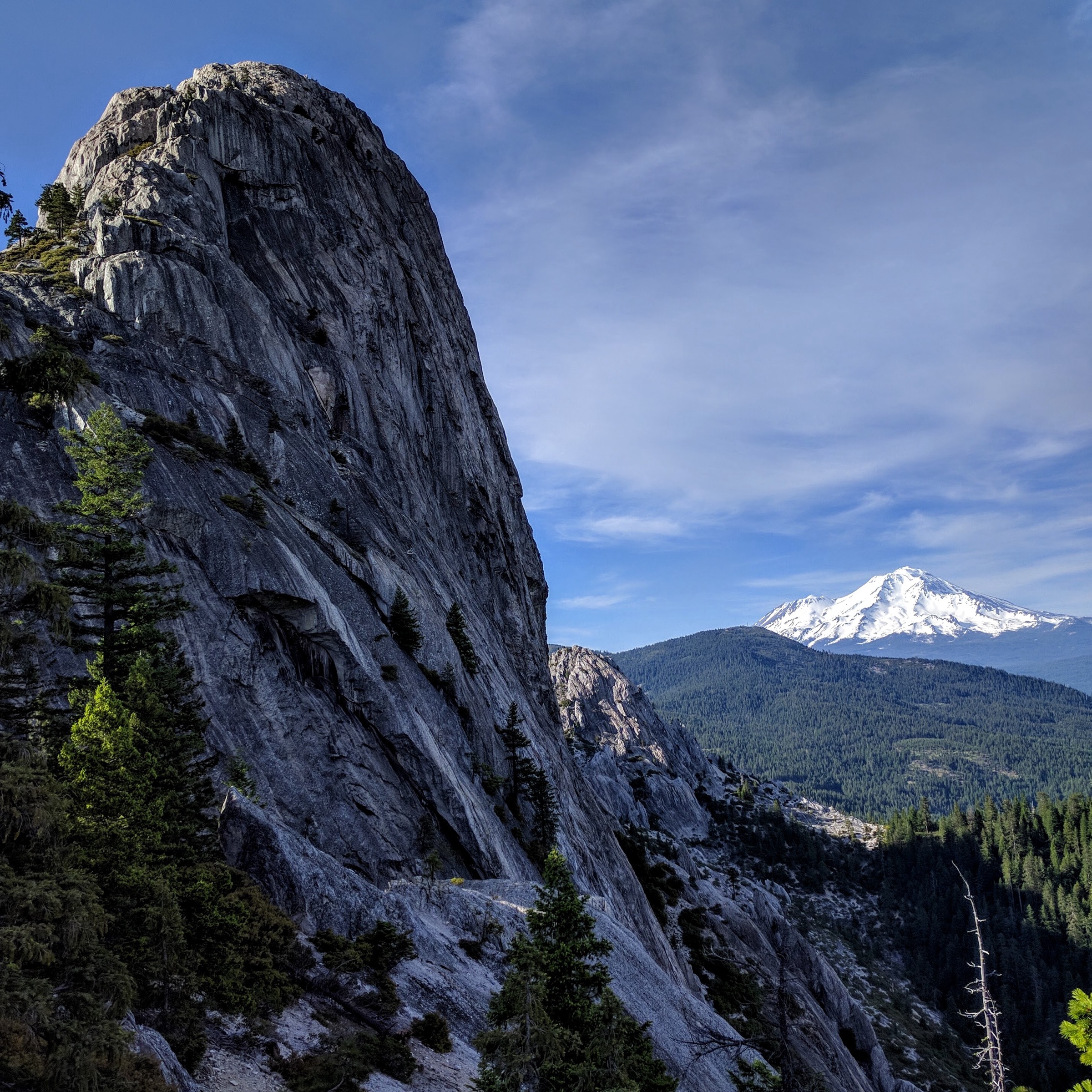
From the Vista Point / Crags Trailhead area, the route starts on easy forest trail, then leaves the lower Root Creek corridor and climbs steeply through forest and granitic terrain toward the Castle Dome saddle. The final part gives the classic view into the Castle Crags spires, Grey Rocks and Mount Shasta. This catalogue route stops at the maintained-trail endpoint near the base of Castle Dome; scrambling to Castle Dome itself is exposed and lies outside the normal non-technical day-hike objective.
Why it is essential
Castle Crags is the most dramatic granite landmark in the Mount Shasta / Klamath transition zone. The Crags Trail is the classic maintained route into that landscape and gives the region a strong granite contrast to the volcanic and metamorphic routes nearby.
Equipment
- Sturdy footwear
- 3 L of water; carry more than the mileage suggests
- Sun protection and an early start in warm weather
- Layers for the exposed upper section
Hazards and notes
- Steep sustained climbing on the upper switchbacks.
- Heat exposure at lower elevations; poison oak in the forest sections.
- Loose rock, cliffs and optional exposed scrambling beyond the maintained route.
- California State Parks states dogs are allowed only in parking lots, on paved roads and in campgrounds — not on trails or in day-use areas.
Routes and maps
| Source | URL | Format / access | Reuse status |
|---|---|---|---|
| California State Parks — Castle Crags State Park | parks.ca.gov | Official park page and route/access description | No downloadable route-file licence stated |
| AllTrails — Crags Trail to Castle Dome | alltrails.com | Source map / route page | AllTrails terms; reference only |
| Hike Mt. Shasta — Castle Dome Trail | hikemtshasta.com | Local guide-style route notes | Site terms not checked for geometry reuse; no GPX found |
| OpenStreetMap search — Crags Trail Castle Dome | openstreetmap.org | Map geometry cross-check | ODbL 1.0; reusable with attribution |
No official downloadable GPX or KML was confirmed for this route.
Further reading
- California State Parks — Castle Crags State Park
- AllTrails — Crags Trail to Castle Dome
- Hike Mt. Shasta — Castle Dome Trail
5. Pilot Rock via PCT access
Snapshot
Itinerary
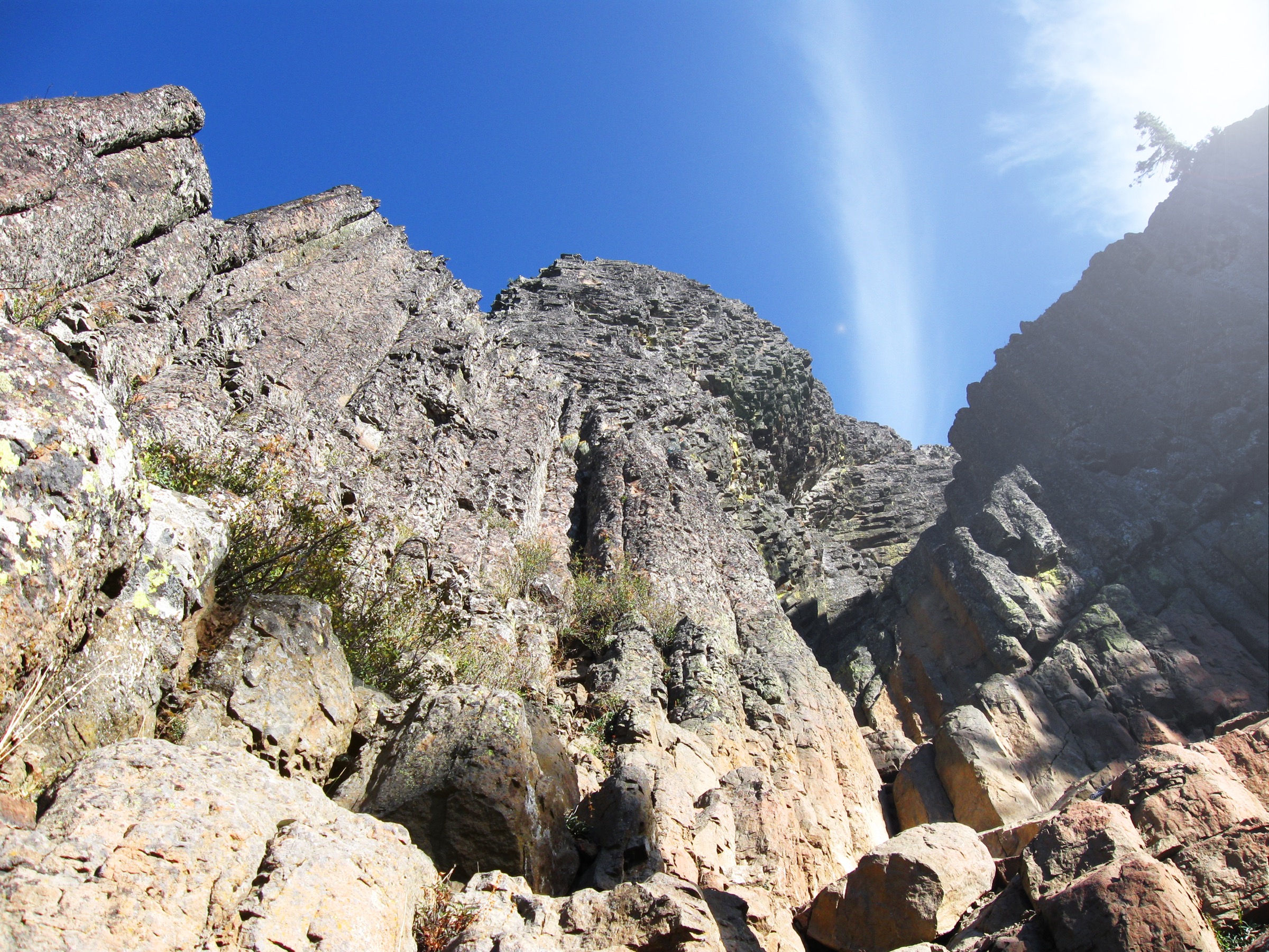
From the Sky King Cole / Pilot Rock Road access area, follow the Pacific Crest Trail access route through dry forest and open Cascade-Siskiyou terrain toward the Pilot Rock junction and approach. The official BLM Pilot Rock PDF describes the trail reaching the PCT after about 0.8 mi, then following the PCT roughly 300 yd toward either an out-and-back PCT continuation or the base of Pilot Rock. The scramble gully to Pilot Rock’s summit is steep, loose and exposed; this catalogue entry treats the hike to the approach / base area as the essential day-hike objective and leaves the summit scramble as an optional technical add-on.
Why it is essential
Pilot Rock is the clearest symbol of the Cascade-Siskiyou National Monument and the ecological transition named in this region. BLM describes the monument as the crossroads of the Cascade, Klamath and Siskiyou ranges; Pilot Rock adds the visible volcanic-plug landmark and the PCT corridor.
Equipment
- Water and sun protection
- Sturdy shoes
- Layers for exposed sections
- Headlamp for longer parties
Hazards and notes
- BLM warns about heat, dehydration, rough roads and private-property boundaries.
- The scramble gully to the summit is steep, loose and exposed.
- Technical rock climbing is only allowed on Pilot Rock within the monument.
- The south and east sides of Pilot Rock are closed 1 February – 30 July each year to protect peregrine falcons and nests.
Routes and maps
| Source | URL | Format / access | Reuse status |
|---|---|---|---|
| BLM — Pilot Rock Hike PDF | blm.gov | Official PDF route/map source | BLM federal material generally public domain unless noted; embedded cartography reuse not separately checked |
| BLM — Cascade-Siskiyou NM plan your visit | blm.gov | Official visitor and hiking links | No route-file licence stated |
| AllTrails — Sky King Cole Access to Pilot Rock Trail Intersection via PCT | alltrails.com | Source map / route page | AllTrails terms; reference only |
| OpenStreetMap search — Pilot Rock Cascade-Siskiyou | openstreetmap.org | Map geometry cross-check | ODbL 1.0; reusable with attribution |
No official downloadable GPX or KML was confirmed for this route.
Further reading
- BLM — Cascade-Siskiyou National Monument
- BLM — Pilot Rock Hike PDF
- AllTrails — Sky King Cole Access to Pilot Rock Trail Intersection via PCT
Further reading
| Source | URL |
|---|---|
| NPS — Lassen Volcanic National Park | nps.gov |
| USFS — Shasta-Trinity National Forest | fs.usda.gov |
| California State Parks — Castle Crags State Park | parks.ca.gov |
| BLM — Cascade-Siskiyou National Monument | blm.gov |
| Hike Mt. Shasta | hikemtshasta.com |
| OpenStreetMap (ODbL 1.0) | openstreetmap.org |
Missing data / follow-up work
- No directly reusable official GPX or KML was confirmed for any of the five routes.
- Shasta-Trinity National Forest
recareapages were blocked during this pass, so official Forest Service route-page details for Mount Shasta (South Gate Meadows) and Mount Eddy remain unresolved. - No route-specific licence-compatible photograph was confirmed for the South Gate Meadows hike; the cover image is a regional Mount Shasta view.
- Seasonal opening dates, current road status and any wilderness / monument access restrictions should be reconfirmed with the relevant agency office before travelling.
- Distance and gain for the Lassen Peak summit continuation beyond the maintained-trail endpoint are not published and are not asserted here.