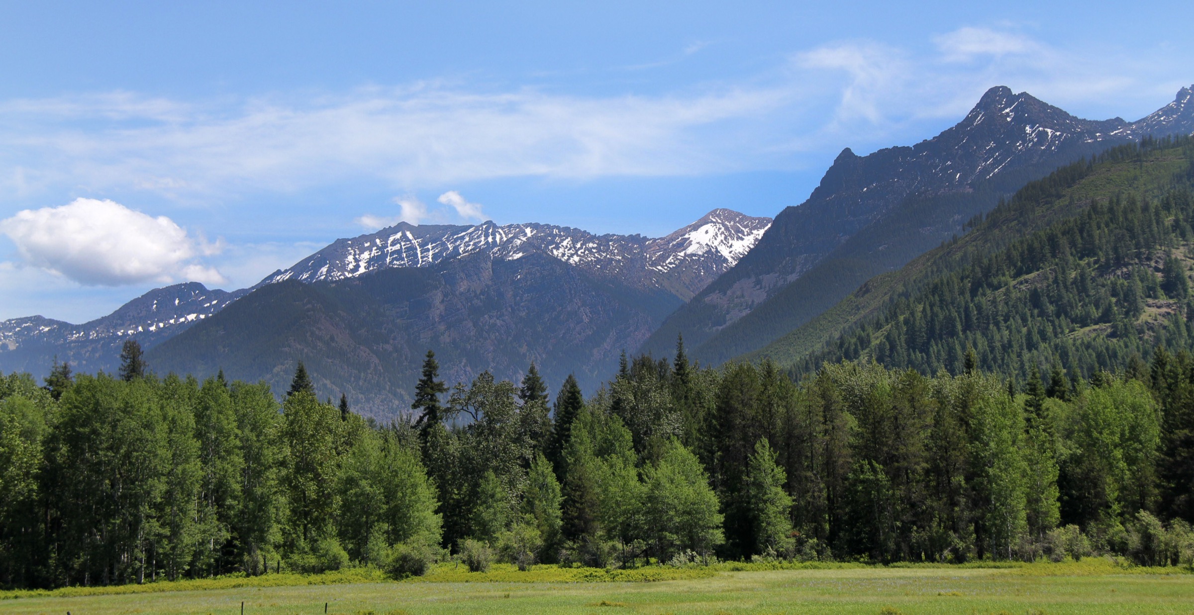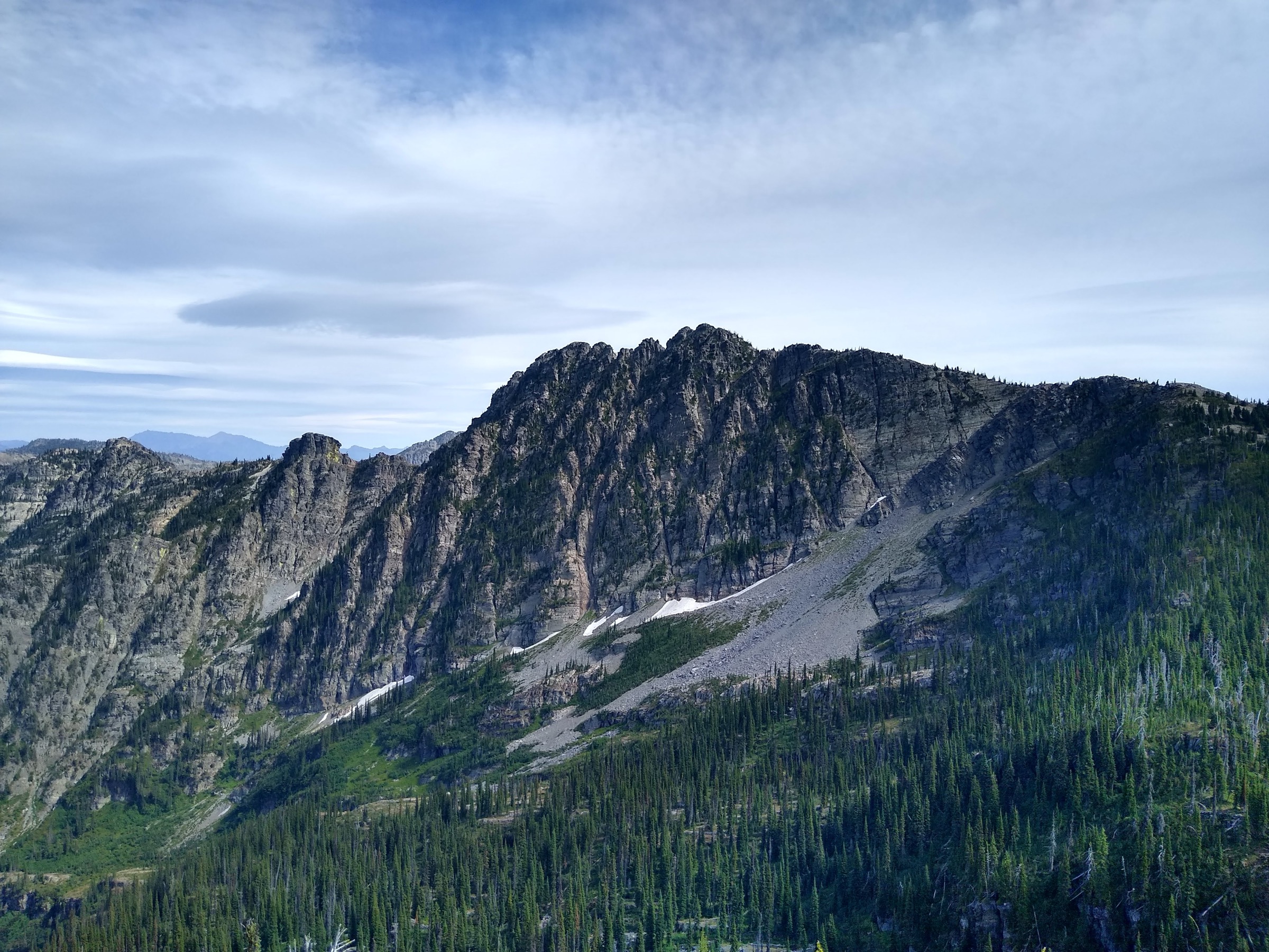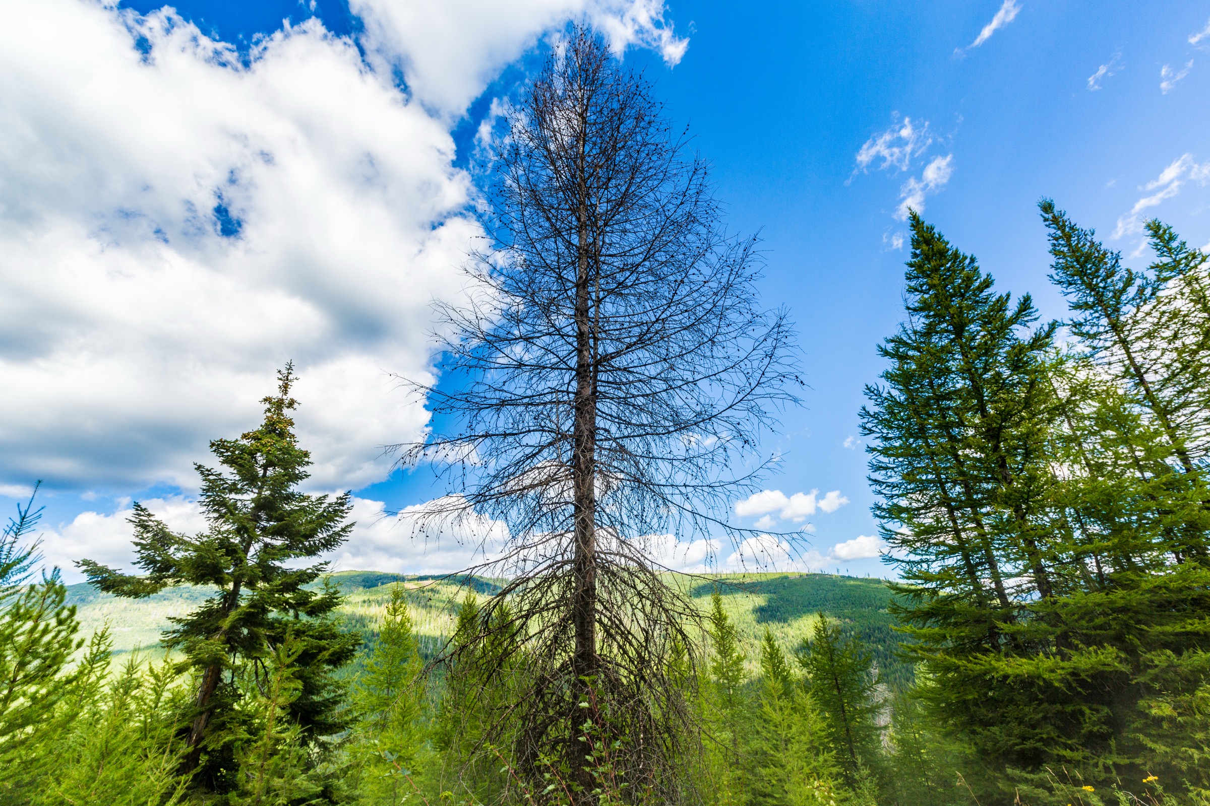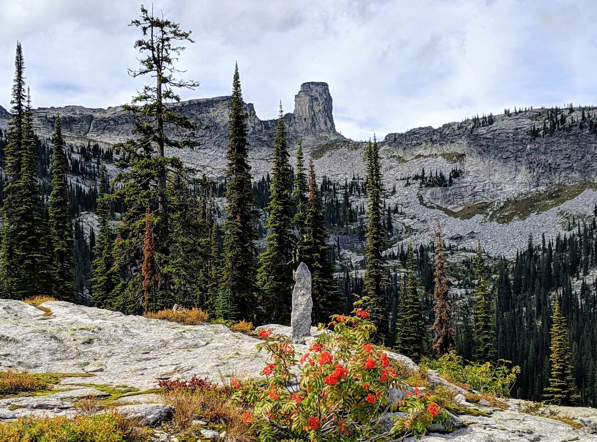
Regional overview
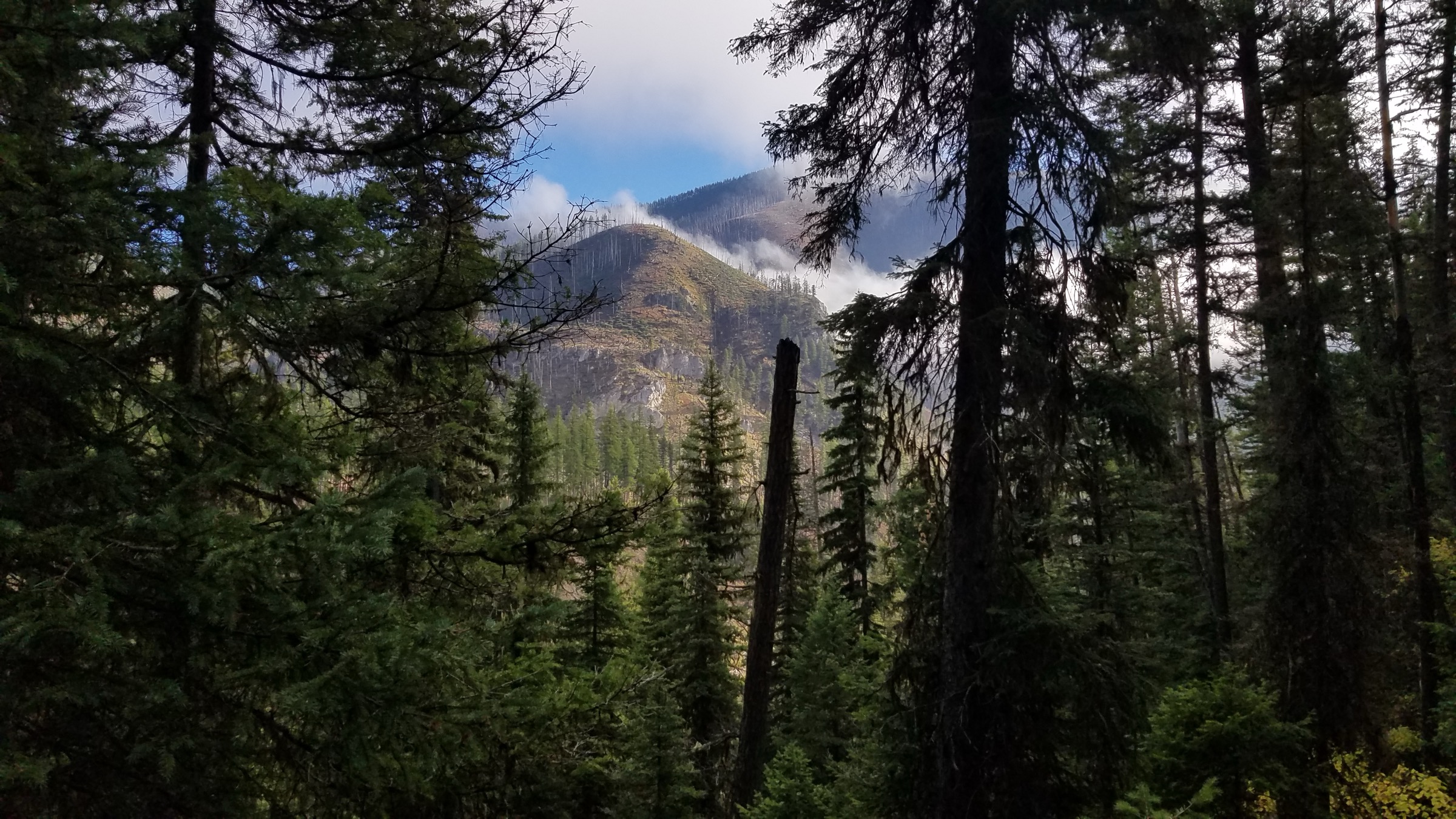
The Bob Marshall Wilderness is one of the largest and most primitive wilderness areas in the contiguous United States: a roadless spine of the Continental Divide running between Glacier National Park and the Scapegoat Wilderness, tied together with the neighbouring Great Bear and Scapegoat units into the Bob Marshall Wilderness Complex. The interior is stock-trail and long-backpack country — the Chinese Wall, South Fork Flathead and central passes are days from the nearest road — and honest day-hiking has to be handled from the edge.
This entry therefore treats the region as the Complex plus its gateway hikes, selecting five walks that are day-feasible for fit parties and clearly tied to the Bob Marshall Wilderness Complex. The routes fall along three natural access lines: the Rocky Mountain Front west of Choteau (Headquarters Pass, Our Lake, North Fork Birch Creek Pass), the Swan Range / Seeley-Swan west-side gateway (Upper Holland Lake), and the Continental Divide south gateway near Lincoln (Lewis and Clark Pass / Alice Creek loop). Interior objectives that are only realistic as multi-day trips are deliberately excluded.
The walking character is remote, wild and much less managed than Glacier National Park to the north: long gravel-road approaches, no verified public transport, seasonal snow, stream crossings, burn areas, active grizzly habitat and real navigation demands. Direct USFS route pages were unresolved during this research pass, so several route stats rely on Wild Montana’s route and outing pages; missing official GPX/KML, elevation loss or maximum-elevation values are flagged in each snapshot and in the Missing Data section. Carry paper and offline maps, carry bear spray, and check current Lewis and Clark National Forest, Flathead National Forest and Helena-Lewis and Clark National Forest conditions before committing.
Selection rationale
The five walks represent the best day-hike forms around the Bob Marshall Wilderness Complex: a classic Front pass (Headquarters Pass), an accessible high-cirque alpine lake (Our Lake), a west-side lake-and-waterfall route (Upper Holland Lake), a historic Continental Divide loop (Lewis and Clark Pass / Alice Creek), and a long Front creek-and-pass route with views into the Complex (North Fork Birch Creek Pass). Between them they sample every gateway direction into the Bob and every characteristic terrain form — Front escarpment, cirque lake, Swan gateway, Continental Divide crest and long creek-to-pass day.
Summary table
| # | Hike | Country | Route type | Distance | Gain | Max elevation | Difficulty |
|---|---|---|---|---|---|---|---|
| 1 | Headquarters Pass | USA | Out-and-back | 12.1 km | 640 m | Not verified | Strenuous |
| 2 | Our Lake Trail #184 | USA | Out-and-back | 10.3–10.5 km | 457 m | 2,225 m | Moderate–strenuous |
| 3 | Upper Holland Lake via Holland Falls | USA | Out-and-back | 22.5 km | Not verified | Not verified | Very strenuous |
| 4 | Lewis and Clark Pass / Alice Creek loop | USA | Loop | 16.1 km | Not verified | Not verified | Strenuous |
| 5 | North Fork Birch Creek Pass | USA | Out-and-back | 25.7 km | 610 m | 2,164 m | Strenuous / very strenuous |
1. Headquarters Pass
Snapshot
Itinerary
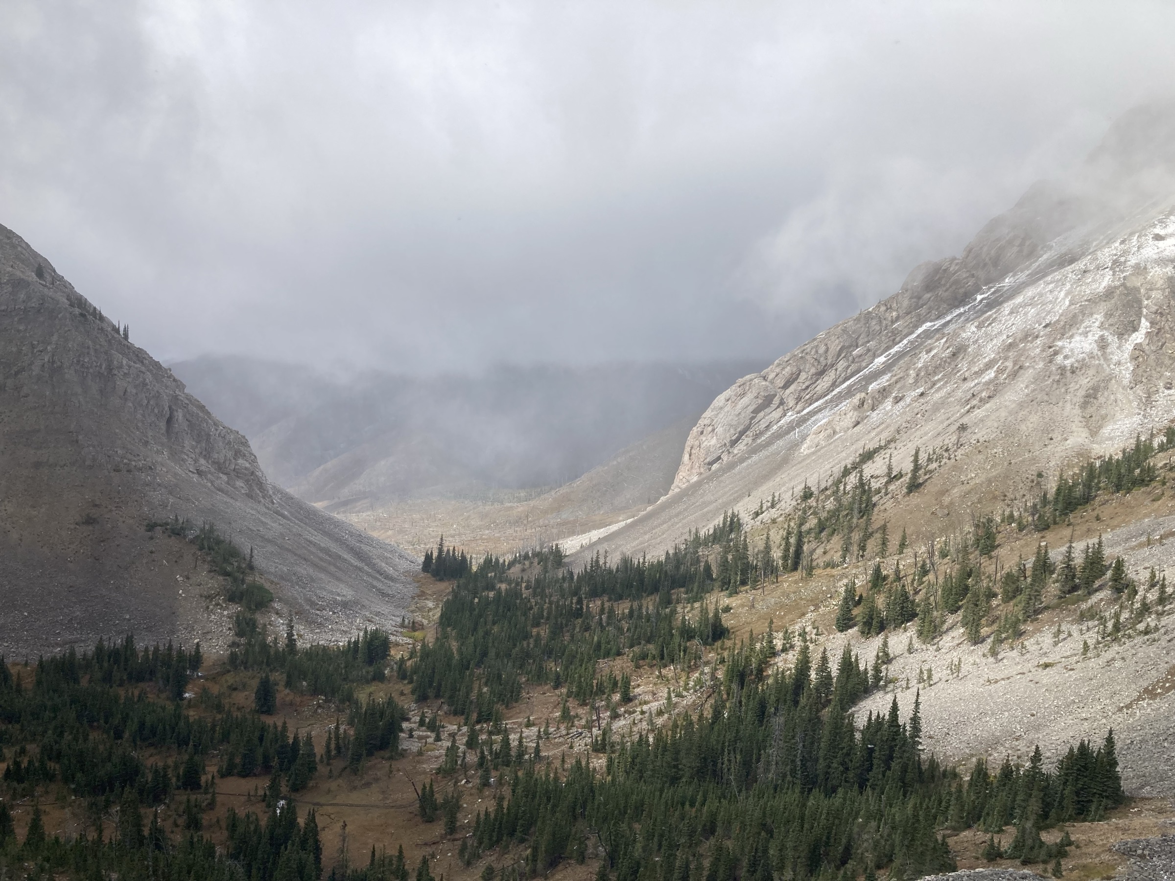
From the South Fork Teton / Headquarters Pass trailhead area west of Choteau, follow the trail toward Headquarters Pass, paralleling the headwaters of the South Fork Teton River past waterfalls before topping out on the pass. Views run west into the Bob Marshall Wilderness Complex. Return the same way.
Why it is essential
Headquarters Pass is a compact, classic Rocky Mountain Front wilderness day-hike. Wild Montana describes it as a classic wilderness adventure with waterfalls, mountain goats and views toward Rocky Mountain Peak and the ridges extending into the Bob.
Equipment
- Mountain hiking boots or sturdy shoes
- Bear spray — this is active grizzly country
- 2–3 L water
- Full day-hike food
- Wind and rain shell plus a warm layer
- Sun hat, sunscreen and sunglasses
- Offline map and paper backup
- High-clearance vehicle may be useful depending on the current road status
Hazards and notes
- Remote trailhead access on gravel forest roads.
- Grizzly habitat — carry spray and know how to use it.
- Mountain weather changes fast at the pass.
- Snow may linger into early season.
- Very limited mobile-phone coverage.
GPX / route file
| Source | URL | Format | Notes |
|---|---|---|---|
| Wild Montana — Headquarters Pass trail of the week | wildmontana.org | Web page | Route-stat source; no GPX; do not extract proprietary geometry |
| Wild Montana — trail guide | wildmontana.org | Web page | Manual planning cross-check |
| OpenStreetMap | openstreetmap.org | Source map | Reusable under ODbL with attribution |
Sources
2. Our Lake Trail #184
Snapshot
Itinerary
From the Our Lake trailhead west of Choteau, follow the right-hand branch toward Our Lake. The route climbs through shaded forest, crosses a steep scree-slope section about two miles in, passes waterfall views and reaches the cirque of Our Lake (also called Hidden Lake). Return the same way.
Why it is essential
Our Lake is one of the most approachable alpine-lake hikes on the Rocky Mountain Front, combining waterfalls, wildlife habitat and a high cirque lake in a genuine day-hike envelope.
Equipment
- Hiking boots or sturdy trail shoes
- Bear spray
- 2 L water
- Lunch and snacks
- Trekking poles for the scree traverse
- Wind and rain shell
- Warm layer for the cirque
- Offline map
Hazards and notes
- Late-season snowfields on the steep scree crossing.
- Active grizzly habitat.
- Cool, sudden weather at the cirque.
- Remote gravel-road access; verify current status.
- Very limited mobile-phone coverage.
GPX / route file
| Source | URL | Format | Notes |
|---|---|---|---|
| Wild Montana — Our Lake trail of the week | wildmontana.org | Web page | Route-stat source; no GPX |
| Wild Montana — detailed Our Lake article | wildmontana.org | Web page | Access and route context |
| Wild Montana — trail guide | wildmontana.org | Web page | Manual planning cross-check |
| OpenStreetMap | openstreetmap.org | Source map | Reusable under ODbL with attribution |
Sources
3. Upper Holland Lake via Holland Falls
Snapshot
Itinerary
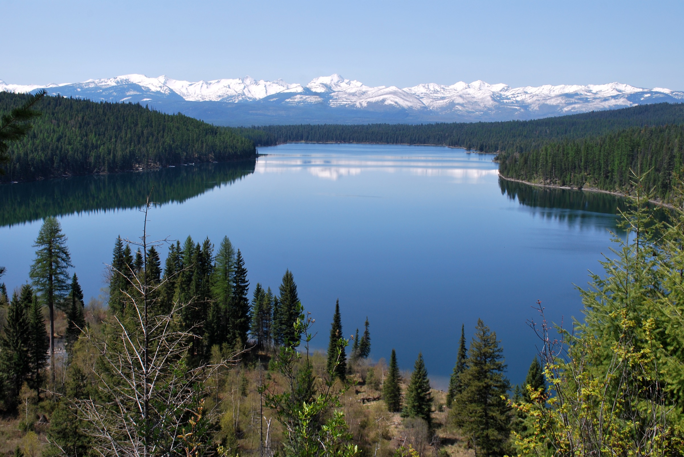
From the Lower Holland Lake trailhead, hike past Holland Falls and continue up-valley to Upper Holland Lake in the Swan Range. The route sits inside the west-side gateway of the Bob Marshall Wilderness Complex and gives an unusually long single-day lake-and-waterfall combination for the region. Return the same way.
Why it is essential
This route represents the west-side Bob and Swan gateway: a long, demanding lake-and-waterfall day-hike with views over the Seeley–Swan Valley, the Mission Mountains and the Swan Range itself.
Equipment
- Long-day mountain hiking boots
- Bear spray
- Extra food and 3 L water plus treatment
- Wind and rain shell plus a warm layer
- Offline map with the full route preloaded
- Headtorch for a late finish
- Stream-crossing readiness
Hazards and notes
- Wild Montana describes this as a thigh-burning hike; treat it as a genuine full day.
- Possible lingering snow and stream crossings in the upper basin.
- Active grizzly habitat.
- Remote west-side access; verify current Flathead NF road status.
- Limited to no mobile-phone coverage.
GPX / route file
| Source | URL | Format | Notes |
|---|---|---|---|
| Wild Montana — Upper Holland Lake Adventure outing | wildmontana.org | Web page | Route outing source; no GPX |
| OpenStreetMap | openstreetmap.org | Source map | Reusable under ODbL with attribution |
Sources
4. Lewis and Clark Pass / Alice Creek loop
Snapshot
Itinerary
Start at the Alice Creek trailhead, climb quickly toward the ridge of the Continental Divide Trail, follow the CDT toward Red Mountain, then descend Alice Creek and loop back to the trailhead. The route sits close to the historic crossing point at Lewis and Clark Pass.
Why it is essential
This is the historically important pass entry in the set: a Continental Divide loop near Lewis and Clark Pass, giving day-hikers a roadless historic-crossing landscape and a high-ridge route without a backpacking itinerary.
Equipment
- Mountain hiking boots
- Bear spray
- Water and treatment
- Full day-hike food
- Wind and rain shell plus a warm layer
- Offline map plus compass or GPS backup
Hazards and notes
- Remote terrain and active grizzly habitat.
- Fast-moving mountain weather on the exposed ridge.
- Possible lingering snow in early season.
- Navigation complexity around the CDT / Alice Creek loop junctions.
GPX / route file
| Source | URL | Format | Notes |
|---|---|---|---|
| Wild Montana — Lewis and Clark Pass Hike outing | wildmontana.org | Web page | Route outing source; no GPX |
| OpenStreetMap | openstreetmap.org | Source map | Reusable under ODbL with attribution |
Sources
5. North Fork Birch Creek Pass
Snapshot
Itinerary
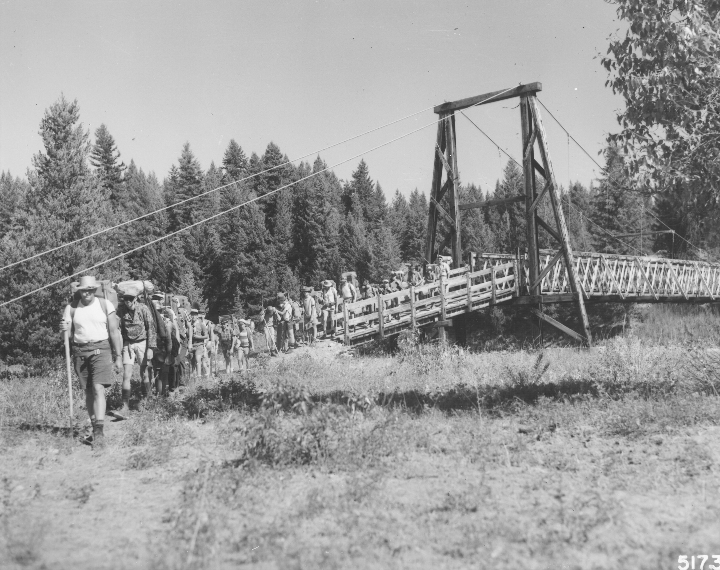
Follow North Fork Birch Creek through Rocky Mountain Front folded geology and burned / wildflower terrain, continuing to the unnamed pass at the head of the creek for views over the Bob Marshall Wilderness Complex and the Badger–Two Medicine country. Return the same way.
Why it is essential
This is the long Front-side wilderness-view route in the selection: creek travel, exposed folded geology and a broad pass viewpoint into the Complex. It closes the catalogue with the deepest single-day taste of the Bob available from the Front.
Equipment
- Long-day mountain hiking boots
- Bear spray
- 3 L water plus treatment
- Extra food for a 7–9 hour day
- Wind and rain shell plus a warm layer
- Sun protection
- Offline map and paper backup
- Headtorch for a late finish
Hazards and notes
- Long distance — at 25.7 km this is at the upper end of the day-hike constraint.
- Remote access and burn-area hazards including standing dead timber.
- Variable water availability.
- Active grizzly habitat.
- Sudden storms on the exposed pass.
- Very limited mobile-phone coverage.
GPX / route file
| Source | URL | Format | Notes |
|---|---|---|---|
| Wild Montana — North Fork Birch Creek trail of the week | wildmontana.org | Web page | Route-stat source; no GPX |
| Wild Montana — trail guide | wildmontana.org | Web page | Manual planning cross-check |
| OpenStreetMap | openstreetmap.org | Source map | Reusable under ODbL with attribution |
Sources
Routes excluded as out of scope
- Chinese Wall, White River and interior South Fork Flathead routes — all normally 3–6-day backpacks and outside the day-hike envelope.
- Scapegoat Mountain summit routes — long, exposed and typically multi-day from Lincoln or Benchmark.
- Sun River / Gibson Reservoir stock-trail approaches — long, low-grade access corridors better sampled as backpacks.
- Glacier National Park front-country hikes — treated separately in the Glacier catalogue.
Further reading
- Lewis and Clark National Forest — official homepage
- Flathead National Forest — official homepage
- Helena-Lewis and Clark National Forest — official homepage
- Wild Montana — hikes and outings
- Wikipedia — Bob Marshall Wilderness
- Wikipedia — Bob Marshall Wilderness Complex
Missing data / follow-up work
- No official USFS GPX or KML was retrieved for any of the five routes; route statistics rely on Wild Montana article pages checked 2026-07-13.
- Maximum elevations for Headquarters Pass, Upper Holland Lake and the Lewis and Clark Pass / Alice Creek loop are not verified in this pass; backfill from USGS quad data or the appropriate forest visitor map.
- Elevation gain and loss for Upper Holland Lake and the Lewis and Clark Pass / Alice Creek loop are not verified in this pass.
- Our Lake and Lewis and Clark Pass have no licence-cleared route photo in this pass; contributor or PD replacements would strengthen those sections.
- Trailhead access status — the South Fork Teton, Our Lake, Alice Creek and North Fork Birch Creek roads should all be re-confirmed on the relevant Lewis and Clark, Flathead or Helena-Lewis and Clark NF pages immediately before travel.
- Sibling catalogues for Glacier National Park, the Swan Range, the Mission Mountains and the Scapegoat Wilderness should be cross-linked once written.