Regional overview
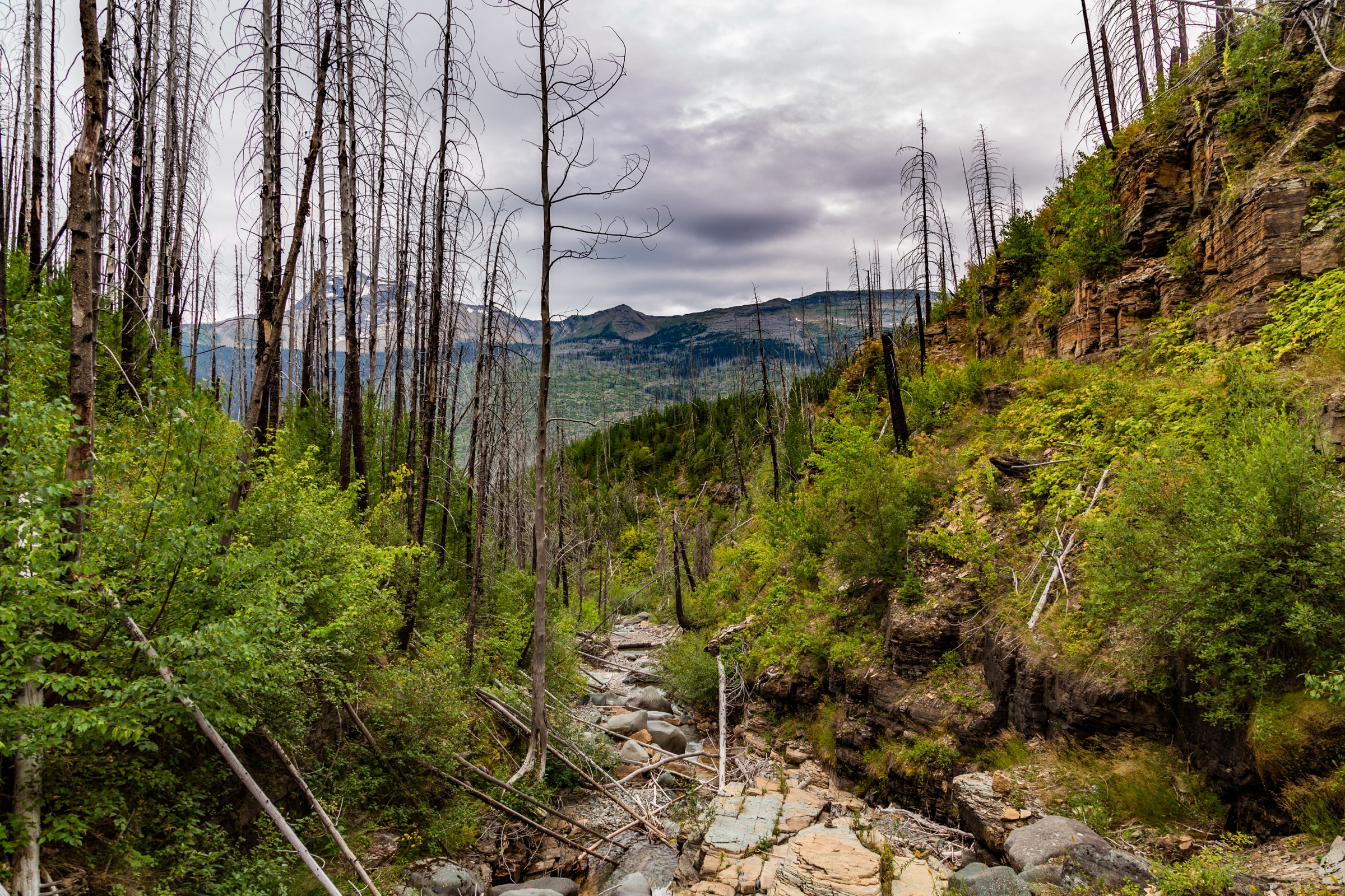
Glacier National Park is the sharp northern-Rockies hiking classic — glaciated valleys, cirque lakes, high passes, the Garden Wall, wildlife closures, lingering snow and heavily managed summer access along Going-to-the-Sun Road and Many Glacier. The National Park Service states that Glacier has more than 700 miles of trails and publishes official day-hike lists with distances and elevation gain by park area.
The hiking character is spectacular but serious. Many of the essential routes are non-technical summer walks, yet they cross avalanche paths, exposed benches, steep snowfields in early season and prime bear habitat. NPS notes that high-elevation trails and Continental Divide passes are typically snow-free only by late July, and current trail hazards and closures can change quickly.
Current access note checked on 2026-07-13: the NPS vehicle-reservation and shuttle pages returned “Page In-Progress” at the time of verification, so route entries below mark current vehicle and shuttle logistics as unresolved and point readers to the NPS current conditions and trail-status reports pages.
See also: Wallowa Mountains, Oregon · Strawberry Mountains, Oregon.
Selection rationale
The five hikes below cover Glacier’s core day-hike forms — the iconic Garden Wall traverse (Highline Trail), a glacier viewpoint (Grinnell Glacier), a major cirque lake (Iceberg Lake), a high pass crossing (Siyeh Pass) and the shorter west-side lake classic (Avalanche Lake). Distances and gains are taken from NPS area day-hike pages and PDFs; losses and round-trip totals are inferred where NPS publishes only one-way figures.
Summary
| # | Hike | Country | Route type | Distance | Gain | Difficulty | Primary trailhead |
|---|---|---|---|---|---|---|---|
| 1 | Highline Trail to Granite Park Chalet and The Loop | USA | Point-to-point | 19.0 km / 11.8 mi | 210–244 m / 690–800 ft | Strenuous | Logan Pass |
| 2 | Grinnell Glacier Viewpoint | USA | Out-and-back (boat option) | 17.0 km / 10.6 mi (11.6 km / 7.2 mi with boat) | 488 m / 1,600 ft | Strenuous | Grinnell Glacier trailhead, Many Glacier |
| 3 | Iceberg Lake | USA | Out-and-back | 15.4 km / 9.6 mi | 366 m / 1,200 ft | Moderate–strenuous | Iceberg–Ptarmigan trailhead, Many Glacier |
| 4 | Siyeh Pass | USA | Point-to-point | 16.3 km / 10.1 mi | 683 m / 2,240 ft | Strenuous | Piegan Pass trailhead |
| 5 | Avalanche Lake | USA | Out-and-back | 7.4 km / 4.6 mi | 152 m / 500 ft | Moderate | Avalanche Picnic Area, Going-to-the-Sun Road |
1. Highline Trail to Granite Park Chalet and The Loop
Snapshot
Itinerary
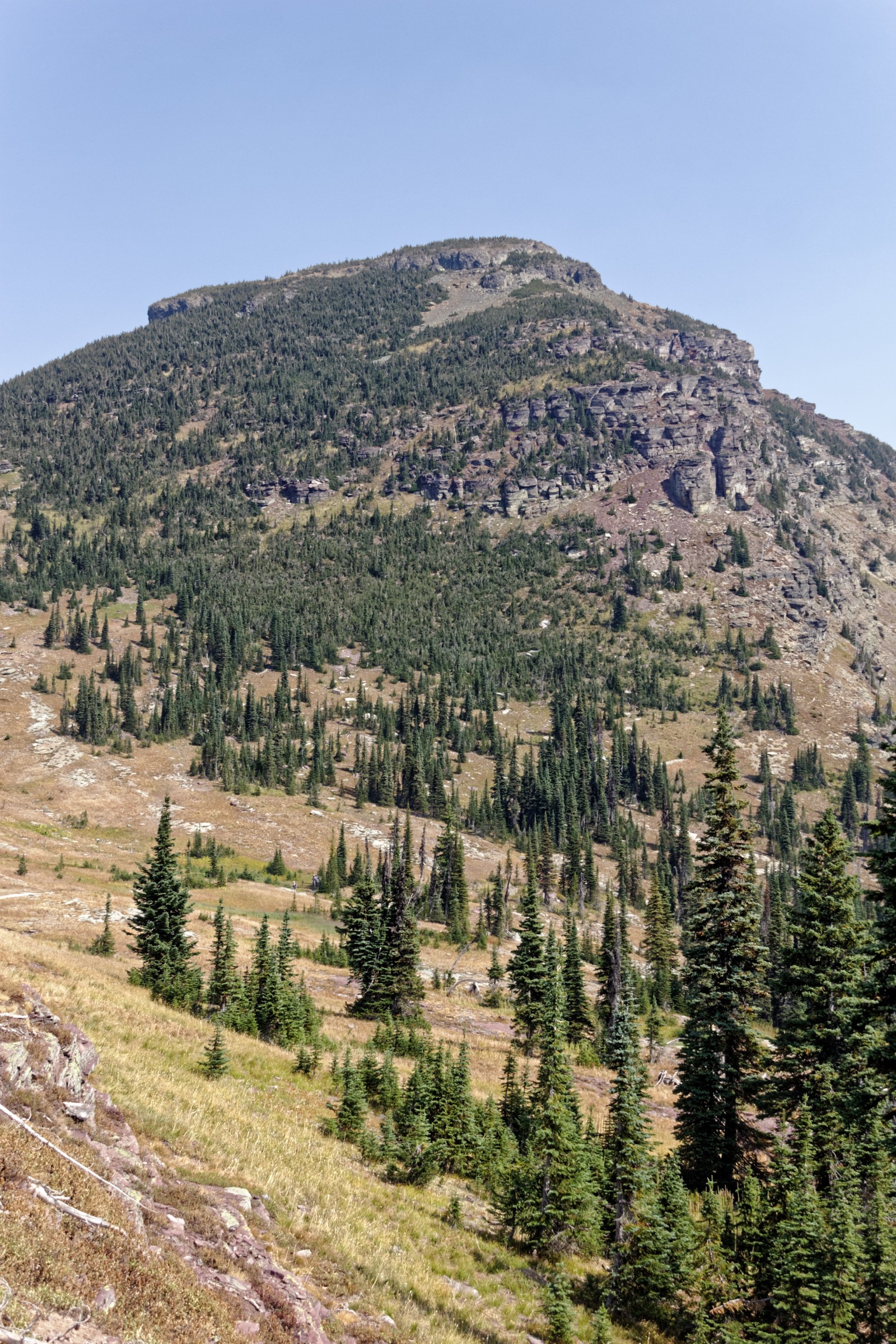
From Logan Pass the Highline Trail traverses the Garden Wall to Granite Park Chalet, then the Loop Trail drops down to Going-to-the-Sun Road. This is a point-to-point hike and should not be planned without confirmed shuttle, pickup or second-car logistics.
Why it is essential
Glacier’s signature alpine balcony route — long views, the Garden Wall, a dramatic built trail and one of the most famous non-technical high-country traverses in the park.
Equipment
- Sturdy boots or trail runners with grip
- Bear spray and knowledge of use
- Warm layers and a rain shell
- Sun protection, offline map, headlamp
- 2–3 L water and enough food for a long day
Hazards and notes
- Exposed path sections with cable-assisted traverse near the trailhead.
- Possible steep snow early in the season.
- Afternoon thunderstorms.
- No cell coverage in many areas.
- Wildlife postings and closures are common — check NPS trail status the morning of travel.
- Shuttle or vehicle-reservation logistics can change season-to-season.
Routes and maps
| Source | URL |
|---|---|
| NPS — St. Mary / Logan Pass day hikes | nps.gov |
| NPS — St. Mary Valley PDF map | nps.gov |
| OpenStreetMap — Highline Trail | openstreetmap.org |
Further reading
2. Grinnell Glacier Viewpoint
Snapshot
Itinerary
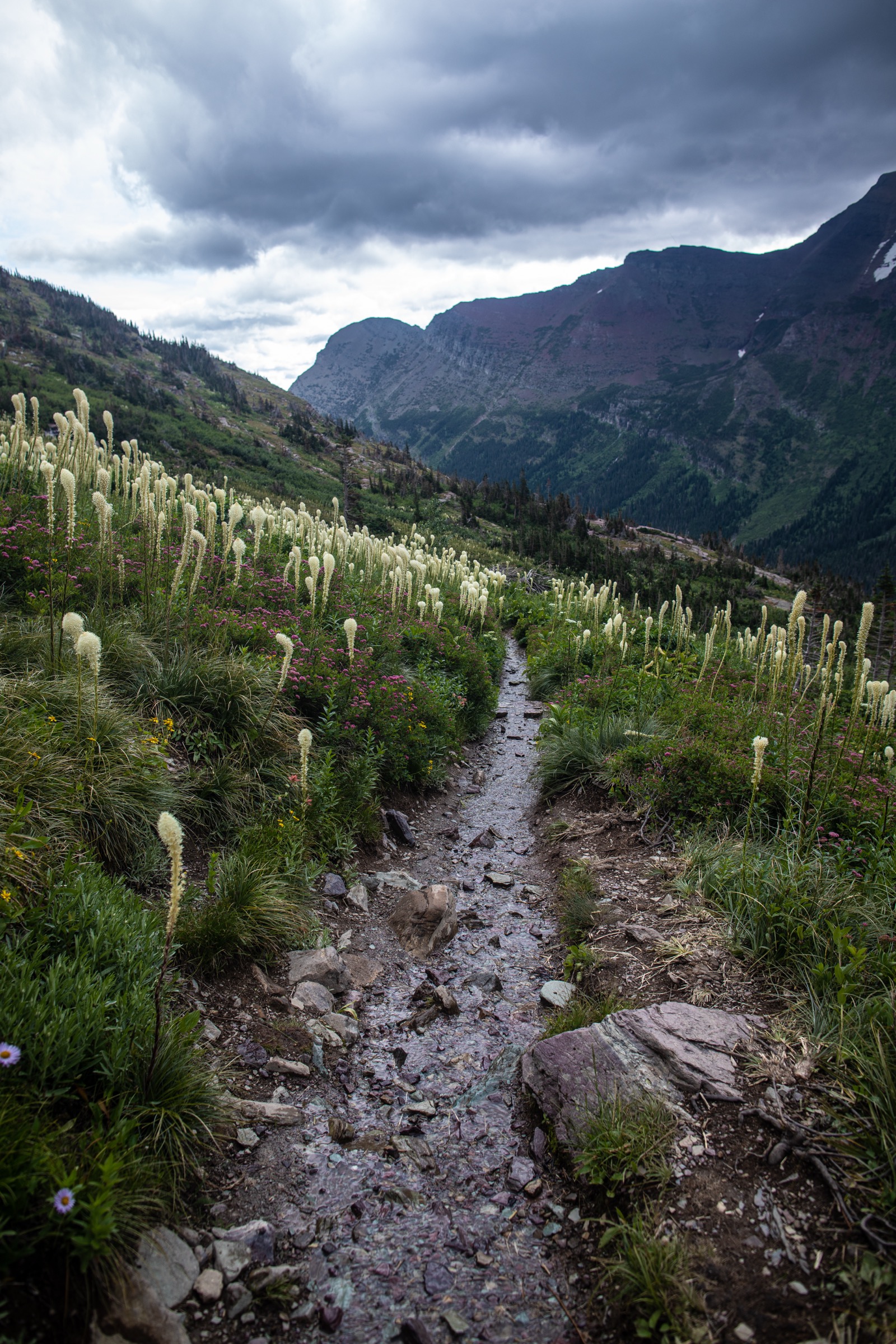
From the Grinnell Glacier trailhead or Many Glacier Hotel area, the trail climbs past lake and cliff scenery to the glacier viewpoint above Upper Grinnell Lake. The concession boat across Swiftcurrent and Josephine Lakes can shorten the walking distance by roughly 5 km, and NPS notes that fees apply and reservations are highly recommended.
Why it is essential
The definitive glacier-view day-hike in Glacier National Park — lakes, wildlife habitat, waterfalls, cliffs and a close view of one of the park’s most famous remaining glaciers.
Equipment
- Sturdy boots or trail runners
- Bear spray
- Warm layers, rain shell
- Sun protection, water, food
- Traction may be needed if early-season snow remains
Hazards and notes
- Snow and ice may linger on the upper trail into July.
- Wet, cliff-side sections above Josephine Lake.
- Wildlife closures for grizzly activity are common in season.
- Crowded summer trailhead access; parking fills early.
Routes and maps
| Source | URL |
|---|---|
| NPS — Many Glacier day hikes | nps.gov |
| NPS — Many Glacier PDF map | nps.gov |
| OpenStreetMap — Grinnell Glacier Trail | openstreetmap.org |
Further reading
3. Iceberg Lake
Snapshot
Itinerary
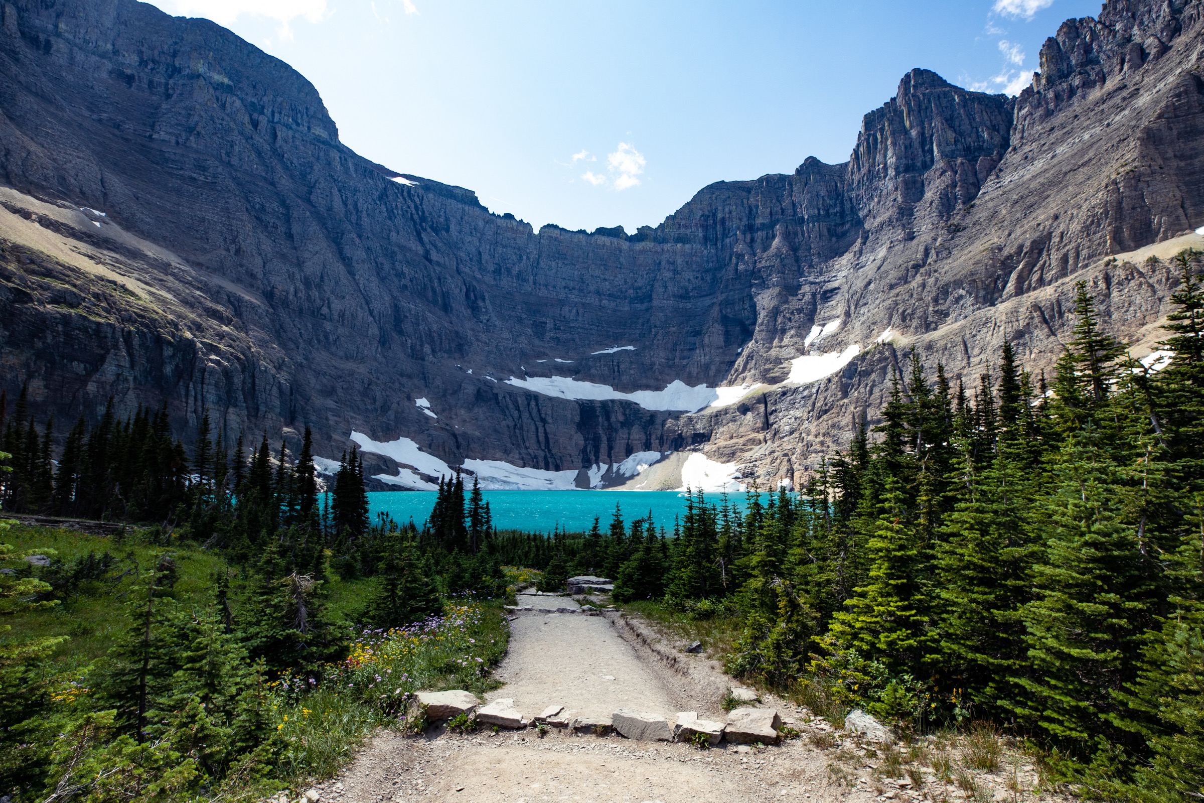
From the Iceberg–Ptarmigan trailhead the route works up the Many Glacier valley system to Iceberg Lake, a high cirque set below steep walls. Return the same way.
Why it is essential
One of Glacier’s most famous cirque-lake destinations — a strong alpine reward without the higher gain of Grinnell Glacier.
Equipment
- Sturdy boots or trail runners
- Bear spray
- Water, rain shell, warm layer
- Sun protection, offline map
Hazards and notes
- Prime bear habitat — wildlife closures common in season.
- Early-season snow and avalanche-path terrain across parts of the route.
- Storms and cold lake-basin conditions.
- Crowded summer trailhead access.
Routes and maps
| Source | URL |
|---|---|
| NPS — Many Glacier day hikes | nps.gov |
| NPS — Many Glacier PDF map | nps.gov |
| OpenStreetMap — Iceberg Lake | openstreetmap.org |
Further reading
4. Siyeh Pass
Snapshot
Itinerary
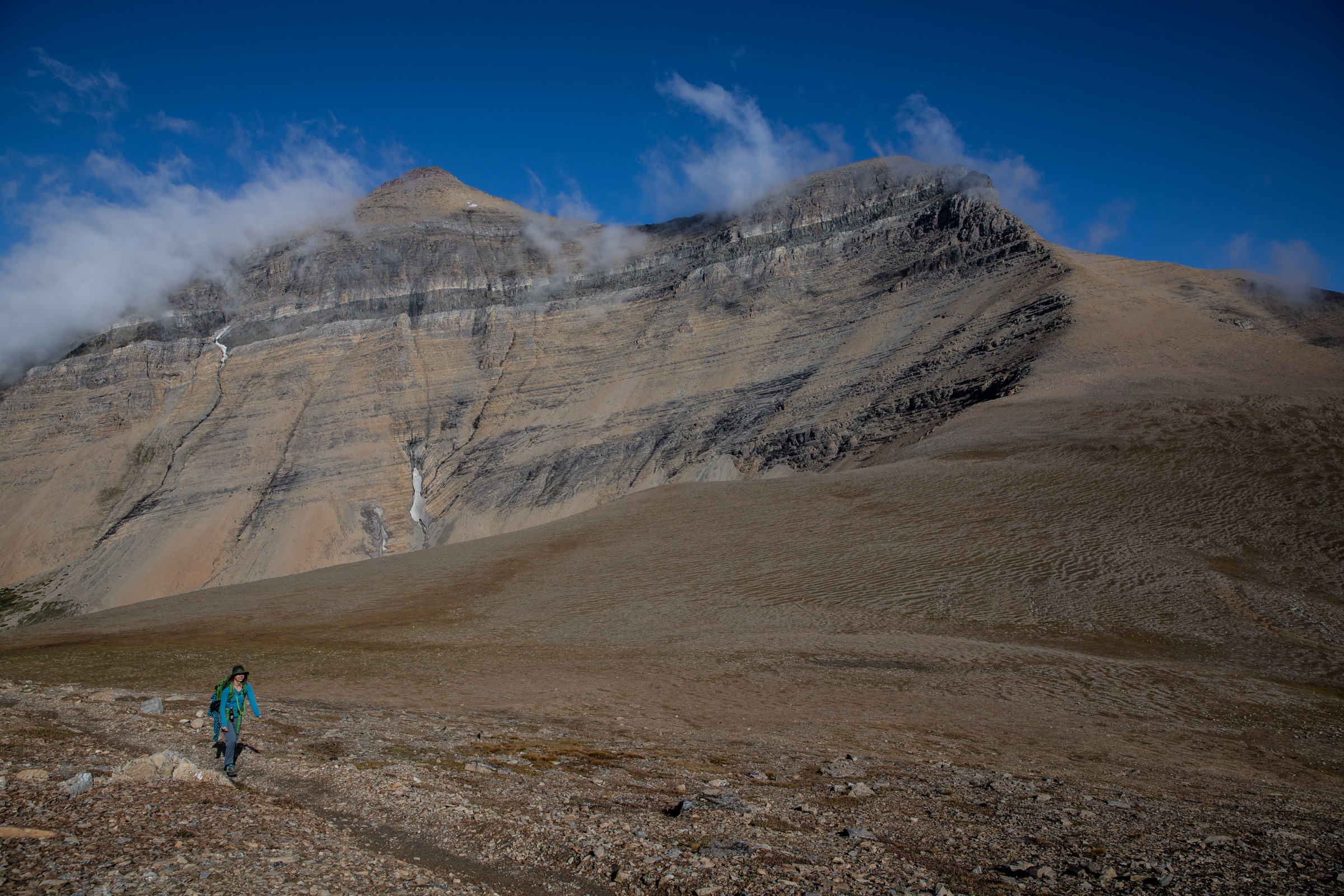
From the Piegan Pass trailhead the route climbs toward Siyeh Pass, crosses high open terrain and descends to Sunrift Gorge on Going-to-the-Sun Road. The direction listed here uses the lower NPS ascent figure; the reverse direction is significantly more uphill.
Why it is essential
Glacier’s classic high-pass day crossing — a big divide-style route with broad alpine views and a different feel from the Garden Wall traverse.
Equipment
- Sturdy boots or trail runners
- Bear spray
- Rain shell, warm layers
- Sun protection, offline map
- Traction and ice-axe skills may be needed before the trail is snow-free
Hazards and notes
- Early-season high routes may involve steep snowfields, route finding and ice-axe / crampon conditions.
- Weather, closures and shuttle logistics can change quickly.
- Long descent to Sunrift Gorge — pacing matters as much as the climb.
- Wildlife postings; carry bear spray on the exposed upper sections too.
Routes and maps
| Source | URL |
|---|---|
| NPS — St. Mary / Logan Pass day hikes | nps.gov |
| NPS — St. Mary Valley PDF map | nps.gov |
| OpenStreetMap — Siyeh Pass | openstreetmap.org |
Further reading
5. Avalanche Lake
Snapshot
Itinerary
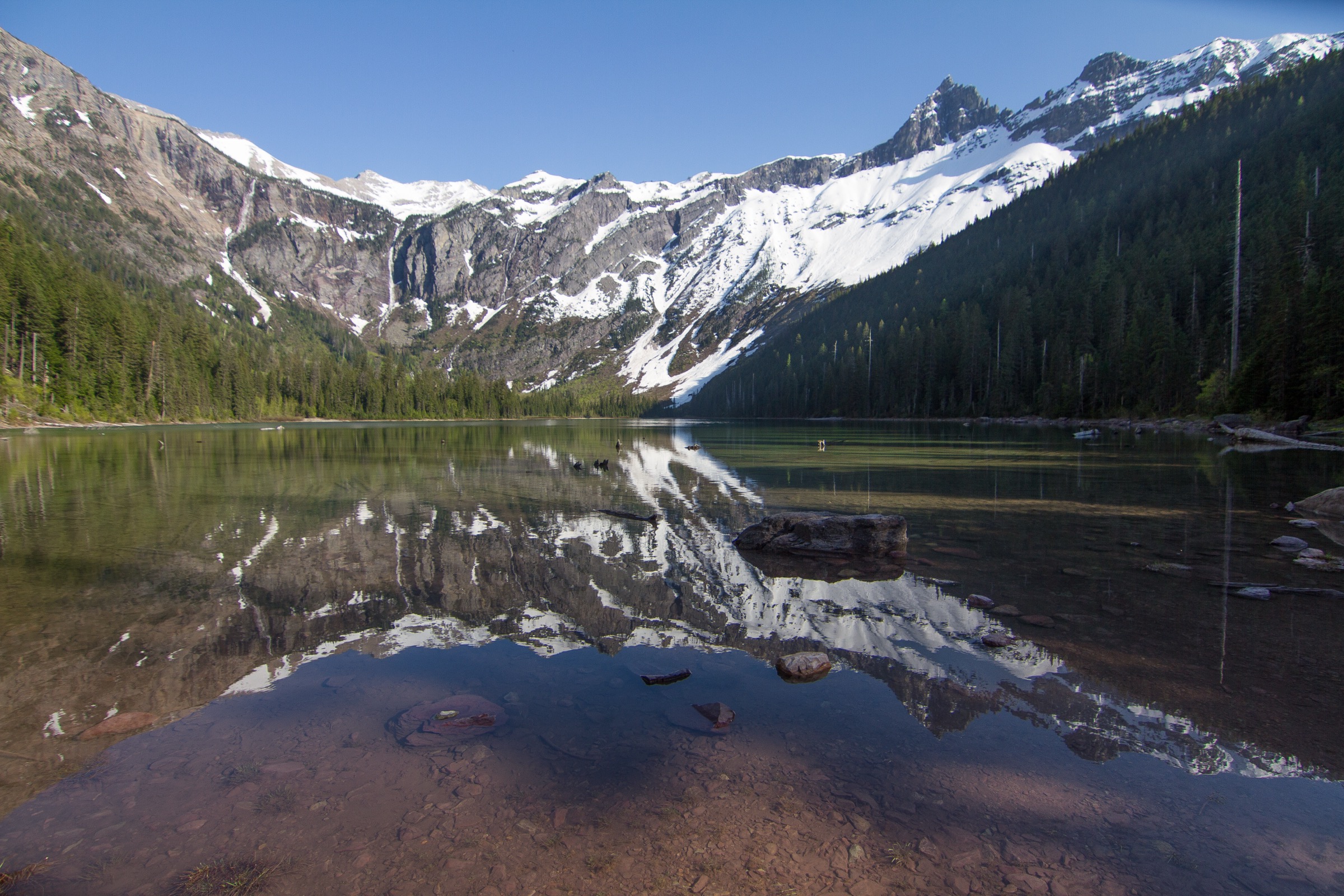
From the Avalanche Picnic Area the maintained trail follows the Avalanche Creek corridor through old cedar-hemlock forest to Avalanche Lake at the base of a cirque wall, then returns the same way.
Why it is essential
The compact west-side Glacier classic — forest, gorge, lake, cliffs, waterfalls and a big scenic payoff in a half day.
Equipment
- Sturdy footwear
- Bear spray
- Rain shell, water
- Sun protection
- Traction in icy shoulder seasons
Hazards and notes
- Crowds — one of the busiest west-side trails.
- Wet rock and boardwalk / creek-side footing.
- Bear activity in season.
- Rapidly changing weather.
Routes and maps
| Source | URL |
|---|---|
| NPS — Lake McDonald day hikes | nps.gov |
| NPS — Lake McDonald PDF map | nps.gov |
| OpenStreetMap — Avalanche Lake | openstreetmap.org |
Further reading
Region-wide cautions
- Glacier is prime grizzly and black-bear habitat — carry bear spray and know how to use it on every hike. Wildlife closures are common and change day-to-day.
- Snow lingers on the high routes into late July; the Highline Trail, Siyeh Pass and Grinnell Glacier upper sections are frequently reported as steep snowfield / ice-axe terrain into early summer.
- Afternoon thunderstorms are common on the Continental Divide passes; start early and be off exposed terrain by mid-afternoon.
- Going-to-the-Sun Road, Many Glacier access and the park shuttle are all subject to timed vehicle reservations that change season-to-season — verify current requirements at NPS current conditions before every visit.
- Trailhead parking fills early at Logan Pass, Many Glacier and Avalanche — plan for a pre-dawn start or use the park shuttle where available.
- Cell coverage is unreliable across the park; carry a paper map or downloaded topo, and tell someone your plan.
Routes excluded
- Highline Trail continuation to Fifty Mountain — a multi-day backcountry objective, not a single-day route.
- Sperry Chalet and glacier viewpoint — outstanding but sits at the boundary between long day-hike and comfortable overnight; better handled as an overnight in this region-catalogue format.
- Cracker Lake and Ptarmigan Tunnel — both fine hikes but overlap thematically with Grinnell Glacier and Iceberg Lake respectively.
- Winter and snowshoe routes — a separate discipline; this article covers snow-free-season day-hiking only.
Data and media notes
Route statistics are drawn from the NPS area day-hike pages and the NPS PDF valley maps for St. Mary / Logan Pass, Many Glacier and Lake McDonald. Where NPS publishes only one-way figures, round-trip totals and elevation losses are inferred from the reverse-direction gain figures. Maximum elevations for the individual hikes are not consistently published on NPS pages and are omitted here rather than transcribed from lower-authority sources. Vehicle-reservation and shuttle logistics change season-to-season; always verify current status on the NPS current-conditions and trail-status pages before travel.