Regional overview
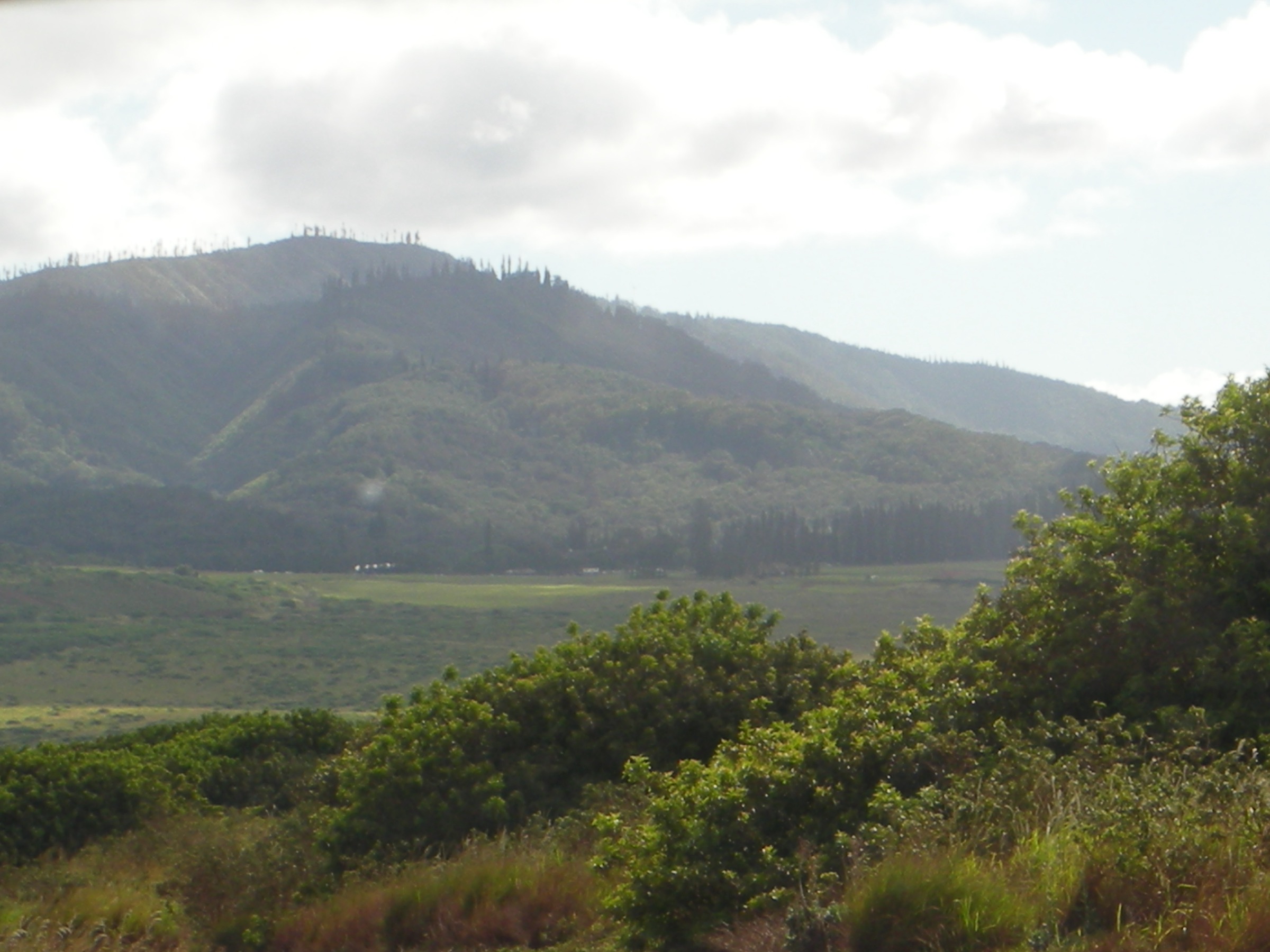
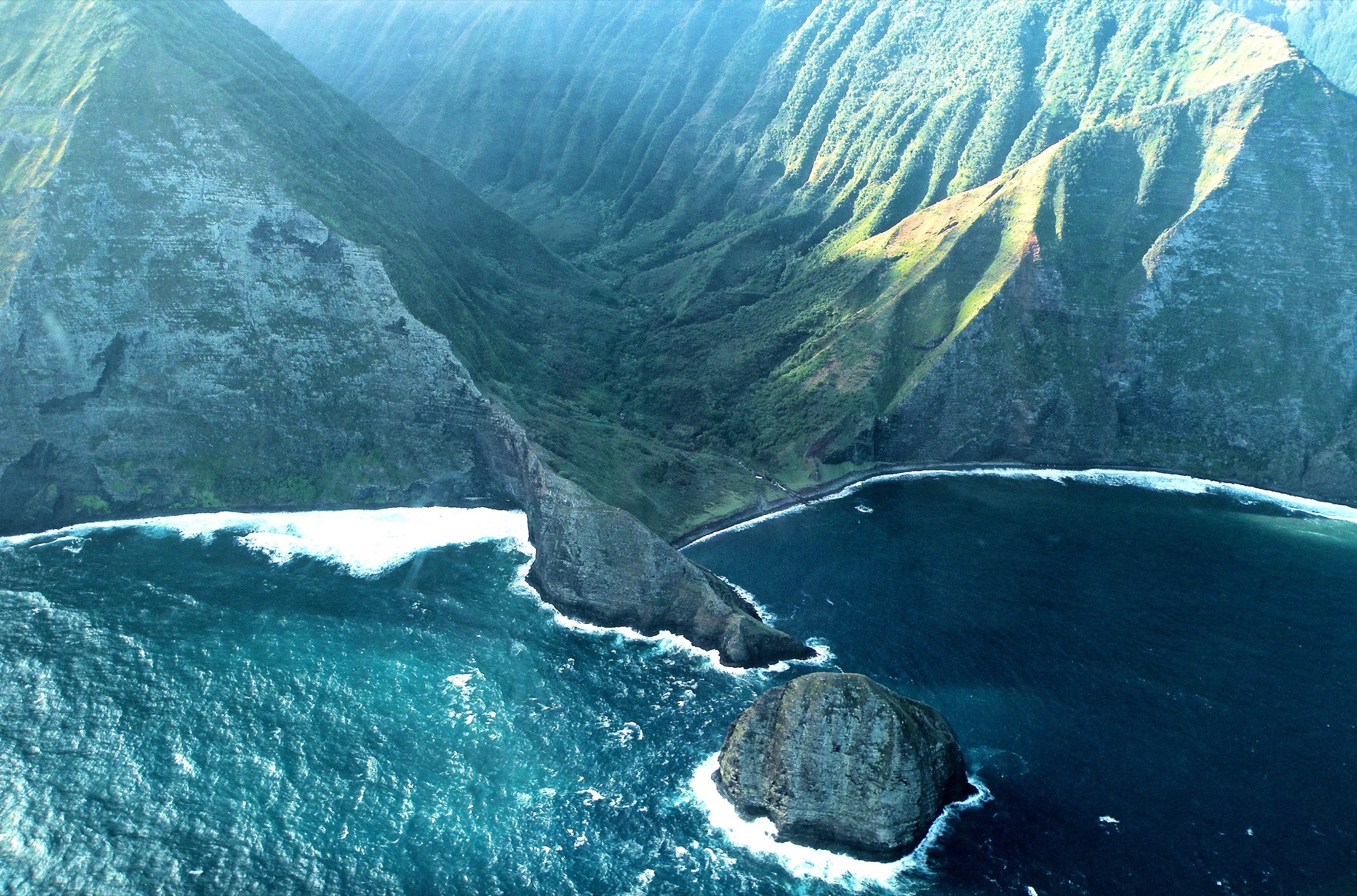
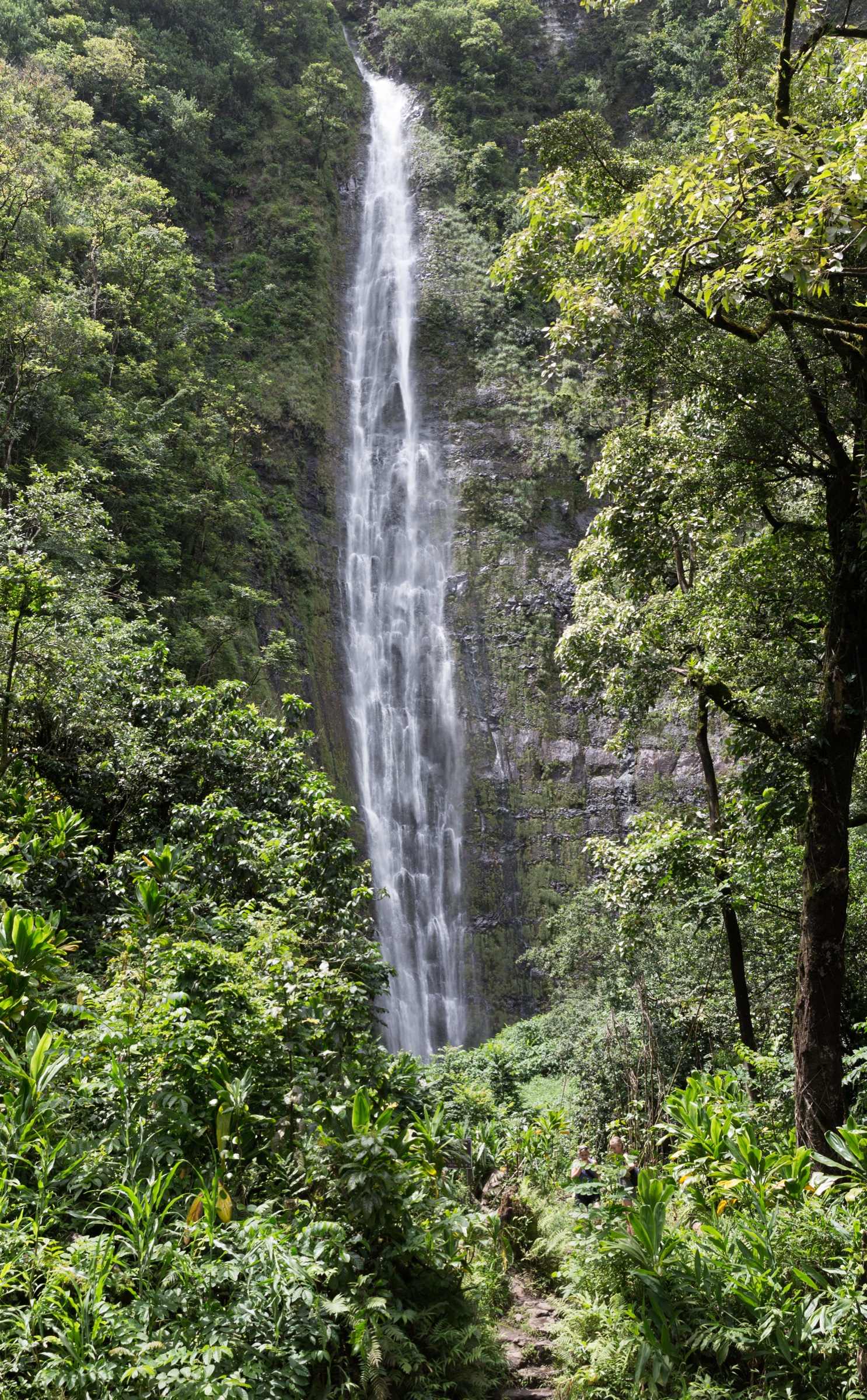
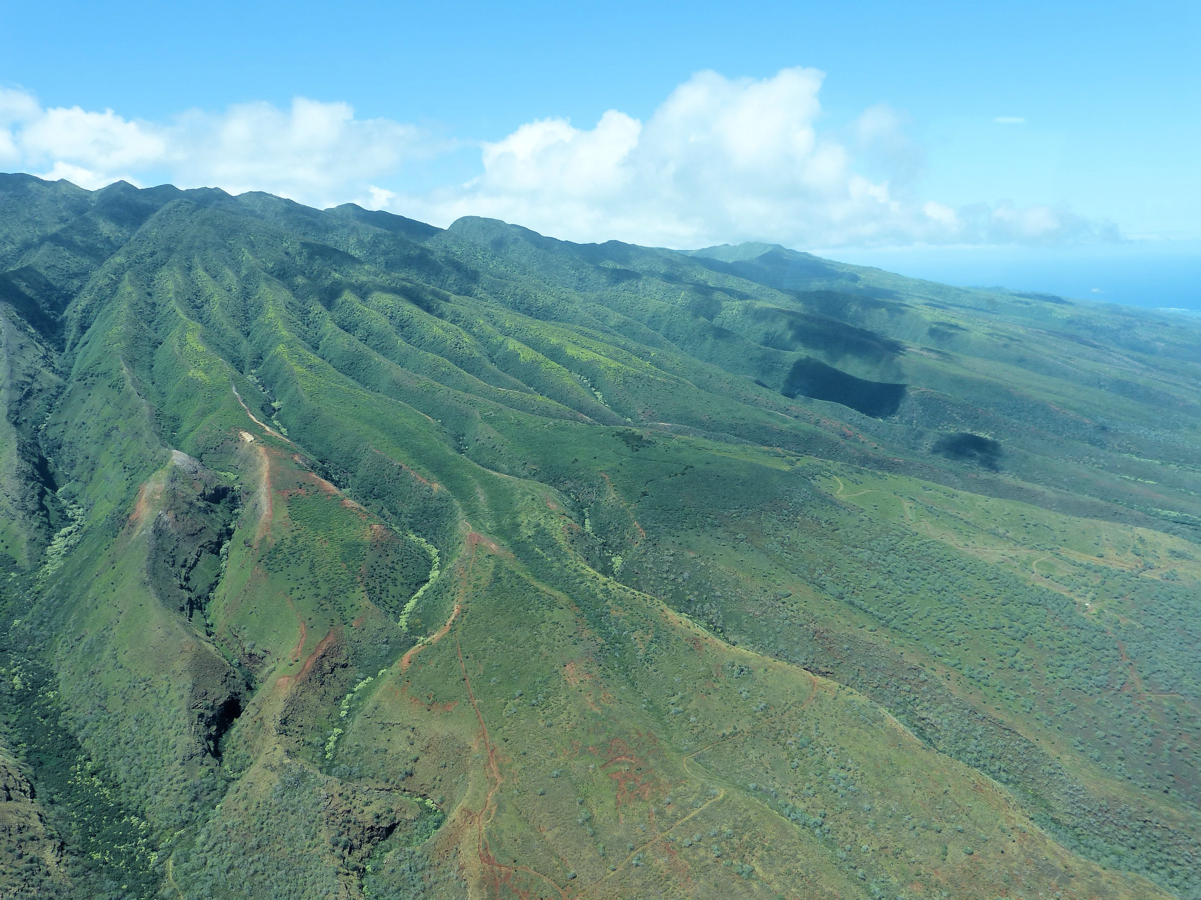
The East Molokaʻi mountains are the wet, densely forested eastern half of Molokaʻi’s shield volcano — a landscape of rain-carved amphitheatres, montane cloud forest and summit bog draining to the north-shore sea cliffs and the south-shore reef. The high point is Kamakou at about 1,515 m, the fifth-highest peak in the Hawaiian Islands, and the summit plateau holds a nationally significant concentration of native and endemic flora and fauna. The core protected area is Kamakou Preserve, roughly 11.5 km² of Molokaʻi Ranch land managed since 1982 by The Nature Conservancy in Hawaiʻi. The preserve is contiguous with the Molokaʻi Forest Reserve, administered by the Hawaiʻi Department of Land and Natural Resources (DLNR), Division of Forestry and Wildlife, and with the Puʻu Aliʻi and Olokuʻi Natural Area Reserves further to the north-east.
Access is by a single corridor: Maunahui Road (Molokaʻi Forest Reserve Road), a 4WD-only dirt track that leaves Highway 460 near Homelani Cemetery and climbs roughly 16 km to Waikolu Lookout at the rim, before continuing into Kamakou Preserve. There is no shuttle service, no public transport and no maintained road beyond the reserve boundary. The road is muddy after any recent rain and becomes impassable in wet spells; the only realistic drive-in window is a settled dry spell in the March–October trade-wind season. Visitors without a suitable 4WD depend on the monthly guided walk that TNC runs on one Saturday per month between April and October.
The plateau above Waikolu is a cloud-forest environment — cool, wet, and slippery on boardwalks and clay alike. Hunting is permitted in the surrounding forest reserve; wear bright colours off the boardwalks. The neighbouring Natural Area Reserves (Puʻu Aliʻi and Olokuʻi) are closed to general public access. The valley floors of the north-coast amphitheatres — Waikolu, Pelekunu, Wailau — are effectively inaccessible from above and are treated in the sea-cliff and cultural literature rather than as day-hikes.
Related entries: Molokaʻi sea-cliff day-hikes covers the coastal cliffs, Kalaupapa peninsula overlooks and the Hālawa Valley cultural walk on the same shield. Lānaʻi highlands day-hikes covers the neighbouring island’s ridge and cultural walks.
Selection rationale
Pēpēʻōpae is the plateau’s signature boardwalk into the summit bog and the only maintained interior walk in Kamakou — it is unambiguously the region’s canonical experience. Waikolu Lookout is the essential rim viewpoint into the north-coast amphitheatre and the only public campsite. Puʻu Kolekole is the counterpoint south-facing summit view. Maunahui Road to the sandalwood pit is the pragmatic culture-and-forest walk that stays accessible when the higher road is closed by mud. The monthly guided Kamakou walk is the only way in for visitors without 4WD and is retained here as a distinct entry because the access model differs entirely from the four self-drive options.
Summary table
| # | Hike | Country | Route type | Distance | Gain | Max elevation | Difficulty |
|---|---|---|---|---|---|---|---|
| 1 | Pēpēʻōpae Bog Boardwalk to Pelekunu Overlook | USA | Out-and-back | ~ 3.2 km | ~ 150 m | ~ 1,300 m | Easy but slippery |
| 2 | Waikolu Lookout and rim | USA | Drive-in + short walks | ~ 0.5–1 km on foot | Negligible | ~ 1,180 m | Easy |
| 3 | Puʻu Kolekole Trail | USA | Out-and-back | ~ 3.2 km | ~ 150 m | ~ 1,204 m | Moderate |
| 4 | Maunahui Road to Sandalwood Measuring Pit | USA | Out-and-back on 4WD track | ~ 6 km from reserve boundary | ~ 300 m | ~ 750 m | Moderate |
| 5 | TNC guided Kamakou Preserve walk | USA | Guided loop | ~ 4.8 km | ~ 200 m | ~ 1,300 m | Moderate |
1. Pēpēʻōpae Bog Boardwalk to Pelekunu Overlook
Snapshot
Itinerary
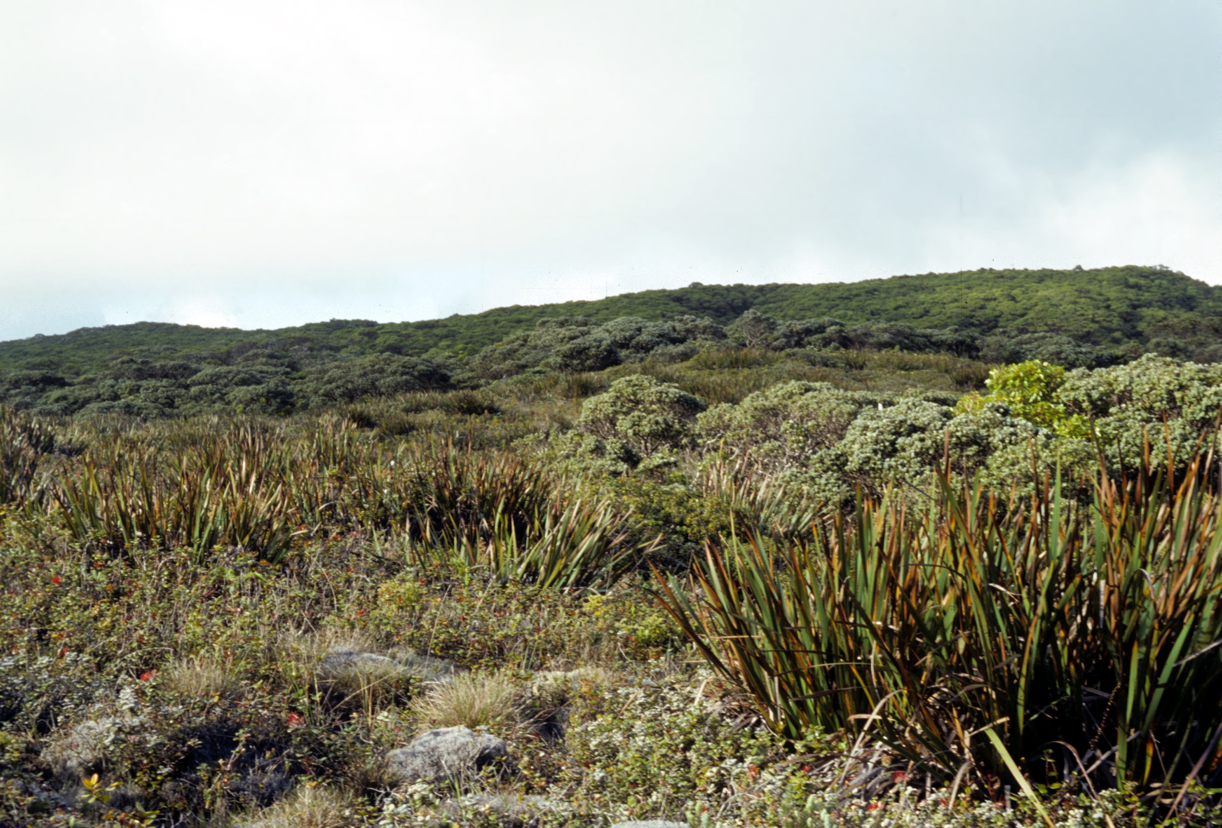
From the boardwalk trailhead inside Kamakou Preserve, follow the raised planks east through a summit bog of dwarf ʻōhiʻa lehua, ʻōlapa and native lobelias to the Pelekunu Valley Overlook, which sits above the head of one of Molokaʻi’s uninhabited north-coast valleys. The plateau is saturated peat; the boardwalk is the only way to cross it without destroying the vegetation and the small endemic invertebrate populations. Return the same way.
Why it is essential
Pēpēʻōpae is the East Molokaʻi shield’s signature environment — a high-elevation bog with a mix of dwarf ʻōhiʻa and endemic Drosophila and damselfly populations that is not accessible anywhere else on the island by trail. The Pelekunu overlook then delivers the north-coast amphitheatre view without the multi-day commitment of trying to reach the valley floor.
Equipment
Waterproof boots or trail shoes with grip, waterproof shell and warm layer, water, food, and — critically — gear that has been cleaned to prevent introduction of non-native seeds or plant pathogens (Kamakou is under a cleaning protocol enforced by TNC). Trekking poles help on the boardwalk.
Hazards and notes
Access requires prior contact with the TNC Molokaʻi field office (23 Pueo Place, Kaunakakai; weekdays 08:00–15:00; 808-553-5236; hike_molokai@tnc.org) and gear cleaning per TNC instructions. The 4WD approach on Maunahui Road is the practical crux: a settled dry spell is essential. Turn back if rain begins — the return drive can become impassable within an hour. Do not step off the boardwalk. Hunting is permitted in the adjacent forest reserve; the boardwalk itself is inside the preserve where hunting is prohibited.
GPX / route file
| Source | URL | Format / access | Reuse status |
|---|---|---|---|
| TNC — Kamakou Preserve | nature.org | Descriptive page; no GPX | Public agency; no GPX published |
| Nā Ala Hele | hawaiitrails.ehawaii.gov | Official trails portal | Public agency; interactive map |
Further reading
2. Waikolu Lookout and rim
Snapshot
Itinerary
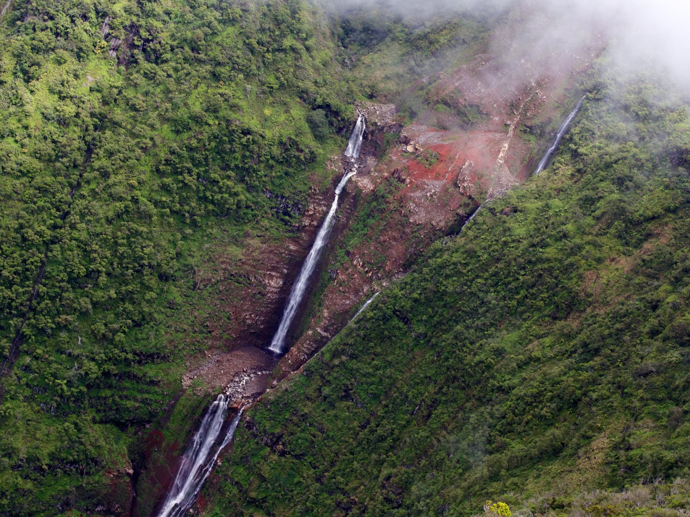
From the end of Maunahui Road, walk the short rim path to Waikolu Lookout for the view into the cathedral cliffs of the Waikolu Valley. Adjacent picnic area loops let visitors sample the ʻōhiʻa–koa forest edge. The lookout is also the sign-in point and campsite for those with a DOFAW permit continuing into the reserve.
Why it is essential
Waikolu Lookout is the only established public viewpoint into the north-coast amphitheatre from the plateau side. It is the pivot that gives visitors the East Molokaʻi shield’s north-shore character without leaving the road.
Equipment
Trail shoes, water, rain shell, warm layer for the morning cloud; the site is 1,000 m higher and much cooler than Kaunakakai.
Hazards and notes
The 4WD approach is the crux — see the region overview. Camping requires a DOFAW permit obtained in advance. Hunting is permitted in the surrounding forest reserve seasonally. Facilities at the lookout are a pit toilet and picnic tables; there is no water.
GPX / route file
| Source | URL | Format / access | Reuse status |
|---|---|---|---|
| DLNR — Molokaʻi Forest Reserve | dlnr.hawaii.gov | Reserve description | Public agency; no GPX published |
Further reading
3. Puʻu Kolekole Trail
Snapshot
Itinerary
Take the right-hand fork of the 4WD spur just below Waikolu Lookout and follow the ridge track south to the Puʻu Kolekole summit. The route stays inside mixed native forest and emerges to a panoramic view of Molokaʻi’s south coast, the reef and — on a clear day — Lānaʻi across the channel. Return the same way.
Why it is essential
Puʻu Kolekole is the counterpoint to Waikolu on the same drive — a south-facing summit that gives the coastal reef context that Waikolu, facing north into the pali, cannot. Together the two viewpoints give the full breadth of the East Molokaʻi shield in a single day.
Equipment
Trail shoes with grip, water, sun protection, and clothing that tolerates mud and overgrowth on the trail.
Hazards and notes
The trail is not maintained to the same standard as the Pēpēʻōpae boardwalk; expect route-finding in overgrown patches. Sign in with TNC before going. As with all East Molokaʻi mountain trails, the 4WD access road is the practical hazard.
GPX / route file
| Source | URL | Format / access | Reuse status |
|---|---|---|---|
| TNC — Kamakou Preserve | nature.org | Descriptive page | Public agency; no GPX published |
Further reading
4. Maunahui Road to Sandalwood Measuring Pit
Snapshot
Itinerary
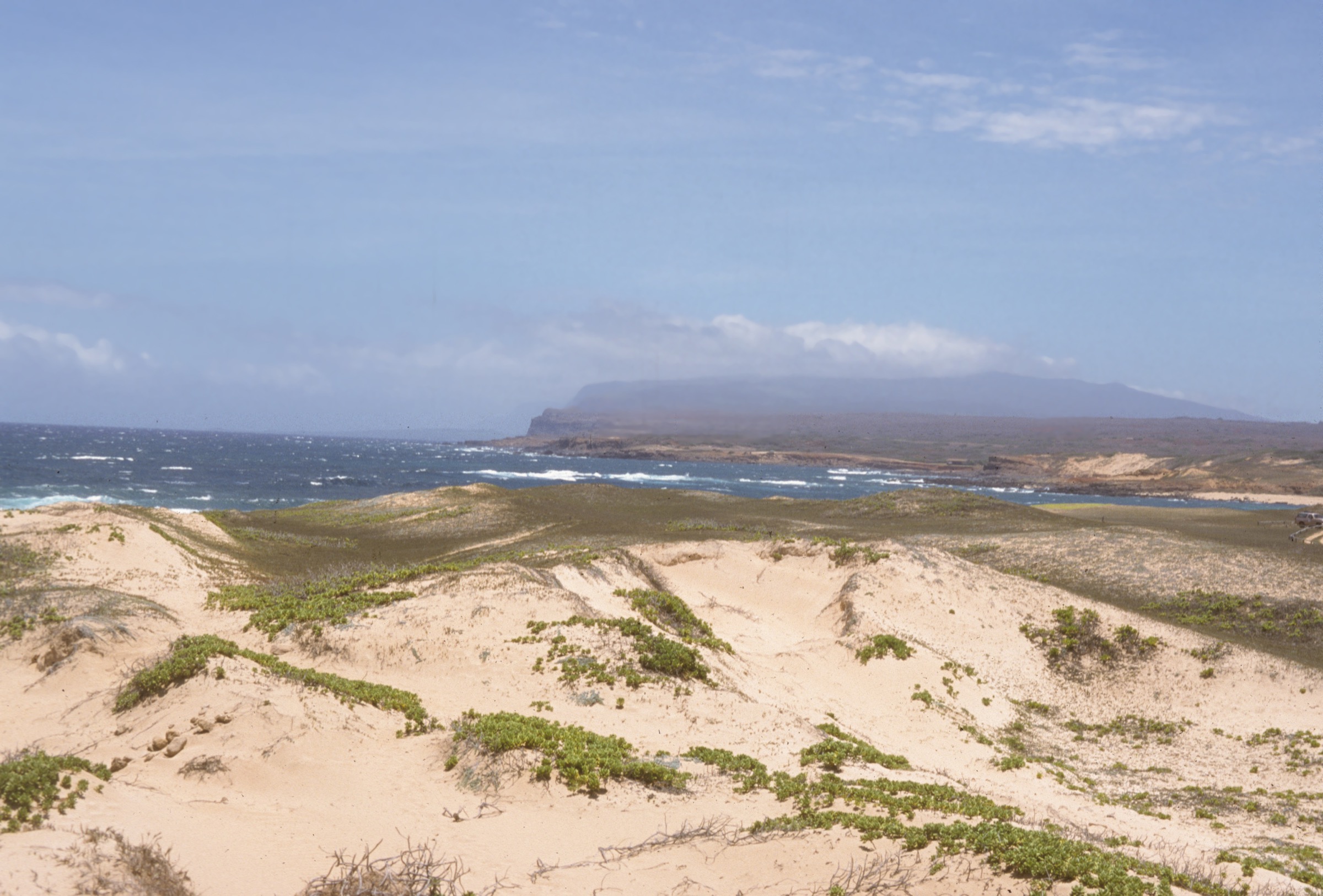
From the forest reserve boundary on Maunahui Road, walk the 4WD track uphill through introduced eucalypts and koa to Lua Moku Iliahi, a full-size ship’s-hold measuring pit carved into the ridge in the 1810s so that Hawaiian sandalwood harvesters could measure a bulk of logs equivalent to a Boston ship’s hold. Return the same way. The walk can be extended down the road toward the highway if the vehicle is parked lower for muddy conditions.
Why it is essential
The sandalwood pit is one of the most tangible surviving traces of the early-nineteenth-century Hawaiian sandalwood trade on any island. It is also the pragmatic default when the road above the reserve boundary is too greasy to drive: walking to the pit gives a full half-day in the reserve without depending on 4WD to Waikolu.
Equipment
Trail shoes, sun protection, water, rain shell.
Hazards and notes
The reserve road surface is red mud that stains fabric permanently after rain. Hunting is permitted seasonally. Keep to the road corridor — the surrounding reserve is closed to vehicles off the marked track.
GPX / route file
| Source | URL | Format / access | Reuse status |
|---|---|---|---|
| DLNR — Molokaʻi Forest Reserve | dlnr.hawaii.gov | Reserve description | Public agency; no GPX published |
| Nā Ala Hele | hawaiitrails.ehawaii.gov | Official trails portal | Public agency; interactive map |
Further reading
5. TNC guided Kamakou Preserve walk
Snapshot
Itinerary
The Nature Conservancy runs a guided walk on one Saturday per month between April and October. TNC provides road transport from Kaunakakai up Maunahui Road to the preserve, then guides visitors along a walking route that combines the Pēpēʻōpae boardwalk with adjacent spurs — including a section not normally described in self-guided literature. The group returns to Kaunakakai the same afternoon.
Why it is essential
The guided walk is the only realistic way to see Kamakou Preserve for visitors without a suitable 4WD, and the only way for anyone to receive on-site interpretation of the preserve’s endemic flora and fauna. Capacity is very limited and slots book weeks ahead.
Equipment
As for Pēpēʻōpae above — waterproof boots, waterproof shell, warm layer, food, water. TNC will normally brief participants on gear cleaning requirements when reserving the slot.
Hazards and notes
Reservation-required, one Saturday per month April–October; capacity approximately 10. Contact hike_molokai@tnc.org or 808-553-5236. Slots are typically full weeks in advance. The walk does not run in wet weather; a rain-out normally forfeits the slot for the month.
GPX / route file
| Source | URL | Format / access | Reuse status |
|---|---|---|---|
| TNC — Kamakou Preserve | nature.org | Programme page | Public agency; no GPX published |
Further reading
Notes and caveats
- Distances and elevation figures are rounded from TNC descriptions, DLNR reserve documentation, and community mapping. No official GPX or KML has been located for any of these routes; Nā Ala Hele’s interactive map is the closest thing to a canonical geometry source.
- Access to Kamakou Preserve is subject to prior arrangement with TNC’s Molokaʻi field office and to a gear-cleaning protocol. Do not enter without contacting the field office, as unannounced visits are inconsistent with the preserve’s protection regime.
- Maunahui Road is the practical access constraint for four of the five routes. It is a 4WD-only dirt road that is impassable after rain and requires a settled dry spell. There is no shuttle service.
- Puʻu Aliʻi Natural Area Reserve and Olokuʻi Natural Area Reserve are closed to general public access; do not attempt to enter either.
- Pālāʻau State Park’s wayside pavilion and campground remain closed under a DLNR notice updated 20 April 2026; that closure affects the sea-cliff overlook only and is discussed in the sea-cliff article.
- The valley floors of Waikolu, Pelekunu and Wailau are effectively inaccessible from above and are treated in the sea-cliff and cultural literature rather than as day-hikes.
Further reading
| Resource | Link |
|---|---|
| TNC — Kamakou Preserve | nature.org |
| DLNR — Molokaʻi Forest Reserve | dlnr.hawaii.gov |
| DLNR — Division of State Parks (Molokaʻi) | dlnr.hawaii.gov |
| DLNR — Molokaʻi Natural Area Reserves | dlnr.hawaii.gov |
| Nā Ala Hele trails portal | hawaiitrails.ehawaii.gov |
| Wikipedia — Kamakou | en.wikipedia.org |
| Wikipedia — Pēpēʻōpae | en.wikipedia.org |
| Wikipedia — Waikolu | en.wikipedia.org |