Regional overview
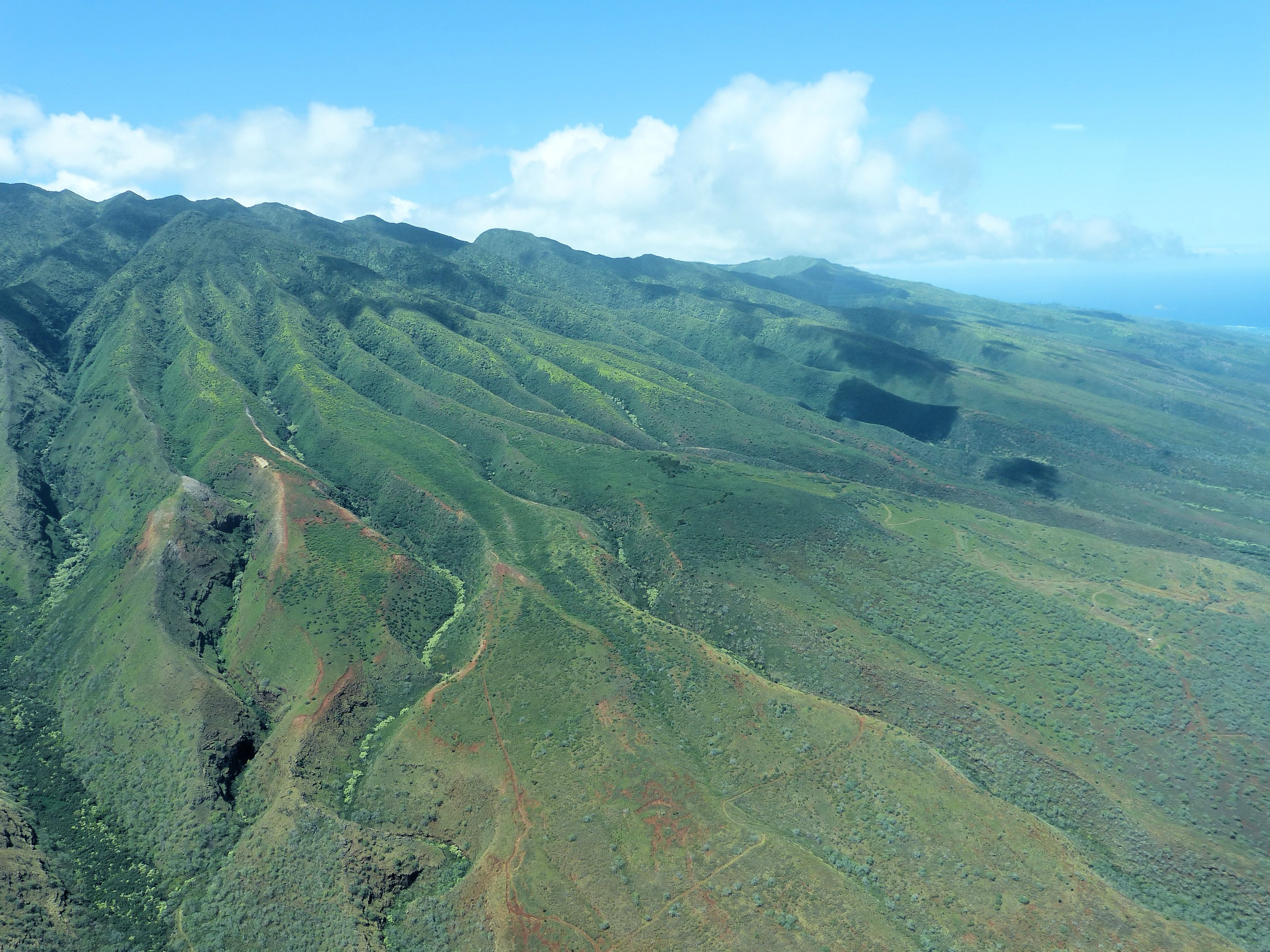
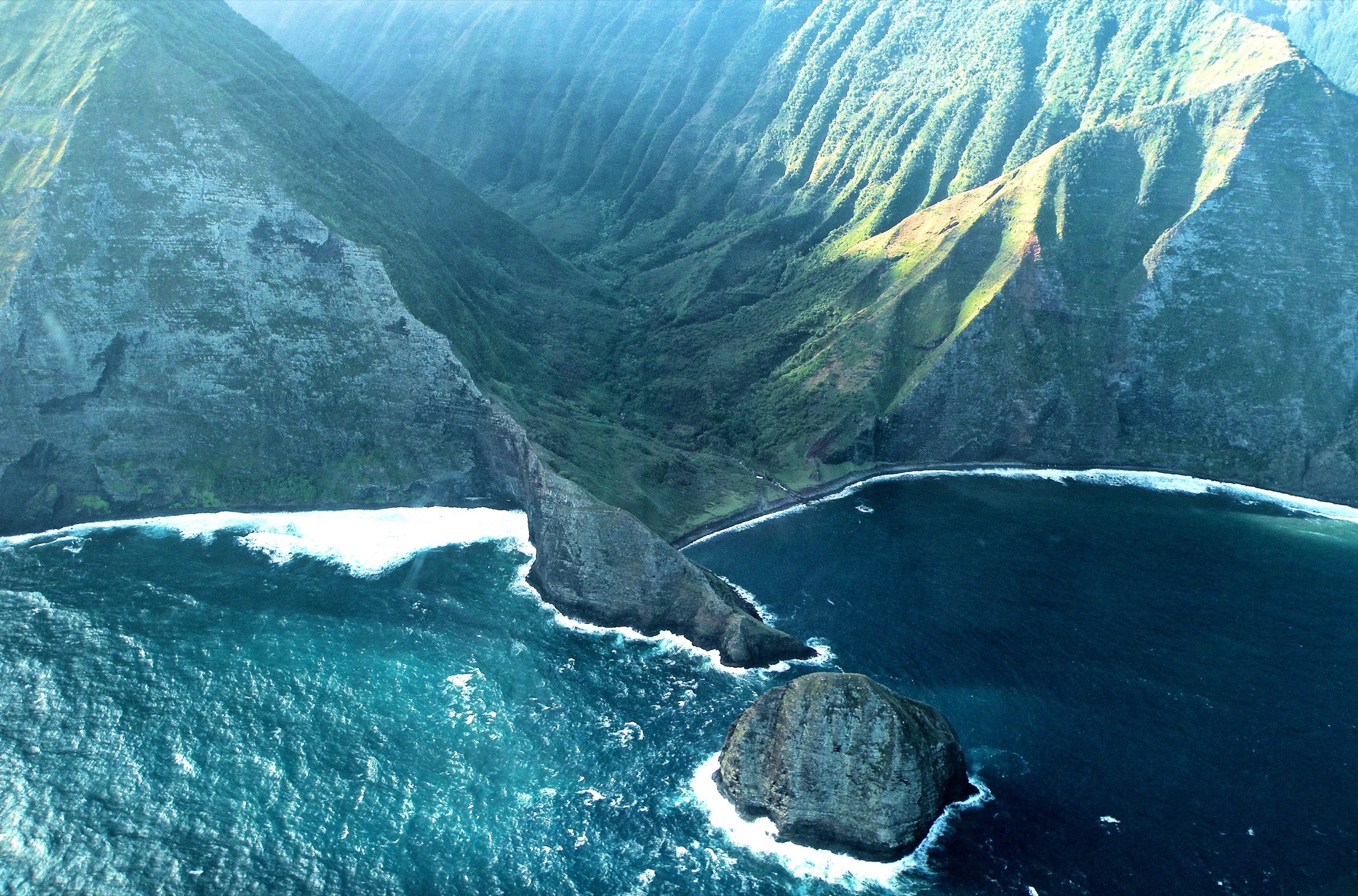
Molokaʻi’s north coast holds the highest sea cliffs in the world, plunging roughly 1,010 m from the summit plateau to the Pacific at Umilehi Point and continuing in a nearly unbroken wall from the Kalaupapa Peninsula east to the head of Hālawa Valley. The cliffs are the eroded remnant of the East Molokaʻi shield volcano, sheared away by a prehistoric north-flank landslide and worked over by 700,000 years of surf and rain. They are recognised as some of the tallest sea cliffs on Earth by the U.S. Geological Survey and are the defining landscape of the island.
The only breach in the wall is the Kalaupapa Peninsula, a young shield formed by the Kauhakō vent and sitting at the foot of the cliffs beneath the Pālāʻau plateau. Kalaupapa is a National Historical Park and remains a live settlement for the last surviving patients of the Hansen’s disease exile that ran from 1866 to 1969. Access is tightly controlled: the peninsula is legally closed to independent hikers, and the Kalaupapa Pali Trail — the switchback mule route down the cliff — is now open only via NPS-guided tours that started on 9 July 2026. The mule ride has not restarted since the 2018 rockfall closure, and no permit programme currently exists for private descent.
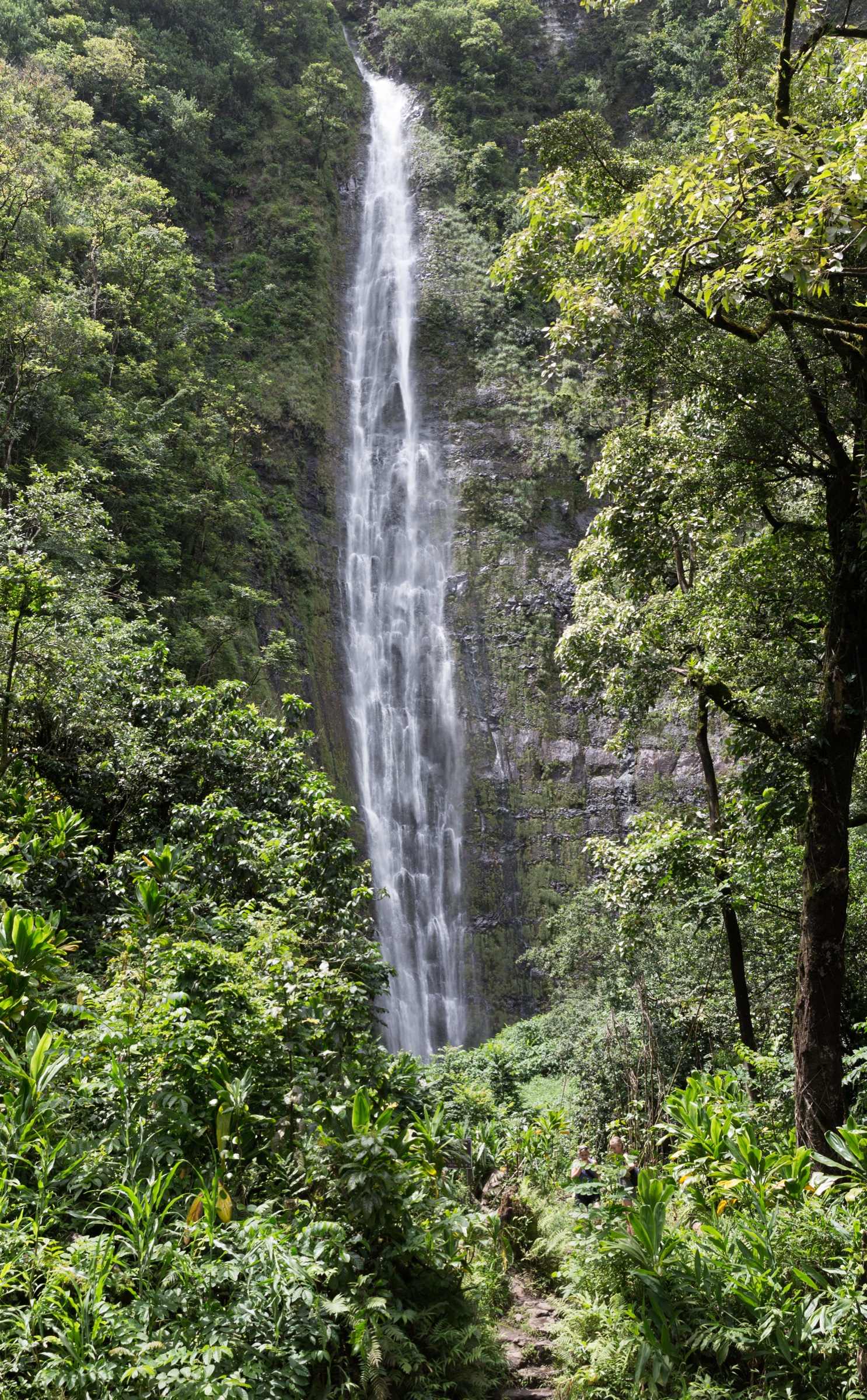
East of Kalaupapa the cliff wall is unbroken and inaccessible; the only ground-level access to this coast is from the sea by kayak or charter, weather permitting, in the summer trade-wind window. The one east-end valley that is accessible on foot is Hālawa at the very tip of the island, where a cultural walk with the Solatorio ʻohana leads to Moaʻula Falls. The west end of the island, though not a “sea cliff” landscape, is included here for one entry — the Papohaku Beach walk — because it is the only long shoreline walk on Molokaʻi and complements the cliff-viewpoint experience.
Related entries: East Molokaʻi mountains day-hikes covers the summit plateau above these cliffs. Lānaʻi highlands day-hikes covers the neighbouring island’s ridge and cultural walks.
Selection rationale
The five hikes below span the region’s genuinely walkable ground. The ranger-guided Kalaupapa Pali Trail is the region’s canonical descent — impossible to reach any other way — and its 2026 reopening makes it once again a real trip option. The Pālāʻau overlook is the essential top-down view of the peninsula and its cliff wall from the plateau. The Hālawa cultural hike is the only sea-level access into the north-east valleys and the only credible waterfall day-hike on the island. Papohaku is included for its length and beach-cliff geometry — Molokaʻi’s only long shoreline walk. The Kalae top-of-Pali walk is the free, drive-in complement to the paid ranger tour and is retained here because many visitors reach only this side of the peninsula.
Summary table
| # | Hike | Country | Route type | Distance | Gain | Max elevation | Difficulty |
|---|---|---|---|---|---|---|---|
| 1 | Kalaupapa Pali Trail (ranger-guided) | USA | Out-and-back with 26 switchbacks | ~ 9.6 km | ~ 520 m | ~ 520 m | Strenuous |
| 2 | Pālāʻau State Park — Kalaupapa Overlook and Phallic Rock loop | USA | Short loop | ~ 1.3 km | ~ 50 m | ~ 490 m | Easy |
| 3 | Hālawa Valley Falls cultural hike to Moaʻula Falls | USA | Guided out-and-back | ~ 6.8 km | ~ 180 m | ~ 200 m | Moderate |
| 4 | Papohaku Beach walk | USA | Point-to-point beach | ~ 4.8 km | Negligible | ~ 10 m | Easy |
| 5 | Kalae Highway — top-of-Pali viewpoint walk | USA | Out-and-back on paved shoulder | ~ 1–2 km | ~ 30 m | ~ 490 m | Easy |
1. Kalaupapa Pali Trail (NPS ranger-guided)
Snapshot
Itinerary
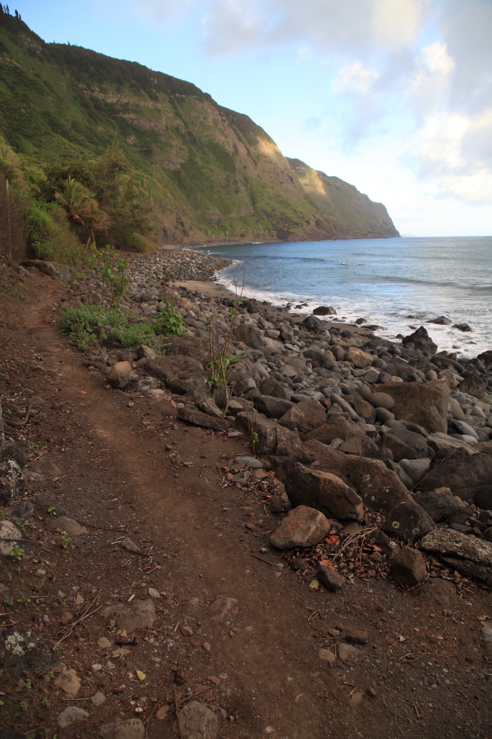
The Pali Trail leaves the top of the cliff near the Kalaupapa Overlook and descends 26 tight switchbacks — the same mule track cut in the 19th century — to a small gate at the peninsula’s neck. From there the guided group is led by ranger and settlement-affiliated staff around the historic settlement site, the beach and the churches, before reversing the climb. Independent walking on the trail or on the peninsula is not permitted; the walk is only possible as part of the National Park Service’s tour. Bookings open through the park’s tours page and must be made at least 24 hours in advance. The programme runs on Thursdays and Saturdays; the fee is USD 20 for the tour plus USD 1 for the hike permit.
Why it is essential
The Pali Trail is the only overland route into Kalaupapa and one of the very few places anywhere in the world where a public trail descends more than 500 m of continuous sea cliff. Since the 2018 rockfall closure, and with the mule ride suspended, the ranger-guided walk is now the only way to reach the settlement on foot. Beyond the physical route, the walk carries the story of the 8,000-plus Hansen’s disease patients exiled here between 1866 and 1969 — this is the reason the peninsula exists as a national park and the reason access is so tightly held.
Equipment
Sturdy boots with real tread — the clay is slick under any moisture. Trekking poles help the sustained descent and return climb. Two litres of water, food and light rain shell. A written booking confirmation is required at the trailhead.
Hazards and remarks
Bring the NPS confirmation and photo ID; the tour will not admit walk-ups. Do not photograph residents, homes or personal effects; the settlement is a lived community. Rockfall risk on the pali persists, particularly after rain. The trail is closed in wet weather at the guide’s discretion.
GPX / track
No public GPX is required for the tour. NPS provides trail description and maps on the park’s Pali Trail page.
Further reading
2. Pālāʻau State Park — Kalaupapa Overlook and Phallic Rock loop
Snapshot
Itinerary
From the car park at the end of Highway 470, follow the made path north through ironwood forest to the Kalaupapa Overlook, which sits directly above the settlement and looks across the full sweep of cliff wall to the east. Return to the junction and take the short spur south to Kaule o Nānāhoa (Phallic Rock), a lithified basalt formation long associated with fertility and one of the state’s most-photographed cultural sites. The paths are graded and largely flat.
Why it is essential
This is the only public top-down viewpoint of the Kalaupapa Peninsula and, on a clear morning, the single best short-walk view of a sea-cliff landscape in the state. The overlook interprets the settlement, the trail switchbacks and the geological story of the north-shore landslide, and pairs it with a highly culturally significant site at Nānāhoa. The two-viewpoint circuit is the essential context for the ranger-guided descent below and stands on its own for anyone who cannot take the tour.
Equipment
Trail runners, sun protection, water for the short walk. No permit required.
Hazards and remarks
Path edges near the overlook drop several hundred metres — hold small children close and do not cross rope barriers. Note the 20 April 2026 DLNR notice referenced by users concerning temporary partial closures in the park; verify status with the Molokaʻi office (808-567-6083) before travel.
GPX / track
Not required; single made-path circuit signed on site.
Further reading
3. Hālawa Valley Falls cultural hike to Moaʻula Falls
Snapshot
Itinerary
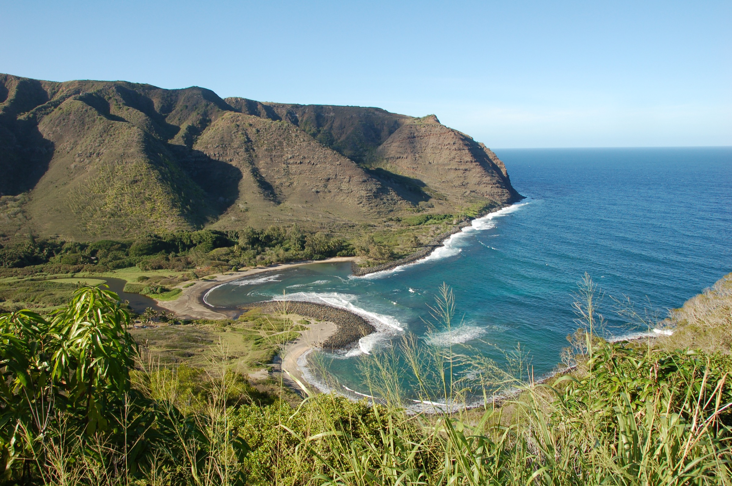
Meet the Solatorio family guides at the end of Highway 450. The walk opens with a formal cultural welcome at the family homestead, then follows the trail past taro terraces, ancient heiau and the ruins of Hawaiian settlement destroyed by the 1946 and 1957 tsunamis. The path continues up-valley through jungle to Moaʻula Falls, a two-tier plunge into a deep pool at the head of the accessible valley. Return the same way. Independent hiking beyond the beach park is not permitted — the land is private and the walk exists only as a booked cultural experience.
Why it is essential
Hālawa is one of the earliest continuously settled sites in the Hawaiian Islands and the only east-end valley reachable on foot. The walk connects Molokaʻi’s mountain-forest ecology, the sea-cliff geometry visible on the drive in, and living Hawaiian cultural practice, all in a single day. Moaʻula is the only major waterfall on the island that is publicly accessible, and doing the walk with the family owners rather than sneaking in solves the access question with respect and gets you the story the trail was made to carry.
Equipment
Trail runners or light boots you do not mind soaking, mosquito-strong clothing, insect repellent, 1.5–2 litres of water, sun-hat and a light rain shell. Bring cash for the fee if the operator prefers.
Hazards and remarks
The trail crosses the Hālawa Stream several times and can become impassable after rain. Do not swim under the falls if the water is high or brown. Leptospirosis is a documented risk in Hawaiian freshwater; do not enter with open cuts. Confirm current operator and price with the ʻohana before booking — commercial cultural walks in the valley change hands.
GPX / track
Guided route; no public GPX. Confirm current entry procedure with the Hālawa Valley Cultural Center at booking.
Further reading
- Hālawa Beach Park — DLNR
- Solatorio ʻohana cultural walk — direct bookings; see Molokaʻi Visitors Association listings
4. Papohaku Beach walk
Snapshot
Itinerary
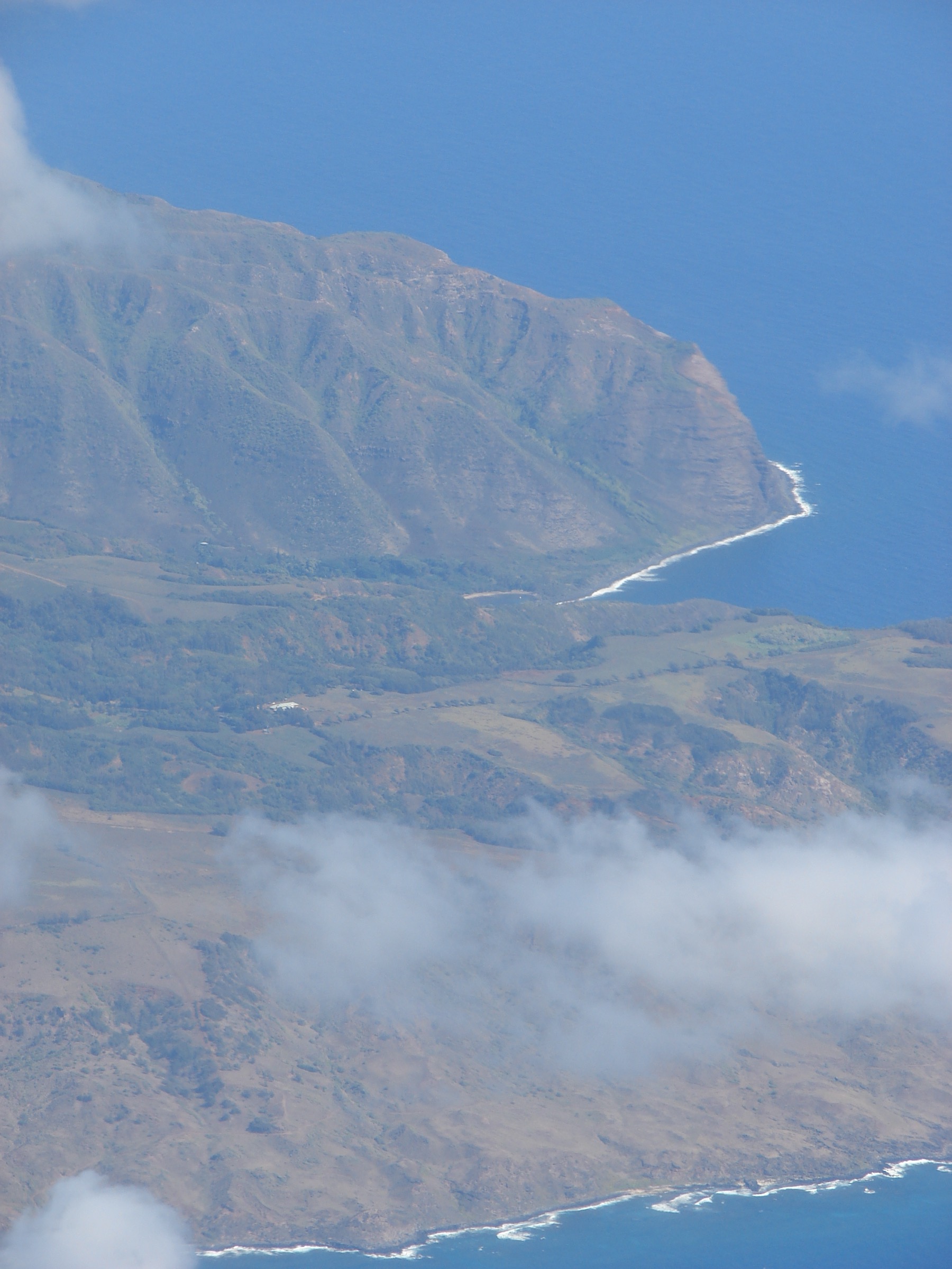
From the beach park, walk south along the sand toward the small headlands at the cliff base, then return. The strand runs roughly 4.8 km, is over 100 m wide in places, and looks directly across the Kaiwi Channel to Oʻahu. There are no marked waypoints — this is a walk-and-observe route rather than a trail.
Why it is essential
Papohaku is the only long shoreline walk on Molokaʻi and one of the largest white-sand beaches in the state. It sits at the west end away from the cliff wall, so it complements rather than duplicates the cliff-viewpoint hikes and is a useful weather-alternative when north-shore trailheads are wet. On a summer sunset the alignment of the strand toward Oʻahu is unmistakable.
Equipment
Sun protection, hat, 1.5 litres of water, sandals or trail runners. Nothing technical is required.
Hazards and remarks
The surf is unprotected and often has a strong shorebreak — swimming is not advised outside settled summer conditions. There is no lifeguard. The beach can also be dry-hot and shadeless; walk early or late.
GPX / track
Not required; single beach line.
Further reading
5. Kalae Highway — top-of-Pali viewpoint walk
Snapshot
Itinerary
Park on a wide turnout on Highway 470 near the entrance to Pālāʻau State Park and walk the paved shoulder south to the trailhead sign for the Kalaupapa Pali Trail. Do not proceed onto the trail — it is closed to independent hikers. From the trailhead area, short informal paths give an unobstructed north-facing view along the pali toward the peninsula and the switchback line dropping through ironwood. Return to the car park.
Why it is essential
This is the free complement to the Pālāʻau State Park loop and the closest a visitor can get to the top of the switchbacks without joining the ranger tour. On a clear morning it gives a nearly aerial view of the cliff face — the same line the mule teams took for 130 years — and closes a gap in the sea-cliff coverage for anyone doing a light day.
Equipment
Trail runners, sun protection, water. Nothing else.
Hazards and remarks
Traffic on the shoulder is light but present; walk facing traffic and stay off the road bed. Do not attempt to descend the Pali Trail — the National Park Service explicitly prohibits independent entry and enforcement is active.
GPX / track
Not required; on-road walk.
Further reading
Notes and caveats
- Independent entry to Kalaupapa remains prohibited. The 9 July 2026 launch of NPS ranger-guided Pali Trail tours is the only way to descend on foot; verify current status with the park before travel.
- North-coast valley access. Wailau, Pelekunu and the interior of the cliff wall are not day-hiking terrain and are not reachable overland from above. Sea access is weather-dependent and reserved to charter or experienced sea-kayakers.
- Weather closures. Trails and roads in this region close informally after heavy rain — the north-shore rainfall is not seasonal in the way trade-wind timing suggests. Always allow a contingency day.
- Cultural sensitivity. Kalaupapa is a living community; Hālawa is on private, culturally continuous land. Follow the guides’ instructions on photography, oli (chant) and offerings, and treat all sites as active rather than historical.