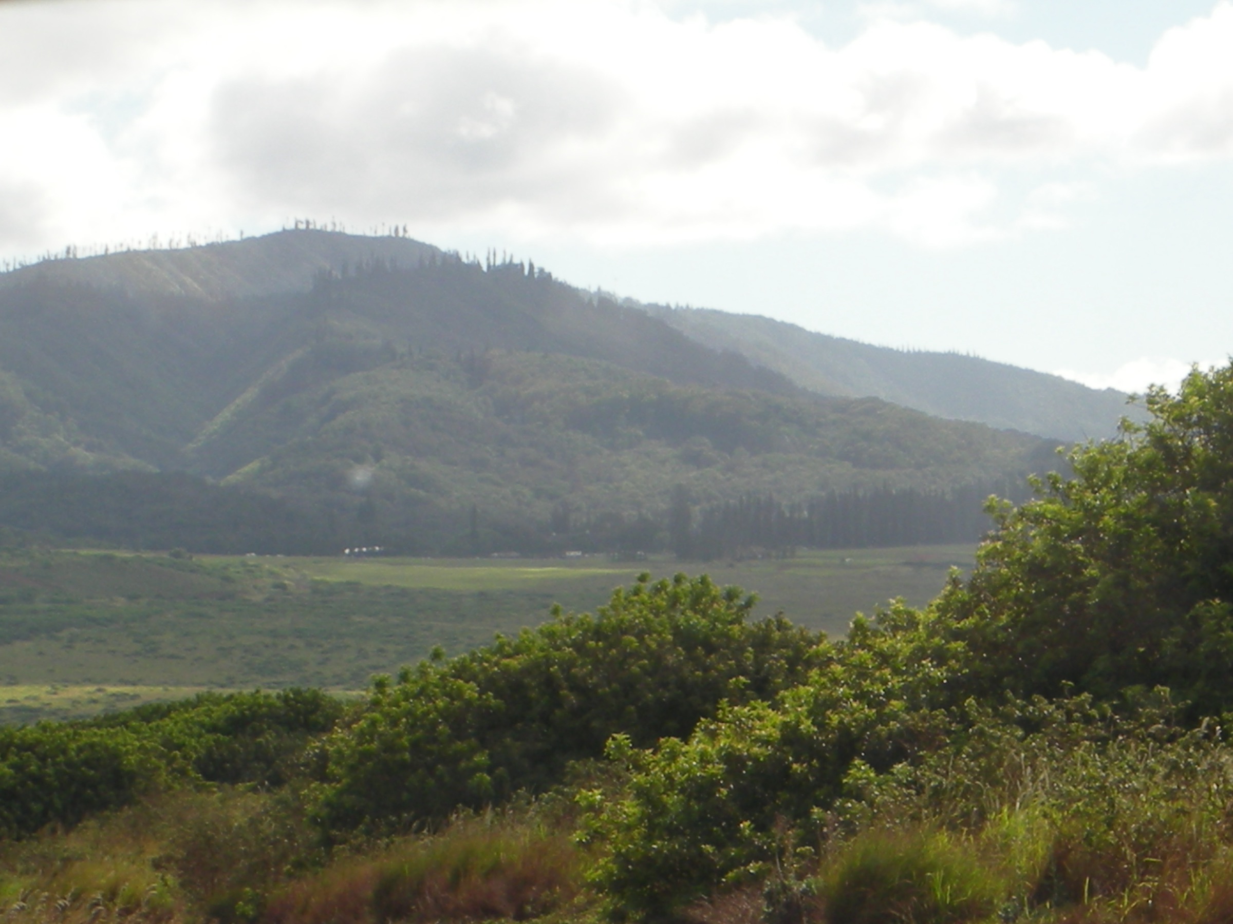
Regional overview
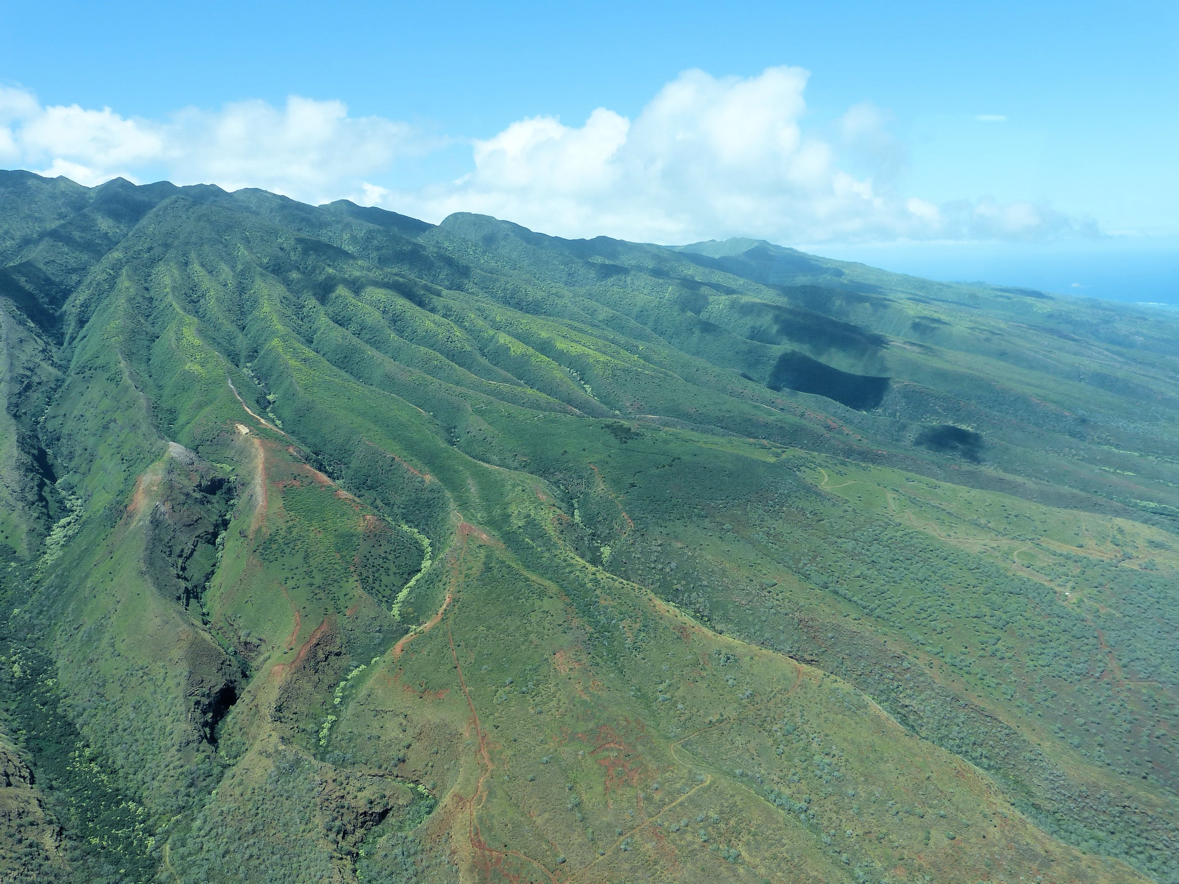
Lānaʻi is Hawaiʻi’s sixth-largest island — roughly 364 km² — and the low, single shield of an older volcano that rose from the sea about 1.5 million years ago. The high point is Lānaʻihale (“house of Lānaʻi”) at 1,027 m / 3,370 ft, the ridge that runs the north-east length of the island and catches the trade winds first. The summit ridge holds a fragment of native cloud forest — mainly the introduced Cook pines Norfolk Islander George Munro planted from 1911 onward to capture fog drip and rebuild the water table after 19th-century deforestation. The ridge overlooks the isthmus to Maunalei valley on one side and the Auau Channel on the other; on a clear day it takes in Molokaʻi, Maui, Kahoʻolawe and the distant peaks of the Big Island.
Almost the whole island — 98% — is privately owned by Larry Ellison’s Pulama Lānaʻi after his 2012 acquisition of Castle & Cooke’s Lānaʻi holdings. Public access to trails is a courtesy rather than a right: Pulama maintains the Munro Trail, the Kōloiki circuit and the coastal walks, and access can change on short notice. There is no state or national park land on Lānaʻi; the only quasi-public land is the Hawaiian Homes Commission acreage at Kaunolū and shoreline reserves. The Nā Ala Hele trails system does not currently list active Lānaʻi trails.
The island has two towns: Lānaʻi City in the highland saddle at ~500 m, and the resort strip at Mānele Bay. There is no public transport; visitors typically fly in from Honolulu (Hawaiian and Mokulele Airlines) or ferry from Lāhainā (the Expeditions ferry). Rental options are limited — a 4WD is needed for the Munro Trail and the coastal tracks — and Lānaʻi City has a single fuel station. This shapes hike planning more than any single trail feature.
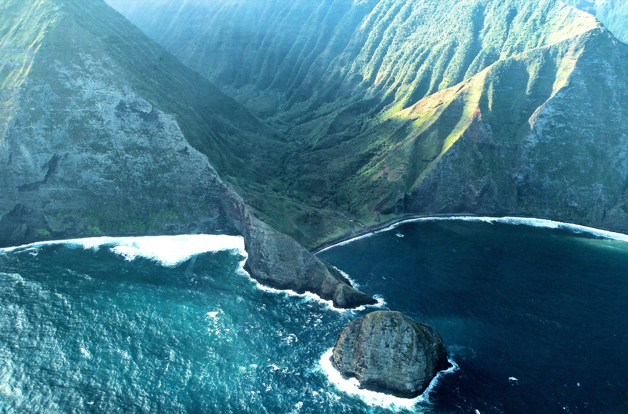
Related entries: East Molokaʻi mountains day-hikes covers the summit plateau of neighbouring Molokaʻi. Molokaʻi sea-cliff day-hikes covers the north-shore cliffs visible from Lānaʻi’s north-facing beaches.
Selection rationale
Lānaʻi is a small island and the walkable ground is small — five is a defensible ceiling rather than a floor. The Munro Trail to Lānaʻihale is the island’s canonical ridge and the only summit view. The Kōloiki Ridge circuit is the short, on-foot alternative for those without 4WD and is directly accessible from Lānaʻi City. Puʻu Pehe is the coastal counterpart to the ridge and the island’s most photographed feature. Kaunolū is the archaeological and cultural anchor — a National Historic Landmark and one of the best-preserved pre-contact village sites in the Hawaiian Islands. Shipwreck Beach with the Kukui Point petroglyphs is the north-shore complement and the only long walk on this coast. Together the five span ridge, coastal cliff, archaeological village and shore, which is the honest span of what Lānaʻi offers on foot.
Summary table
| # | Hike | Country | Route type | Distance | Gain | Max elevation | Difficulty |
|---|---|---|---|---|---|---|---|
| 1 | Munro Trail to Lānaʻihale | USA | Out-and-back on 4WD ridge track | ~ 20 km on foot from Lānaʻi City | ~ 800 m | ~ 1,027 m | Strenuous |
| 2 | Kōloiki Ridge Trail | USA | Loop from Lānaʻi City | ~ 8 km | ~ 250 m | ~ 700 m | Moderate |
| 3 | Puʻu Pehe (Sweetheart Rock) overlook | USA | Out-and-back on coastal path | ~ 2 km | ~ 60 m | ~ 60 m | Easy |
| 4 | Kaunolū Village and Kahekili’s Leap | USA | Out-and-back on 4WD track then walk | ~ 3 km on foot | ~ 100 m | ~ 100 m | Easy but exposed |
| 5 | Shipwreck Beach to Kukui Point petroglyphs | USA | Out-and-back on beach and coastal track | ~ 5 km | Negligible | ~ 15 m | Easy |
1. Munro Trail to Lānaʻihale
Snapshot
Itinerary
From the north edge of Lānaʻi City, the Munro Trail begins as a public 4WD track that climbs into the Cook-pine plantation planted by George Munro from 1911 to catch fog drip and rebuild the island’s water table. The track undulates along the summit ridge with intermittent views west to Molokaʻi and east to Maui — Haleakalā rises directly across the ʻAuʻau Channel. Roughly 10 km in, a spur left reaches the summit of Lānaʻihale, marked by a survey pin and a wooden sign. From clear-day highs the panorama takes in five Hawaiian islands, including the profile of Mauna Kea 250 km to the south-east. Return by the same track.
Why it is essential
Lānaʻihale is the island’s high point, the only summit view on Lānaʻi and one of only a handful of viewpoints anywhere in Hawaiʻi from which five islands are simultaneously visible. The Cook-pine plantation along the ridge is itself part of the story — a rare deliberate reforestation of a Hawaiian ridge to restore fog-drip hydrology, and a landscape found nowhere else in the state. This is the canonical Lānaʻi ridge experience and the reason the highland region exists as a distinct catalogue entry.
Equipment
Boots with strong tread — the ridge holds mud after any rain. Two litres of water minimum; there is no water on the ridge. Fleece and rain shell — the summit is 500 m higher than town and often 5–8 °C cooler. GPS on the phone; junction signage is not always maintained.
Hazards and remarks
The track holds deep mud after rain and can become impassable to 2WD and even 4WD. There is no cell service on most of the ridge. Hunting is permitted on Pulama land, so wear bright colours. Access is a courtesy from Pulama Lānaʻi and can be revoked at any time — check current status at the Lānaʻi Culture and Heritage Center or the Sensei Lānaʻi concierge before travel.
GPX / track
Refer to AllTrails Munro Trail for a current GPX; treat as an approximate reference rather than an authoritative route.
Further reading
2. Kōloiki Ridge Trail
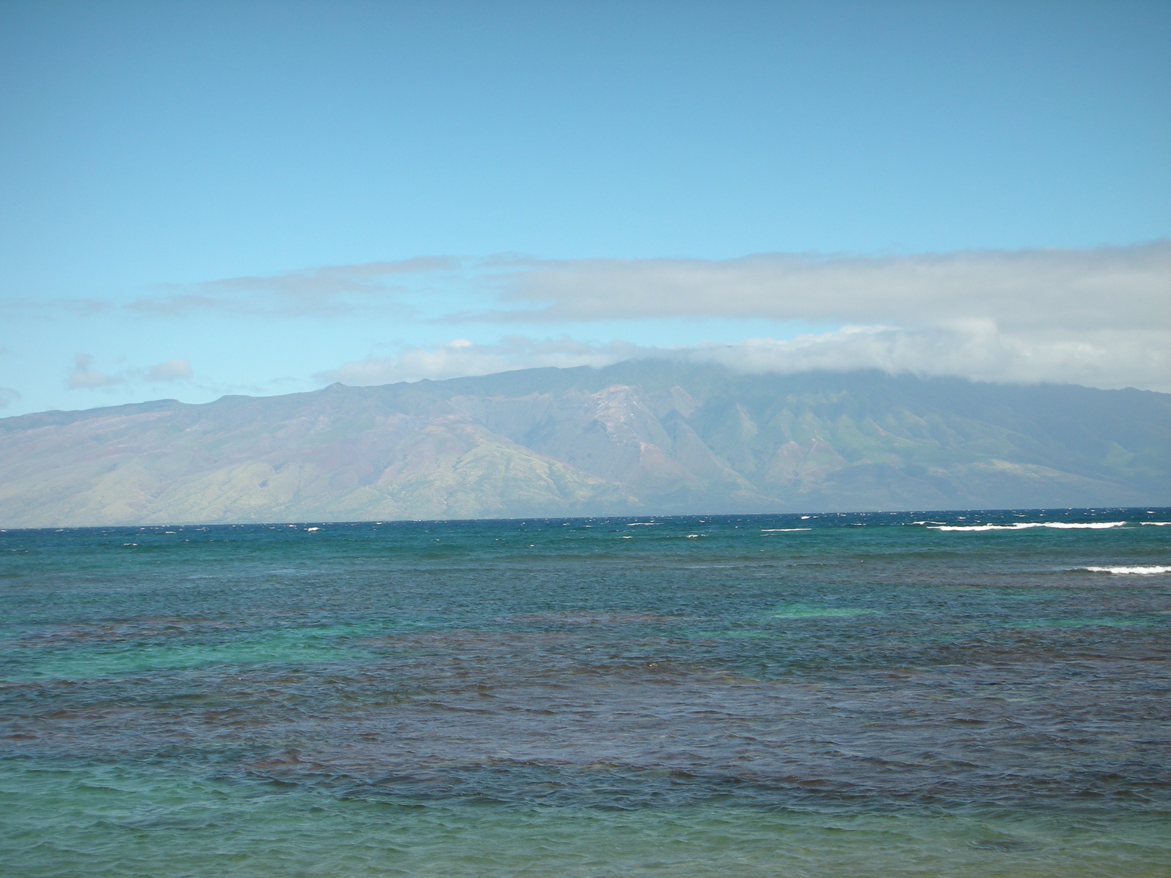
Snapshot
Itinerary
Leave the Sensei Lānaʻi lodge on the north edge of Lānaʻi City and follow the signed access track up through Cook-pine plantation to the Munro Trail. Bear right on the ridge for roughly 1 km, then take the marked left spur down to the Kōloiki Ridge lookout — a projecting rock nose looking east into the deep amphitheatre of Maunalei valley and, on clear days, across the ʻAuʻau Channel to Maui. Return by the same route or complete the loop via the lower access road back to town.
Why it is essential
Kōloiki is the canonical short Lānaʻi ridge walk — the option for anyone who cannot commit to the full Munro traverse or does not have a 4WD. The lookout gives the island’s single best view into Maunalei valley, the deep windward canyon that fed the pre-contact settlement of the island, and it is walk-in from Lānaʻi City with no vehicle needed. As a half-day walk out of the only town it also serves as the arrival-day acclimatisation for the longer Munro summit day.
Equipment
Trail runners or light boots, 1.5 litres of water, sun protection and a light rain shell. No permit required.
Hazards and remarks
Cell service is intermittent on the ridge. Do not stray onto game paths off the trail — hunting is permitted on the surrounding Pulama land. Trail signage is subject to change; carry a downloaded map.
GPX / track
Refer to the AllTrails Kōloiki Ridge Trail entry; verify current status with the Sensei Lānaʻi concierge.
Further reading
3. Puʻu Pehe (Sweetheart Rock) overlook
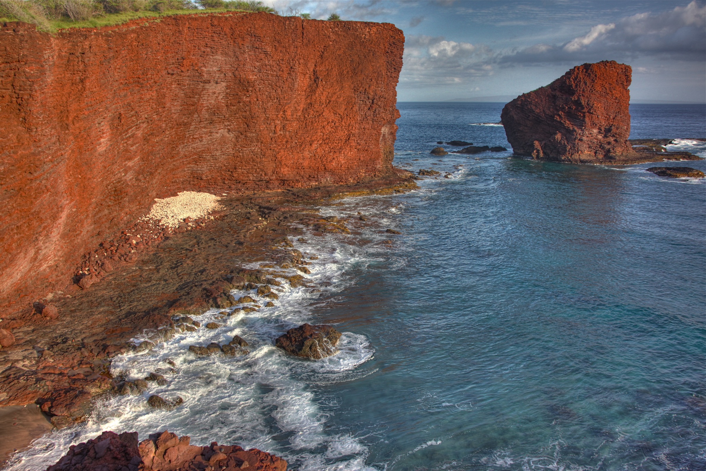
Snapshot
Itinerary
From the east end of the Hulopoʻe Beach car park, follow the signed coastal path up onto the ʻāina puna sandstone headland that separates Hulopoʻe from Mānele Bay. The path climbs gently over lithified sand to the overlook, from which Puʻu Pehe — the 24 m sea stack — rises directly offshore. On top of the stack sits a low stone platform associated with the legend of a Hawaiian couple, Pehe and Makakehau. Return by the same path. Do not attempt to reach the stack — the swim is dangerous and landings are prohibited.
Why it is essential
Puʻu Pehe is Lānaʻi’s single most photographed feature and the most compact hike-and-view combination on the island. The headland is a Marine Life Conservation District, one of the healthiest reef systems in the Hawaiian Islands, and the walk pairs geology (lithified sand dune), archaeology (the summit platform) and marine biology in under an hour. It also gives a working introduction to Hulopoʻe’s snorkeling, which most Lānaʻi visitors will do the same day.
Equipment
Sun protection, water, sandals or trail runners. Reef-safe sunscreen if pairing with snorkeling below.
Hazards and remarks
The sandstone edges are undercut in places; stay on the marked path and do not approach cliff edges. Do not enter the water from the base of the stack — currents are strong and access is prohibited by the conservation district.
GPX / track
Not required; single made path.
Further reading
4. Kaunolū Village and Kahekili’s Leap
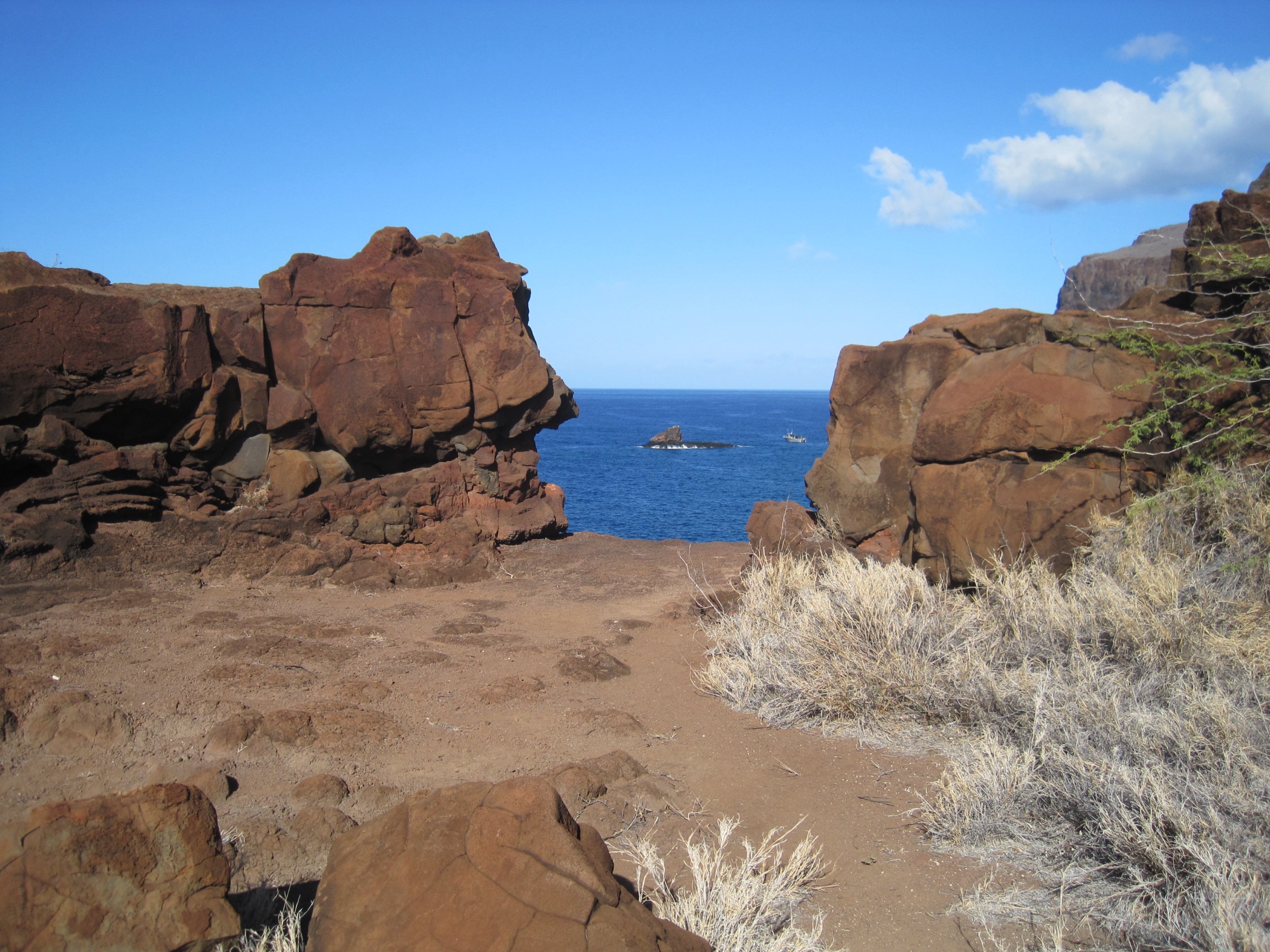
Snapshot
Itinerary
Kaunolū sits at the end of a rough 4WD track off the Palawai basin south-west of Lānaʻi City. From the informal parking at the site, walk down through the ruins of the fishing village — house terraces, canoe shed platforms and the great heiau Halulu — to the cliff edge. A short spur leads to Kahekili’s Leap, a natural notch in the sea cliff from which chief Kahekili is said to have leapt into the Pacific 20 m below to prove his bravery. Return through the site by a different line to see the shrine and canoe shelters in daylight from the seaward side.
Why it is essential
Kaunolū is a National Historic Landmark and one of the largest, best-preserved pre-contact Hawaiian village sites in the archipelago. Kamehameha I is documented to have fished here in the early 1800s. The site connects the island’s ridge landscape (visible from the cliff edge) with its coastal archaeology and gives the island a cultural depth the ridge hikes alone do not carry. It is also the only place on Lānaʻi where a visitor can walk directly through the pre-contact village geography rather than seeing it in fragments.
Equipment
Boots or trail runners with grip — the cliff-edge terrain is uneven. Two litres of water; there is no shade at the site. Sun-hat and sunscreen. A copy of the Lānaʻi Culture and Heritage Center site guide adds significantly to the visit.
Hazards and remarks
The cliff edges are unfenced and rot dramatically after rain — stay well back. Do not remove stones, shells or artefacts. Do not walk on heiau platforms. The approach road is 4WD-only and impassable after rain; do not attempt in a rental sedan.
GPX / track
Refer to the Lānaʻi Culture and Heritage Center’s Kaunolū interpretive materials; no formal published trail exists.
Further reading
5. Shipwreck Beach to Kukui Point petroglyphs
Snapshot
Itinerary
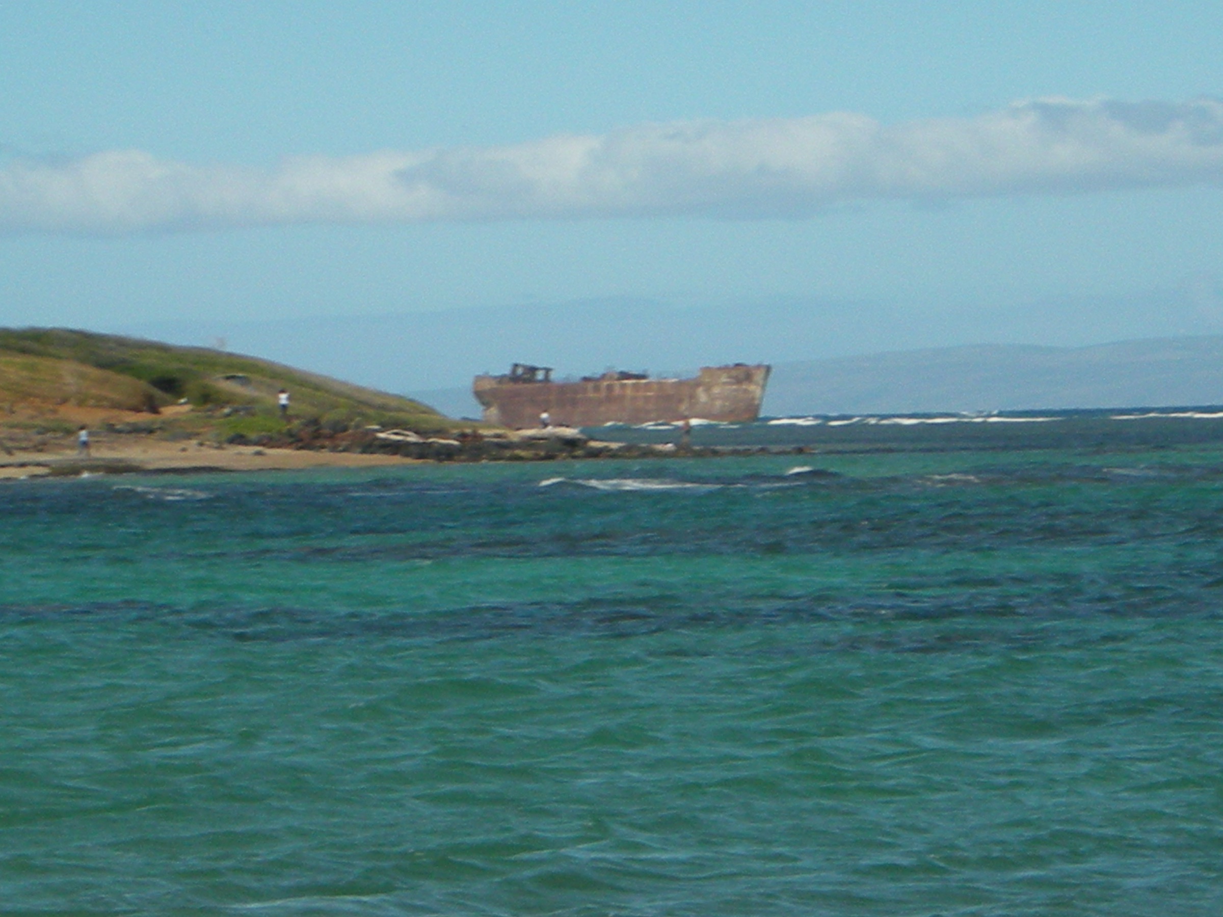
Drive Keomuku Highway north-east from Lānaʻi City and continue on the unpaved coastal road to the Poaiwa area — the last section requires 4WD. From the informal parking at the end of the sealed section, walk west along Kaiolohia’s coarse-sand beach to the grounded YO-21 hull, a Liberty-era concrete-hulled freighter that has been on the reef since 1948, then continue to the signed Kukui Point petroglyph field where several dozen figures — canoes, humans, dogs — are pecked into large boulders just above the strand line. Return by the same route. The panorama across the Kalohi Channel is dominated by the south-facing shore of Molokaʻi.
Why it is essential
Kaiolohia is Lānaʻi’s most active shipwreck coast — currents in the Kalohi Channel have grounded vessels here for two centuries — and the walk pairs that maritime history with one of the largest publicly accessible petroglyph fields in the Hawaiian Islands. It is also the only long coastal walk on Lānaʻi that faces Molokaʻi directly and gives the visitor the geographical link between the two islands treated together in this catalogue.
Equipment
Trail runners, sun protection, hat, 1.5 litres of water. Reef-safe sunscreen if snorkeling; the reef is shallow and lively.
Hazards and remarks
Currents in the Kalohi Channel are among the strongest in the state — do not swim beyond the reef. Do not touch or make rubbings of the petroglyphs. The 4WD track sections closer to the water can flood at very high tides.
GPX / track
Refer to the Lānaʻi Culture and Heritage Center Kaiolohia guide for the on-foot line; no formal published GPX exists.
Further reading
Notes and caveats
- Access is a courtesy. Almost the entire hikeable landscape is privately owned by Pulama Lānaʻi and access to trails, tracks and cultural sites can be restricted or closed at short notice. Verify current status at the Lānaʻi Culture and Heritage Center or the Sensei Lānaʻi concierge before travel.
- 4WD is essential for most of these walks. Munro Trail approaches, Kaunolū and the Shipwreck Beach coastal road all require 4WD; rental availability on Lānaʻi is limited and expensive. Book vehicles well in advance.
- No public transport. There is no bus network; visitors depend on the hotel shuttle, private hire and rental vehicles. Plan hikes around single-vehicle logistics.
- Cultural sensitivity. Kaunolū and the Kukui Point petroglyph field are Hawaiian cultural sites — do not touch, sit on, or remove elements. Do not walk on heiau platforms.