Regional overview
The South San Juans are the southern lobe of Colorado’s San Juan Mountains, running from Wolf Creek Pass on US 160 south along the Continental Divide to the New Mexico border. The core of the area is the South San Juan Wilderness, designated in 1980 and covering roughly 158,790 acres (643 km²) of the Rio Grande and San Juan National Forests, taking in the headwaters of the Blanco, Navajo and Conejos rivers and the upper drainages of the San Juan and Piedra. Summit Peak (4,054 m / 13,304 ft) is the range high point; Montezuma Peak (4,008 m / 13,150 ft) sits a short traverse to the south on the Divide. The wilderness is one of the least-visited large tracts in Colorado and holds long stretches of trail with no reliable water and few maintained crossings.
The usable day-hike terrain sits mostly on the wilderness fringe. Wolf Creek Pass is the highest paved access on US 160 at 3,309 m (10,857 ft); from the pass a Rio Grande National Forest road climbs to the Lobo Overlook at 3,570 m (11,760 ft), giving foot access straight onto the Continental Divide Trail. The Pagosa Springs side, twenty minutes west of the pass, opens the Piedra River, Fourmile, Quartz Lake and Little Blanco corridors on the San Juan National Forest. The east side of the range is reached from South Fork via long gravel roads to Elwood Pass and the Treasure Creek trailheads, which put Summit and Montezuma peaks within a demanding day.
The walking season is shorter than the lower Colorado ranges but longer than the interior Weminuche. Wolf Creek Pass regularly holds one of the deepest snowpacks in the state; the top of Alberta Peak, the CDT above Elwood, and the high lake basins usually clear between mid-July and September, and afternoon thunderstorms over the Divide are near-daily in that window. Lower forest and waterfall trails — Treasure Falls, the Piedra canyon — open earlier and stay dry into October. Forest roads to the wilderness interior, in particular FSR 380/243 to Elwood and Treasure Creek, are rough, high-clearance tracks and can be closed by snow or storm damage well into July.
Designated wilderness regulations apply throughout the South San Juan Wilderness: no mechanised travel including bicycles, e-bikes and drones, party-size and stock limits, and dispersed-camping setbacks from lakes and streams. The range is core habitat for black bear and elk and is on the fringe of Colorado’s recently reintroduced wolf range; standard food storage and wildlife etiquette apply. Mobile signal drops out at the pass and is absent across almost all the wilderness interior — an offline map, a paper backup and a hard turnaround plan matter more here than on the Front Range classics. The larger Weminuche Wilderness to the north-west is covered separately in the companion Weminuche Wilderness day-hikes entry.
See also: Colorado: Weminuche Wilderness day hikes · Colorado: Uncompahgre Wilderness day hikes.
Selection rationale
The five routes below spread across the three usable South San Juan approach corridors — Wolf Creek Pass on US 160, Pagosa Springs on the west, and Elwood Pass on the east — and cover the range’s four signature day-hike landscapes: a roadside waterfall, a short summit on the Continental Divide, a river-canyon walk, a wilderness lake basin, and a 13,000-foot summit. Distances run from a 1.6 km waterfall out-and-back to a 15 km wilderness lake return, with elevation gains from 90 m to roughly 900 m. Maximum elevations climb to 4,054 m on Summit Peak, so altitude is the controlling fitness factor on two of the five.
Summary table
| # | Hike | Country | Route type | Distance | Gain | Max elevation | Difficulty |
|---|---|---|---|---|---|---|---|
| 1 | Treasure Falls | USA | Out-and-back | 1.6 km | 90 m | 2,525 m | Easy |
| 2 | Alberta Peak from Wolf Creek Pass (CDT) | USA | Out-and-back | 9.3 km | 307 m | 3,619 m | Moderate |
| 3 | Piedra River Trail — First Bridge | USA | Out-and-back | 6.4 km | 150 m | 2,300 m | Easy–moderate |
| 4 | Quartz Lake via Little Blanco Trail | USA | Out-and-back | 15.0 km | 709 m | 3,536 m | Hard |
| 5 | Summit Peak via Treasure Creek | USA | Out-and-back | 12.9 km | 900 m | 4,054 m | Hard |
1. Treasure Falls
Snapshot
Itinerary
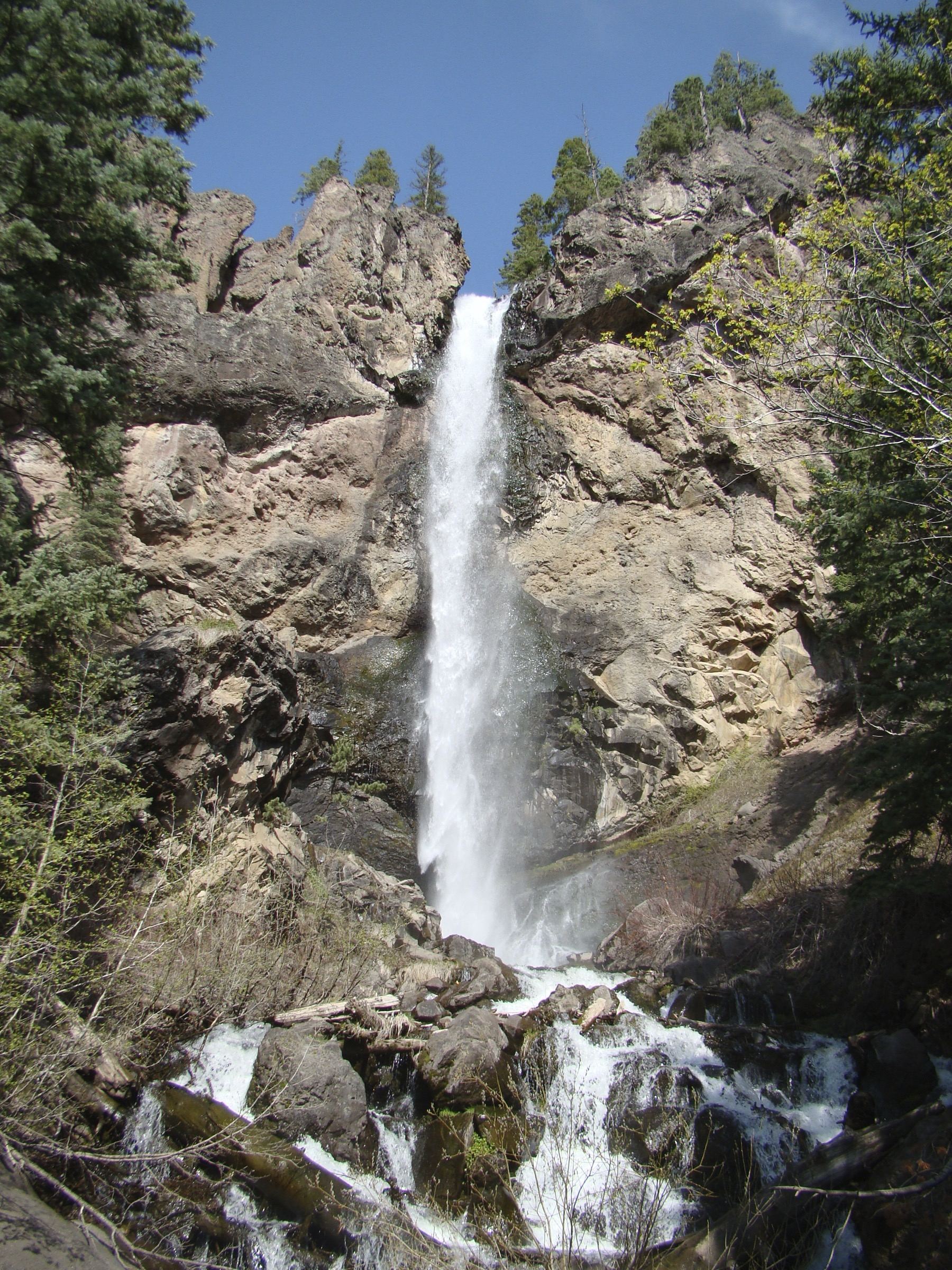
From the paved pull-off on the north side of US 160, a short, well-graded path climbs through mixed forest to a footbridge and viewing platform above Fall Creek. Treasure Falls drops roughly 32 m (105 ft) off the shoulder of Treasure Mountain into the creek, which then joins the West Fork of the San Juan River below the road. The route is one of the shortest legitimate hikes in the Wolf Creek corridor and doubles as the standard leg-stretch for travellers driving the pass. The trailhead sits at approximately 2,470 m (8,105 ft) and the upper platform at roughly 2,525 m (8,288 ft), based on regional trail summaries.
Why it is essential
Treasure Falls is the most accessible South San Juan waterfall and the standard introduction to the range for anyone crossing Wolf Creek Pass. It gives a compact sample of the wet, spruce-fir west side of the Divide without any of the road, altitude or mileage commitment of the wilderness routes further into the range.
Equipment
Trail shoes or light boots with grip for the wet, sometimes muddy section near the platform, a rain layer for pass weather, water, and sun protection. No specialist gear required.
Hazards and notes
The paved lower section can hold ice into May and the upper path is steep, wet and slippery in spring runoff. Mist off the falls soaks the rock viewing platform. Wolf Creek Pass weather changes quickly — afternoon thunderstorms in summer close in with little warning. Dogs must be leashed at the trailhead.
GPX / route file
| Source | URL | Format / access | Reuse status |
|---|---|---|---|
| AllTrails — Treasure Falls Trail | alltrails.com | Source map / downloadable route via AllTrails account | AllTrails terms apply; direct GPX not retrieved; source-map reference only |
| Pagosa Springs Area Trails — Treasure Falls | pagosatrails.org | Regional trail portal | No direct GPX published; access and trail context |
Further reading
2. Alberta Peak from Wolf Creek Pass (CDT)
Snapshot
Itinerary
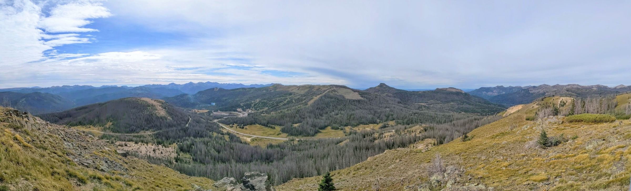
The route follows Alberta Peak Trail #813, which is signed as a section of the Continental Divide Trail from the top of Wolf Creek Pass. From the pass parking lot at 3,309 m (10,857 ft), the trail climbs south-east through spruce-fir forest and switchbacks up the east flank of the ridge above the Wolf Creek Ski Area, passing a talus slope known locally as the “Rock Garden”. After roughly 1.5 km the trail breaks out of the trees onto the open Continental Divide and traverses south to the base of Alberta Peak. The CDT skirts the peak on the west, but a short rocky scramble on Class 2 terrain reaches the summit at 3,619 m (11,870 ft). Views take in the Wolf Creek basin, Alberta Reservoir, the East Fork Valley and the northern edge of the South San Juan Wilderness.
Standard practice is to return by the same line. Continuing south on the CDT extends the day toward Bonito Pass and adds significant distance without a clean day-hike turnaround.
Why it is essential
Alberta Peak is the cleanest short summit day on the Wolf Creek Pass side of the range. It puts a walker on the Continental Divide within a few hours of a paved trailhead, samples the highest exposed CDT terrain in the South San Juans, and works as a strong altitude and weather test before the deeper wilderness routes further south.
Equipment
Sturdy footwear with grip for the summit talus, insulating layer and rain shell, sun protection, water with treatment, food, and a wind layer for the exposed ridge. Trekking poles help on the descent. Microspikes are useful in early season and after summer snow squalls.
Hazards and notes
The final third of the route is fully above treeline and directly on the Divide — lightning exposure is the headline risk and afternoon thunderstorms are near-daily in July and August. Start early and turn around at any sign of building cells. Lingering snow on north aspects can complicate the summit scramble into July. The parking lot itself sits at 3,309 m; walkers arriving from lower elevations should expect measurable altitude effect.
GPX / route file
| Source | URL | Format / access | Reuse status |
|---|---|---|---|
| AllTrails — CDT Section 35: Wolf Creek Pass to South River Peak | alltrails.com | Source map / downloadable route via AllTrails account | AllTrails terms apply; direct GPX not retrieved; source-map reference only |
| CDT Coalition — Wolf Creek Pass to Rock Lake | cdtcoalition.org | Official CDT day-hike suggestion page | No direct GPX published; route and access context |
| Pagosa Springs Area Trails — Alberta Peak Trail #813 | pagosatrails.org | Regional trail portal | No direct GPX published; route context |
Further reading
- Continental Divide Trail Coalition
- Pagosa Springs Area Trails — Alberta Peak Trail #813
- SummitPost — Alberta Peak
3. Piedra River Trail — First Bridge
Snapshot
Itinerary
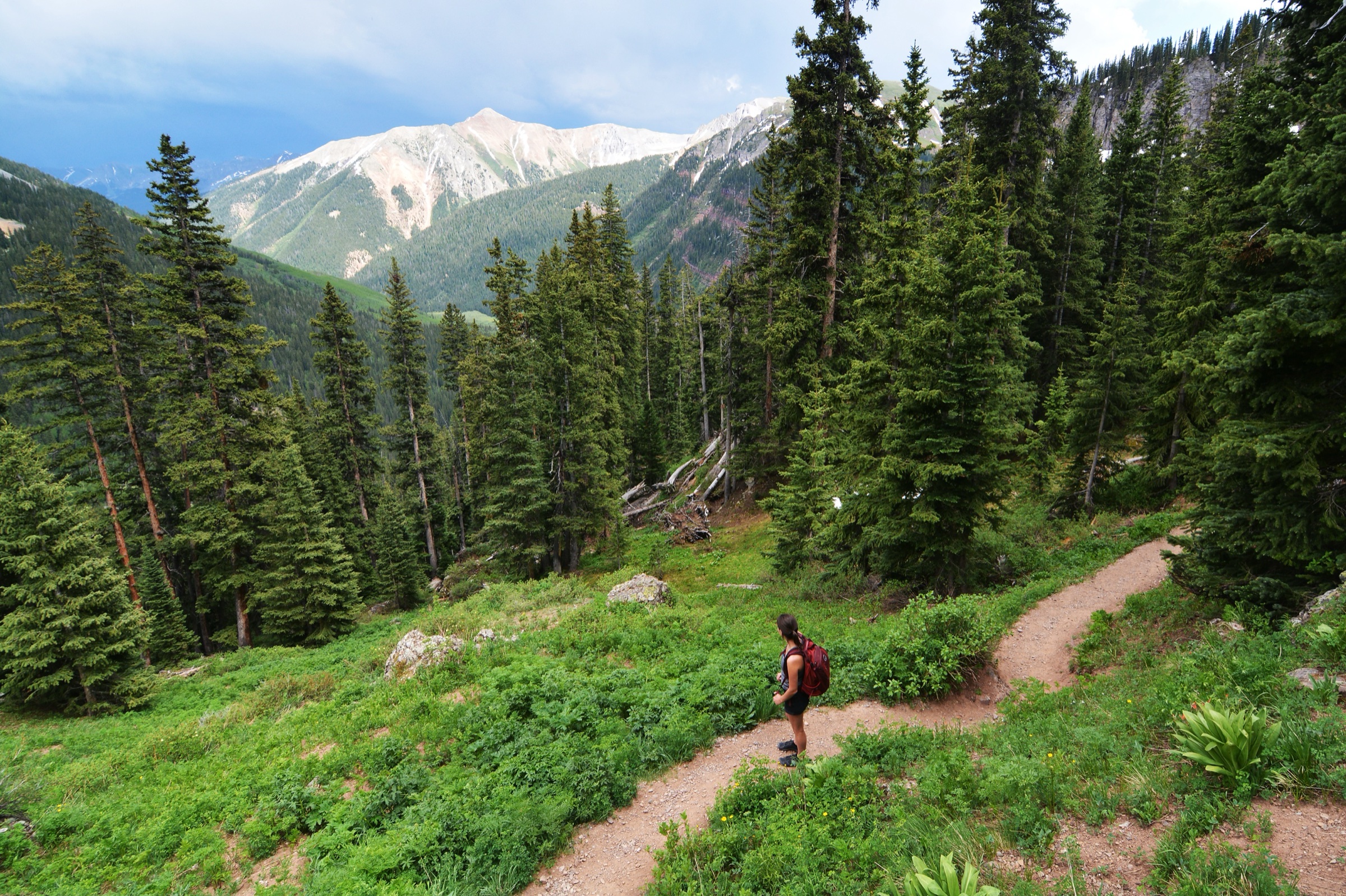
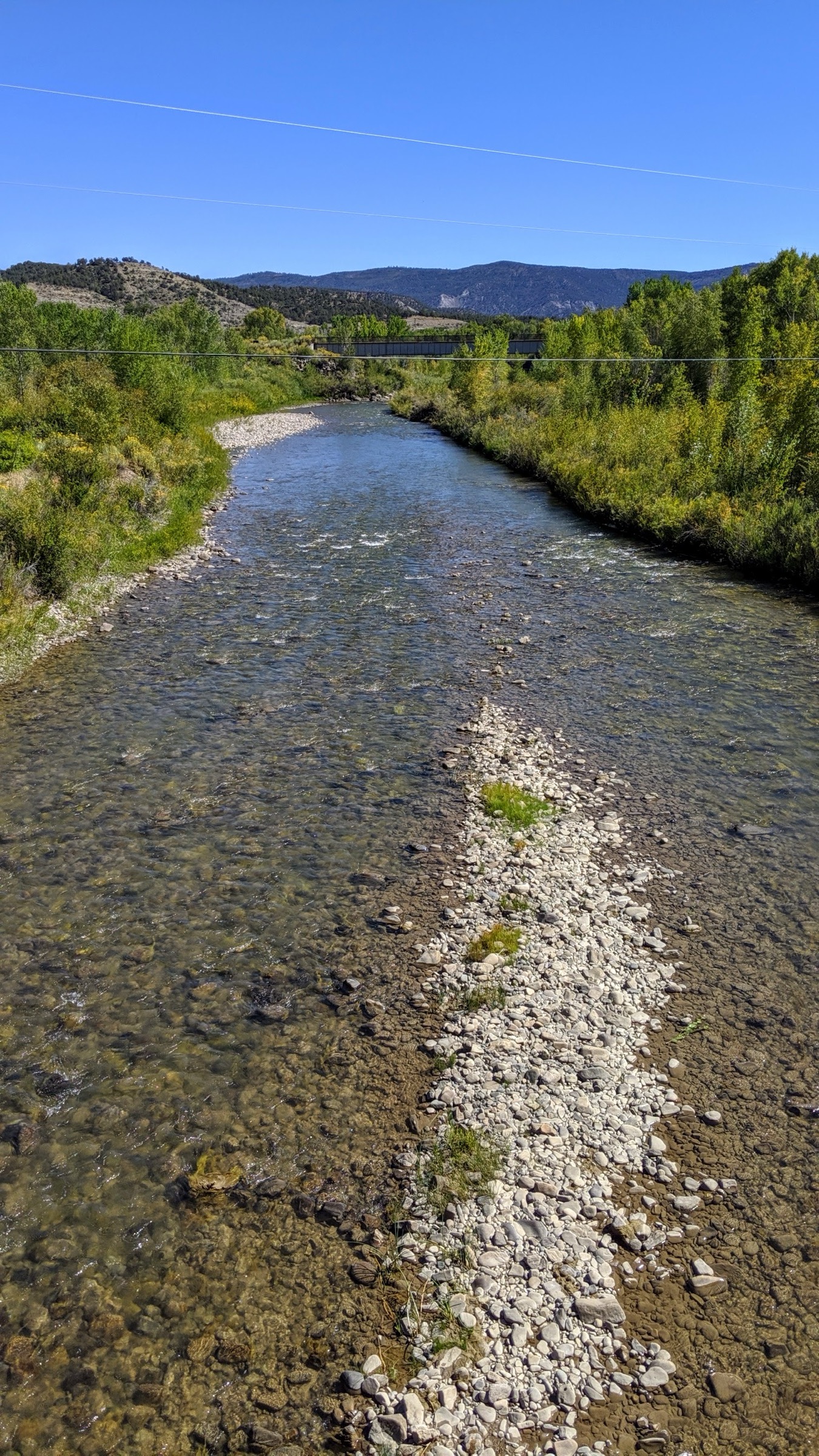
The Piedra River Trail (#596) runs the length of the Piedra Area between the upper (First Fork) trailhead north of Pagosa Springs and the lower (Lower Piedra) trailhead on US 160. From the upper trailhead the trail drops quickly to the river through mixed spruce, fir and aspen, then follows the canyon downstream on a mostly rolling line with intermittent rock benches, deep pools and short climbs over side ridges. Regional trail descriptions place the Williams Creek footbridge at roughly 2 km / 1.75 mi in from the top; standard practice is to walk that far, take lunch by the confluence, and return the same way for a round trip in the 6–7 km range.
Mountain bikes and motorised vehicles are prohibited in the Piedra Area, so the corridor stays quiet even in mid-summer. The full 17 km one-way trail is a strong two-day backpack rather than a day-hike; the First Bridge turn is the standard day objective.
Why it is essential
The Piedra corridor rounds out a selection otherwise dominated by high-altitude Divide routes with a lower, forested, water-focused walk that opens earlier and closes later than the wilderness alternatives. The Piedra River itself is a designated Wild and Scenic candidate and one of the cleanest canyon walks on the Pagosa Springs side of the range.
Equipment
Trail shoes or light boots, water with treatment, food, sun protection where the trail leaves the trees, and an offline map. Trekking poles help on the rocky descent from the upper trailhead. No specialist gear.
Hazards and notes
The trail is quiet enough that navigation slips are the main risk if walkers push past the Williams Creek bridge without a plan. Bear activity is standard along the river corridor. High water can make side-creek fords awkward through late June. Confirm current road status on Piedra Road (NFSR 631) with the Pagosa Ranger District before driving — the surface is graded gravel with weather-dependent conditions.
GPX / route file
| Source | URL | Format / access | Reuse status |
|---|---|---|---|
| Hiking Project — Piedra River Trail #596 | hikingproject.com | Source map / downloadable route | Adventure Projects / Hiking Project terms apply; direct GPX not retrieved |
| USDA Forest Service — Piedra River Trail | fs.usda.gov | Official trail page | No GPX published; access and trail context |
| Pagosa Springs Area Trails — Piedra River Trail #596 | pagosatrails.org | Regional trail portal | No direct GPX published; access and route context |
Further reading
- USDA Forest Service — Piedra River Trail
- Pagosa Springs Area Trails — Piedra River Trail #596
- Wikipedia — Piedra River (Colorado)
4. Quartz Lake via Little Blanco Trail
Snapshot
Itinerary
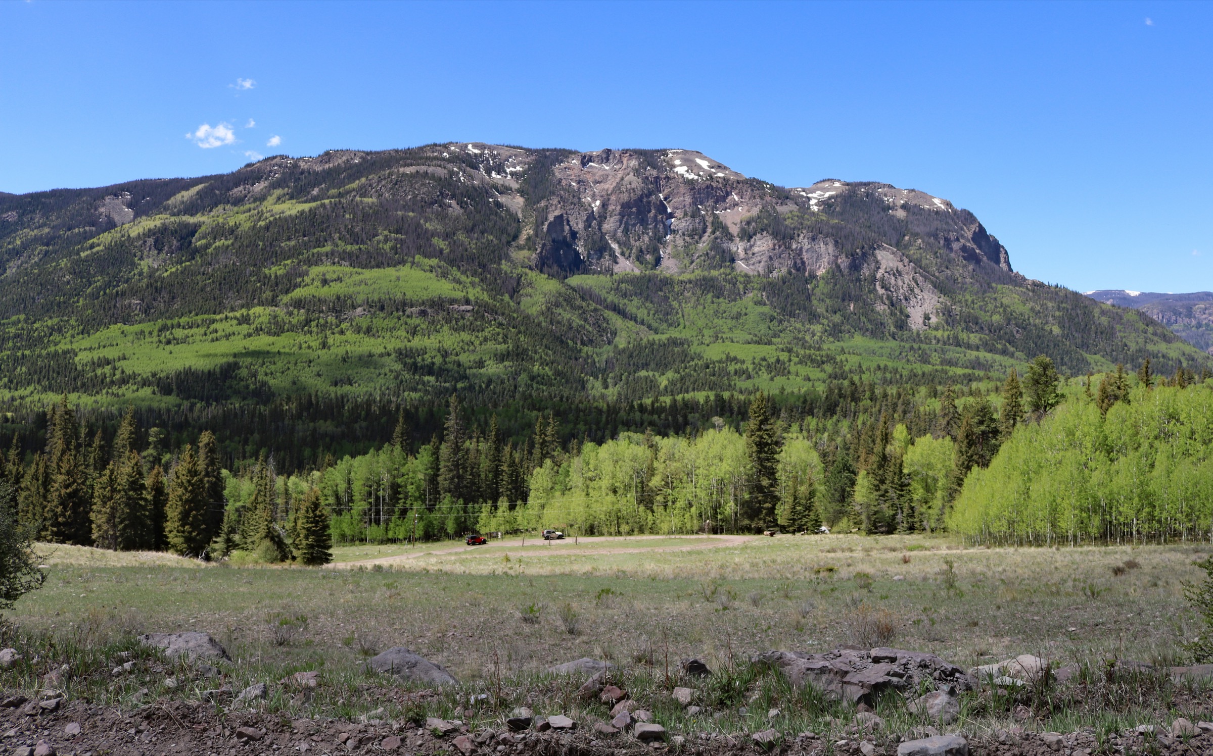
From the trailhead at roughly 3,060 m (10,040 ft), the route follows Little Blanco Trail #572 along a mostly open ridge for 3.4 miles (5.5 km), climbing steadily through spruce-fir islands and subalpine meadow with wide views across the South San Juan Wilderness. The trail crests near 11,600 ft (3,536 m) before dropping into the Quartz Lake basin on Quartz Lake Trail #568, which loses about 485 ft (148 m) over the final 0.8 km down to the lake at roughly 3,388 m (11,115 ft). AllTrails records the round trip at 9.3 miles with about 2,325 ft (709 m) of total gain including the return climb out of the basin.
The route is legitimately a long day-hike rather than a stroll — the ridge is exposed to weather from all sides and the descent to the lake reverses on tired legs. Most walkers turn around at the lake outlet.
Why it is essential
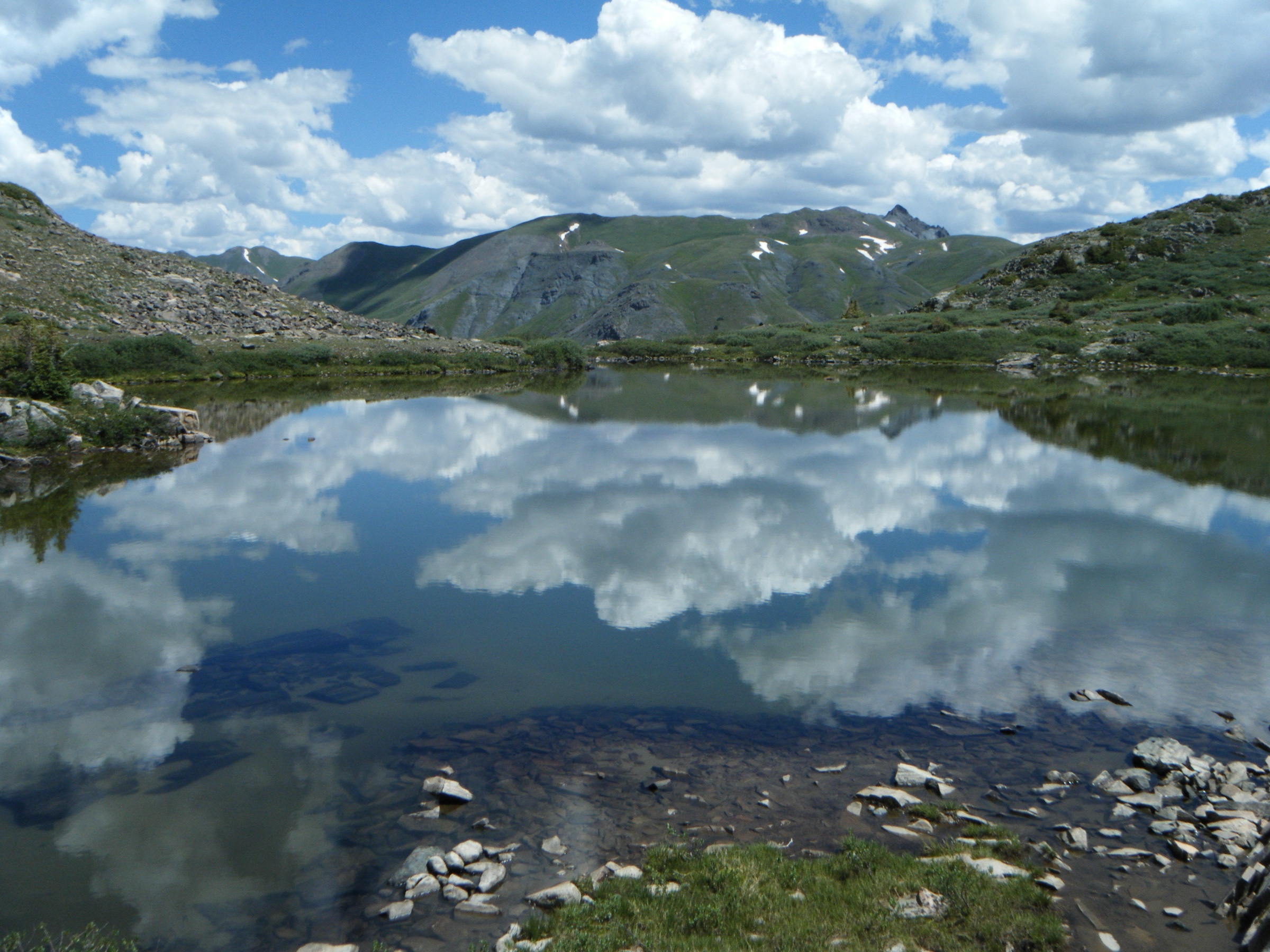
Quartz Lake is the standard South San Juan Wilderness lake objective for day walkers coming from Pagosa Springs. The Little Blanco approach offers one of the longest sustained ridge views in the range without any technical terrain, and the lake basin is a clean example of the cirque-and-tarn landscape that defines the wilderness interior.
Equipment
Full mountain day kit: sturdy waterproof boots, rain shell and insulating layer, hat and gloves for the exposed ridge, sun protection, 2.5 L water with treatment, food for a long day, headlamp, and an offline map. Trekking poles help on the descent to the lake and the return climb.
Hazards and notes
The ridge is fully above treeline for most of the walk and is one of the most weather-exposed day routes in the range. Turn back at the first sign of building afternoon storms. Wilderness rules apply — no bikes, no drones, party-size and camping-setback limits, and standard bear-aware food handling. Mobile signal drops out well before the trailhead. Nipple Mountain Road (FS 665) is a rough gravel track and can be difficult after rain or snow.
GPX / route file
| Source | URL | Format / access | Reuse status |
|---|---|---|---|
| AllTrails — Quartz Lake Trail | alltrails.com | Source map / downloadable route via AllTrails account | AllTrails terms apply; direct GPX not retrieved; source-map reference only |
| Hiking Project — Quartz Lake Trail #568 | hikingproject.com | Source map / downloadable route | Adventure Projects / Hiking Project terms apply; direct GPX not retrieved |
| USDA Forest Service — Quartz Lake Trail | fs.usda.gov | Official trail page | No GPX published; access and trail context |
Further reading
- USDA Forest Service — Quartz Lake Trail
- Pagosa Springs Area Trails — Quartz Lake Trail #568
- AllTrails — Quartz Lake Trail
5. Summit Peak via Treasure Creek
Snapshot
Itinerary
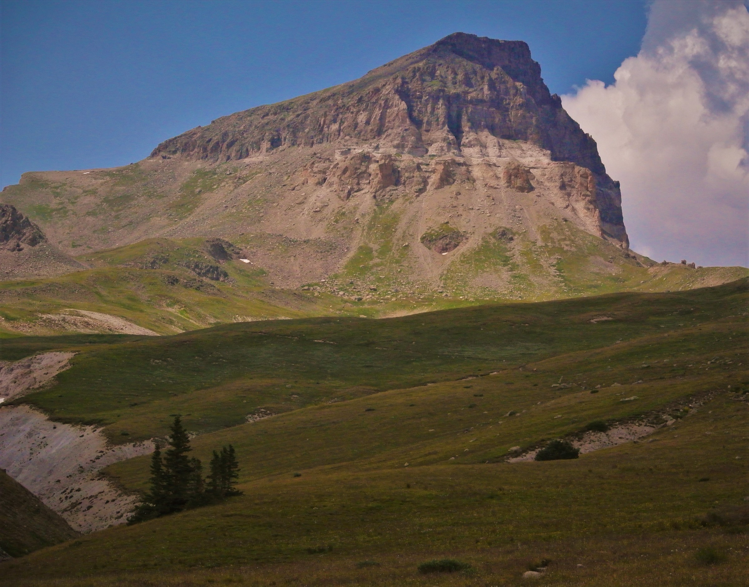
From the trailhead at roughly 3,470 m (11,380 ft), Treasure Creek Trail #710 crosses the south fork of Treasure Creek on log bridges and climbs west up the drainage on a well-defined line, gaining altitude steadily through spruce-fir and subalpine meadow. Regional route descriptions place the junction with the Continental Divide Trail (#813) at roughly 3.1 mi / 5.0 km, at approximately 3,830 m (12,560 ft). Turning south on the CDT the trail traverses open tundra along the Divide to the base of Summit Peak, then climbs the final rocky slope on Class 2 terrain to the range high point at 4,054 m (13,304 ft). Views run south along the Divide to Montezuma Peak and The Unicorn and west across the wilderness interior toward Quartz Lake.
Strong parties often extend the day south along the ridge to include Montezuma Peak (4,008 m / 13,150 ft) as a linked traverse, adding roughly 3 km and another 200 m of gain. Both objectives return via the same Treasure Creek line.
Why it is essential
Summit Peak is the high point of the South San Juan range and the standard day-hike thirteener in the area. It combines a wilderness ridge approach, a sustained walk on the Continental Divide and a legitimate high summit in a single day from a Rio Grande National Forest trailhead — the most representative long day the range offers.
Equipment
Full alpine day kit: sturdy boots, rain shell, insulated layer, hat and gloves, headlamp, sun protection, water with treatment, food for a long day, and an offline map with a paper backup. Trekking poles help on the summit talus. Microspikes are worth carrying into late July on the north-side approach to the Divide.
Hazards and notes
The route is above treeline for the final two-thirds and directly on the Continental Divide across the summit ridge — lightning exposure is the headline hazard, and afternoon storms are near-daily in July and August. An early start and a hard mid-day turnaround are non-negotiable. The FSR 380/243 approach is a long, rough, high-clearance track that can be closed by snow into July and cut by storm damage in shoulder season; confirm current status with the Rio Grande NF Divide Ranger District. Wilderness regulations apply from the trailhead onward. Mobile signal is absent across the route.
GPX / route file
| Source | URL | Format / access | Reuse status |
|---|---|---|---|
| Garmin Trails — Montezuma Peak and Summit Peak via Treasure Creek | connect.garmin.com | Source-map page | Garmin Connect terms apply; direct GPX not retrieved |
| Stav is Lost — Summit Peak, The Unicorn, Montezuma Peak loop | stavislost.com | Route write-up with GPS reference | Reuse terms not verified; source-map reference only |
| Climb13ers — Summit Peak | climb13ers.com | Route context / statistics | Reuse terms not verified; route context only |
Further reading
- Climb13ers — Summit Peak
- SummitPost — Montezuma Peak and The Unicorn
- Wikipedia — South San Juan Wilderness
Further reading
| Source | URL |
|---|---|
| USDA Forest Service — South San Juan Wilderness | fs.usda.gov |
| USDA Forest Service — Wilderness Rules and Regulations (San Juan NF) | fs.usda.gov |
| USDA Forest Service — Rio Grande National Forest, Lobo Overlook | fs.usda.gov |
| Continental Divide Trail Coalition | continentaldividetrail.org |
| Pagosa Springs Area Trails | pagosatrails.org |
| Visit Pagosa Springs — Hiking brochure | visitpagosasprings.com |
| AllTrails — South San Juan Wilderness trails | alltrails.com |
| Wikimedia Commons — Category: Wolf Creek Pass | commons.wikimedia.org |
| Wikipedia — South San Juan Wilderness | en.wikipedia.org |