Regional overview
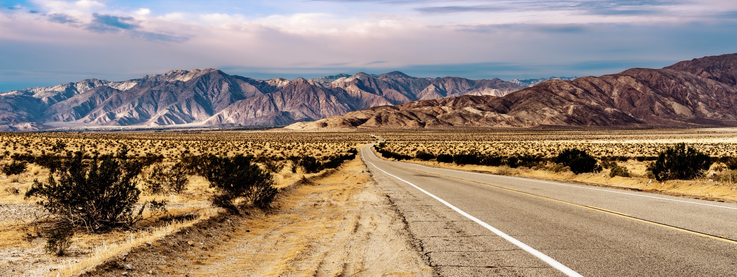
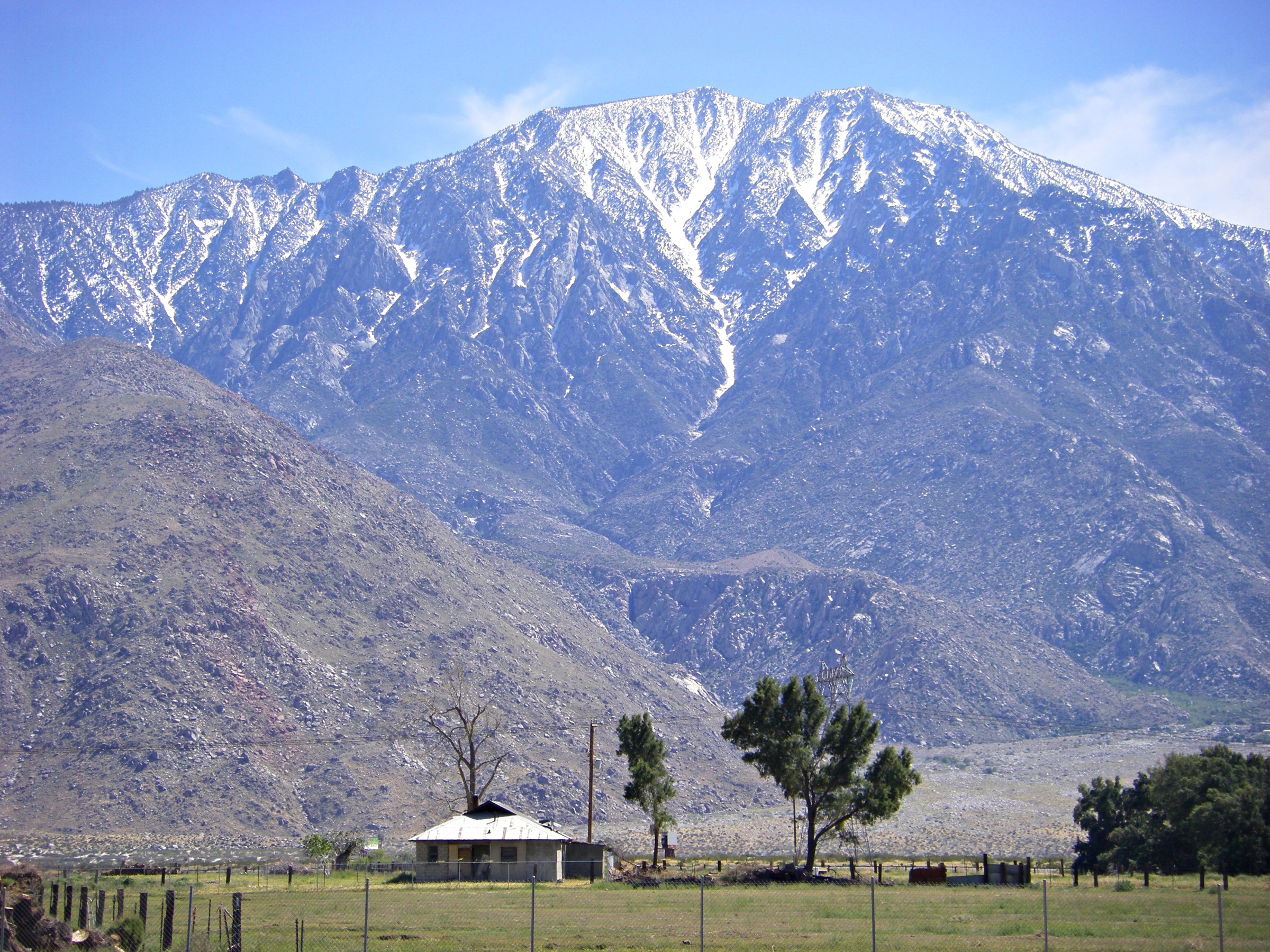
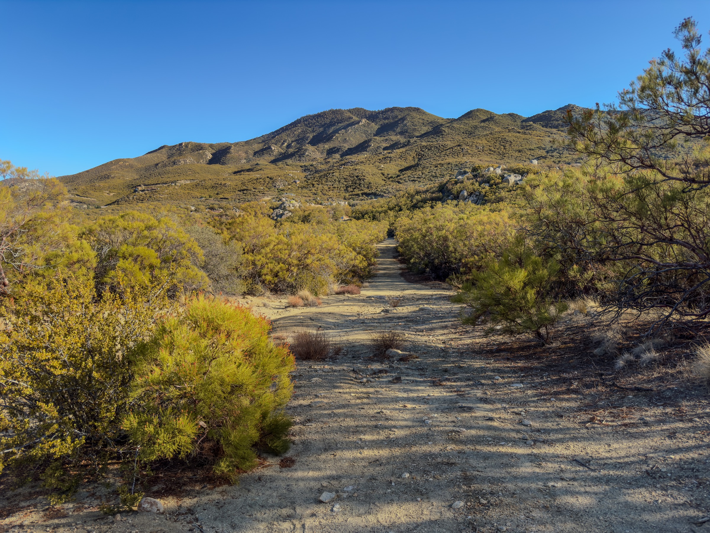
The Santa Rosa Mountains form the desert-facing southern half of the Santa Rosa and San Jacinto Mountains National Monument, rising from the Coachella Valley into pinyon-juniper woodland and high Peninsular Range summits. The range takes in Peninsular bighorn sheep habitat, fan-palm oases, dry washes, old Cahuilla travel routes and steep desert ridgelines. Lower-elevation hikes are best from November through April; higher routes are more reasonable in late spring and autumn.
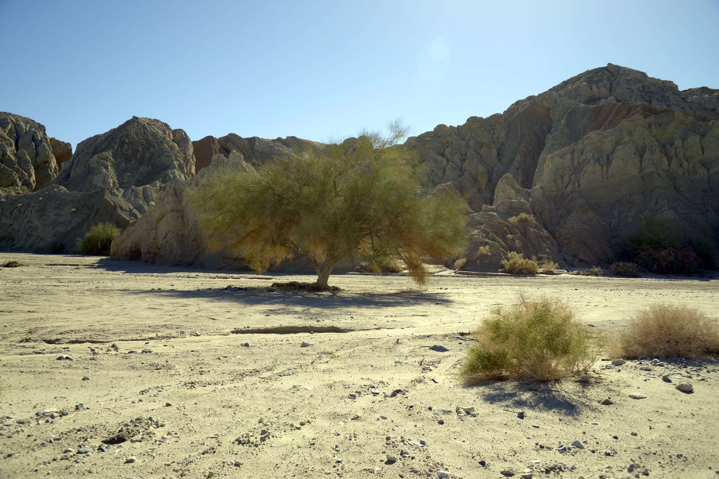
The main public orientation point is the National Monument visitor center on Highway 74 in Palm Desert. Dogs are prohibited on most lower-elevation monument trails to protect endangered Peninsular bighorn sheep, and are also prohibited in Indian Canyons. The BLM recommends carrying at least one gallon / 3.8 L of water per person per day, leaving a trip plan, and turning around before water supplies are half gone.
See also: San Jacinto Mountains, California · Laguna Mountains, California.
Selection rationale
The five hikes below represent the Santa Rosa Mountains’ core day-hike experiences: the culturally important Palm Canyon corridor above Palm Springs, the signature Art Smith traverse from the visitor-center side, the historic Boo Hoff route out of La Quinta, the southern Santa Rosa Wilderness approach to Cactus Spring, and the short-but-steep Bear Creek Oasis climb into a palm canyon above La Quinta Cove.
Summary
| # | Hike | Country | Route type | Distance | Gain | Difficulty | Primary trailhead |
|---|---|---|---|---|---|---|---|
| 1 | Palm Canyon Trail | USA | Point-to-point or long out-and-back | 25.7 km / 16.0 mi | 1,087 m / 3,566 ft | Strenuous | Indian Canyons Trading Post |
| 2 | Art Smith Trail | USA | Point-to-point or out-and-back segment | 13.4 km / 8.3 mi | 447 m / 1,465 ft | Strenuous | Highway 74 near the National Monument visitor center |
| 3 | Boo Hoff Trail | USA | Out-and-back (loop extension possible) | 14.2 km / 8.8 mi | 584 m / 1,916 ft | Strenuous | La Quinta Cove |
| 4 | Cactus Spring Trail | USA | Out-and-back | 18.8 km / 11.7 mi | 804 m / 2,639 ft | Strenuous | Sawmill trailhead off Highway 74 |
| 5 | Bear Creek Oasis Trail | USA | Out-and-back | 7.2 km / 4.5 mi | 606 m / 1,989 ft | Strenuous | Cove Oasis trailhead, La Quinta |
1. Palm Canyon Trail
Snapshot
Itinerary
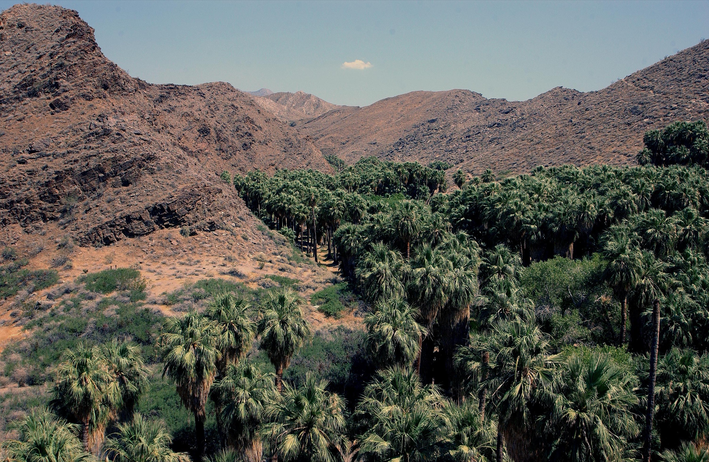
From the Indian Canyons Trading Post the trail follows the fan-palm oasis into the desert wash of upper Palm Canyon, moving from Washingtonia palm groves into higher pinyon-juniper terrain as it climbs toward the Highway 74 corridor. Many visitors should shorten the day to a main-oasis loop with the Victor Trail return; strong, well-provisioned parties can carry the full route as a long point-to-point or an exploratory out-and-back.
Why it is essential
Palm Canyon is the Santa Rosa Mountains’ defining palm-oasis hike and one of the most important Indigenous travel corridors in the National Monument.
Equipment
- Sturdy trail shoes
- 4–5 L water minimum for the full route
- Sun protection: hat, long sleeves, sunscreen
- Snakes-and-cactus awareness; trekking poles help on the wash
- Offline map — junctions in the upper canyon are subtle
- Cash or card for the Indian Canyons entry fee
Hazards and notes
- Heat is the primary hazard; carry at least one gallon per person per day and turn around before water is half gone.
- Flash-flood risk in the wash after summer storms.
- Cactus, rattlesnakes and bees are recurring hazards.
- No dogs in Indian Canyons.
- Indian Canyons hours and access rules can change seasonally; verify before departure.
Routes and maps
| Source | URL |
|---|---|
| BLM — Northern Santa Rosa hiking (PDF) | blm.gov |
| BLM — Santa Rosa and San Jacinto Mountains National Monument | blm.gov |
| OpenStreetMap — Palm Canyon Trail | openstreetmap.org |
Further reading
- Indian Canyons — official tribal site
- Wikipedia — Santa Rosa and San Jacinto Mountains National Monument
2. Art Smith Trail
Snapshot
Itinerary
From the Highway 74 trailhead near the visitor center the Art Smith Trail climbs through rocky desert hills, hidden side canyons and small fan-palm oases, with broad views over the Coachella Valley and toward Joshua Tree National Park. It can be walked as a long out-and-back, a shorter turn at the Hopalong junction, or as a point-to-point with a shuttle at the Dunn Road end.
Why it is essential
Art Smith is the official signature trail of the northern Santa Rosa Mountains on the Palm Desert side and the natural counterpart to the Palm Canyon route on the Palm Springs side.
Equipment
- Sturdy trail shoes
- 4 L water minimum
- Sun protection
- Wind layer for exposed ridges
- Offline map
- Snake and cactus awareness
Hazards and notes
- Very exposed; there is no dependable water.
- Sun and heat build quickly on the ridges from mid-morning.
- Dogs are prohibited to protect Peninsular bighorn sheep.
- Seasonal closures may apply to the northern Santa Rosa trails during bighorn lambing season (typically January–September); check the BLM page before travel.
Routes and maps
| Source | URL |
|---|---|
| BLM — Palm Desert and Rancho Mirage trail guide (PDF) | blm.gov |
| BLM — Northern Santa Rosa hiking (PDF) | blm.gov |
| OpenStreetMap — Art Smith Trail | openstreetmap.org |
Further reading
- BLM — Santa Rosa and San Jacinto Mountains National Monument
- Wikipedia — Santa Rosa Mountains (California)
3. Boo Hoff Trail
Snapshot
Itinerary
Boo Hoff follows an old route into the Santa Rosa Wilderness from La Quinta Cove, climbing through ocotillo, barrel cactus, rocky ridges and Peninsular bighorn sheep habitat. The BLM notes that the route can be extended into a 19.3 km / 12 mi loop with the Cove to Lake Trail, but the core Boo Hoff outing is already a demanding day-hike with real route-finding and heat exposure.
Why it is essential
The historic La Quinta route into the Santa Rosa Wilderness and one of the range’s most characteristic desert-ridge hikes.
Equipment
- Sturdy trail shoes or light boots
- 4 L water minimum
- Sun protection
- Offline map — the wilderness route is not always obvious on the ground
- Snake gaiters or awareness
Hazards and notes
- Heat and full sun exposure; treat this as a cool-season hike only.
- Route-finding required at wilderness junctions.
- Bighorn habitat — obey seasonal closures and stay on route.
- Loose rock on the ridges.
- Flash-flood risk in lower washes after storms.
Routes and maps
| Source | URL |
|---|---|
| BLM — Southern Santa Rosa hiking (PDF) | blm.gov |
| BLM — Santa Rosa and San Jacinto Mountains National Monument | blm.gov |
| OpenStreetMap — Boo Hoff Trail | openstreetmap.org |
Further reading
4. Cactus Spring Trail
Snapshot
Itinerary
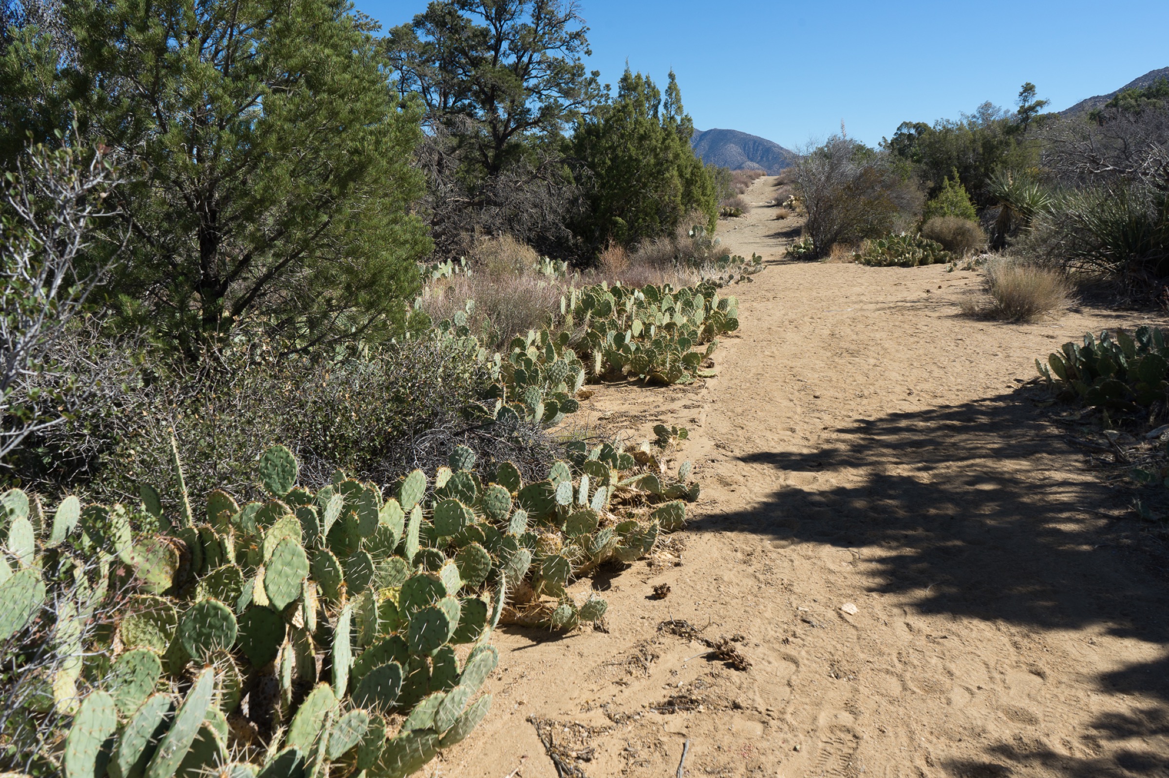
From the Sawmill trailhead on Highway 74 the Cactus Spring Trail enters higher desert and pinyon-juniper country, dropping and rolling toward Horsethief Creek and Cactus Spring. The BLM notes that travel beyond Cactus Spring toward Agua Alta becomes difficult to follow; for a day-hike, the spring corridor is the practical objective for prepared parties.
Why it is essential
The best access to the range’s higher southern wilderness character without relying on private or gated summit roads.
Equipment
- Sturdy trail shoes or light boots
- 4 L water minimum; treat any spring water for the return
- Sun protection
- Warm layer for the higher elevation
- Navigation — the outer sections of the trail are faint
- Snake and cactus awareness
Hazards and notes
- Little shade and unreliable water; do not depend on the spring flowing.
- Route becomes hard to follow past Cactus Spring.
- Higher elevation than the desert-floor trails — cooler but still sun-exposed.
- Wilderness rules apply — no bikes, no motorised use, group-size limits.
Routes and maps
| Source | URL |
|---|---|
| BLM — Southern Santa Rosa hiking (PDF) | blm.gov |
| BLM — Santa Rosa and San Jacinto Mountains National Monument | blm.gov |
| OpenStreetMap — Cactus Spring Trail | openstreetmap.org |
Further reading
5. Bear Creek Oasis Trail
Snapshot
Itinerary
From the Cove Oasis trailhead the route follows the sandy wash before turning up toward the Bear Creek canyon oasis. The BLM guide emphasises staying alert where the trail leaves the wash and following signs toward the canyon route; the climb is short but concentrated, packing nearly 600 m of gain into a few kilometres.
Why it is essential
The most efficient La Quinta palm-oasis objective and a genuine strenuous desert-canyon hike in a half-day format.
Equipment
- Sturdy trail shoes
- 3 L water minimum
- Sun protection
- Trekking poles for the steep climb
- Offline map — the wash-to-trail transition is easy to miss
Hazards and notes
- Steep, exposed climb once the trail leaves the wash.
- Heat exposure — treat as a cool-season, early-morning outing.
- Cactus, snakes and bees along the wash and lower canyon.
- Flash-flood risk after storms.
Routes and maps
| Source | URL |
|---|---|
| BLM — Other Popular Trails (PDF) | blm.gov |
| BLM — Santa Rosa and San Jacinto Mountains National Monument | blm.gov |
| OpenStreetMap — Bear Creek Oasis Trail | openstreetmap.org |
Further reading
Region-wide cautions
- Carry at least one gallon (3.8 L) of water per person per day and turn around before supplies are half gone.
- Lower-elevation Santa Rosa trails are best November through April; treat other months as cool-morning-only outings at most.
- Dogs are prohibited on most lower-elevation monument trails and in Indian Canyons to protect Peninsular bighorn sheep.
- Bighorn habitat protections drive seasonal closures on parts of the range; check the BLM page before travel.
- Flash flooding, heat illness, cactus, rattlesnakes, bees and difficult route-finding are the recurring hazards on all five routes.