Regional overview
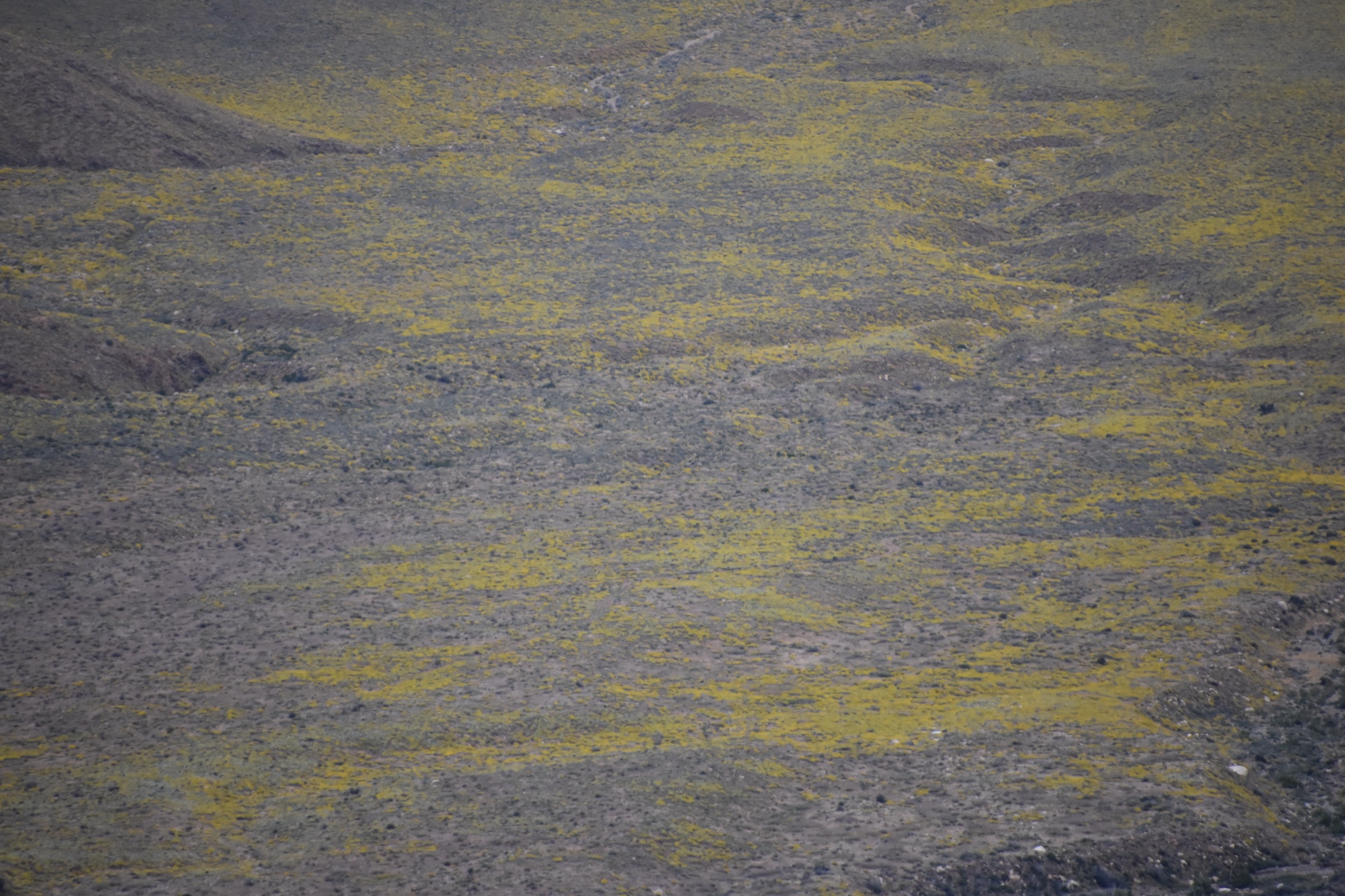
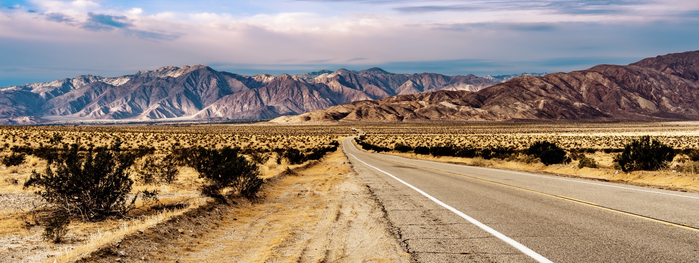
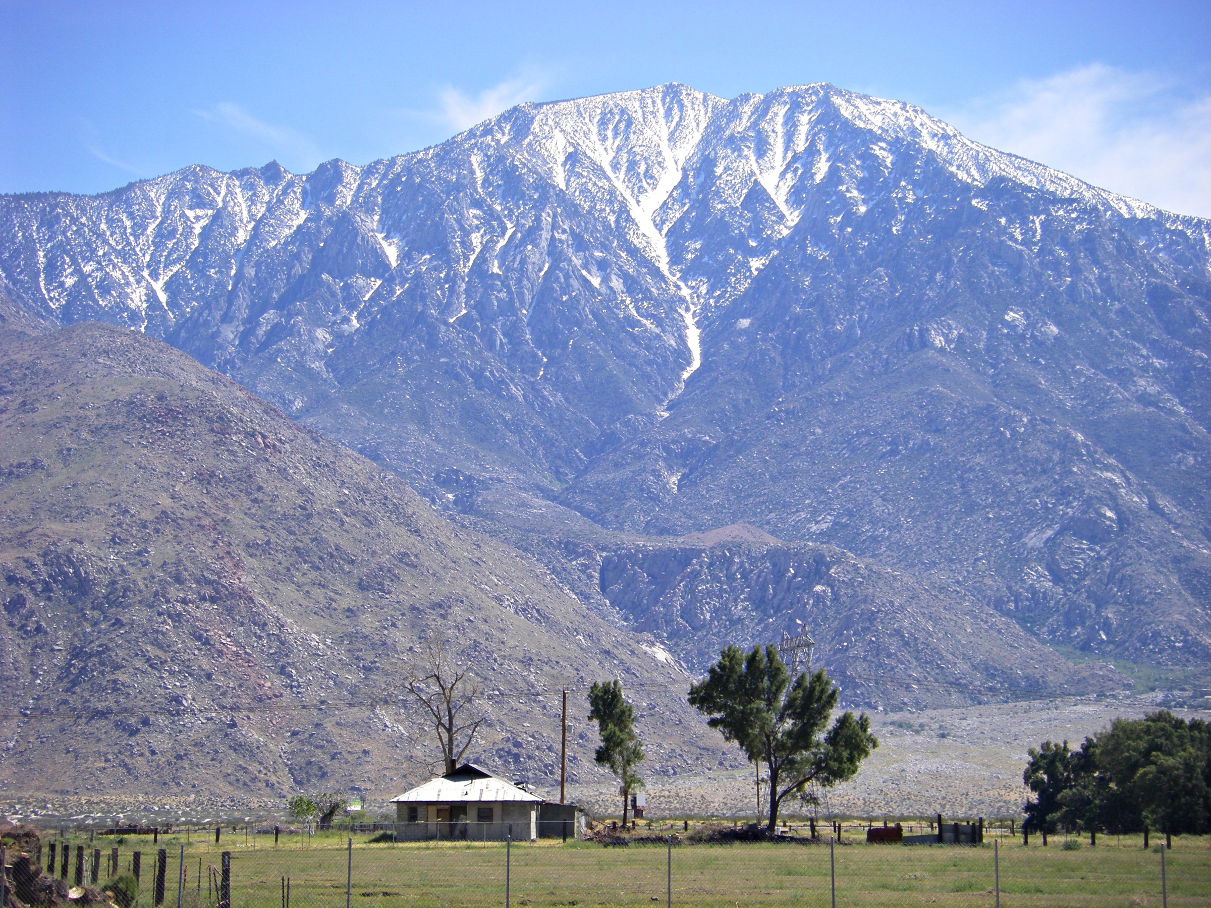
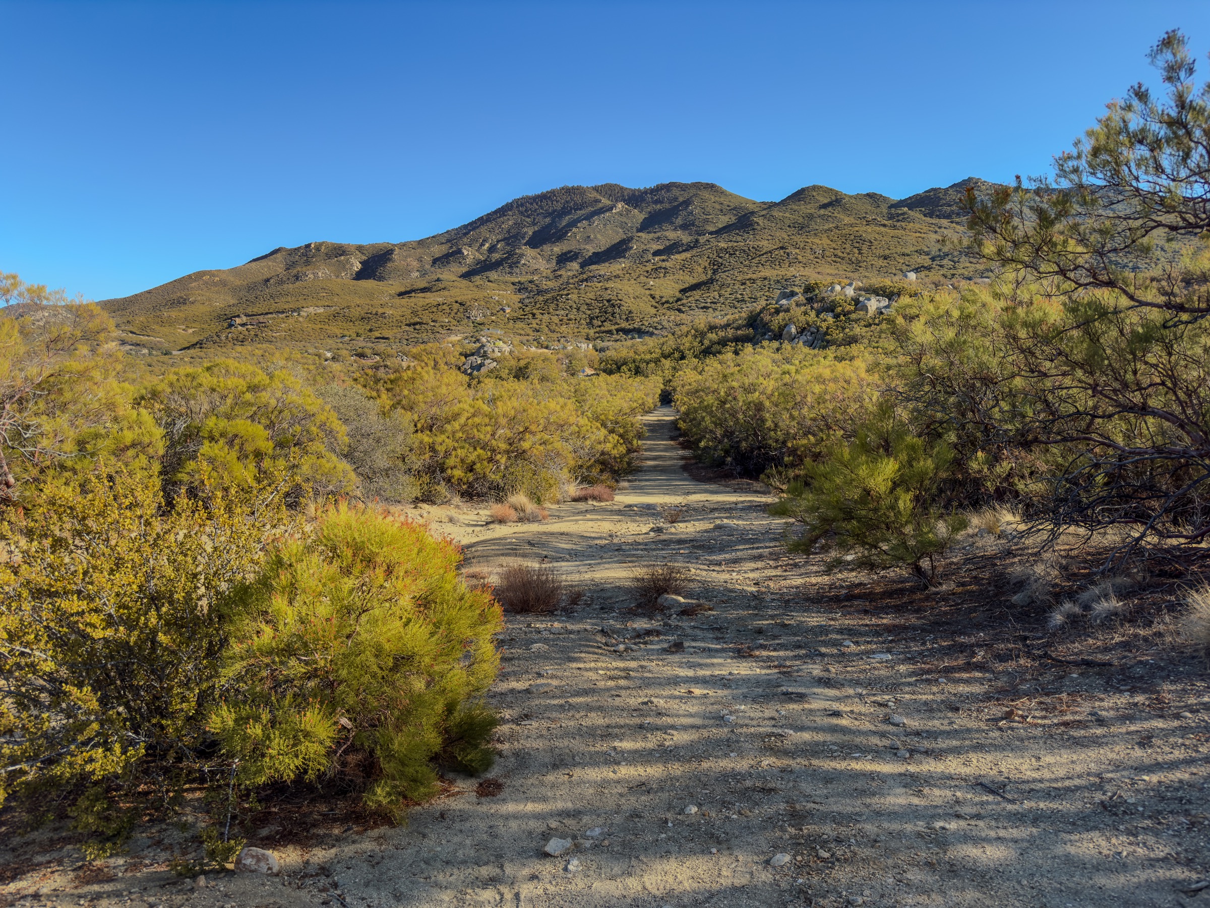
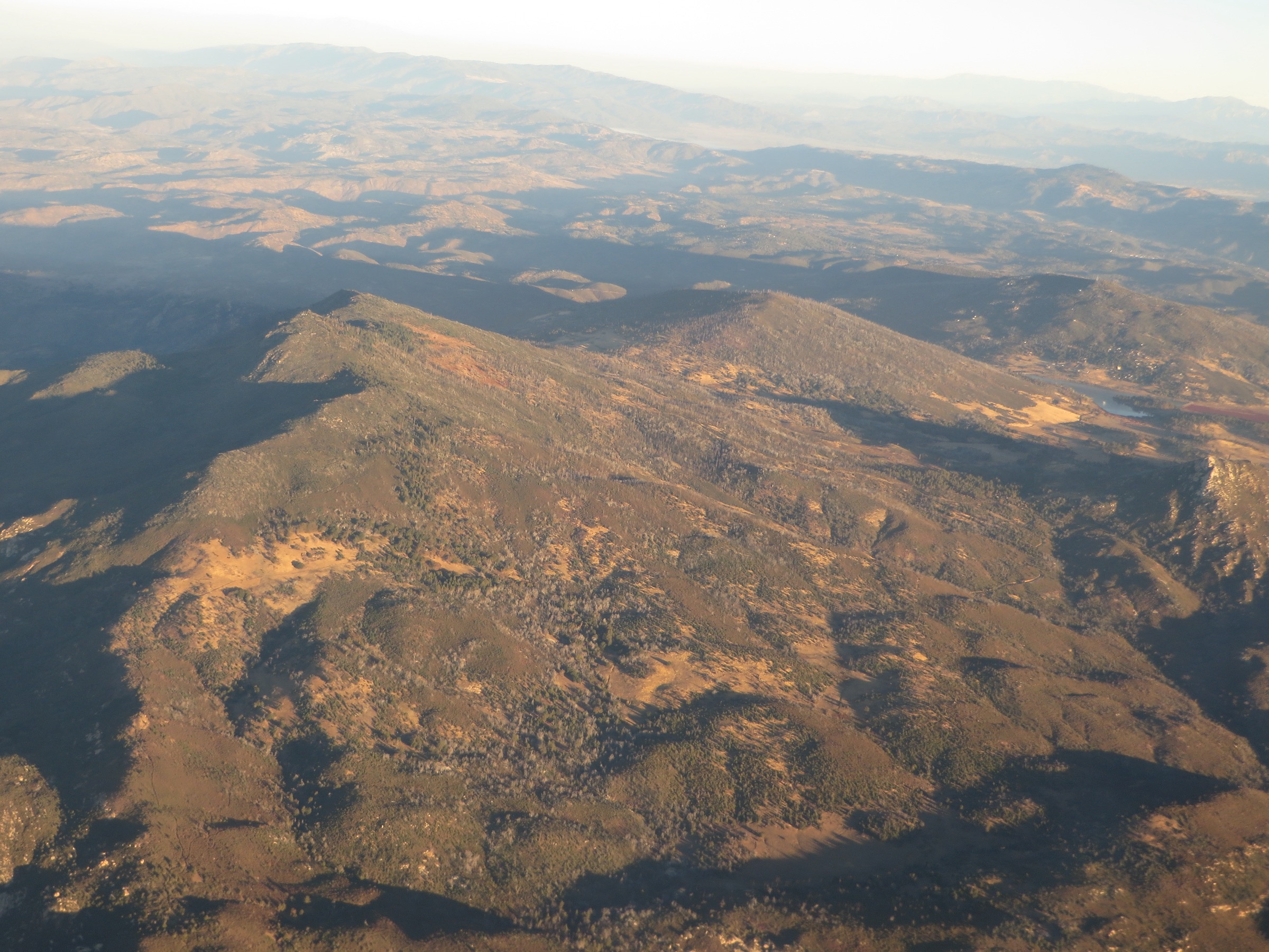
The Cuyamaca Mountains are a high, oak-and-conifer island in eastern San Diego County, rising above the drier coastal lowlands and the Colorado Desert. The core day-hiking area is Cuyamaca Rancho State Park, which California State Parks describes as more than 100 miles of hiking and riding trails across oak woodland, pine pockets, meadows, running streams, the Green Valley cascades, the historic Stonewall Mine area, and the 1,985 m / 6,512 ft summit of Cuyamaca Peak — the second-highest point in San Diego County.
The walking character is non-technical but varied: summit fire roads, rocky peak trails, shaded oak corridors, grassy meadows, stream crossings, post-Cedar Fire regrowth, and clear-day views from the Pacific across to Anza-Borrego and the Salton Sea. Main hazards are summer heat, winter snow or ice above ~1,500 m, rattlesnakes, ticks, poison oak, mountain-lion country, fire restrictions, limited water away from developed sites, and full parking at Paso Picacho on busy weekends. Dogs are generally not allowed on park trails; the state park page notes only limited dog access on campgrounds, paved roads, picnic areas and the Cuyamaca Peak Fire Road.
Access is by private vehicle on Highway 79. No verified public transport connects any of the trailheads. State-park day-use fees apply at Paso Picacho and Green Valley. Cell service is patchy across the park.
Selection rationale
The five walks below cover the region’s essential range of experiences. Cuyamaca Peak via Azalea Glen is the defining high-summit loop. Cush-pii / Stonewall Peak is the classic short panoramic climb from Paso Picacho. Oakzanita Peak is the quieter chaparral-and-oak summit on the south side of the park. Westside Trail to Green Valley Falls captures the Sweetwater River / waterfall landscape. Stonewall Mine and Lake Cuyamaca via the Marty Minshall Trail rounds out the set with a cultural and lakeside loop. Route stats were cross-checked against AllTrails route pages and the California State Parks brochure and trail page; no downloadable GPX was retrieved, so route-file status rests on those sources plus OpenStreetMap.
Summary table
| # | Hike | Country | Route type | Distance | Gain | Max elevation | Difficulty |
|---|---|---|---|---|---|---|---|
| 1 | Cuyamaca Peak via Azalea Glen Loop | USA | Loop | 12.1 km | 556 m | 1,978 m | Moderate |
| 2 | Cush-pii / Stonewall Peak | USA | Out-and-back | 6.3 km | 251 m | 1,744 m | Moderate |
| 3 | Oakzanita Peak Trail | USA | Out-and-back | 9.7 km | 355 m | 1,538 m | Moderate |
| 4 | Westside Trail to Green Valley Falls | USA | Out-and-back | 10.3 km | 195 m | 1,273 m | Moderate |
| 5 | Stonewall Mine and Lake Cuyamaca via Marty Minshall Trail | USA | Loop | 5.1 km | 54 m | 1,446 m | Easy |
1. Cuyamaca Peak via Azalea Glen Loop
Snapshot
Itinerary
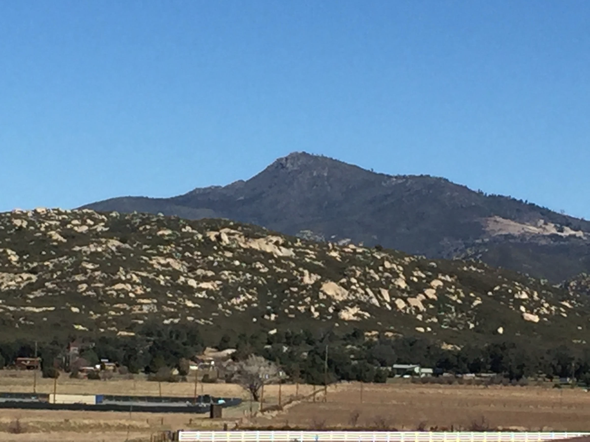
From Paso Picacho, climb through Azalea Glen and continue via the higher trail/fire-road system toward Cuyamaca Peak. The final approach uses the paved service road to the summit area, where clear-day views reach west toward the coast and east toward Anza-Borrego, the Salton Sea and the desert ranges. Return by the loop rather than simply reversing the fire road.
Why it is essential
Cuyamaca Peak is the high point of the range and the defining summit hike of the region. The loop adds woodland, ridge and post-Cedar Fire recovery-forest context to the otherwise direct fire-road climb.
Equipment
- Hiking shoes or light boots
- Trekking poles (optional)
- 2–3 L water
- Sun protection
- Wind layer; warm layer in winter
- Offline map
- Headlamp for late starts
Hazards and notes
- Heat and wind on exposed fire-road sections; winter ice/snow possible above the campground.
- Ticks, poison oak in lower woodland, rattlesnakes.
- Dogs are not allowed on the Azalea Glen route; only the Cuyamaca Peak Fire Road allows dogs within the park.
- Paso Picacho day-use fee and state-park hours apply.
GPX / route file
| Source | URL | Format | Notes |
|---|---|---|---|
| AllTrails — Cuyamaca Peak via Azalea Glen Loop | alltrails.com | Source map / proprietary trail database | Direct GPX not retrieved; do not reuse geometry without licence/export authorisation |
| California State Parks — Cuyamaca Rancho State Park | parks.ca.gov | Official park page and map links | Use for park access, rules and official trail context |
| California State Parks — brochure PDF | parks.ca.gov | Official brochure / source map | Route-file reuse unresolved; use as official factual source |
| OpenStreetMap search | openstreetmap.org | Source map | Reusable only under ODbL terms with attribution/share-alike |
Sources
- California State Parks — Cuyamaca Rancho State Park
- California State Parks — Cuyamaca Rancho brochure PDF
- AllTrails — Cuyamaca Peak via Azalea Glen Loop
- Cuyamaca Peak — reference page
2. Cush-pii / Stonewall Peak
Snapshot
Itinerary
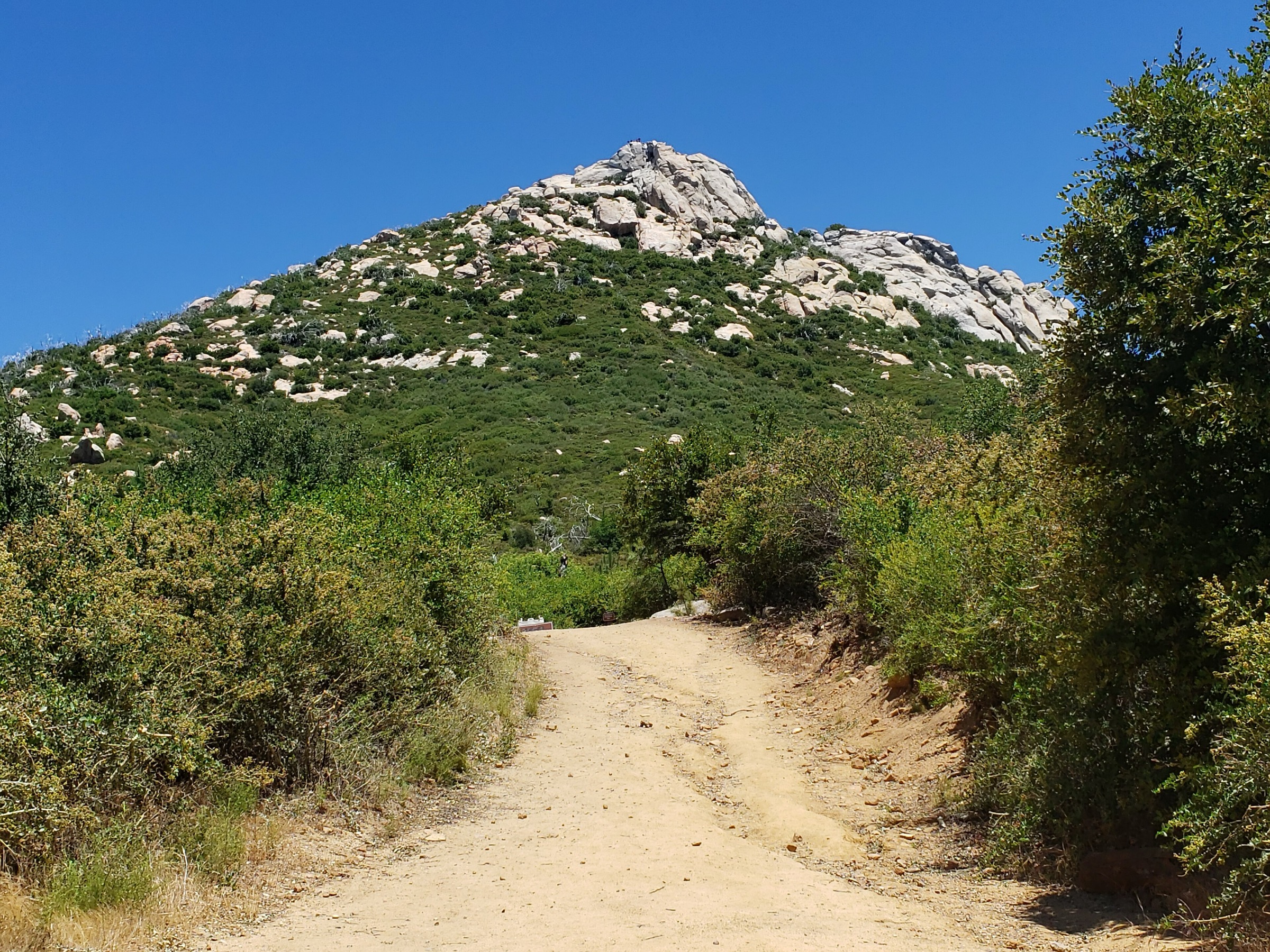
From Paso Picacho, cross Highway 79 to the Stonewall Peak trailhead and climb steady switchbacks through oak, chaparral and open granitic slopes. The final section uses stone steps to a short summit platform. Return the same way, unless extending toward a Cold Stream / Stonewall Creek loop.
Why it is essential
The Cuyamaca short classic: a compact, highly scenic summit hike with a clear view over Lake Cuyamaca, the Stonewall Mine area, Cuyamaca Peak, the desert edge and the higher Peninsular Ranges.
Equipment
- Hiking shoes
- 1.5–2 L water
- Sun protection
- Wind layer for the exposed summit
- Offline map
Hazards and notes
- Highway crossing at Paso Picacho — mind traffic.
- Steep final stone steps; wind on the summit block.
- Rattlesnakes, ticks, poison oak lower down.
- Dogs are not allowed on this trail.
GPX / route file
| Source | URL | Format | Notes |
|---|---|---|---|
| AllTrails — Cush-pii / Stonewall Peak | alltrails.com | Source map / proprietary trail database | Direct GPX not retrieved; do not reuse geometry without licence/export authorisation |
| California State Parks — Cuyamaca Rancho State Park | parks.ca.gov | Official park page and map links | Use for access and rules |
| California State Parks — brochure PDF | parks.ca.gov | Official brochure / source map | Route-file reuse unresolved; use as official factual source |
| OpenStreetMap search | openstreetmap.org | Source map | Reusable only under ODbL terms with attribution/share-alike |
Sources
- California State Parks — Cuyamaca Rancho State Park
- California State Parks — Cuyamaca Rancho brochure PDF
- AllTrails — Cush-pii / Stonewall Peak
3. Oakzanita Peak Trail
Snapshot
Itinerary
From the Highway 79 side of the park, follow the Descanso Creek trail system toward Oakzanita Peak. The route rises from lower oak and chaparral country to a rocky summit point with wide views across Cuyamaca Rancho State Park, the East Mesa side and the surrounding Peninsular Range hills. Return the same way.
Why it is essential
The quieter Cuyamaca summit choice — a less crowded counterpart to Cuyamaca Peak and Stonewall Peak, still inside the state park and showing the lower chaparral-and-oak side of the range.
Equipment
- Hiking shoes or light boots
- 2 L water
- Sun protection
- Long sleeves if brushy
- Offline map
Hazards and notes
- Brushy or overgrown sections; heat, bugs, rattlesnakes.
- Poison oak in drainages.
- Navigation care at trail junctions; dogs are not allowed.
- Confirm current pullout / parking conditions along Highway 79.
GPX / route file
| Source | URL | Format | Notes |
|---|---|---|---|
| AllTrails — Oakzanita Peak Trail | alltrails.com | Source map / proprietary trail database | Direct GPX not retrieved; do not reuse geometry without licence/export authorisation |
| California State Parks — Cuyamaca Rancho State Park | parks.ca.gov | Official park page and map links | Use for access, rules and park map context |
| California State Parks — brochure PDF | parks.ca.gov | Official brochure / source map | Route-file reuse unresolved; use as official park source |
| OpenStreetMap search | openstreetmap.org | Source map | Reusable only under ODbL terms with attribution/share-alike |
Sources
- California State Parks — Cuyamaca Rancho State Park
- California State Parks — Cuyamaca Rancho brochure PDF
- AllTrails — Oakzanita Peak Trail
4. Westside Trail to Green Valley Falls
Snapshot
Itinerary
Follow the Westside Trail through meadows and oak woodland toward Green Valley Falls, reaching the Sweetwater River cascade and pool area before returning by the same route. This gives a fuller day-hike approach to the falls than the very short Green Valley Falls stroll from the day-use area.
Why it is essential
The region’s accessible water feature — a Cuyamaca contrast to dry chaparral summits, with Sweetwater River headwater scenery, meadow walking and seasonal cascades.
Equipment
- Hiking shoes
- 2 L water
- Sun protection
- Layers for changeable mountain weather
- Offline map
Hazards and notes
- Heat and exposed sections near the road corridor.
- Stream crossings or wet rock near the falls.
- Rattlesnakes, poison oak, ticks; unclear junctions in places.
- Dogs are not allowed; state-park day-use fee at Green Valley.
GPX / route file
| Source | URL | Format | Notes |
|---|---|---|---|
| AllTrails — Westside Trail to Green Valley Falls | alltrails.com | Source map / proprietary trail database | Direct GPX not retrieved; do not reuse geometry without licence/export authorisation |
| California State Parks — Cuyamaca Rancho State Park | parks.ca.gov | Official park page and map links | Use for access, rules and Green Valley context |
| California State Parks — brochure PDF | parks.ca.gov | Official brochure / source map | Route-file reuse unresolved; use as official park source |
| OpenStreetMap search | openstreetmap.org | Source map | Reusable only under ODbL terms with attribution/share-alike |
Sources
- California State Parks — Cuyamaca Rancho State Park
- California State Parks — Cuyamaca Rancho brochure PDF
- AllTrails — Westside Trail to Green Valley Falls
5. Stonewall Mine and Lake Cuyamaca via Marty Minshall Trail
Snapshot
Itinerary
Walk a low loop linking the Stonewall Mine cultural landscape with the Lake Cuyamaca perimeter area via the Marty Minshall Trail. The route mixes lakeside views, open woodland, wildlife viewing and the historic gold-mining context that shaped the Cuyamaca settlement story.
Why it is essential
Not every Cuyamaca essential hike needs to be a summit. This loop provides the cultural and lakeside piece — Stonewall Mine, Lake Cuyamaca, gold-rush history and an easier route that still meets the catalogue’s normal distance range.
Equipment
- Walking or hiking shoes
- 1–1.5 L water
- Sun protection
- Light layer for lake wind
- Offline map
Hazards and notes
- Mud and stream crossings in wet periods; poison oak and ticks.
- Confusing junctions around property boundaries.
- The route may enter Lake Cuyamaca Recreation and Park District property — verify fee/permit requirements at the tackle shop or district office before continuing.
- Dogs are not allowed on the checked AllTrails route.
GPX / route file
| Source | URL | Format | Notes |
|---|---|---|---|
| AllTrails — Stonewall Mine and Lake Cuyamaca via Marty Minshall Trail | alltrails.com | Source map / proprietary trail database | Direct GPX not retrieved; do not reuse geometry without licence/export authorisation |
| Lake Cuyamaca Recreation and Park District — hiking | lakecuyamaca.net | Official district page | Use for lake hiking context; no GPX exposed |
| California State Parks — brochure PDF | parks.ca.gov | Official brochure / source map | Use as official historic-context source |
| OpenStreetMap search | openstreetmap.org | Source map | Reusable only under ODbL terms with attribution/share-alike |
Sources
- AllTrails — Stonewall Mine and Lake Cuyamaca via Marty Minshall Trail
- Lake Cuyamaca Recreation and Park District — hiking
- California State Parks — Cuyamaca Rancho brochure PDF
Region-wide cautions
- State-park day-use fees apply at Paso Picacho and Green Valley; check current fees and hours.
- Dogs are generally prohibited on Cuyamaca Rancho State Park trails; only the Cuyamaca Peak Fire Road, campgrounds, paved roads and picnic areas permit dogs.
- Rattlesnakes, ticks, poison oak are present across the park; mountain lion and bear context applies.
- Summer heat on the exposed summits and winter snow/ice above ~1,500 m are the two seasonal extremes.
- Fire restrictions are common in dry periods; verify current status before travel.
Further reading
- California State Parks — Cuyamaca Rancho State Park
- California State Parks — Cuyamaca Rancho brochure PDF
- Lake Cuyamaca Recreation and Park District
- Cuyamaca Mountains — reference page
- Companion article on this site: USA — San Jacinto Mountains, California: essential day-hikes — the higher Peninsular Ranges sibling above Palm Springs and Idyllwild.
Missing data / follow-up work
- No official GPX or KML downloads were retrieved for any of the five routes; route-file status rests on AllTrails route pages plus the California State Parks brochure and OpenStreetMap.
- Licence-compatible route-specific images for Oakzanita Peak and Green Valley Falls were not resolved above the site’s 2000 px floor; only regional and range-context imagery is currently in place.
- The Westside Trail access point / official trailhead label needs field verification; AllTrails and State Parks references are consistent on the destination but ambiguous on the exact start.
- Current-year state-park day-use fees, fire restrictions and Lake Cuyamaca district permit rules should be re-checked before publication.