Regional overview
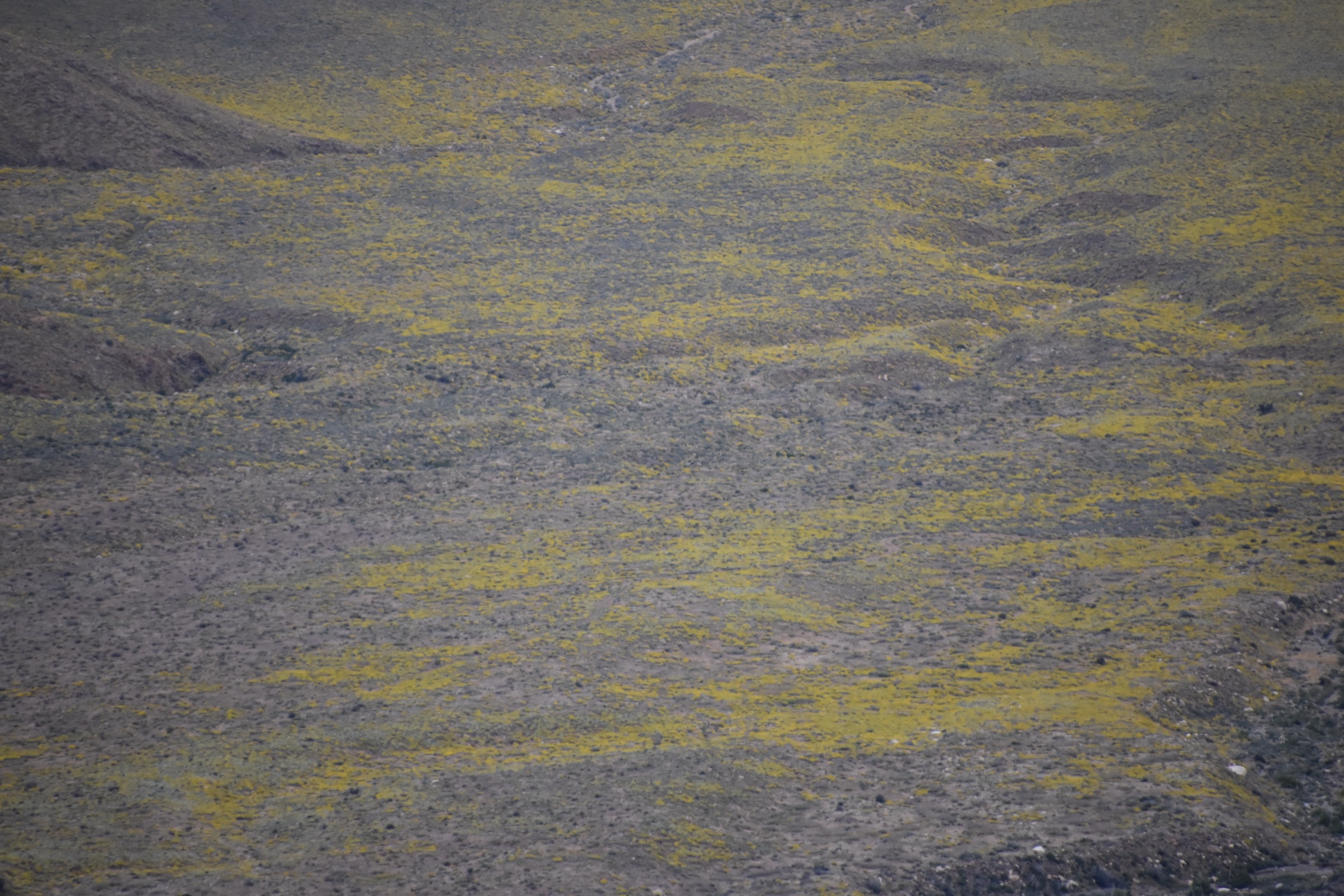
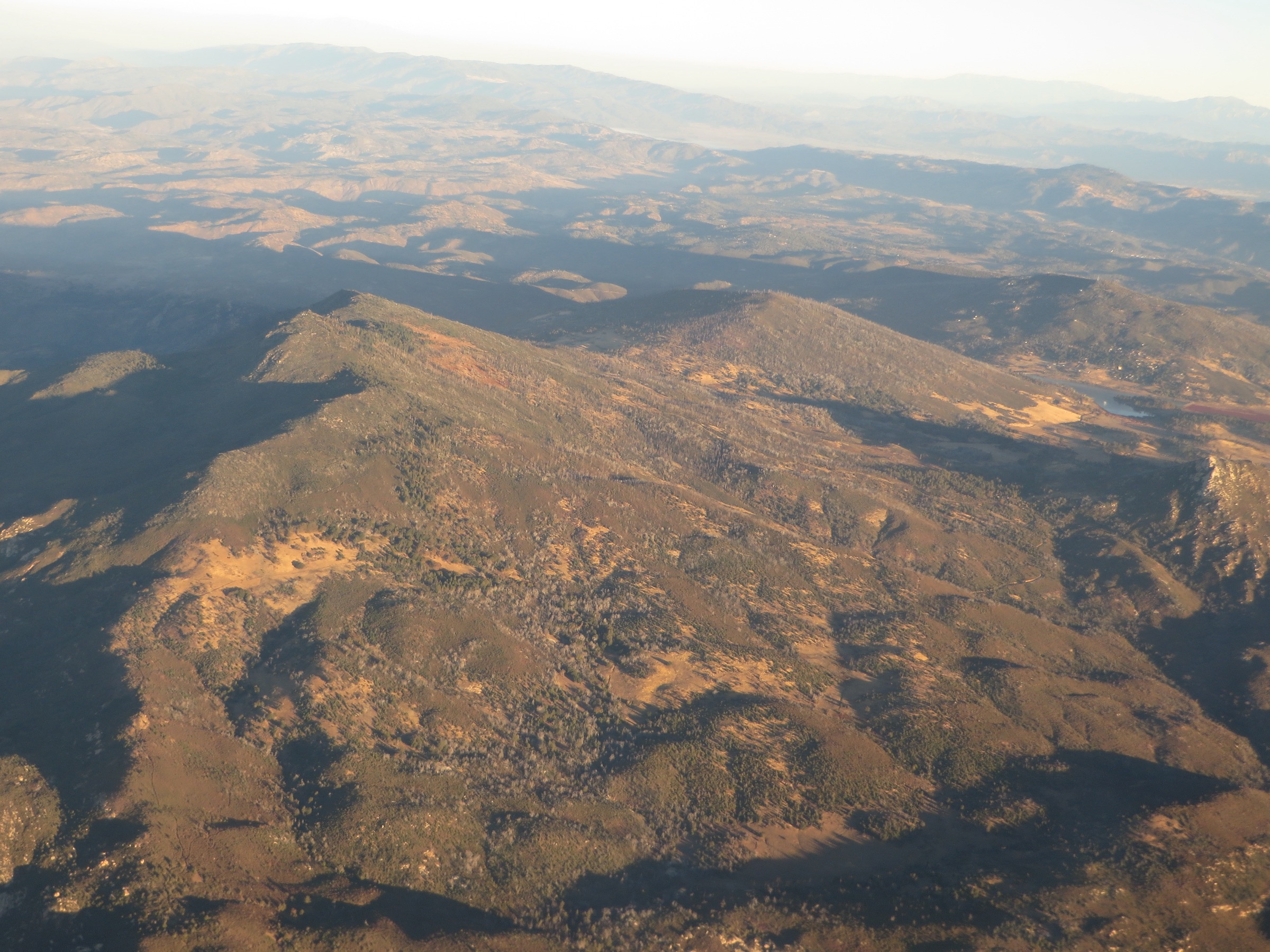
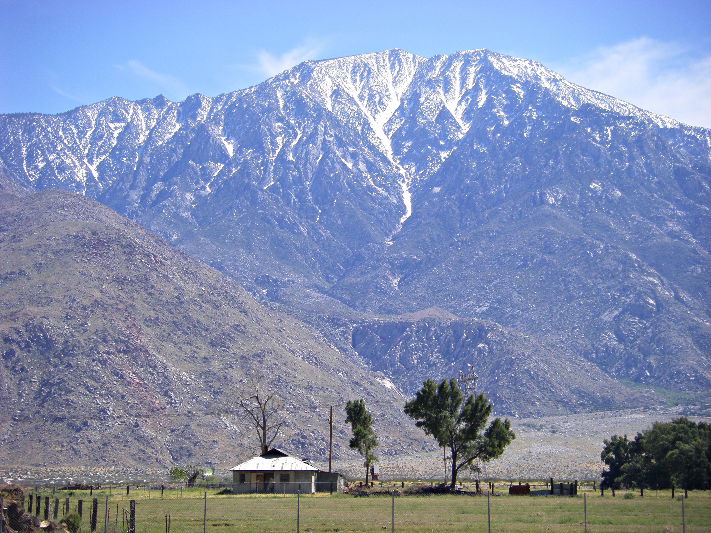
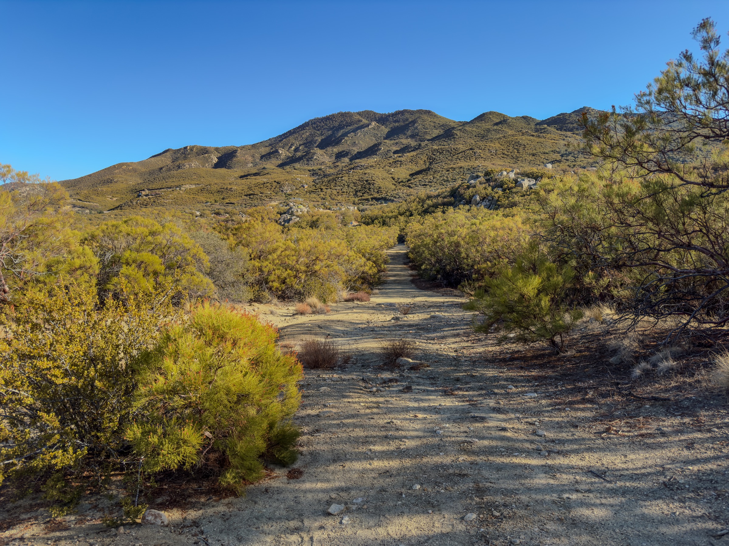
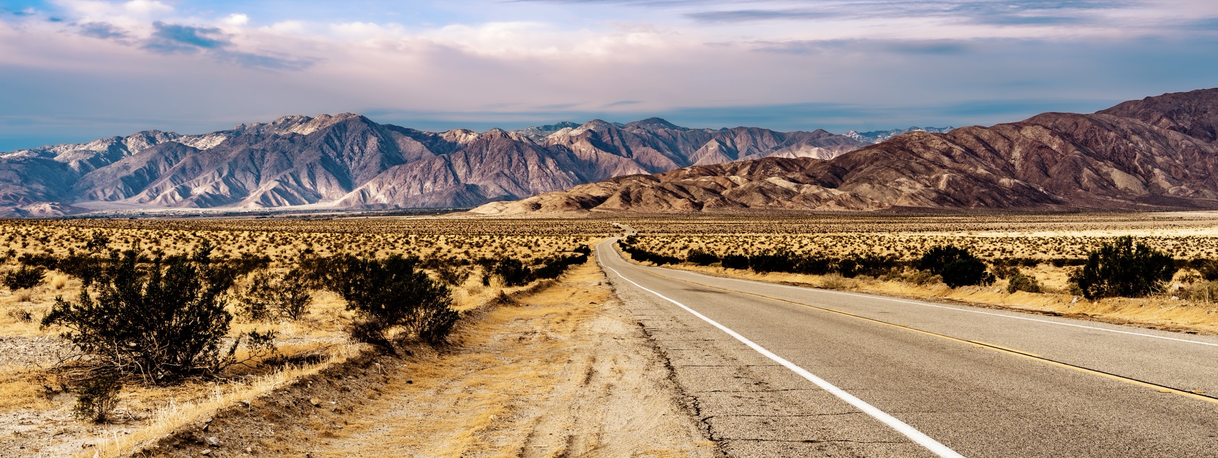
The Anza-Borrego mountain region is the desert-facing side of the Peninsular Ranges: badlands, washes, palm oases, slot canyons, boulder canyons, historic travel corridors and dry summit ridges dropping toward Borrego Valley and the Salton Trough. California State Parks describes Anza-Borrego Desert State Park as California’s largest state park, with roughly 500 miles of dirt roads, twelve wilderness areas, many miles of hiking trails, palm groves, cacti, wildflowers, bighorn sheep habitat and sweeping desert vistas.
The hiking season is strongly desert-shaped. October–May is the normal prime window; summer heat can reach life-threatening levels. The official safety guidance emphasises one gallon / 4 L of water per person per day, food, limited or nonexistent cell coverage, proper footwear, and leaving a trip plan. Dirt roads, washes and trailheads can change after storms, and the state park warns that some areas require AWD/4WD or high clearance. Dogs are not allowed on foot trails or in natural areas.
Selection rationale
The five hikes balance the region’s essential Anza-Borrego experiences: Borrego Palm Canyon for the iconic palm oasis; Hellhole Canyon to Maidenhair Falls for a longer canyon-and-waterfall route; The Slot / Borrego Mountain Wash for badlands slot-canyon terrain; the Pictograph Trail for the Blair Valley cultural landscape; and Whale Peak for the major non-technical summit objective in the Vallecito / Pinyon mountain sector.
Summary
| # | Hike | Country | Route type | Distance | Gain | Difficulty | Primary trailhead |
|---|---|---|---|---|---|---|---|
| 1 | Borrego Palm Canyon Loop | USA | Loop | 4.7 km / 2.9 mi | 139 m / 456 ft | Moderate | Borrego Palm Canyon Campground |
| 2 | Maidenhair Falls via Hellhole Canyon | USA | Out-and-back | 8.0 km / 5.0 mi | 293 m / 961 ft | Moderate | Hellhole Canyon trailhead |
| 3 | The Slot, Borrego Mountain Wash and West Butte Loop | USA | Loop | 7.4 km / 4.6 mi | 212 m / 695 ft | Moderate | The Slot / Buttes Pass area |
| 4 | Pictograph Trail to Smuggler’s Canyon viewpoint | USA | Out-and-back | 4.2 km / 2.6 mi | 142 m / 465 ft | Easy | Blair Valley Pictograph Trailhead |
| 5 | Whale Peak | USA | Out-and-back | 7.9 km / 4.9 mi | 443 m / 1,453 ft | Hard | Pinyon Mountain / Whale Peak access road |
1. Borrego Palm Canyon Loop
Snapshot
Itinerary
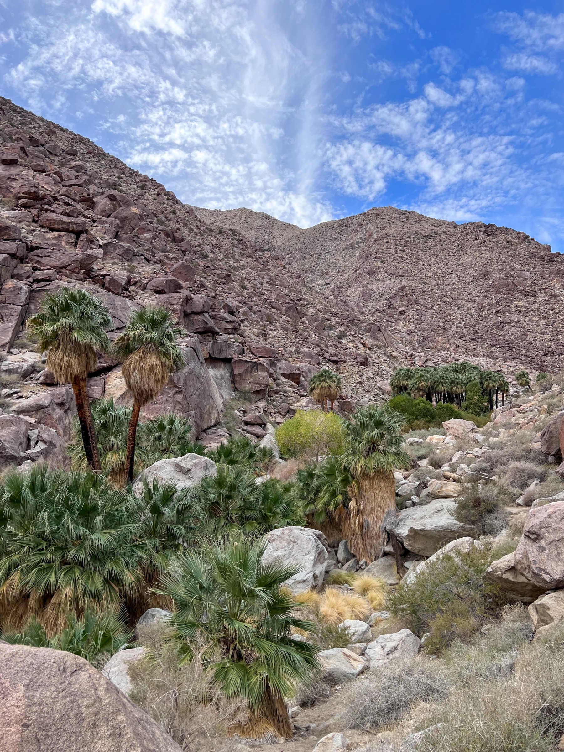
From the campground trailhead the route follows the Borrego Palm Canyon path up a rocky desert wash toward the palm oasis. The official state-park notice reports that the first palm grove is closed for fire recovery and that the trail now ends at a viewpoint overlooking the grove; hikers should stop there and return by the signed loop or alternate route where open.
Why it is essential
Borrego Palm Canyon is the park’s signature oasis hike — California fan palms, desert bighorn habitat, canyon geology and easy access from the visitor-centre side of Borrego Springs.
Equipment
- Hiking shoes
- 2 L water minimum in cool weather; more in heat
- Sun hat and sunscreen
- Snacks
- Offline map
- Binoculars for bighorn sheep
Hazards and notes
- Heat and little shade before the oasis.
- Rocky wash footing and flash-flood risk after storms.
- Rattlesnakes and cactus along the wash.
- Bighorn sheep closures — give the animals space and obey signage.
- No dogs on trails.
- First palm grove is closed for fire recovery; trail ends at a viewpoint.
Routes and maps
| Source | URL |
|---|---|
| California State Parks — Anza-Borrego Desert State Park | parks.ca.gov |
| Borrego Palm Canyon Campground map (PDF) | parks.ca.gov |
| OpenStreetMap — Borrego Palm Canyon Trail | openstreetmap.org |
Further reading
2. Maidenhair Falls via Hellhole Canyon
Snapshot
Itinerary
From the Hellhole Canyon trailhead the route follows an open desert-canyon approach toward Hellhole Palms, then continues into rougher palm and boulder terrain toward Maidenhair Falls. Return by the same route. Conditions vary strongly with heat, storm damage, water flow and navigation in the upper canyon.
Why it is essential
Hellhole Canyon is the longer oasis-and-waterfall counterpart to Borrego Palm Canyon, with a more committing feel and a better sense of the park’s rugged front-country canyons.
Equipment
- Sturdy shoes or light boots
- 3 L water minimum in cool weather; more in warmth
- Sun protection
- Snacks
- Offline map
- Light gloves for boulders (optional)
Hazards and notes
- Long exposed lower approach; heat exposure.
- Flash-flood risk — do not enter during or soon after storms.
- Boulder scrambling and route-finding in the upper canyon.
- Slick rock near water; rattlesnakes.
- No dogs on trails.
Routes and maps
| Source | URL |
|---|---|
| California State Parks — Anza-Borrego Desert State Park | parks.ca.gov |
| Anza-Borrego park map (PDF) | parks.ca.gov |
| OpenStreetMap — Hellhole Canyon / Maidenhair Falls | openstreetmap.org |
Further reading
3. The Slot, Borrego Mountain Wash and West Butte Loop
Snapshot
Itinerary
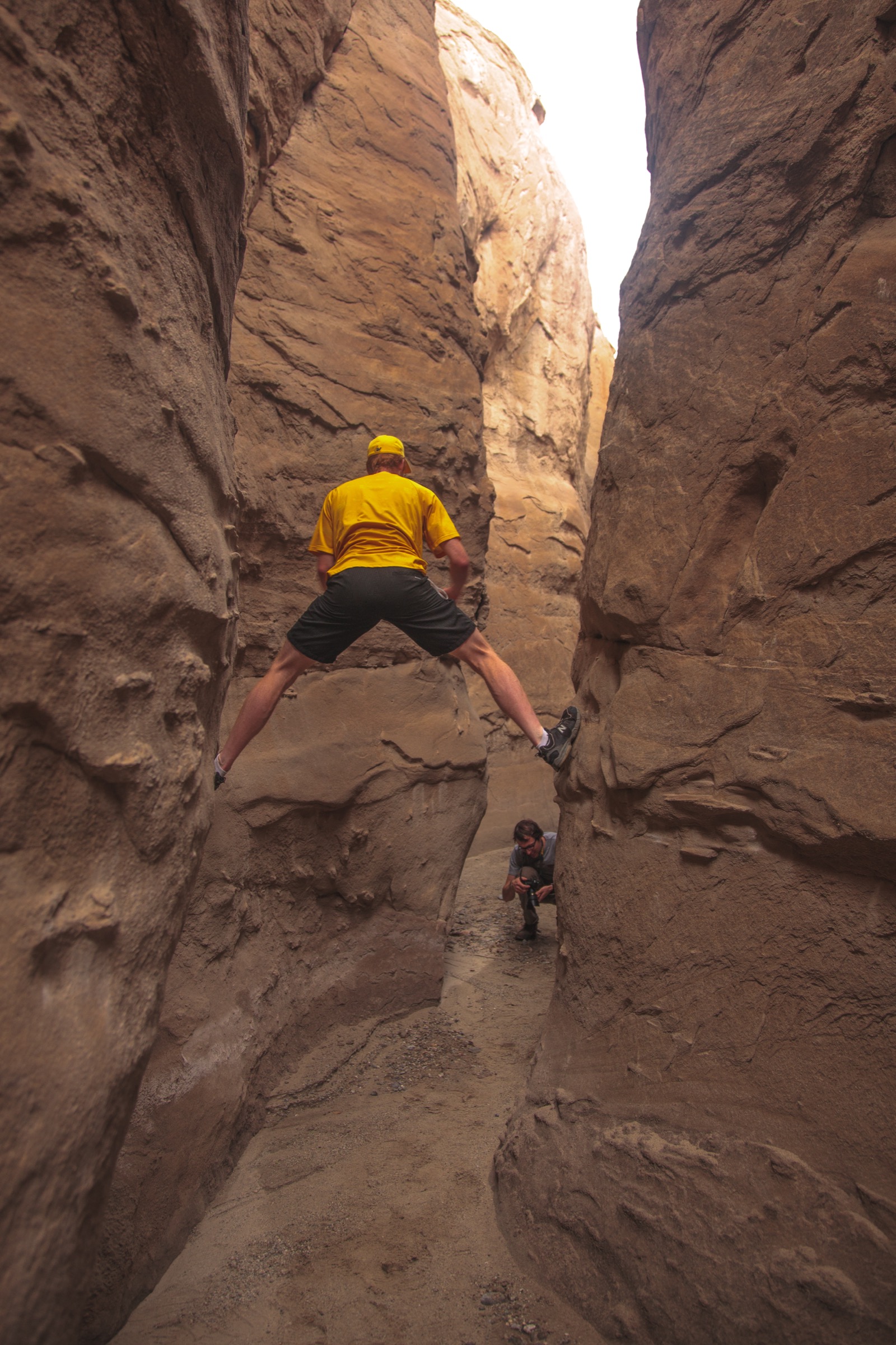
Start at The Slot and descend into the narrow badlands slot, then continue through Borrego Mountain Wash and the West Butte side of the loop before returning to the trailhead. The short version of The Slot is the famous one; this longer loop gives a fuller day-hike sample of Anza-Borrego badlands terrain.
Why it is essential
The Slot is Anza-Borrego’s classic accessible slot-canyon hike — compact, sculpted, geologically vivid and completely different in character from the palm-canyon routes.
Equipment
- Sturdy shoes
- 2–3 L water minimum in cool weather
- Sun protection
- Offline map / GPS and spare battery
- Conservative weather judgment
Hazards and notes
- Flash-flood risk in the slot is the defining hazard — check the forecast and avoid the canyon during or after storms.
- Crumbly badlands and side-canyon confusion.
- No cell service in places.
- Heat and poor shade; rattlesnakes.
- No dogs on trails.
Routes and maps
| Source | URL |
|---|---|
| California State Parks — Anza-Borrego Desert State Park | parks.ca.gov |
| Anza-Borrego park map (PDF) | parks.ca.gov |
| OpenStreetMap — The Slot, Borrego Mountain Wash, West Butte | openstreetmap.org |
Further reading
4. Pictograph Trail to Smuggler’s Canyon viewpoint
Snapshot
Itinerary
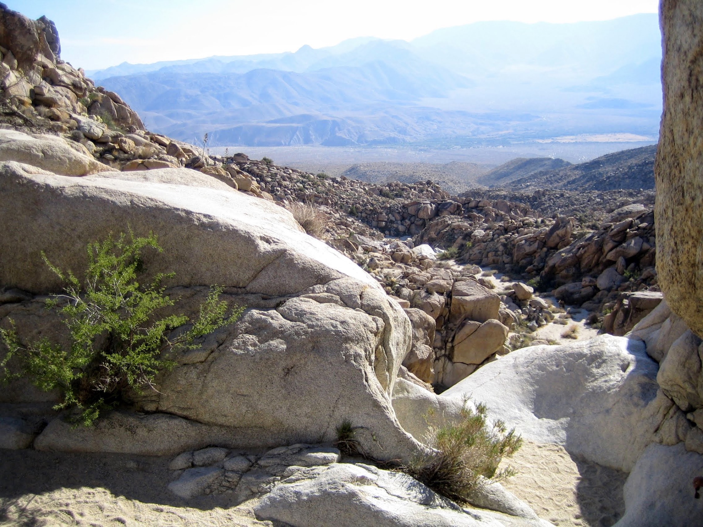
From the Blair Valley Pictograph Trailhead the signed route crosses open desert and boulders to the pictograph site, then continues to the Smuggler’s Canyon viewpoint if conditions and time allow. Return by the same route. Treat all rock art and cultural material as protected.
Why it is essential
This is the clearest cultural-history hike in the Anza-Borrego mountain region: a short route to Kumeyaay pictographs, a rugged canyon viewpoint and the broader Blair Valley landscape of ancient travel and habitation.
Equipment
- Walking / hiking shoes
- Water and sun protection
- Offline map
- Extra care around cultural sites — do not touch pictographs or disturb artifacts
Hazards and notes
- Sandy or rough road approach after storms — check conditions.
- Heat and limited shade.
- Fragile cultural resources; leave no trace and do not touch pictographs.
- Rocky sections and rattlesnakes.
- No dogs on trails.
Routes and maps
| Source | URL |
|---|---|
| California State Parks — Anza-Borrego park brochure (PDF) | parks.ca.gov |
| California State Parks — Anza-Borrego Desert State Park | parks.ca.gov |
| OpenStreetMap — Pictograph Trail / Smuggler’s Canyon | openstreetmap.org |
Further reading
5. Whale Peak
Snapshot
Itinerary
From the rough Pinyon Mountain / Whale Peak access-road trailhead the informal hiking route crosses open desert upland and rocky terrain to the summit, which gives wide views over Anza-Borrego, the Vallecito and Pinyon sectors, Borrego Valley and the surrounding desert basins. Return the same way.
Why it is essential
Whale Peak is the major day-hike summit of the southern Anza-Borrego mountain region — high enough to feel like a real mountain objective, but normally non-technical for fit, well-prepared hikers with appropriate road access.
Equipment
- High-clearance / 4WD vehicle for the shorter start
- Boots and sun protection
- Warm layer for wind at summit elevation
- 3–4 L water minimum in cool weather
- Food and headlamp
- Offline maps and emergency communication plan
Hazards and notes
- Rough 4WD access; do not attempt after storms without checking road conditions.
- Route-finding on unmarked terrain; boulder and rocky sections.
- No reliable cell service; leave a trip plan.
- Heat in the shoulder seasons; cold and wind at the summit in winter.
- Rattlesnakes; no dogs on trails.
- Any climbing-style scrambling beyond your ability should be avoided — this entry treats only the non-technical hiking route.
Routes and maps
| Source | URL |
|---|---|
| California State Parks — Anza-Borrego Desert State Park | parks.ca.gov |
| Anza-Borrego park map (PDF) | parks.ca.gov |
| OpenStreetMap — Whale Peak | openstreetmap.org |
Further reading
Region-wide cautions
- Carry at least one gallon (4 L) of water per person per day and turn around before supplies are half gone.
- October–May is the practical hiking window; treat summer as too hot to be safe on foot in most of the park.
- Dogs are not allowed on foot trails or in natural areas.
- Some access roads require AWD/4WD or high clearance — check road conditions after storms.
- Flash flooding is the defining slot- and canyon-hike hazard; do not enter narrow canyons during or soon after rain.
- Cell coverage is limited or nonexistent — leave a trip plan and carry offline maps.
- Bighorn sheep habitat protections apply; obey closures and give the animals space.