Regional overview
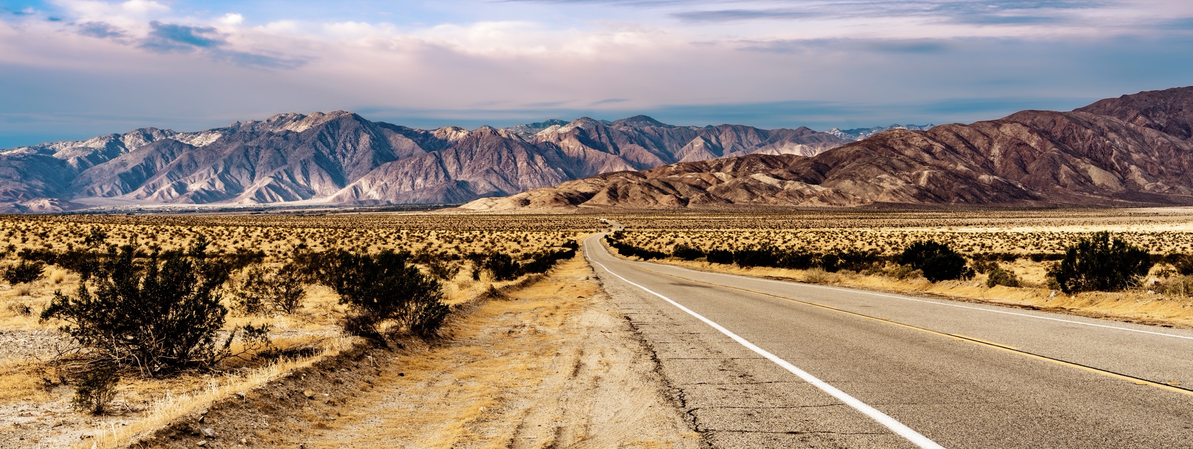
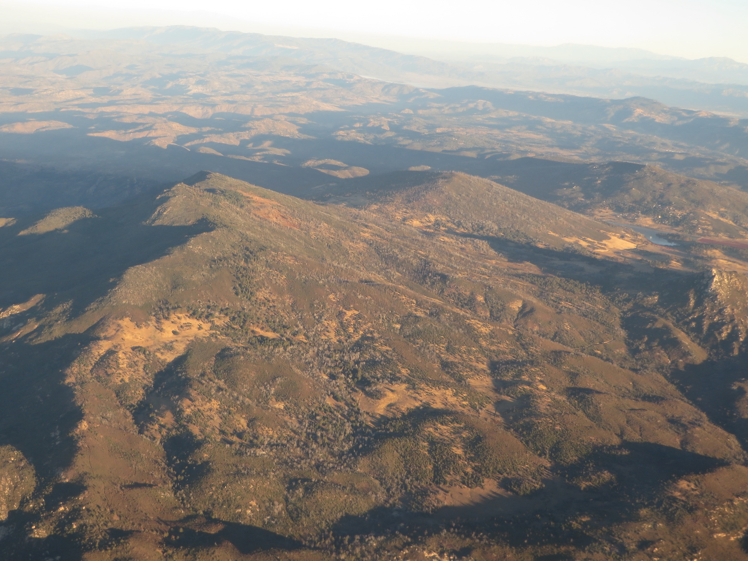
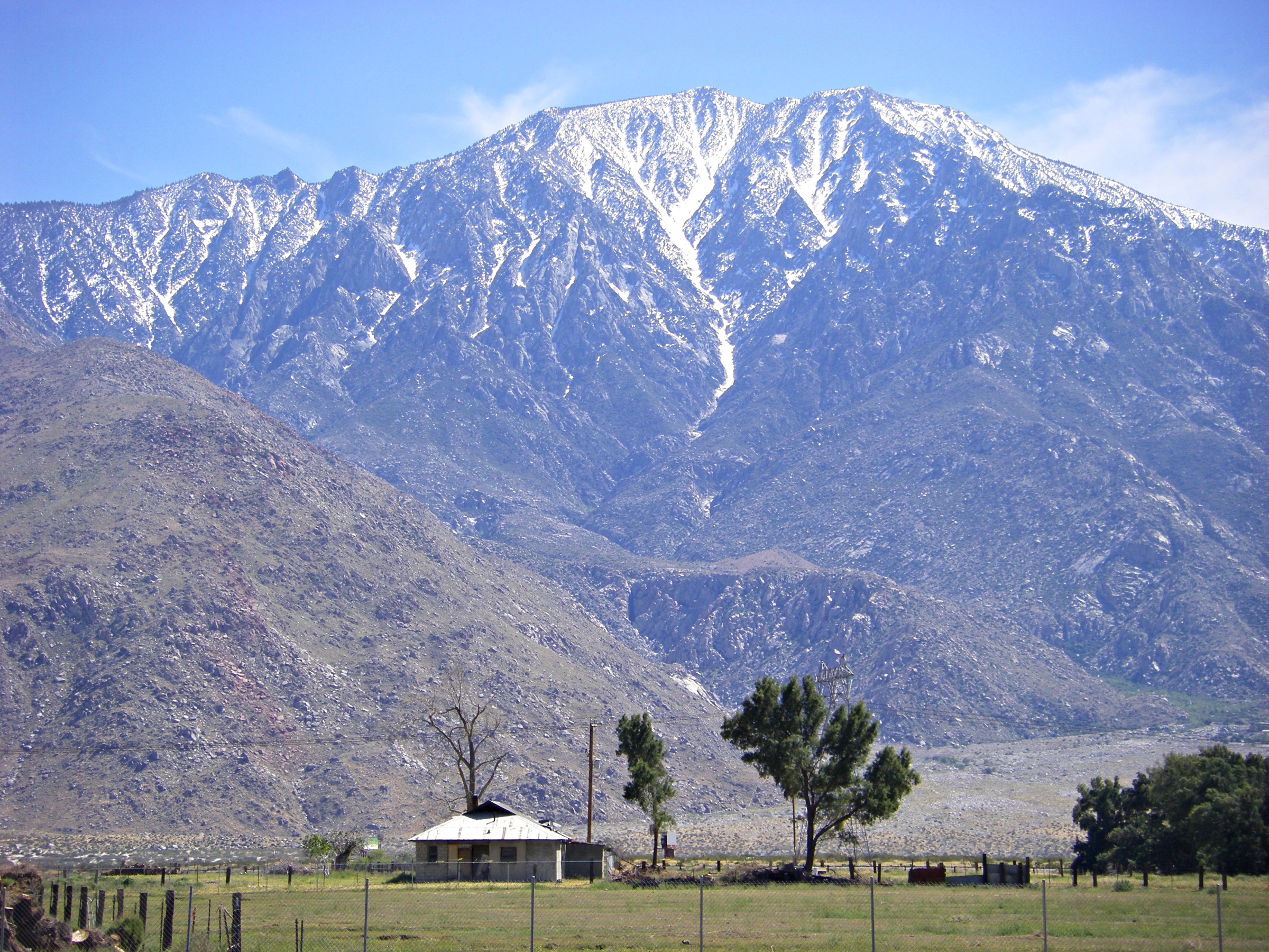
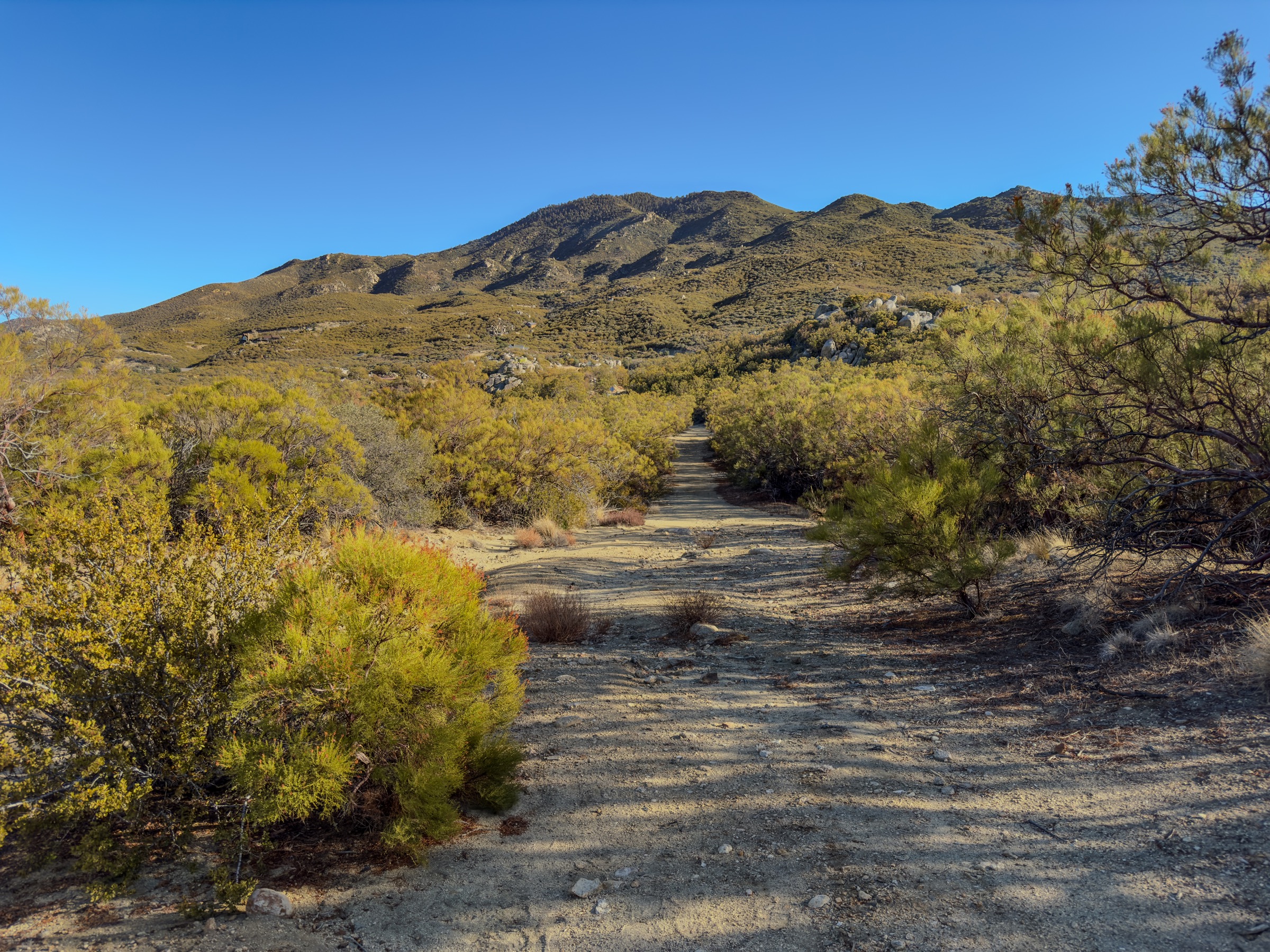
The Laguna Mountains are the pine-and-meadow high country of eastern San Diego County, set along the desert escarpment of the Peninsular Ranges. Most of the hiking is in Cleveland National Forest around Mount Laguna, Sunrise Highway, the Pacific Crest Trail, Laguna Meadow and the drop toward Anza-Borrego Desert State Park. The range is unusually varied for Southern California: Jeffrey pine forest, open meadows, seasonal lakes, chaparral slopes and abrupt desert overlooks can all appear in a single day.
Official Cleveland National Forest trail pages were not accessible during the source-verification pass; route statistics below are marked “approximate” where they were not confirmed against a first-party source. Before travel, normalise distances and GPX/KML files against the current Forest Service map, OSM or another route-data provider with export rights. Adventure Pass or interagency-pass requirements may apply at signed trailheads.
Selection rationale
The five walks cover the core Laguna Mountains experience. Big Laguna Trail / Meadow Loop is the signature forest-and-meadow hike. Garnet Peak via Penny Pines and the PCT is the classic short escarpment summit. Sunset Trail to Big Laguna Lake is the moderate scenic version of the Big Laguna experience. Noble Canyon Trail is the long corridor descent from pine country toward Pine Creek Road. Monument Peak / PCT Viewpoint Loop closes the set with a higher summit-style objective near the Mount Laguna trail network.
Summary table
| # | Hike | Country | Route type | Distance | Gain | Max elevation | Difficulty |
|---|---|---|---|---|---|---|---|
| 1 | Big Laguna Trail / Meadow Loop | USA | Loop | ~16.1 km | ~305–366 m | ~1,829 m | Moderate |
| 2 | Garnet Peak via Penny Pines and PCT | USA | Out-and-back | ~6.4–7.2 km | ~213–274 m | ~1,793 m | Moderate |
| 3 | Sunset Trail to Big Laguna Lake | USA | Loop / lollipop | ~9.7–10.5 km | ~152–213 m | ~1,829 m | Easy–moderate |
| 4 | Noble Canyon Trail (day segment) | USA | Out-and-back or point-to-point | ~12.9–16.1 km | Variable | ~1,676–1,829 m | Moderate–strenuous |
| 5 | Monument Peak / PCT Viewpoint Loop | USA | Loop or out-and-back | ~9.7–12.9 km | ~244–366 m | ~1,911 m | Moderate |
1. Big Laguna Trail / Meadow Loop
Snapshot
Itinerary
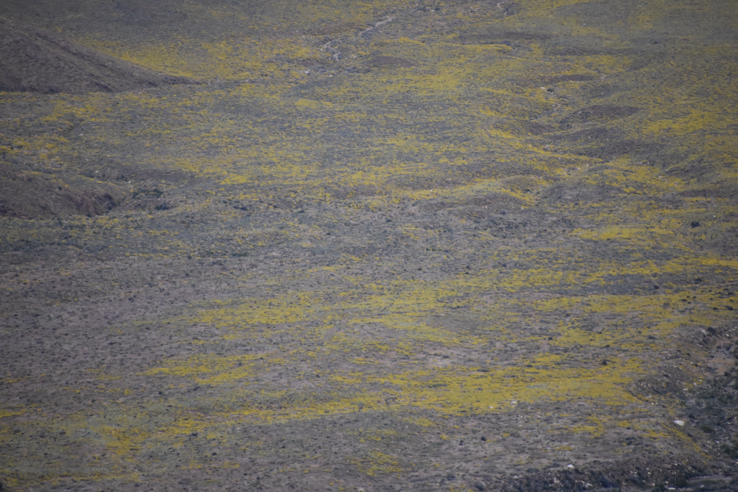
The Big Laguna loop is the area’s signature forest-and-meadow hike. It links pine forest, Laguna Meadow, seasonal lake basins and rolling high-country terrain near the village of Mount Laguna. It is the best single route for understanding why the Laguna Mountains feel different from the hotter chaparral ranges closer to San Diego.
Why it is essential
The defining Mount Laguna meadow hike and the most complete introduction to the range’s high-country terrain.
Equipment
- Sturdy hiking shoes
- Sun protection
- 2–3 L water; no reliable water on the loop
- Wind and warm layers for meadow exposure
- Offline map and GPS
- Traction in winter if snow is present
Hazards and notes
- Meadow sections are exposed to weather and lightning.
- Seasonal lakes and marshy tread after rain.
- Winter snow and ice at the highest elevations.
- Confirm current Cleveland NF parking-pass and access rules.
GPX / route file
| Source | URL | Format | Notes |
|---|---|---|---|
| Cleveland National Forest | fs.usda.gov | Official forest site | Trail-page access unresolved in this pass |
| AllTrails — Big Laguna Trail | alltrails.com | Source map / proprietary trail database | Direct GPX not retrieved |
| OpenStreetMap search | openstreetmap.org | Source map | Reusable only under ODbL terms with attribution/share-alike |
Sources
2. Garnet Peak via Penny Pines and the Pacific Crest Trail
Snapshot
Itinerary
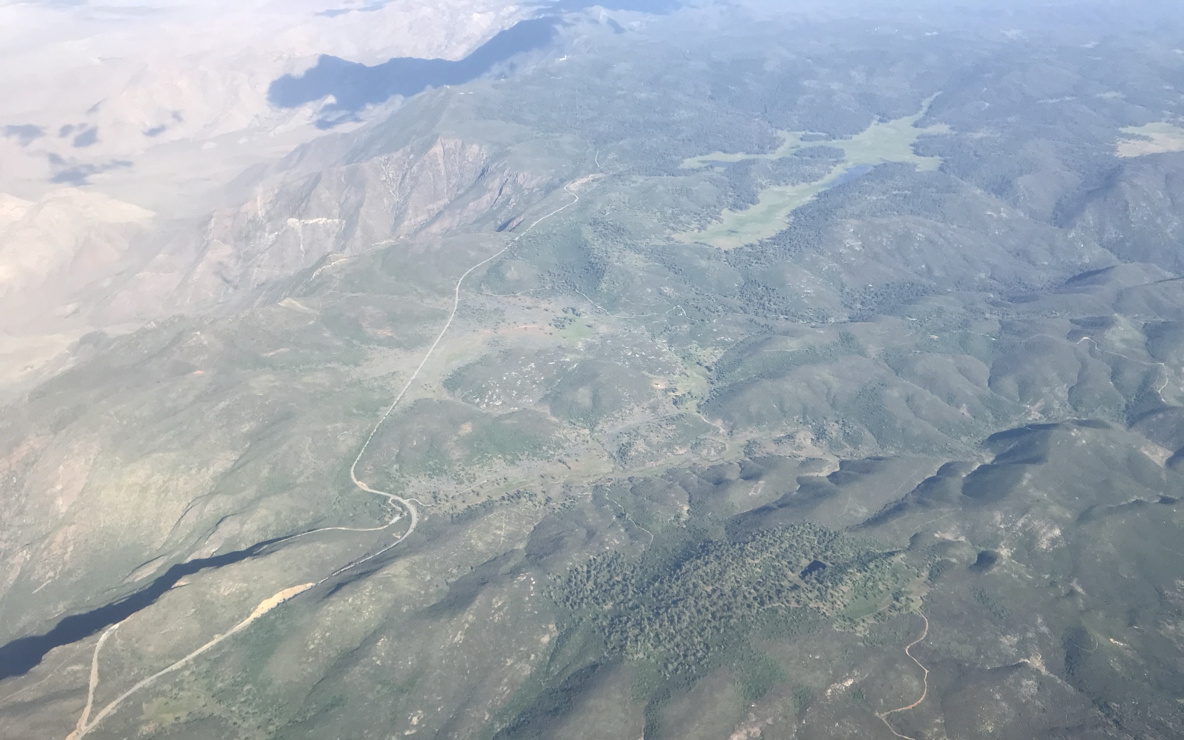
Garnet Peak is the classic short escarpment summit of the Laguna Mountains. The route uses the Pacific Crest Trail corridor and a summit spur to reach wide views over Anza-Borrego, the desert floor and the higher Mount Laguna country. It is short enough for many hikers but exposed enough to feel like a real mountain objective.
Why it is essential
Best short summit and desert-overlook hike in the range.
Equipment
- Sturdy hiking shoes
- Sun protection
- 2 L water; no water on route
- Wind layer
- Offline map
Hazards and notes
- Exposed escarpment — heat, wind and lightning risk.
- Loose rock on the summit spur.
- Watch for PCT thru-hiker traffic in season.
GPX / route file
| Source | URL | Format | Notes |
|---|---|---|---|
| Cleveland National Forest | fs.usda.gov | Official forest site | Trail-page access unresolved in this pass |
| AllTrails — Garnet Peak Trail | alltrails.com | Source map / proprietary trail database | Direct GPX not retrieved |
| OpenStreetMap search | openstreetmap.org | Source map | Reusable only under ODbL terms with attribution/share-alike |
Sources
3. Sunset Trail to Big Laguna Lake
Snapshot
Itinerary
Sunset Trail is the moderate, scenic version of the Big Laguna experience. It threads forest, meadow edges and the Big Laguna Lake area without requiring the longer full Big Laguna loop. It is a good choice when the objective is landscape variety rather than a summit.
Why it is essential
Best moderate forest-and-lake loop for hikers who want Mount Laguna scenery in a shorter day.
Equipment
- Hiking shoes
- Sun protection
- 2 L water
- Wind layer
- Offline map
Hazards and notes
- Marshy tread near seasonal lakes after rain.
- Meadow lightning risk in summer thunderstorms.
- Confirm current Cleveland NF parking-pass and access rules.
GPX / route file
| Source | URL | Format | Notes |
|---|---|---|---|
| Cleveland National Forest | fs.usda.gov | Official forest site | Trail-page access unresolved in this pass |
| AllTrails — Sunset Trail to Big Laguna Lake | alltrails.com | Source map / proprietary trail database | Direct GPX not retrieved |
| OpenStreetMap search | openstreetmap.org | Source map | Reusable only under ODbL terms with attribution/share-alike |
Sources
4. Noble Canyon Trail
Snapshot
Itinerary
Noble Canyon is the Laguna Mountains’ classic long corridor hike, dropping from high pine country into warmer chaparral and canyon terrain. It is often walked as a point-to-point descent, but hikers without a shuttle can use the upper canyon as a substantial out-and-back. Heat, mountain bikes, rocky footing, and poison oak or ticks can all be factors.
Why it is essential
The best long canyon-transition hike from the Laguna high country toward lower San Diego County terrain.
Equipment
- Sturdy hiking shoes with grip
- 3+ L water in warm weather
- Sun protection
- Wind or rain layer
- Offline map and GPS
- First-aid kit
Hazards and notes
- Shared-use trail — expect fast mountain-bike descents.
- Rocky footing; poison oak and ticks in season.
- Substantial heat on the lower canyon.
- Confirm shuttle logistics and Cleveland NF access rules before travel.
GPX / route file
| Source | URL | Format | Notes |
|---|---|---|---|
| Cleveland National Forest | fs.usda.gov | Official forest site | Trail-page access unresolved in this pass |
| AllTrails — Noble Canyon Trail | alltrails.com | Source map / proprietary trail database | Direct GPX not retrieved |
| OpenStreetMap search | openstreetmap.org | Source map | Reusable only under ODbL terms with attribution/share-alike |
Sources
5. Monument Peak / PCT Viewpoint Loop
Snapshot
Itinerary
Monument Peak adds a higher summit-style objective while staying close to the Mount Laguna trail network. Depending on the exact variant, hikers can combine forest roads, the Pacific Crest Trail and desert-view segments for a broad panorama over the escarpment and inland San Diego County.
Why it is essential
Best higher-viewpoint route near Mount Laguna and a strong complement to the meadow and canyon hikes.
Equipment
- Sturdy hiking shoes
- Sun protection
- 2–3 L water
- Wind and warm layers
- Offline map and GPS
Hazards and notes
- Exposed summit — heat, wind and lightning risk.
- Communications and infrastructure sit near the summit; stay on the trail network.
- Confirm current Cleveland NF closures, pass requirements and seasonal road status.
GPX / route file
| Source | URL | Format | Notes |
|---|---|---|---|
| Cleveland National Forest | fs.usda.gov | Official forest site | Trail-page access unresolved in this pass |
| OpenStreetMap search | openstreetmap.org | Source map | Reusable only under ODbL terms with attribution/share-alike |
Sources
Region-wide cautions
- Confirm current Cleveland National Forest closures, pass requirements and fire restrictions before travel.
- Summer heat can be severe on exposed chaparral and desert-edge routes even when Mount Laguna itself feels cool.
- Snow and ice can occur on the highest Laguna Mountains roads and trails in winter.
- Shared-use trails such as Noble Canyon carry fast mountain-bike traffic.
- Several route stats above are approximate because official Cleveland NF trail-page access was unresolved during the source pass; replace with verified GPX/KML data before final production use.
Further reading
- Cleveland National Forest — official site
- Laguna Mountains — reference page
- Mount Laguna — reference page
- Pacific Crest Trail Association
Missing data / follow-up work
- Official Cleveland National Forest trail-page access was unresolved during the source pass; Big Laguna, Sunset Trail, Noble Canyon and Monument Peak distances and gain figures are approximate and should be re-checked against current Forest Service maps or OSM before publication.
- No downloadable GPX or KML files were retrieved for any of the five routes.
- Licence-compatible route-specific images for Garnet Peak summit, Big Laguna Lake, Noble Canyon and Monument Peak are not yet in place; a dedicated Creative Commons search or original photography is needed.
- Confirm the current Adventure Pass or interagency-pass requirement at each signed trailhead.