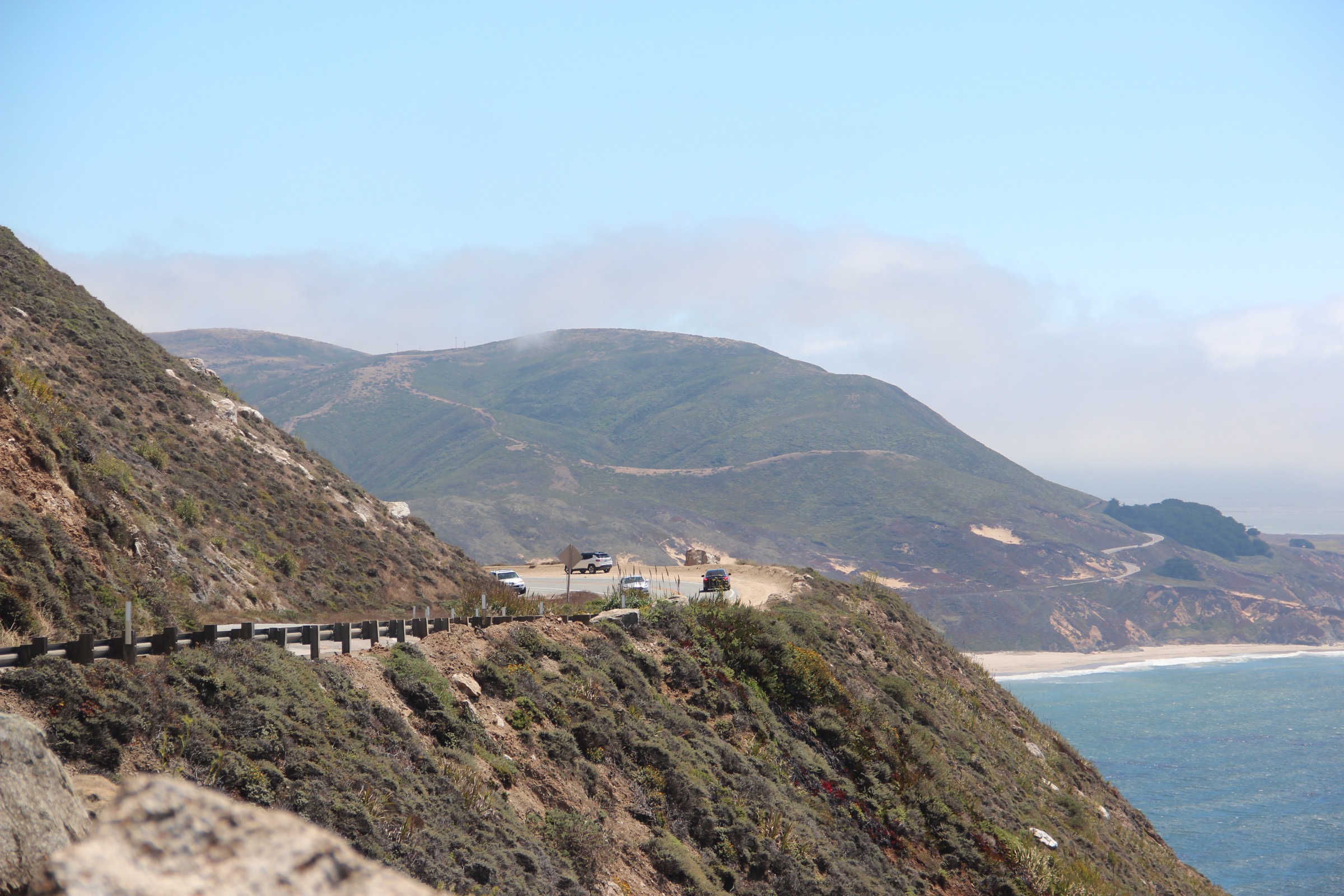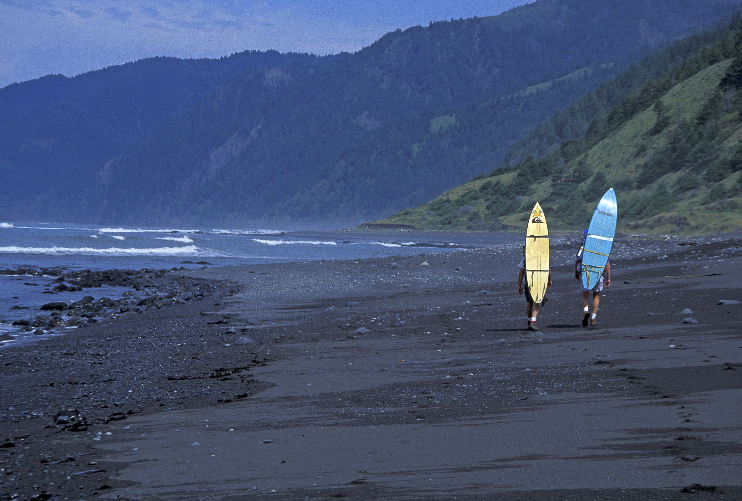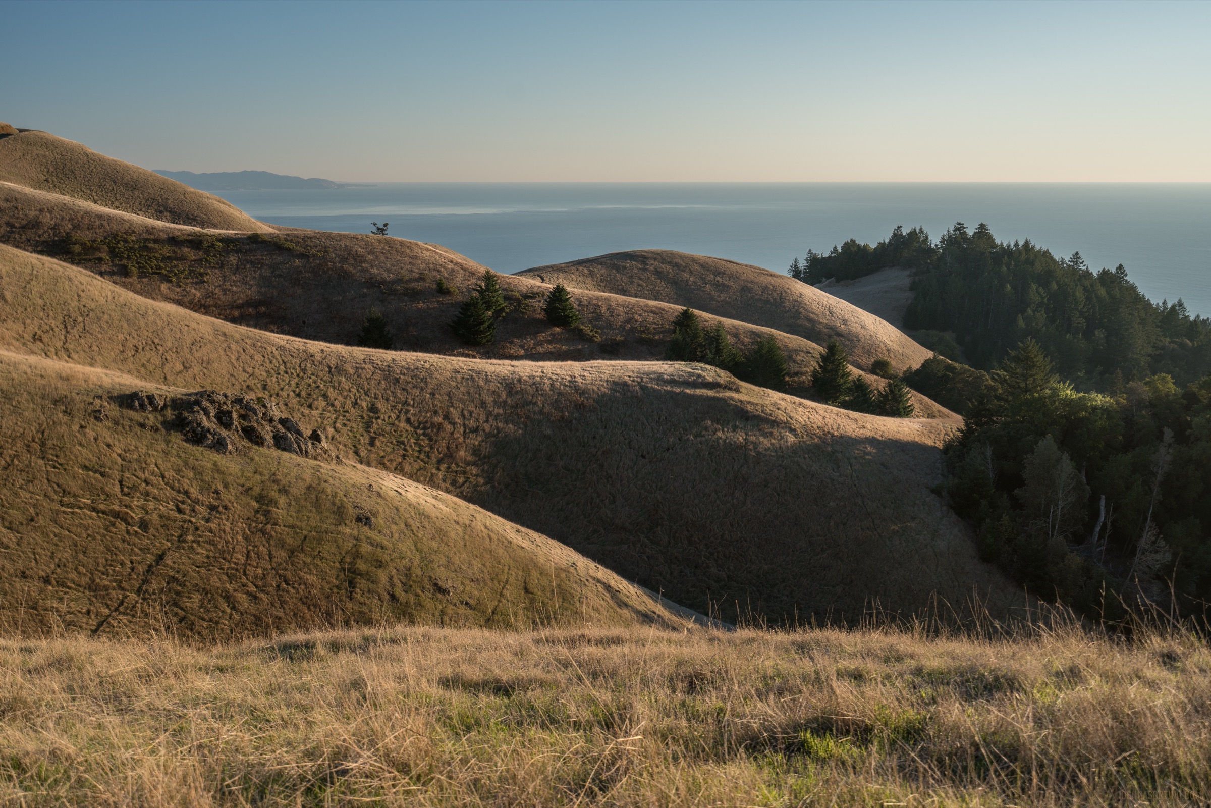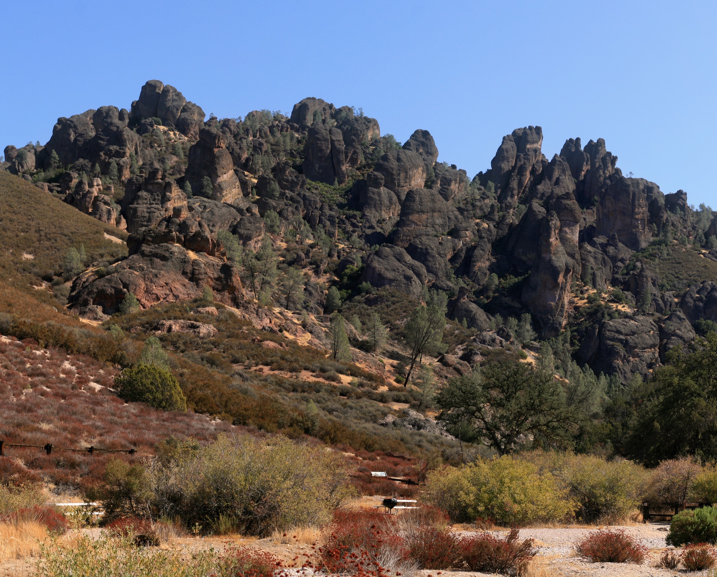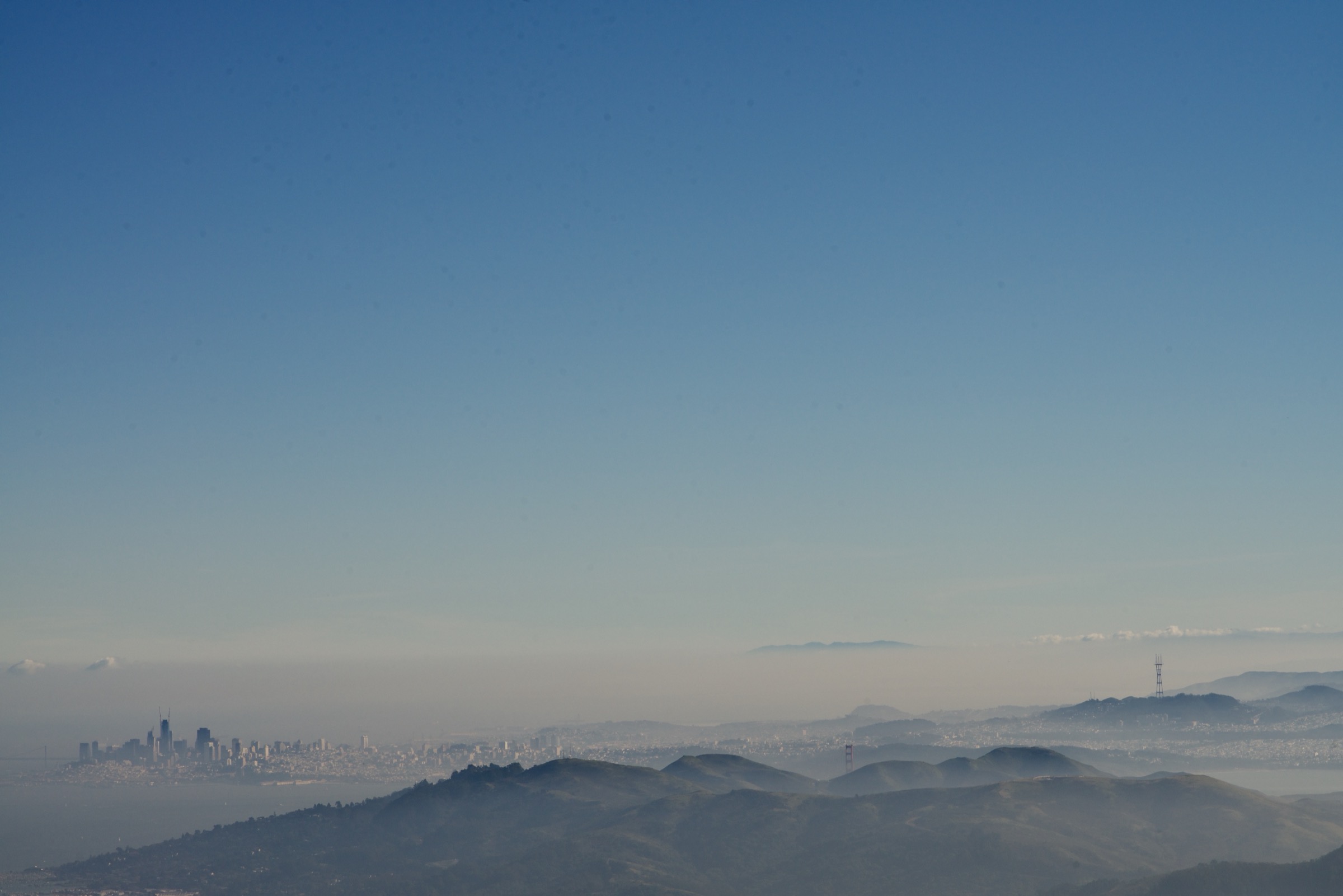
Regional overview
This entry treats the Northern Coast Ranges as the non-Mendocino / non-King Range portion of the California Coast Ranges: Marin County and Point Reyes, the Mayacamas and Vaca ridges around Napa and Lake Berryessa, and the high inner North Coast Range around Snow Mountain. The block sits between the Pacific and the northern Sacramento Valley, with the Mendocino coast and Lost Coast treated separately in the sister Mendocino — King Range entry. Management is split between California State Parks (Mount Tamalpais, Robert Louis Stevenson), the National Park Service (Point Reyes National Seashore), the Bureau of Land Management (Berryessa Snow Mountain National Monument), and the US Forest Service (Mendocino National Forest / Snow Mountain Wilderness).
The walking character alternates foggy redwood canyons and Pacific coastal ridges on the outer side with chaparral fire roads, serpentine wildflower slopes and remote interior summits on the inner side. The region is not technically alpine, but it is still serious day-hiking country. Common issues include heat on exposed interior ridges, fog and wind on the coast, ticks, poison oak, rattlesnakes, wildfire smoke and closures, limited water, seasonal mud, rough trailhead roads on the Berryessa and Snow Mountain approaches, and occasional winter snow on the highest summits. The 2015–2020 wildfire years affected Mount Saint Helena, the Mayacamas and parts of the Berryessa Snow Mountain corridor, and post-fire recovery still shapes trail conditions on the interior routes.
Access ranges from urban-transit-reachable (Marin) to genuinely remote (Snow Mountain). Point Reyes and Mount Tamalpais carry heavy weekend pressure and the parking lots fill early, while Berryessa Peak and the Summit Springs trailhead for Snow Mountain sit at the end of narrow, rough public roads with no services. Cell coverage is patchy in the interior monuments and effectively absent on the Snow Mountain approach.
Selection rationale
The five hikes balance the region’s defining experiences: Mount Tamalpais for the compact redwood-canyon and Pacific-view classic, Tomales Point for coastal wildlife and Point Reyes headland scenery, Mount Saint Helena for the landmark Mayacamas summit above wine country, Berryessa Peak for the dry inner Coast Range ridge walk, and Snow Mountain West Peak for the highest, wildest North Coast Range day objective. Mendocino coast and King Range hikes are intentionally left for the separate Mendocino — King Range entry.
Summary table
| # | Hike | Country | Route type | Distance | Gain | Max elevation | Difficulty |
|---|---|---|---|---|---|---|---|
| 1 | Steep Ravine – Dipsea – Matt Davis loop from Pantoll | USA | Loop | 10.8 km | 521 m | 484 m | Moderate |
| 2 | Tomales Point Trail | USA | Out-and-back | 15.4 km | 367 m | 165 m | Moderate |
| 3 | Mount Saint Helena Trail | USA | Out-and-back | 16.3 km | 646 m | 1,319 m | Hard |
| 4 | Berryessa Peak Trail | USA | Out-and-back | 23.7 km | 1,069 m | 929 m | Strenuous |
| 5 | Snow Mountain West Peak via Summit Springs | USA | Out-and-back | 13.7 km | 631 m | 2,140 m | Moderate–hard |
1. Steep Ravine – Dipsea – Matt Davis loop from Pantoll
Snapshot
Itinerary
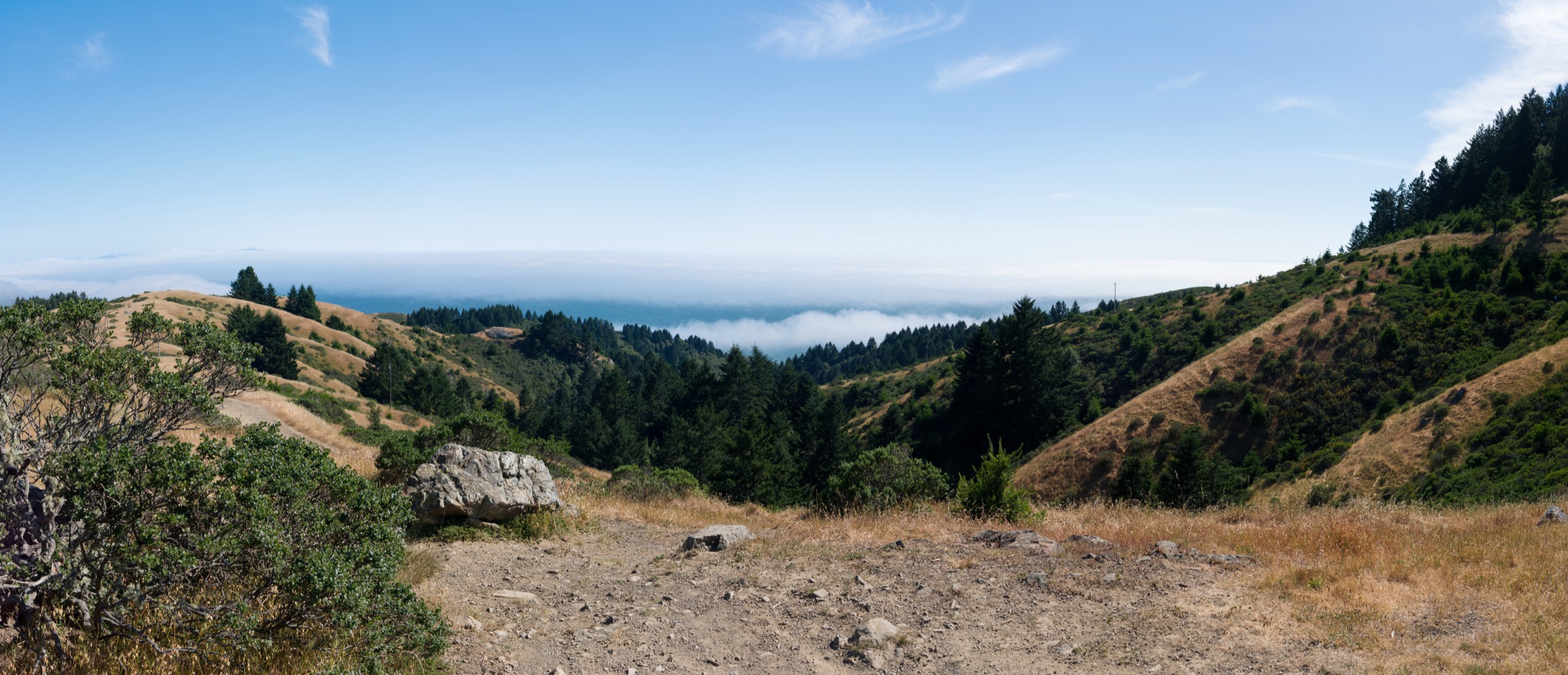
From Pantoll, the route descends the Steep Ravine Trail through redwood and fern canyon to the Dipsea Trail junction, then links coastal-slope sections of the Dipsea and Matt Davis trails back to Pantoll. The loop combines shaded creek canyon, wooden ladder-and-step sections, open coastal grassland, Pacific and Marin-Headlands views, and the classic Mount Tamalpais ridge scenery. It can be walked in either direction; the canyon descent under Steep Ravine is the more picturesque line but is slippery when wet and gains the equivalent altitude back on the Matt Davis side.
Why it is essential
This is the compact Mount Tamalpais classic: redwoods, historic Dipsea terrain, waterfall canyon and Pacific views in one loop. It represents the lush coastal side of the Northern Coast Ranges better than a simple summit road walk and is the standard “why go to Mount Tam” day for a visitor without a whole weekend.
Equipment
- Grippy trail shoes or light boots — redwood steps and roots are slick
- Trekking poles for the descent under Steep Ravine
- Windproof and warm layer for coastal fog
- Water (1.5–2 L)
- Sun protection for the Matt Davis grassland sections
- Map — trail junctions are frequent
- Insect and tick protection in warmer months
Hazards and notes
- Poison oak, rattlesnakes, mountain lions and ticks are all documented by California State Parks — standard Bay Area coastal-mountain awareness applies.
- Redwood canyon tread is slick after rain; the ladder-step sections need care.
- Trailhead parking fills early on weekends; arrive at first light or use transit.
- Dogs are not allowed on Mount Tamalpais State Park trails.
- Winter storms can bring downed trees and short-term closures — verify current status before travel.
GPX / route file
| Source | URL | Format | Notes |
|---|---|---|---|
| California State Parks — Mount Tamalpais State Park | parks.ca.gov | Web page | Official managing authority |
| AllTrails — Steep Ravine, Dipsea and Matt Davis Loop from Pantoll | alltrails.com | Web page | Distance and elevation cross-check — proprietary geometry, do not reuse |
| OpenStreetMap search — Steep Ravine / Dipsea / Matt Davis | openstreetmap.org | Map data (ODbL) | Geometry cross-check |
Sources
- California State Parks — Mount Tamalpais State Park
- AllTrails — Steep Ravine, Dipsea and Matt Davis Loop from Pantoll
2. Tomales Point Trail
Snapshot
Itinerary
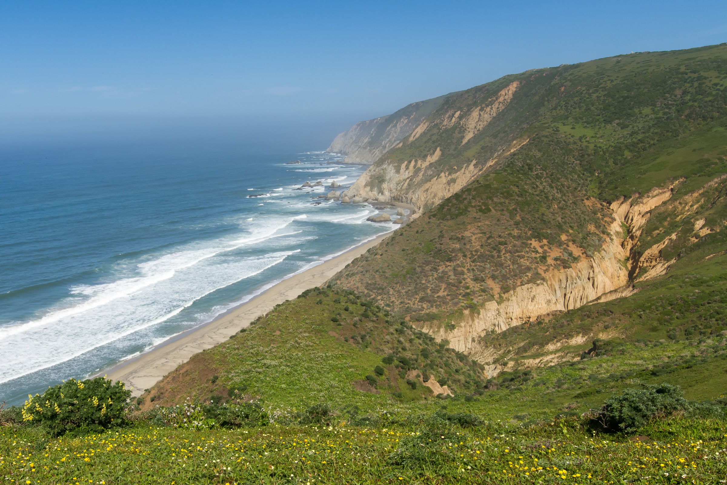
From Pierce Point Ranch, the route follows the open peninsula north between Tomales Bay and the Pacific. The first miles are clear and well maintained, with rolling coastal grassland, tule elk habitat, and broad views toward Bodega Bay and the Point Reyes headlands. The final ~1.7 mi toward Tomales Point is more informal, with unmaintained tread, social tracks and eroding bluff edges; the NPS advisory pages flag it as unmaintained and warn about cliff-edge hazards. Return is on the same route.
Why it is essential
Tomales Point is the signature Point Reyes day-hike: a long, simple coastal-ridge walk with big ocean-and-bay geography, tule elk, historic ranching context and a genuine end-of-land finish. It is the walk that most cleanly delivers the Point Reyes landscape without committing to a full multi-hike day.
Equipment
- Windproof and warm layers even in summer — coastal fog and wind can drop temperatures fast
- Sturdy trail shoes; light boots if the final section is muddy
- Water (2 L; no reliable water on route)
- Sun protection
- Map
- Binoculars for elk and coastal birds
Hazards and notes
- Last 1.7 mi is unmaintained and overgrown; NPS explicitly warns about social trails and cliff-edge hazards. Stay well back from cracked or collapsing bluffs.
- Fog can reduce visibility to a few metres — carry navigation and a warm layer.
- Pets are not allowed on Point Reyes backcountry trails.
- Drones are prohibited in the national seashore.
- Tule elk are wild — keep a respectful distance, particularly during the autumn rut.
- Parking at Pierce Point Ranch fills early on weekends and can be affected by seasonal road closures.
GPX / route file
| Source | URL | Format | Notes |
|---|---|---|---|
| NPS — Point Reyes hiking guide | nps.gov | Web page | Official trail guide |
| NPS — Point Reyes trail advisories | nps.gov | Web page | Current condition reference |
| AllTrails — Tomales Point Trail | alltrails.com | Web page | Distance and elevation cross-check — proprietary geometry, do not reuse |
| OpenStreetMap search — Tomales Point Trail | openstreetmap.org | Map data (ODbL) | Geometry cross-check |
Sources
3. Mount Saint Helena Trail
Snapshot
Itinerary
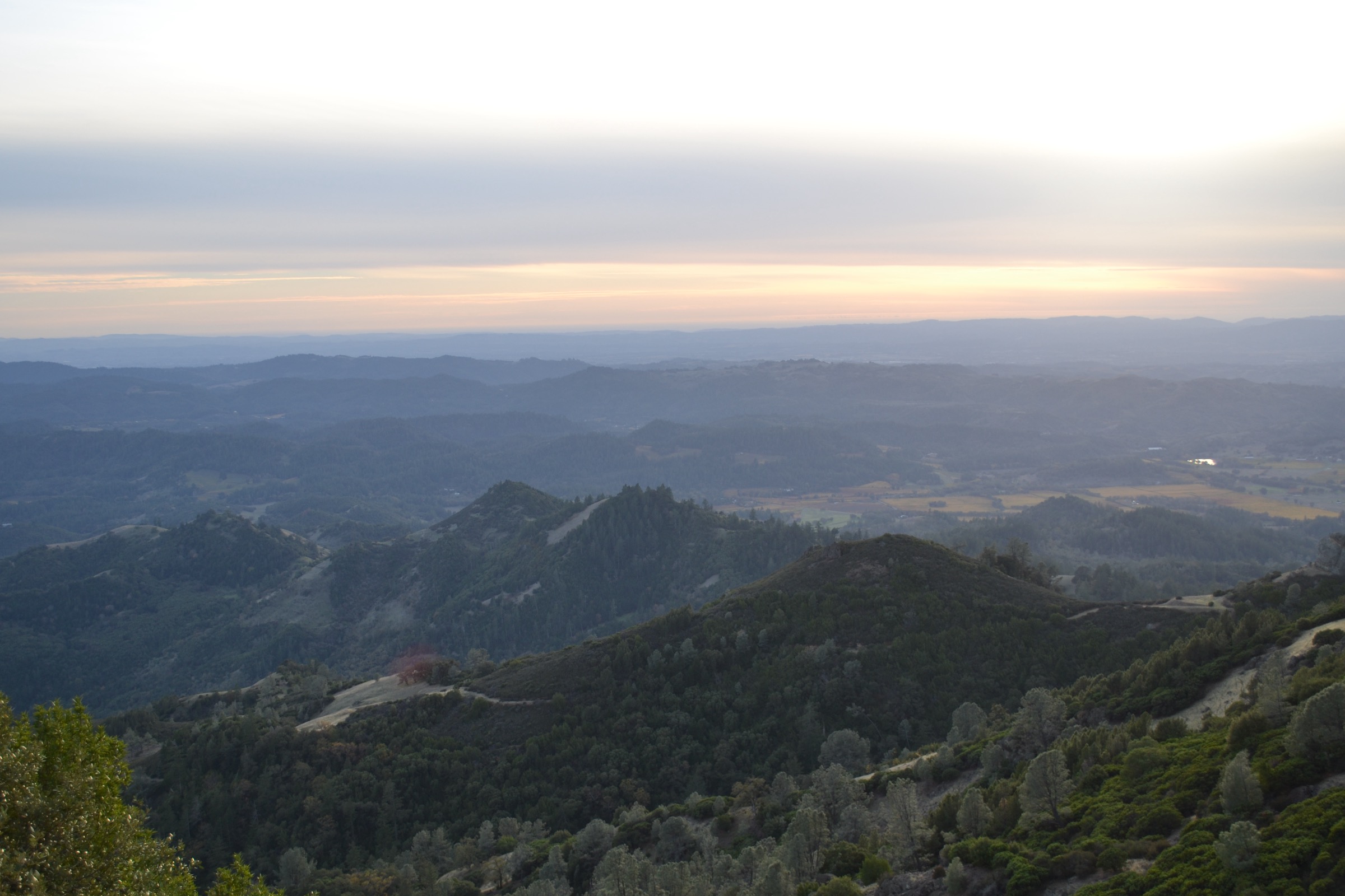
The route starts on the Stevenson Memorial Trail near the site of Robert Louis Stevenson’s honeymoon cabin, then joins the Mount Saint Helena Trail. It climbs steadily on an old fire road through chaparral, evergreen forest pockets, and increasingly exposed slopes to the summit ridges of Mount Saint Helena at 1,319 m. On clear winter days the view reaches across Wine Country, the Bay Area, Mount Diablo, the Mayacamas and — on the sharpest days — north to Mount Shasta. Return is on the same route.
Why it is essential
Mount Saint Helena is the landmark summit of the Napa / Mayacamas highlands. It is a long but non-technical Coast Range peak day with literary history, wine-country geography and exceptional winter visibility — the walk that most cleanly delivers the inner Northern Coast Ranges’ identity as the wine-country skyline.
Equipment
- Mountain hiking shoes or boots for the fire-road grade
- Trekking poles for the descent
- Windproof shell and warm layer — summit ridge is exposed
- Water (3 L in cool weather, more in heat; no reliable water on route)
- Sun protection and wide hat
- Map
- Microspikes possible for winter rime or snow
Hazards and notes
- Long, exposed fire-road climb — heat is the principal hazard from May to September.
- Poison oak, ticks, rattlesnakes and loose gravel on the fire road.
- Wildfire recovery is still visible on parts of the summit ridge; watch for deadfall and standing snags in wind.
- Dogs are not permitted in Robert Louis Stevenson State Park.
- Highway 29 parking is a small pull-out and fills early on clear-view weekends.
GPX / route file
| Source | URL | Format | Notes |
|---|---|---|---|
| California State Parks — Robert Louis Stevenson State Park | parks.ca.gov | Web page | Official managing authority |
| AllTrails — Mount Saint Helena Trail | alltrails.com | Web page | Distance and elevation cross-check — proprietary geometry, do not reuse |
| OpenStreetMap search — Mount Saint Helena Trail | openstreetmap.org | Map data (ODbL) | Geometry cross-check |
Sources
4. Berryessa Peak Trail
Snapshot
Itinerary
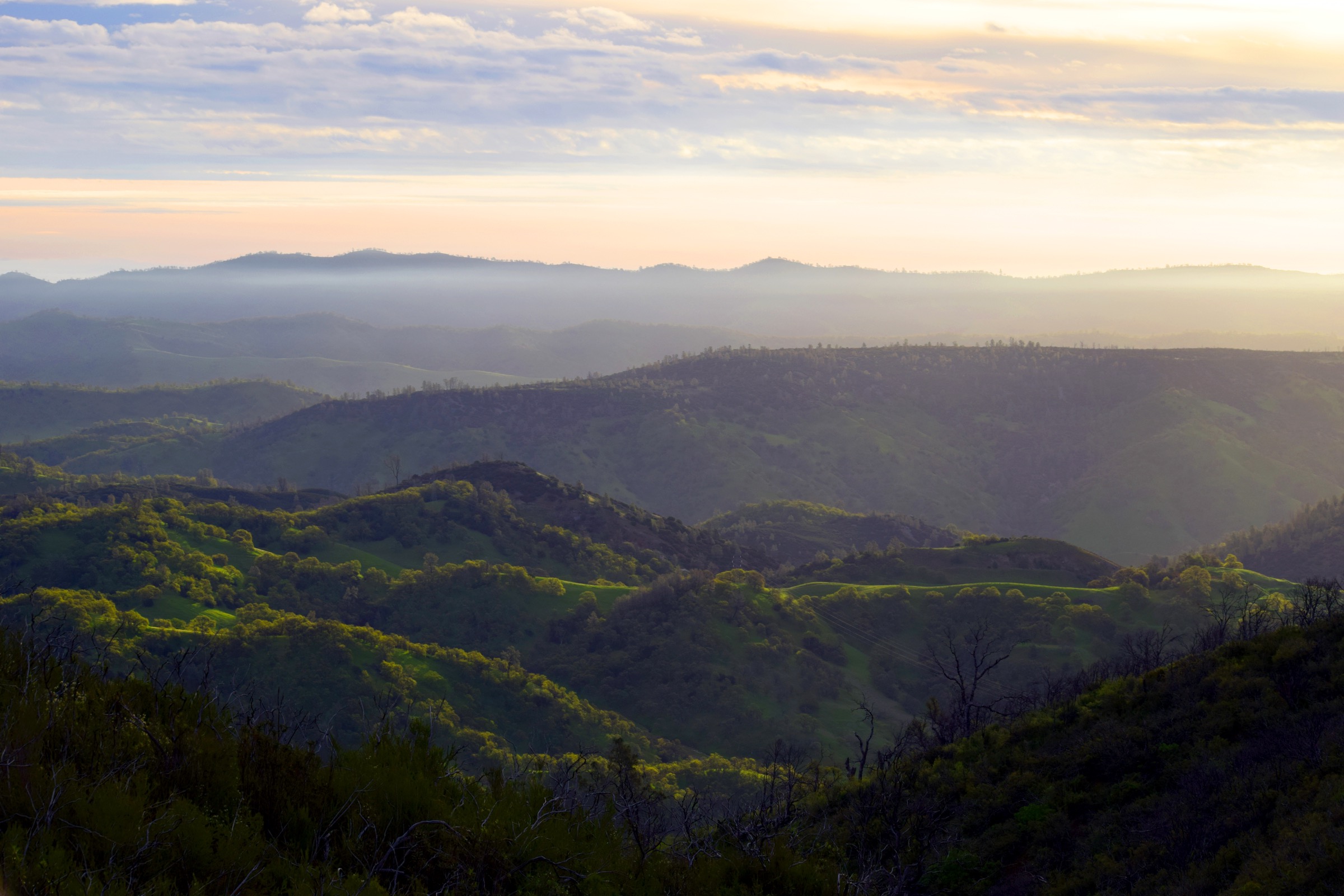
The trail climbs from Berryessa–Knoxville Road through oak woodland, chaparral and increasingly open ridgeline terrain above Lake Berryessa. The long out-and-back gains the main ridge and continues toward the three-part summit area of Berryessa Peak at 929 m, with views across the Vaca Mountains, Mayacamas, Mount Saint Helena, Mount Tamalpais, Snow Mountain, the Sacramento Valley and — on exceptionally clear days — much farther north and east. Return is on the same route.
Why it is essential
Berryessa Peak represents the hot, dry, interior side of the Northern Coast Ranges. It is a demanding ridge day with strong wildflower potential, huge views and a clear sense of the Berryessa Snow Mountain corridor between the coast-facing ridges and the Central Valley edge — the essential inner-Coast-Range ridge walk of the catalogue.
Equipment
- Sturdy hiking boots
- Trekking poles for the long descent
- 3–4 L water in cool weather; more in heat — no reliable water on route
- Long sleeves and trousers for brush
- Sun and heat protection, wide hat
- Offline map and GPS
- Headtorch for the long return
- Bear spray is not required, but standard California snake-and-tick awareness applies
Hazards and notes
- Exposure, wind and no shade on the ridge — heat is the dominant hazard.
- Ticks, poison oak and rattlesnakes are all present; check clothing and skin at the trailhead.
- Wildfire history in the corridor — watch for deadfall and post-fire erosion.
- Stay on the public trail corridor to avoid private-land trespass.
- Berryessa–Knoxville Road is remote and narrow; check conditions before travel.
- Cell coverage is patchy — leave an itinerary.
GPX / route file
| Source | URL | Format | Notes |
|---|---|---|---|
| BLM — Berryessa Snow Mountain National Monument | blm.gov | Web page | Official managing authority |
| BLM — Berryessa Snow Mountain map and guide (PDF) | blm.gov | Official PDF map | Public-agency map |
| AllTrails — Berryessa Peak Trail | alltrails.com | Web page | Distance and elevation cross-check — proprietary geometry, do not reuse |
| OpenStreetMap search — Berryessa Peak Trail | openstreetmap.org | Map data (ODbL) | Geometry cross-check |
Sources
- BLM — Berryessa Snow Mountain National Monument
- BLM — Berryessa Snow Mountain map and guide (PDF)
- AllTrails — Berryessa Peak Trail
5. Snow Mountain West Peak via Summit Springs
Snapshot
Itinerary
From the Summit Springs Trailhead, the Summit Trail climbs toward Snow Mountain’s West Peak through open slopes, mixed conifer forest and open high Coast Range terrain. The route is more remote than the Marin and Napa hikes and reaches a true high-country summit environment at 2,140 m, with broad views over the Berryessa Snow Mountain National Monument, the Mendocino National Forest and the surrounding North Coast Ranges — including, on clear days, a line toward the Trinity Alps and southern Cascades. Return is on the same route. The East Peak of Snow Mountain sits nearby and can be added on the same day for parties with time.
Why it is essential
Snow Mountain West Peak is the high-elevation counterweight to the coastal and wine-country classics. It gives the Northern Coast Ranges catalogue a genuine mountain summit day and shows the wilder, less urban side of the range at its northern inner-block.
Equipment
- Sturdy mountain hiking boots
- Trekking poles
- Full mountain day-kit: water (2.5–3 L, no reliable water on route), food, warm and waterproof layers
- Sun protection
- Offline navigation
- Headtorch and first-aid kit
- Traction if snow or icy patches remain early or late in the season
Hazards and notes
- Remote access, limited services and weak-to-absent phone coverage — leave an itinerary.
- Downed trees and post-storm damage can affect trail tread.
- Ticks and poison oak at lower elevations; standard California awareness.
- Possible snow or icy patches early or late in the season.
- Access forest roads can be rough or seasonally closed — verify with the Mendocino National Forest or BLM before travel.
- Wildfire recovery is visible on parts of the approach and summit ridge.
GPX / route file
| Source | URL | Format | Notes |
|---|---|---|---|
| BLM — Berryessa Snow Mountain National Monument | blm.gov | Web page | Official managing authority |
| BLM — Berryessa Snow Mountain map and guide (PDF) | blm.gov | Official PDF map | Public-agency map |
| AllTrails — Snow Mountain West Peak | alltrails.com | Web page | Distance and elevation cross-check — proprietary geometry, do not reuse |
| OpenStreetMap search — Snow Mountain West Peak Summit Trail | openstreetmap.org | Map data (ODbL) | Geometry cross-check |
Sources
- BLM — Berryessa Snow Mountain National Monument
- BLM — Berryessa Snow Mountain map and guide (PDF)
- AllTrails — Snow Mountain West Peak
Routes excluded as out of scope
The following sit inside or adjacent to the Northern Coast Ranges but fall outside a day-hike entry or are better treated in a neighbouring catalogue.
- Mendocino coast and King Range / Lost Coast walks. Covered in the sister catalogue on Mendocino — King Range.
- Bay Area urban ridges (Mount Diablo, Mount Sutro, San Bruno). Better treated in the sister San Francisco Bay Area Ranges catalogue.
- Snow Mountain East Peak and West-East traverse. Natural extension of the Snow Mountain day but adds significant distance and route-finding beyond a comfortable day.
- Cache Creek / Judge Davis backcountry loops. Multi-day BLM backcountry rather than day-hikes.
- Point Reyes multi-hike days (Bear Valley, Palomarin, Alamere Falls). Distinct Point Reyes day-hikes each worth their own treatment; Tomales Point is the single essential.
Further reading
| Source | URL |
|---|---|
| California State Parks — Mount Tamalpais State Park | parks.ca.gov |
| California State Parks — Robert Louis Stevenson State Park | parks.ca.gov |
| NPS — Point Reyes hiking guide | nps.gov |
| NPS — Point Reyes trail advisories | nps.gov |
| BLM — Berryessa Snow Mountain National Monument | blm.gov |
| BLM — Berryessa Snow Mountain map and guide (PDF) | blm.gov |
| USFS — Mendocino National Forest | fs.usda.gov |
| Wikipedia — California Coast Ranges | en.wikipedia.org |
| Wikipedia — Mount Tamalpais | en.wikipedia.org |
| Wikipedia — Point Reyes National Seashore | en.wikipedia.org |
| Wikipedia — Mount Saint Helena | en.wikipedia.org |
| Wikipedia — Berryessa Peak | en.wikipedia.org |
| Wikipedia — Snow Mountain (California) | en.wikipedia.org |
Missing data / follow-up work
- Direct GPX downloads for all five routes were not retrieved in this pass; each hike is anchored to the managing agency page plus AllTrails as a secondary stats cross-check. Route geometry for planning can be exported from OpenStreetMap; do not reuse AllTrails geometry.
- Public-transport access to Point Reyes and Mount Tamalpais trailheads (West Marin Stagecoach stops, weekend service) was not verified stop-by-stop and should be confirmed before recommending a car-free itinerary.
- Licence-compatible photographs have been identified on Wikimedia Commons for Mount Tamalpais (California State Parks / Oscar Vasquez, public domain), Tomales Point (Oleg Alexandrov, CC BY-SA 3.0 — two files including a tule elk shot), Mount Saint Helena (Oleg Alexandrov, CC BY-SA 4.0), Berryessa Snow Mountain (BLM California / Jesse Pluim, public domain — regional not route-specific) and Snow Mountain (Marcia Wright, CC BY 3.0). None have been downloaded or embedded here — resize to 2,400 px long edge before shipping and add figcaption credit blocks matching the site convention.
- A route-specific licence-compatible photo of Berryessa Peak itself was not confirmed; the BLM regional image is a stand-in.
- Berryessa Peak trailhead facilities (water, restrooms) were not verified on the ground for the 2026-07-13 pass.
- Fire history around Mount Saint Helena, Berryessa and Snow Mountain continues to affect trail conditions and short-term closures; confirm current status with California State Parks, BLM California and the Mendocino National Forest before travel.