Regional overview
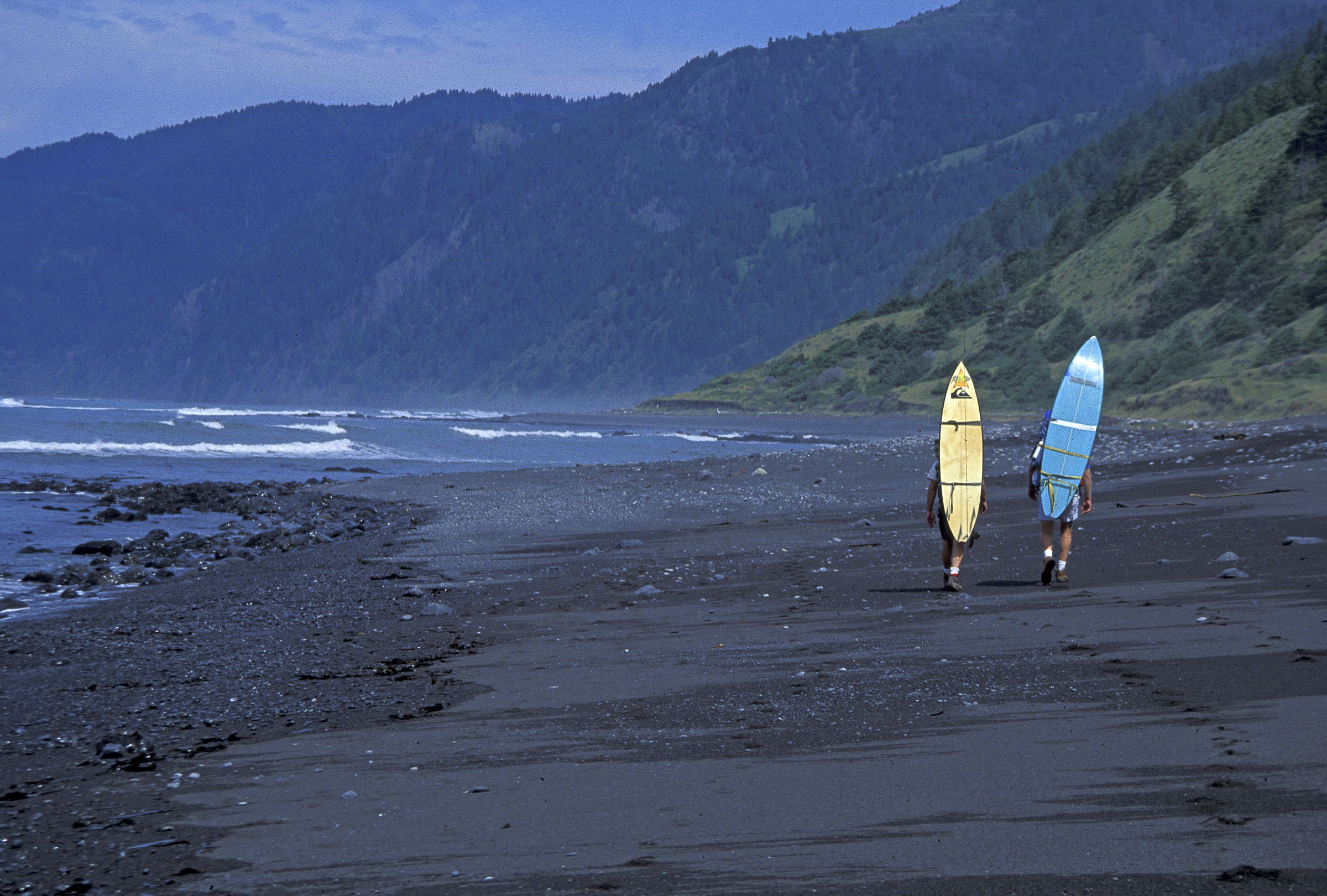
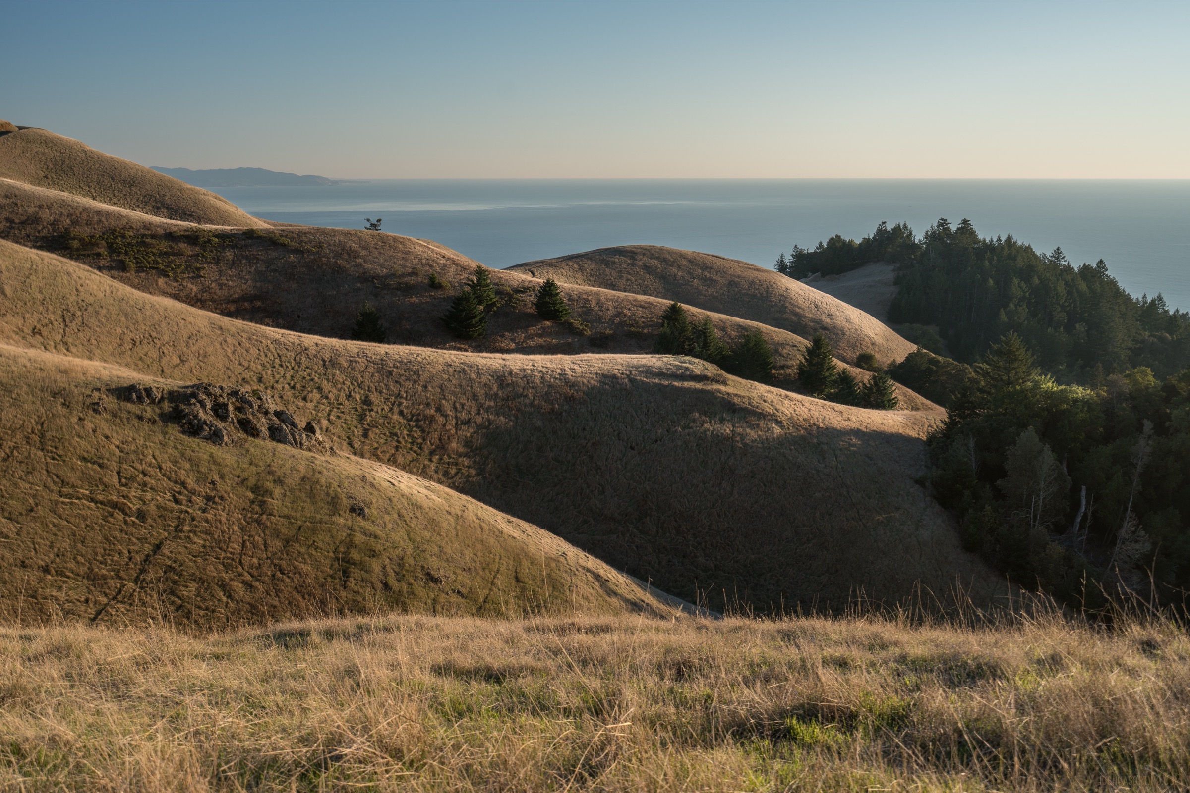
The Santa Lucia Range runs for about 140 miles (225 km) along the California Central Coast between the Carmel River and the Cuyama Valley, and it is the wall of rock the Pacific Coast Highway is pinned against between Carmel and San Simeon. Along the Big Sur front the range rises directly out of the ocean: Cone Peak reaches 5,155 ft (1,571 m) only about 3 mi (5 km) inland, the greatest coastal relief in the contiguous United States, and the ridgeline between Ventana Double Cone, Junipero Serra Peak and Cone Peak holds the interior of the Ventana Wilderness and Silver Peak Wilderness inside Los Padres National Forest. The coastal parks — Point Lobos State Natural Reserve, Garrapata, Andrew Molera, Pfeiffer Big Sur, Julia Pfeiffer Burns and Limekiln — are strung along Highway 1 in that order from north to south, each holding a small handful of trails between the road and the sea.
The walking character sits between the granite alpine of the Sierra Nevada and pure coastal walking. Short trails at Point Lobos and the Big Sur state parks give quick access to Monterey cypress groves, blowholes, redwood canyons and ocean bluffs at very low elevations; longer trails in the Ventana and Silver Peak Wilderness climb steeply from sea level onto chaparral ridgelines with exposed hot approaches and, on Cone Peak, a proper mountain summit. The season is unusually long — most of the coast is walkable year-round — but the shoulders bring specific hazards: winter storms swell every creek and trigger the landslides that repeatedly close Highway 1, spring keeps trails muddy and thick with poison oak and ticks, and midsummer bakes the interior ridges. Autumn is typically the driest and clearest window before the winter rains return.
Recent conditions matter more here than in most ranges. The 2016 Soberanes Fire, the 2020 Dolan Fire and repeated Highway 1 slip-outs (Mud Creek 2017, Rat Creek 2021, Regent’s Slide, Paul’s Slide) have rerouted or closed significant blocks of trail and road for years at a time. As of mid-2026 the Overlook Trail to the McWay Falls viewpoint in Julia Pfeiffer Burns SP is closed for a long-term retaining-wall project, and Limekiln Falls Trail and Hare Creek Trail at Limekiln SP remain closed after landslide damage even though the park itself has reopened for day use and camping following the reopening of Regent’s Slide in February 2026. Sykes Hot Springs on the Pine Ridge Trail has been closed to overnight camping since the Soberanes Fire. The Ewoldsen Trail loop is broken by fire damage though sections still walk. Cone Peak Road (Central Coast Ridge Road / FS 20S05) is a seasonal dirt road, generally usable in dry summer conditions only and often not opened until June. Highway 1 status, park alerts and forest orders should be checked immediately before travel.
Point Lobos operates a paid-entry reserve with day-use quotas at busy weekends. State parks charge a day-use fee at staffed entrances. Wilderness rules apply on the Los Padres NF trails — no bicycles, no drones, campfire permits required outside developed campgrounds. Ticks (Lyme disease is present), poison oak, mountain lions and rattlesnakes are the specific wildlife hazards; mobile signal is patchy to absent south of Big Sur Village.
Selection rationale
The five hikes below are chosen to spread across the Big Sur front from north to south — Point Lobos at Carmel, Pfeiffer Big Sur and Andrew Molera in the central valley, Cone Peak on the high spine above Kirk Creek, and Salmon Creek Falls near the Monterey-San Luis Obispo county line — and across the range’s three landscape signatures: cypress-and-sea coastal reserve, redwood canyon rising to chaparral ridge, and a genuine coastal mountain summit. Distances run from a 2.3 km cypress-and-blowhole loop to a 14–18 km summit day; total ascent stays under 1,300 m on every route. Routes affected by current closures — McWay Overlook, Limekiln Falls, Ewoldsen loop, Sykes Hot Springs — are noted but not selected as primary objectives.
Summary table
| # | Hike | Country | Route type | Distance | Gain | Max elevation | Difficulty |
|---|---|---|---|---|---|---|---|
| 1 | Cypress Grove and Sea Lion Point Loop, Point Lobos | USA | Loop | 2.3 km | 30 m | 30 m | Easy |
| 2 | Buzzard’s Roost, Pfeiffer Big Sur | USA | Loop | 4.7 km | 250 m | 315 m | Moderate |
| 3 | Ridge–Panorama–Bluffs Loop, Andrew Molera | USA | Loop | 14.2 km | 335 m | 320 m | Moderate |
| 4 | Cone Peak from Cone Peak Road | USA | Out-and-back | 8.0 km | 415 m | 1,571 m | Moderate–hard |
| 5 | Salmon Creek Falls | USA | Out-and-back | 0.6 km | 30 m | 90 m | Easy |
1. Cypress Grove and Sea Lion Point Loop, Point Lobos
Snapshot
Itinerary
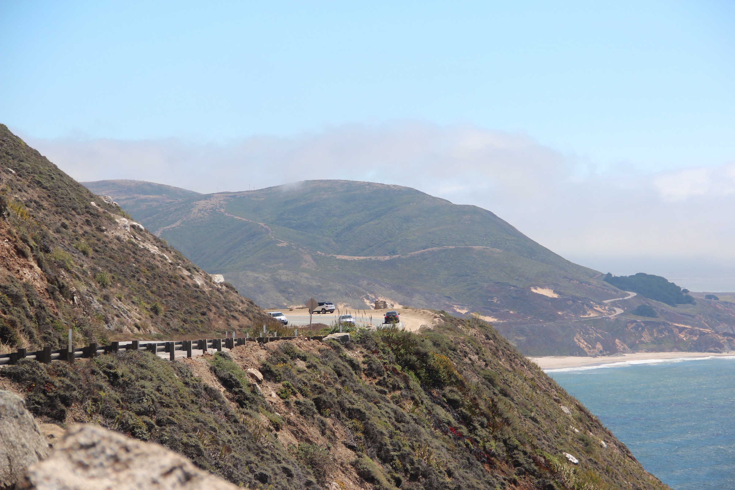
From the Sea Lion Point parking lot, the Cypress Grove Trail heads north-west on a signed 0.8 mi (1.3 km) loop through one of only two remaining natural stands of Monterey cypress (Hesperocyparis macrocarpa) in the world, above Cypress Cove and North Point. The path is a compact-gravel and boardwalk alignment with short stairs and low fencing along cliff edges. Rejoining the parking lot, the Sea Lion Point Trail drops out on the opposite side, a 0.6 mi (1 km) round trip that reaches an exposed rocky point above the sea lion haul-outs and the Devil’s Cauldron blowhole, then returns via a section of the Sand Hill Trail on the accessible loop. Both trails together make a natural short circuit of roughly 2.3 km with minimal elevation change.
Why it is essential
Point Lobos is the northern anchor of the Big Sur coast and, in the phrase widely quoted from landscape painter Francis McComas, “the greatest meeting of land and water in the world”. Cypress Grove and Sea Lion Point together compress the reserve’s signatures — Monterey cypress, wave-cut coves, kelp beds, harbour seals, sea otters, sea lions and offshore migrating grey whales — into a single short circuit that is walkable in any weather and by nearly any party.
Equipment
Standard walking shoes, a wind shell, sun protection, water and binoculars. The paths are close enough to cliff edges that small children should be kept in hand.
Hazards and notes
Cliff edges are exposed and periodically closed after slumping. Dogs, drones and off-trail travel are prohibited across the reserve. Day-use fees apply and the internal parking areas fill early on weekends; MST and Point Lobos Foundation both flag reservations or timed entry at peak times. Do not approach or feed wildlife. The reserve closes at sunset.
GPX / route file
| Source | URL | Format / access | Reuse status |
|---|---|---|---|
| Point Lobos Foundation — Cypress Grove Trail | pointlobos.org | Official trail page and reserve map | No GPX published; trail context |
| Point Lobos Foundation — Sea Lion Point Trail | pointlobos.org | Official trail page and reserve map | No GPX published; trail context |
| AllTrails — Cypress Grove Trail | alltrails.com | Source map / downloadable route via AllTrails account | AllTrails terms apply; source-map reference only |
Further reading
2. Buzzard’s Roost, Pfeiffer Big Sur
Snapshot
Itinerary
From the trailhead the route crosses the Big Sur River footbridge, follows the Valley View / Buzzard’s Roost signage west and quickly enters shaded second-growth coast redwood forest above Pheneger Creek. The climb settles into a steady switchbacked ascent through redwood, tanoak and bay before breaking out onto an open chaparral ridge with Santa Lucia sandstone outcrops. The Buzzard’s Roost summit rocks at roughly 1,030 ft (315 m) sit on a narrow crown with an unbroken view west across Sycamore Canyon to the Pacific and east into the Ventana. The loop closes on the descending arm back to the river. California State Parks describes the route as roughly 3 mi (4.8 km) with about 750 ft (230 m) of climb; AllTrails records 2.9 mi (4.7 km) and 826 ft (252 m). The two match within survey noise.
Why it is essential
Buzzard’s Roost is the classic short summit walk of Big Sur Valley, delivering both the region’s redwood-canyon and chaparral-ridge landscapes on a single loop that stays inside a fee-paid state park with reliable parking, water and toilets. It is the most accessible way to earn a top-down view of the coast and the Ventana peaks in the same afternoon.
Equipment
Trail shoes with grip, sun hat, water (1 L per person), snack, and a light layer for the ridge wind. Trekking poles help on the descent when the redwood duff is wet.
Hazards and notes
Poison oak is common in the lower forest and along the trail edge. Ticks are present year-round and worst in spring. The summit rocks are unfenced; keep well back from cliff edges, particularly with children. Cellular signal is unreliable in the canyon. Dogs are only permitted in the campground and paved areas of the state park, not on this trail. Day-use fee applies at the park entrance.
GPX / route file
| Source | URL | Format / access | Reuse status |
|---|---|---|---|
| California State Parks — Pfeiffer Big Sur Trails | parks.ca.gov | Official park trails page | No GPX published; access and trail context |
| AllTrails — Buzzards Roost Trail | alltrails.com | Source map / downloadable route via AllTrails account | AllTrails terms apply; source-map reference only |
Further reading
- California State Parks — Pfeiffer Big Sur State Park
- Ventana Wilderness Alliance — Big Sur Coastal Trails
3. Ridge–Panorama–Bluffs Loop, Andrew Molera
Snapshot
Itinerary
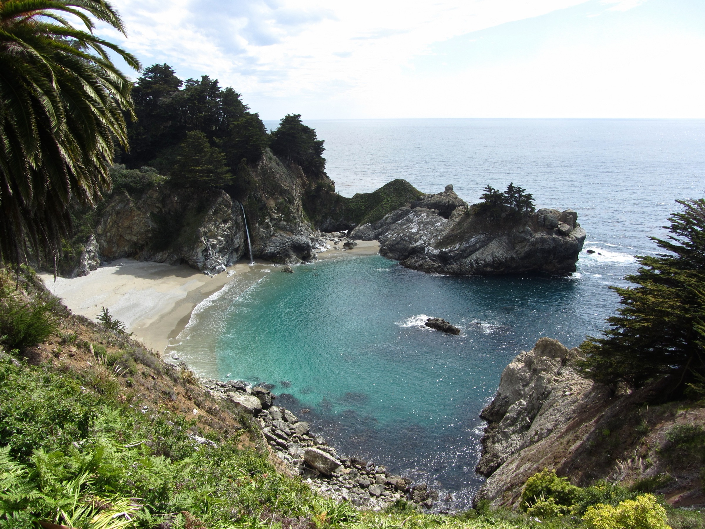
The loop is the classic long day-walk from the Andrew Molera parking lot. In winter and early spring, the Big Sur River footbridge across the river-mouth is often removed, and the crossing has to be waded — check park status before setting out. From the north bank, the Creamery Meadow / River Trail runs west toward the coast, then the Ridge Trail climbs steadily south-east up an open chaparral spine to a high point around 1,050 ft (320 m) with the range’s cleanest single view of Point Sur, the Big Sur Valley and the ocean plain. The Panorama Trail traverses south-west back to the sea, and the Bluffs Trail runs north above the beach terraces to close the loop. AllTrails records 8.8 mi (14.2 km) with 1,100 ft (335 m) of gain.
Why it is essential
Andrew Molera contains the largest undeveloped block of the Big Sur coast north of Julia Pfeiffer Burns and the fullest short traverse of Santa Lucia coastal terrain on public land: river mouth, meadow, redwood canyon, chaparral ridge and open marine bluff on one loop, without needing to commit to a full day on Highway 1 traffic further south.
Equipment
Standard day-hike kit: trail shoes or light boots, sun protection, wind shell, 2 L water (no reliable treated water on route), food, and a paper or offline map. Sandals or wading footwear are useful when the river footbridge is out.
Hazards and notes
The Big Sur River seasonal bridge is often absent from late autumn to spring; the crossing can be knee- to thigh-deep after storms and should not be attempted at flood. The Ridge Trail is completely exposed — start early in summer. Ticks, poison oak and rattlesnakes are present. Mountain lions are documented in the park; do not run and keep small children close. No dogs on trails, no drones. Day-use fee applies.
GPX / route file
| Source | URL | Format / access | Reuse status |
|---|---|---|---|
| California State Parks — Andrew Molera Trails | parks.ca.gov | Official park trails page | No GPX published; access and trail context |
| AllTrails — Ridge Trail, Panorama Trail and Bluff Trail Loop | alltrails.com | Source map / downloadable route via AllTrails account | AllTrails terms apply; source-map reference only |
Further reading
4. Cone Peak from Cone Peak Road
Snapshot
Itinerary
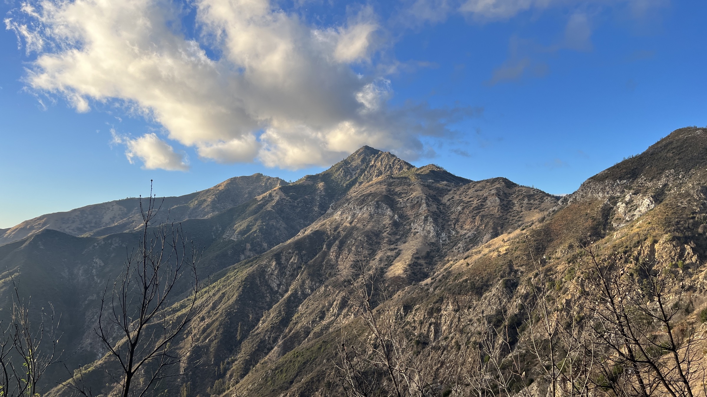
The short summit route starts from a small pullout on Cone Peak Road roughly 3.5 mi (5.6 km) north of the junction with Nacimiento-Fergusson Road, at about 3,800 ft (1,160 m). The trail climbs north through mixed chaparral, oak and Santa Lucia fir — an endemic tree found only in this range — on a stepped, rocky alignment that gains about 1,360 ft (415 m) in roughly 2.5 mi (4 km) to the historic fire lookout on the summit. On a clear morning the view runs from the Pacific at Kirk Creek and Limekiln, up the Big Sur coast to Point Sur, and inland across the Ventana to the San Joaquin Valley haze. Return is by the same trail.
Longer alternatives exist. The “Sea-to-Sky” route from Kirk Creek climbs about 5,150 ft (1,570 m) in 6.5 mi (10 km) via Vicente Flat and is a long, committing all-day mountaineering-grade hike; the Gamboa / Stone Ridge alternative is reported as effectively lost to overgrowth as of 2026. The short summit route from Cone Peak Road remains the standard day-hike.
Why it is essential
Cone Peak is the range high point when measured from ocean floor to summit, the highest peak that rises directly from the Pacific in the contiguous United States, and the only true mountain summit on the Big Sur coast walkable in a normal fit day. It is the natural high objective of the Santa Lucia catalogue.
Equipment
Sturdy trail shoes or light boots, sun protection (the climb is largely without shade), 2.5 L water, food, warm layer for the summit wind, and a downloaded offline map. Cell signal is absent from the trailhead upward. A high-clearance vehicle is essentially required for Cone Peak Road; four-wheel-drive is prudent on the upper section.
Hazards and notes
Cone Peak Road (Central Coast Ridge Road / FS 20S05) is a narrow dirt road with drop-offs, closed by the Forest Service through winter and often not opened until June; verify with the Monterey Ranger District before driving. Post-Dolan Fire deadfall risk persists on and around the trail. Ticks and poison oak are present; rattlesnakes bask on the summer trail. No water on route. Nacimiento-Fergusson Road is itself narrow, twisty and subject to seasonal closure — a full day should be planned around the drive.
GPX / route file
| Source | URL | Format / access | Reuse status |
|---|---|---|---|
| Los Padres NF — Cone Peak Trail (Forest Service) | fs.usda.gov | Official forest site — check current alerts and Monterey RD trail pages | No GPX published; official closure and access context |
| Big Sur Trail Map — Cone Peak (Sea-to-Sky, road route) | bigsurtrailmap.net | Community route pages with maps and current-year notes | Reference and closure notes; direct GPX not retrieved |
| Ventana Wilderness Alliance — Trail Network | ventanawild.org | Trail and closure summaries maintained by VWA | Reference; direct GPX not retrieved |
Further reading
- Los Padres National Forest — Ventana Wilderness
- Ventana Wilderness Alliance
- Big Sur Trail Map — Cone Peak routes
5. Salmon Creek Falls
Snapshot
Itinerary
Salmon Creek Falls sits about 400 m (0.25 mi) up-canyon from the Highway 1 pullout at the extreme south end of the Big Sur coast, at the mouth of Salmon Creek where it drops through a granite chute in two tiers totalling about 120 ft (37 m). The signed trail leaves the pullout, drops briefly, then climbs a rocky path north-east through bay laurel and oak into the canyon and finishes on a bouldered viewing platform below the pool. Continuing beyond the falls, the Salmon Creek Trail runs deep into the Silver Peak Wilderness toward Estrella Camp and the Spruce Creek network — a long day or backpacking option that is only partially maintained after the 2020 Dolan Fire and is not the primary day-hike objective here.
Why it is essential
Salmon Creek Falls is the southern anchor of the Big Sur coast day-hike selection: the last significant waterfall before Ragged Point and San Simeon, and the only one that is currently open with a very short walking approach after McWay Overlook and Limekiln Falls both closed. It bookends the coastal trail catalogue at the Monterey / San Luis Obispo county line.
Equipment
Trail shoes with grip, water, sun protection. Watch footing on wet rock at the falls base.
Hazards and notes
Highway 1 landslide closures south of Gorda have repeatedly cut the drive to this trailhead — most recently the 2021 Rat Creek slip-out and repeated Regent’s Slide closures through 2025, with the road reported open again through Regent’s Slide in early 2026. Confirm current Caltrans status before travel. Post-Dolan Fire debris and deadfall increase after storms; do not enter the pool at high flow. The upper Salmon Creek Trail beyond the falls is subject to unmarked washouts and is not recommended without current wilderness-alliance conditions reports.
GPX / route file
| Source | URL | Format / access | Reuse status |
|---|---|---|---|
| Los Padres NF — Salmon Creek Trail | fs.usda.gov | Official Forest Service trail page | No GPX published; access and closure context |
| Ventana Wilderness Alliance — Salmon Creek Trail | ventanawild.org | Trail information page | Reference; direct GPX not retrieved |
| AllTrails — Salmon Creek Falls Trail | alltrails.com | Source map / downloadable route via AllTrails account | AllTrails terms apply; source-map reference only |
Further reading
- Los Padres National Forest — Salmon Creek Trail
- Ventana Wilderness Alliance — Silver Peak Wilderness trails
Further reading
| Source | URL |
|---|---|
| Los Padres National Forest | fs.usda.gov |
| Los Padres NF — Ventana Wilderness | fs.usda.gov |
| California State Parks — Pfeiffer Big Sur | parks.ca.gov |
| California State Parks — Julia Pfeiffer Burns | parks.ca.gov |
| California State Parks — Andrew Molera | parks.ca.gov |
| California State Parks — Limekiln | parks.ca.gov |
| Point Lobos Foundation | pointlobos.org |
| Ventana Wilderness Alliance | ventanawild.org |
| Big Sur Trail Map (community project) | bigsurtrailmap.net |
| Caltrans — Highway 1 status | dot.ca.gov |
| Wikimedia Commons — Big Sur | commons.wikimedia.org |
| Wikipedia — Santa Lucia Range | en.wikipedia.org |