Regional overview
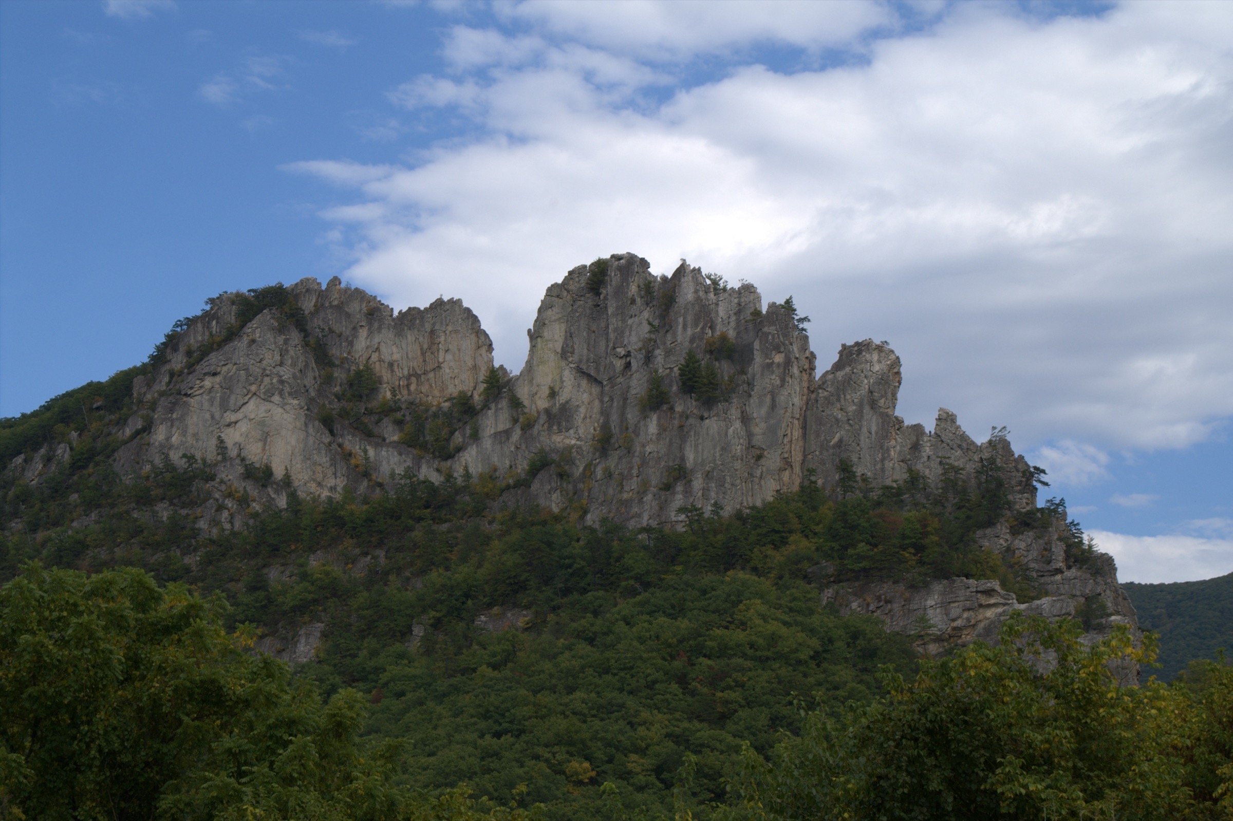
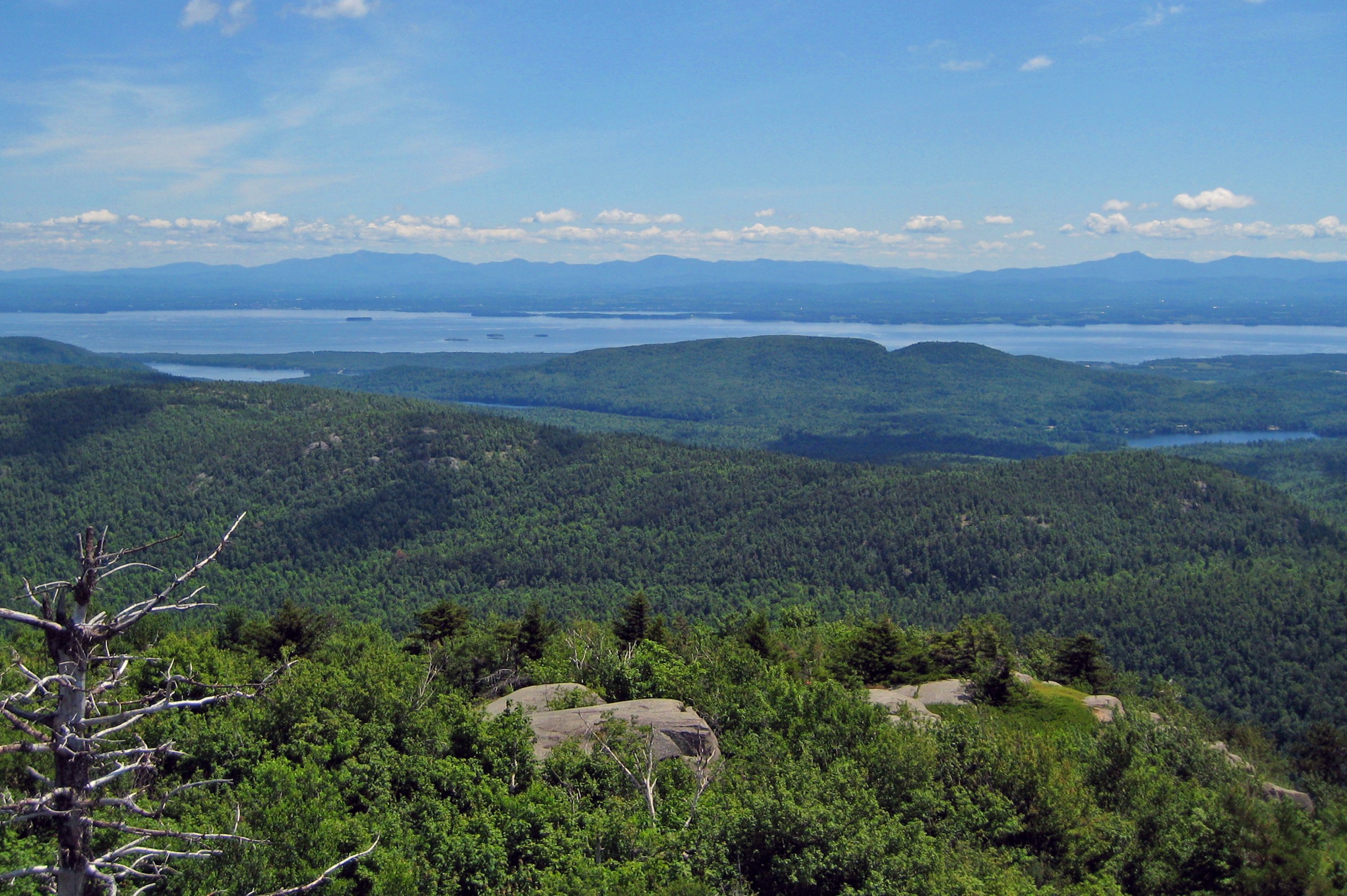
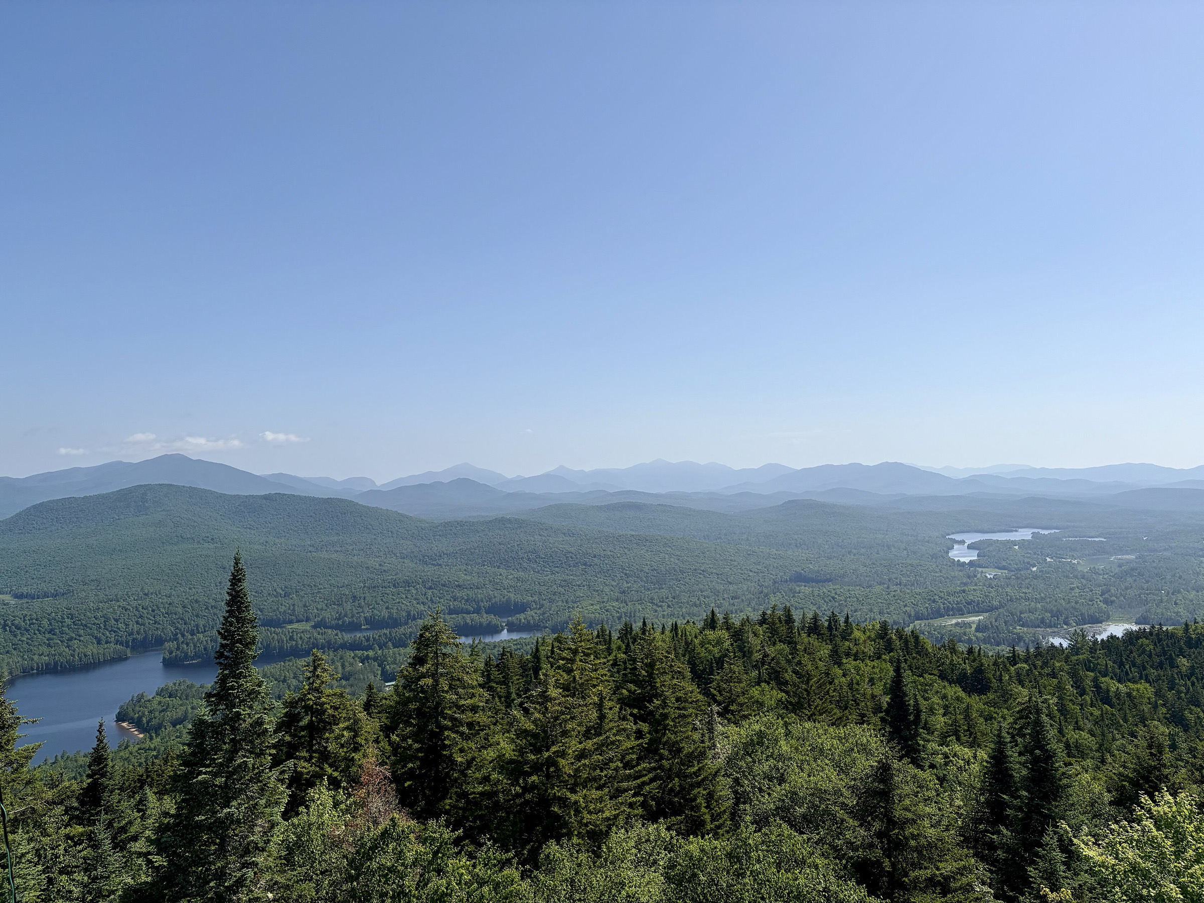
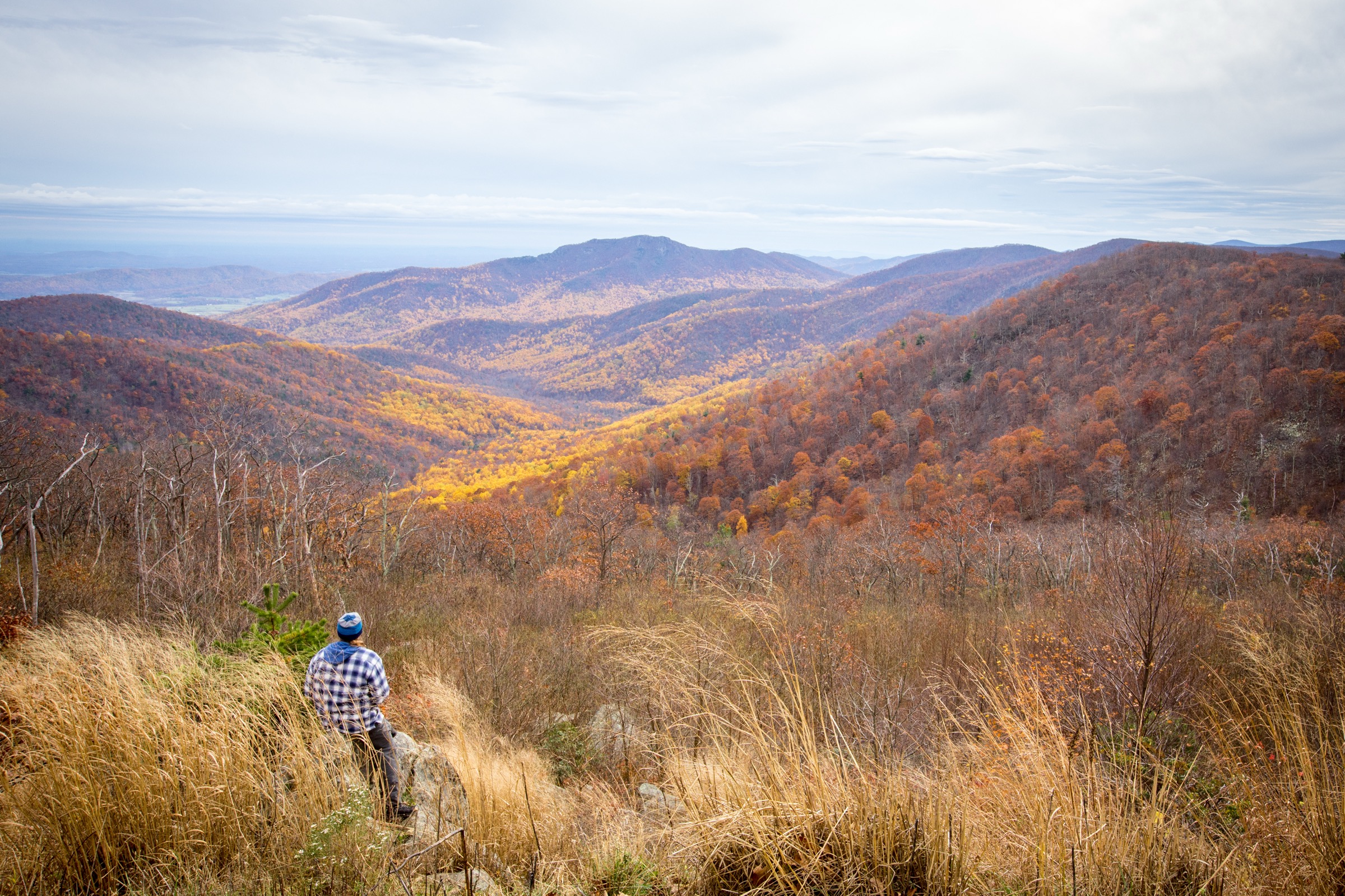
The Shenandoah and northern Blue Ridge region is centred on Shenandoah National Park, Skyline Drive, the Appalachian Trail and the northern Blue Ridge Parkway. The hiking character is defined by ridge-crest trailheads, forested switchbacks, rocky summits, waterfall drainages and short but steep climbs to open Blue Ridge viewpoints.
Most essential hikes are non-technical in settled conditions, but several are physically serious. Old Rag includes a hands-on rock scramble and a managed day-use ticket system. Cedar Run–Whiteoak is a long waterfall circuit with stream crossings and a large climb back to Skyline Drive. Winter and shoulder seasons can bring ice, snow, closed roads and slippery waterfall sections, while summer adds heat, thunderstorms, ticks and crowded parking.
Access is mainly by private vehicle through Shenandoah National Park entrance stations, Skyline Drive, Old Rag boundary parking and the Blue Ridge Parkway. Official GPX/KML files were not found for the five routes in this pass; official NPS route pages and agency maps are listed where available.
Selection rationale
Five hikes cover the region’s essential day-hike range: the iconic Old Rag rock-scramble circuit, a major Shenandoah waterfall circuit (Cedar Run–Whiteoak), the park’s highest summit (Hawksbill), a northern-district Appalachian Trail viewpoint (Marys Rock), and a short but classic Blue Ridge Parkway summit climb (Humpback Rocks). Route statistics are converted from the official NPS route pages. Maximum-elevation figures are unresolved on several official pages and are flagged in the snapshots below.
Summary
| # | Hike | Trailhead | Route type | Distance | Gain | Max elevation | Difficulty |
|---|---|---|---|---|---|---|---|
| 1 | Old Rag Circuit | Old Rag access area (overflow parking in 2026) | Circuit | 15.1 km | 716 m | Unresolved | Very strenuous |
| 2 | Cedar Run–Whiteoak Circuit | Hawksbill Gap, Skyline Drive MP 45.6 | Circuit | 13.0 km | 852 m | Unresolved | Very strenuous |
| 3 | Hawksbill Loop | Hawksbill Gap, Skyline Drive MP 45.5 | Circuit | 4.7 km | 262 m | Shenandoah high point (exact route max unresolved) | Moderate |
| 4 | Marys Rock Summit | Panorama parking, Skyline Drive MP 31.6 | Out-and-back | 6.0 km | 369 m | Unresolved | Moderate |
| 5 | Humpback Rocks Trail | Humpback Gap parking, Blue Ridge Parkway MP 6 | Out-and-back (with longer variants) | 3.2 km | c. 213 m | Unresolved | Strenuous |
1. Old Rag Circuit
Snapshot
Itinerary
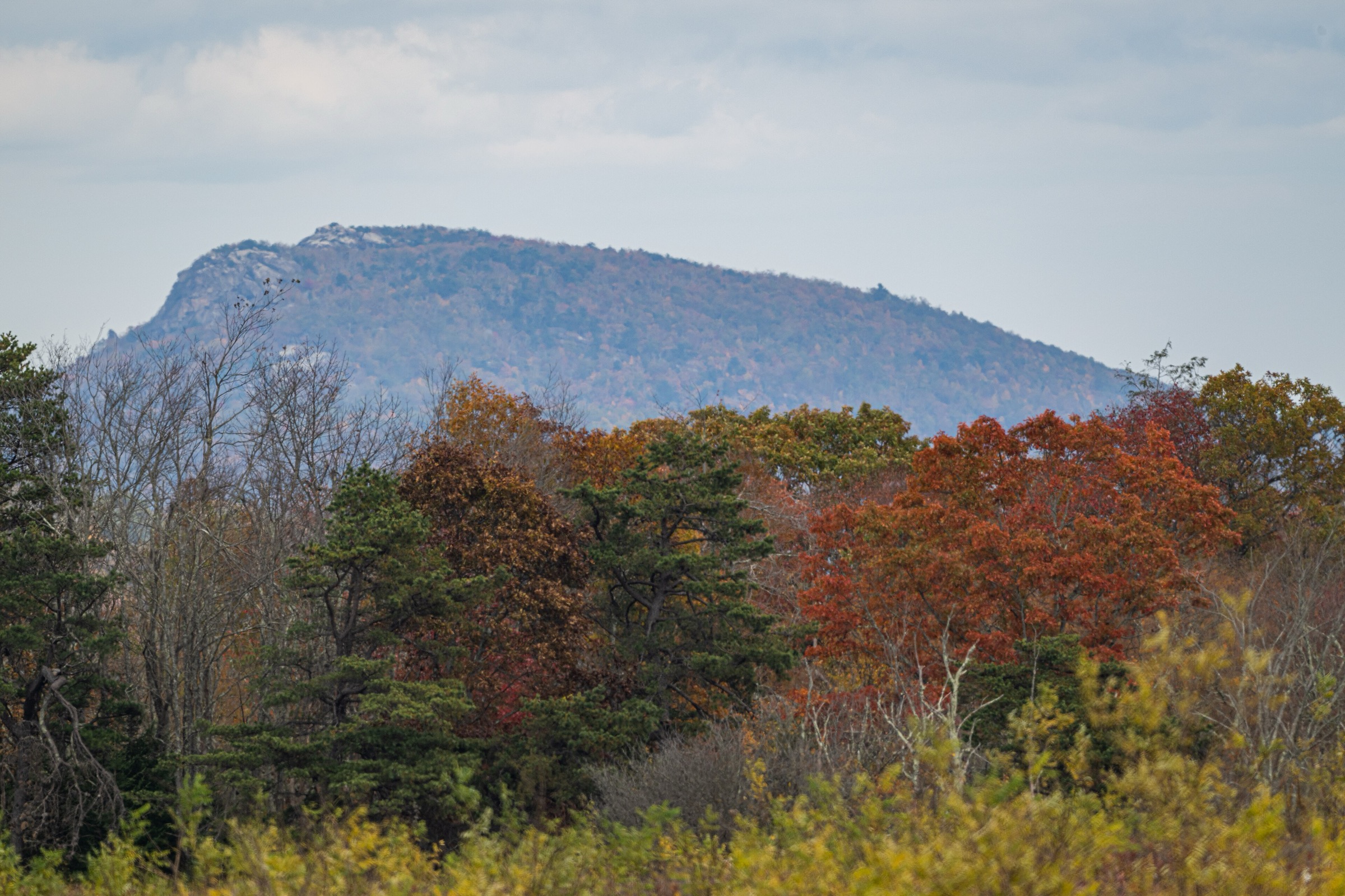
The circuit starts from the Old Rag access area near the park boundary. During the 2026 main trailhead parking closure, the route uses the posted overflow parking arrangement. The blue-blazed Ridge Trail climbs toward Old Rag and enters the well-known rock scramble before reaching the summit area. The descent follows Saddle Trail, continuing past Old Rag Shelter to the fire road and Weakley Hollow Fire Road. Ridge Access Trail and Ridge Trail complete the return.
Why it is essential
Old Rag is Shenandoah’s most famous strenuous day-hike — a long approach, a demanding rock scramble, a broad summit and a managed access system that reflects its popularity and impact.
Equipment
- Sturdy hiking shoes or boots with good grip
- 2.5–3 L water and food
- Weatherproof and warm layers
- Sun protection
- Headtorch and small first-aid kit
- Gloves for the rock scramble
- Microspikes in winter — but ice can make the scramble unsuitable
Hazards and notes
- Day-use ticket required 1 March – 30 November in addition to the park entrance pass.
- Effective 4 May 2026, the main Old Rag Trailhead parking lot is closed until November 2026; overflow lots are in use.
- The rock scramble requires hands, balance and comfort with confined passages and exposed rock.
- Pets are not allowed on Ridge Trail, Saddle Trail, Ridge Access Trail, or the section between Post Office Junction and Old Rag Shelter.
- Heat, thunderstorms, ice, crowds and late starts all raise seriousness.
2. Cedar Run–Whiteoak Circuit
Snapshot
Itinerary
The circuit descends Cedar Run Trail into the drainage, passing cascades and stream crossings before reaching the lower part of the drainage. It then turns left onto Whiteoak Canyon Trail, climbing past the waterfall sequence. After the sixth waterfall on the ascent, the official route joins the Whiteoak Canyon Fire Road / Horse Trail and returns to Hawksbill Gap.
Why it is essential
Cedar Run–Whiteoak links two major drainages, multiple cascades, several stream crossings and a large climb back to Skyline Drive — one of Shenandoah’s strongest single-day waterfall hikes.
Equipment
- Sturdy footwear with wet-rock traction
- 2.5–3 L water and food
- Rain shell and warm layer
- Sun protection
- Trekking poles for stream crossings and the long climb
- Headtorch
- Microspikes in icy conditions
Hazards and notes
- Several stream crossings can become hazardous after heavy rain or snowmelt.
- Rocks near cascades and waterfalls are slippery; signed trails and closures must be followed.
- The route descends first — most of the climbing is saved for the return.
- Winter ice can make waterfall and canyon sections dangerous.
- Pets allowed with restrictions; leashes no longer than 1.8 m.
3. Hawksbill Loop
Snapshot
Itinerary
The loop starts at Hawksbill Gap and climbs toward Shenandoah’s highest peak. At the junction with Upper Hawksbill Trail it turns left toward the summit area, where a short spur past the shelter reaches the viewing platform. The loop then descends back to the parking area.
Why it is essential
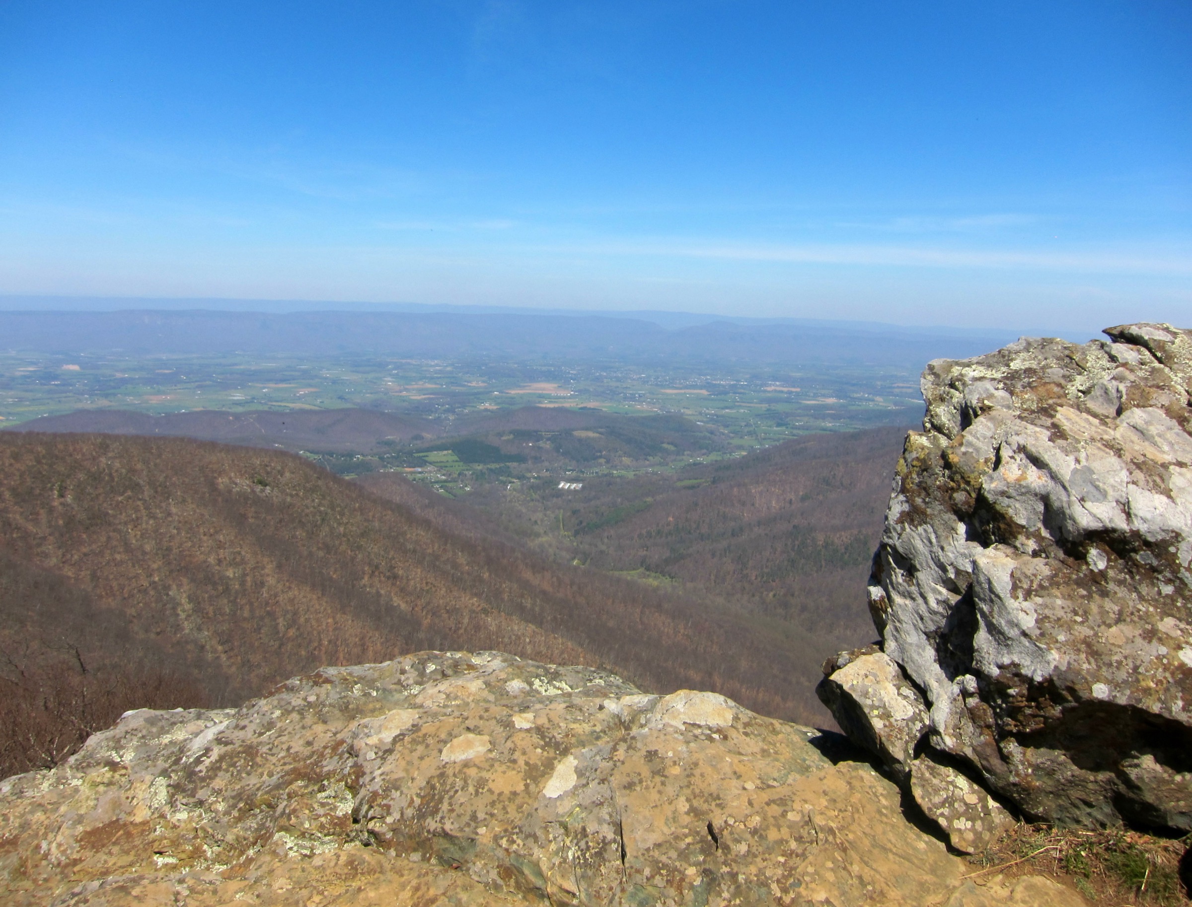
Hawksbill is the highest summit in Shenandoah National Park and one of the most efficient ways to gain a broad Blue Ridge viewpoint from Skyline Drive, with wide views toward the Shenandoah Valley, Blue Ridge and Virginia Piedmont.
Equipment
- Hiking shoes or boots
- 1.5–2 L water
- Weather and warm summit layers
- Sun protection
- Map or offline route
- Microspikes if the trail is icy
Hazards and notes
- Summit weather can be windy and colder than the trailhead.
- Rocks, roots and ice can make footing uneven.
- Parking at Hawksbill Gap fills during peak foliage and weekend periods.
- Pets allowed with restrictions; leashes no longer than 1.8 m.
4. Marys Rock Summit
Snapshot
Itinerary
The route starts at the back of Panorama parking area and follows a short connector trail to the Appalachian Trail. Turning left / south, the AT climbs toward Marys Rock; at the signed trailpost a right turn leads to the viewpoint. Return by the same route.
Why it is essential
Marys Rock is one of Shenandoah’s classic northern-district viewpoints — a direct Skyline Drive access, an Appalachian Trail approach and wide views over the Shenandoah Valley and Massanutten Mountain.
Equipment
- Hiking shoes or boots
- 2 L water and food
- Weather layer and warm layer in cool conditions
- Sun protection
- Map or offline route
- Microspikes in winter
Hazards and notes
- The viewpoint has exposed rock and drop-offs.
- Ice and packed snow can linger on shaded trail sections in winter.
- The Panorama area is popular and may fill in peak periods.
- Pets allowed with restrictions; leashes no longer than 1.8 m.
5. Humpback Rocks Trail
Snapshot
Itinerary
The route starts at the south end of Humpback Gap and follows the blue-blazed Humpback Rocks Trail. After about 0.8 km a spur to the left reaches Humpback Rocks. The classic short hike returns the same way; longer variants continue toward Humpback Mountain or the picnic area, and some segments coincide with the Appalachian Trail and may be marked with white blazes.
Why it is essential
Humpback Rocks is one of the northern Blue Ridge Parkway’s classic short, steep climbs — linking the Humpback Rocks visitor area and mountain-farm context with a rugged ascent to views over the Rockfish and Shenandoah valleys.
Equipment
- Supportive hiking shoes
- 1.5–2 L water
- Weather layer
- Sun protection
- Map or offline route
- Extra food and a headtorch for longer variants
- Microspikes in winter ice
Hazards and notes
- About 213 m of gain in roughly 1.6 km — strenuous for the short distance.
- Rocky sections and the overlook require care in wet or icy conditions.
- Blue blazes mark the Humpback Rocks Trail; white blazes may appear where the route coincides with the Appalachian Trail.
- Longer options require more time and a clear return or shuttle plan.
- Confirm current Blue Ridge Parkway pet regulations before travel.
Further reading
| Source | URL |
|---|---|
| NPS Shenandoah — Old Rag Circuit | nps.gov |
| NPS Shenandoah — Old Rag hikes, tickets and parking | nps.gov |
| NPS Shenandoah — Old Rag road and trail map (PDF) | nps.gov |
| NPS Shenandoah — Cedar Run–Whiteoak Circuit | nps.gov |
| NPS Shenandoah — Whiteoak Canyon road and trail map (PDF) | nps.gov |
| NPS Shenandoah — Hawksbill Loop | nps.gov |
| NPS Shenandoah — Hawksbill road and trail map (PDF) | nps.gov |
| NPS Shenandoah — Marys Rock Summit | nps.gov |
| NPS Shenandoah — Thornton Gap road and trail map (PDF) | nps.gov |
| NPS Blue Ridge Parkway — Humpback Rocks Trails | nps.gov |
| Wikimedia Commons — Category: Shenandoah National Park | commons.wikimedia.org |
| OpenStreetMap (ODbL 1.0) | openstreetmap.org |