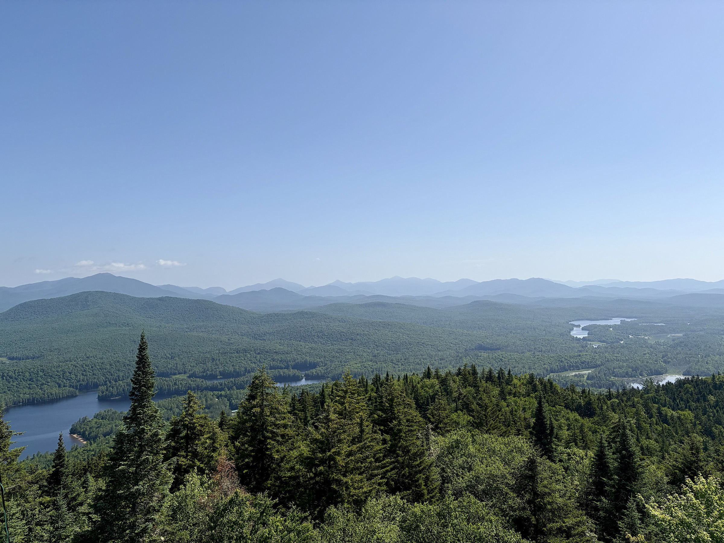
Regional overview
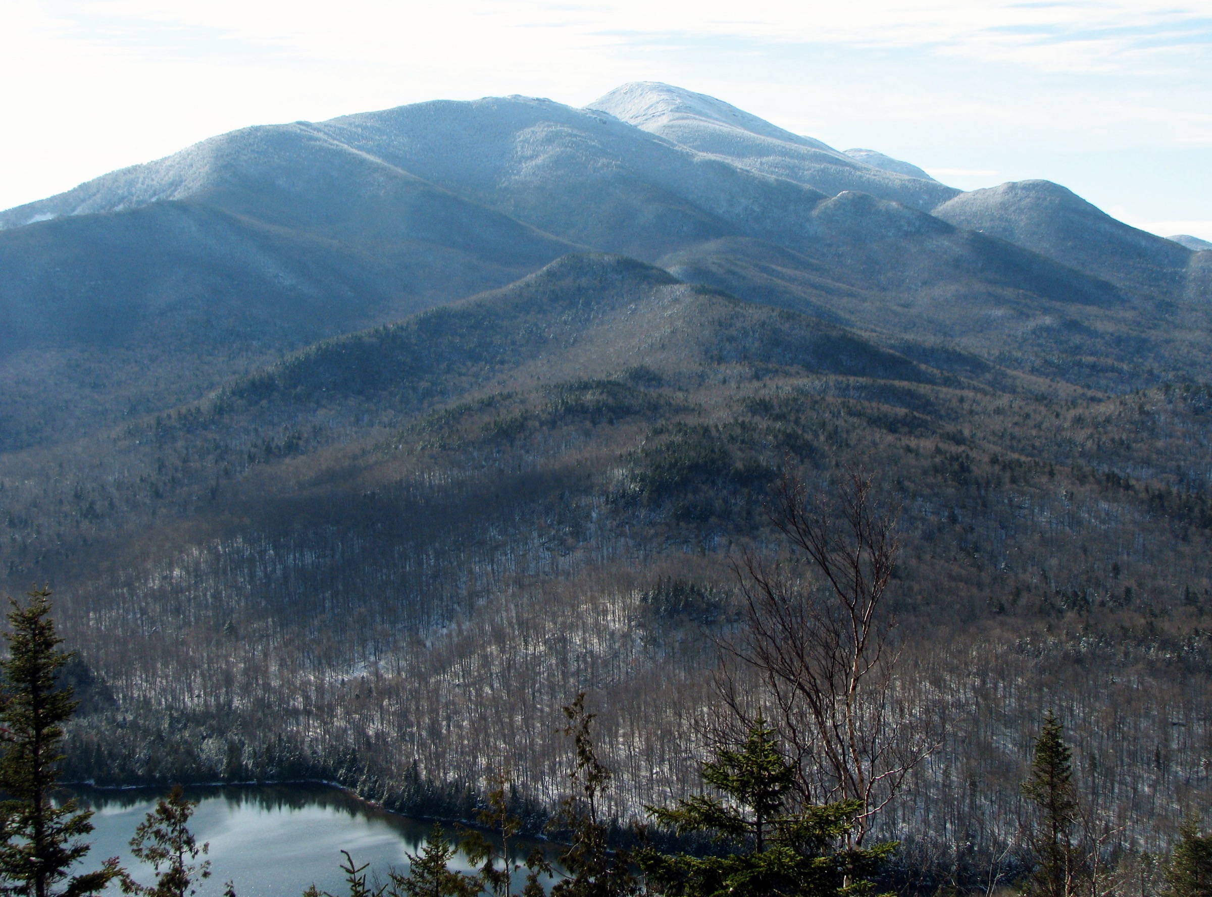
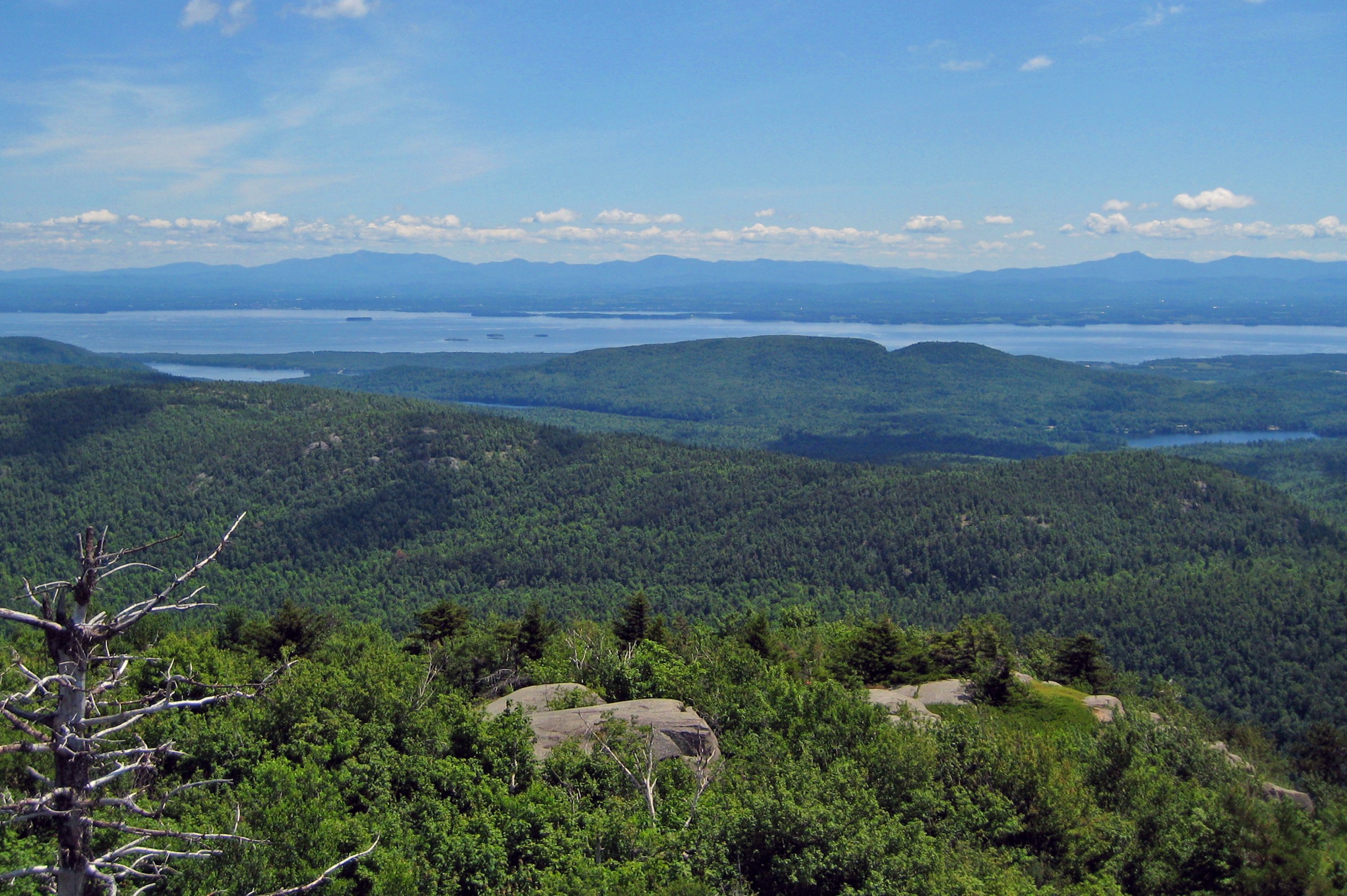
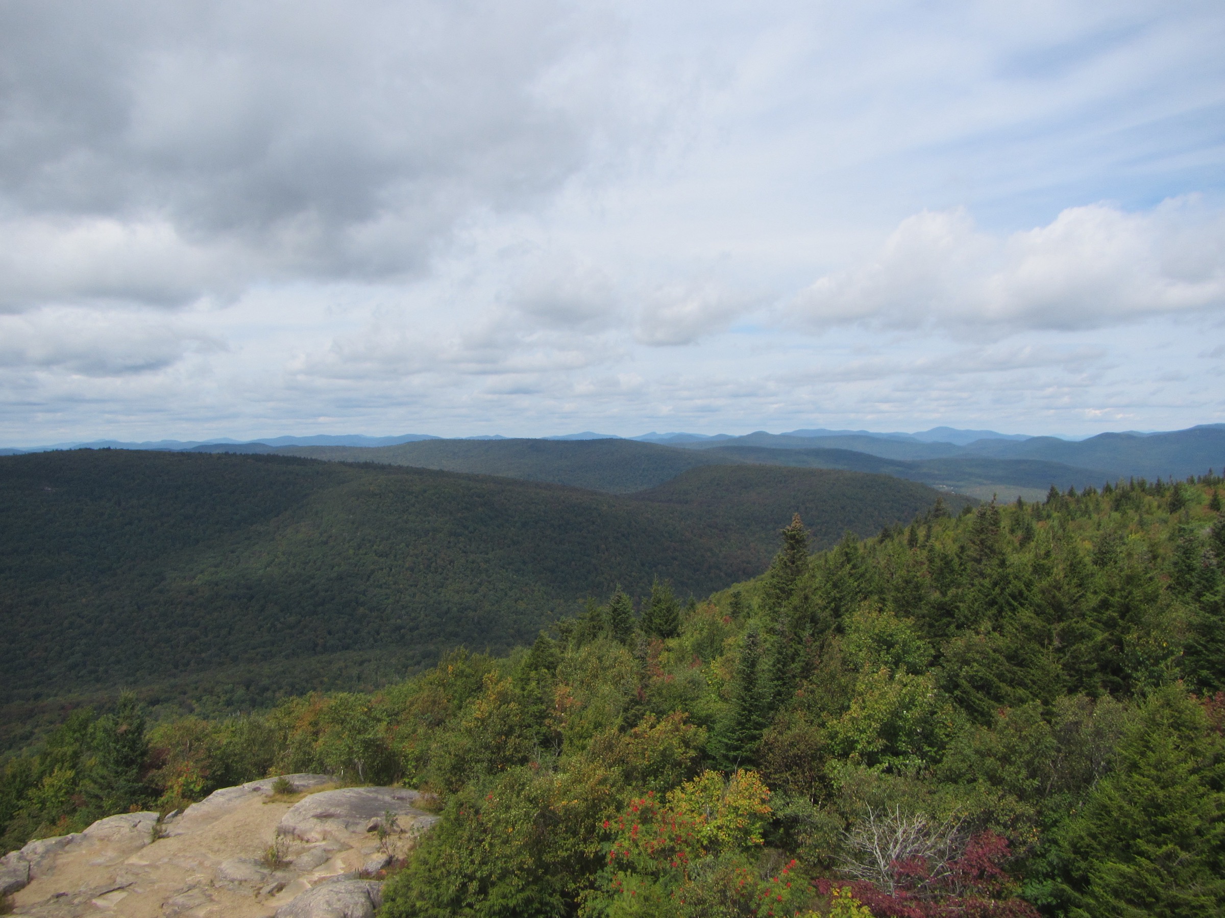
The Adirondack High Peaks are the mountainous core of the six-million-acre Adirondack Park in northern New York, a cluster of forty-six summits historically listed as over 4,000 ft (1,219 m) that together form the largest true wilderness in the north-eastern United States. The centrepiece is the High Peaks Wilderness Complex — about 275,000 acres of New York State Forest Preserve managed by the Department of Environmental Conservation (DEC) — flanked by the Giant Mountain Wilderness to the east, the Sentinel Range Wilderness to the north around Whiteface, and the Dix Mountain Wilderness to the south. The high point is Mount Marcy at 1,629 m (5,344 ft); nineteen of the peaks carry small fragments of true arctic-alpine tundra above ~1,310 m (4,300 ft), and roughly a dozen more break out of the krummholz into open rock above treeline.
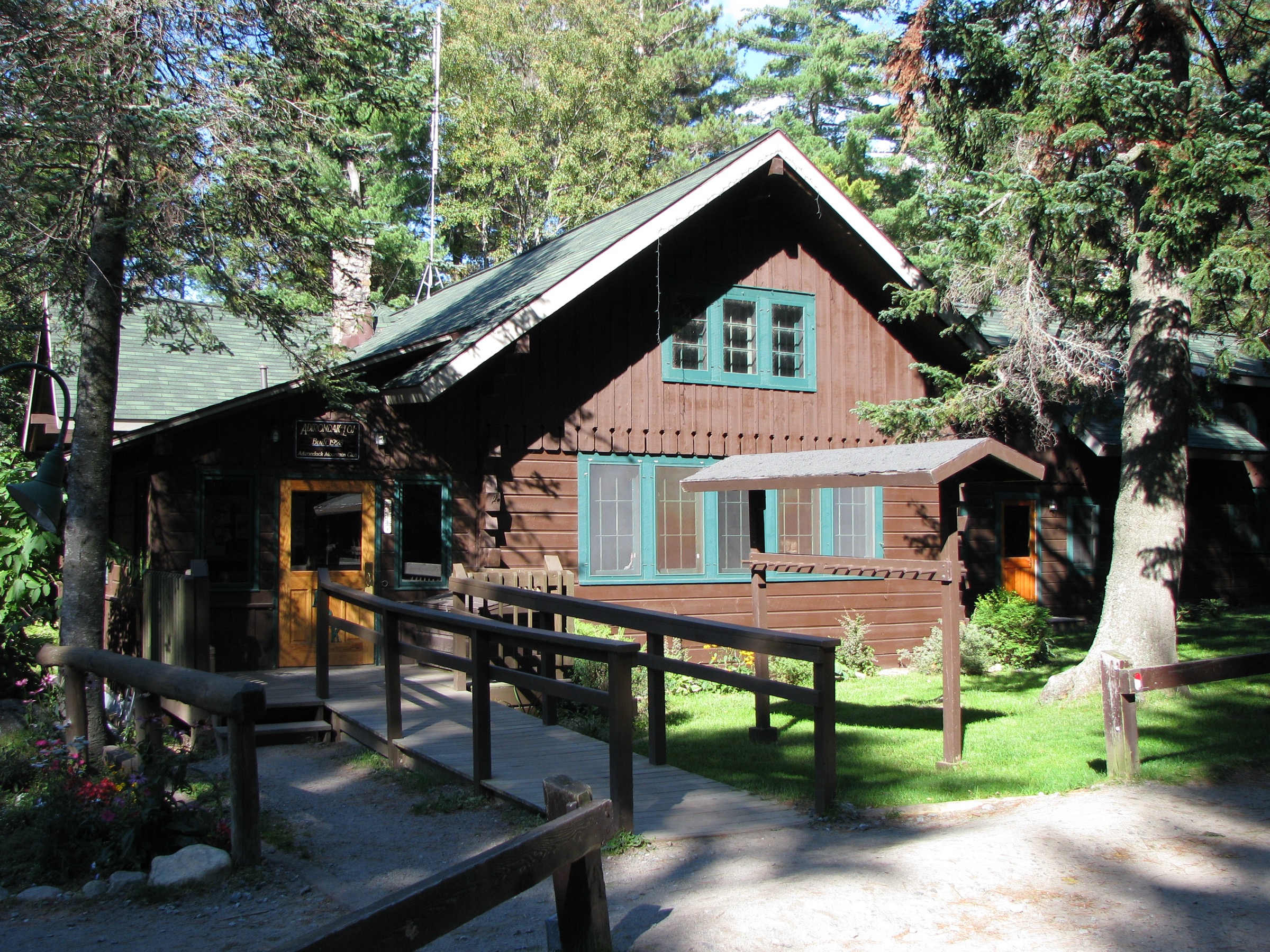
The main hiking centres are Lake Placid to the north, the Adirondak Loj / Heart Lake Program Center at the end of Adirondak Loj Road, Keene and Keene Valley on Route 73, St. Huberts at the entrance to the Adirondack Mountain Reserve, Newcomb on the southern gateway, and Wilmington on the Whiteface side. The Adirondack Mountain Club (ADK) runs the Loj and its parking lot at the trailhead for Marcy, Algonquin, Wright, Mount Jo and the Van Hoevenberg approach; the Adirondack Trail Improvement Society (ATIS) maintains the Great Range trails on the Keene Valley side. Route 73 between Keene Valley and Lake Placid is the region’s spine — every High Peaks trailhead except Newcomb’s Goodnow and Wilmington’s Marble Mountain is either directly on that road or reached from it.
The practical dry-hike season runs from mid-June, once the mud and snowmelt clear the higher trails, through mid-October when foliage peaks and the first heavy frosts arrive. Summit alpine zones can hold ice into June and receive fresh snow from October onward; the highest peaks are effectively in a winter mountaineering regime from mid-November through April, with rime, verglas and gale winds routine on Marcy, Algonquin and Wright. DEC treats above-treeline travel in that window as a serious alpine environment: snowshoes are mandatory in the Eastern High Peaks Wilderness when off-trail snow depth exceeds ~20 cm, and full winter kit — traction, warm layers, navigation, headtorch — is required for any winter summit attempt.
Access rules are unusually structured for a US mountain region. All hikers must sign in and out at the trailhead registers — free, no permit, but a legally important record for search and rescue. The Adirondack Mountain Reserve (AMR) parking reservation at St. Huberts is mandatory from 1 May to 31 October (returning 17 April in the 2026 season): free, up to 14 days in advance, book at hikeamr.org — this applies to the Ausable Club / Lake Road trailhead only, not to Marcy from the Loj, Algonquin, Cascade, Giant from Chapel Pond or Whiteface via Connery Pond. Bear-resistant canisters are required for overnight users in the Eastern High Peaks Wilderness from 1 April to 30 November; day walkers are exempt but should never leave food unattended. DEC’s April 2026 High Peaks Visitor Use Management report proposes a 240 hikers/day cap on Cascade and a limit near 400 hikers/day at the Adirondak Loj / South Meadows complex, with implementation targeted for 2027 — the 2026 season is planning and outreach only.
Hazards are serious for a US eastern range. Weather can turn on any summit in any month; thunderstorms build quickly on hot afternoons with almost no warning at valley level. Alpine plant communities on Marcy, Algonquin, Wright and the Great Range are fragile — stay on rock and marked cairns above treeline. Trails are famously rooty, eroded and slick, and Adirondack “slab” — bare rock washed clean by centuries of use — becomes dangerous when wet. Cell coverage is essentially absent above the villages. Public transport is negligible: a seasonal Trailhead Shuttle has run in past summers between Marcy Field in Keene and Route 73 pull-offs, but 2026 operating status should be checked with DEC or ADK closer to season.
Selection rationale
The five walks below span the four defining experiences of the High Peaks. Mount Marcy via the Van Hoevenberg Trail is the classic ascent of the state high point on the region’s most-walked trail. Algonquin Peak with the Wright Peak spur puts a fit party on two 4,000-footers in one alpine outing from the same trailhead. Cascade Mountain (with Porter) is the shortest of the 46ers, historically the introductory High Peak and the object of DEC’s current management debate. Giant Mountain by the Zander Scott / Ridge Trail from Chapel Pond delivers the essential Great Range panorama on a route that avoids the AMR reservation system. Whiteface via Connery Pond is the walking approach to the region’s most architecturally unusual summit — the 1935 Whiteface Veterans’ Memorial Highway, the summit Castle, and the ASRC weather observatory. Wright Peak is included as a natural add-on to Algonquin rather than a sixth stand-alone hike; Goodnow Mountain and Cascade’s future Mount Van Hoevenberg approach are noted in the follow-up section.
Summary table
| # | Hike | Country | Route type | Distance | Gain | Max elevation | Difficulty |
|---|---|---|---|---|---|---|---|
| 1 | Mount Marcy via Van Hoevenberg Trail | USA | Out-and-back | ~14.8 mi (~23.8 km) | ~965 m | 1,629 m | Very strenuous |
| 2 | Algonquin Peak with Wright Peak spur | USA | Out-and-back | ~14.2 km (~8.8 mi) | ~970 m | 1,559 m | Strenuous |
| 3 | Cascade and Porter Mountains | USA | Out-and-back | ~10.0 km (~6.2 mi) | ~650 m | 1,249 m | Moderate |
| 4 | Giant Mountain via the Ridge Trail | USA | Out-and-back | ~10.3 km (~6.4 mi) | ~930 m | 1,410 m | Strenuous |
| 5 | Whiteface via Connery Pond | USA | Out-and-back | ~21.1 km (~13.1 mi) | ~985 m | 1,483 m | Very strenuous |
1. Mount Marcy via Van Hoevenberg Trail
Snapshot
Itinerary
The Van Hoevenberg Trail (blue disks) leaves the Adirondak Loj High Peaks Information Center at Heart Lake and climbs gently through mixed hardwoods to the Marcy Dam junction at 3.4 km (2.1 mi) — a former reservoir dam now dismantled, with a small pond and a large open flat that serves as the trail’s traditional gathering point. Beyond Marcy Dam the route joins the Phelps Trail junction and climbs steadily to Indian Falls at roughly 8 km, where the first genuine view of the MacIntyre Range opens west. From Indian Falls the trail rises past the Plateau / Hopkins Trail junction and enters the krummholz belt; the treeline gives way to open rock on the summit cone at about 12 km. The final push is a sustained walk across bare anorthosite marked by cairns and yellow paint blazes — hikers must stay on rock or bare snow to protect the fragile alpine plant community. The summit is a broad rounded dome with a 360-degree panorama across Skylight, Haystack, the Great Range, the MacIntyres and Algonquin, and — on clear days — Whiteface to the north and the Green Mountains of Vermont east of Lake Champlain. Return by the same route.
Why it is essential
Mount Marcy is the highest point in New York State and the emblematic summit of the Adirondacks. Its Iroquois name — Tahawus, “cloud-splitter” — captures both its status and the frequency with which its summit is capped in weather. The Van Hoevenberg Trail is the classic direct approach and the standard route for the 46ers challenge, offering a full day of Adirondack terrain from northern hardwood forest through krummholz to genuine alpine tundra.
Equipment
- Sturdy hiking boots with grip on wet slab
- Weatherproof shell — the summit cone is fully exposed to wind and storm
- Warm insulating layer for the summit even in July
- 3 L water minimum; treat any stream water
- Sun protection — the summit is fully open
- Trekking poles for the descent
- Map, compass and downloaded DEC High Peaks map
- Headtorch for a late finish — 10-hour days are common
- Microspikes November to May; full winter kit and snowshoes for mid-winter attempts
Hazards and notes
- Alpine exposure above ~1,300 m; storms build quickly on hot summer afternoons and lightning risk is real on the summit cone
- Rime, verglas and fresh snow are possible any month above treeline
- Stay on marked rock or bare snow above treeline — alpine plants take decades to recover from trampling
- Bear canisters required for overnight users 1 April to 30 November in the Eastern High Peaks; day walkers must not leave food unattended
- Adirondak Loj parking fills by 06:00 on peak summer weekends; ADK fee approximately US$25/day non-member, US$10 member (verify current 2026 rate on adk.org)
- Cell coverage is patchy at the Loj and absent on the trail
- Trailhead register must be signed in and out
GPX / KML links
| Source | URL | Format | Notes |
|---|---|---|---|
| NY State DEC — High Peaks Wilderness Complex | dec.ny.gov | Official page | No official GPX published; regional map PDF available |
| Waymarked Trails — High Peaks routes | hiking.waymarkedtrails.org | OSM route relations | Van Hoevenberg segment mapped in OSM; GPX exportable via the relation |
| AllTrails — Mount Marcy via Van Hoevenberg | alltrails.com | Third-party track | Do not redistribute AllTrails GPX without licence confirmation |
Sources
- NY State DEC — High Peaks Wilderness Complex
- Adirondack Mountain Club — Hiker Parking at Heart Lake
- Lake Placid Regional Office — Mount Marcy
2. Algonquin Peak with Wright Peak spur
Snapshot
Itinerary
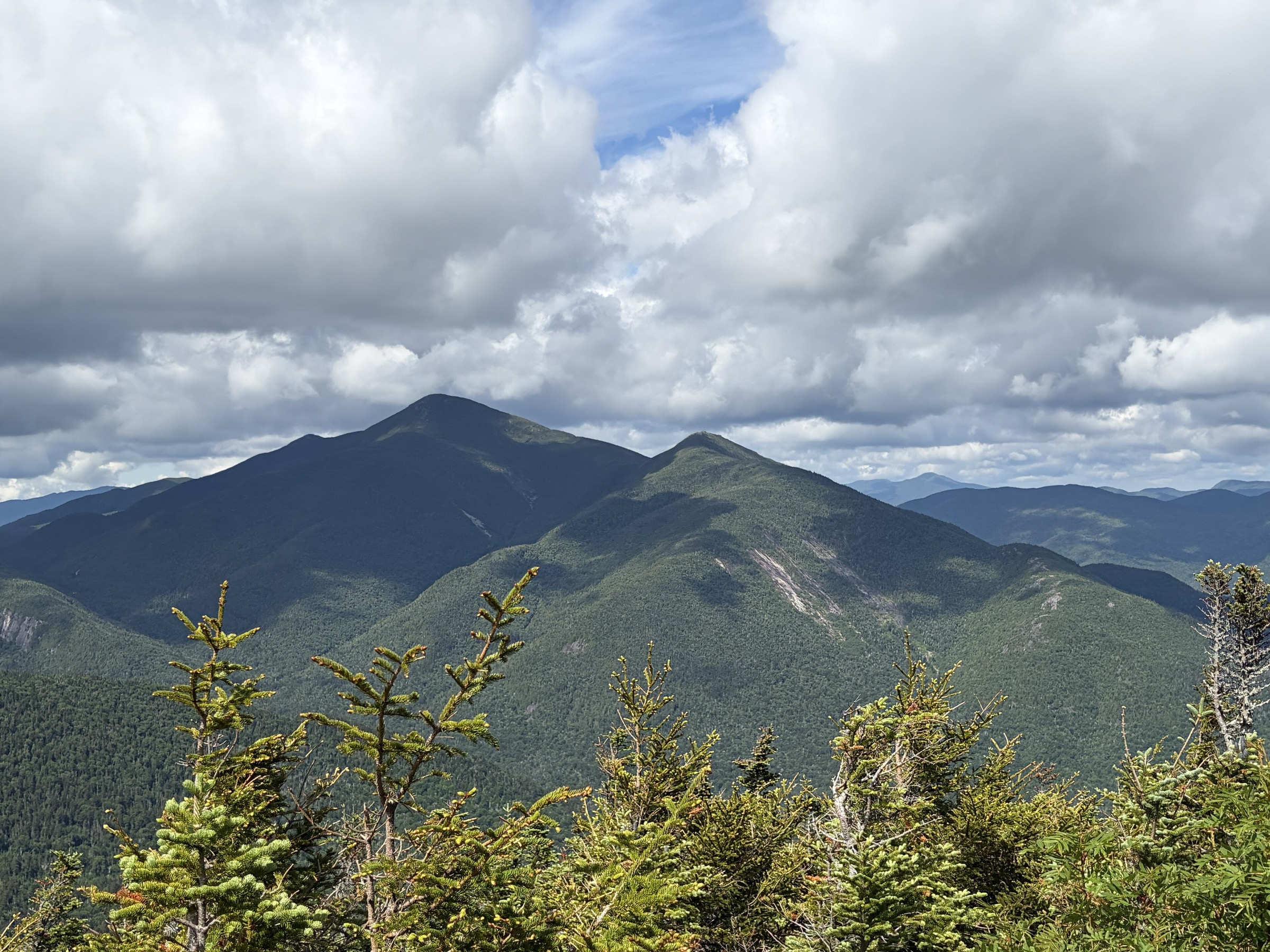
From the Adirondak Loj trailhead the Van Hoevenberg Trail (blue) heads south for 1.6 km to the Algonquin trail junction; from there the MacIntyre Range Trail (yellow) climbs south-west and steadily steeper past MacIntyre Falls, a stepped cascade at about 3 km. Near the top of the falls a signed spur breaks right for the Wright Peak summit — a 0.7 km detour with about 75 m of climb ending on the open rock cap of Wright at 1,396 m. Returning to the main trail, the route resumes the climb through krummholz and emerges above treeline for the final open rock scramble to Algonquin’s summit dome. The 360-degree view is one of the finest in the range: Marcy, Avalanche and Colden filling the eastern skyline; Iroquois and the Marshall–Iroquois ridge close south-west; the entire Great Range from Basin around to Haystack; and Whiteface far to the north. Return by the same route.
Why it is essential
Algonquin is the second-highest summit in the Adirondacks and the archetype of a High Peaks alpine day — open rock, wide sky, and the region’s most complete east-looking panorama. Adding Wright Peak makes it a two-summit outing from the same trailhead, and Wright’s WWII bomber crash site (still marked with fragments) adds a specific piece of local history to the walk.
Equipment
- Sturdy hiking boots
- Weatherproof shell — both summits are fully exposed
- Warm layer for the exposed tops even mid-summer
- 3 L water; treat stream water
- Sun and wind protection — the alpine sun is intense
- Trekking poles for the descent
- Map, compass and downloaded DEC map
- Headtorch for a late finish
- Microspikes November to May; snowshoes for mid-winter
Hazards and notes
- Wright’s summit is one of the windiest points in the range; gusts routinely exceed 60 km/h even in summer
- Fragile alpine tundra on both summits — stay on rock and follow the paint blazes
- Rime and verglas can persist into June; expect wet rock most of the year
- Bear canisters required for overnight users 1 April to 30 November in the Eastern High Peaks
- Adirondak Loj parking fills early on peak weekends; ADK fee applies
- Cell coverage is absent above the Loj
GPX / KML links
| Source | URL | Format | Notes |
|---|---|---|---|
| NY State DEC — High Peaks Wilderness Complex | dec.ny.gov | Official page | No official GPX published |
| Waymarked Trails — High Peaks routes | hiking.waymarkedtrails.org | OSM route relations | MacIntyre Range Trail segments mapped in OSM |
| AllTrails — Algonquin Peak and Wright Peak | alltrails.com | Third-party track | Do not redistribute AllTrails GPX without licence confirmation |
Sources
- NY State DEC — High Peaks Wilderness Complex
- Adirondack Mountain Club
- Pure Adirondacks — Algonquin Peak
3. Cascade and Porter Mountains
Snapshot
Itinerary
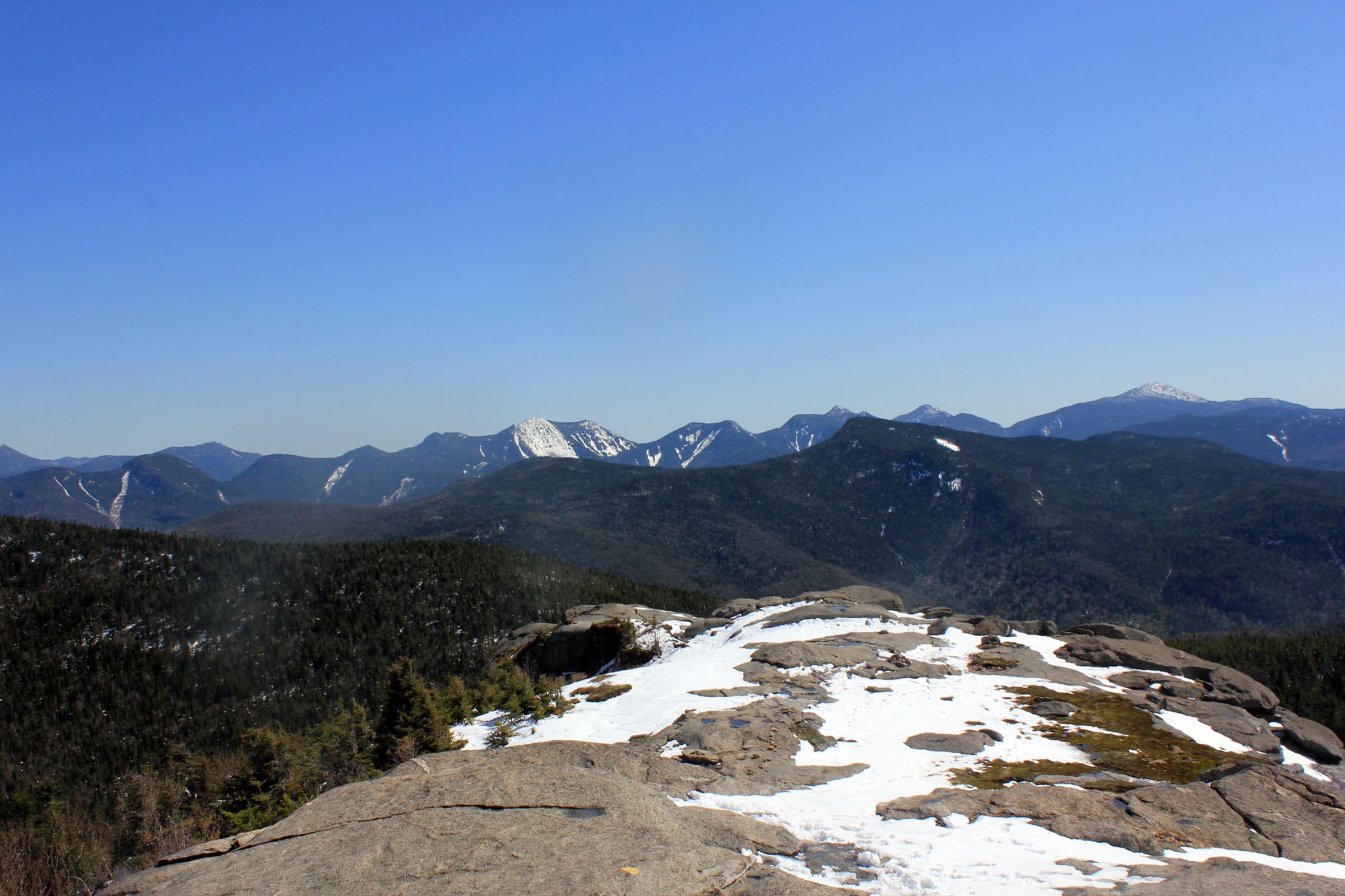
From the Route 73 lot the historic Cascade Trail climbs steadily through mixed hardwood forest on switchbacks stabilised by DEC and volunteer trail crews, then breaks onto a series of open rock ledges with growing views south to the Great Range. At about 3.1 km the trail reaches the Cascade / Porter col junction: a right turn leads to Porter Mountain (1.1 km one way with an added 60 m of climb), a left turn opens onto the final 0.5 km scramble up bare rock to the open Cascade summit dome. The panorama takes in Whiteface north, the Sentinel Range west, the MacIntyre Range and Marcy south-west, and the Great Range south. Returning to the col and traversing to Porter delivers a quieter, wooded summit with a different view sector east to Giant. Return by the same route.
A new sustainable trail is being built from the Mount Van Hoevenberg Sports Complex south of the traditional trailhead; as of mid-2025 approximately 1.5 km of the new alignment remained under construction, with completion targeted for the 2026 season. The switchover, when it happens, will move the standard approach to a longer (~18 km round-trip) route from the MVH lot, ease the Route 73 parking pressure, and formalise the DEC visitor-use programme for the peak. Verify the current status of both trailheads on the Hike ADK trail-status page before travelling.
Why it is essential
Cascade is the shortest of the 46 High Peaks and — with Porter — the most-walked introductory Adirondack summit. It also sits at the centre of the region’s most active management debate: DEC’s April 2026 Visitor Use Management report proposes a 240 hikers/day cap for the peak once the new MVH alignment is complete, targeted for 2027 implementation. The open rock summit gives a full panorama of the entire High Peaks skyline in a route accessible to any fit walker.
Equipment
- Standard hiking boots or shoes with grip
- Weatherproof shell
- Warm layer for the exposed summit
- 2 L water
- Sun protection
- Trekking poles helpful on the descent
- Map, compass and downloaded DEC map
- Microspikes for early summer / late autumn residual ice
Hazards and notes
- Slick rock on the summit dome when wet or icy — the most common cause of Cascade incidents
- Parking overflow on Route 73 fills the road shoulders on peak weekends — do not park illegally on the highway
- Bear canisters required for overnight users in the Eastern High Peaks 1 April to 30 November
- Alpine plants at the summit are heavily impacted from foot traffic — stay on rock
- Cell coverage patchy on the summit, absent on the trail
- Verify the current trailhead status (historic Route 73 vs. new MVH) with DEC and Hike ADK before travelling in the 2026 season
GPX / KML links
| Source | URL | Format | Notes |
|---|---|---|---|
| Hike ADK — Cascade Trail Status | hikeadk.com | Official trail-status page | Confirm current active trailhead before travelling |
| NY State DEC — High Peaks Wilderness Complex | dec.ny.gov | Official page | No official GPX published |
| AllTrails — Cascade and Porter | alltrails.com | Third-party track | Do not redistribute AllTrails GPX without licence confirmation |
Sources
- NY State DEC — High Peaks Wilderness Complex
- Adirondack Explorer — DEC to relocate Cascade / Porter / Pitchoff trailheads
- Lake Placid Regional Office — Cascade Mountain
4. Giant Mountain via the Ridge Trail
Snapshot
Itinerary
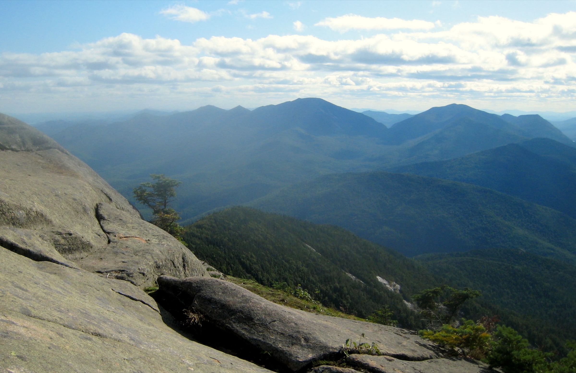
The Zander Scott / Ridge Trail leaves NY-73 at the small pull-off directly north of Chapel Pond and climbs rapidly into open hardwoods on a stone-stepped tread built by ATIS trail crews. At about 1.3 km the trail passes the small tarn known as Giant’s Washbowl, contours briefly, then begins the sustained climb of the south-west ridge on a broken sequence of exposed anorthosite slabs and rock ledges. The Ridge Trail is famously scenic for its low altitude — nearly every 100 m of climb opens a wider view south to the Great Range, west across Chapel Pond Pass to Round Pond and Noonmark, and back to the Dix Range south-east. The final wooded pitch leads to a small summit clearing with a broad outlook rock facing east across the Champlain Valley to Vermont and north to Whiteface. Return by the same route; the Roaring Brook Trail from a separate trailhead a mile north — passing Roaring Brook Falls at 0.8 km — offers an alternative descent for parties with a shuttle.
Why it is essential
Giant Mountain is the highest peak of the Giant Mountain Wilderness and one of the most scenic climbs of the entire High Peaks region — the Ridge Trail’s continuous sequence of open slabs delivers panoramas for most of the ascent, not just at the summit. Its trailhead is on DEC Forest Preserve land, not the Adirondack Mountain Reserve, so no reservation is required. Giant is the classic answer to the question of which High Peak to climb when the Ridge Trail is dry, the AMR system is closed, and a strong party wants a big mountain day from a roadside pull-off.
Equipment
- Sturdy hiking boots with strong grip for slab
- Weatherproof shell
- Warm layer for the summit
- 3 L water — no reliable source on the ridge
- Sun protection — the slabs are fully exposed
- Trekking poles for the descent
- Map, compass and downloaded DEC map
- Microspikes into early June for shaded slab ice
Hazards and notes
- Wet slab is the dominant hazard on the Ridge Trail — descend particularly carefully after rain
- Thunderstorm risk on the exposed ridge is real on hot summer afternoons; turn back at the col if lightning threatens
- No water on the ridge; carry all you need
- Bear canisters required for overnight users 1 April to 30 November
- Parking is a small pull-off on a fast section of NY-73; do not block the highway
- Cell coverage is absent above Chapel Pond
GPX / KML links
| Source | URL | Format | Notes |
|---|---|---|---|
| NY State DEC — Giant Mountain Wilderness | dec.ny.gov | Official page | No official GPX published; wilderness map PDF available |
| Waymarked Trails — Ridge Trail | hiking.waymarkedtrails.org | OSM route relations | Ridge Trail mapped in OSM |
| AllTrails — Giant Mountain via Ridge Trail | alltrails.com | Third-party track | Do not redistribute AllTrails GPX without licence confirmation |
Sources
- NY State DEC — Giant Mountain Wilderness
- Lake Placid Regional Office — Giant Mountain
- Pure Adirondacks — Giant Mountain
5. Whiteface Mountain via Connery Pond
Snapshot
Itinerary
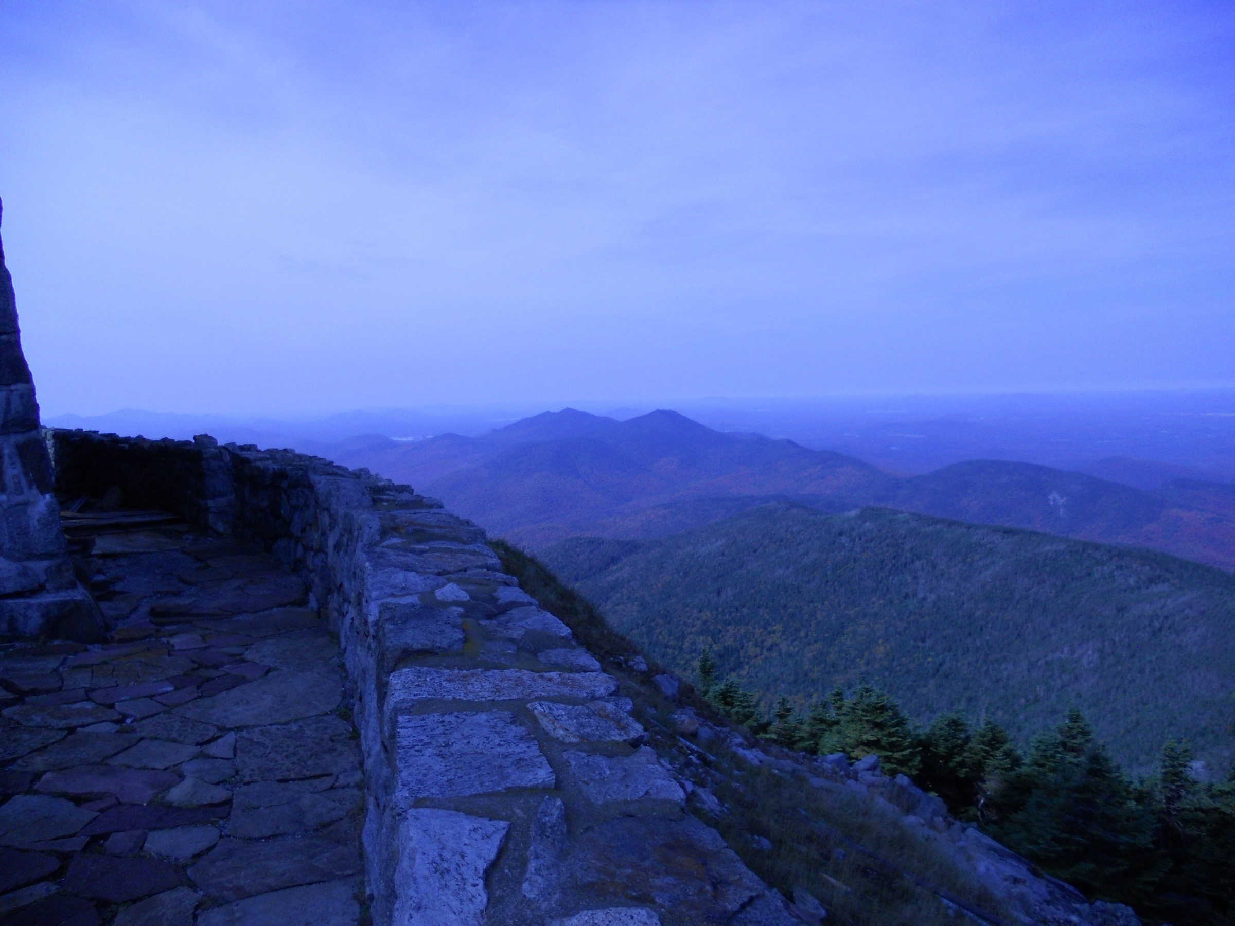
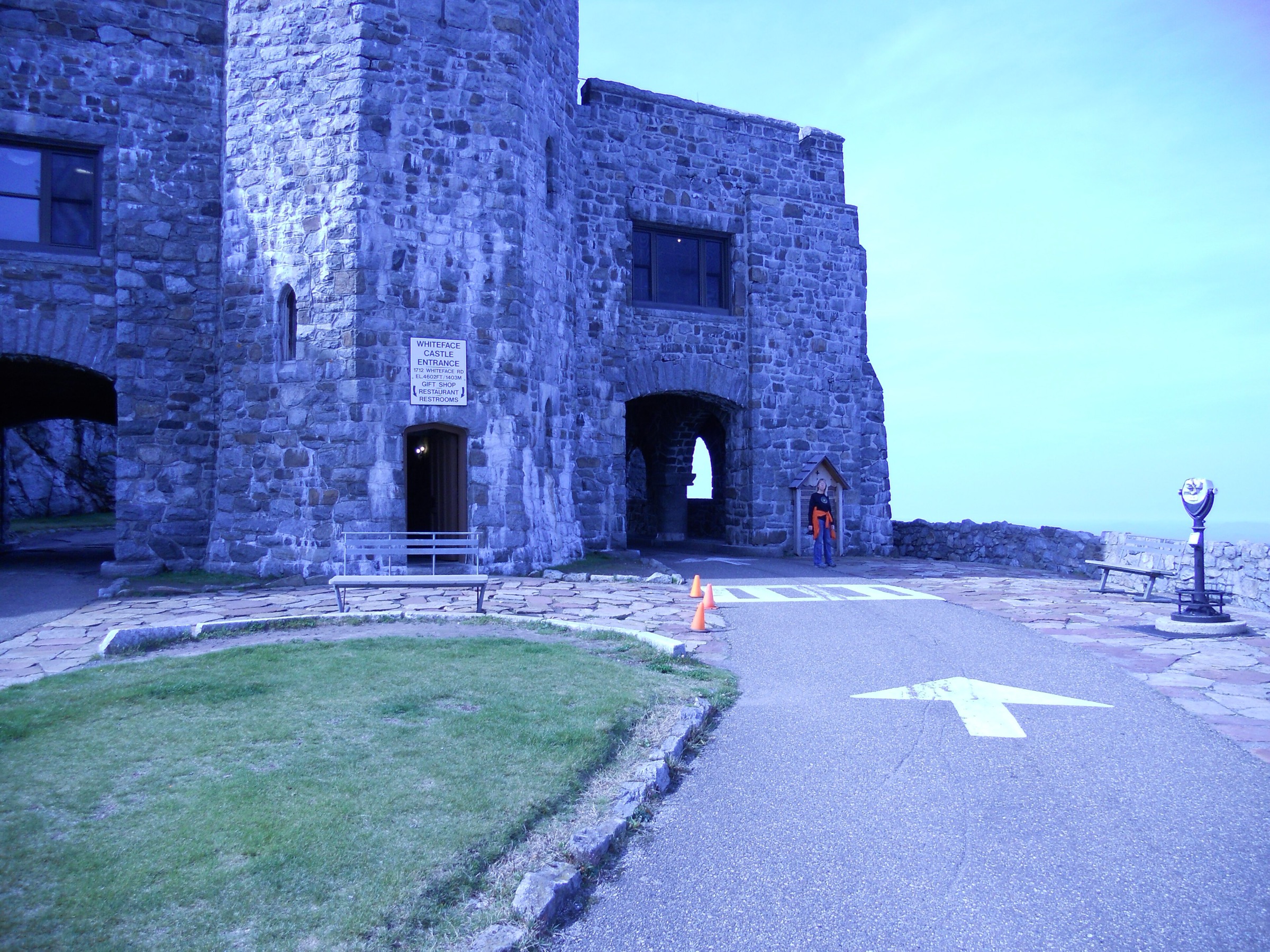
The Connery Pond Trail leaves the small NY-86 parking area and follows an old woods road east, then north, past Connery Pond and along the west shore of the north end of Lake Placid to Whiteface Landing on the lake’s north cove — a distance of about 4.0 km on gentle terrain. At the T-junction, bear left onto the Whiteface Landing Trail (the right branch continues to Whiteface Bay). The trail passes a lean-to at about 1 km and then begins the sustained climb of the north-east ridge through spruce–fir forest, breaking onto krummholz and eventually onto bare rock as it merges with the summit road / Stairway Ridge area. The final open scramble reaches the summit crown alongside the Whiteface Castle and Summit House, the ASRC observatory and the terminus of the Veterans’ Memorial Highway. On a clear day the view runs south along the entire High Peaks skyline to Marcy, east across Lake Champlain to the Green Mountains, and north to Montreal. Return by the same route.
Why it is essential
Whiteface is the fifth-highest peak in New York State, the only High Peak reachable by road, and the region’s most architecturally unusual summit. The 1935 Veterans’ Memorial Highway climbs to just below the summit; from the road-head a tunnel and elevator carve into the mountain to a stone Summit House, and a stepped stone stairway leads the last few metres to the true top. Hikers arriving on foot share the summit with the driving visitors in season, and the ASRC weather station has run continuous atmospheric measurements from the summit since 1957 — the longest such record in the Adirondacks.
Equipment
- Sturdy hiking boots
- Weatherproof shell — the summit is fully alpine
- Warm insulating layer and hat even in July
- 3 L water — no reliable source on the ridge
- Sun and wind protection
- Trekking poles for the descent
- Map, compass and downloaded DEC map
- Headtorch for a late finish
- Microspikes for shoulder seasons
Hazards and notes
- Long day; plan for the round-trip time and start early
- Above-treeline exposure at the summit; storms and gale winds are routine year-round
- Marker density on the upper ridge decreases near the summit road — do not descend the road by mistake
- The Whiteface Veterans’ Memorial Highway is usually open late May to mid-October — hikers should not use it as a descent route without pre-arranged transport
- Bear canisters required for overnight users 1 April to 30 November
- Hunting season (October–December) on the lower approach — wear high-visibility colours
GPX / KML links
| Source | URL | Format | Notes |
|---|---|---|---|
| NY State DEC — Sentinel Range Wilderness | dec.ny.gov | Official page | No official GPX published |
| Whiteface Region — Connery Pond Trail | whitefaceregion.com | Official tourism page | Trail description and access notes |
| AllTrails — Whiteface via Connery Pond | alltrails.com | Third-party track | Do not redistribute AllTrails GPX without licence confirmation |
Sources
- NY State DEC — High Peaks Wilderness Complex
- Lake Placid Regional Office — Whiteface Mountain hike
- ASRC — Whiteface Field Station
Missing data / follow-up work
- marcy.jpg summit photo — the pre-downloaded winter portrait image in the article assets could not be matched with confidence to a specific Wikimedia Commons source; no figure has been embedded for the Marcy hike section. If a licence-verified summit image can be sourced (or the current file can be traced to a specific Commons title), a figure should be added.
- regional-goodnow.jpg — a byte-identical duplicate of the cover image is present in the assets and is not embedded a second time in the body; a purpose-specific regional overview image could be sourced separately.
- Trailhead Shuttle 2026 operating status — the seasonal shuttle from Marcy Field to Route 73 trailheads has historically served Cascade and Chapel Pond; 2026 operating status is not yet confirmed and should be verified before travel with DEC or ADK.
- Cascade Mount Van Hoevenberg trail switchover — the new sustainable trail from the MVH Sports Complex was under construction as of mid-2025 with completion targeted for the 2026 season. Confirm the current active trailhead on the Hike ADK trail-status page before travel.
- DEC High Peaks Visitor Use Management report (April 2026) — proposed daily caps for Cascade (240) and Adirondak Loj / South Meadows (~400) are recommendations only, with 2027 implementation targeted; nothing binding in 2026 yet.
- AMR Hiker Permit season 2026 — the reservation system returned on 17 April 2026 and runs 1 May to 31 October; the AMR system does not affect any of the five trailheads above, but note it for parties adding Nippletop, Colvin, Blake, Sawteeth or the Great Range from that side.
- Adirondack Loj parking fee 2026 — verify current daily and member rates on the ADK site before travel.
- Whiteface Marble Mountain alternative — a shorter approach (~17 km, typically combined with Esther Mountain) from the old Marble Mountain ski area above Wilmington; access road conditions and parking capacity should be verified with DEC each season.
Further reading
| Source | URL |
|---|---|
| NY State DEC — High Peaks Wilderness Complex | dec.ny.gov |
| NY State DEC — Giant Mountain Wilderness | dec.ny.gov |
| NY State DEC — Sentinel Range Wilderness | dec.ny.gov |
| NY State DEC — Adirondack Backcountry | dec.ny.gov |
| Adirondack Mountain Club (ADK) | adk.org |
| ADK — Hiker Parking at Heart Lake | adk.org |
| Adirondack Trail Improvement Society (ATIS) | atis.org |
| AMR Hiker Permit — hikeamr.org | hikeamr.org |
| Adirondack Explorer | adirondackexplorer.org |
| Lake Placid Regional Office of Sustainable Tourism | lakeplacid.com |
| Whiteface Region tourism office | whitefaceregion.com |
| ASRC — Whiteface Field Station | whiteface.asrc.albany.edu |
| Hike ADK — Cascade trail status | hikeadk.com |