Regional overview
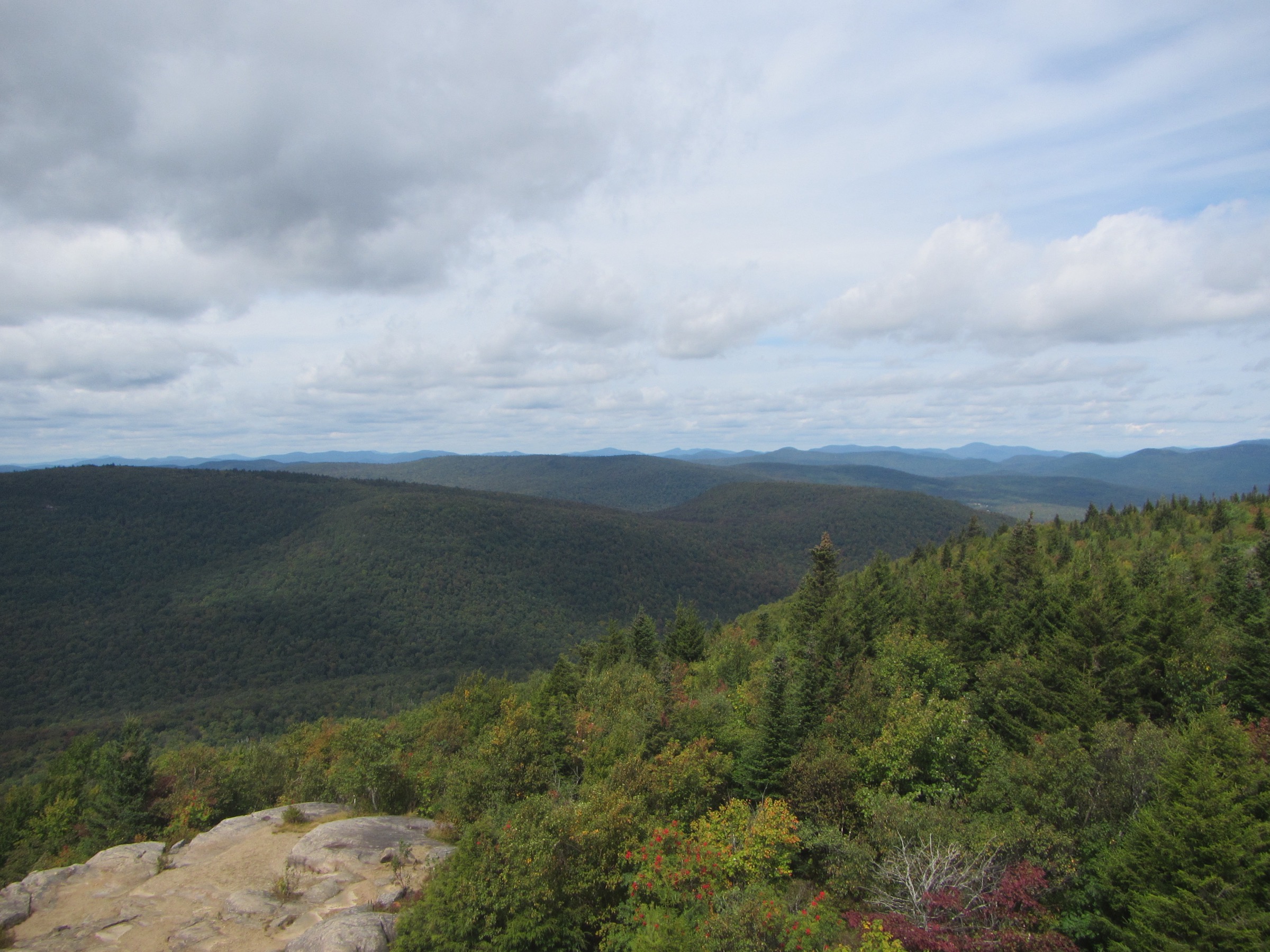
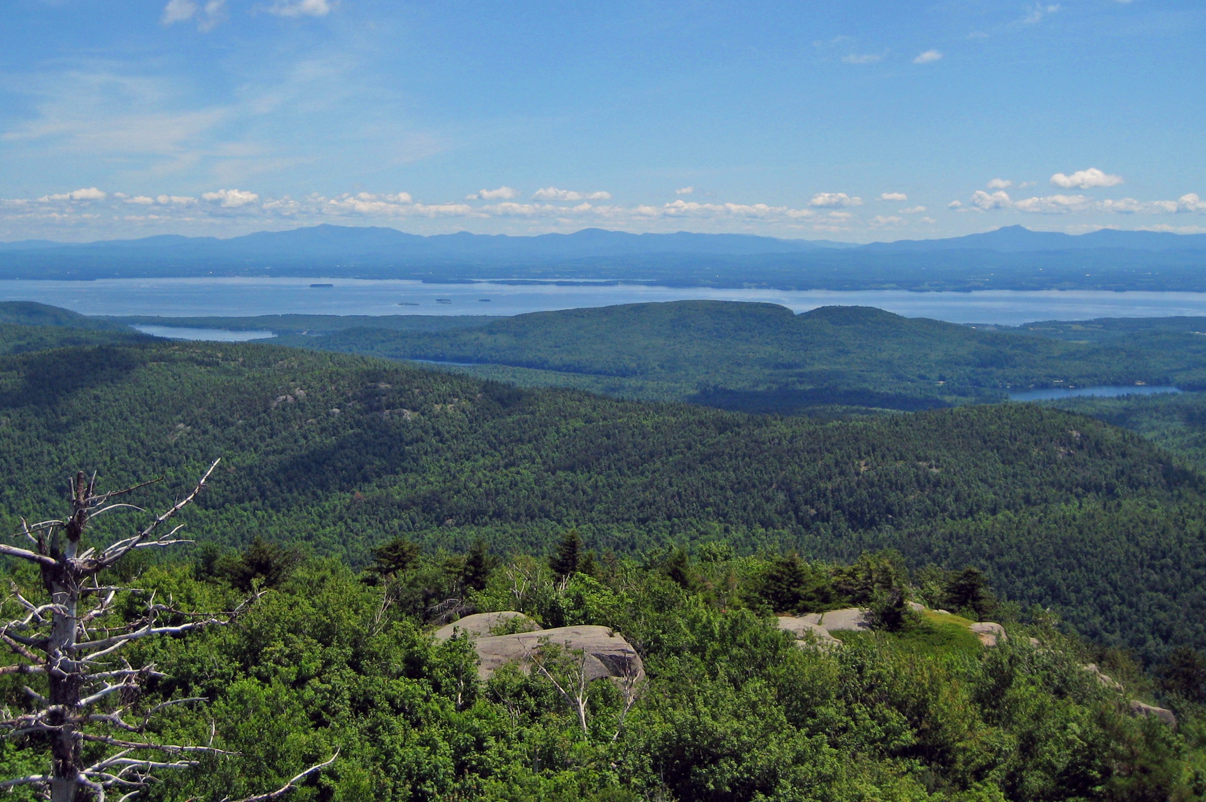
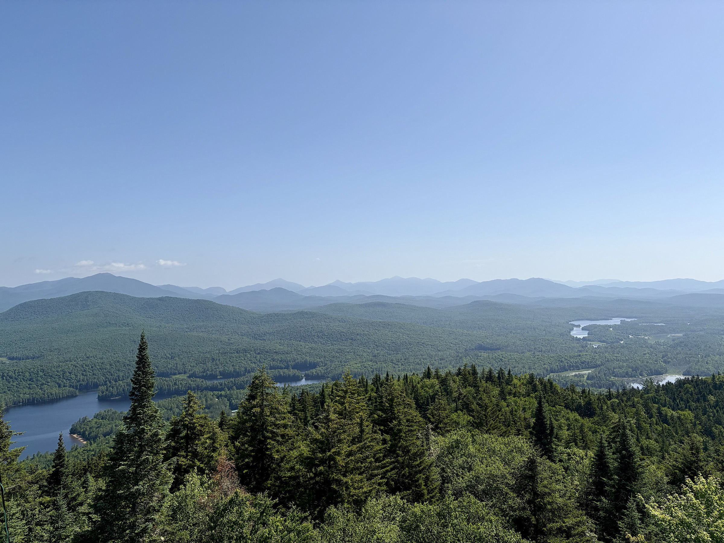
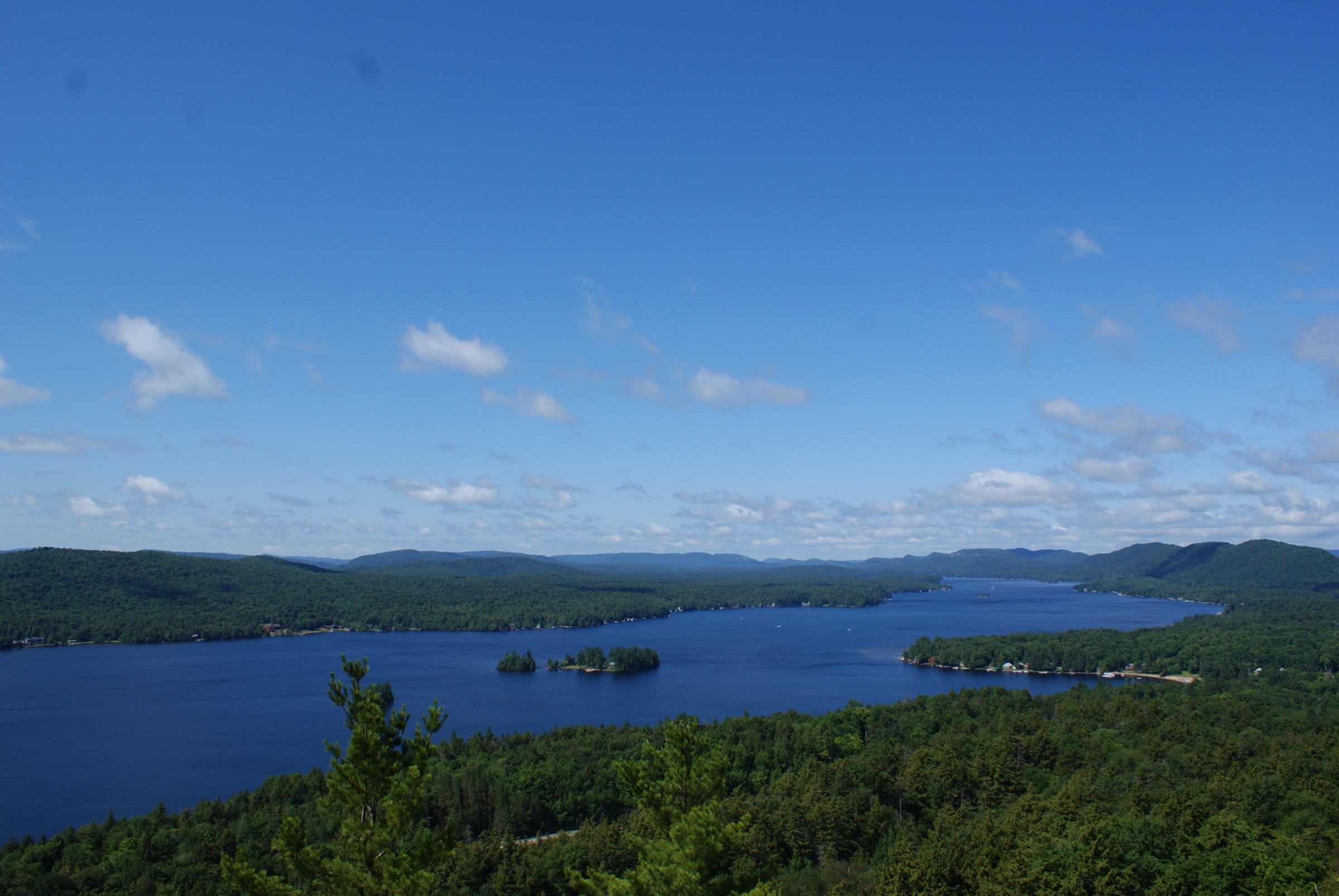
The Southern Adirondacks form a broad belt of low-to-moderate wooded mountains, kettle ponds and quiet lakes stretching from Piseco and Speculator east through Indian Lake, Wells, Wilcox Lake, Shaker Mountain, West Stony Creek, Lake Luzerne, Hadley and Hope, then out to the west shore of Lake George where the Tongue Mountain Range juts into the water. Most summits sit between 550 m and 1,200 m, with Snowy Mountain (1,159 m / 3,899 ft) the highest and the only Southern Adirondack peak that pushes toward the character of the High Peaks farther north. The landscape is dominated by mixed northern hardwood and hemlock forest, exposed anorthosite and gneiss outcrops on the higher summits, and glacially scoured ponds tucked between ridges.
Fire towers are the defining feature. Hadley, Kane, Snowy, Wakely, Pillsbury, Blue Mountain and the reconstructed Fifth Peak tower on the Tongue Mountain Range form the backbone of the Adirondack Fire Tower Challenge — each restored (or being restored) by volunteer committees working alongside the New York State Department of Environmental Conservation (DEC). Trails run on DEC-managed Forest Preserve within the Wilcox Lake, Jessup River, Shaker Mountain, Ferris Lake and Lake George Wild Forest units. No permits or entry fees are required and camping is dispersed under Forest Preserve rules.
Access is almost entirely by private car. Trailheads sit at the ends of gravel town roads — Tower Road for Hadley, Ski Hi / Garnet Lake Road for Crane, Old Piseco Road for Kane, NY 30 and NY 9N for Snowy and Tongue. Public transport is essentially absent inside the Blue Line: seasonal Trailways buses reach Lake George village, Warrensburg and Indian Lake hamlet, but reaching a trailhead from a bus stop requires a taxi or private lift. The main hiking season runs from mid-May through late October. Trails remain open in winter but require snowshoes or microspikes and full winter kit; ice can linger on the Snowy Mountain summit cone into early May.
Black flies emerge in mid-May and are severe through the third week of June; deer flies replace them in July. Ticks are present in the lower elevations and around Lake George. The single serious wildlife hazard specific to this region is the eastern timber rattlesnake, resident on the Tongue Mountain Range and other rocky outcrops along Lake George. DEC has repeatedly reinforced trailhead signage after dog-bite incidents; the species is state-threatened, and hikers are asked to leash dogs, stay on trail and give any snake a wide berth. Weather is Northeastern-continental: thunderstorms build fast on summer afternoons, and cold rain with wind chill is realistic on any exposed summit from October onward.
Selection rationale
The five walks below cover the main sub-districts of the Southern Adirondacks and the region’s characteristic route types: a classic short fire-tower climb (Hadley), a cliff-and-pond loop with ladders that captures the region’s rugged smaller peaks (Crane), the highest summit in the sub-region with a genuinely mountain-scale ascent (Snowy), the region’s signature Lake George ridge and rattlesnake habitat (Fifth Peak on the Tongue Mountain Range), and a family-friendly Fulton County fire-tower loop emblematic of the Fire Tower Challenge (Kane). Chimney Mountain, often listed among the region’s essentials, was excluded because the Kings Flow trailhead has been closed by the private landowner. All five sit firmly within day-hike range for a fit walker under normal summer conditions and are entirely on public Forest Preserve.
Summary table
| # | Hike | Country | Route type | Distance | Gain | Max elevation | Difficulty |
|---|---|---|---|---|---|---|---|
| 1 | Hadley Mountain Fire Tower | USA | Out-and-back | ~5.8 km | ~465 m | 809 m | Moderate |
| 2 | Crane Mountain Loop | USA | Loop | ~5.0–6.6 km | ~420 m | 988 m | Strenuous (ladders) |
| 3 | Snowy Mountain Fire Tower | USA | Out-and-back | ~12.2 km | ~610 m | 1,188 m | Strenuous |
| 4 | Tongue Mountain Range — Fifth Peak | USA | Out-and-back | ~9.0 km | ~430 m | 553 m | Moderate |
| 5 | Kane Mountain Fire Tower Loop | USA | Loop | ~2.9–3.4 km | ~170 m | 666 m | Easy |
1. Hadley Mountain Fire Tower
Snapshot
Itinerary
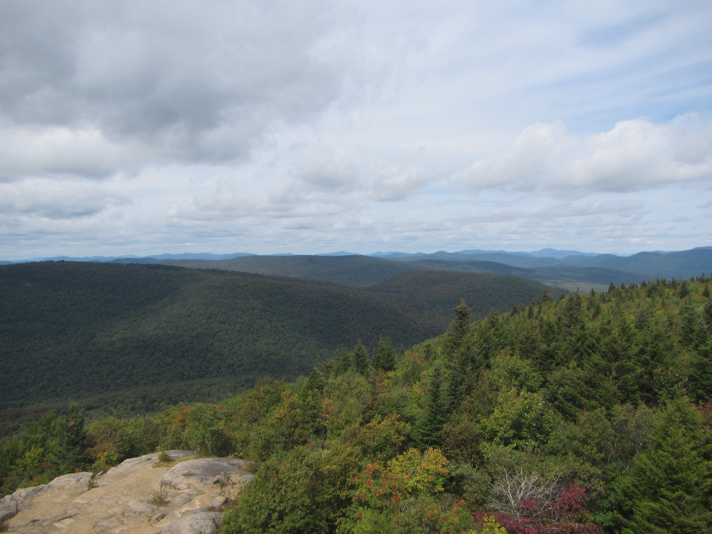
The red-marked DEC trail leaves the north side of the Tower Road parking area (unpaved, roughly 6 km / 4 mi from Hadley Hill Road) and climbs steadily through mixed hardwood forest on a former truck trail. The path is rocky and passes over broad slabs of exposed bedrock washed clean by seasonal drainage, then eases briefly on a shoulder around 1.6 km (1 mi) in before resuming a steady climb. Above roughly 700 m the forest opens onto small heath meadows and blueberry ledges, and the restored 1917 Aermotor LS-40 fire tower appears at the true summit. Views extend south to the Great Sacandaga Lake, east to the Green Mountains of Vermont on clear days, and north to the High Peaks skyline. Return is by the same trail.
Why it is essential
Hadley is the archetypal Southern Adirondack fire-tower climb: short enough for a half-day, high enough for a genuine summit panorama, and staffed by a volunteer summit steward in season. It is the closest tower to Saratoga Springs and Albany and one of the most-hiked peaks in the Wilcox Lake Wild Forest.
Equipment
- Sturdy boots for wet bedrock slabs
- Weatherproof layer
- Insect repellent (essential in May–June)
- Water and sun protection
- Microspikes or snowshoes and full winter layers in winter
Hazards and notes
- Long sections of smooth wet rock on the lower and mid-trail become slippery in rain and ice
- The summit and tower cab are exposed to lightning; descend below tree line at the first sign of thunderstorm build-up
- Dogs allowed under DEC Forest Preserve rules (leash recommended)
- Ticks reported at trailhead elevation
- Tower Road is unpaved and can be rough after mud season; low-clearance vehicles proceed with care
GPX / KML links
| Source | URL | Format | Notes |
|---|---|---|---|
| NY DEC — Wilcox Lake Wild Forest | dec.ny.gov | Official page | No official GPX; trail descriptions authoritative |
| Warren County GIS — Hadley Mt trail map | warrencountyny.gov | PDF map | Reference cartography |
| AllTrails — Hadley Mountain Trail | alltrails.com | Third-party track | Do not redistribute AllTrails GPX without licence confirmation |
Sources
- Hadley Mountain Fire Tower Committee
- NY DEC — Wilcox Lake Wild Forest
- Protect the Adirondacks — Hike Hadley Mountain
2. Crane Mountain Loop
Snapshot
Itinerary
From the small DEC trailhead at the end of Ski Hi Road the yellow-marked trail climbs steeply through hardwoods, gaining most of its elevation in the first kilometre. A short rock step and a bolted wooden ladder (roughly 3 m) lead to a steeper cliff, where a second, longer ladder (reported at 9–12 m) climbs the summit face. Above the ladders the trail eases across bald rock to the true summit with wide views south to Garnet Lake, Bullhead Mountain and Moose Mountain. From the summit, red markers descend north and then east to the shore of Crane Mountain Pond, a glacial tarn set in a basin between the summit cliff and a second knob. The trail follows the pond outlet and returns via a marked descent to the trailhead, closing the loop. Direct out-and-back to the summit is 4.5 km (2.8 mi); via the pond, 5.0–6.6 km (3.1–4.1 mi).
Why it is essential
Crane packs the character of a much bigger Adirondack peak — cliff ladders, a summit tarn, open bedrock and exposed views — into a compact day. It is the archetypal small-Adirondack scramble and one of the most-recommended non-High-Peaks hikes in Warren County.
Equipment
- Sturdy boots with good rubber for rock friction
- Gloves useful for cold ladder rungs
- Headtorch for autumn descents
- Trekking poles (must be stowed for the ladders)
- Dogs are not recommended: the long ladder is impassable for most
Hazards and notes
- The ladders are the primary hazard — bolted and inspected but wet or icy rungs are serious; hikers with a fear of exposure should reconsider
- The summit cliff has unfenced drops
- Crane Mountain Pond hosts primitive camping and swimming under Forest Preserve rules
- Cell coverage is unreliable
- Ski Hi Road is rough near the trailhead; parking is limited and fills early on summer weekends
GPX / KML links
| Source | URL | Format | Notes |
|---|---|---|---|
| Warren County GIS — Crane Mt trail map | warrencountyny.gov | PDF map | Reference cartography |
| AllTrails — Crane Mountain Loop | alltrails.com | Third-party track | Do not redistribute AllTrails GPX without licence confirmation |
| Trailforks — Crane Mountain Loop Trail | trailforks.com | Third-party track | Cross-check only |
Sources
- Protect the Adirondacks — Hike Crane Mountain
- Adirondack Explorer — Crane Mountain
- Visit North Creek — Crane Mt.
3. Snowy Mountain Fire Tower
Snapshot
Itinerary
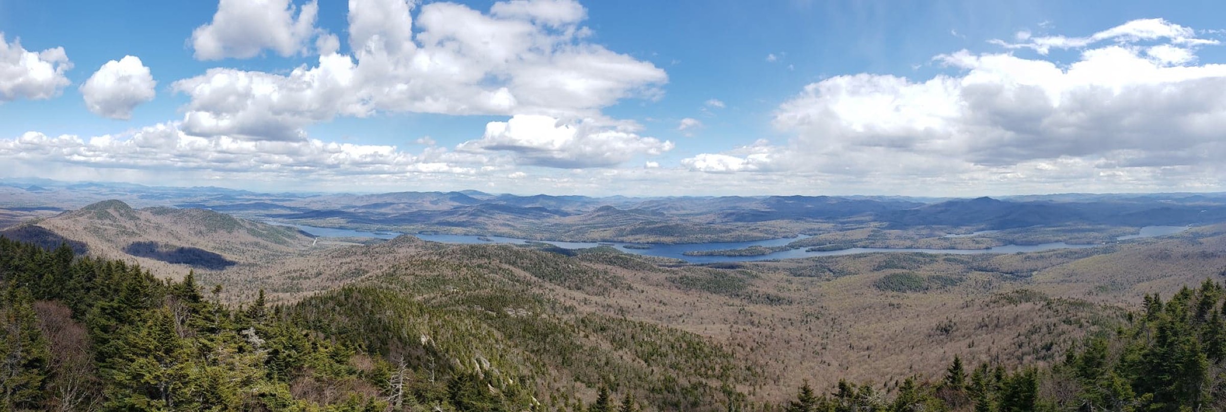
The red-marked DEC trail leaves the west side of NY 30 and follows a moderate grade through mixed hardwood along Beaver Brook for the first 3 km, crossing the brook several times on rocks and log stringers. Around the 3.5 km mark the trail bends south-west and begins the sustained climb that defines the route: steep, rooted and locally eroded to bare rock, gaining most of the day’s elevation in the final 2 km. Near the summit ridge the vegetation shifts to boreal spruce-fir, a rarity in the Southern Adirondacks and a reminder that Snowy is high enough to touch subalpine forest. The restored 1917 Aermotor LS-40 tower stands just below the true summit; from the cab the view sweeps north to the High Peaks, west over West Canada Lake Wilderness and east across Indian Lake. Return by the same trail.
Why it is essential
Snowy is the highest summit in the Southern Adirondacks and the only Southern peak with a genuinely high-altitude climb. It is also the sub-region’s most historically significant tower — added to the National Register of Historic Places in 2001 — and the anchor peak of the Fire Tower Challenge in the area.
Equipment
- Sturdy boots
- Extra warm layer
- Hat and gloves outside midsummer
- Navigation backup
- Headtorch
- Microspikes advisable April–May and October–November
- Water treatment; no reliable water above halfway
Hazards and notes
- The upper slope is steep, eroded and often muddy; footing is the main hazard
- Weather changes fast on the exposed summit and the tower cab is a lightning risk
- Cell coverage is patchy
- Dogs allowed under Forest Preserve rules
- Black flies are severe in the drainage in June
- Parking on NY 30 fills on summer weekends; overflow on the shoulder is legal only where marked
GPX / KML links
| Source | URL | Format | Notes |
|---|---|---|---|
| NY DEC — Fire Towers | dec.ny.gov | Official page | Descriptions |
| AllTrails — Snowy Mountain Fire Tower | alltrails.com | Third-party track | Do not redistribute AllTrails GPX without licence confirmation |
| OpenStreetMap | openstreetmap.org | OSM data | Reusable with attribution (ODbL) |
Sources
- NY DEC — Fire Towers
- Protect the Adirondacks — Hike Snowy Mountain
- Adirondack Explorer — Featured hike: Snowy Mountain Fire Tower
4. Tongue Mountain Range — Fifth Peak from Clay Meadow
Snapshot
Itinerary
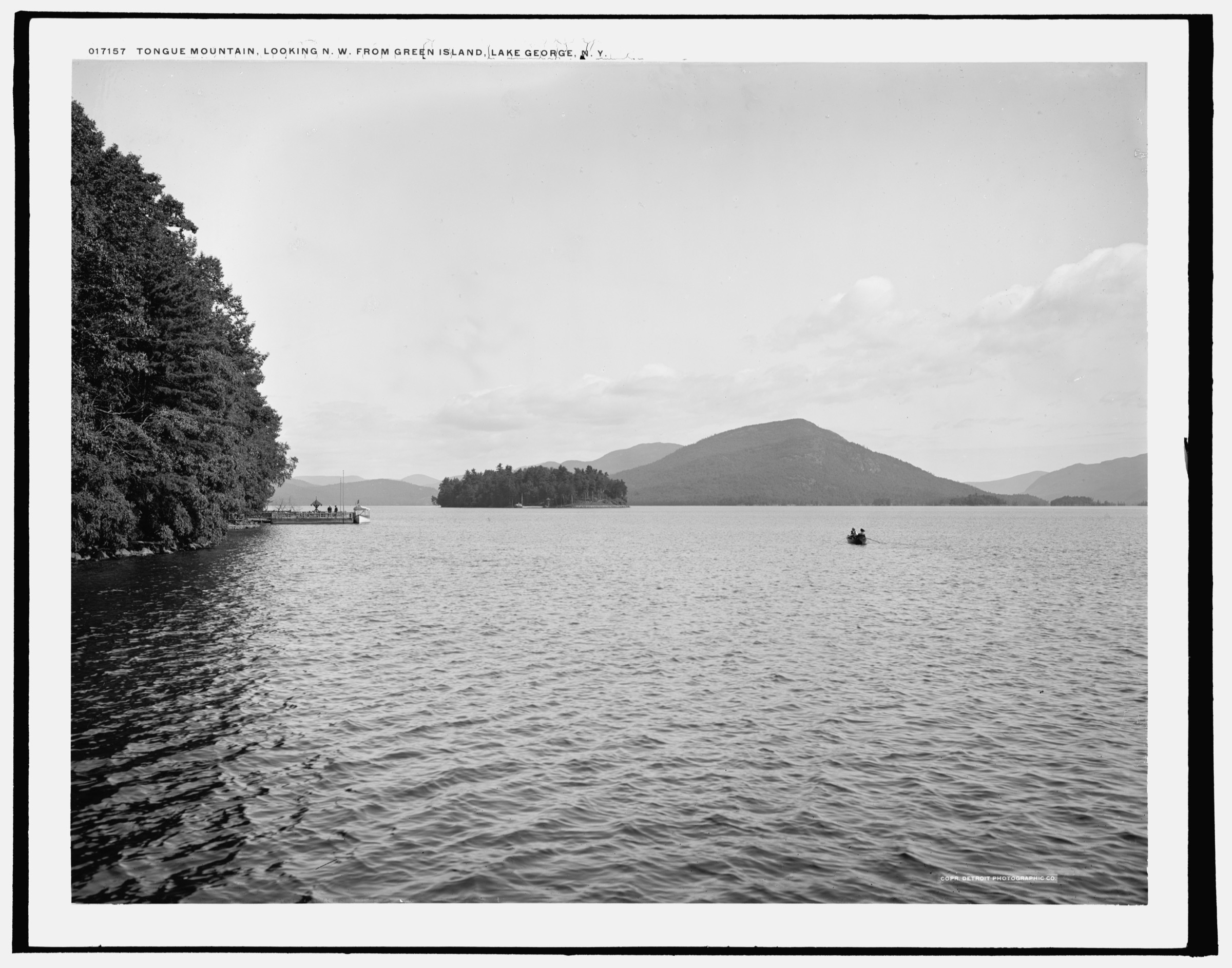
From the DEC register at Clay Meadow the blue-marked trail descends briefly, crosses a stream at 0.3 km and passes an unmarked spur to a small waterfall. The path climbs steadily through hemlock and mixed hardwood, crossing several small drainages before easing onto a bench at roughly 2 km. It resumes climbing to the marked junction with the Tongue Mountain Range Trail at 3.2 km. Turning north (left) on the range trail, the route continues to the yellow-marked Fifth Peak Lean-To Trail spur at approximately 4.0 km. The spur leads within a few hundred metres to the wooden lean-to and, just beyond it, an open rock outcrop with sweeping views south down Lake George, east to Black Mountain and west across Northwest Bay. Return by the same trails.
Why it is essential
The Tongue Mountain Range is the defining ridgeline of the west shore of Lake George, and Fifth Peak is its most accessible day-hike viewpoint from Clay Meadow. The hike combines the lake’s classic long-water panorama with rattlesnake-habitat rocky ridge — a landscape genuinely unlike anything else in the Southern Adirondacks.
Equipment
- Sturdy boots covering the ankle
- Long trousers for rattlesnake habitat
- Tick protection
- Water treatment for stream sources
- Insect repellent for the lower drainage
Hazards and notes
- Documented resident habitat for the state-threatened eastern timber rattlesnake — DEC has reinforced signage after dog-bite incidents; stay on trail, leash dogs and never approach or handle a snake
- Encounters most likely on sunlit ledges May–September
- Cell coverage is patchy
- Bear activity has been reported around the lean-to; hang or canister-store food if overnighting
- Clay Meadow parking fills on summer weekends
GPX / KML links
| Source | URL | Format | Notes |
|---|---|---|---|
| NY DEC — Lake George Wild Forest | dec.ny.gov | Official page | Descriptions |
| AllTrails — Fifth Peak via Clay Meadows | alltrails.com | Third-party track | Do not redistribute AllTrails GPX without licence confirmation |
| Waymarked Trails / OpenStreetMap | waymarkedtrails.org | OSM data | Reusable with attribution (ODbL) |
Sources
- NY DEC — Lake George Wild Forest
- Protect the Adirondacks — Hike Tongue Mountain
- Visit Lake George — Hiking Highlight: Fifth Peak
5. Kane Mountain Fire Tower Loop
Snapshot
Itinerary
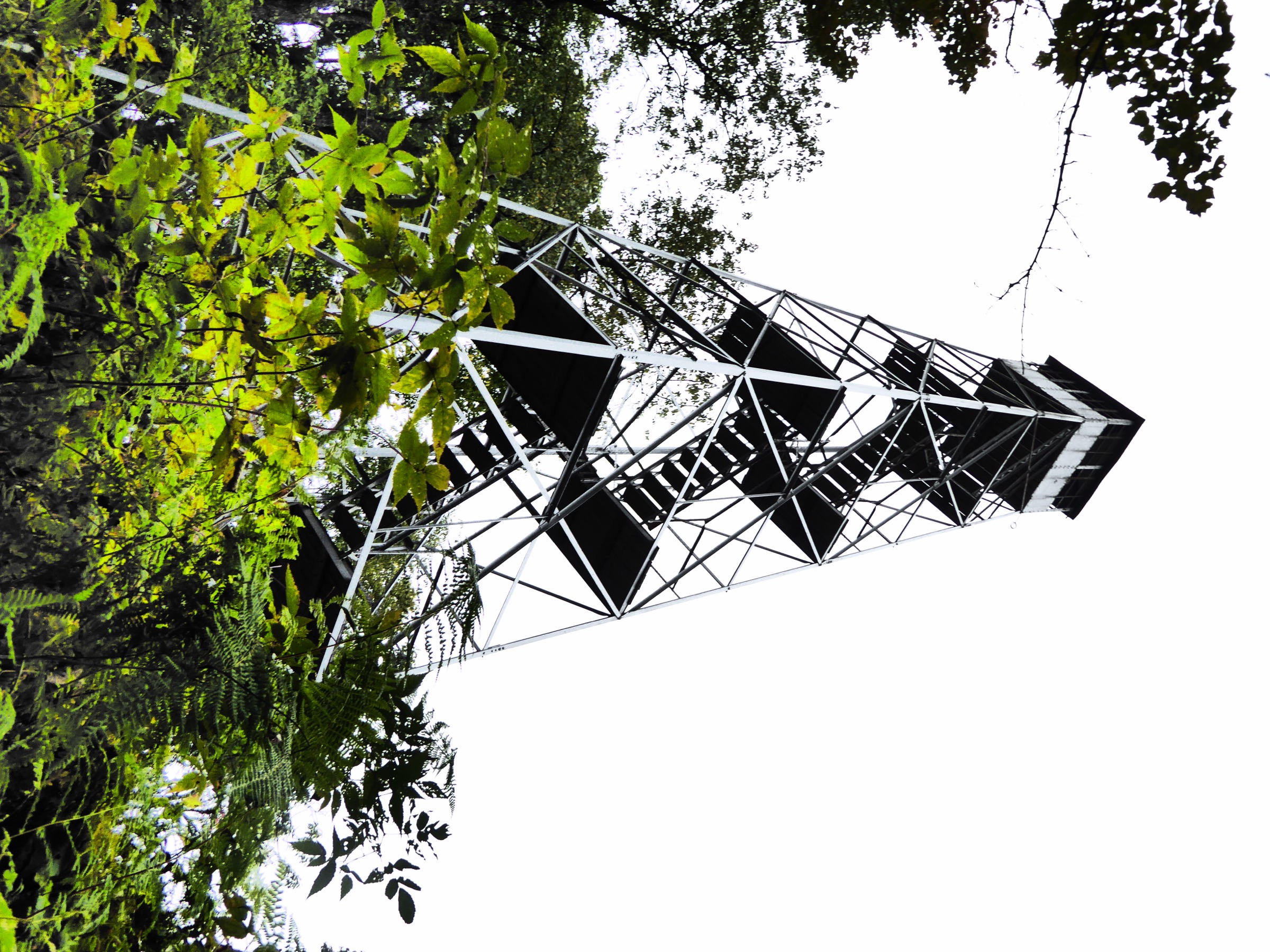
From the small DEC parking area on Green Lake Road two trails leave the register. The East Trail (blue markers) climbs directly and steadily for approximately 1.3 km to the summit clearing, gaining most of the elevation on a straightforward forest path. The summit hosts the restored 1925 Kane Mountain Fire Observation Station, a fire observer’s cabin, and open ledges giving views south over Pine Lake and Canada Lake and north toward the higher Southern Adirondack ridges. Descent on the red-marked North Trail is longer and gentler, following an easy grade back to Green Lake Road. A short (~200 m) road walk closes the loop. The reverse direction (up North, down East) is equally common.
Why it is essential
Kane is the archetypal “easy fire tower” of the Fulton County / West Stony Creek belt: a short, family-friendly climb to a fully restored tower with a working cab and open panorama. It is a fixture of the Adirondack Fire Tower Challenge and one of the most-hiked short summits in the Southern Adirondacks.
Equipment
- Standard hiking shoes; trail runners adequate in dry conditions
- Insect repellent essential in May–June
- Water and sun protection
- Microspikes or snowshoes for winter ascents
Hazards and notes
- The tower cab is enclosed but the ladder is exposed; descend before thunderstorms
- Ticks reported at trailhead elevation
- Green Lake Road is a narrow town road with limited pull-off parking; do not block driveways
- Dogs allowed under Forest Preserve rules
GPX / KML links
| Source | URL | Format | Notes |
|---|---|---|---|
| NY DEC — Ferris Lake Wild Forest | dec.ny.gov | Official page | Descriptions |
| Protect the Adirondacks — Kane Mt trail map | protectadks.org | PDF map | Reference cartography |
| AllTrails — Kane Mountain North Trail Loop | alltrails.com | Third-party track | Do not redistribute AllTrails GPX without licence confirmation |
Sources
- NY DEC — Ferris Lake Wild Forest
- Protect the Adirondacks — Hike Kane Mountain
- Adirondack Explorer — A mountain with Kane-do spirit
Missing data / follow-up work
- Crane Mountain photo — no licence-compatible summit, ladder or Crane Mountain Pond image located in this pass. Follow-up: check Flickr Commons with explicit CC filters and Adirondack Almanack image submissions.
- Official GPX — DEC does not currently publish official downloadable GPX for these routes. All available GPX tracks are third-party (AllTrails, Trailforks) with restrictive terms; coordinate geometry should be re-derived from OSM or from a hiker’s own recording.
- Snowy Mountain fire-tower status — tower is reported restored and open; verify against current DEC and Friends of Snowy Mountain communications before publication in case of temporary closure for maintenance.
- Fifth Peak tower — the reconstructed Fifth Peak tower is a period-appropriate historical structure and is intermittently referenced in DEC materials; verify current on-site status before publication.
- Distance discrepancies — Hadley (3.2 vs 3.6 mi), Crane (3.1 vs 4.1 mi via pond), Snowy (7.5 vs 7.8 mi) and Fifth Peak (2.6 vs 2.8 mi one-way) show minor cross-source variation. Resolve by GPS-tracking each route.
- Rattlesnake signage — DEC signage on Tongue Mountain is periodically updated; verify current wording before quoting.
Further reading
| Source | URL |
|---|---|
| NY DEC — Fire Towers | dec.ny.gov |
| NY DEC — Adirondack Day Hikes | dec.ny.gov |
| NY DEC — Wilcox Lake Wild Forest | dec.ny.gov |
| NY DEC — Lake George Wild Forest | dec.ny.gov |
| NY DEC — Ferris Lake Wild Forest | dec.ny.gov |
| Protect the Adirondacks | protectadks.org |
| Adirondack Mountain Club (ADK) | adk.org |
| Adirondack Explorer | adirondackexplorer.org |
| Hadley Mountain Fire Tower Committee | hadleymtfiretower.org |
| Visit Lake George | visitlakegeorge.com |
| Warren County GIS trail maps | warrencountyny.gov |