Regional overview
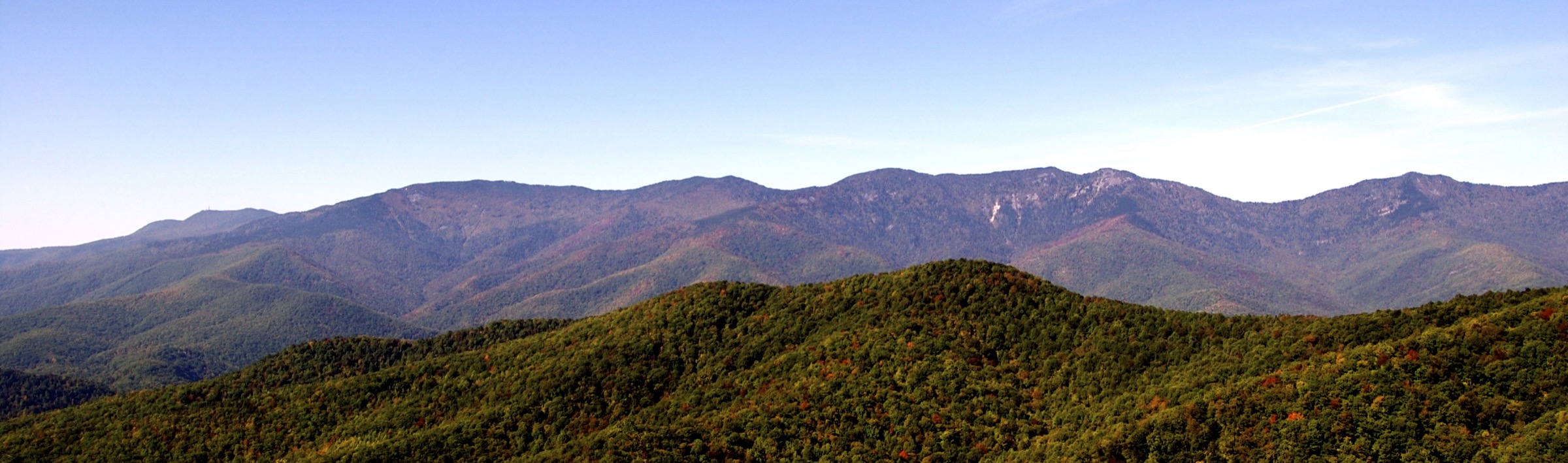
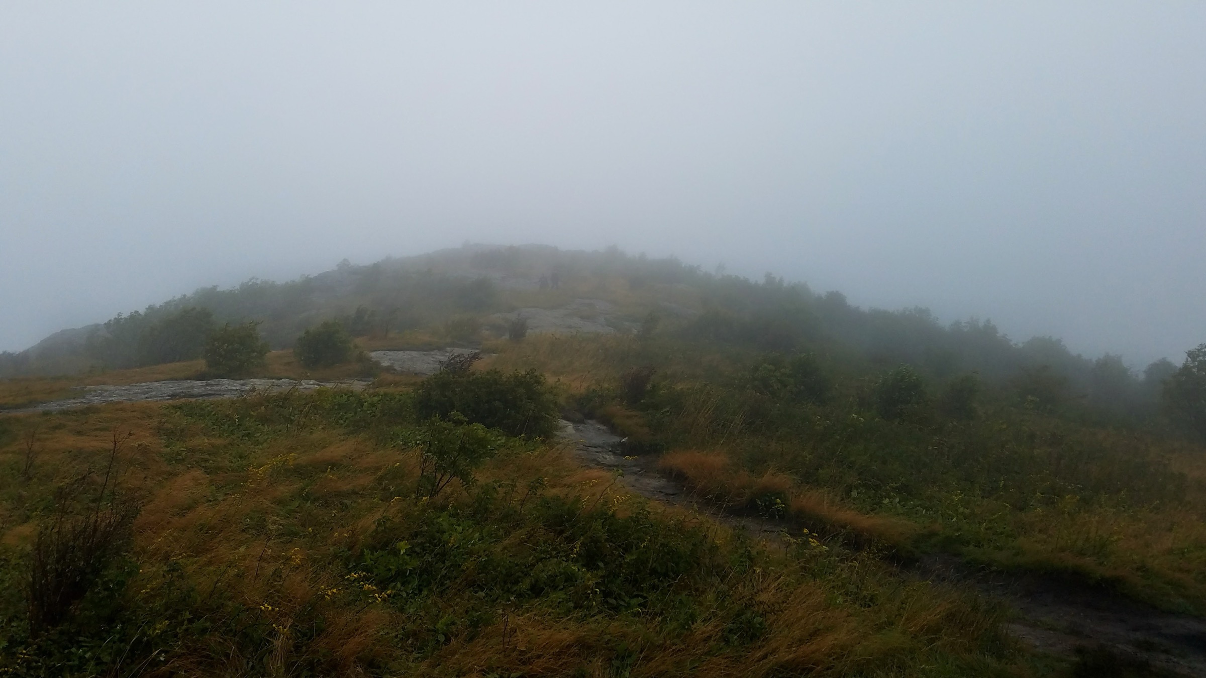
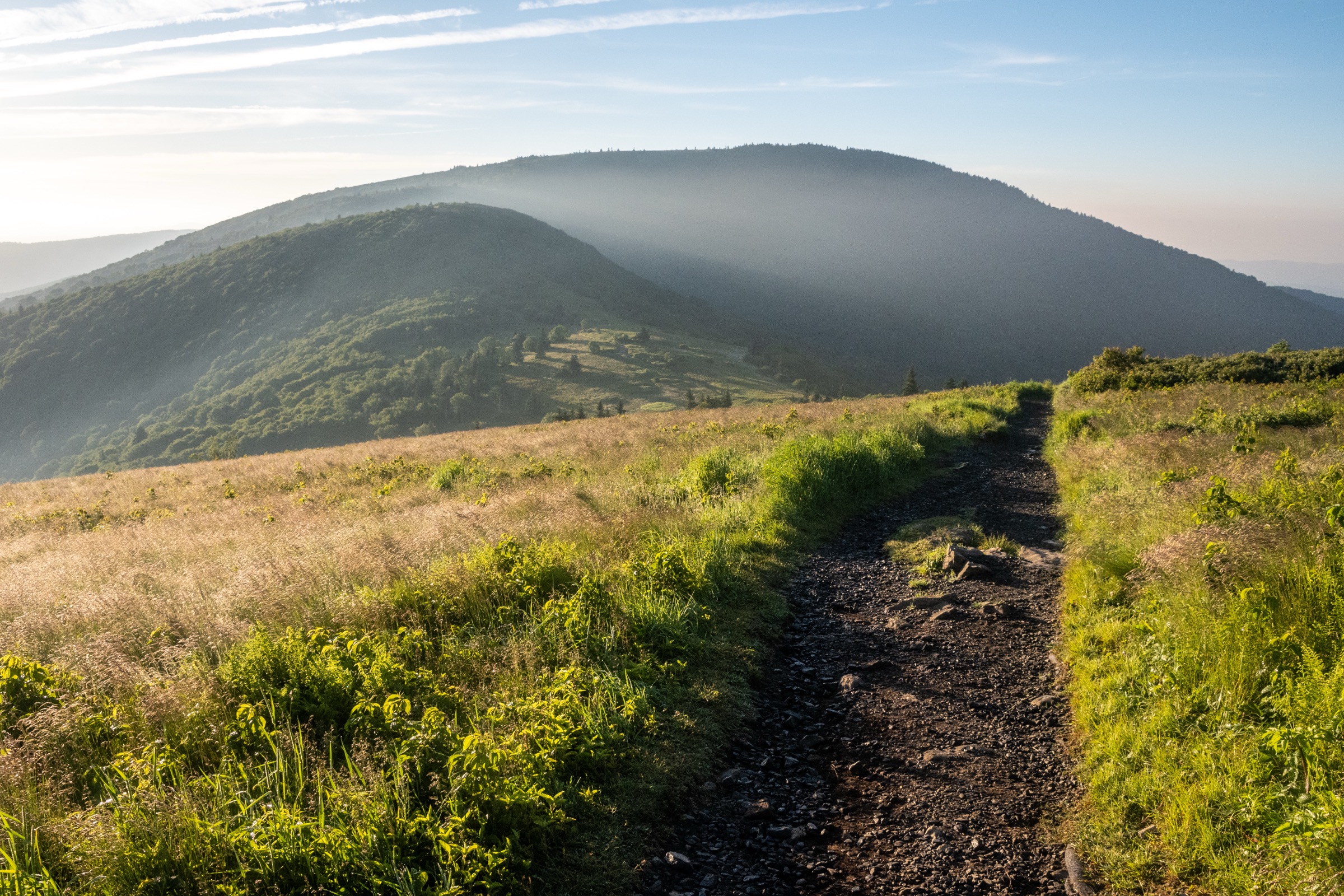
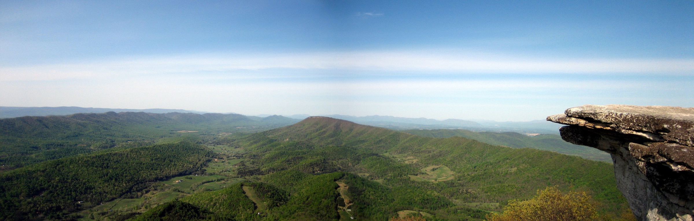
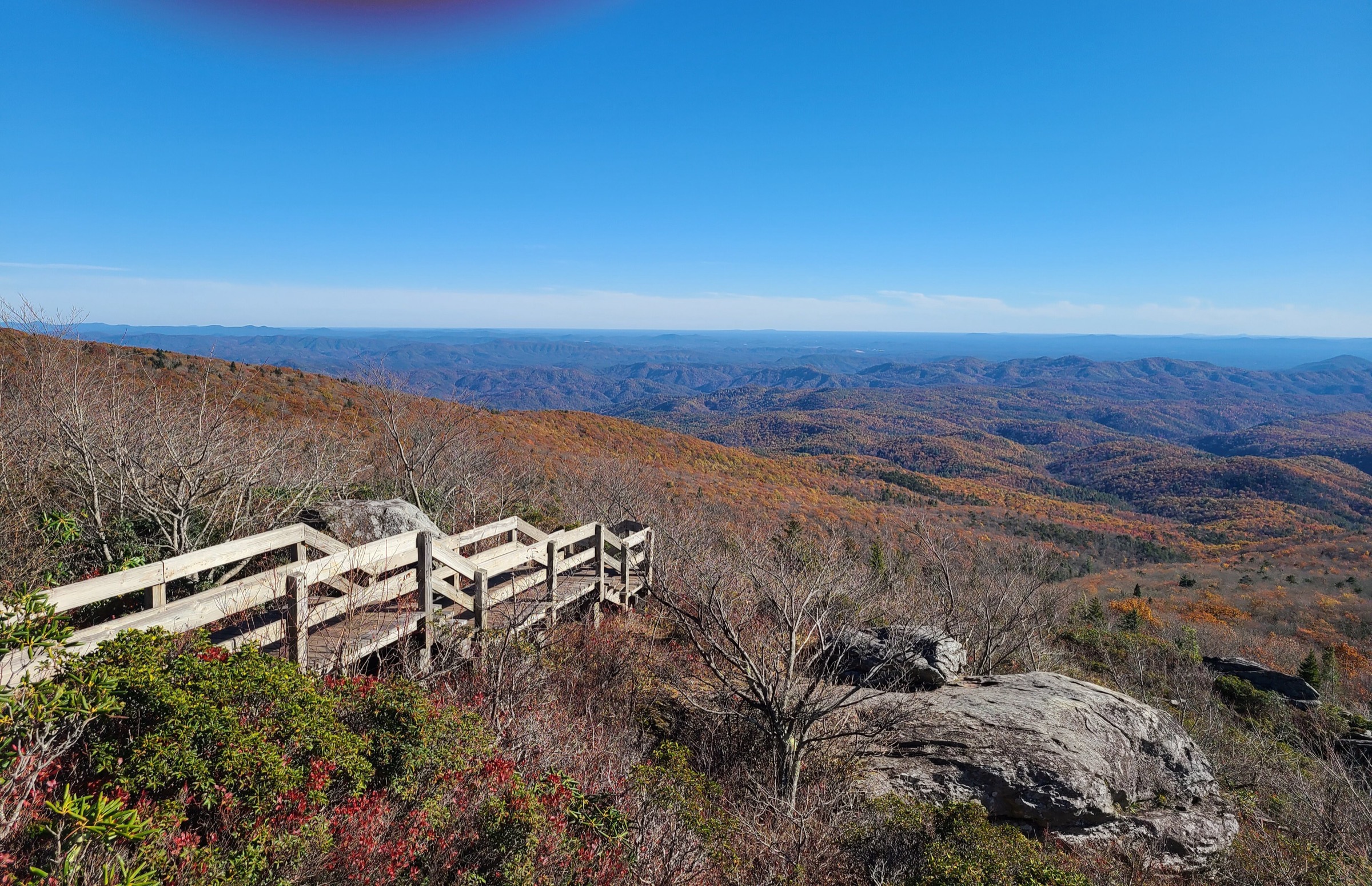
The North Carolina High Country covers the Boone, Blowing Rock, Banner Elk, Grandfather Mountain, Elk Knob, Julian Price Park and Linville Falls sector of the Blue Ridge Mountains. The hiking character is defined by high, wet, biologically rich ridges, Blue Ridge Parkway trailheads, spruce–fir and northern hardwood forest, rocky summits with ladders and cables on Grandfather Mountain, short but dramatic Parkway viewpoints, stream loops and waterfall–gorge walks.
Current access is still shaped by post-Hurricane Helene recovery and Blue Ridge Parkway status. NC State Parks lists Grandfather Mountain State Park’s Profile access as partially reopened — the upper portion of the trail, campsite and parking area are open while the lower streamside portion remains closed. NC State Parks also lists Elk Knob’s hiking trails as open, with a remaining Backcountry Trail closure. The National Park Service pages for the Blue Ridge Parkway repeatedly direct visitors to check road status and closures before driving to Parkway trailheads.
None of the selected routes require climbing equipment, but Grandfather Mountain is a serious mountain environment. The Daniel Boone Scout Trail and the upper Grandfather crest involve steep, rocky ground, ladders, cables, sudden weather and fall consequences. Linville Falls has dangerous water and rock hazards, and the Parkway routes can be affected by winter gates, storm damage, fog and crowded parking.
See also: Great Balsam Mountains, Blue Ridge · Roan Highlands, Blue Ridge Mountains.
Selection rationale
Five hikes represent the essential High Country day-hiking range: a Grandfather Mountain summit route to Calloway Peak, a Tanawha Trail / Rough Ridge viewpoint section above the Linn Cove Viaduct, the classic Boone Fork loop at Julian Price Park, the Elk Knob summit trail north of Boone, and the Linville Falls overlook and plunge-basin trail cluster. Profile Trail was not selected in this pass because current official notices still describe partial closure; it remains a future candidate once fully reopened.
Summary
| # | Hike | Route type | Distance | Gain | Max elevation | Difficulty |
|---|---|---|---|---|---|---|
| 1 | Daniel Boone Scout Trail to Calloway Peak | Out-and-back | ~11.6 km | ~540–610 m | 1,812 m | Strenuous |
| 2 | Tanawha Trail: Linn Cove Viaduct / Rough Ridge section | Out-and-back | 1.9–5.5 km | ~114–164 m | ~1,427 m | Moderate to strenuous |
| 3 | Boone Fork Trail loop, Julian Price Park | Loop | 8.9 km | ~160 m | Unresolved | Moderate to strenuous |
| 4 | Elk Knob Summit Trail | Out-and-back | 6.1 km | ~293–298 m | 1,682 m | Moderate to strenuous |
| 5 | Linville Falls Overlooks and Plunge Basin trails | Out-and-back cluster | ~4.8 km | Unresolved | Unresolved | Moderate to strenuous |
1. Daniel Boone Scout Trail to Calloway Peak
Snapshot
Itinerary
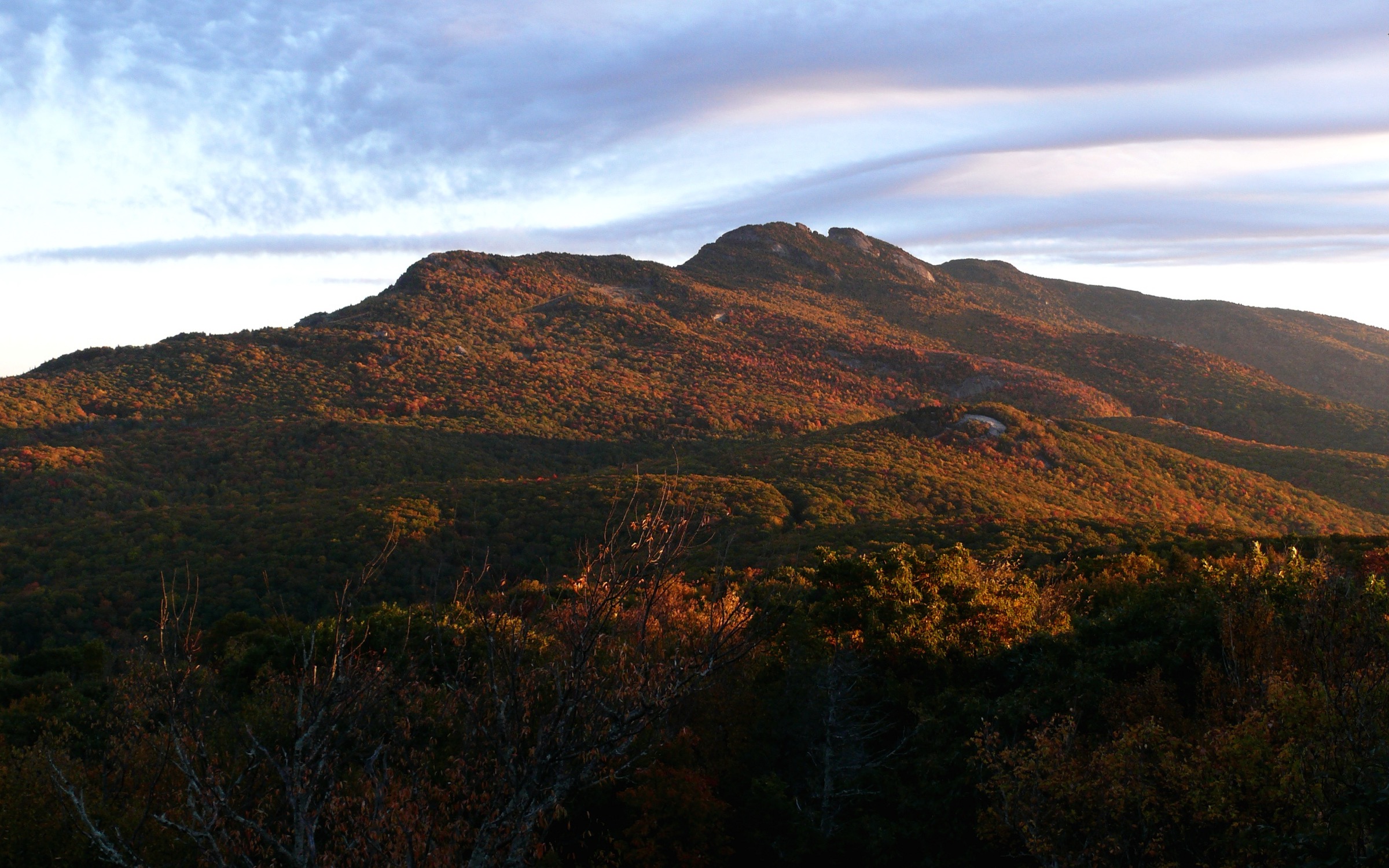
From the Boone Fork Parking Area on the Blue Ridge Parkway, follow the Tanawha Trail south to the Daniel Boone Scout Trail junction. The Scout Trail climbs through hardwood forest, rougher upper forest and high-elevation spruce–fir terrain toward Calloway Peak. The upper trail includes steep, rocky sections and fixed ladders or cables near the crest. The route ends at Calloway Peak and returns by the same line, avoiding the traditional Profile Trail approach which NC Parks currently lists as only partially reopened.
Why it is essential
Calloway Peak is the highest point on Grandfather Mountain and one of the major summits of the North Carolina Blue Ridge. The Daniel Boone Scout Trail delivers the High Country’s most serious day-hike experience — steep forest ascent, Grandfather Mountain ecology, exposed summit terrain and Blue Ridge Parkway access without using the private attraction entrance.
Equipment
- Sturdy boots or approach-style hiking shoes with grip
- Weatherproof shell and warm layer — summit weather turns quickly
- 2–3 L water and food
- Light gloves for the ladders and cables
- Map or offline route and headtorch
- First-aid basics
- Traction and extra insulation in cold conditions
Hazards and notes
- Free permits are required for hiking inside Grandfather Mountain State Park; register at the trailhead.
- Grandfather Mountain is known for severe weather and challenging terrain, including scrambling, cables and ladders.
- Start early — rough terrain makes progress slow.
- Pets are allowed by park rule but many steep trails are not recommended for pets.
- Confirm Blue Ridge Parkway road status before driving to Boone Fork Parking Area.
GPX / route file
| Source | URL | Format | Notes |
|---|---|---|---|
| NC State Parks — Grandfather Mountain trails | ncparks.gov | Official trail listing | Trail length and status; no GPX published |
| NC State Parks — Grandfather Mountain State Park | ncparks.gov | Official access, permits, alerts | Permit and current access notes |
| Grandfather Mountain — East Side Trails | grandfather.com | Local guide description | Useful route detail and gain cross-check |
| AllTrails — Grandfather Mountain via Daniel Boone Scout Trail | alltrails.com | Third-party track | Do not redistribute AllTrails GPX without licence confirmation |
2. Tanawha Trail: Linn Cove Viaduct / Rough Ridge section
Snapshot
Itinerary
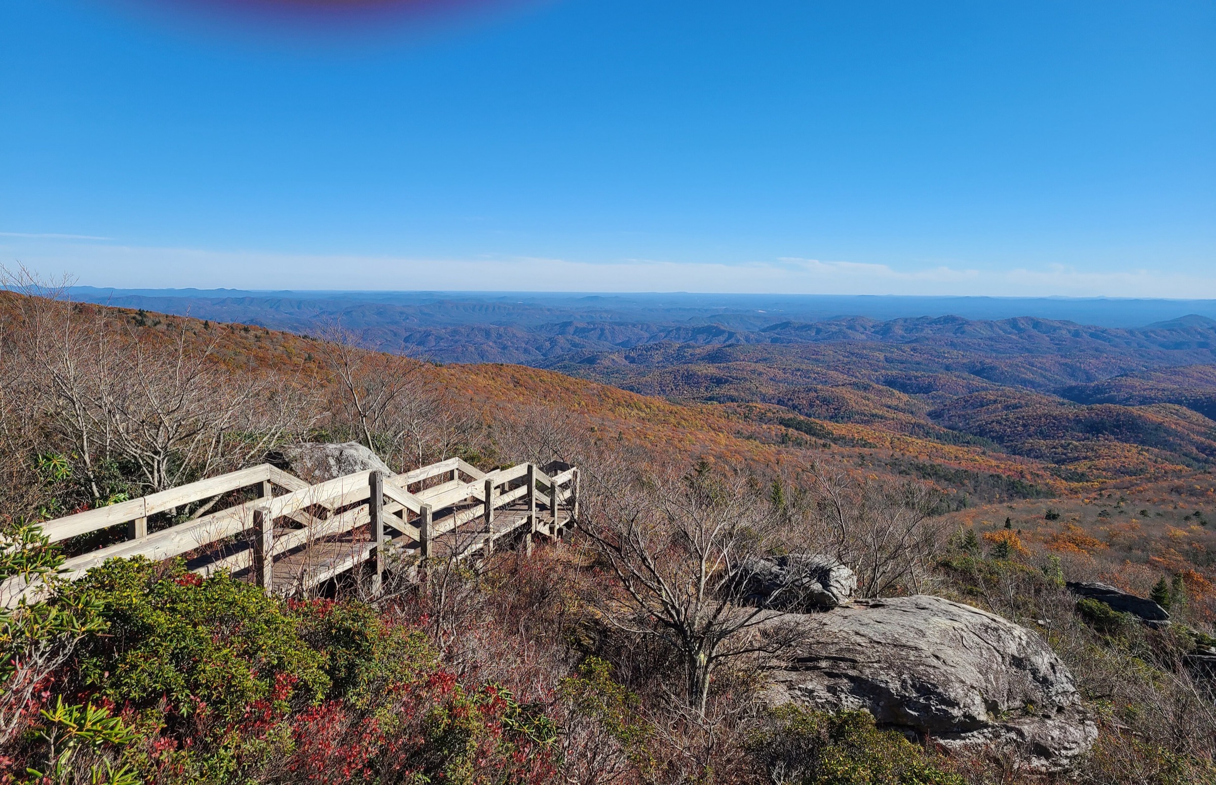
The essential short version starts from Rough Ridge Overlook and follows the Tanawha Trail — here shared with the Mountains-to-Sea Trail — up stone steps, forest tread, boardwalk and rock viewpoints to the Rough Ridge lookout. A longer High Country version starts near the Linn Cove Viaduct or the Stack Rock area, passes below or near the viaduct, climbs toward Rough Ridge and returns the same way. Boardwalks and the marked trail are compulsory routes — NPS notes that the fragile ecosystem is protected by the designated paths, bridges and boardwalks.
Why it is essential
Rough Ridge is the High Country’s signature Blue Ridge Parkway viewpoint hike. It combines the engineering story of the Linn Cove Viaduct, the Tanawha Trail’s ancient and fragile ecosystem, mountain-heather habitat and sweeping views toward the Piedmont, Grandmother Mountain, Hawksbill, Table Mountain and the viaduct itself.
Equipment
- Hiking shoes with good traction
- Weatherproof shell and warm layer outside summer
- Water and sun protection for the exposed viewpoints
- Map or offline route
- Ice traction after freeze–thaw or in winter, when the route may be unsafe
Hazards and notes
- Stay on boardwalks and marked paths; NPS highlights the fragility of the Rough Ridge ecosystem.
- Rock and wooden surfaces are slippery when wet or icy.
- Parking areas fill quickly during leaf season.
- The Blue Ridge Parkway can close for weather, maintenance or storm recovery.
- Exposed viewpoints have fall hazards; do not cross barriers.
GPX / route file
| Source | URL | Format | Notes |
|---|---|---|---|
| NPS — Tanawha Trail | nps.gov | Official trail description | Official route context; no direct GPX |
| NPS — Linn Cove Viaduct | nps.gov | Official page | Viaduct and trail context |
| Gaia GPS — Tanawha Trail | gaiagps.com | Third-party track | GPX/KML download; reuse licence unresolved |
| Wikiloc — Tanawha Trail / Rough Ridge | wikiloc.com | Third-party track | Route-file source; reuse licence unresolved |
3. Boone Fork Trail loop, Julian Price Park
Snapshot
Itinerary
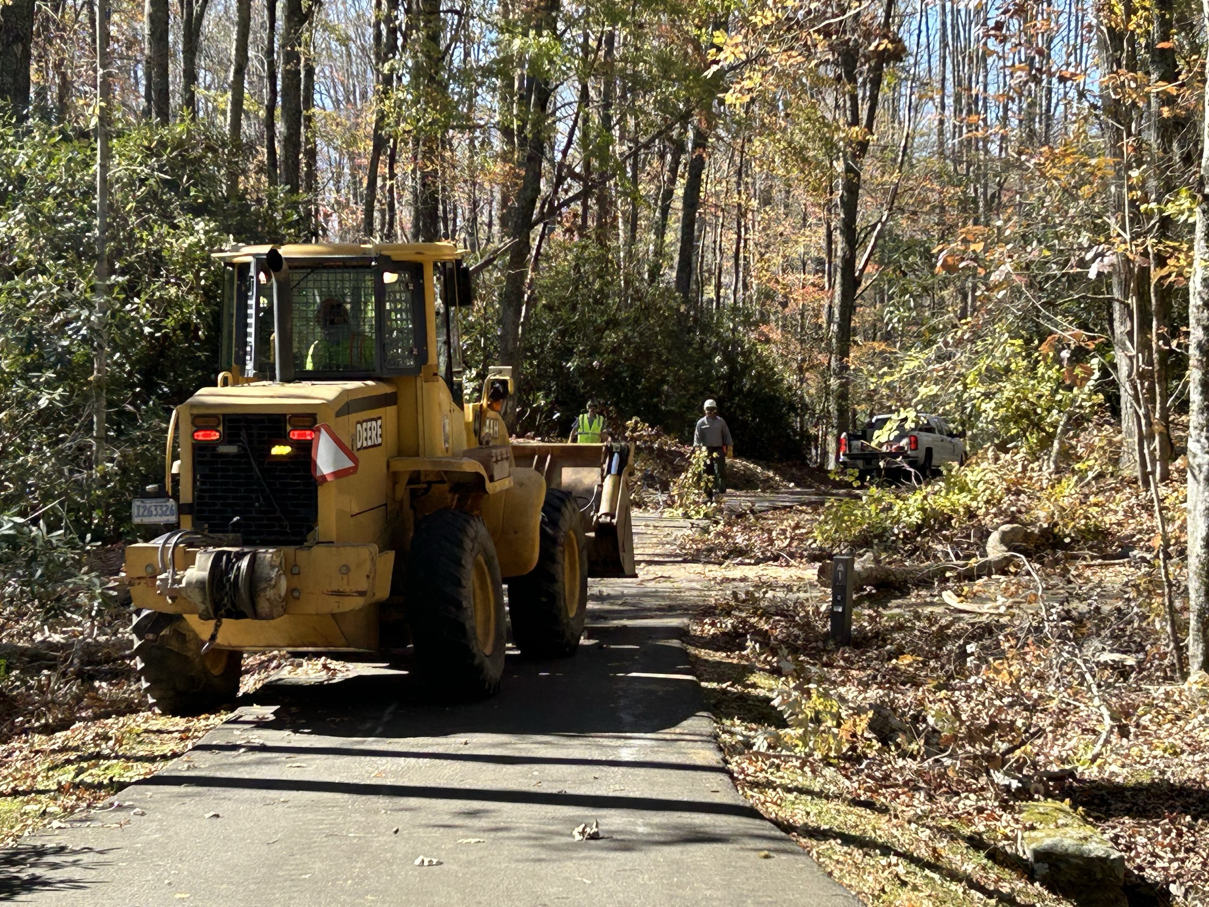
From the wooden footbridge in the Price Park Picnic Area, the Boone Fork Trail loop threads a concentrated sample of Blue Ridge environments — streams, pastures, rock outcrops, meadows and rhododendron woods. The Mountains-to-Sea Trail shares the Boone Fork Trail for about half the loop, with signed entry and exit points. The route returns to the picnic area after completing the circuit.
Why it is essential
Boone Fork is the best all-around forest-and-stream loop in the Boone / Blowing Rock Parkway corridor. It is less exposed than Rough Ridge and less technical than Grandfather Mountain, but it packs creek crossings, rhododendron, meadows, rock outcrops and Parkway access into a single half-day walk.
Equipment
- Hiking shoes or boots with traction
- 1.5–2 L water and food
- Weatherproof shell
- Map or offline route
- Trekking poles for uneven tread and streamside footing
- Extra care after rain for slippery rocks and mud
Hazards and notes
- NPS rates the loop moderate to strenuous and advises at least 3 hours of daylight walking time.
- Streamside rocks, roots, stairs and boulders can be slippery.
- The Blue Ridge Parkway and Boone Fork parking areas can close intermittently; check NPS road status.
- The first mile is also a TRACK Trail and may be busier with families.
GPX / route file
| Source | URL | Format | Notes |
|---|---|---|---|
| NPS — Julian Price Park Hiking Trails | nps.gov | Official description | Official distance, route type, access point, time; no GPX |
| Wikimedia Commons — NPS Price Park trail map | commons.wikimedia.org | Public-domain NPS map | Reusable map image; not GPX geometry |
| AllTrails — Boone Fork Trail Loop via Tanawha Trail | alltrails.com | Third-party track | Do not redistribute AllTrails GPX without licence confirmation |
4. Elk Knob Summit Trail
Snapshot
Itinerary
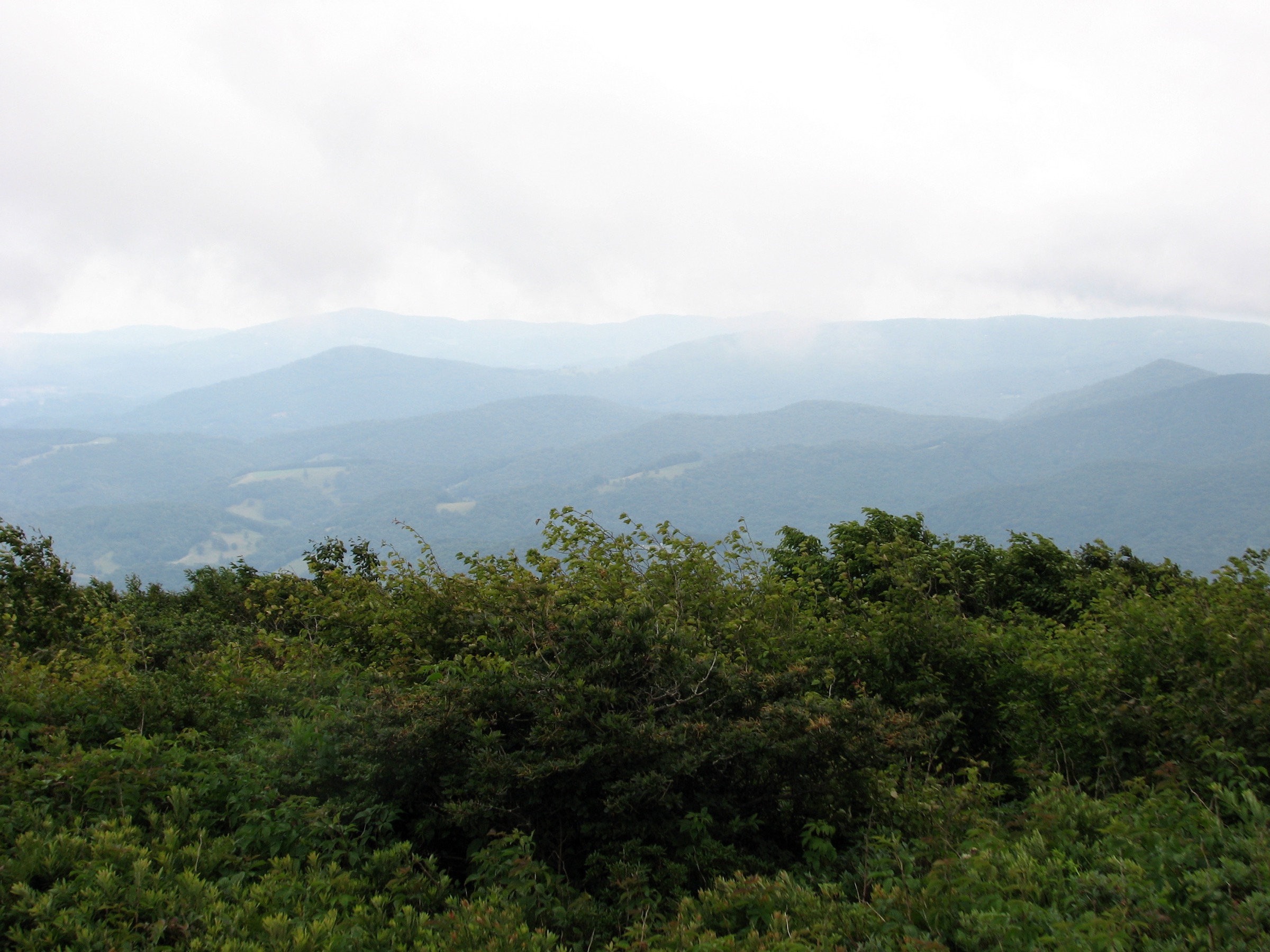
From the main Elk Knob State Park trailhead, the blue-diamond Summit Trail climbs uphill through northern hardwood forest on a well-defined tread to the summit area, where viewpoints open across the High Country and toward the surrounding North Carolina, Virginia and Tennessee mountains. Return by the same trail.
Why it is essential
Elk Knob is the accessible northern High Country summit hike. It is shorter and less technical than Grandfather Mountain but reaches a high summit with wide views, strong seasonal interest and official state-park management. It also represents the High Country north of Boone, which would otherwise be underrepresented by only Parkway and Grandfather routes.
Equipment
- Sturdy hiking footwear
- 1.5–2 L water and food
- Weatherproof shell and warm layer in cool seasons
- Sun protection for viewpoints
- Map or offline route
- Traction or snowshoes in winter
Hazards and notes
- NC Parks notes that summit temperatures may be several degrees colder than the town of Todd.
- The Backcountry Trail was still under a Hurricane Helene closure during this pass; the Summit Trail is unaffected but current park alerts should be checked.
- Pets must be on a leash no longer than 1.8 m (6 ft).
- Winter use is ungroomed; carry proper traction or snowshoe equipment when needed.
GPX / route file
| Source | URL | Format | Notes |
|---|---|---|---|
| NC State Parks — Elk Knob trails | ncparks.gov | Official trail listing | Trail length and difficulty; no GPX |
| NC State Parks — Elk Knob State Park | ncparks.gov | Official park page | Access, park status, summit elevation |
| AllTrails — Elk Knob Summit Trail | alltrails.com | Third-party track | Do not redistribute AllTrails GPX without licence confirmation |
| TEHCC Wiki — Summit Trail (Elk Knob) | tehcc.org | Local club wiki | Route-stat cross-check; reuse licence unresolved |
5. Linville Falls Overlooks and Plunge Basin trails
Snapshot
Itinerary
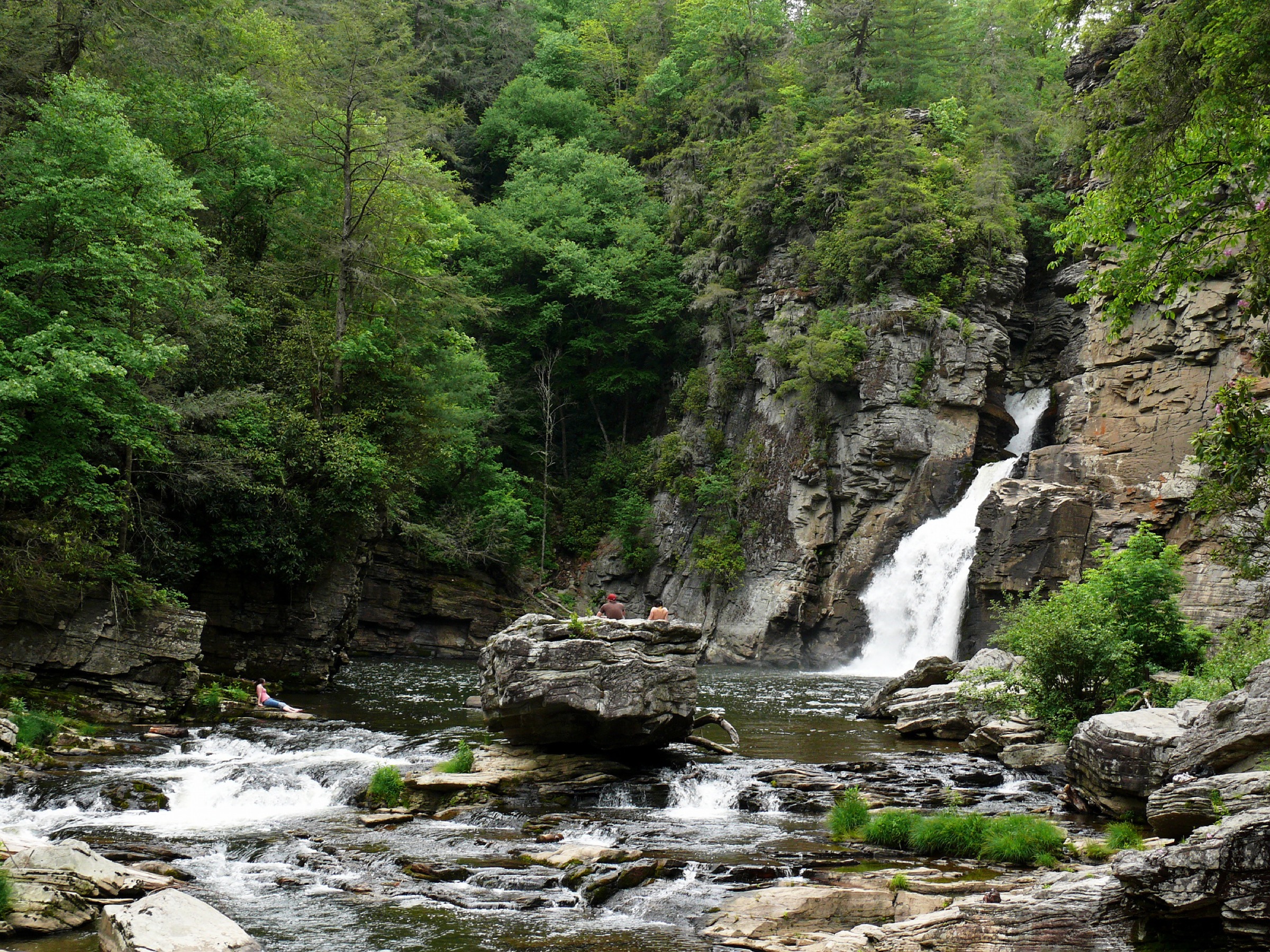
The trail cluster begins at the Linville Falls Visitor Center. Erwins View Trail leads through a sequence of overlooks — the first upper-falls view, Chimney View, Gorge View and Erwins View Overlook. Back at the visitor centre, the Linville Gorge / Plunge Basin trail fork splits: the right fork leads to the Plunge Basin Overlook and the left fork descends toward the bottom-of-falls area. Return to the visitor centre by the same route.
Why it is essential
Linville Falls is the High Country’s essential waterfall and gorge walk. The hike is short compared with Grandfather or Boone Fork, but it delivers multiple views of the falls, the narrow canyon, the Linville River and the start of the Linville Gorge Wilderness. It is also one of the most visitor-recognised natural landmarks on the Blue Ridge Parkway.
Equipment
- Hiking shoes with good traction
- 1.5 L water and food
- Weather layer and sun protection
- Trekking poles for the steeper Plunge Basin / gorge descent
- Ice traction in winter, or avoid icy sections
Hazards and notes
- NPS states that swimming in the Linville River and climbing on the rocks is dangerous and not allowed.
- The Plunge Basin and Linville Gorge trails are strenuous despite their short distance.
- Overlooks and gorge edges have fall hazards; stay behind barriers and on the official trail.
- Blue Ridge Parkway and visitor-centre access can close for weather or storm recovery.
GPX / route file
| Source | URL | Format | Notes |
|---|---|---|---|
| NPS — Linville Falls Hiking Trails | nps.gov | Official description and map link | Official route descriptions, distances and safety notes; no GPX |
| AllTrails — Linville Falls trails | alltrails.com | Third-party track | Do not redistribute AllTrails GPX without licence confirmation |
| Wikimedia Commons — Category: Linville Falls | commons.wikimedia.org | Open-media category | Useful for further photo sourcing; not route geometry |
Further reading
| Source | URL |
|---|---|
| NC State Parks — Grandfather Mountain State Park | ncparks.gov |
| NC State Parks — Grandfather Mountain trails | ncparks.gov |
| NC State Parks — Elk Knob State Park | ncparks.gov |
| NC State Parks — Elk Knob trails | ncparks.gov |
| NPS — Tanawha Trail | nps.gov |
| NPS — Linn Cove Viaduct | nps.gov |
| NPS — Julian Price Park Hiking Trails | nps.gov |
| NPS — Linville Falls Hiking Trails | nps.gov |
| NPS — Blue Ridge Parkway road status and closures | nps.gov |
| Grandfather Mountain — East Side Trails | grandfather.com |
| TEHCC Wiki — Summit Trail (Elk Knob) | tehcc.org |
| Wikimedia Commons — Category: Grandfather Mountain | commons.wikimedia.org |
| Wikimedia Commons — Category: Elk Knob State Park | commons.wikimedia.org |
| OpenStreetMap (ODbL 1.0) | openstreetmap.org |