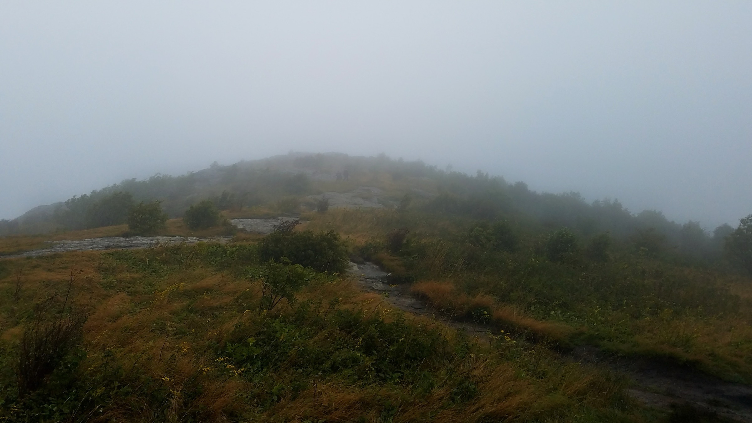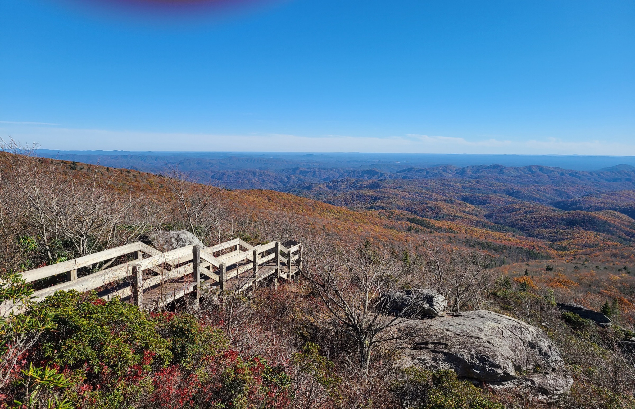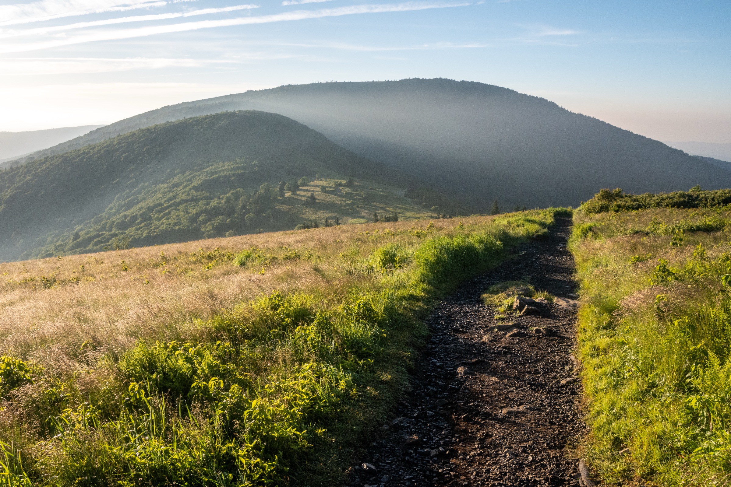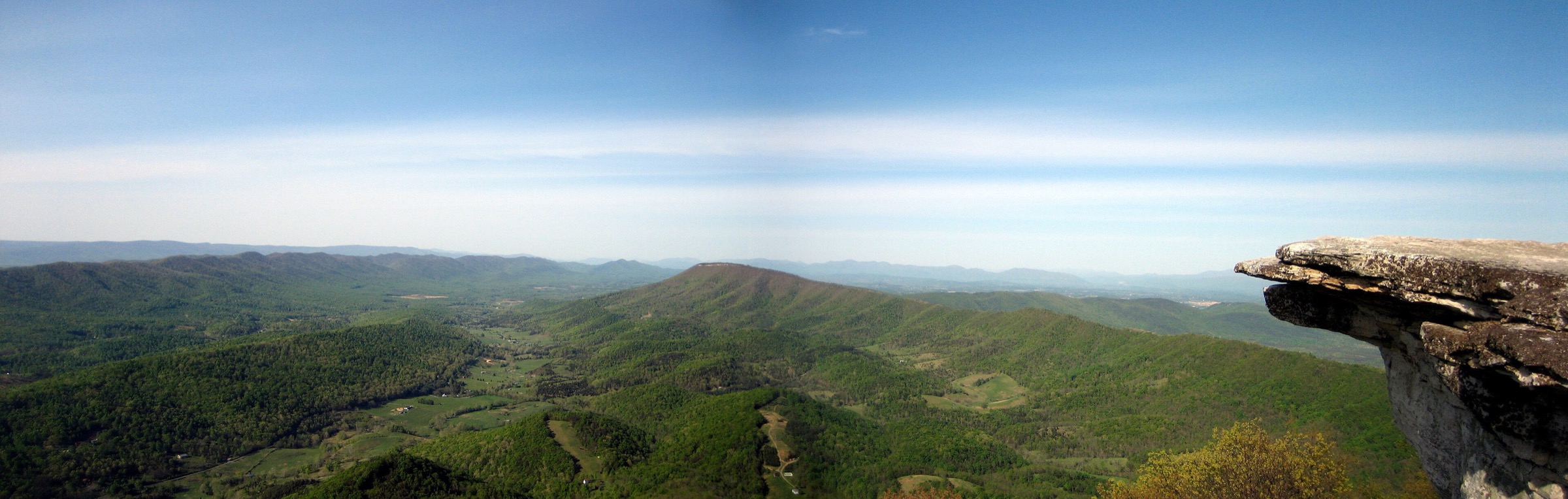
Regional overview
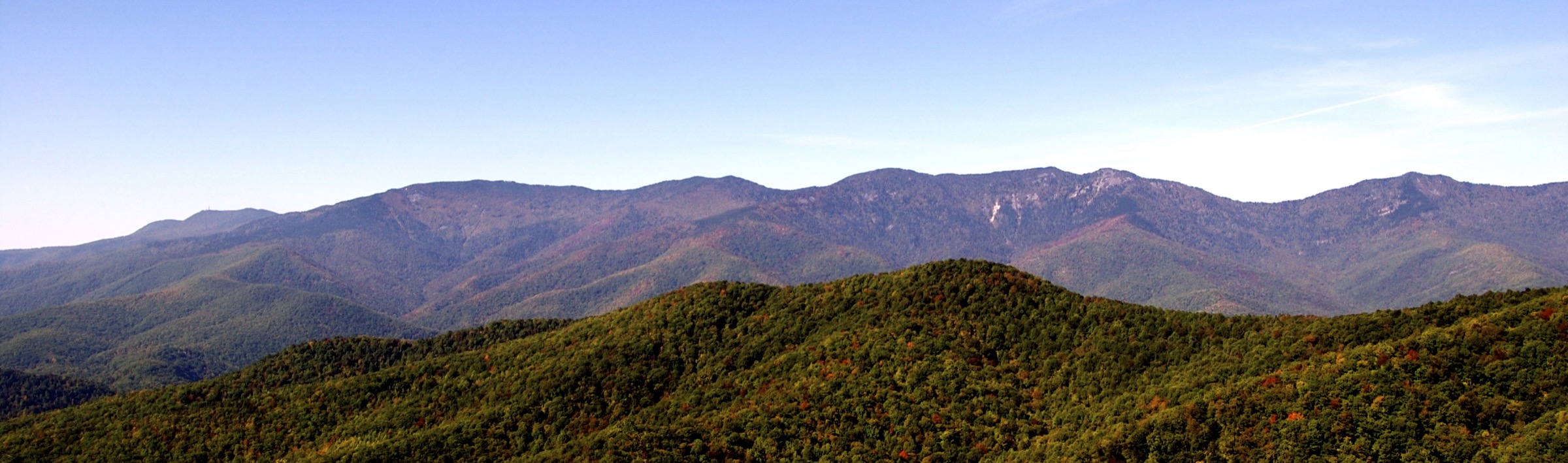
The Black Mountains of western North Carolina form the highest massif in the eastern United States. The hiking character is defined by steep forest climbs from the South Toe River valley, spruce–fir summit forest, rugged ridge walking above 1,800 m, fire-tower lookouts, Parkway overlooks and short waterfall approaches below the crest.
Mount Mitchell State Park and the adjacent Pisgah National Forest are the main access points. The Blue Ridge Parkway and NC 128 give road access to the summit zone, while Black Mountain Campground, South Toe River Road, Walker Knob Overlook and Green Knob Overlook provide lower trailheads. NC State Parks notes that no transportation is available for hikers who climb to Mount Mitchell and that access depends on Parkway conditions.
The terrain is non-technical in normal summer conditions, but the region is physically serious by eastern U.S. standards. The Mount Mitchell Trail and the Black Mountain Crest Trail are long, steep, rocky and weather-exposed. The summit zone is several degrees colder than surrounding towns, and winter or shoulder-season ice can close roads and make trails hazardous. Summer adds thunderstorms, heat at lower trailheads, ticks and limited water on the crest.
Selection rationale
Five hikes represent the essential Black Mountains day-hike range: the highest summit in the eastern United States, the signature Black Mountain Crest / Deep Gap ridge, a fire-tower ridge route, a major Parkway-side ridge walk and a classic South Toe waterfall walk. Crabtree Falls was not selected because the NPS North Carolina trails page still listed the trail as closed in the source checked.
Summary
| # | Hike | Route type | Distance | Gain | Max elevation | Difficulty |
|---|---|---|---|---|---|---|
| 1 | Mount Mitchell from Black Mountain Campground | Out-and-back / loop variant | 17.7–18.7 km | 1,106–1,133 m | 2,037 m | Very strenuous |
| 2 | Black Mountain Crest / Deep Gap from Mount Mitchell | Out-and-back (day) or point-to-point | 12.2 km to Deep Gap; 26.9 km full traverse | ~700–900 m (Deep Gap); 1,602 m (traverse) | 2,037 m | Very strenuous |
| 3 | Green Knob Lookout Trail | Out-and-back or point-to-point | 5.3–9.2 km | ~744 m on common variant | ~1,551 m | Strenuous |
| 4 | Big Butt Trail from Walker Knob Overlook | Out-and-back | 10.1 km | 509 m | ~1,807 m | Moderate to strenuous |
| 5 | Roaring Fork Falls Trail | Out-and-back | 2.1–2.3 km | ~37 m | ~908 m | Easy |
1. Mount Mitchell from Black Mountain Campground
Snapshot
Itinerary
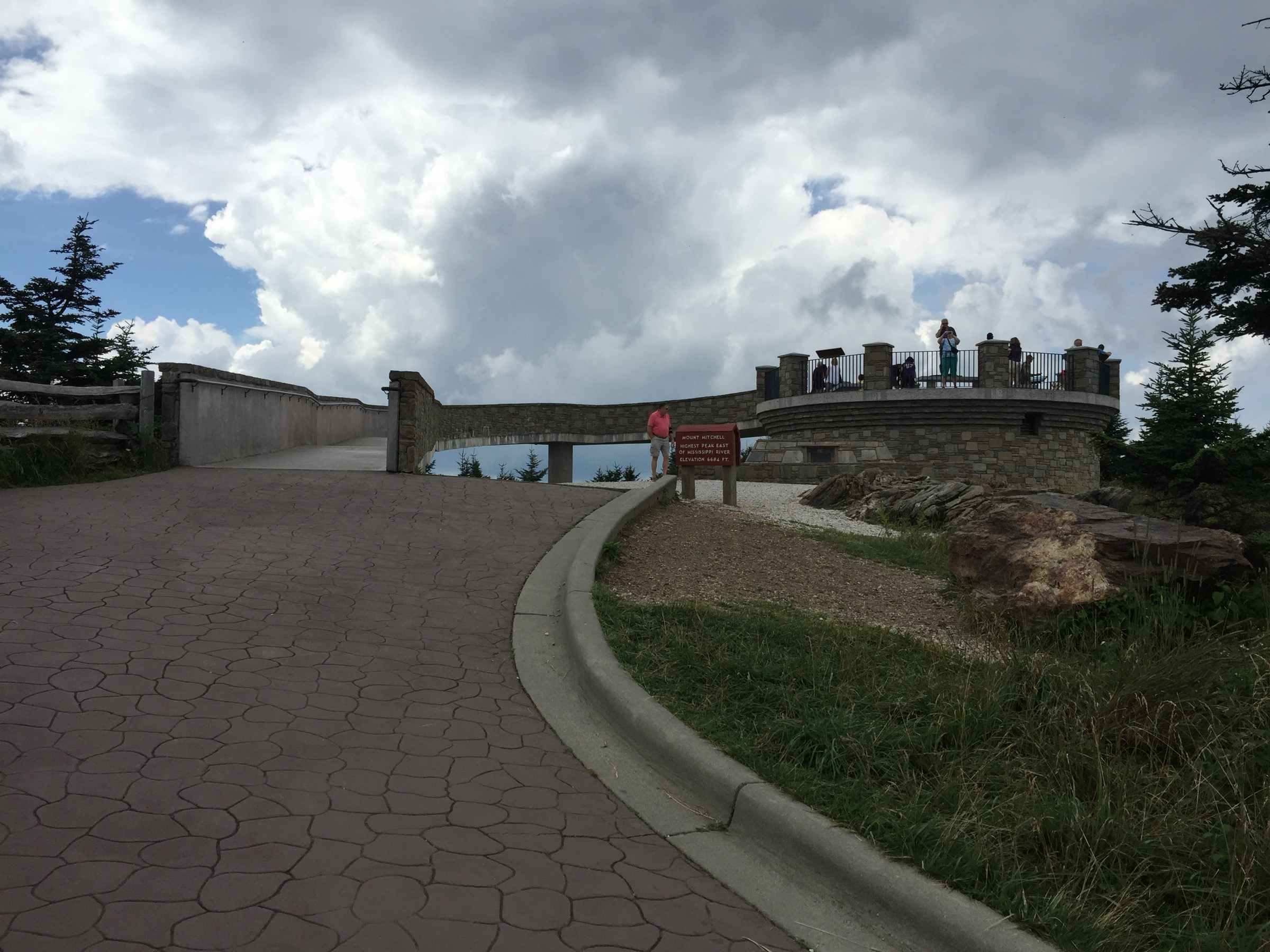
The hike starts near Black Mountain Campground and follows the Mount Mitchell Trail up the South Toe side of the massif, climbing continuously through hardwood forest and then into higher-elevation spruce–fir forest and Mount Mitchell State Park. The route reaches the developed summit zone, where a short paved path leads to the observation deck on the highest point east of the Mississippi River. Return by the same trail, or use the Commissary / Higgins Bald area for a partial loop — check the exact variant against the current state-park and Pisgah National Forest maps before setting off.
Why it is essential
This is the classic foot ascent of Mount Mitchell rather than the road-access summit visit. It gives the full vertical scale of the Black Mountains, from the South Toe valley to the highest summit in the eastern United States.
Equipment
- Sturdy boots and trekking poles
- 2.5–3 L water and food
- Weatherproof shell and a warm summit layer even in summer
- Map or offline route and headtorch for a late finish
- Microspikes for ice or packed snow outside high summer
Hazards and notes
- The climb is long and steep, with more than 1,100 m of ascent on common variants.
- Mount Mitchell can be several degrees colder than nearby towns, and the park often experiences winter road closures.
- NC State Parks notes no hiker transportation; anyone who climbs up must be prepared to hike back down unless a private shuttle has been arranged.
- Blue Ridge Parkway access can change because of weather, ice or storm repairs.
- Pets are allowed on a leash no longer than 1.8 m (6 ft), but not inside buildings.
GPX / route file
| Source | URL | Format | Notes |
|---|---|---|---|
| NC State Parks — Mount Mitchell trails | ncparks.gov | Official listing | Trail length and status; no GPX published |
| NC State Parks — Mount Mitchell area trail map (PDF) | ncparks.gov | Official PDF map | Use for manual route reconstruction |
| AllTrails — Mount Mitchell via Higgins Bald / Commissary Hill | alltrails.com | Third-party track | Do not redistribute AllTrails GPX without licence confirmation |
| Gaia GPS — Mount Mitchell from Black Mountain Campground | gaiagps.com | Third-party track | GPX/KML download shown; reuse licence unresolved |
2. Black Mountain Crest / Deep Gap from Mount Mitchell
Snapshot
Itinerary
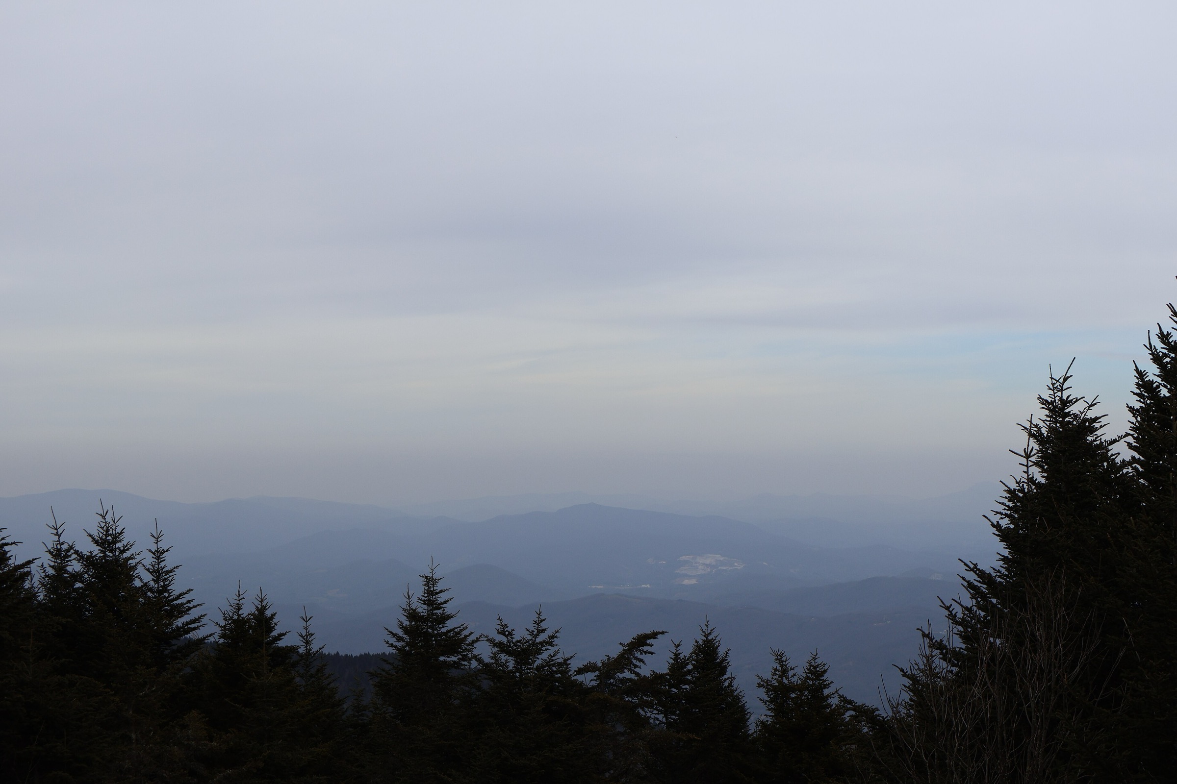
The route leaves the Mount Mitchell summit area on the orange-blazed Black Mountain Crest / Deep Gap Trail and quickly reaches Mount Craig, the second-highest summit in the eastern United States. It continues over a rugged sequence of 1,900–2,000 m summits — Big Tom, Balsam Cone, the Cattail Peak / Potato Hill terrain, then Deep Gap. For a day-hike selection, Deep Gap is the practical turnaround: it keeps the outing within day-hike limits while still sampling the signature crest. The full Black Mountain Crest Trail continues north toward Celo Knob and the Bolens Creek area; that longer point-to-point is a major endurance day or a backpacking route and should not be treated as a casual day hike.
Why it is essential
The Black Mountain Crest is the defining high-ridge walk of the massif. It links several of the highest summits in the Appalachians and shows the rugged, spruce–fir, root-and-rock character that distinguishes the Black Mountains from lower Blue Ridge terrain.
Equipment
- Sturdy boots and trekking poles
- Weatherproof shell, warm layer, gloves or hat outside midsummer
- 2.5–3 L water carried from the start — sources on the ridge are unreliable
- Map, offline route and headtorch
- Microspikes in icy conditions
Hazards and notes
- The crest is rocky, rooty, slow and physically demanding, with repeated climbs rather than one simple traverse.
- Weather changes quickly at 1,800–2,000 m; fog and wind make navigation and temperature management serious.
- Water is limited on the ridge — carry from the start unless a current, reliable source has been verified.
- Camping is restricted in Mount Mitchell State Park; Deep Gap primitive camping appears on the official map but overnight rules should be confirmed.
- The longer northern section toward Bolens Creek is outside the selected day-hike variant and should be treated as a separate, more committing route.
GPX / route file
| Source | URL | Format | Notes |
|---|---|---|---|
| NC State Parks — Mount Mitchell trails | ncparks.gov | Official listing | Trail length; no GPX published |
| NC State Parks — Mount Mitchell area trail map (PDF) | ncparks.gov | Official PDF map | For manual route reconstruction |
| AllTrails — Black Crest Trail and Mount Mitchell | alltrails.com | Third-party track | Do not redistribute AllTrails GPX without licence confirmation |
| Trailforks — Black Mountain Crest to Deep Gap | trailforks.com | Third-party track | Download available; reuse licence unresolved |
3. Green Knob Lookout Trail
Snapshot
Itinerary
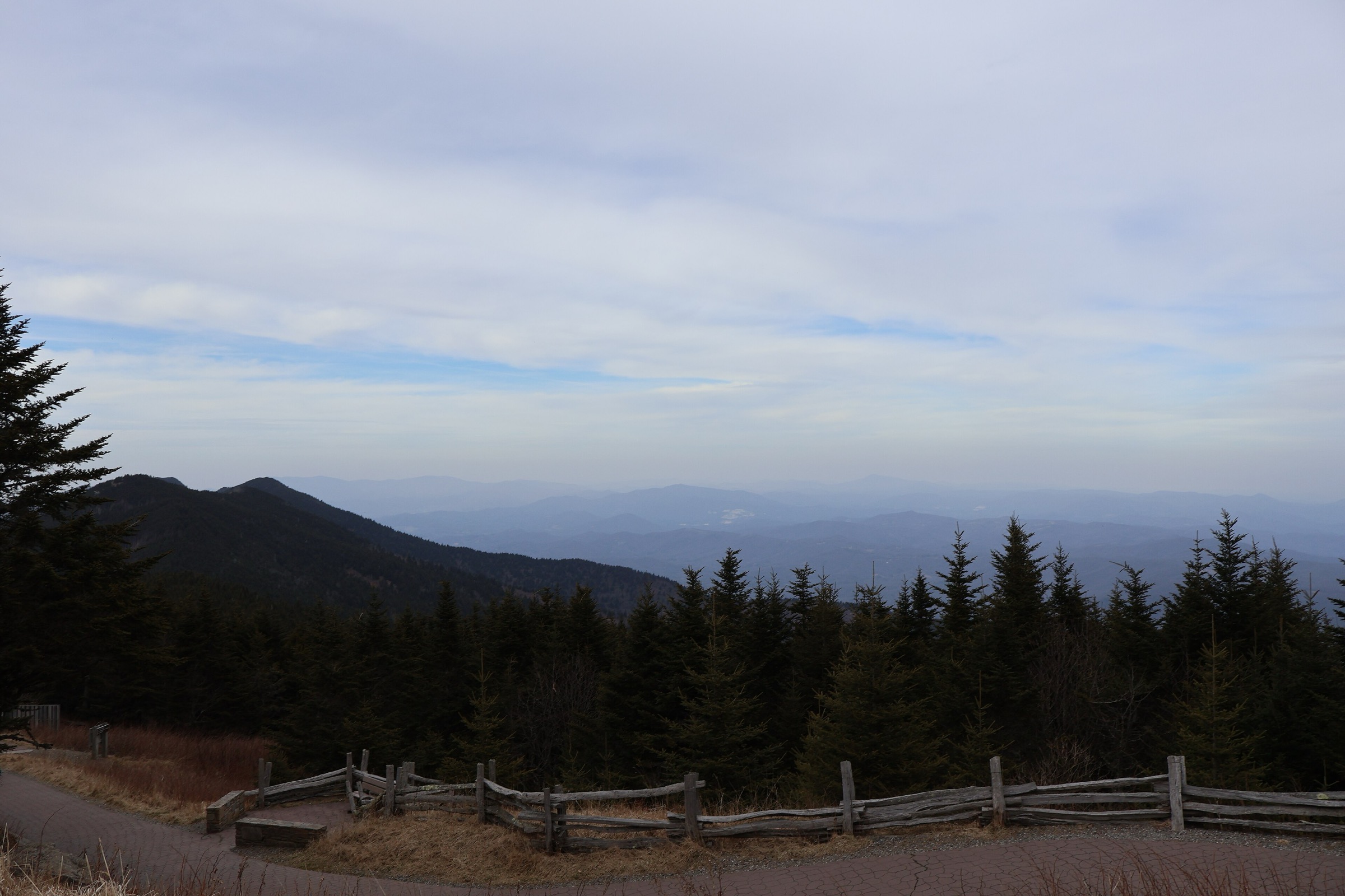
The Green Knob Trail is reached from Green Knob Overlook on the Blue Ridge Parkway or from the Black Mountain Campground side of Pisgah National Forest. It follows forested ridge terrain toward the Green Knob fire lookout, with steep and rocky sections flagged by the Forest Service. For a practical day hike the route can be done as an out-and-back to the tower or as a point-to-point with a private shuttle. The tower area gives a high viewpoint back into the surrounding Black Mountains, the South Toe headwaters and adjacent Parkway ridges.
Why it is essential
Green Knob is the best fire-lookout hike in the Black Mountains selection. It adds a historic lookout and a different angle on the massif from the more developed Mount Mitchell summit area.
Equipment
- Sturdy footwear and trekking poles
- Water and food
- Weather layer and warm layer
- Map or offline route and headtorch
- Microspikes if the Parkway is icy or snow lingers on shaded tread
Hazards and notes
- The Forest Service describes the trail as very steep and rocky, with minor scrambling.
- Multiple possible starts can be confusing without a current map.
- Blue Ridge Parkway access can close in winter or after storms.
- Potable water availability on the route was not verified — carry from the trailhead.
- The figure above is a regional Black Mountains image; no route-exact open-licence photo was verified in this pass.
GPX / route file
| Source | URL | Format | Notes |
|---|---|---|---|
| NPS — Green Knob Overlook | nps.gov | Official page | Access and context; no downloadable geometry |
| USFS — Green Knob Trail #182 | fs.usda.gov | Official recreation entry | Trail length and character; no GPX |
| AllTrails — Green Knob Trail | alltrails.com | Third-party track | Do not redistribute AllTrails GPX without licence confirmation |
4. Big Butt Trail from Walker Knob Overlook
Snapshot
Itinerary
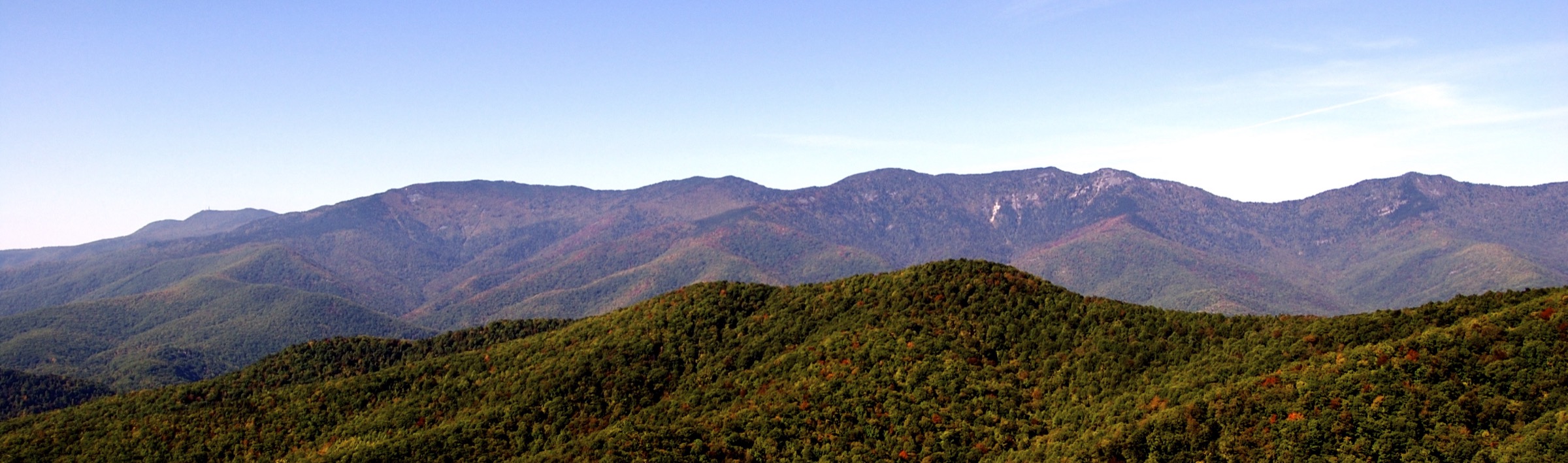
The Big Butt Trail starts near the Walker Knob / Parkway access and follows a high wooded ridge. It reaches Little Butt after a sustained climb and continues toward Big Butt / Yeates Knob, with side viewpoints back toward Mount Mitchell and the high Black Mountains. Most day hikers turn around at Big Butt or an earlier viewpoint. The trail continues beyond the selected route and can be combined with longer Pisgah National Forest routes, but those variants require more planning and are outside this day-hike selection.
Why it is essential
Big Butt gives a less-developed Parkway-side ridge hike with views back to the Mount Mitchell crest. It is an important complement to the summit-road and crest hikes because it shows the western shoulder of the Black Mountains without entering the busiest summit corridor.
Equipment
- Sturdy hiking shoes or boots and trekking poles
- Water and food
- Weather layer and warm layer
- Map or offline route and headtorch
- Microspikes when ice is present
Hazards and notes
- The route is quieter and less developed than the Mount Mitchell summit trails; navigation should not rely on signage alone.
- Blue Ridge Parkway closures can block trailhead access.
- The ridge has exposed rock viewpoints; take care near edges, especially in wet or icy weather.
- Water availability on the selected route was not verified.
- The figure above is a regional Black Mountains image; no route-exact open-licence photo was verified in this pass.
GPX / route file
| Source | URL | Format | Notes |
|---|---|---|---|
| NPS — North Carolina Hiking Trails | nps.gov | Official listing | Parkway access and current status; no geometry |
| NC State Parks — Mount Mitchell area trail map (PDF) | ncparks.gov | Official PDF map | For manual route reconstruction |
| AllTrails — Big Butt Trail | alltrails.com | Third-party track | Do not redistribute AllTrails GPX without licence confirmation |
| Hiking Project — Big Butt Trail #161 | hikingproject.com | Third-party track | Trailhead reference; reuse licence unresolved |
5. Roaring Fork Falls Trail
Snapshot
Itinerary
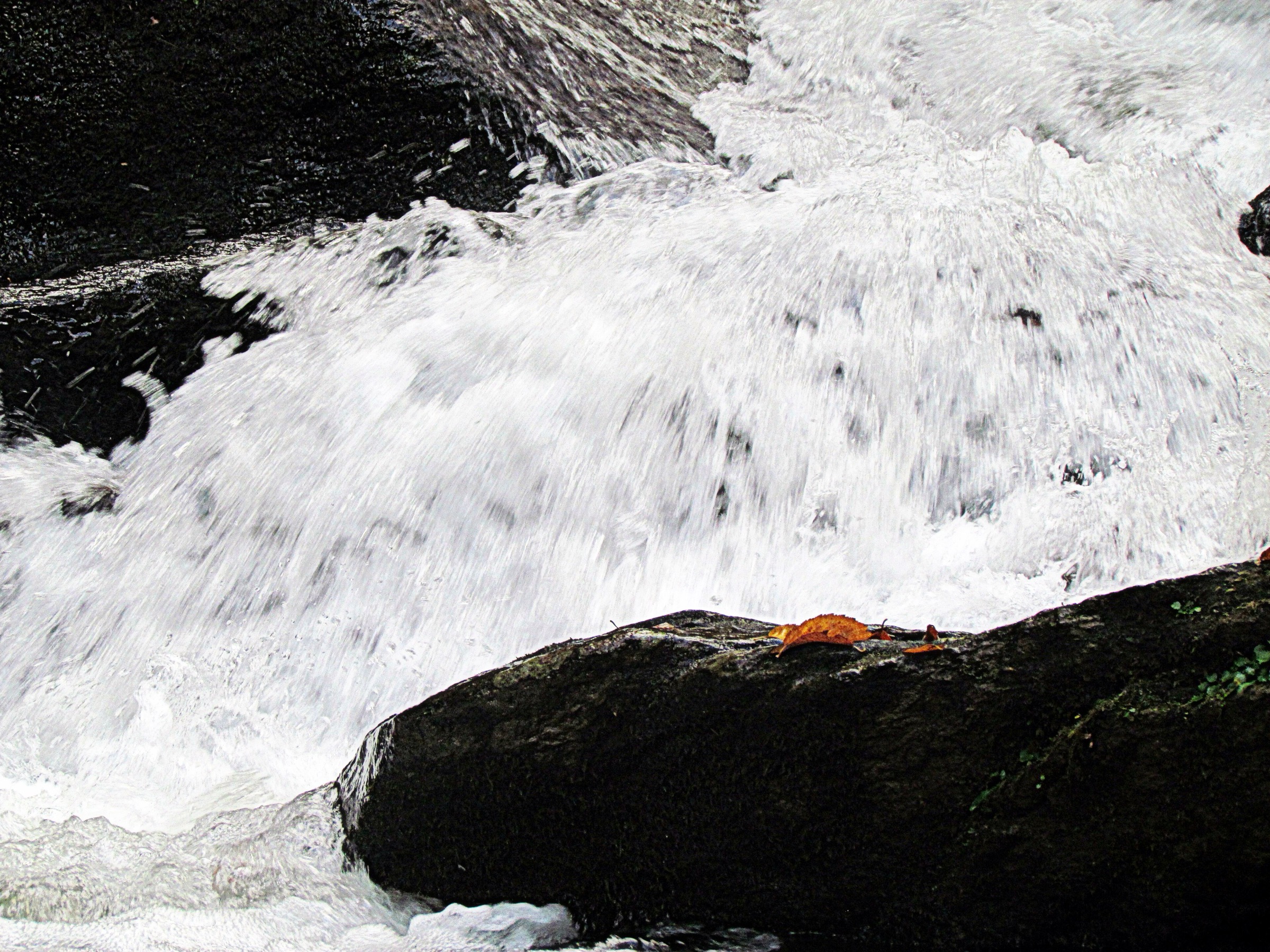
The route starts near the Busick Work Center access road and follows an old roadbed through forest toward Roaring Fork. Near the creek, a short path leads to the base of Roaring Fork Falls, a long sliding cascade in the South Toe / Black Mountain Campground area. Return the same way.
Why it is essential
Roaring Fork Falls adds the Black Mountains’ lower-elevation waterfall character to a selection otherwise dominated by high ridges. It is short, accessible and closely tied to the South Toe trailhead complex used for the major Mount Mitchell climbs.
Equipment
- Hiking shoes with wet-rock traction
- Water and weather layer
- Map or offline route
- Microspikes only in icy conditions
Hazards and notes
- Rocks around waterfalls are slippery — do not climb on the falls.
- The trail is short, but access roads and nearby trails can be affected by storm damage.
- Setrock Creek Falls nearby was listed as temporarily closed by the Forest Service source checked; do not substitute without checking current status.
GPX / route file
| Source | URL | Format | Notes |
|---|---|---|---|
| NC State Parks — Mount Mitchell area trail map (PDF) | ncparks.gov | Official PDF map | For manual route reconstruction |
| AllTrails — Roaring Fork Falls Trail | alltrails.com | Third-party track | Do not redistribute AllTrails GPX without licence confirmation |
| WNC Waterfalls — Roaring Fork Falls | wncwaterfalls.info | Guide-style route page | Trailhead reference; reuse licence unresolved |
Further reading
| Source | URL |
|---|---|
| NC State Parks — Mount Mitchell State Park | ncparks.gov |
| NC State Parks — Mount Mitchell trails | ncparks.gov |
| NC State Parks — Mount Mitchell park map (PDF) | ncparks.gov |
| NC State Parks — Mount Mitchell area trail map (PDF) | ncparks.gov |
| NPS — Blue Ridge Parkway North Carolina Hiking Trails | nps.gov |
| NPS — Green Knob Overlook | nps.gov |
| USFS — Green Knob Trail #182 | fs.usda.gov |
| USFS — Setrock Creek Falls Trail status | fs.usda.gov |
| WNC Waterfalls — Roaring Fork Falls | wncwaterfalls.info |
| Wikimedia Commons — Category: Black Mountains (North Carolina) | commons.wikimedia.org |
| OpenStreetMap (ODbL 1.0) | openstreetmap.org |