Regional overview
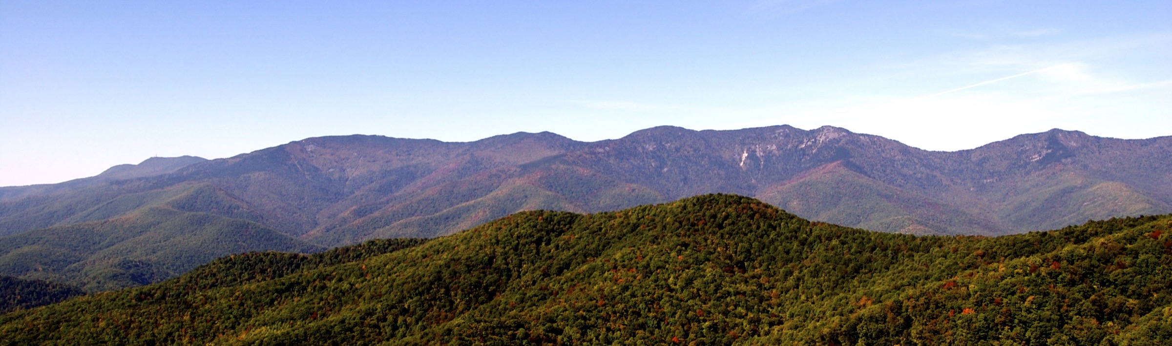
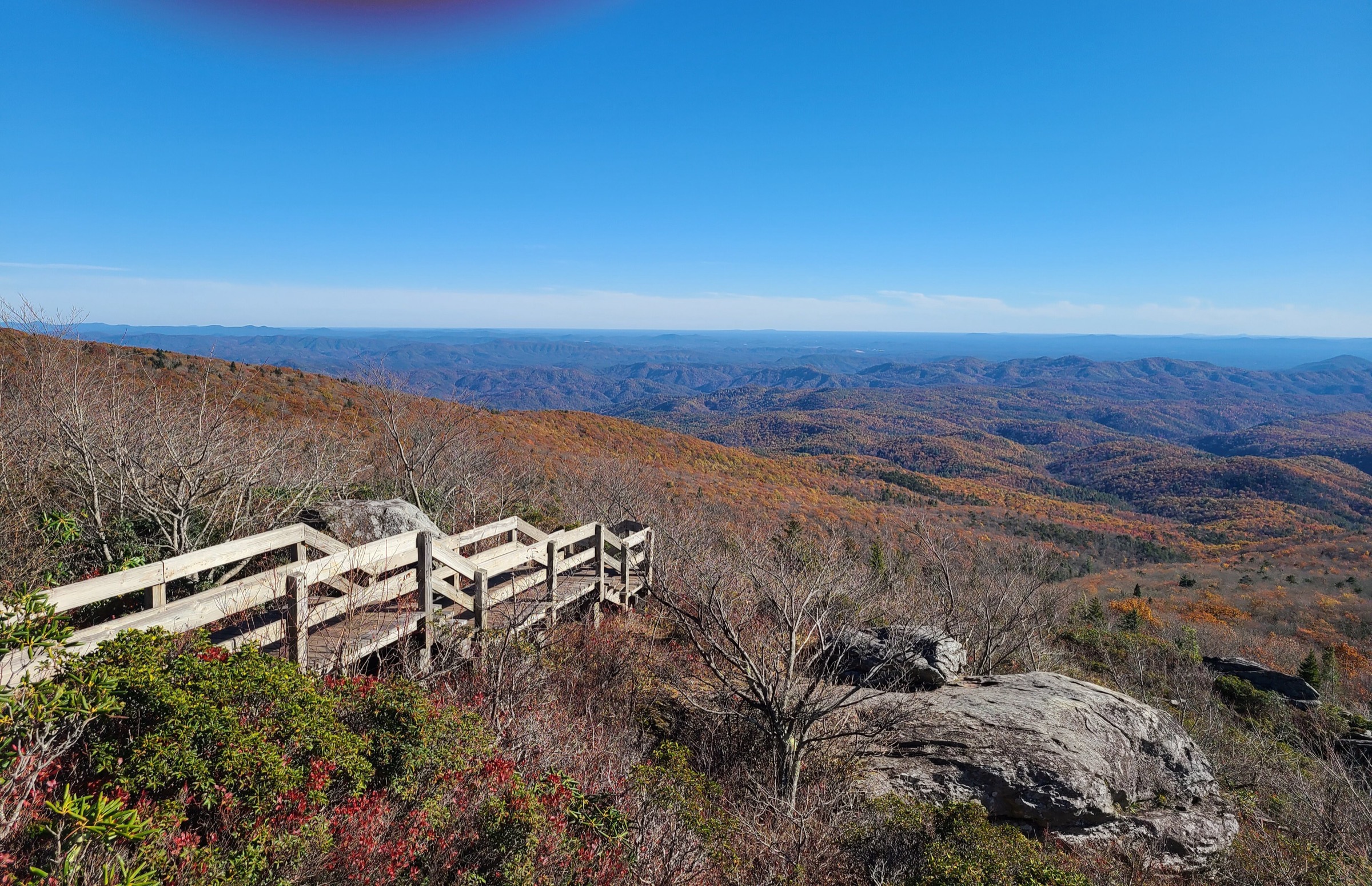
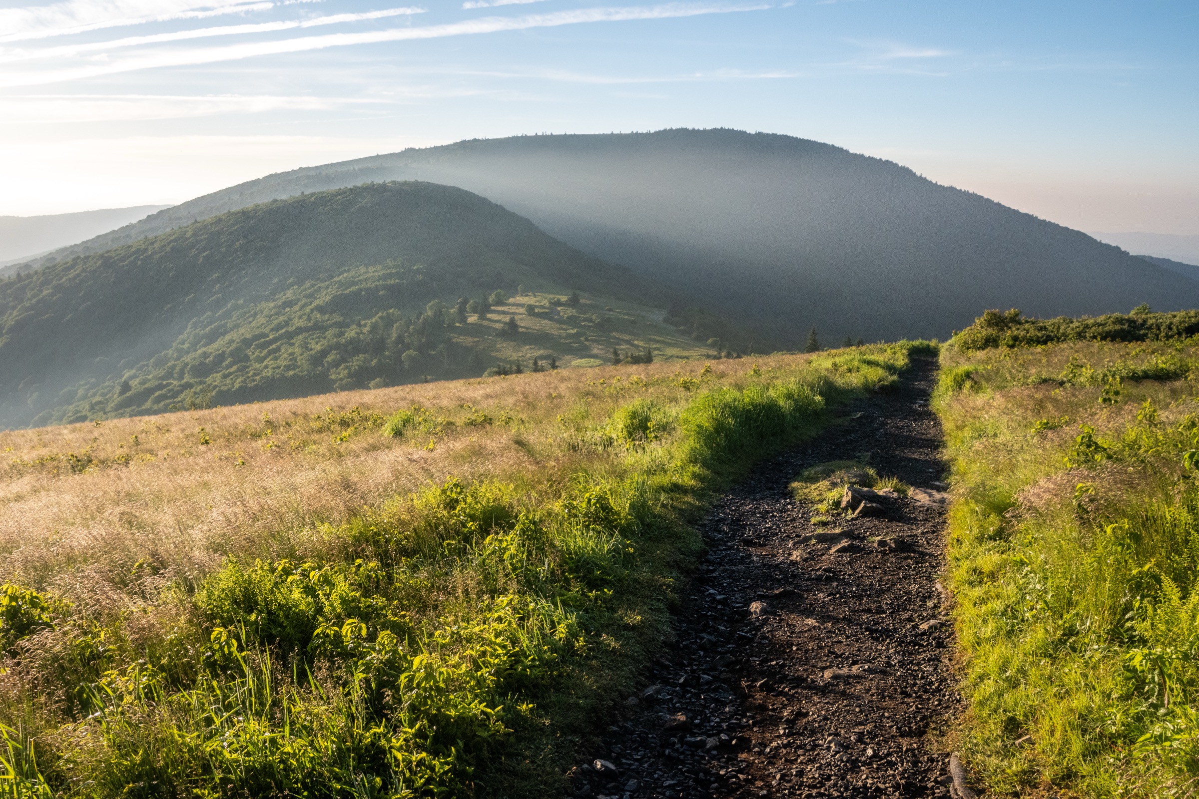
The Great Balsam Mountains form one of the highest and most distinctive sections of the southern Blue Ridge in western North Carolina. The hiking character is defined by high grassy balds, spruce–fir forest, quartz outcrops, waterfall valleys and Blue Ridge Parkway trailheads between Mount Pisgah, Graveyard Fields, Devils Courthouse and Richland Balsam.
The main hiking centres are Black Balsam / Ivestor Gap, Shining Rock Wilderness, Graveyard Fields, Devils Courthouse and the Richland Balsam high-point area. Access is mainly by private vehicle from the Blue Ridge Parkway, FS 816, US 276 and NC 215. Several trailheads are very popular and overflow on weekends and during autumn colour season.
The high routes are non-technical, but weather exposure, fog, mud, fragile alpine-style vegetation and navigation make them more serious than their distances suggest. The Forest Service states that trails inside Shining Rock Wilderness are neither signed nor blazed and that map-and-compass skill is mandatory. NPS and USFS sources also flag Helene-related caution on some Parkway trails, a Pisgah Ranger District bear-canister alert, and the need to check Parkway road status before travel.
See also: North Carolina High Country, Blue Ridge Mountains · Roan Highlands, Blue Ridge Mountains.
Selection rationale
The five hikes cover the Great Balsams’ essential day-hike types: the signature Black Balsam / Tennent bald ridge; the Shining Rock Wilderness quartz outcrop loop; the Graveyard Fields waterfall valley; the short but famous Devils Courthouse summit; and the Richland Balsam spruce–fir loop at the Parkway high point.
Summary
| # | Hike | Route type | Distance | Gain | Max elevation | Difficulty |
|---|---|---|---|---|---|---|
| 1 | Ivestor Gap, Tennent Mountain and Black Balsam Knob Loop | Loop | 6.9 km | ~210 m | ~1,894 m | Moderate |
| 2 | Shining Rock Wilderness Loop via Art Loeb Trail | Loop | 15.8 km | ~412 m | ~1,841 m | Moderate–strenuous |
| 3 | Graveyard Fields Loop with Upper Falls | Loop with waterfall spur | 5.3 km | ~127 m | Unresolved | Moderate |
| 4 | Devils Courthouse Trail | Out-and-back | 1.4–1.6 km | ~85 m | 1,743 m | Moderate–strenuous |
| 5 | Richland Balsam Nature Loop Trail | Loop | 2.3–2.4 km | ~118 m | ~1,954 m | Moderate |
1. Ivestor Gap, Tennent Mountain and Black Balsam Knob Loop
Snapshot
Itinerary
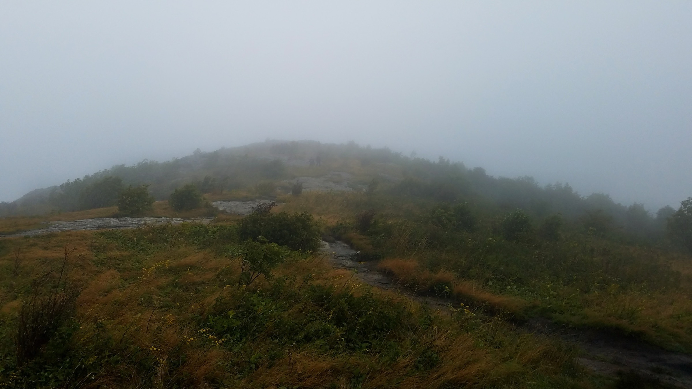
The loop starts at the Black Balsam Trailhead on FS 816. It uses the Art Loeb / bald-ridge corridor to climb Black Balsam Knob, then continues over open high terrain toward Tennent Mountain. The return uses the Ivestor Gap Trail to form a practical loop back toward the trailhead. The route is mostly on open balds and high forest margins rather than a deep valley trail; it is short by distance but exposed to wind, lightning, fog and rapid weather changes.
Why it is essential
Black Balsam and Tennent Mountain are the signature bald-ridge hike of the Great Balsams. The route delivers broad high-elevation views with much less effort than the longer wilderness routes while still representing the region’s most recognisable landscape.
Equipment
- Hiking shoes or boots
- Wind/rain shell and a warm layer
- Water and sun protection
- Offline map — trail junctions on open bald ground are easy to miss in fog
- Trekking poles for the muddier sections
- Traction in winter
Hazards and notes
- The high balds are fully exposed to lightning and strong wind; avoid thunderstorms.
- Fog can make trail junctions and open ridges confusing.
- The USFS Black Balsam Trailhead has no potable water or restrooms.
- Access depends on Blue Ridge Parkway and FS 816 conditions; check current road status.
- A Pisgah Ranger District bear-canister alert was active in the source checked; day hikers should still keep food secure and never leave food unattended.
GPX / route file
| Source | URL | Format | Notes |
|---|---|---|---|
| USFS — Black Balsam Trailhead | fs.usda.gov | Official trailhead / access page | Trailhead and access verification; no downloadable geometry found |
| AllTrails — Ivestor Gap Trail, Tennent Mountain and Black Balsam Knob Loop | alltrails.com | Source-map route page | Secondary route-stat reference; AllTrails terms apply |
| NPS — Blue Ridge Parkway road closures | nps.gov | Official road-status page | Access status; not a route file |
| OpenStreetMap search — Black Balsam Knob | openstreetmap.org | Map geometry cross-check | ODbL 1.0; reusable with attribution |
2. Shining Rock Wilderness Loop via Art Loeb Trail
Snapshot
Itinerary
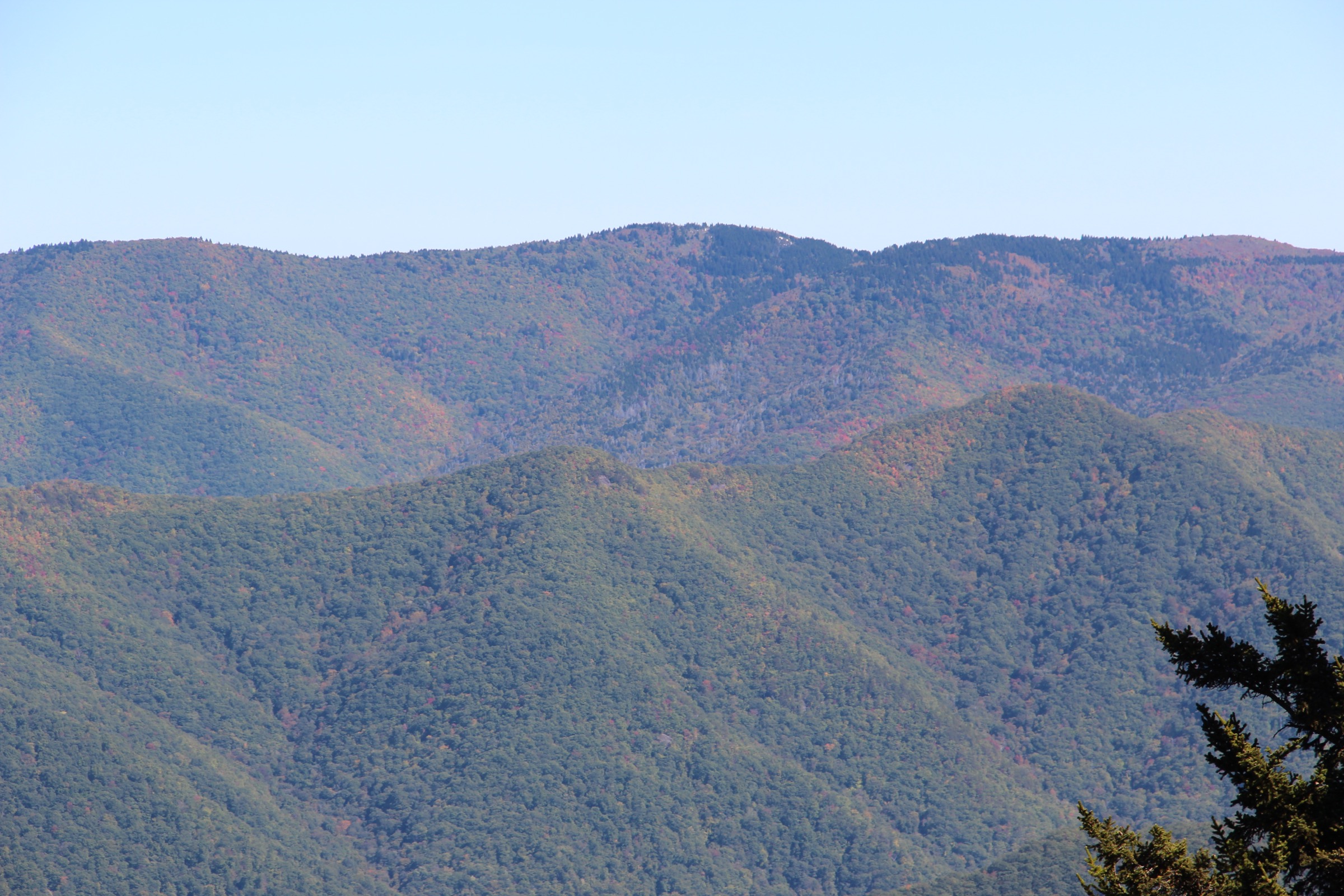
The route enters Shining Rock Wilderness from the Black Balsam / Ivestor Gap side and uses the Art Loeb Trail corridor to reach the Shining Rock area. The highlight is the white quartz outcrop near the crest of Shining Rock Mountain. A loop variant returns by connector trails through high forest and open ridge terrain. The exact loop must be checked carefully before departure, because Shining Rock Wilderness trails are intentionally less signed and less developed than frontcountry Parkway trails.
Why it is essential
Shining Rock is the wilderness centrepiece of the Great Balsams. It combines federally designated wilderness, high spruce–fir and northern-hardwood forest and the unusual white quartz outcrop that gives the area its name.
Equipment
- Sturdy boots
- Map, compass and offline GPS — non-negotiable in this wilderness
- Water, food, weatherproof and warm layers
- Headtorch
- Trekking poles for muddy or eroded sections
Hazards and notes
- The Forest Service states that map, compass and the ability to use both are mandatory for travel in this wilderness.
- Trails are not signed or blazed and may be hard to see.
- Campfires are not allowed in the Shining Rock and Middle Prong Wilderness Areas; group size is capped at 10 and bicycles are prohibited.
- A Pisgah Ranger District bear-canister alert was active in the source checked; day hikers should still keep food secure.
- Fog, storms, mud and indistinct junctions can turn a moderate-distance route into a serious navigation problem.
GPX / route file
| Source | URL | Format | Notes |
|---|---|---|---|
| USFS — Shining Rock Wilderness | fs.usda.gov | Official wilderness / access page | Wilderness restrictions and access context; no downloadable geometry found |
| USFS — Art Loeb Trailhead, Camp Daniel Boone | fs.usda.gov | Official trailhead / access page | Art Loeb access context; no downloadable geometry found |
| AllTrails — Shining Rock Wilderness Loop via Art Loeb Trail | alltrails.com | Source-map route page | Secondary route-stat reference; AllTrails terms apply |
| OpenStreetMap search — Shining Rock Wilderness | openstreetmap.org | Map geometry cross-check | ODbL 1.0; reusable with attribution |
3. Graveyard Fields Loop with Upper Falls
Snapshot
Itinerary
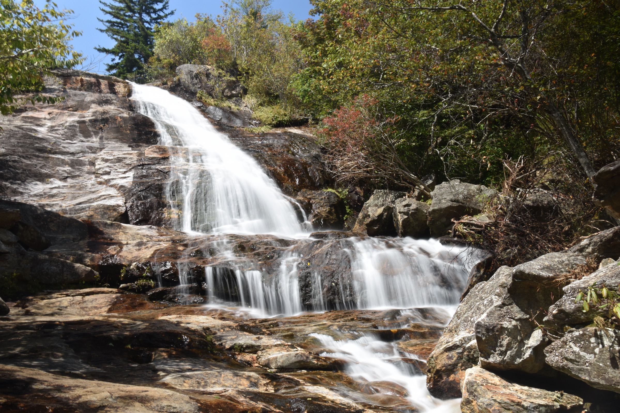
The hike starts at the Graveyard Fields Overlook on the Blue Ridge Parkway. The trail descends from the parking area toward the valley floor, where a short loop follows the Yellowstone Prong drainage and side spurs reach waterfalls. The longer day-hike variant continues to Upper Falls before returning to the main loop and trailhead. The NPS notes that the area is extremely popular, that parking overflows and that social trails have created navigation confusion; the route should stay on established trails.
Why it is essential
Graveyard Fields is the Great Balsams’ classic waterfall-valley hike. It combines high-elevation stream scenery, waterfalls, open valley views and easy Parkway access, and is one of the most recognised stops in the southern Blue Ridge.
Equipment
- Hiking shoes or boots with wet-rock traction
- Water and weather layer
- Warm layer outside summer
- Sun protection
- Offline route
- Headtorch
- Trekking poles for mud and wet steps
Hazards and notes
- NPS warns that waterfall rocks are slippery and that climbing on or near waterfalls is dangerous.
- Social trails can make navigation confusing; remain on established trails.
- Parking fills early during peak periods; NPS has specifically warned against unsafe roadside parking.
- Camping is not allowed in Graveyard Fields; nearby Pisgah National Forest dispersed-camping rules should be checked separately.
- Winter Parkway closures and ice can block access or make the trail hazardous.
GPX / route file
| Source | URL | Format | Notes |
|---|---|---|---|
| NPS — Graveyard Fields | nps.gov | Official place / route context page | Access, hazards and route context; no downloadable geometry found |
| NPS — North Carolina Hiking Trails | home.nps.gov | Official trail table | Trail status and main loop distance; no route geometry found |
| ParkPlanning — Graveyard Fields Trail Project | parkplanning.nps.gov | Official planning page | Area-management context; not a route file |
| AllTrails — Graveyard Upper Falls Trail | alltrails.com | Source-map route page | Secondary route-stat reference; AllTrails terms apply |
| OpenStreetMap search — Graveyard Fields | openstreetmap.org | Map geometry cross-check | ODbL 1.0; reusable with attribution |
4. Devils Courthouse Trail
Snapshot
Itinerary
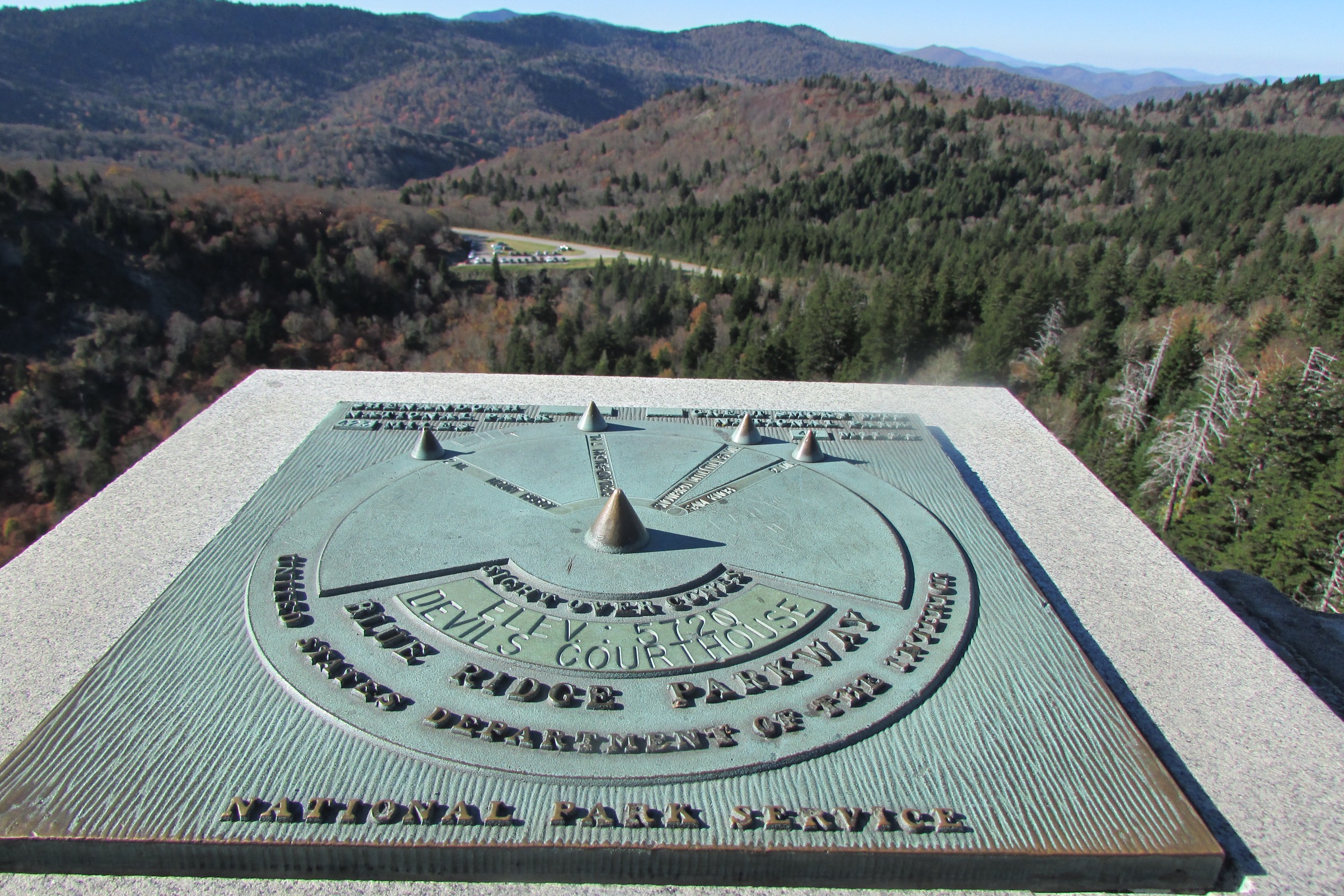
The trail starts from the Devils Courthouse Overlook on the Blue Ridge Parkway. It climbs steeply — first on paved tread, then on a narrower rocky path with wooden steps — to the enclosed summit overlook, and returns by the same route. The summit gives a broad view from one of the Parkway’s most recognisable rock outcrops. The maintained trail and walled summit area are the only public route in the protected closure area.
Why it is essential
Devils Courthouse is a short but iconic Great Balsam summit hike. It combines an unmistakable rock profile, high-elevation ecology and one of the most accessible panoramic viewpoints on the southern Blue Ridge Parkway.
Equipment
- Sturdy shoes
- Water
- Wind / rain layer and a warm layer in cool weather
- Microspikes in icy conditions
Hazards and notes
- NPS states that the trail is steep and that the Parkway is often closed at high elevations in winter.
- The Devils Courthouse area outside the maintained trail and walled summit is closed to visitor use to protect botanical resources.
- Stay behind the summit wall and follow posted signs; no climbing on rock outcrops.
- Pets are allowed on leashes no longer than 6 ft per the NPS route page.
- Recheck current Parkway road status immediately before travel.
GPX / route file
| Source | URL | Format | Notes |
|---|---|---|---|
| NPS — Hike the Devils Courthouse Trail | nps.gov | Official route page | Route, pet, season and access verification; no downloadable geometry found |
| NPS — Devils Courthouse Overlook | nps.gov | Official place page | Summit elevation, ecology and rules context |
| NPS Blue Ridge Parkway Compendium | nps.gov | Official management / rules page | Closure and protection context |
| AllTrails — Devil’s Courthouse Trail | alltrails.com | Source-map route page | Secondary route-stat reference; AllTrails terms apply |
| OpenStreetMap search — Devils Courthouse | openstreetmap.org | Map geometry cross-check | ODbL 1.0; reusable with attribution |
5. Richland Balsam Nature Loop Trail
Snapshot
Itinerary
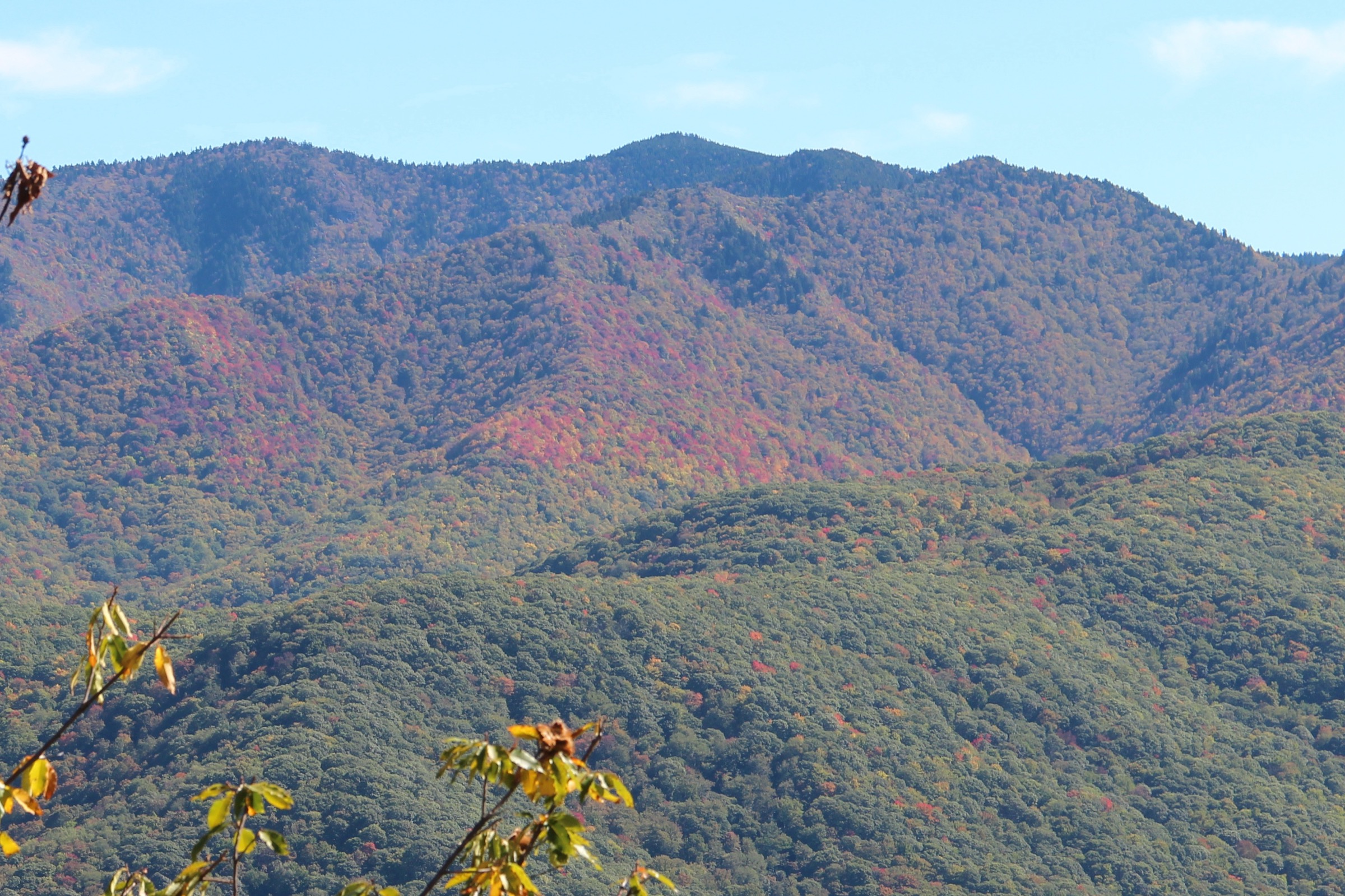
The Richland Balsam Nature Loop starts near the highest stretch of the Blue Ridge Parkway. The loop climbs through red spruce and Fraser fir forest, passes interpretive points and returns to the trailhead. The nearby Richland Balsam Overlook marks the Parkway motor road’s highest elevation at 6,053 ft (1,845 m).
Why it is essential
Richland Balsam represents the Great Balsams’ high spruce–fir ecology in a compact, accessible loop. It is also tied to the Parkway’s highest road elevation, making it an important geographic and ecological stop in the region.
Equipment
- Hiking shoes
- Water
- Rain / wind layer and a warm layer
- Sun protection
- Traction in winter or shoulder-season ice
Hazards and notes
- Short but at high elevation; weather is often cool, windy, wet or foggy.
- NPS notes balsam woolly adelgid impacts on the Fraser fir forest.
- Parkway access may close during ice, snow or storm repairs.
- Stay on the trail to protect fragile high-elevation vegetation.
GPX / route file
| Source | URL | Format | Notes |
|---|---|---|---|
| NPS — Richland Balsam Overlook | home.nps.gov | Official place / access page | Parkway high-point and ecology context |
| NPS — North Carolina Hiking Trails | home.nps.gov | Official trail table | Trail distance and status |
| AllTrails — Richland Balsam Nature Loop Trail | alltrails.com | Source-map route page | Secondary route-stat reference; AllTrails terms apply |
| OpenStreetMap search — Richland Balsam | openstreetmap.org | Map geometry cross-check | ODbL 1.0; reusable with attribution |
Further reading
| Source | URL |
|---|---|
| USFS — Pisgah National Forest | fs.usda.gov |
| USFS — Black Balsam Trailhead | fs.usda.gov |
| USFS — Shining Rock Wilderness | fs.usda.gov |
| USFS — Art Loeb Trailhead, Camp Daniel Boone | fs.usda.gov |
| NPS — Blue Ridge Parkway | nps.gov |
| NPS — Blue Ridge Parkway North Carolina Hiking Trails | home.nps.gov |
| NPS — Graveyard Fields | nps.gov |
| NPS — Hike the Devils Courthouse Trail | nps.gov |
| NPS — Devils Courthouse Overlook | nps.gov |
| NPS — Richland Balsam Overlook | home.nps.gov |
| NPS — Blue Ridge Parkway road status and closures | nps.gov |
| Wikimedia Commons — Category: Black Balsam Knob | commons.wikimedia.org |
| Wikimedia Commons — Category: Shining Rock | commons.wikimedia.org |
| Wikimedia Commons — Category: Richland Balsam | commons.wikimedia.org |
| OpenStreetMap (ODbL 1.0) | openstreetmap.org |
Missing data / follow-up work
- No official downloadable GPX or KML files were found for any of the five hikes.
- Black Balsam / Tennent and Shining Rock loop geometry should be rebuilt from an independently created GPX before publication.
- The Graveyard Fields maximum elevation for the exact Upper Falls loop variant remains unresolved.
- NPS / USFS closure and road-status pages should be rechecked immediately before field use, especially after Helene-related repairs and winter weather.
- NPS public-domain image status for Devils Courthouse and Graveyard Fields appears compatible with reuse under NPS guidance, but exact asset reuse should be reconfirmed before commercial publication of any NPS-hosted asset (Commons alternates are used here).