Regional overview
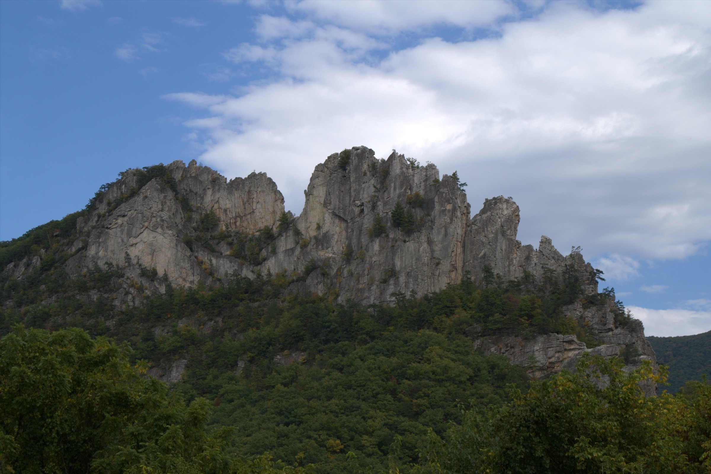
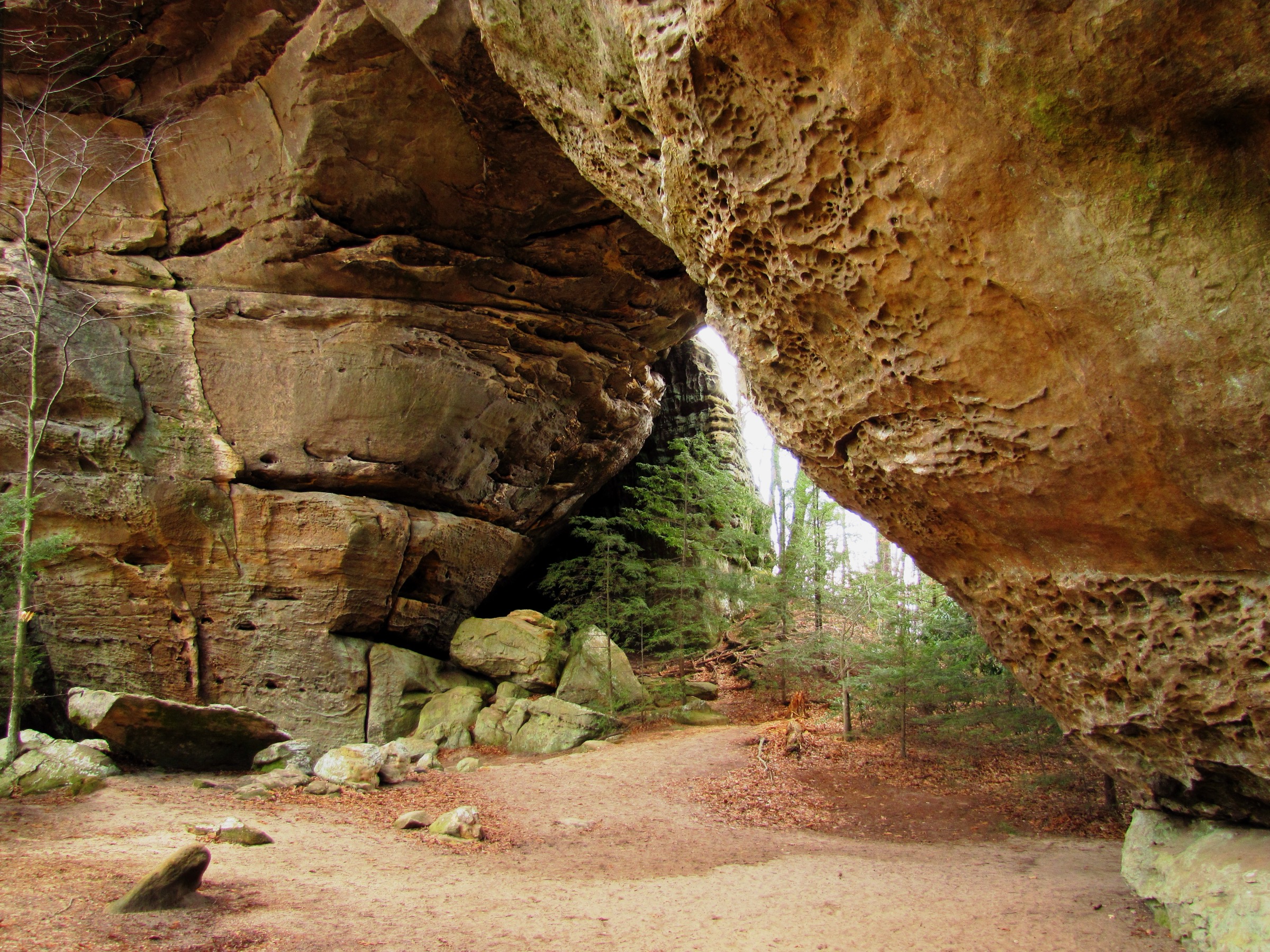
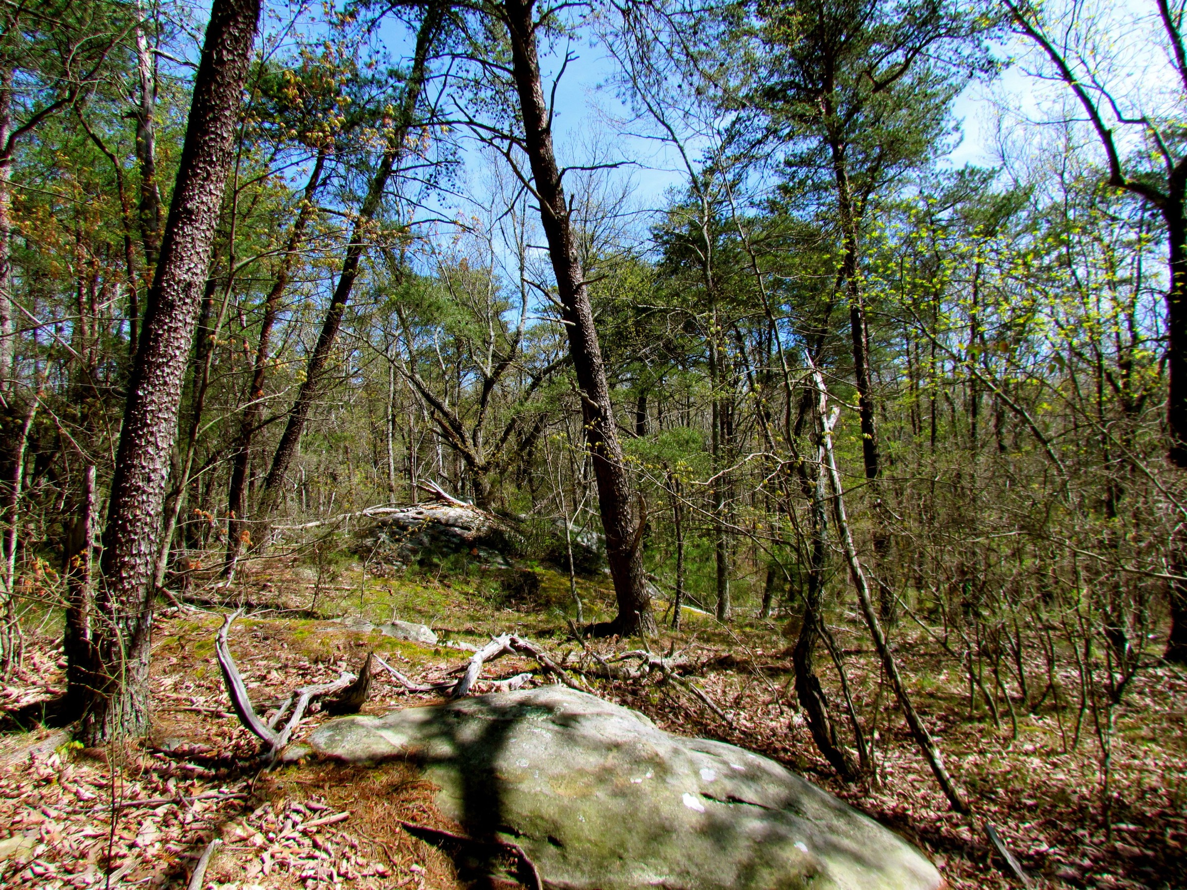
Dolly Sods and Canaan Valley are the high, wet, wind-exposed heart of the West Virginia Allegheny Front. The hiking character is defined by heath barrens, red spruce, boggy old railroad grades, sandstone views, tannin-dark streams, waterfall gorges and broad valley views. Elevations are modest by western standards, but weather, mud, navigation and stream crossings can make routes serious.
The region includes Dolly Sods Wilderness, Canaan Valley Resort State Park, Canaan Valley National Wildlife Refuge, Canaan Mountain Backcountry and Blackwater Falls State Park. Access is mostly by private vehicle on paved and forest roads. Roads to Dolly Sods can be seasonally closed or rough, and trail conditions are often wet. Official route files were not found for most hikes; official agency maps and secondary route-source pages are listed under each entry.
See also: Maryland and West Virginia Appalachians · Shenandoah and Northern Blue Ridge.
Selection rationale
The five hikes cover the region’s essential terrain: an easy high-plateau Dolly Sods walk, a longer Red Creek wilderness route, the classic Rohrbaugh Plains viewpoint trail, Canaan Valley’s Bald Knob overlook and the Blackwater Falls / Elakala / Lindy Point waterfall-and-canyon cluster. The set balances wilderness character with the accessible state-park and valley viewpoints that define the Canaan area.
Summary table
| # | Hike | Country | Route type | Distance | Gain | Max elevation | Difficulty |
|---|---|---|---|---|---|---|---|
| 1 | Dolly Sods — Sundew Trail high-plateau walk | USA | Out-and-back / short loop | 3.9 km | Unresolved | >1,200 m plateau | Easy to moderate |
| 2 | Blackbird Knob Trail to Red Creek | USA | Out-and-back | 16.9 km | 471 m | Unresolved | Strenuous |
| 3 | Rohrbaugh Plains Trail | USA | Out-and-back | 11.6 km | Unresolved | Unresolved | Moderate |
| 4 | Bald Knob Trail, Canaan Valley Resort State Park | USA | Out-and-back / lift-assisted | 3.4–8.0 km | ~244 m | 1,313 m | Moderate |
| 5 | Blackwater Falls, Elakala Falls and Lindy Point cluster | USA | Trail cluster | ~3.7 km | Unresolved | ~914 m at Lindy Point | Easy to moderate |
1. Dolly Sods — Sundew Trail high-plateau walk
Snapshot
Itinerary
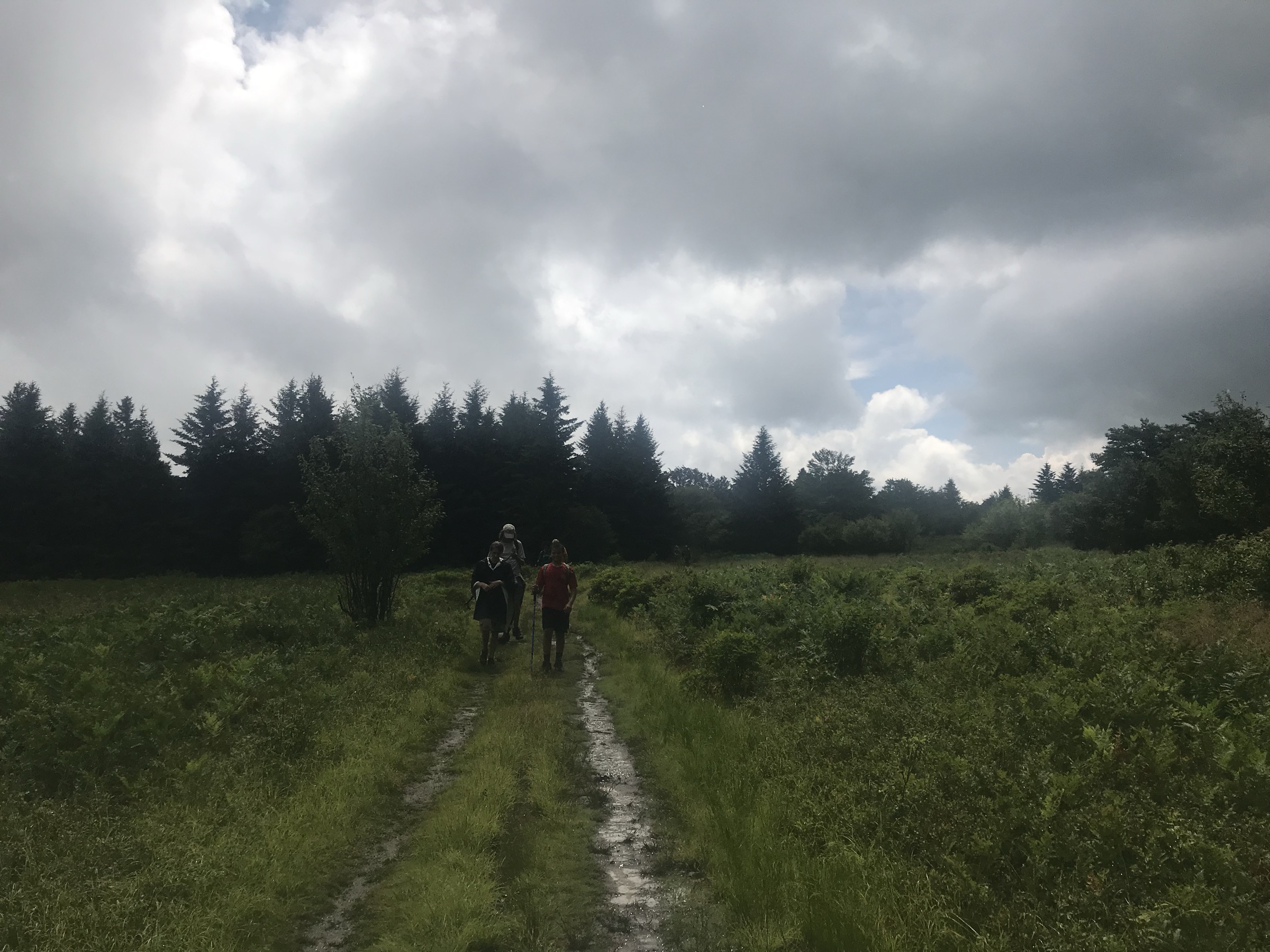
The Sundew Trail gives a compact sample of the northern Dolly Sods high plateau. From the signed access point, follow the trail across open heath, boggy ground, red spruce patches and wet upland terrain. Return by the same line or complete the mapped short loop where current signage and the USFS map confirm the connection.
Why it is essential
This is the most accessible way to experience the unusual high-country ecology that makes Dolly Sods famous: open views, bog-and-heath plant communities and a landscape the Forest Service compares to northern Canada.
Equipment
- Waterproof hiking shoes or boots
- Rain shell and warm layer
- Water and snacks
- Paper map and offline GPS
- Insect and tick protection
- In cold seasons: hat, gloves and traction if icy
Hazards and notes
- Dolly Sods trails can be muddy and wet even in settled weather.
- Weather can change quickly on the exposed plateau.
- Military ordnance hazard: do not touch, move or dig near suspicious objects; leave the area and notify the Forest Service.
- Groups over 10 people are prohibited in the wilderness.
- Mountain bikes and mechanical devices are not allowed on wilderness trails.
GPX / route file
| Source | URL | Format | Notes |
|---|---|---|---|
| USFS — Dolly Sods Wilderness | fs.usda.gov | Official HTML trail list and map links | Route, restriction and hazard verification; no downloadable GPX/KML found |
| Wikimedia Commons — Dolly Sods hiking trail map | commons.wikimedia.org | Public-domain USFS trail map copy | Useful for manual route reconstruction; not a route file |
Sources
2. Blackbird Knob Trail to Red Creek
Snapshot
Itinerary
Follow Blackbird Knob Trail across the Dolly Sods high country toward Red Creek. The route crosses open patches, wet forest, rocky tread and stream crossings before reaching the Red Creek drainage. Turn around at the selected Red Creek point or the junction used by the source route, then retrace the same line to the trailhead.
Why it is essential
Blackbird Knob to Red Creek is a classic Dolly Sods day outing because it links the exposed upland plateau with the wilderness stream corridor. It gives a fuller wilderness experience than the short high-plateau walks while remaining feasible as a long day.
Equipment
- Waterproof boots
- Rain shell and warm layer
- Food and either water treatment or carried water
- Paper map, compass and offline GPS
- Headtorch and first aid kit
- Gaiters useful in wet sections
Hazards and notes
- Stream crossings can become unsafe during high water.
- Mud, rocks and braided unofficial paths complicate navigation.
- Weather can change quickly; fog and wind make the open plateau confusing.
- Wilderness group-size and mechanical-device restrictions apply.
- Historic military ordnance hazard — do not touch suspicious objects.
GPX / route file
| Source | URL | Format | Notes |
|---|---|---|---|
| USFS — Dolly Sods Wilderness | fs.usda.gov | Official HTML trail list and map links | Official component trail lengths and rules; no GPX/KML found |
| AllTrails — Blackbird Knob Trail to Red Creek Trail | alltrails.com | Source route map | Distance, gain and route type checked; GPX export not retrieved |
Sources
3. Rohrbaugh Plains Trail
Snapshot
Itinerary
The route starts at the Rohrbaugh trailhead near Forest Road 75 and follows Rohrbaugh Plains Trail across forest, heath, wet ground and open viewpoint terrain. Turn around at the end of the official trail segment or earlier if high water, fog or weather make onward travel unwise.
Why it is essential
Rohrbaugh Plains is one of the strongest day-hike samples of southern Dolly Sods: open upland views, spruce and heath vegetation and a quieter wilderness feel than the busiest northern trailheads.
Equipment
- Waterproof boots
- Rain shell and warm layer
- Food, water treatment or carried water
- Paper map, compass and offline GPS
- Headtorch and first aid kit
Hazards and notes
- Wet sections and stream crossings can be problematic in high water.
- Old roads and rail grades can make navigation confusing.
- Weather can change quickly at high elevation.
- Wilderness restrictions and ordnance warnings apply.
GPX / route file
| Source | URL | Format | Notes |
|---|---|---|---|
| USFS — Dolly Sods Wilderness | fs.usda.gov | Official HTML trail list and map links | Route, restriction and hazard verification; no downloadable GPX/KML found |
| Wikimedia Commons — Dolly Sods hiking trail map | commons.wikimedia.org | Public-domain USFS trail map copy | Useful for manual route reconstruction; not a route file |
Sources
4. Bald Knob Trail, Canaan Valley Resort State Park
Snapshot
Itinerary
From the ski area overflow parking or chairlift top, follow Bald Knob Trail through open meadows and bird-rich upland habitat to Bald Knob. The summit gives a broad view over Canaan Valley and the surrounding Allegheny ridges. Return by the same route unless using a chairlift-assisted, park-approved variant.
Why it is essential
Bald Knob is the clearest Canaan Valley viewpoint in the state-park trail system. It complements the wetland and wilderness routes by showing the valley’s broad high-basin shape from above.
Equipment
- Hiking shoes or boots
- Water
- Weather layer and sun protection
- Warm layer for windy summit conditions
- Traction and current park guidance in icy shoulder seasons
Hazards and notes
- The official page describes an easy-to-moderate 2.5 mile trail segment; exact hike distance depends on whether hikers start at the overflow lot or use the chairlift.
- Open meadow and summit sections can be windy and exposed.
- Resort operations, chairlift schedules and trail access should be checked before travel.
GPX / route file
| Source | URL | Format | Notes |
|---|---|---|---|
| WV State Parks — Canaan Valley Resort trails | wvstateparks.com | Official HTML trail description and map link | Official trail length, difficulty and summit context; no GPX found |
| AllTrails — Bald Knob | alltrails.com | Secondary source-map | Secondary route geometry; reuse not confirmed |
Sources
5. Blackwater Falls, Elakala Falls and Lindy Point trail cluster
Snapshot
Itinerary
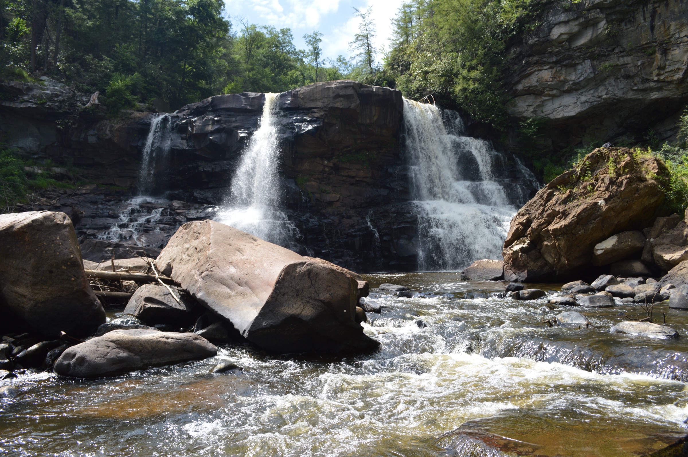
This entry combines several short official Blackwater Falls State Park trails. Visit Blackwater Falls by the Boardwalk Trail if the stairs are suitable, or by the paved Gentle Trail for the easier overlook. From the lodge area, use the Elakala Trail to the bridge and canyon-rim section above Elakala Falls. Then use the short Lindy Point Trail from its small parking area to reach the Blackwater Canyon overlook.
Why it is essential
Blackwater Falls State Park is the region’s most concentrated waterfall and canyon-rim hiking area. Blackwater Falls, Elakala Falls and Lindy Point together represent the amber-water streams, spruce and hemlock atmosphere and deep canyon terrain of the Canaan Valley edge.
Equipment
- Grippy walking shoes or hiking shoes
- Water and weather layer
- Map
- Warm clothing for exposed overlooks
- Microspikes useful in winter when boardwalks, stairs or paths are icy
Hazards and notes
- Blackwater Falls Boardwalk includes more than 200 steps.
- Waterfall rocks, boardwalks, stairs and canyon-rim surfaces can be slippery.
- Follow signed trails and viewpoints; waterfall and canyon edges are hazardous.
- Lindy Point has a small parking area and may require a longer winter approach when snow affects access.
GPX / route file
| Source | URL | Format | Notes |
|---|---|---|---|
| WV State Parks — Blackwater Falls trails | wvstateparks.com | Official HTML trail descriptions | Component trail verification; not a route geometry file |
| WV State Parks — Blackwater Falls map PDF | wvstateparks.com | Official PDF park map | Manual route reconstruction; no GPX/KML found |
Sources
Further reading
- USFS — Dolly Sods Wilderness
- USFS — Canaan Mountain Backcountry
- WV State Parks — Canaan Valley Resort trails
- WV State Parks — Blackwater Falls trails
- US FWS — Hiking at Canaan Valley National Wildlife Refuge
- US FWS — CVNWR trail map
Missing data / follow-up work
- No official downloadable GPX/KML file was found for the five routes in this pass.
- Dolly Sods loop variants need manual GPX creation from current USFS maps and/or field-verified OSM data.
- Bald Knob needs exact current walking-line confirmation because chairlift and overflow-parking variants change the distance.
- Elevation gain / loss remains unresolved for several routes.
- No licence-compatible route-specific image was found for Bald Knob.
- Public transport was not verified.