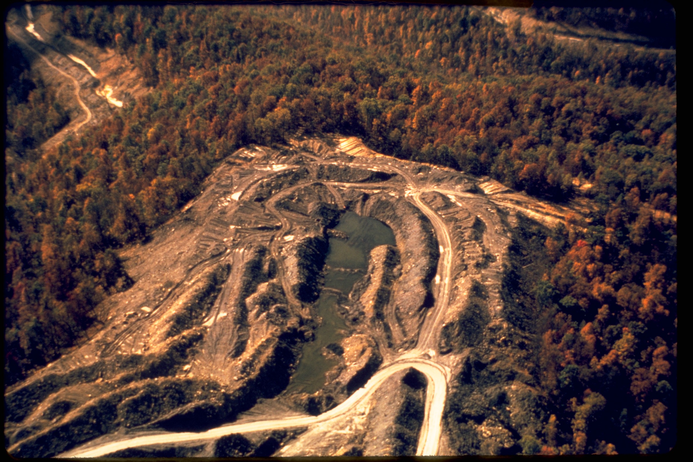
Regional overview
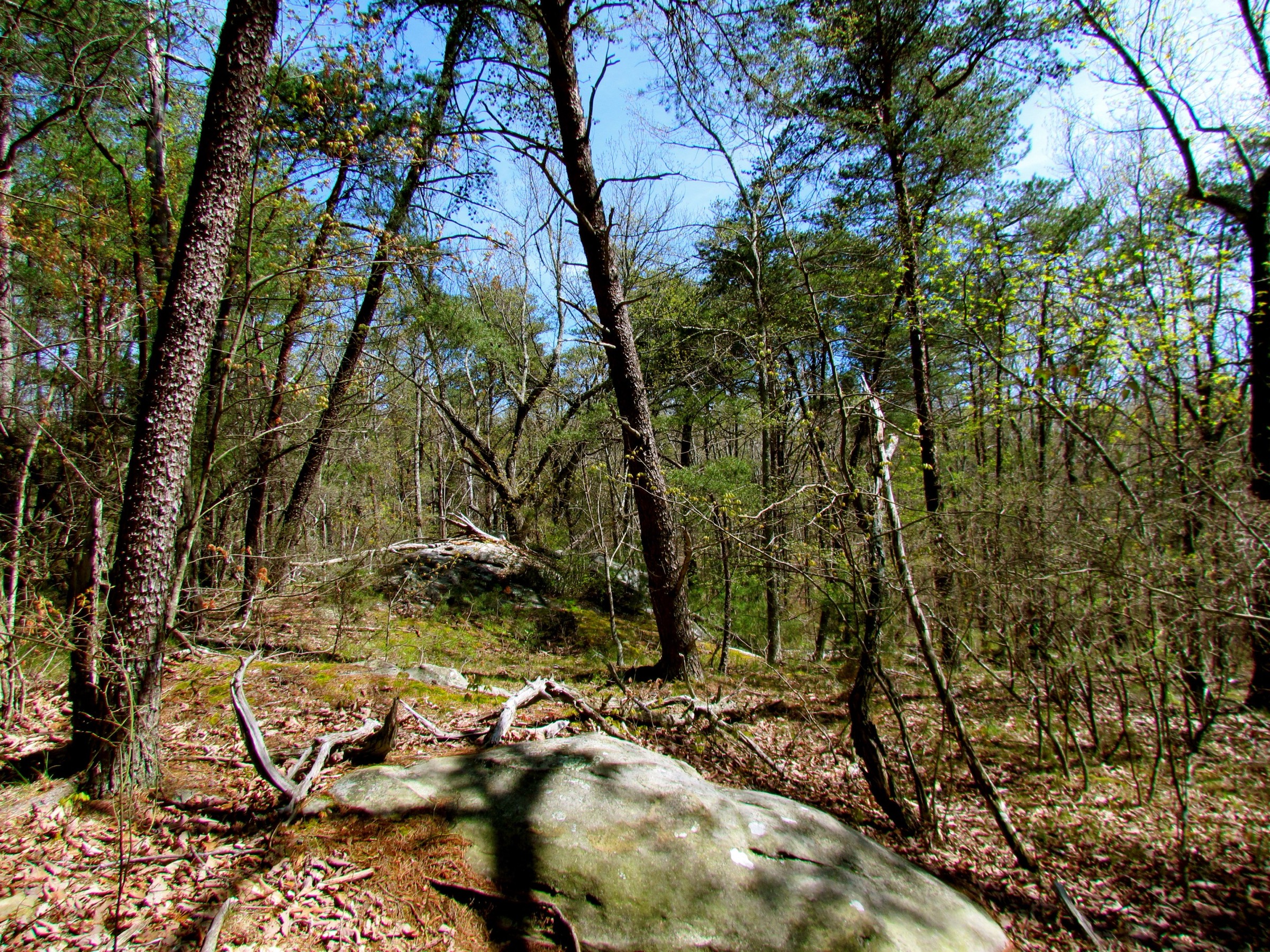
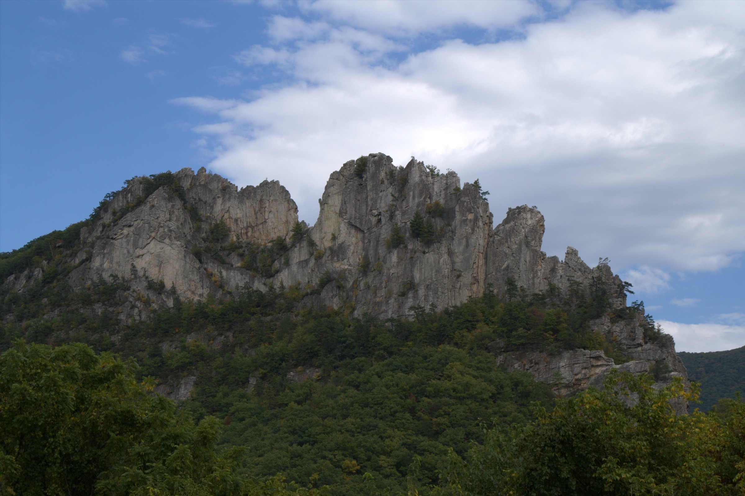
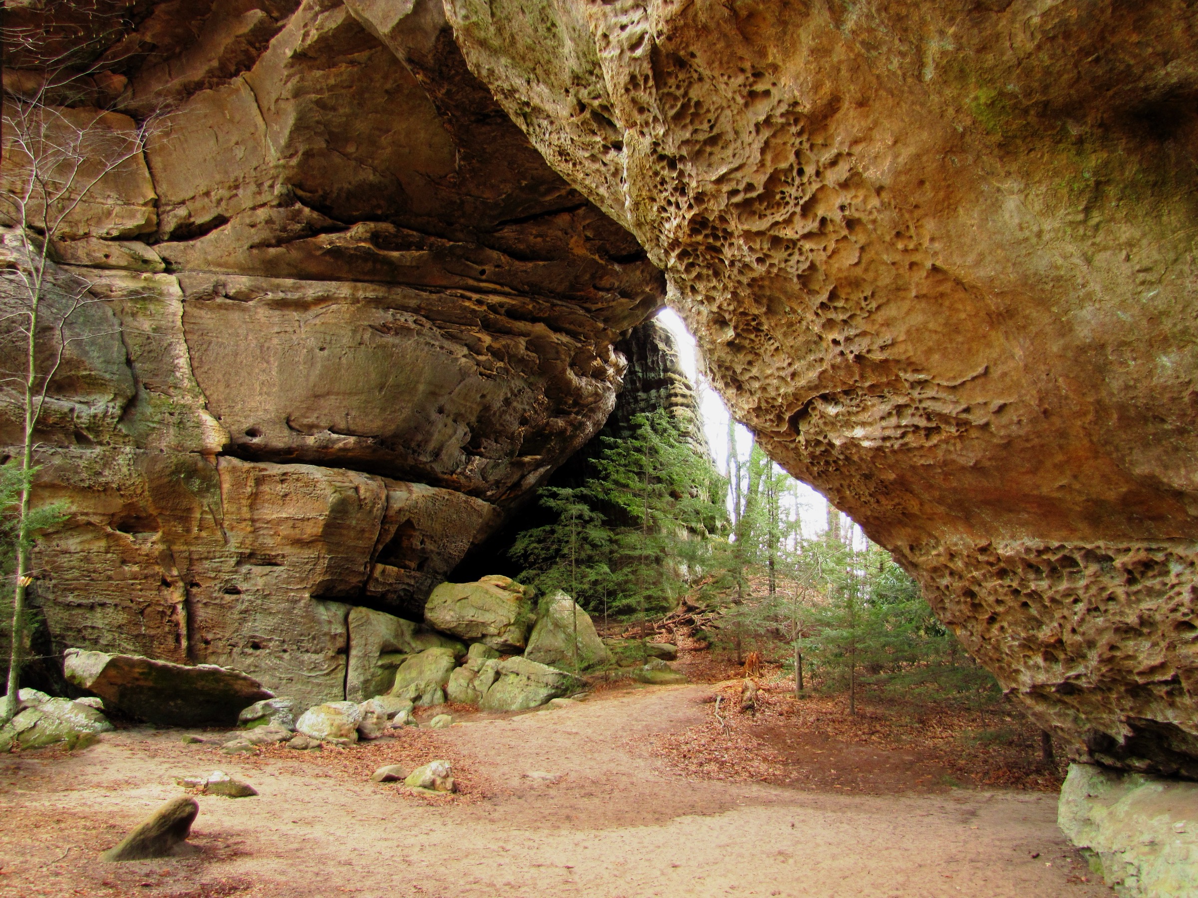
The Cumberland Mountains are the dissected mountain-and-plateau country of eastern Kentucky, northeastern Tennessee and southwestern Virginia outside the separately catalogued Big South Fork region. The hiking character is not alpine, but it is often rugged: sandstone cliffs, forested ridges, narrow stream gorges, historic passes, natural arches, waterfall amphitheatres and steep short climbs from road-accessible valleys to high overlooks.
The strongest hiking centres are Cumberland Gap National Historical Park, Pine Mountain and Bad Branch State Nature Preserve, Breaks Interstate Park, the Devil’s Fork / Devil’s Bathtub area in Jefferson National Forest, and Cumberland Falls State Resort Park. Most routes are day hikes for fit walkers, but several involve repeated stream crossings, cliff edges, slippery sandstone, seasonal ice, summer heat and limited mobile coverage.
Official downloadable GPX files were not found for these routes in this pass. Official park, Forest Service, state-agency and map source pages are listed instead, with AllTrails or OpenStreetMap named only as secondary source-map candidates where useful.
See also: Allegheny Mountains · Cumberland Plateau · Dolly Sods and Canaan Valley.
Selection rationale
The five hikes represent the Cumberland Mountains’ essential range: the historic Cumberland Gap tripoint, a rugged sandstone gorge and swimming-hole route, a Pine Mountain waterfall-and-ridge hike, a Breaks Interstate Park canyon circuit, and the Cumberland Falls / Eagle Falls landscape. The set avoids duplicating the separate Big South Fork catalogue while still covering the main Cumberland themes of cliffs, water, forested ridges and cultural history.
Summary table
| # | Hike | Start point | Type | Distance | Gain | Max elevation | Difficulty |
|---|---|---|---|---|---|---|---|
| 1 | Tri-State Peak and Historic Cumberland Gap | Thomas Walker Parking Area, Cumberland Gap NHP | Out-and-back | 3.9 km / 2.4 mi | Unresolved | Unresolved | Moderate |
| 2 | Devil’s Fork Trail to Devil’s Bathtub | Devil’s Fork Trailhead near Fort Blackmore | Loop or shorter out-and-back | 6.3–11.1 km / 3.9–6.9 mi | 180–405 m by variant | ~914 m / 3,000 ft (full loop) | Strenuous |
| 3 | Bad Branch Falls and High Rock | Bad Branch State Nature Preserve, KY 932 | Out-and-back with ridge extension | ~10.5–11.6 km / 6.5–7.2 mi | ~425 m / 1,400 ft (secondary) | Unresolved | Moderate–strenuous |
| 4 | Breaks Canyon Loop: Prospector / Laurel Branch / Geological / Overlook | Towers Tunnel parking, Breaks Interstate Park | Linked loop | ~4.8 km / 3.0 mi | ~166 m / 544 ft (secondary) | Unresolved | Moderate–hard |
| 5 | Eagle Falls Trail and Cumberland Falls viewpoints | Eagle Falls Trail #9 parking, KY 90 | Loop with viewpoint spurs | 2.9 km / 1.8 mi | Unresolved | Unresolved | Moderate–rugged |
1. Tri-State Peak and Historic Cumberland Gap
Snapshot
Itinerary
From Thomas Walker Parking Area, follow Object Lesson Road Trail to Wilderness Road Trail and continue into the historic Cumberland Gap pass. At the gap, turn onto Tri-State Peak Trail and climb to the marker where Kentucky, Tennessee and Virginia meet. Return by the same route. The hike follows the short historic approach described by NPS rather than the longer Ridge Trail.
Why it is essential
Cumberland Gap is one of the defining historic passes of the Appalachian interior. This route is compact but highly representative: it links the Wilderness Road landscape, the saddle of the gap, the three-state boundary marker and a moderate forested climb.
Equipment
- Hiking shoes
- Water and weatherproof layer
- Warm layer outside summer
- Map or offline route
- Sun and tick protection
- Microspikes in icy winter conditions
Hazards and notes
- NPS lists Tri-State Peak Trail as moderate and notes at least half a mile of other trails required to reach it.
- Winter mud or ice can affect the gravel and dirt sections.
- Stay on marked trails around historic earthworks and protected park resources.
- Pets are generally allowed on many Cumberland Gap trails but should be leashed and managed under current NPS rules.
GPX / route file
| Source | URL | Format | Notes |
|---|---|---|---|
| NPS — Cumberland Gap hiking | nps.gov | Official route descriptions | Trail mileage, difficulty and access verified; not a downloadable route file |
| NPS — Take A Hike! | nps.gov | Official day-hike guide | Linked trail sequence and distance verified |
| NPS — Overlooks | nps.gov | Official access and overlook context | Tri-State Peak access and seasonal context |
| OpenStreetMap search | openstreetmap.org | Source-map candidate | ODbL; attribution required if geometry reused |
Sources
2. Devil’s Fork Trail to Devil’s Bathtub
Snapshot
Itinerary
From the Devil’s Fork Trailhead, follow the yellow-blazed Forest Trail #210 along Devil’s Fork. The lower route crosses the creek repeatedly and passes small waterfalls and boulder sections before reaching the narrow rock pool known as Devil’s Bathtub. Fit hikers may continue around the full loop; many day hikers return by the same stream-side approach or use the signed alternative segment depending on water and trail conditions.
Why it is essential
Devil’s Bathtub is one of the best-known gorge hikes in the Cumberland Mountains of Virginia. It represents the region’s narrow sandstone streams, clear pools, waterfalls and rugged footing better than a simple overlook route.
Equipment
- Sturdy shoes that can get wet
- Trekking poles
- Water and food
- Weather layer and dry socks
- First-aid kit
- Offline navigation
- Avoid open-toed footwear
- High-clearance vehicle may help for the small upper trailhead road
Hazards and notes
- Forest Service notes more than ten unbridged stream crossings, uneven footing, steep and slippery sections and flash-flood risk.
- Do not attempt during or after heavy rain or when water levels are high.
- Parking is limited; use signed overflow parking and avoid private-property conflicts.
- The full loop is longer and more committing than the common out-and-back visit to the bathtub.
GPX / route file
| Source | URL | Format | Notes |
|---|---|---|---|
| USFS — Devil’s Fork Trail #210 | fs.usda.gov | Official route description | Trail length, difficulty, access, hazards and elevation range verified; not a GPX |
| Norton, VA — Hike | nortonva.gov | Local government summary | Shorter Devil’s Bathtub variant context and parking caution |
| Virginia.org — Devil’s Bathtub & Waterfall | virginia.org | State tourism summary | Access caution and variant context |
| AllTrails — Devils Bathtub Trail | alltrails.com | Source-map candidate | AllTrails terms; direct GPX not retrieved |
| OpenStreetMap search | openstreetmap.org | Source-map candidate | ODbL; attribution required if geometry reused |
Sources
- USFS — Devil’s Fork Trail #210
- Norton, VA — Hike
- Virginia.org — Devil’s Bathtub & Waterfall
- AllTrails — Devils Bathtub Trail
3. Bad Branch Falls and High Rock
Snapshot
Itinerary
From the KY 932 preserve parking area, follow the Bad Branch trail system into Bad Branch Gorge. A signed spur leads to the 60 ft waterfall below sandstone cliffs. Continue up the gorge and climb toward Pine Mountain, connecting with the High Rock area and the Pine Mountain State Scenic Trail. Return by the same route unless using a locally verified loop variant.
Why it is essential
Bad Branch is one of Kentucky’s standout Cumberland / Pine Mountain hikes: a protected gorge, a substantial waterfall, rare-species habitat and a ridge-top viewpoint in one day-hike objective.
Equipment
- Sturdy footwear
- Water and food
- Rain shell and warm layer outside summer
- Trekking poles
- Offline map
- Tick protection
- Extra water in warm weather — no visitor facilities
Hazards and notes
- Preserve has no facilities and limited parking.
- Cliff edges, wet rock near the falls and steep approach sections require caution.
- Kentucky nature-preserve rules require staying on designated trails and protecting sensitive habitat.
- Pets are generally not permitted on dedicated Kentucky State Nature Preserve trails; confirm current rules before visiting.
GPX / route file
| Source | URL | Format | Notes |
|---|---|---|---|
| KY EEC — Bad Branch State Nature Preserve | eec.ky.gov | Official preserve page | Preserve facts, access, waterfall height and official coordinates verified; not a GPX |
| KY State Parks — Pine Mountain State Scenic Trail | parks.ky.gov | Official trail system page | Pine Mountain / High Rock loop context and map links |
| Kentucky Hiker — Bad Branch / High Rock | kentuckyhiker.com | Secondary route guide | Route sequence and approximate statistics only |
| OpenStreetMap search | openstreetmap.org | Source-map candidate | ODbL; attribution required if geometry reused |
Sources
- KY EEC — Bad Branch State Nature Preserve
- KY State Parks — Pine Mountain State Scenic Trail
- Kentucky Hiker — Pine Mountain / Bad Branch Falls / High Rock
- KY State Parks — Trail guidelines
4. Breaks Canyon Loop: Prospector, Laurel Branch, Geological and Overlook
Snapshot
Itinerary
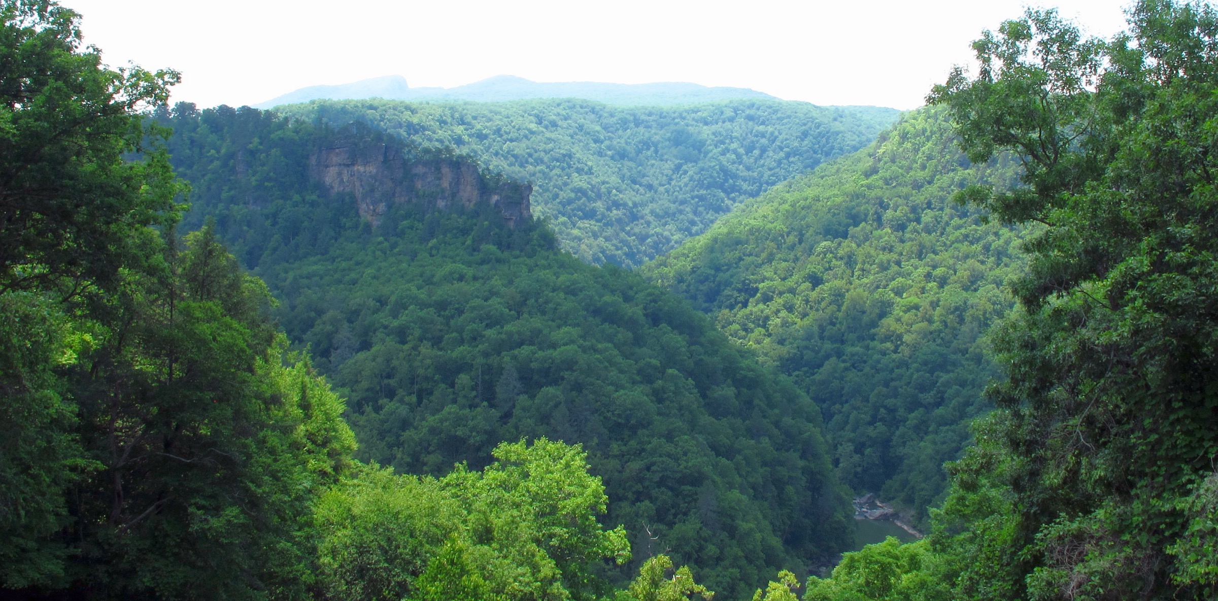
Start at the Towers Tunnel parking area and use the Towers Tunnel access to reach Prospector Trail. Follow Prospector beneath the first cliff line through rugged canyon terrain, then connect to Laurel Branch Trail. Continue through the Notches and link Geological Trail to Overlook Trail. Overlook Trail follows the rim between major viewpoints before returning to the Towers Tunnel area.
Why it is essential
Breaks Interstate Park protects one of the most dramatic canyon landscapes in the Cumberland Mountains. This linked route combines the lower cliff line, rhododendron stream corridor, geological passages and rim overlooks over the Russell Fork Gorge.
Equipment
- Sturdy shoes
- Water and snacks
- Weather layer
- Sun and tick protection
- Offline park map
- Trekking poles useful on the rocky lower trail
Hazards and notes
- Prospector Trail’s first descent is steep and rocky; a mile in the Breaks Canyon can feel much longer.
- Overlook Trail runs near unrailed cliff edges — keep children and pets close, stay back from edges.
- Wet leaves, ice and rhododendron shade can make footing slippery.
- Check park entry fee or pass requirements before visiting.
GPX / route file
| Source | URL | Format | Notes |
|---|---|---|---|
| Breaks Interstate Park — hiking guide | breakspark.com | Official trail index | Trail list and official map / description links |
| Breaks — Prospector Trail | breakspark.com | Official trail page | Route sequence and hazards |
| Breaks — Laurel Branch Trail | breakspark.com | Official trail page | Component context |
| Breaks — Geological Trail | breakspark.com | Official trail page | Component context |
| Breaks — Overlook Trail | breakspark.com | Official trail page | Cliff-edge hazard and rim route |
| AllTrails — Breaks Interstate Loop Trail | alltrails.com | Source-map candidate | AllTrails terms; direct GPX not retrieved |
Sources
- Breaks Interstate Park — Hiking at the Breaks
- Breaks — Prospector Trail
- Breaks — Laurel Branch Trail
- Breaks — Geological Trail
- Breaks — Overlook Trail
- AllTrails — Breaks Interstate Loop Trail
5. Eagle Falls Trail and Cumberland Falls viewpoints
Snapshot
Itinerary
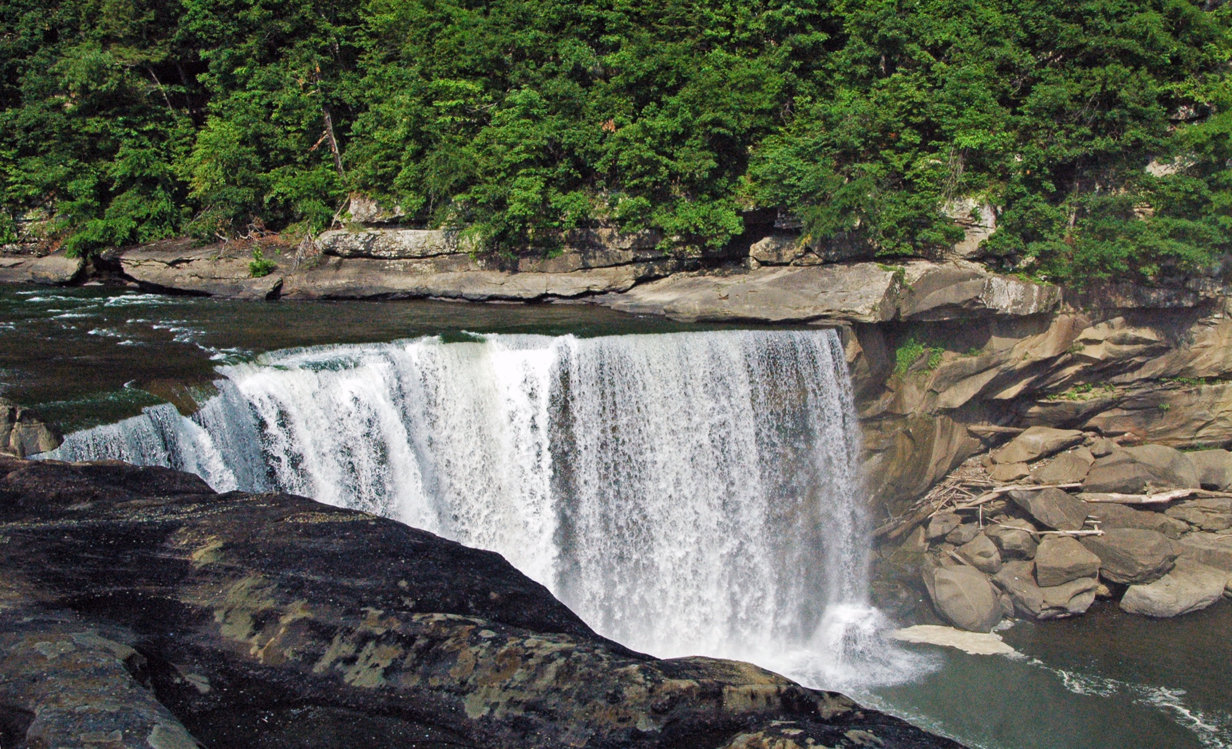
From the Eagle Falls Trail #9 parking area, follow the trail along the cliff line for views toward Cumberland Falls. After crossing a seasonal stream, the route forms a loop, with a spur descending toward the river and Eagle Falls. Return by the loop to the trailhead, then add the roadside or park-access viewpoints of Cumberland Falls if conditions and time allow.
Why it is essential
Cumberland Falls is one of Kentucky’s most famous waterfalls, and Eagle Falls Trail is the hiking route that gives the classic opposite-bank views of the main falls while also reaching a smaller waterfall and rugged river-canyon terrain.
Equipment
- Hiking shoes with good grip
- Water and rain layer
- Warm layer outside summer
- Sun and tick protection
- Map or offline route
- Trekking poles useful on wet or stepped sections
Hazards and notes
- Kentucky State Parks notes the trail follows a cliff line for much of its length.
- The lower section may be under water during high water and the latter section is rugged.
- Rocks near waterfalls and river edges can be slippery.
- Some surrounding areas are dedicated nature-preserve lands with pet restrictions — follow posted rules.
GPX / route file
| Source | URL | Format | Notes |
|---|---|---|---|
| KY State Parks — Cumberland Falls State Resort Park | parks.ky.gov | Official trail description | Eagle Falls Trail #9 distance and route notes |
| KY State Parks — Trail guidelines | parks.ky.gov | Official trail rules | Trail-rule and pet-restriction context |
| OpenStreetMap search | openstreetmap.org | Source-map candidate | ODbL; attribution required if geometry reused |
| AllTrails search | alltrails.com | Source-map candidate | AllTrails terms; direct GPX not retrieved |
Sources
- KY State Parks — Cumberland Falls State Resort Park
- KY State Parks — Trail guidelines
- Wikimedia Commons — Cumberland Falls category
Region-level sources
| Source | URL |
|---|---|
| NPS — Cumberland Gap National Historical Park | nps.gov |
| NPS — Cumberland Gap hiking | nps.gov |
| NPS — Cumberland Gap Take A Hike | nps.gov |
| NPS — Cumberland Gap overlooks | nps.gov |
| USFS — Devil’s Fork Trail #210 | fs.usda.gov |
| KY EEC — Bad Branch State Nature Preserve | eec.ky.gov |
| KY State Parks — Pine Mountain State Scenic Trail | parks.ky.gov |
| Breaks Interstate Park — Hiking at the Breaks | breakspark.com |
| KY State Parks — Cumberland Falls State Resort Park | parks.ky.gov |
| Wikimedia Commons — Cumberland Gap NHP category | commons.wikimedia.org |
| Wikimedia Commons — Russell Fork / Breaks Interstate Park | commons.wikimedia.org |
| Wikimedia Commons — Cumberland Falls category | commons.wikimedia.org |
| Wikimedia Commons — Cumberland Gap NHP cover | commons.wikimedia.org |
Further reading
- Allegheny Mountains — essential day-hikes — the higher, wilder Allegheny side of the same taxonomy
- Cumberland Plateau — essential day-hikes — the broader plateau country to the west and south
- Dolly Sods and Canaan Valley — essential day-hikes — the West Virginia Allegheny Front high country
Missing data / follow-up work
- No official GPX / KML files were found for the five routes in this pass.
- Elevation gain, loss and maximum elevation remain unresolved for several official route descriptions.
- Bad Branch and Cumberland Falls photo candidates need individual file-level licence checks before catalogue publication.
- Devil’s Bathtub and Bad Branch need better open-licence media sourcing.
- Current local closures, water levels, parking rules and preserve restrictions should be checked immediately before publication or field use.