Regional overview
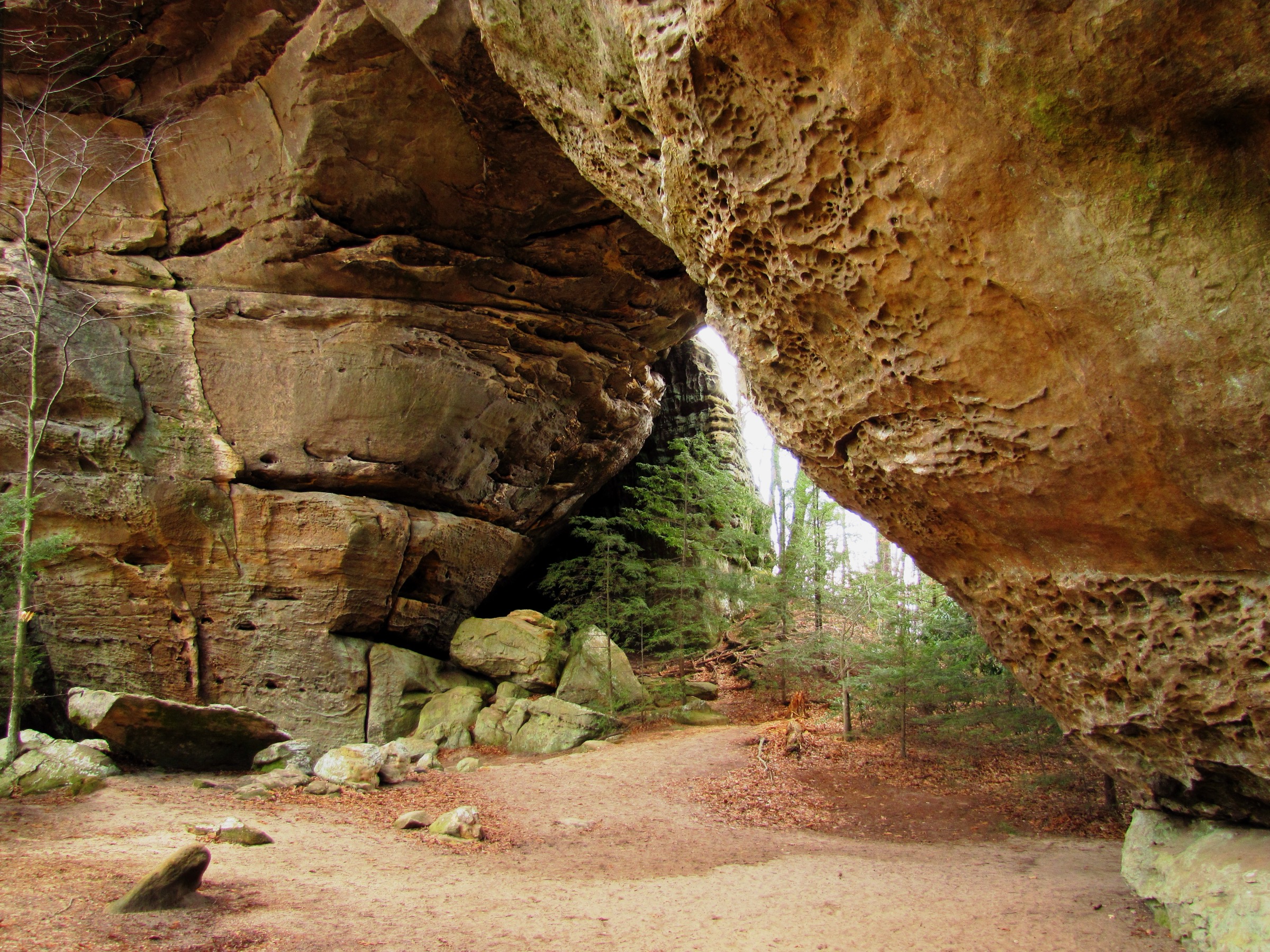
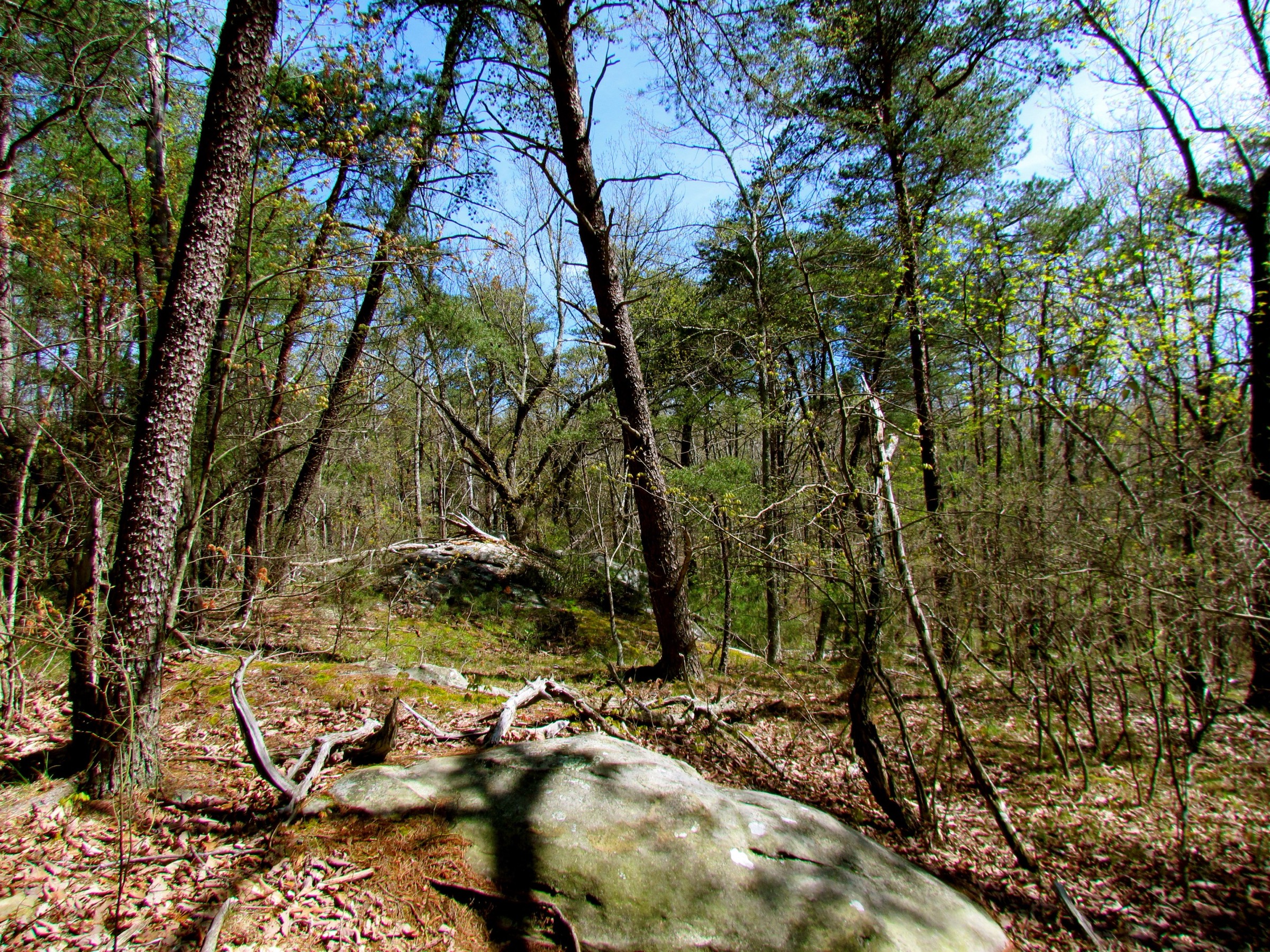
The Cumberland Plateau is a sandstone tableland of gorges, waterfalls, natural arches, cliff lines, rock shelters, hardwood forest and deeply cut river corridors across Tennessee, Kentucky, Alabama and Georgia. Elevations are moderate by mountain standards, but the hiking is often strenuous: trails drop from the plateau rim into gulfs and river gorges, cross boulder fields and wet creeks, and climb back by steep grades.
The key seasonal issues are heat and humidity, high water, slippery waterfall approaches, thunderstorms, leaf-covered rocks, winter ice on stairs and sandstone, and limited daylight on long gorge loops. Access is mostly by private vehicle to state-park, national-park or national-forest trailheads. Official GPX / KML downloads were uncommon during verification; official route pages and secondary source-map pages are listed for each hike below.
Selection rationale
The five routes cover the Cumberland Plateau’s essential day-hike forms without concentrating in one park: a nationally known Tennessee gorge traverse to Raven Point, a Savage Gulf rim-and-gulf route through the Stone Door, Big South Fork’s signature Twin Arches, Red River Gorge’s classic sandstone ridge to Courthouse Rock, and Cloudland Canyon’s rim-and-waterfall combination on Lookout Mountain. The set spans Tennessee, Kentucky and Georgia.
Summary
| # | Hike | State | Route type | Distance | Gain | Difficulty |
|---|---|---|---|---|---|---|
| 1 | Fiery Gizzard Trail to Raven Point | Tennessee | Loop / lollipop | 15.8 km | 393 m | Strenuous |
| 2 | Stone Door and Big Creek Gulf / Laurel Trail loop | Tennessee | Loop | ~14.5 km | Not verified | Strenuous |
| 3 | Twin Arches Loop, Big South Fork | Tennessee | Loop with approach | ~9.7 km | Not verified | Moderate |
| 4 | Auxier Ridge to Courthouse Rock | Kentucky | Out-and-back (loop variant) | 6.8–7.9 km | 223–284 m | Moderate |
| 5 | Cloudland Canyon — West Rim Loop and Waterfalls | Georgia | Lollipop loop plus out-and-back | ~11.3 km combined | Not verified | Moderate–strenuous |
1. Fiery Gizzard Trail to Raven Point
Snapshot
Photo status: no licence-compatible image was placed in this pass.
Itinerary
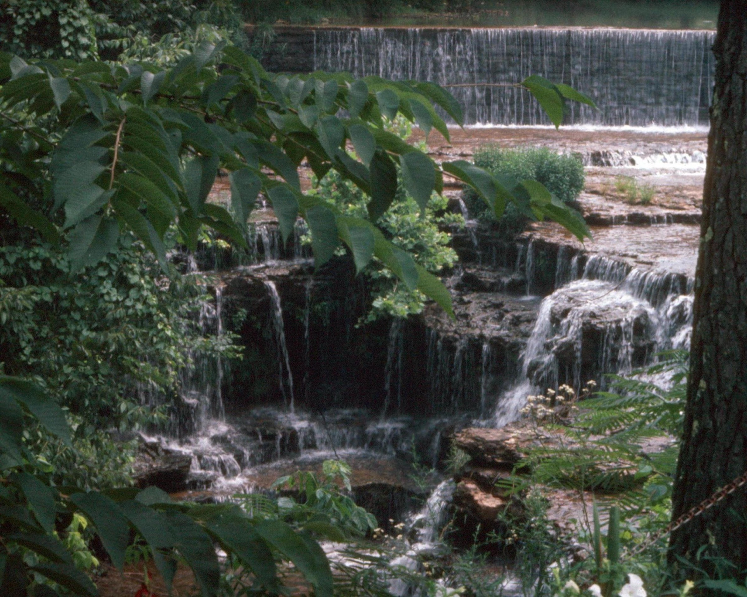
From the Grundy Forest side, follow the Fiery Gizzard system through rocky creekside terrain, boulder fields, small falls and forested gorge sections. The day-hike objective is Raven Point, the major open viewpoint over Fiery Gizzard Gorge. The common return uses the Dog Hole Trail / Fiery Gizzard connection, but the exact line should be checked against the current state-park map before travel.
Why it is essential
Fiery Gizzard is one of Tennessee’s most famous plateau hikes — rugged sandstone, waterfalls, swimming holes, rock formations and the Raven Point overlook. It is a signature Cumberland Plateau day for strong walkers.
Equipment
- Sturdy boots with ankle support; trekking poles.
- Water, food, rain shell; warm layer outside summer.
- Offline map / GPS, headtorch, first-aid kit.
Hazards and notes
- Rocky, rooty and strenuous throughout.
- Several stream crossings and waterfall areas can be hazardous in high water.
- Heat, humidity, ticks, snakes and thunderstorms in summer.
- Late starts are risky — carry a headtorch.
GPX / route file
| Source | URL | Format | Notes |
|---|---|---|---|
| AllTrails — Fiery Gizzard Trail to Raven’s Point | alltrails.com | Source route map | Distance and gain checked; AllTrails terms apply |
| Friends of South Cumberland — Fiery Gizzard Trail | friendsofsouthcumberland.org | Nonprofit trail description | Route narrative and current caution context |
| Land Trust for Tennessee — Fiery Gizzard | landtrusttn.org | Conservation / context page | Significance and conservation context; not route geometry |
No official state-park GPX or KML was found for this route.
Sources
- AllTrails — Fiery Gizzard Trail to Raven’s Point
- Friends of South Cumberland — Fiery Gizzard Trail
- Land Trust for Tennessee — Fiery Gizzard
- Visit Marion County TN — Fiery Gizzard Trail
2. Stone Door and Big Creek Gulf / Laurel Trail loop
Snapshot
Photo status: no licence-compatible image was placed in this pass.
Itinerary
Start at Stone Door Ranger Station and visit the Stone Door overlook and passage. Descend into Big Creek Gulf, following the gorge route through boulder-field and creek terrain. If water level and conditions permit, add the Ranger Falls detour used in the official guided-hike description. Climb out at Alum Gap and return by Laurel Trail to the trailhead.
Why it is essential
The Stone Door is the iconic entrance into Savage Gulf, and Big Creek Gulf gives a full Cumberland Plateau experience in one day: rim views, a steep sandstone passage, boulder fields, creek crossings, waterfalls and the climb back to the plateau.
Equipment
- Sturdy hiking boots; trekking poles.
- Water, food, rain shell; warm layer outside summer.
- Offline map, headtorch, first-aid kit.
Hazards and notes
- The official event notice warns of boulder fields, water crossings and steep gains / descents.
- Overlooks and waterfalls can be treacherous; slips are a real risk.
- High water may make Ranger Falls or creek sections unsuitable.
- Long day; start early.
GPX / route file
| Source | URL | Format | Notes |
|---|---|---|---|
| Tennessee State Parks — Big Creek Gulf Hike | tspg.itinio.com | Official guided-hike page | Route outline and hazards; no GPX / KML exposed |
| Friends of South Cumberland — Savage Gulf | friendsofsouthcumberland.org | Nonprofit park guide | Route options and trailhead context |
| Gaia GPS — Stone Door area | gaiagps.com | Source-map candidates | Gaia terms apply; reuse unresolved |
No official state-park GPX or KML was found for this route.
Sources
- Tennessee State Parks — Big Creek Gulf Hike
- Friends of South Cumberland — Savage Gulf
- Gaia GPS — Stone Door hiking trails
3. Twin Arches Loop, Big South Fork
Snapshot
Photo status: no licence-compatible image was placed in this pass.
Itinerary
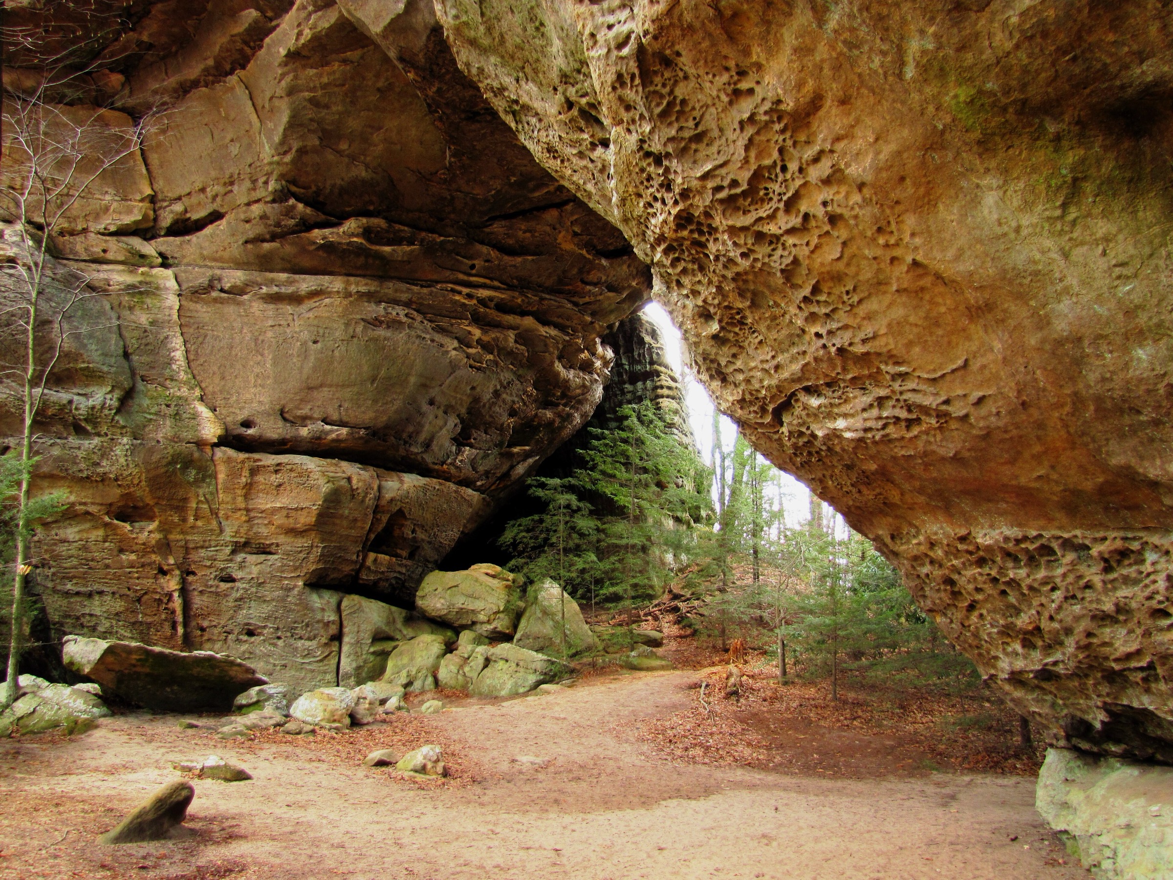
Walk the Twin Arches Trail from the trailhead to the North and South Arches. Continue clockwise on the Twin Arches Loop, descending about 400 ft to Charit Creek Lodge. Follow Station Camp Creek to Jake’s Place, climb back toward the plateau, and return along the cliff-base section to the arches. Climb the stairs between the arches and return to the parking lot by the approach trail.
Why it is essential
The NPS describes Twin Arches as among the most impressive rock arches in the eastern United States. The loop combines the arches, rock shelters, old home-site history, creek walking and classic Big South Fork sandstone terrain.
Equipment
- Hiking shoes or boots; trekking poles (use care on stairs).
- Water, food, weather layer.
- Map / offline GPS, headtorch backup.
Hazards and notes
- Steep wooden stairs and cliff edges — the NPS calls these out explicitly.
- Rock shelters and archaeological features should not be disturbed.
- Wet leaves, ice and sandstone are slippery.
- Do not assume Charit Creek Lodge facilities are open without checking current status.
GPX / route file
| Source | URL | Format | Notes |
|---|---|---|---|
| NPS — Twin Arches Loop Trail | home.nps.gov | Official HTML route description with PDF map link | Route and statistic verification; not a GPX / KML file |
| NPS — Twin Arches Trails and Profiles PDF | linked from the NPS route page | Official PDF map / profile | Use for manual route reconstruction |
No official National Park Service GPX or KML was found for this route.
Sources
4. Auxier Ridge to Courthouse Rock
Snapshot
Photo status: no licence-compatible image was placed in this pass.
Itinerary
From the Tunnel Ridge Road trailhead, follow Auxier Ridge through forest to open sandstone ridge views. Continue toward Courthouse Rock, a prominent sandstone formation and viewpoint. Return the same way for the shorter day, or use the Auxier–Courthouse loop variant if the current map, trail conditions and daylight support it.
Why it is essential
Auxier Ridge and Courthouse Rock are classic Red River Gorge terrain: sandstone cliffs, exposed ridges, deep forested valleys and sculptural rock formations. The route is one of the region’s most recognised day-hikes.
Equipment
- Hiking shoes or boots with good sandstone traction.
- Water, food, sun protection, weather layer.
- Offline map / GPS, headtorch backup.
Hazards and notes
- Cliff edges and sandstone slabs require care, especially in wet, icy or windy conditions.
- Red River Gorge parking and road access can be crowded at peak times.
- Official route statistics and GPX / KML remain unresolved; compare USFS maps, OSM and current trailhead signage before publication.
GPX / route file
| Source | URL | Format | Notes |
|---|---|---|---|
| AllTrails — Auxier Ridge Trail to Courthouse Rock | alltrails.com | Source route map | Distance and gain checked; AllTrails terms apply |
| onX — Auxier–Courthouse Loop | onxmaps.com | Secondary route map | Loop variant distance and gain checked; onX terms apply |
No official U.S. Forest Service GPX or KML was found for this route.
Sources
5. Cloudland Canyon — West Rim Loop and Waterfalls Trail
Snapshot
Photo status: no licence-compatible image was placed in this pass.
Itinerary
Start with the West Rim Loop from the main trailhead — the official description calls it a 5 mi lollipop with repeated canyon viewpoints and rocky, rooty tread. Return to the main trailhead area and descend the Waterfalls Trail to Cherokee Falls and, if conditions and energy allow, the steeper continuation to Hemlock Falls. Climb back up the same staircase route.
Why it is essential
Cloudland Canyon is one of the southern Cumberland Plateau’s great gorge parks. Combining West Rim viewpoints with the Waterfalls Trail gives both the rim-scale landscape and the canyon-floor waterfall experience in one demanding day.
Equipment
- Hiking shoes or boots; trekking poles help on the rim trail, but use care on the metal stairs.
- Water, food, rain shell, sun protection.
- Offline map, headtorch backup.
Hazards and notes
- The official Waterfalls Trail includes about 600 metal stair steps and is strenuous.
- Dogs may struggle on the stairs.
- Waterfall flow varies significantly; winter and early spring usually have stronger flow.
- Wading in pools and climbing on waterfalls are not permitted per park information.
- The park page noted road work and a temporary visitor centre during verification — check current alerts.
GPX / route file
| Source | URL | Format | Notes |
|---|---|---|---|
| Georgia State Parks — Cloudland Canyon trails | gastateparks.org | Official HTML trail descriptions | Route and statistic verification; no GPX / KML exposed |
| Georgia State Parks — Cloudland Canyon State Park | gastateparks.org | Official park page and map links | Park context, alerts and map lookup |
No official state-park GPX or KML was found for this route.
Sources
- Georgia State Parks — Cloudland Canyon trails
- Georgia State Parks — Cloudland Canyon State Park
- Georgia State Parks — Top 5 Trails
Region-level sources
| Source | URL |
|---|---|
| AllTrails — Fiery Gizzard Trail to Raven’s Point | alltrails.com |
| Friends of South Cumberland — Fiery Gizzard Trail | friendsofsouthcumberland.org |
| Friends of South Cumberland — Savage Gulf | friendsofsouthcumberland.org |
| Tennessee State Parks — Big Creek Gulf Hike | tspg.itinio.com |
| NPS — Twin Arches Loop Trail | home.nps.gov |
| AllTrails — Auxier Ridge Trail to Courthouse Rock | alltrails.com |
| onX — Auxier–Courthouse Loop | onxmaps.com |
| Georgia State Parks — Cloudland Canyon trails | gastateparks.org |
| Georgia State Parks — Cloudland Canyon State Park | gastateparks.org |
| Land Trust for Tennessee — Fiery Gizzard | landtrusttn.org |
| Gaia GPS — Stone Door hiking trails | gaiagps.com |
Missing data / follow-up work
- No official downloadable GPX / KML files were found for any of the five selected hikes in this pass.
- No licence-compatible image candidates were verified for the Cumberland Plateau hikes in this pass — cover and per-hike photography remain outstanding.
- Fiery Gizzard and Savage Gulf should be re-checked against current official state-park maps before publication, especially after Tennessee’s recent park-management changes in the South Cumberland area.
- Auxier Ridge needs a route-specific USFS source or current map confirmation.
- Elevation gain / loss and maximum elevation remain unresolved for the Stone Door / Big Creek Gulf loop, Twin Arches, Auxier Ridge (max), and Cloudland Canyon (max) routes.
- Public transport was not verified for any route; all five require a private vehicle.