Regional overview
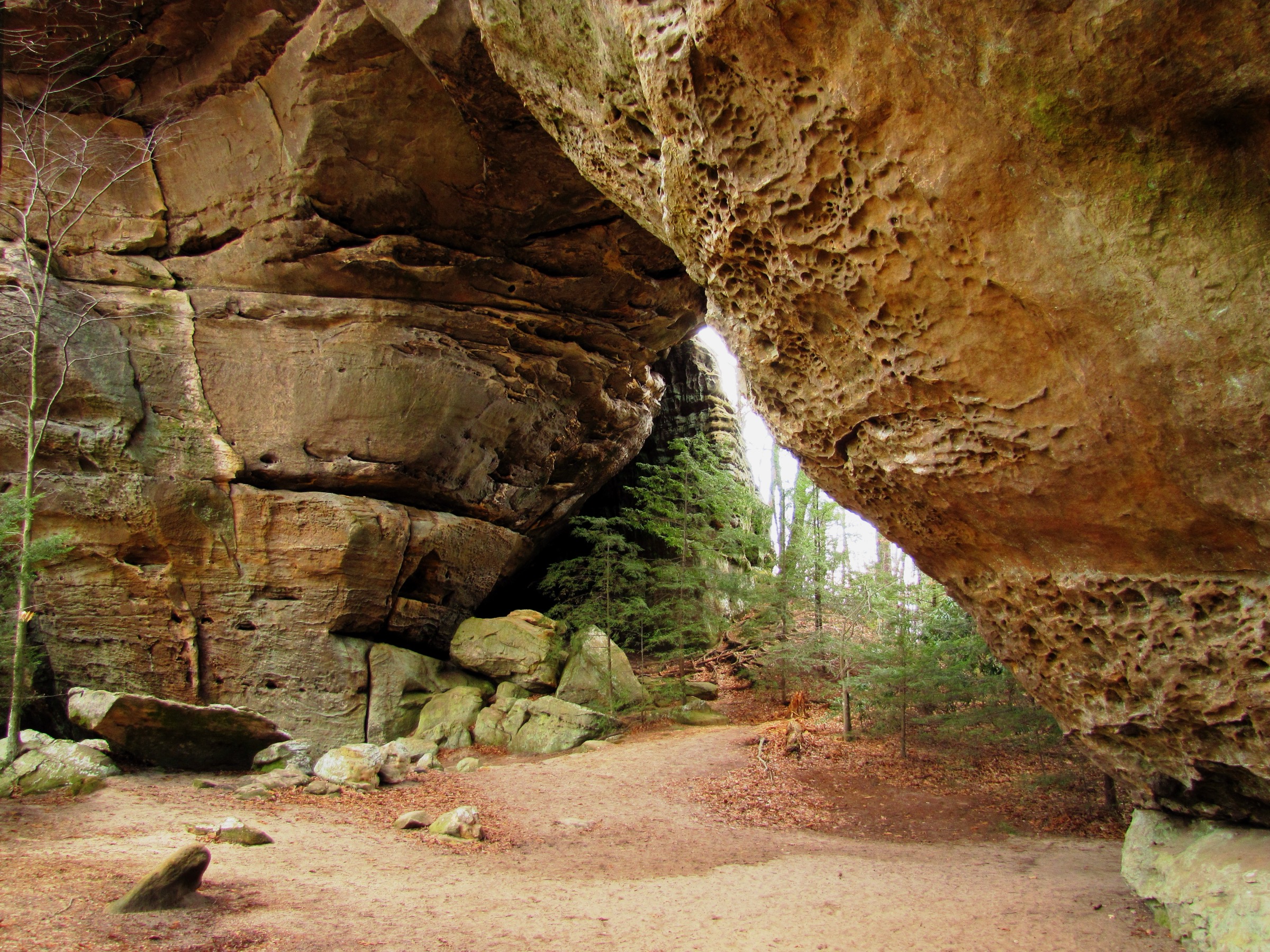
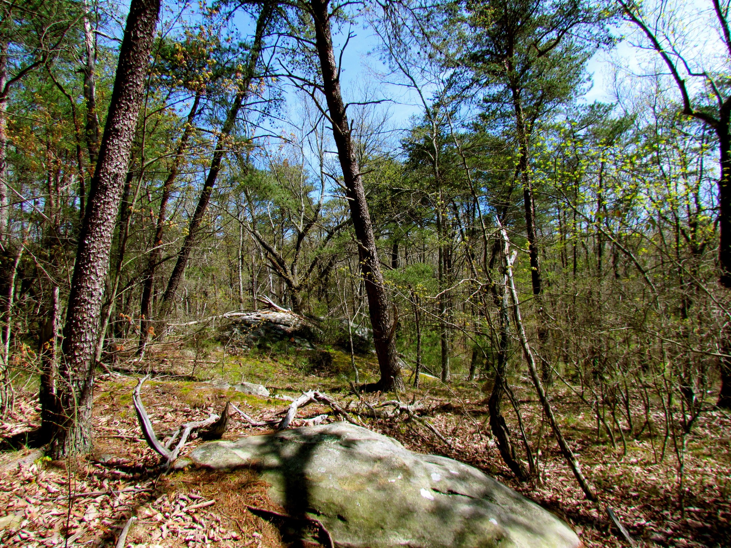
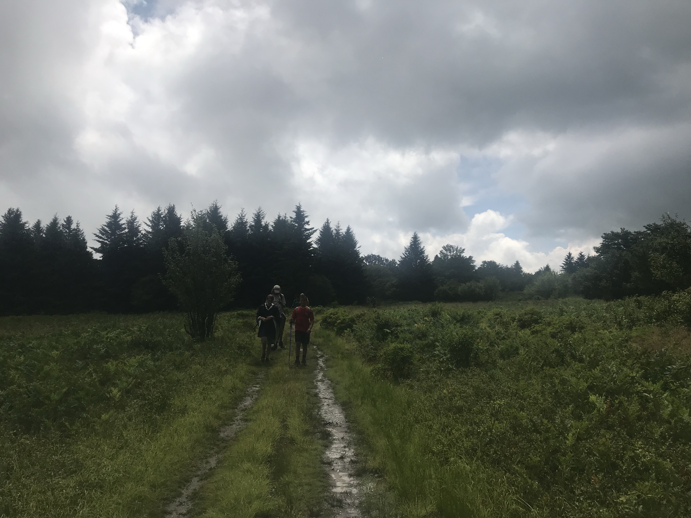
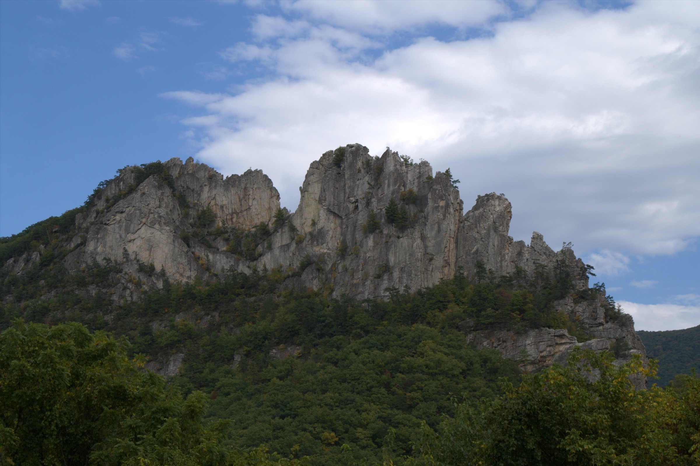
The Allegheny Mountains entry covers the high ridges, forested plateaus, quartzite fins, bogs and state high points of the central Appalachian highlands in West Virginia and Pennsylvania, outside the more tightly defined Dolly Sods / Canaan Valley and Cumberland Plateau areas. The walking character is humid, forested, rocky and often deceptively rugged: many routes are short by western mountain standards but include steep grades, rough sandstone, wet bogs, winter ice and limited cell coverage.
Access is mainly by private vehicle. Official downloadable GPX / KML files were not found for most routes during verification; official trail pages, agency maps and secondary route sources are listed for each hike below. Several route statistics remain approximate because the managing agencies often publish trail length without ascent, descent or an exact maximum elevation for the walking line.
Selection rationale
These five hikes represent the Allegheny Mountains’ essential day-hike range: a landmark rock fin at Seneca Rocks, the highest summit in West Virginia at Spruce Knob, a long open ridge viewpoint on North Fork Mountain, Pennsylvania’s state high point at Mount Davis, and a bog-and-waterfall trail cluster at Cranberry Glades and Falls of Hills Creek. The set deliberately avoids Dolly Sods and Blackwater Falls as primary choices — those belong in the separate Dolly Sods / Canaan Valley article.
Summary
| # | Hike | State | Route type | Distance | Gain | Max elevation | Difficulty |
|---|---|---|---|---|---|---|---|
| 1 | Seneca Rocks Hiking Trail | West Virginia | Out-and-back | 4.2 km | >213 m | Not resolved | Moderate–strenuous |
| 2 | Spruce Knob — Whispering Spruce Trail | West Virginia | Loop | 0.8–1.0 km | Minimal | 1,482 m (4,863 ft) | Easy but high and exposed |
| 3 | North Fork Mountain Trail to Chimney Top | West Virginia | Out-and-back | ~8.5–10 km | ~450–550 m | ~951 m | Strenuous |
| 4 | Mount Davis High Point Trail / Mt Davis loop | Pennsylvania | Out-and-back or loop | 3.2 km event route; 9.2 km loop variant | Loop ~250 m | 979 m (3,213 ft) | Easy–moderate |
| 5 | Cranberry Glades and Falls of Hills Creek | West Virginia | Trail cluster (two sites) | ~3.2 km total | Not resolved; falls descend ~67 m between stages | ~1,024 m at Cranberry Glades | Easy–moderate |
1. Seneca Rocks Hiking Trail
Snapshot
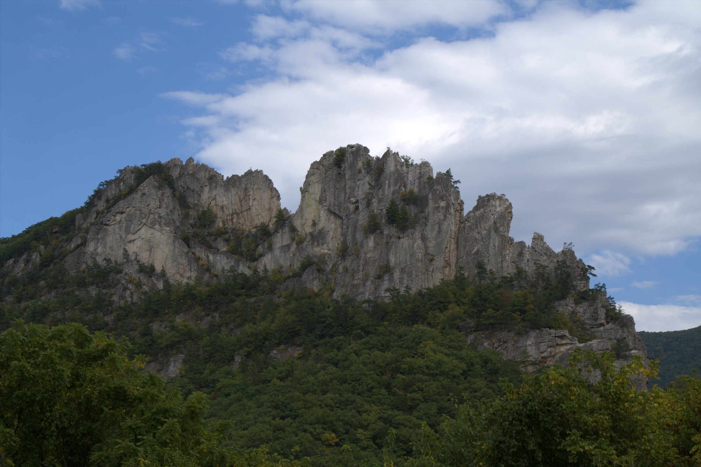
Photo status: no in-body figure was shipped in this pass. A CC BY 3.0 image Seneca Rocks - front 1 by Jarek Tuszynski is available on Wikimedia Commons for follow-up sourcing.
Itinerary
The hike begins at the Seneca Rocks Discovery Center, crosses Seneca Creek to the picnic area, and climbs the maintained trail by steps and switchbacks. The route ends at the observation platform near the top of Seneca Rocks, with views over the North Fork valley and the surrounding Allegheny ridges. Return by the same trail.
Why it is essential
Seneca Rocks is one of the best-known natural landmarks in West Virginia. The hike lets non-climbers reach a high viewpoint below a quartzite formation otherwise famous for technical climbing.
Equipment
- Sturdy shoes or boots.
- Water and food; no potable water at the site.
- Weather layer, sun protection, offline map.
- Winter traction if the steps or switchbacks are icy.
Hazards and notes
- USFS states the area is open year-round during daylight hours only.
- Do not go beyond the observation platform unless carrying climbing gear and trained to use it — the Forest Service warns explicitly.
- Alcohol, camping, open fires outside the designated grill areas, saddle or pack animals, and bicycles are prohibited at the site.
- Cliff edges, wet rock, ice and busy summer / fall days need care.
GPX / route file
| Source | URL | Format | Notes |
|---|---|---|---|
| USFS — Seneca Rocks | fs.usda.gov | Official HTML route description | Route and statistic verification; no downloadable geometry |
No official Forest Service GPX or KML was found for this route.
Sources
2. Spruce Knob — Whispering Spruce Trail

Snapshot
Photo status: no in-body figure was shipped in this pass. A CC BY-SA 4.0 image View west across Red Spruce forest from the observation tower on Spruce Knob by Famartin is available on Wikimedia Commons.
Itinerary
The loop circles the top of Spruce Knob from the summit parking area. It passes red-spruce forest, wind-shaped vegetation, boulder fields, interpretive signs and the observation tower. Openings along the trail and the tower give views across the Allegheny ridges and valleys.
Why it is essential
Spruce Knob is West Virginia’s high point and one of the strongest examples of high-elevation red-spruce habitat in the central Appalachians. The walk is short, but it is the signature summit experience of the Allegheny Mountains.
Equipment
- Comfortable walking shoes in dry summer conditions; sturdier footwear otherwise.
- Windproof and warm layer.
- Water and sun protection.
- Traction and road-condition checks in winter and shoulder seasons.
Hazards and notes
- Harsh, windy summit climate — often much colder than nearby valleys.
- Snow and ice can affect the access road and trail.
- Included on regional significance rather than physical scale.
- The National Recreation Trails source lists dogs as allowed on leash.
GPX / route file
| Source | URL | Format | Notes |
|---|---|---|---|
| NPS — Hiking Spruce Knob | nps.gov | Official HTML interpretive article | Route and natural-history verification; no geometry file |
| National Recreation Trails — Whispering Spruce NRT | nrtapplication.org | Public trail profile | Secondary trail-length / elevation check; NRT notes public record may be out of date |
| USFS — Spruce Knob–Seneca Rocks NRA | fs.usda.gov | Official area page | Area context |
No official Forest Service GPX or KML was found for this route.
Sources
- NPS — Hiking Spruce Knob
- National Recreation Trails — Whispering Spruce NRT
- USFS — Spruce Knob–Seneca Rocks NRA
- Wikimedia Commons — Spruce Knob observation tower view
3. North Fork Mountain Trail to Chimney Top
Snapshot
Photo status: no in-body figure was shipped in this pass. A CC BY-SA 3.0 US image The North Fork Mountain Trail — West Virginia by ForestWander is available on Wikimedia Commons.
Itinerary
The day-hike version starts from the North Fork Mountain Trail access on the US 33 / North Fork Gap side and climbs steadily to the ridge. It then follows the long Tuscarora sandstone crest toward the Chimney Top viewpoint, where cliffs give wide views over the North Fork valley and the surrounding Allegheny Mountains. Return by the same ridge route.
Why it is essential
North Fork Mountain is one of West Virginia’s great open-ridge hikes. The Tuscarora sandstone crest, long cliff line and views from Chimney Top represent the wilder ridge-and-valley face of the Allegheny Mountains.
Equipment
- Sturdy boots; trekking poles.
- Water — the ridge is unreliable for water; carry enough from the start.
- Food, weatherproof layer, warm layer, sun protection.
- Offline map / GPS, headtorch, first-aid kit.
Hazards and notes
- Cliff edges are exposed and dangerous in wind, rain, snow or ice.
- Route-finding and parking details should be checked against a current Monongahela National Forest map before travel.
- Exact legal trailhead and current access status should be reconfirmed locally.
GPX / route file
| Source | URL | Format | Notes |
|---|---|---|---|
| e-WV — North Fork Mountain | wvencyclopedia.org | Regional geography reference | Ridge, cliff and elevation context |
| AllTrails — North Fork Mountain Trail to Chimney Top | alltrails.com | Source route map | Secondary route geometry; AllTrails terms apply |
No official Forest Service GPX or KML was found for this route.
Sources
- e-WV — North Fork Mountain
- AllTrails — North Fork Mountain Trail to Chimney Top
- Wikimedia Commons — The North Fork Mountain Trail
4. Mount Davis High Point Trail / Mt Davis loop
Snapshot
Photo status: no in-body figure was shipped in this pass. A CC BY-SA 4.0 image Mount Davis Photo 3213 by Calzarette is available on Wikimedia Commons.
Itinerary
The short official outing starts near Mount Davis Picnic Area, climbs gradually to the Pennsylvania high point, visits the summit marker and observation tower, and returns. A longer loop can combine the High Point Trail with nearby Mount Davis Division trails, but that loop should be checked against the current Forbes State Forest map before travel.
Why it is essential
Mount Davis is Pennsylvania’s highest point and a named Allegheny Mountains summit in Forbes State Forest. It is not a dramatic alpine peak, but its high-point status and observation tower make it a catalogue anchor for the northern Alleghenies.
Equipment
- Walking shoes or hiking boots.
- Water, weather layer, warm layer outside summer.
- Map or offline route; traction if icy.
Hazards and notes
- The high point is forested; the best view is from the tower.
- Use current DCNR maps for the final route line — multiple trail combinations are possible.
- Leashed pets were allowed for the DCNR 2026 First Day Hike event; confirm current pet rules before travel.
GPX / route file
| Source | URL | Format | Notes |
|---|---|---|---|
| PA DCNR — Forbes State Forest hiking | pa.gov | Official trail-system page with map links | Trail-system verification and map lookup |
| PA DCNR — First Day Hike at the High Point | events.dcnr.pa.gov | Official event route note | Confirms a ~2 mi out-and-back high-point route from the picnic area |
| AllTrails — Mount Davis Pennsylvania Highpoint Trail | alltrails.com | Secondary source-map | Loop variant geometry; AllTrails terms apply |
No official state-forest GPX or KML was found for this route.
Sources
- PA DCNR — Hiking in Forbes State Forest
- PA DCNR — First Day Hike at the High Point
- AllTrails — Mount Davis Pennsylvania Highpoint Trail
- Wikimedia Commons — Mount Davis Photo 3213
5. Cranberry Glades and Falls of Hills Creek
Snapshot
Photo status: no in-body figure was shipped in this pass. A CC BY-SA 3.0 US image Cranberry-Glades-Trail by ForestWander is available on Wikimedia Commons.
Itinerary
This is a two-site day-hike cluster rather than a continuous single trail. First walk the accessible Cranberry Glades boardwalk through the protected bog complex. Then transfer to Falls of Hills Creek Scenic Area, where the trail reaches three waterfalls — upper, middle and lower. The first section to the upper falls is paved and accessible; the lower falls require stairs and boardwalks.
Why it is essential
Cranberry Glades protects West Virginia’s largest bog complex, and Falls of Hills Creek is one of the classic waterfall walks of the southern Allegheny highlands. Together they show the wet, high-elevation ecological character of the Allegheny plateau edge.
Equipment
- Walking or hiking shoes with good wet-surface grip.
- Water, weather layer, warm layer outside summer.
- Insect and tick protection.
- Trekking poles help on the stairs if balance is an issue.
Hazards and notes
- Boardwalks and waterfall stairs are slippery when wet or icy.
- Stinging nettle is reported around Falls of Hills Creek; stay on trail.
- Camping is not permitted in the Falls of Hills Creek Scenic Area per secondary sources quoting the Forest Service.
- The falls section has many stairs and is not equivalent to the accessible upper-falls path.
GPX / route file
| Source | URL | Format | Notes |
|---|---|---|---|
| USFS — Cranberry Glades Botanical Area | fs.usda.gov | Official HTML site page | Site verification |
| Waymarking — Falls of Hills Creek Scenic Area | waymarking.com | Secondary route / site description | Secondary check while the official USFS page is unresolved |
| WV Highlands — USFS Monongahela map archive | wvhighlands.org | Archived map links | Manual route reconstruction if current official maps fail |
No official Forest Service GPX or KML was found for this route.
Sources
- USFS — Cranberry Glades Botanical Area
- Waymarking — Falls of Hills Creek Scenic Area
- WV Highlands — USFS Monongahela map archive
- Wikimedia Commons — Cranberry-Glades-Trail
Region-level sources
| Source | URL |
|---|---|
| USFS — Seneca Rocks | fs.usda.gov |
| USFS — Spruce Knob–Seneca Rocks NRA | fs.usda.gov |
| USFS — Cranberry Glades Botanical Area | fs.usda.gov |
| NPS — Hiking Spruce Knob | nps.gov |
| National Recreation Trails — Whispering Spruce NRT | nrtapplication.org |
| e-WV — North Fork Mountain | wvencyclopedia.org |
| PA DCNR — Hiking in Forbes State Forest | pa.gov |
| AllTrails — North Fork Mountain Trail to Chimney Top | alltrails.com |
| AllTrails — Mount Davis Pennsylvania Highpoint Trail | alltrails.com |
| Wikimedia Commons — Seneca Rocks, front 1 | commons.wikimedia.org |
| Wikimedia Commons — Spruce Knob observation tower view | commons.wikimedia.org |
| Wikimedia Commons — North Fork Mountain Trail | commons.wikimedia.org |
| Wikimedia Commons — Mount Davis Photo 3213 | commons.wikimedia.org |
| Wikimedia Commons — Cranberry-Glades-Trail | commons.wikimedia.org |
Missing data / follow-up work
- No official GPX / KML files were found for any of the five routes in this pass.
- Licence-compatible photo candidates flagged but not shipped — Seneca Rocks, front 1 (Jarek Tuszynski, CC BY 3.0), View from Spruce Knob tower (Famartin, CC BY-SA 4.0), The North Fork Mountain Trail (ForestWander, CC BY-SA 3.0 US), Mount Davis Photo 3213 (Calzarette, CC BY-SA 4.0), and Cranberry-Glades-Trail (ForestWander, CC BY-SA 3.0 US). Any of these could carry the article cover.
- North Fork Mountain needs a current official Forest Service trailhead and trail-statistic confirmation before publication.
- Falls of Hills Creek needs a current official USFS page or PDF; the active page was not resolved this pass.
- Elevation gain / loss remains unresolved for several short official routes where agencies publish only distance.
- Public transport was not verified for any route; all five require a private vehicle.