Regional overview
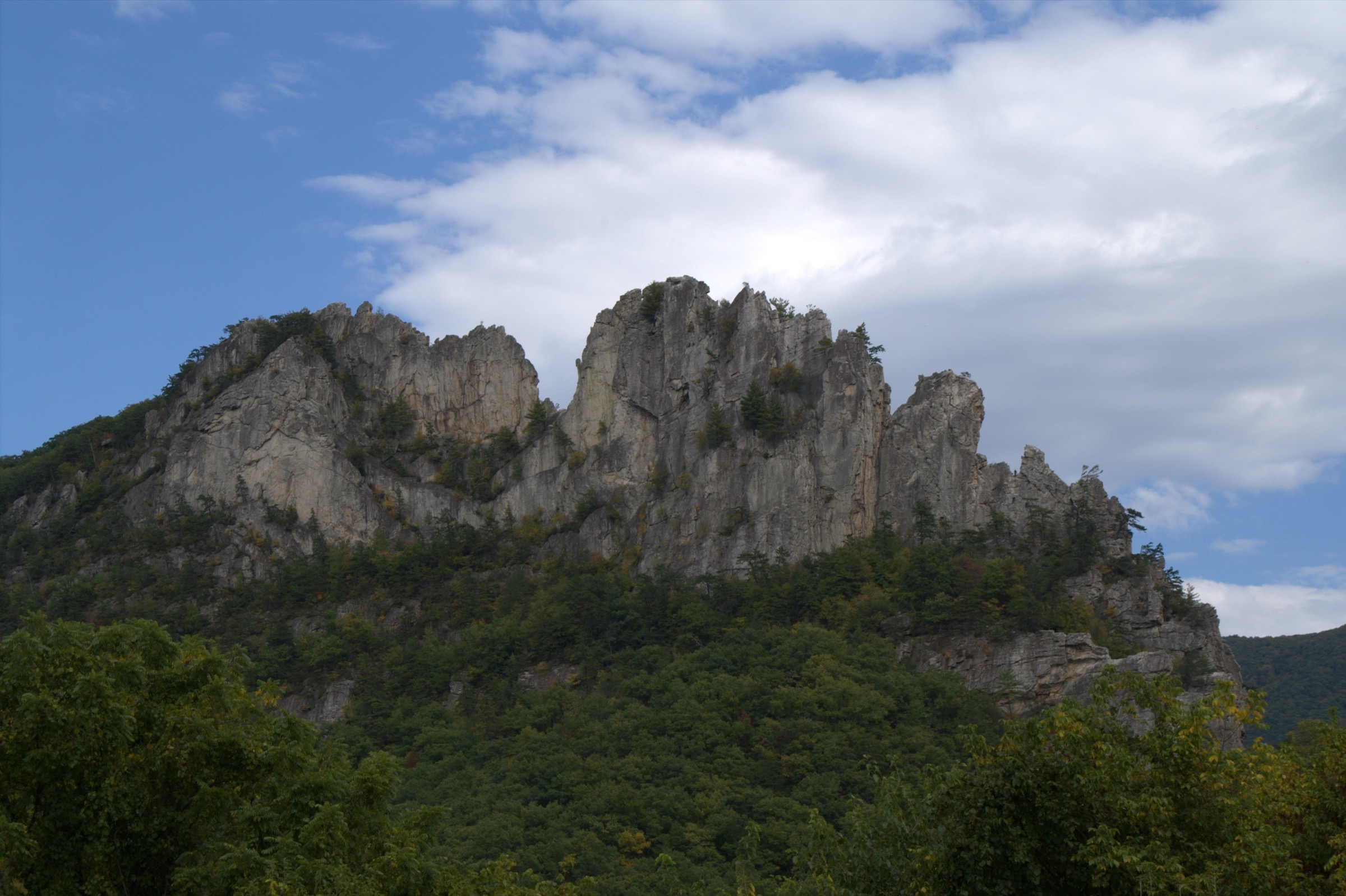
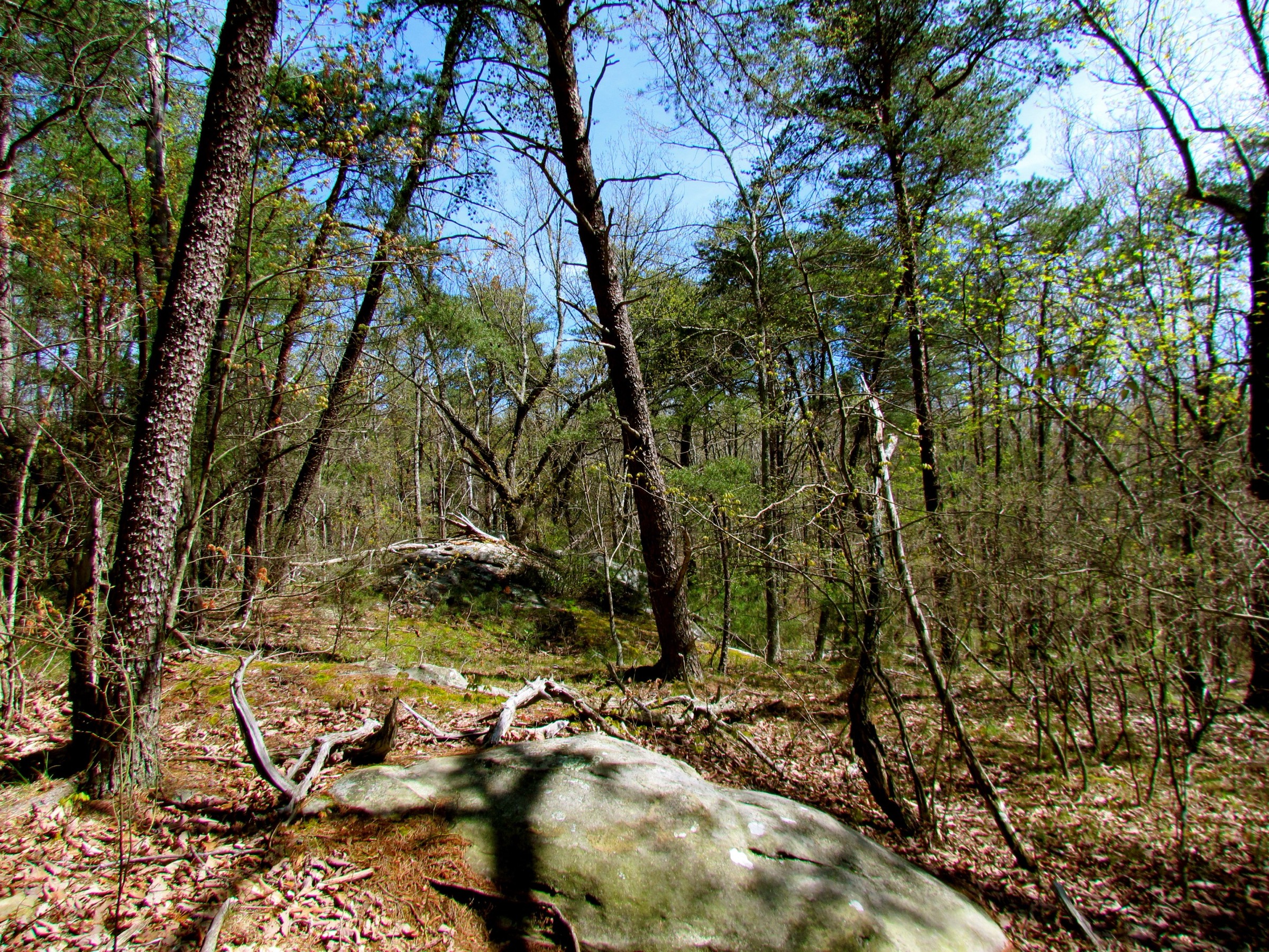
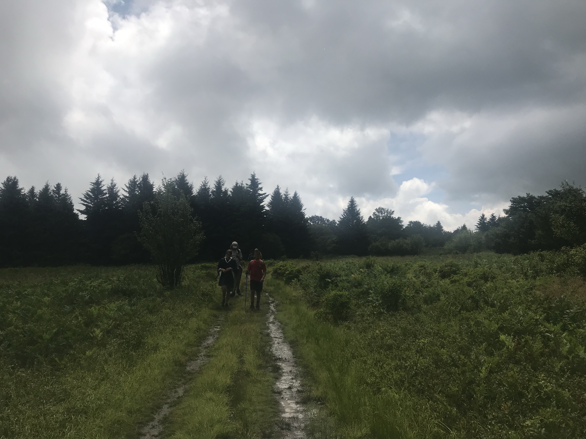
The Big South Fork region is centred on Big South Fork National River and Recreation Area in Tennessee and Kentucky. The hiking character is classic Cumberland Plateau terrain: sandstone arches, deep river gorges, rock shelters, forested benches, wet-weather waterfalls, historic homesteads and coal-mining sites, and long cliff-line traverses above the Big South Fork of the Cumberland River.
Most day hikes are non-technical in dry conditions, but the terrain is rugged. The National Park Service trail system includes more than 350 miles of trails, and some short mileage figures can understate the effort because of creek crossings, slick boulders, cliff edges, ladders or stairs, confusing junctions and remote trailheads. Spring and autumn are generally the best seasons; summer brings heat, humidity, ticks and lower waterfall flow, while winter can bring ice on steps, rock ledges and stream crossings.
Official NPS route pages and PDF trail maps were the strongest sources in this pass. Downloadable GPX/KML files were not found from official NPS pages; NPS PDFs, official trail-map sets, OpenStreetMap, Wikiloc and trail-database source-map candidates are listed under each hike.
See also: Dolly Sods and Canaan Valley · Roan Highlands, Blue Ridge Mountains.
Selection rationale
The five hikes cover the region’s strongest day-hike identities: the demanding Honey Creek gorge route, the iconic Twin Arches, a waterfall-and-arch route at Slave Falls and Needle Arch, the Kentucky-side Yahoo Falls / Yahoo Arch landscape, and the Blue Heron mining-and-gorge loop. The set balances strenuous rugged terrain, short classic objectives, natural arches, waterfalls, overlooks and cultural history.
Summary table
| # | Hike | Country | Route type | Distance | Gain | Max elevation | Difficulty |
|---|---|---|---|---|---|---|---|
| 1 | Honey Creek Loop | USA | Loop | 8.9 km | ~351 m | ~475 m | Strenuous |
| 2 | Twin Arches Loop | USA | Loop with access trail | 9.7 km | ~122 m descent/climb | Unresolved | Moderate |
| 3 | Slave Falls and Needle Arch | USA | Out-and-back | ~4.8 km | Unresolved | Unresolved | Easy to moderate |
| 4 | Yahoo Falls and Yahoo Arch loop | USA | Short loop with optional arch extension | 1.6–4.0 km | Unresolved | Unresolved | Easy to moderate |
| 5 | Blue Heron Loop and Cracks-in-the-Rocks | USA | Loop | 10.5 km | Unresolved | Unresolved | Moderate |
1. Honey Creek Loop
Snapshot
Itinerary
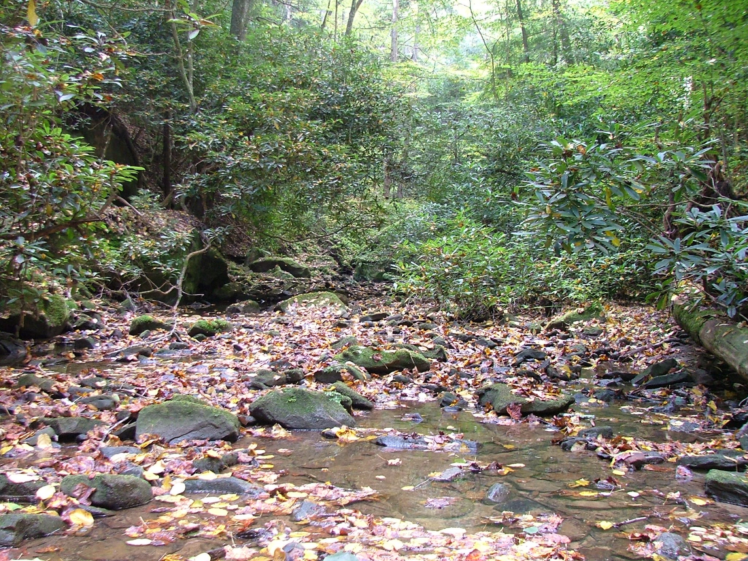
The loop starts at the remote Honey Creek trailhead in the southern portion of Big South Fork. The route follows a rugged sequence of creek-bed travel, narrow trail sections, boulders, rock shelters and short scrambles through the Honey Creek drainage before returning to the trailhead.
NPS describes Honey Creek Loop as the most challenging trail in Big South Fork and states that even experienced hikers should allow at least five hours for the 5.5-mile loop. Navigation can be confusing at junctions and in the creek corridor, so the route should be treated as a full mountain day despite the modest distance.
Why it is essential
Honey Creek Loop is the benchmark rugged day hike in Big South Fork. It compresses the region’s hardest hiking character into one loop: sandstone, creek crossings, boulders, ledges, wet footing and complex navigation.
Equipment
- Sturdy footwear with wet-rock grip
- Water and food
- Rain shell and warm layer outside summer
- Trekking poles
- Offline map and headtorch
- First-aid kit and dry socks
- Do not rely on mobile service
Hazards and notes
- NPS warns of steep narrow trail sections, numerous creek crossings, slick boulders and confusing trail junctions.
- Not recommended immediately after heavy rain or severe freezing weather.
- The trailhead is remote and about an hour’s drive south from Bandy Creek Visitor Center.
- Wet sandstone, high water, summer heat and late starts can make the route significantly more serious.
GPX / route file
| Source | URL | Format | Notes |
|---|---|---|---|
| NPS — Tennessee Trails, Big South Fork | nps.gov | Official trail description | Distance, difficulty, hazards and trailhead context; not a GPX |
| NPS — Big South Fork Trail Map Set PDF | nps.gov | Official PDF map set | Manual route reconstruction; no GPX geometry |
| Wikiloc — Honey Creek Loop | wikiloc.com | Route-file / source-map candidate | Candidate GPX / source track; reuse terms not assessed |
| OpenStreetMap search | openstreetmap.org | Source-map candidate | Reusable only under ODbL terms with attribution / share-alike |
Sources
2. Twin Arches Loop
Snapshot
Itinerary
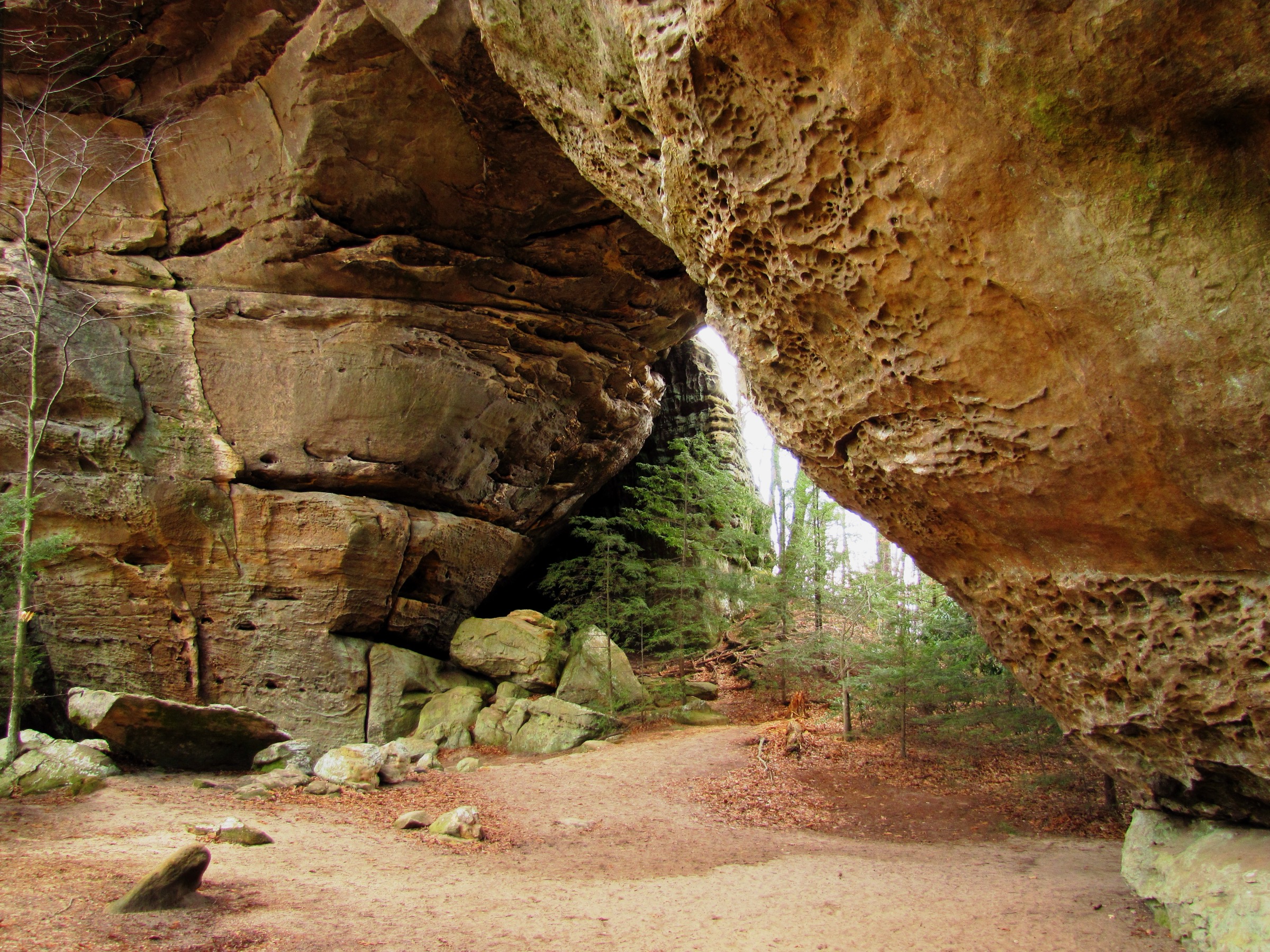
From Twin Arches Trailhead, follow the 0.7-mile Twin Arches Trail to the North Arch and South Arch. The loop can be walked clockwise, descending about 400 ft from the arches to Charit Creek Lodge, then continuing along Station Camp Creek to Jake’s Place. The return climbs back toward the plateau and follows cliff bases and rock shelters before reaching the Twin Arches and the access trail back to the parking area.
Why it is essential
Twin Arches is the signature natural-arch hike in Big South Fork. NPS describes the arches as among the most impressive rock arches in the eastern United States, with South Arch reaching about 70 ft of clearance and a 135 ft span.
Equipment
- Hiking shoes
- Water and food
- Weather layer
- Warm layer outside summer
- Sun and tick protection
- Map or offline route
- Trekking poles useful on the descent and climb
Hazards and notes
- NPS lists steep wooden stairs and cliff edges as cautions.
- Stay off unsafe cliff edges and respect rock-shelter archaeological resources.
- Charit Creek Lodge has facilities, but do not rely on food or services without current confirmation.
- The shorter 1.4-mile Twin Arches out-and-back is possible, but the full loop gives the essential day-hike experience.
GPX / route file
| Source | URL | Format | Notes |
|---|---|---|---|
| NPS — Twin Arches Loop Trail | nps.gov | Official route description | Distance, route, hazards and arch dimensions; not a GPX |
| NPS — Twin Arches Trails and Trail Profile PDF | nps.gov | Official PDF map / profile | Manual route reconstruction; no GPX |
| OpenStreetMap search | openstreetmap.org | Source-map candidate | Reusable only under ODbL terms with attribution / share-alike |
Sources
- NPS — Twin Arches Loop Trail
- NPS — Twin Arches nature page
- NPS — Twin Arches Trails and Trail Profile PDF
3. Slave Falls and Needle Arch
Snapshot
Itinerary
From Sawmill Trailhead, follow the signed trail toward Slave Falls. The route leads through upland forest and sandstone terrain to a view of the roughly 60 ft waterfall. A spur or continuation reaches Needle Arch, one of the park’s accessible sandstone arches. Return by the same route unless using a locally verified longer link toward Middle Creek or Twin Arches.
Why it is essential
Slave Falls and Needle Arch form a compact Big South Fork sampler: waterfall, sandstone arch, upland forest and west-side trail access. It is shorter and easier than Honey Creek or Twin Arches, making it a useful contrast in the five-hike set.
Equipment
- Hiking shoes
- Water
- Weather layer
- Sun and tick protection
- Offline map
Hazards and notes
- NPS notes that Slave Falls may have very little water in late summer and autumn.
- Stay back from waterfall edges and wet sandstone.
- Junctions with other west-side trails can extend the walk; carry a map if adding distance.
GPX / route file
| Source | URL | Format | Notes |
|---|---|---|---|
| NPS — Tennessee Trails, Big South Fork | nps.gov | Official trail description | Distance, access, waterfall height and seasonal flow note; not a GPX |
| NPS — Sandstone Arches | home.nps.gov | Official natural-feature context | Needle Arch context; not a route file |
| NPS — Big South Fork Trail Map Set PDF | nps.gov | Official PDF map set | Manual route reconstruction |
| OpenStreetMap search | openstreetmap.org | Source-map candidate | Reusable only under ODbL terms with attribution / share-alike |
Sources
- NPS — Tennessee Trails, Big South Fork
- NPS — Sandstone Arches, Big South Fork
- NPS — Big South Fork Trail Map Set PDF
4. Yahoo Falls and Yahoo Arch loop
Snapshot
Itinerary
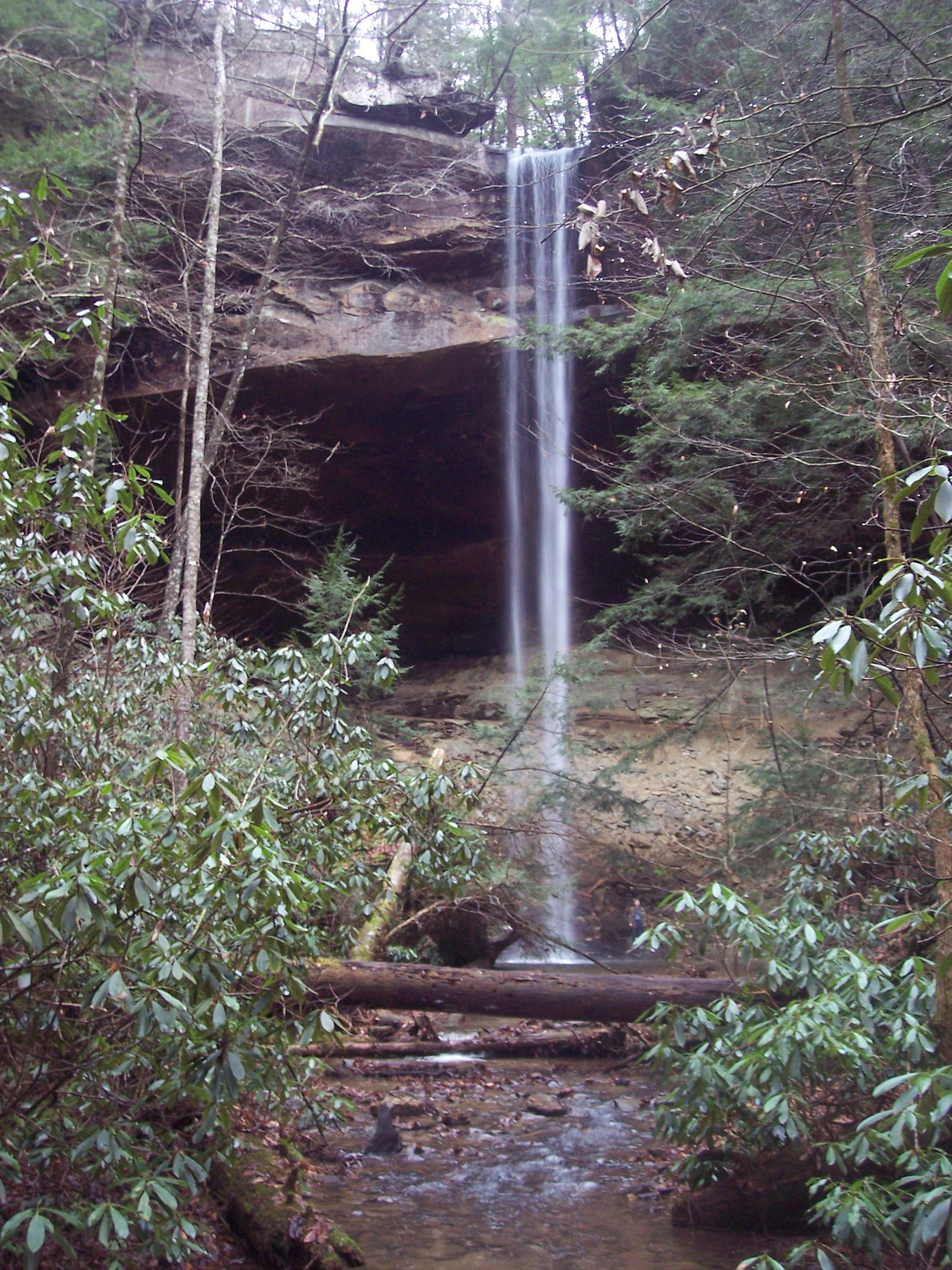
From the Yahoo Falls parking area, descend the loop trail by stairs into the rock-shelter amphitheatre below the falls. The trail passes behind the waterfall under a large rock shelter, crosses near the top of the falls and returns to the parking area. When conditions and time allow, extend to Yahoo Arch and nearby gorge overlooks using the signed trail network shown on the NPS map.
Why it is essential
Yahoo Falls is the Kentucky-side signature waterfall of Big South Fork. NPS identifies it as Kentucky’s highest waterfall at 113 ft, and the short loop combines stairs, a tall seasonal cascade, a major rock shelter and optional arch terrain.
Equipment
- Walking shoes with grip
- Water
- Weather layer
- Sun and tick protection
- Microspikes on icy winter stairs
Hazards and notes
- NPS notes steep metal steps and reduced waterfall volume in dry periods.
- Rock near the falls and behind the shelter can be slippery.
- Stay on marked trails and away from cliff edges.
- The short loop is easy to underestimate; ice or wet leaves can change the difficulty quickly.
GPX / route file
| Source | URL | Format | Notes |
|---|---|---|---|
| NPS — Kentucky Trails, Big South Fork | nps.gov | Official trail description | Loop distance, waterfall height, route character and dry-weather note; not a GPX |
| NPS — Places To Go, Big South Fork | home.nps.gov | Official place context | Yahoo Falls one-mile loop and area context |
| NPS — Big South Fork Trail Map Set PDF | nps.gov | Official PDF map set | Manual route reconstruction |
| OpenStreetMap search | openstreetmap.org | Source-map candidate | Reusable only under ODbL terms with attribution / share-alike |
Sources
- NPS — Kentucky Trails, Big South Fork
- NPS — Places To Go, Big South Fork
- NPS — Big South Fork Trail Map Set PDF
5. Blue Heron Loop and Cracks-in-the-Rocks
Snapshot
Itinerary
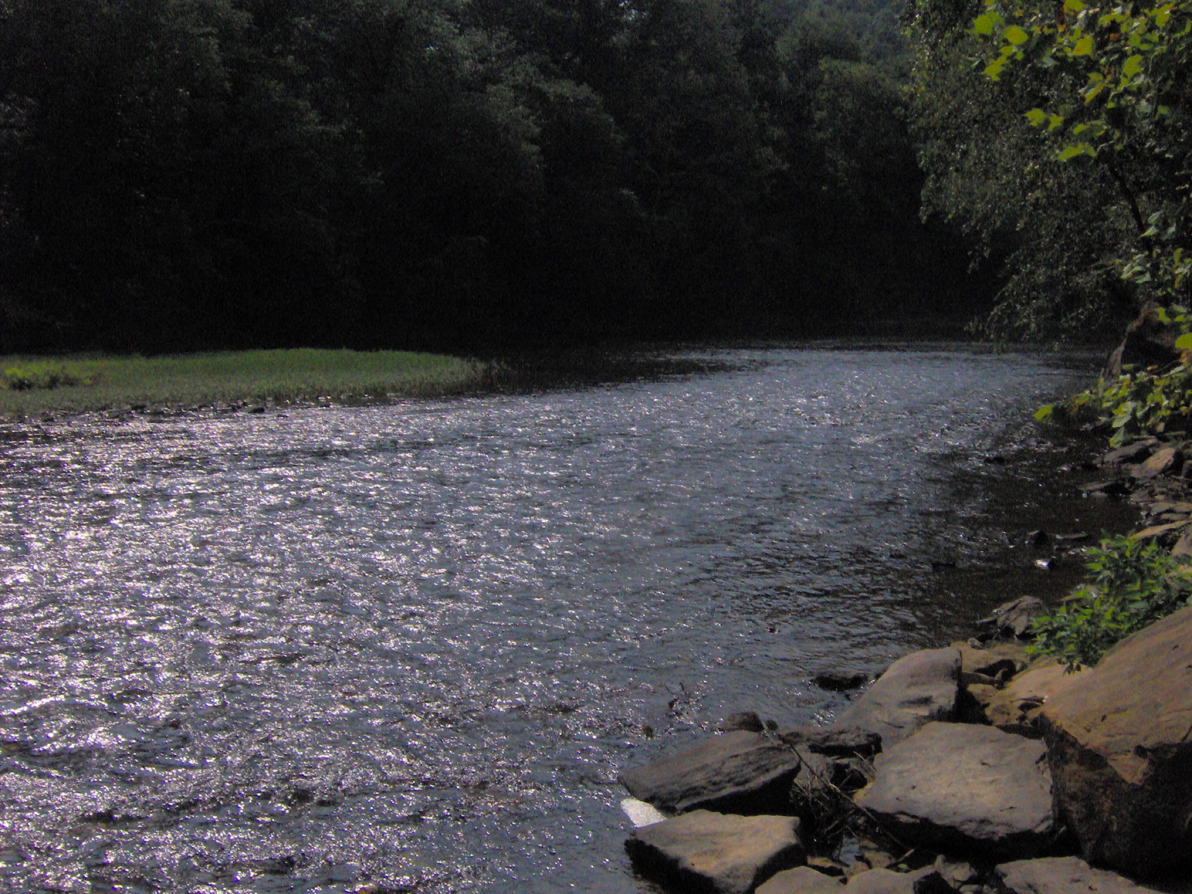
Begin at the Blue Heron Mining Community area and follow the Blue Heron Loop through the historic coal-mining landscape. The route uses old mining tramway sections, climbs to the gorge rim for overlooks and passes through the natural opening in the cliff known as Cracks-in-the-Rocks before returning toward Blue Heron.
Why it is essential
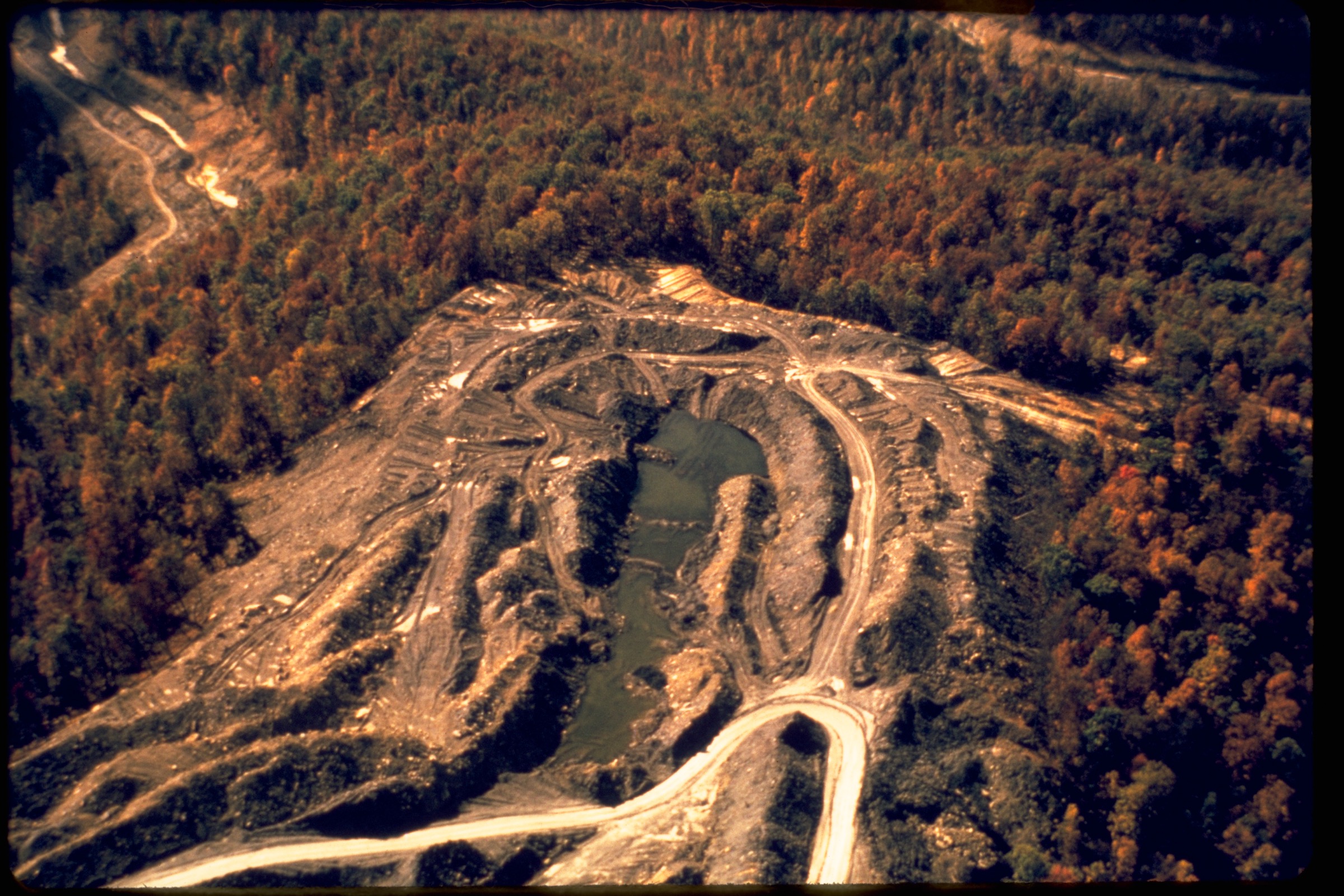
Blue Heron is the strongest culture-and-landscape day hike in Big South Fork. It combines the reconstructed Mine 18 / Blue Heron mining community, river-gorge views, old industrial routes, cliff openings and classic Kentucky-side Big South Fork terrain.
Equipment
- Hiking shoes
- Water and food
- Weather layer
- Sun and tick protection
- Map or offline route
- Headtorch useful for shaded rock openings
Hazards and notes
- Expect steps, uneven rock, cliff-edge viewpoints and potentially slick surfaces in Cracks-in-the-Rocks.
- Stay out of closed mine openings and obey all historic-site barriers.
- Railway access, if used, requires current schedule confirmation.
- Summer heat and humidity can make the loop feel harder than its moderate rating.
GPX / route file
| Source | URL | Format | Notes |
|---|---|---|---|
| NPS — Kentucky Trails, Big South Fork | nps.gov | Official trail description | Route character and distance; not a GPX |
| NPS — Big South Fork Trail Map Set PDF | nps.gov | Official PDF map set | Manual route reconstruction |
| NPS — Directions, Big South Fork | nps.gov | Official access directions | Blue Heron access notes |
| OpenStreetMap search | openstreetmap.org | Source-map candidate | Reusable only under ODbL terms with attribution / share-alike |
Sources
- NPS — Kentucky Trails, Big South Fork
- NPS — Big South Fork Trail Map Set PDF
- NPS — Directions, Big South Fork
Further reading
- NPS — Big South Fork hiking
- NPS — Big South Fork trail maps
- NPS — Tennessee Trails, Big South Fork
- NPS — Kentucky Trails, Big South Fork
- NPS — Sandstone Arches
- NPS — Places To Go, Big South Fork
- Wikimedia Commons — Big South Fork National River and Recreation Area
- Wikimedia Commons — Twin Arches (Big South Fork)
- Wikimedia Commons — Blue Heron mining community
Missing data / follow-up work
- Official GPX/KML downloads were not found for any of the five selected hikes.
- Elevation gain / loss and maximum elevation are unresolved for most NPS route descriptions.
- No licence-compatible route-specific image was found for Slave Falls and Needle Arch.
- Current closures, storm damage, flood conditions, bridge / stair status and railway schedules should be checked immediately before travel.
- Wildlife hazards including ticks and venomous snakes should be planned for from spring through autumn.