Regional overview
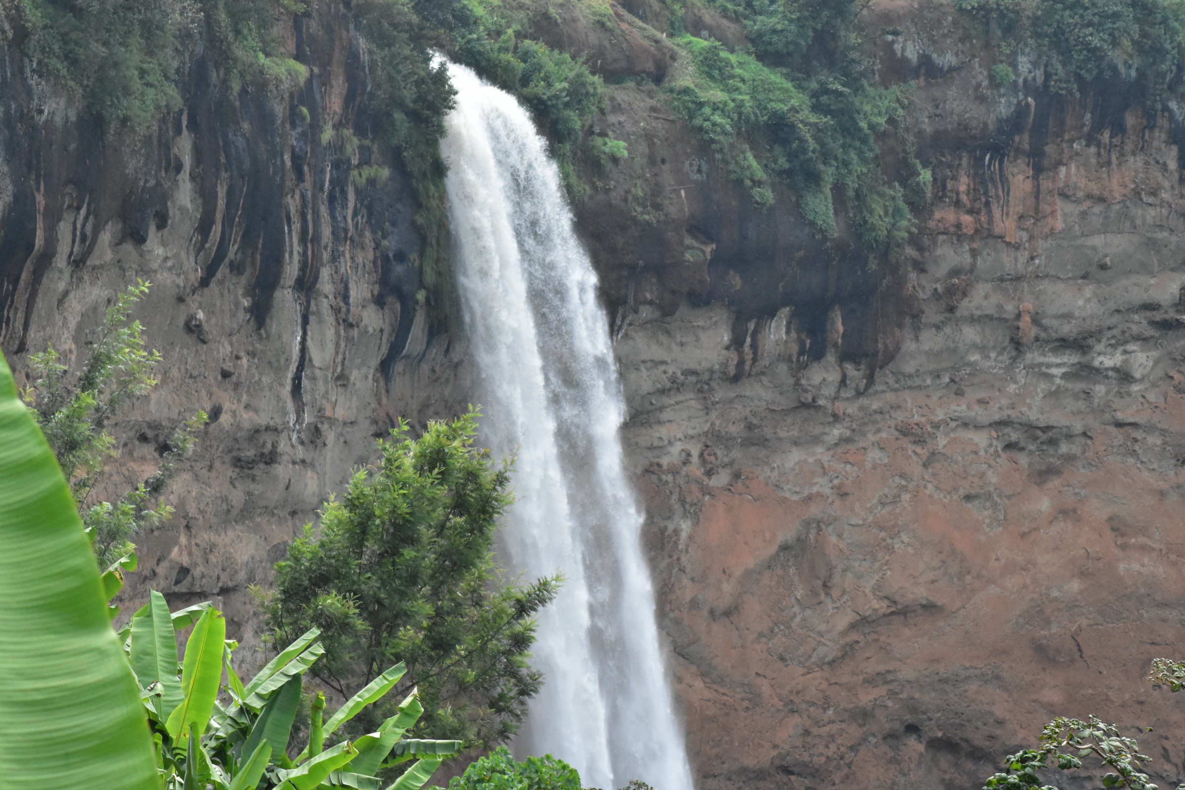
The Kigezi Highlands entry is anchored on Mgahinga Gorilla National Park, the Ugandan side of the Virunga volcanoes in Kisoro District. Uganda Wildlife Authority describes Mgahinga as a small high-altitude park on the slopes of Muhuvura, Gahinga and Sabinyo, with Ntebeko as the visitor-centre trailhead for nature walks, volcano climbs and primate tracking. The park rises from about 2,227 m to 4,127 m.
The walking character is steep volcanic forest, bamboo, heather, open high slopes and cultural forest trails. Best conditions are usually in the drier periods, especially June-August and December-February, while rain, mist and mud are common outside those windows. Access is normally via Kisoro and then the rough road to Ntebeko; UWA notes that the Kabale-Kisoro road crosses mountainous terrain and that the last road to park headquarters is rough and steep.
Selection rationale
These five hikes represent the three classic Ugandan Virunga volcano climbs, one lower bamboo/primate route, and the Batwa cultural forest trail. UWA explicitly identifies volcano climbing as a day-hike activity and notes that Muhavura, Gahinga and Sabinyo can each be climbed in a day.
Summary table
| # | Hike | Country | Route type | Distance | Gain | Max elevation | Difficulty |
|---|---|---|---|---|---|---|---|
| 1 | Mount Muhavura / Muhabura Climb | Uganda | Out-and-back | 12.6 km | 1,829 m | 4,127 m | Hard |
| 2 | Mount Sabyinyo Climb | Uganda | Out-and-back | 13.0 km | 1,193 m | 3,669 m | Hard |
| 3 | Mount Gahinga Climb | Uganda | Out-and-back | 13.5 km | 1,088 m | 3,474 m | Hard |
| 4 | Mount Gahinga Golden Monkey / Bamboo Forest Hike | Uganda | Out-and-back | 7.9 km | 334 m | 2,645 m | Moderate |
| 5 | Batwa Trail to Garama Cave | Uganda | Guided forest trail | Unresolved | Unresolved | Unresolved | Easy-Moderate |
1. Mount Muhavura / Muhabura Climb

Snapshot
Itinerary
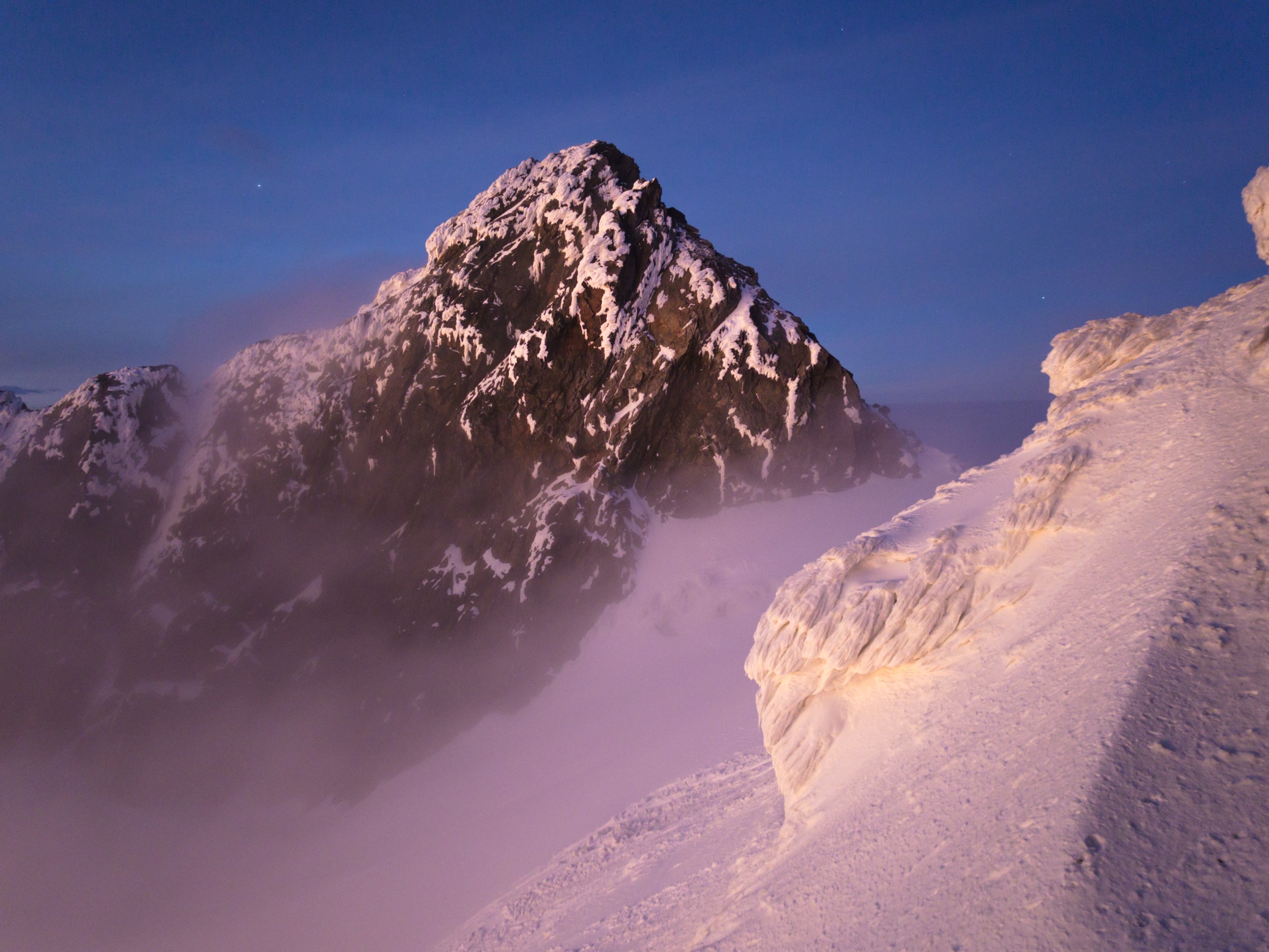
The route climbs from the Ntebeko/Mgahinga trailhead zone onto the steep Ugandan side of Mount Muhavura. UWA describes Muhavura as the park’s highest peak, with a small crater lake at the summit and broad views along the Virunga chain. The climb passes through montane forest, bamboo, heather and high-altitude vegetation before reaching the summit area.
Why it is essential
Muhavura is the highest summit in Mgahinga and the high point of this Kigezi selection. It is the most strenuous of the Ugandan Virunga day climbs and gives the clearest high-volcano profile.
Equipment
Mountain hiking equipment: sturdy boots, rain layer, warm summit layer, trekking poles, food, water, headtorch, navigation backup. Hat/gloves are sensible outside warm dry spells.
Hazards and notes
Long ascent, altitude, mud, rain, cloud and cold summit conditions. The gain slightly exceeds the normal catalogue threshold but is justified by the route’s regional importance. Check UWA guide, fee and start-time requirements locally.
GPX / KML links
| Source | URL | Format / access | Reuse status |
|---|---|---|---|
| AllTrails — Mount Muhabura | alltrails.com | Web route map | AllTrails terms; no explicit reusable GPX found |
External links
2. Mount Sabyinyo Climb

Snapshot
Itinerary
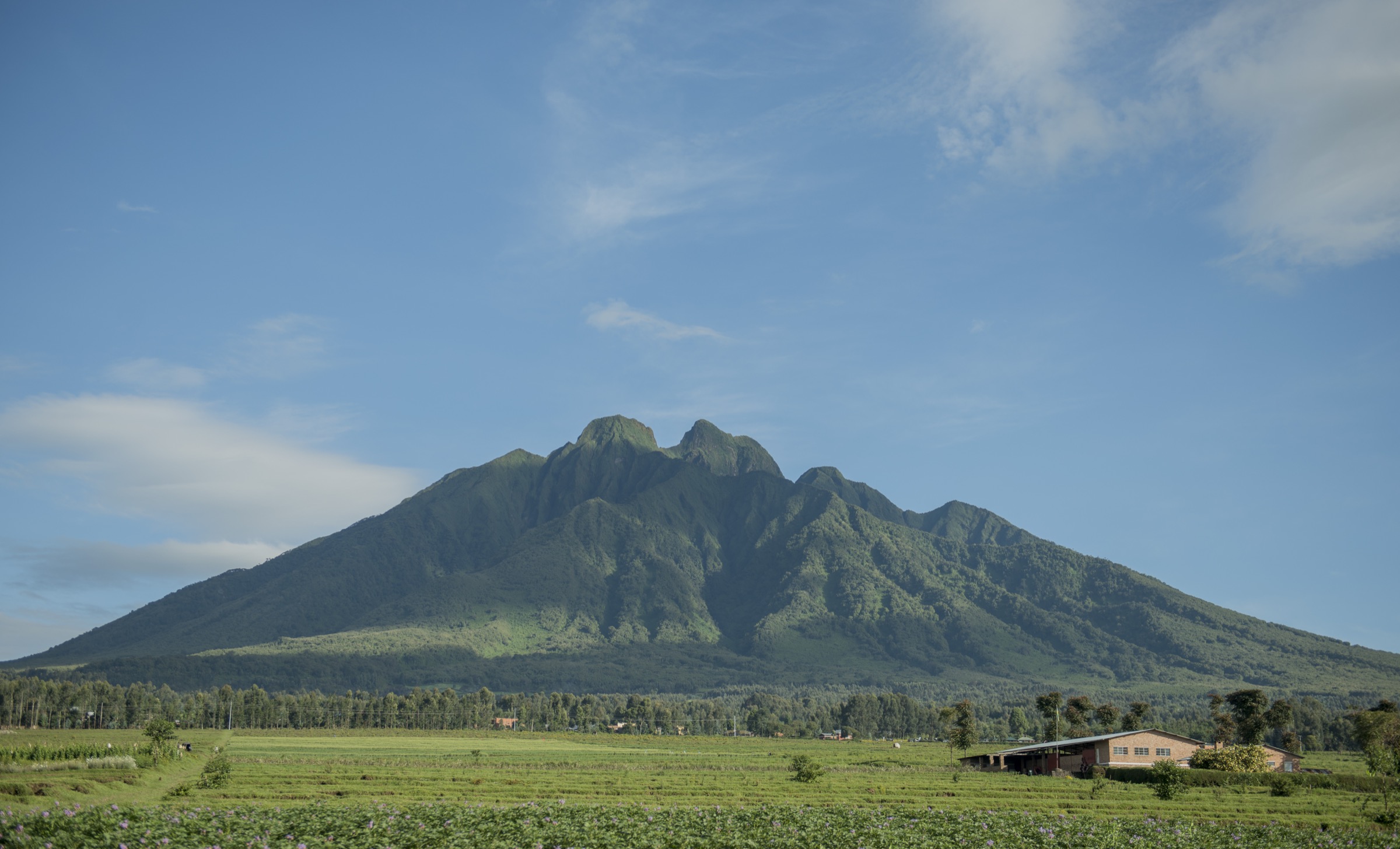
The route climbs forested and increasingly steep volcanic ground to Sabyinyo’s jagged summit ridge. UWA describes Sabyinyo’s crown as divided by deep gorges and ravines, with steep exposed sections and a fixed ladder before the summit. The top is the tri-border point of Uganda, Rwanda and the DRC.
Why it is essential
Sabyinyo is the most iconic Kigezi day hike: a dramatic summit, a three-country high point and the most technically memorable of the Ugandan Virunga walks.
Equipment
Mountain hiking equipment. Gloves can be useful on ladders/cables; a helmet is not normally listed by UWA but may be prudent if local guides advise it after rockfall or bad weather.
Hazards and notes
Exposure, ladders, mud, mist and steep descent. This is not a technical climb in normal conditions, but it is more serious than a standard forest walk.
GPX / KML links
| Source | URL | Format / access | Reuse status |
|---|---|---|---|
| AllTrails — Mount Sabyinyo | alltrails.com | Web route map | AllTrails terms; no public reusable GPX found |
External links
3. Mount Gahinga Climb

Snapshot
Itinerary
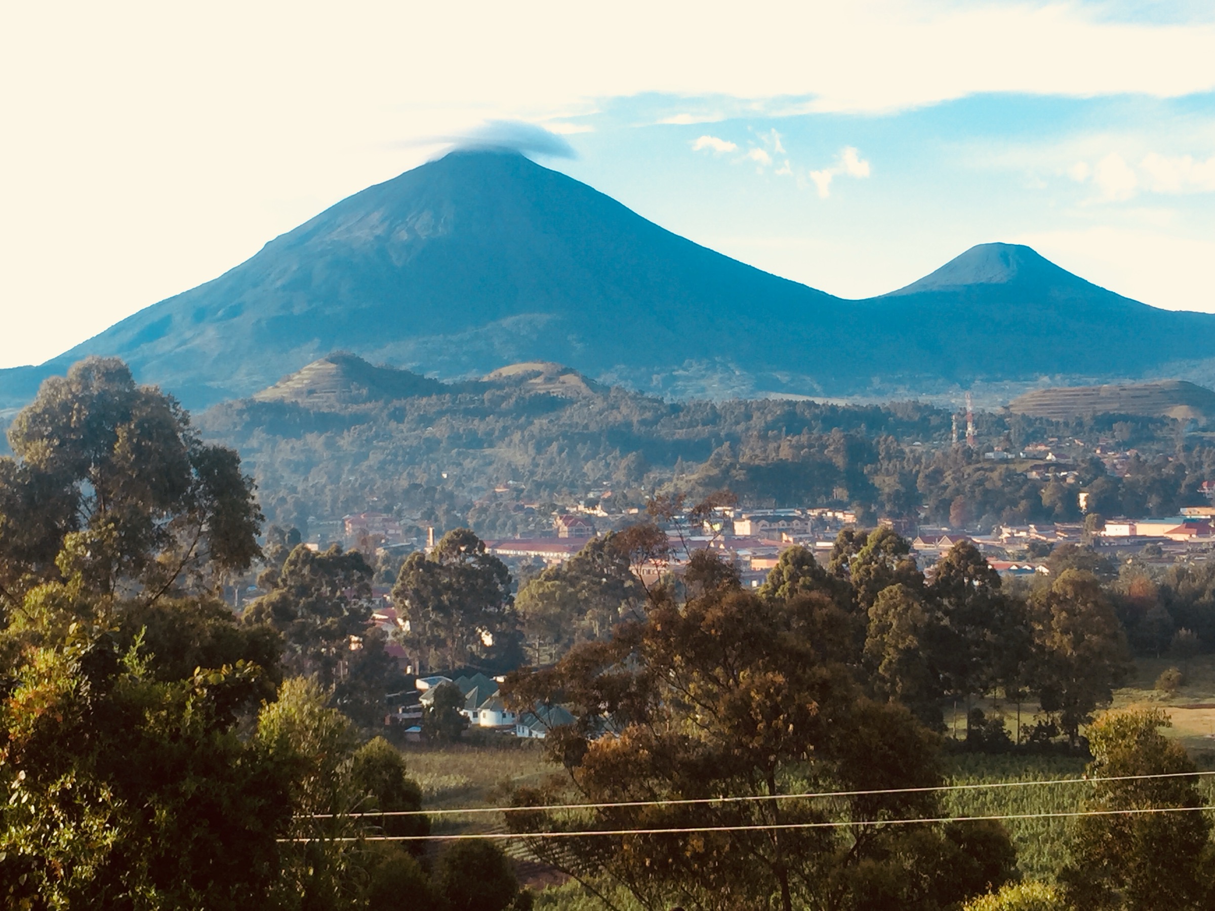
The route climbs the smallest of Mgahinga’s three volcanoes through forest and bamboo toward Gahinga’s crater. UWA describes the summit area as a bamboo-covered slope leading to a swamp-filled crater about 180 m wide.
Why it is essential
Gahinga gives a shorter, lower volcanic summit than Muhavura, but with a distinctive crater landscape and classic Virunga bamboo habitat.
Equipment
Mountain hiking equipment: boots, waterproofs, warm layer, poles, water, food, map/GPS.
Hazards and notes
Mud, steep forest trail, mist and slippery descent. Confirm guide/permit arrangements with UWA before travel.
GPX / KML links
| Source | URL | Format / access | Reuse status |
|---|---|---|---|
| AllTrails — Mount Gahingya | alltrails.com | Web route map | AllTrails terms; no public reusable GPX found |
External links
4. Mount Gahinga Golden Monkey / Bamboo Forest Hike

Snapshot
Itinerary
This lower route follows the bamboo-zone slopes associated with Mount Gahinga rather than climbing the summit. UWA identifies Gahinga’s bamboo habitat as a stronghold for golden monkeys and notes guided tracking on the volcano’s slopes.
Why it is essential
It adds the lower forest and bamboo character of Kigezi to the summit-heavy set and is a shorter alternative when weather, time or fitness make the volcano summits unsuitable.
Equipment
Standard hiking equipment, plus rainwear and insect protection.
Hazards and notes
Permit/guide requirements and wildlife-viewing rules must be checked with UWA. Trails can be muddy and sightings are not guaranteed.
GPX / KML links
| Source | URL | Format / access | Reuse status |
|---|---|---|---|
| AllTrails — Mount Gahinga Golden Monkey Hike | alltrails.com | Web route map | AllTrails terms; no public reusable GPX found |
External links
5. Batwa Trail to Garama Cave

Snapshot
Itinerary
The trail follows lower forest slopes with Batwa guides interpreting former forest life, food, medicine and shelter. UWA identifies the descent into Garama Cave as the highlight and notes that both full-day and half-day versions exist.
Why it is essential
This is the cultural/historical counterpoint to the volcano climbs and is central to understanding the human history of the Mgahinga forest.
Equipment
Standard hiking equipment. Carry rainwear, water and sturdy shoes.
Hazards and notes
The trail is guided and culturally sensitive. Distance, ascent and route-file data were not verified in this pass.
GPX / KML links
| Source | URL | Format / access | Reuse status |
|---|---|---|---|
| UWA — Mgahinga brochure | ugandawildlife.org | Official brochure / map reference | UWA copyright, no GPX; route existence verified, geometry unresolved |
External links
External links
| Source | URL |
|---|---|
| UWA — Mgahinga Gorilla National Park brochure (PDF) | ugandawildlife.org |
| AllTrails — Mount Muhabura | alltrails.com |
| AllTrails — Mount Sabyinyo | alltrails.com |
| AllTrails — Mount Gahingya | alltrails.com |
| AllTrails — Mount Gahinga Golden Monkey Hike | alltrails.com |