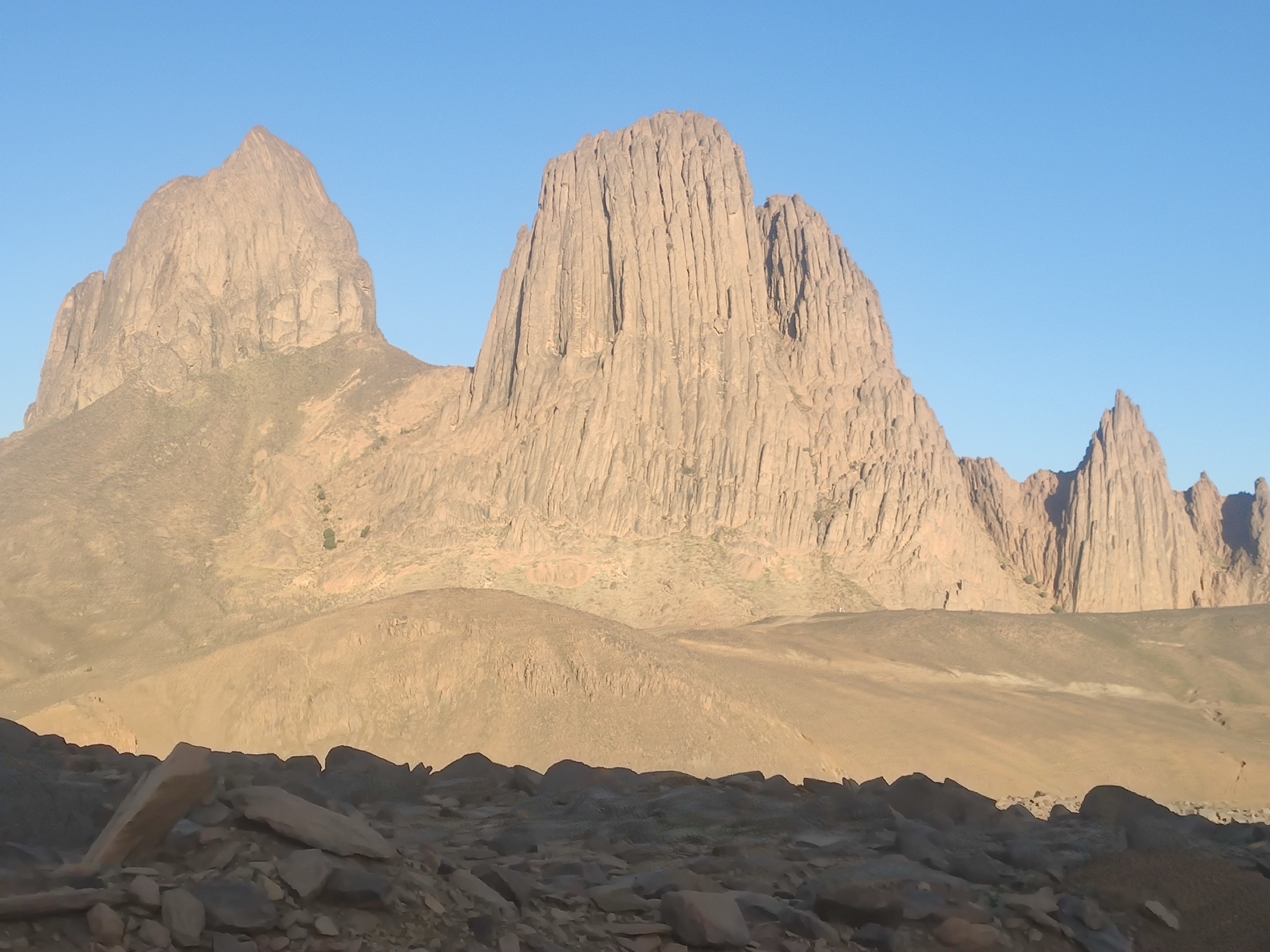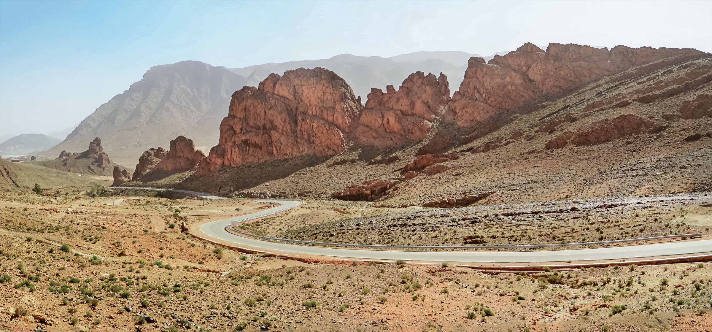
Regional overview
The Tell Atlas extends across northern Algeria into Tunisia as a chain of coastal and inland ranges with cedar forests, limestone ridges, national parks, lake basins, and Mediterranean-facing summits. Important walking areas include Djurdjura National Park, Chrea National Park, Gouraya and Taza near Bejaia/Jijel, and Tunisian northern uplands such as Zaghouan.
Online route publication is uneven. Djurdjura has some current trail-database entries, while many official park and Tunisian mountain routes need manual verification through local authorities, clubs, or maps. Spring and autumn are generally the most practical seasons; winter snow can affect Djurdjura and Chrea, while summer heat can be severe at lower elevations.
Selection rationale
The selection includes two better-sourced Djurdjura hikes, one Chrea cedar-forest candidate, one coastal Tell Atlas summit candidate near Bejaia, and one Tunisian Tell/Dorsale candidate to avoid making the region Algeria-only. Several entries are intentionally labelled candidate-only because official route data was not resolved.
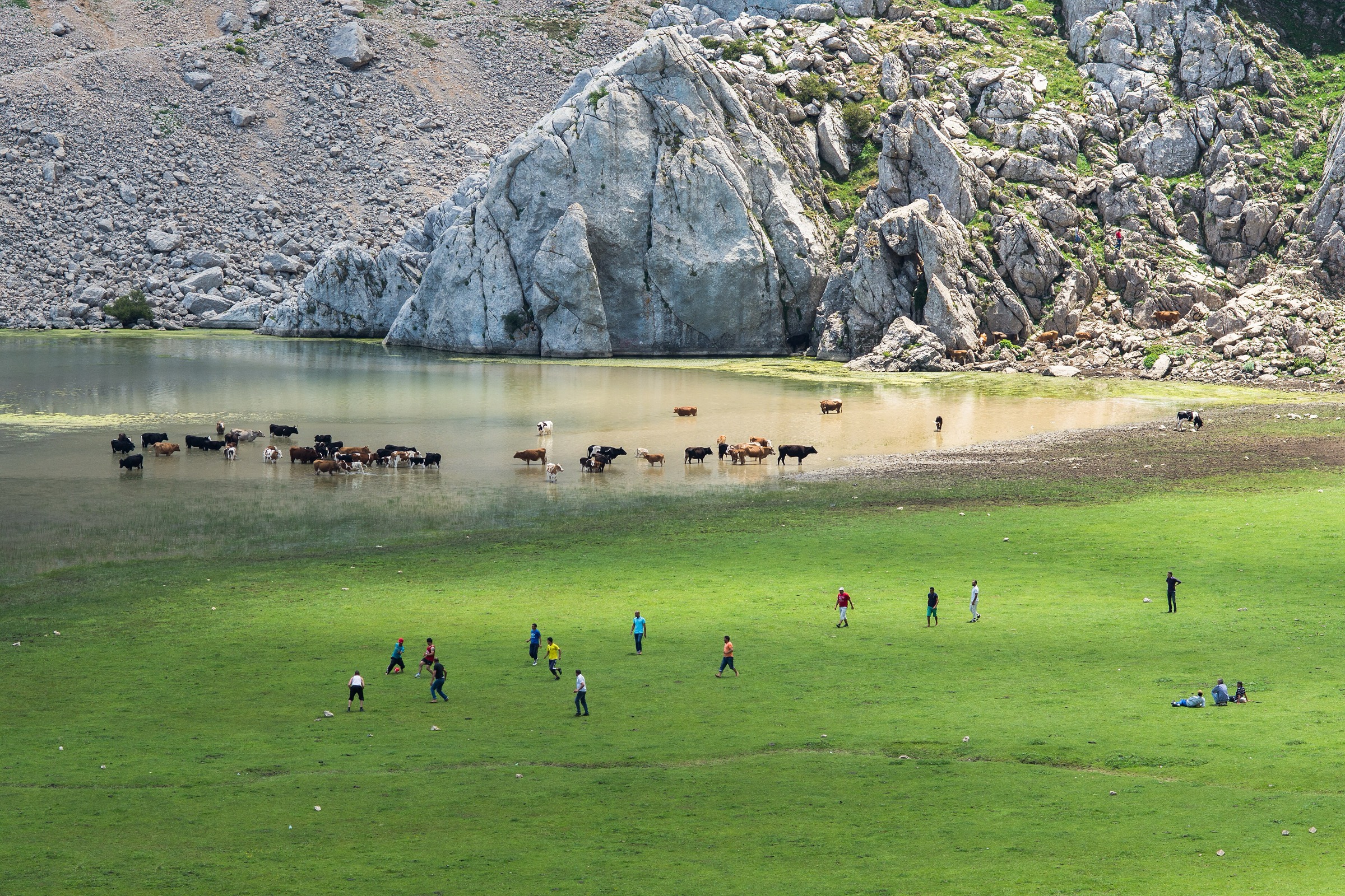
- Lac Agoulmine, Djurdjura National Park — a lake-and-limestone Djurdjura route with current trail-database statistics.
- Ras Tamedouine, Djurdjura National Park — a steep limestone summit/ridge route in a compact day.
- Chrea Cedar Forest and Ridge Walk — a candidate cedar-forest walk in the Blida/Tell Atlas.
- Yemma Gouraya Summit, Bejaia — a candidate coastal Tell Atlas summit above Bejaia.
- Jebel Zaghouan Summit Route — a candidate Tunisian Tell/Dorsale summit day.
Summary table
| # | Hike | Country | Route type | Distance | Gain | Max elevation | Difficulty |
|---|---|---|---|---|---|---|---|
| 1 | Lac Agoulmine, Djurdjura National Park | Algeria | Out-and-back | 14.6 km | 596 m | Not verified | Hard |
| 2 | Ras Tamedouine, Djurdjura National Park | Algeria | Out-and-back | 6.9 km | 567 m | Not verified | Hard |
| 3 | Chrea Cedar Forest and Ridge Walk | Algeria | Loop / out-and-back | ca. 1,500+ m area | Moderate | ||
| 4 | Yemma Gouraya Summit, Bejaia | Algeria | Out-and-back / loop | ca. 660 m | Moderate–hard | ||
| 5 | Jebel Zaghouan Summit Route | Tunisia | Out-and-back / loop | 1,295 m | Hard |
Before you go
Required equipment
The Tell Atlas combines limestone summits, cedar forest, coastal mountains and Tunisian Dorsale terrain. The same baseline equipment applies across all five walks, with extras noted per hike:
- Sturdy mountain boots; water, food and sun protection on every walk.
- Weatherproof and warm layers, especially for Djurdjura, Chrea and any winter conditions.
- Map/GPS and a navigation backup; protected-area trailheads and waymarks are often unverified.
- First-aid kit and seasonal extras (more water for low-elevation summer walks).
Current access and safety notes
- Online route publication is uneven across the Tell Atlas; many official park and Tunisian mountain routes need manual verification through local authorities, clubs, or maps.
- Winter snow can affect Djurdjura and Chrea; summer heat can be severe at lower elevations and on Tunisian summits.
- Protected-area rules were not fully verified for Djurdjura, Chrea or Gouraya; confirm locally before setting out.
- For the Tunisian Tell/Dorsale (Jebel Zaghouan), water scarcity, summer heat, route-finding and access permissions require confirmation.
- Treat candidate-only entries as research targets; do not publish or rely on unresolved route geometry without local confirmation.
1. Lac Agoulmine, Djurdjura National Park
Snapshot
Itinerary
The route follows mountain paths in Djurdjura National Park to Lac Agoulmine, then returns by the same line. Exact trailhead, waymarks, and access permissions require confirmation from the source map and local authorities.
Why it is essential
Djurdjura is one of the flagship mountain areas of the Tell Atlas, and Lac Agoulmine provides a lake-and-limestone route with current trail-database statistics.
Hazards and notes
- Snow and poor visibility in cooler seasons.
- Limestone terrain.
- Access uncertainty; protected-area rules were not verified.
GPX / KML links
| Source | URL | Format / access | Reuse status |
|---|---|---|---|
| AllTrails: Lac Agoulmine | alltrails.com | Source route page / GPX availability depends on service | Route stats checked; file reuse not confirmed under AllTrails terms |
External links
2. Ras Tamedouine, Djurdjura National Park
Snapshot
Itinerary
This out-and-back route climbs to the Ras Tamedouine area in Djurdjura National Park. It is shorter than the Lac Agoulmine route but still steep, with substantial ascent for the distance.
Why it is essential
Ras Tamedouine represents Djurdjura’s steep limestone summit/ridge hiking in a compact day route.
Hazards and notes
- Steep gradients and weather changes.
- Possible snow.
- Unclear access rules; no official route page was verified.
GPX / KML links
| Source | URL | Format / access | Reuse status |
|---|---|---|---|
| AllTrails: Ras Tamedouine | alltrails.com | Source route page / GPX availability depends on service | Route stats checked; file reuse not confirmed under AllTrails terms |
External links
3. Chrea Cedar Forest and Ridge Walk
Snapshot
Itinerary
The candidate route would use cedar-forest and ridge paths around Chrea National Park. A specific official route or reusable track was not found in this pass.
Why it is essential
Chrea is one of the best-known protected mountain areas of the Blida/Tell Atlas and is important for cedar forest and highland scenery near Algiers/Blida.
Hazards and notes
- Snow and fog in cooler seasons.
- Forest navigation.
- Protected-area access rules need confirmation; this entry is not publication-ready.
GPX / KML links
| Source | URL | Format / access | Reuse status |
|---|---|---|---|
| Unresolved | — | — | No route file found in this pass |
External links
- General Chrea National Park / Tell Atlas context; no definitive route page verified.
4. Yemma Gouraya Summit, Bejaia
Snapshot
Itinerary
The candidate route climbs from Bejaia/Gouraya National Park access points toward the Yemma Gouraya summit and viewpoint area. A reliable GPX or official walking description was not verified in this pass.
Why it is essential
Gouraya is a prominent coastal Tell Atlas mountain above Bejaia and adds a Mediterranean-facing summit to the region selection.
Hazards and notes
- Heat and steep paths/roads.
- Park access rules need checking.
- Traffic on approach roads.
GPX / KML links
| Source | URL | Format / access | Reuse status |
|---|---|---|---|
| Unresolved | — | — | No reliable route file found in this pass |
External links
- General Gouraya / Bejaia hiking context; no definitive route source verified.
5. Jebel Zaghouan Summit Route
Snapshot
Itinerary
The candidate route climbs Jebel Zaghouan, one of northern Tunisia’s most prominent mountains. A legally usable GPX/source route and official access details were not found in this pass.
Why it is essential
Jebel Zaghouan gives the Tunisia side of the Tell/Dorsale mountain system a representative summit day hike rather than making the regional file entirely Algerian.
Hazards and notes
- Summer heat and water scarcity.
- Route-finding.
- Access permissions need confirmation.
GPX / KML links
| Source | URL | Format / access | Reuse status |
|---|---|---|---|
| Unresolved | — | — | No route file found in this pass |
External links
- General Tunisia / Tell Atlas and Zaghouan regional context; no definitive route source verified.
External links
| Source | URL |
|---|---|
| AllTrails — Lac Agoulmine | alltrails.com |
| AllTrails — Ras Tamedouine | alltrails.com |
| AllTrails | alltrails.com |